The Oeschinensee Panorama Hike above Kandersteg is best understood as a mountain hike rather than an easy walk around the lake. The classic Heuberg circuit climbs from the Oeschinen gondola mountain station through Läger to Heuberg and Oberbärgli, then descends through Underbärgli to Lake Oeschinen before returning to the mountain station. The reward is an elevated view over the turquoise lake and the surrounding Blüemlisalp and Doldenhorn mountain groups. Oeschinensee also lies within the Swiss Alps Jungfrau-Aletsch UNESCO World Heritage property.
Quick Answer
The classic Heuberg Oeschinensee panorama loop is a moderate mountain hike of about 9 km with roughly 453 m of ascent. Local tourism lists about 3 hours of walking time. The route uses narrow, sometimes exposed mountain paths, so sure-footedness, a head for heights, sturdy hiking footwear, and suitable weather are important.
Key Takeaways
- The classic Heuberg circuit is about 9 km with approximately 453 m of ascent and descent.
- Official tourism information gives about 3 hours of walking time; allowing 3 to 4 hours gives you more time for photographs and breaks.
- This is a mountain hiking route with steep, narrow, and sometimes exposed terrain, not a flat family stroll around the lake.
- The main route runs from the gondola mountain station through Läger, Heuberg, Oberbärgli, Underbärgli, Oeschinensee, and back to the mountain station.
- Always check the official trail status and weather before leaving because snow, rockfall, construction, storms, or other hazards can affect mountain paths.
At a Glance
| Time Required | About 3 hours walking; allow roughly 3 to 4 hours with normal stops |
| Difficulty | Moderate mountain hike; sure-footedness and a head for heights are important |
| Tools Needed | Hiking footwear, weather-appropriate layers, water, food, sun protection, and a map or navigation app; hiking poles can help |
| Cost | No separate trail fee; gondola transport, parking, food, and other services cost extra. Check current prices before visiting. |
Oeschinensee Panorama Hike Route
The most useful way to plan this hike is to follow the established Heuberg Oeschinensee circuit. According to Tourism Adelboden-Lenk-Kandersteg, the route follows:
- Oeschinen gondola mountain station
- Läger
- Heuberg
- Oberbärgli
- Underbärgli
- Oeschinensee
- Return to the gondola mountain station
The published route is approximately 9 km long with about 453 m of ascent and descent. It reaches close to 1,987 m at its highest point. Rather than circling the shoreline, the trail climbs well above the lake before dropping back toward the water.
Note: Do not confuse the Heuberg mountain circuit with the easier walks from the gondola station to Oeschinensee. The official Oeschinensee hiking network includes easier paths that are much more appropriate for casual walkers and families with small children.
Trail Difficulty and Duration
The Oeschinensee Panorama Hike via Heuberg is rated moderate, but that label should not be interpreted as an easy sightseeing walk. The official Oeschinensee hiking information describes the Heuberg circuit as a mountain hike on a narrow path and recommends it for experienced hikers who have a head for heights and very good stamina.
Mountain hiking paths in the area can be steep, narrow, and exposed. Sure-footedness matters, particularly on sections where the slope falls away beside the trail. If heights make you uncomfortable, the easier paths between the mountain station and the lake are a better choice.
The official tourism listing gives approximately 3 hours of walking time for the 9 km circuit. A practical plan is to allow about 3 to 4 hours if you intend to stop for photographs, food, viewpoints, or time by the lake. Longer breaks can easily turn it into a half-day outing.
The important distinction is simple: the lake itself is easy to visit, but the Heuberg panorama circuit is a genuine mountain hike.
Getting to the Trailhead
The panorama circuit normally begins at the mountain station of the Oeschinen gondola above Kandersteg. Kandersteg can be reached by public transport, and the gondola valley station is accessible from the village. If you use the gondola, check the current operating schedule and last descent before starting the hike.
You can also hike uphill from Kandersteg instead of using the gondola, but that adds substantial climbing and time. The official Oeschinensee site lists the valley-to-lake hiking route separately, so do not include that ascent when comparing your day with the 9 km Heuberg circuit statistics.
Pro Tip: If your main goal is the classic elevated lake view, starting from the gondola mountain station keeps your energy focused on the Heuberg circuit rather than the additional climb from Kandersteg.
What to Expect on the Hike
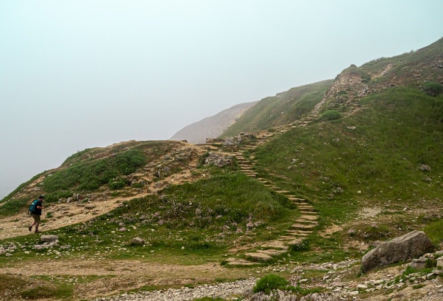
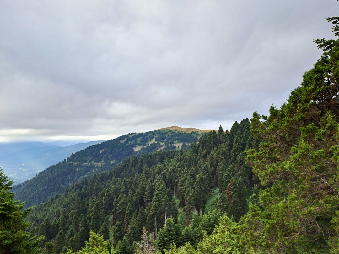
From the Oeschinen mountain station, follow signs toward Läger and then Heuberg. The early part of the circuit gains elevation rather than simply descending toward the lake. As you climb, the landscape opens from alpine pasture and scattered trees to increasingly broad views over Oeschinensee.
The Heuberg section is where the character of the hike becomes clear. The path can be narrow and runs across steep mountain terrain. Stop only where you can do so safely, especially when other hikers need to pass.
Continuing toward Oberbärgli brings you to the high portion of the circuit. From there, the route descends over alpine terrain toward Underbärgli and eventually reaches the lake area. The final section returns from Oeschinensee toward the gondola mountain station.
Waterfalls, alpine meadows, forested slopes, mountain streams, and the lake appear from different angles along the route. The experience changes noticeably as you move from the high path to the lakeshore.
Scenic Views and Points of Interest
| Location | What to Expect | Why It Matters |
|---|---|---|
| Läger | The approach toward the higher mountain trail | Transition from the gondola area into the panorama circuit |
| Heuberg | Elevated views over Oeschinensee and surrounding mountains | One of the signature viewpoints of the hike |
| Oberbärgli | High alpine scenery before the main descent | A major turning point in the circuit |
| Underbärgli | Descending alpine terrain toward the lake | Connects the high trail with Oeschinensee |
| Oeschinensee | Turquoise water beneath the surrounding high peaks | Ideal place for a longer rest before returning to the gondola |
The most impressive views come from the elevated portion between Heuberg and Oberbärgli. From the trail you can look across the lake toward the Blüemlisalp and Doldenhorn groups, with steep cliffs and high-Alpine terrain forming the backdrop.
After descending to Oeschinensee, the perspective changes completely. Instead of looking down on the lake, you are close to the water beneath the surrounding mountains. Restaurants and seasonal services may be available in the lake area, but opening times vary, so carry enough food and water to complete the hike without depending on them.
The surrounding region forms part of the Swiss Alps Jungfrau-Aletsch World Heritage property. UNESCO recognizes the wider area for its exceptional High Alpine formation, glaciers, ecological diversity, and mountain landscapes.
Wildlife and Flora
The Oeschinensee area supports alpine and subalpine habitats, so hikers may encounter wildflowers and wildlife along the route. Tourism Adelboden-Lenk-Kandersteg notes that chamois and ibex may be spotted with luck and patience on the Heuberg circuit, although no wildlife sighting can be guaranteed.
Alpine flowers add color to meadows during the growing season. Enjoy them where they grow rather than picking or trampling them, and stay on marked paths where required. Keeping your distance from wildlife also reduces disturbance and gives animals space to move naturally.
Wildlife sightings are a bonus. The dependable highlight of this route is the changing view of Oeschinensee from the mountain trail above the lake.
Tips for a Successful Hike
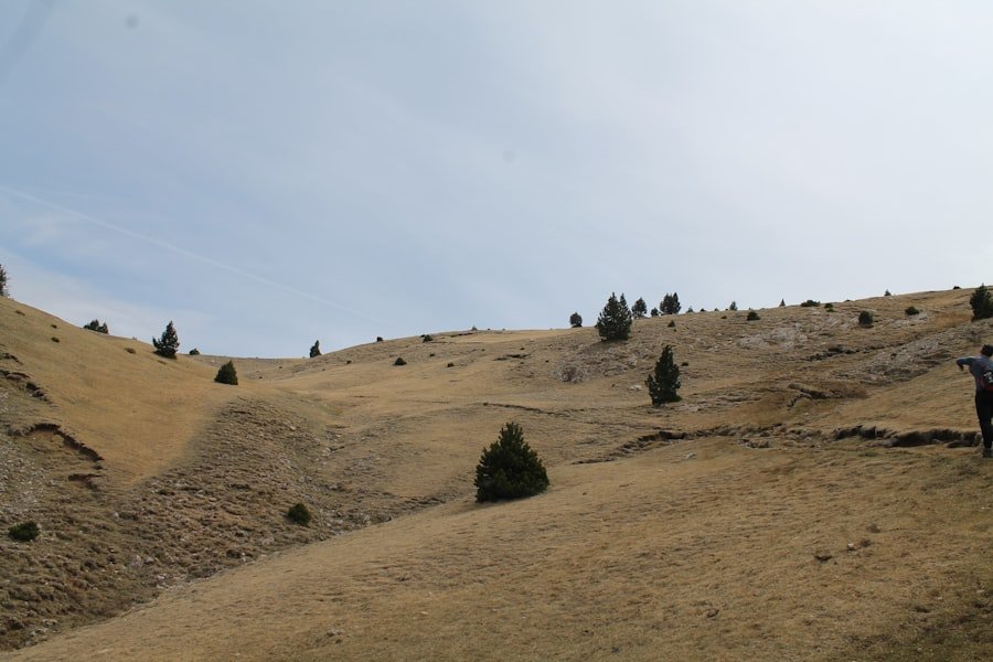
Good preparation makes a much bigger difference here than speed. Wear hiking footwear with reliable grip and choose clothing that can handle changing mountain temperatures. The official Oeschinensee guidance recommends weatherproof equipment, sufficient fluids, food, sun protection, and suitable hiking shoes.
- Footwear: Choose hiking shoes or boots with good tread.
- Water: Carry enough for the full hike rather than relying on restaurants.
- Food: Pack snacks or a light meal, particularly if you expect to spend several hours on the mountain.
- Layers: Carry an insulating or weather-resistant layer even when the valley is warm.
- Sun protection: Bring sunscreen, sunglasses, and a hat.
- Navigation: Follow official signs and consider carrying an offline map.
- Hiking poles: Optional, but useful for some hikers on the climb and descent.
A camera or phone is worth bringing, but avoid stopping in the middle of narrow or exposed sections to take photographs. Wait for a wider, secure place where you are not blocking the trail.
Pro Tip: Give yourself more time than the official three-hour walking estimate. The route is far more enjoyable when you can stop at safe viewpoints without worrying about missing the gondola’s final descent.
Best Time and Trail Conditions
The safest time to attempt the panorama circuit is when the mountain route is officially open and the trail is free of problematic snow or other hazards. Do not rely on a calendar month alone.
Early-season conditions deserve particular care. Official route information warns that avalanche snow can remain in gullies in May, creating a risk of breaking through unstable snow. Conditions differ from year to year, so an early warm spell does not automatically mean the entire mountain trail is ready for hiking.
Summer and early autumn often provide the simplest planning conditions, but rain, thunderstorms, rockfall, snow, maintenance work, or other hazards can still affect the route. Before leaving Kandersteg, check the official Oeschinensee live operating and trail status.
Safety Precautions
Warning: The Heuberg panorama circuit includes steep and sometimes exposed mountain terrain. Do not continue if the trail is closed, snow-covered beyond your experience, affected by a hazard warning, or if you are uncomfortable with the exposure. Respect all barriers and local instructions.
Check the forecast before starting and continue watching the sky while hiking. Mountain weather can change quickly. MeteoSwiss provides current Swiss weather-hazard information, including thunderstorm, wind, rain, snow, and other warnings.
If thunderstorms are expected, postponing an exposed mountain hike is safer than trying to outrun changing conditions. Do not linger on exposed ridges or open high terrain during lightning activity.
Tell someone your plan if you are hiking alone, carry a charged phone, and bring a compact first-aid kit. Stay on official routes and do not cross closure barriers. If you reach a section that feels beyond your experience, turning around is the correct decision.
What If the Panorama Route Feels Too Difficult?
You do not need to complete the Heuberg circuit to enjoy Oeschinensee. The official hiking network includes easier walks between the gondola mountain station and the lake, including routes intended for ordinary walkers. Choose one of those alternatives if you are travelling with very young children, do not have suitable mountain footwear, dislike exposed paths, or simply want a relaxed lake visit.
Note: Trail availability changes. A route that was open during a previous visit, video, or trip report may be closed when you arrive, so check the official status on the day of your hike.
Conclusion and Recommendations
The Oeschinensee Panorama Hike via Heuberg is one of the strongest choices around Kandersteg for hikers who want an elevated view over Lake Oeschinen rather than only visiting the shore. Its approximately 9 km distance and three-hour official walking time may sound modest, but the 453 m of climbing, narrow mountain trail, steep terrain, and exposure make preparation important.
Start only when weather and trail conditions are suitable, wear proper hiking footwear, carry food and water, and allow extra time for safe stops. Hikers who are comfortable on mountain paths can enjoy a varied circuit through Läger, Heuberg, Oberbärgli, Underbärgli, and the lakeshore. Visitors who prefer an easier outing can still experience Oeschinensee by choosing the gentler paths from the gondola station instead.
Before travelling, use the official Oeschinensee status page rather than relying on an old trip report or fixed seasonal assumption. That one check can tell you far more about the day’s suitability than the month shown on the calendar.
Frequently Asked Questions
What is the difficulty level of the Oeschinensee Panorama Hike?
The Heuberg Oeschinensee circuit is rated moderate, but it is a mountain hike rather than an easy walking path. The route includes steep, narrow, and sometimes exposed terrain, so you should be sure-footed, in good physical condition, and reasonably comfortable with heights.
How long does the Oeschinensee Panorama Hike take?
Official local tourism information lists about three hours of walking time for the approximately 9 km circuit. Allowing three to four hours is more realistic if you want time for photographs, short rests, and enjoying the lake.
How much elevation gain is there?
The published Heuberg Oeschinensee circuit has approximately 453 m of ascent and a similar amount of descent.
Where does the panorama hike start?
The standard circuit starts at the Oeschinen gondola mountain station above Kandersteg. From there it follows the route through Läger, Heuberg, Oberbärgli, Underbärgli, Oeschinensee, and back toward the mountain station.
Is the Oeschinensee Panorama Hike suitable for children?
That depends on the child’s mountain-hiking experience, stamina, sure-footedness, and comfort with exposed terrain. The Heuberg circuit should not be treated as a stroller-friendly family walk. Families wanting an easier experience can choose the gentler paths between the gondola station and Oeschinensee.
Do I need hiking boots?
Sturdy hiking footwear with reliable grip is strongly recommended. The Heuberg route uses mountain terrain where good traction and foot support are more important than on the easier paths near the gondola and lakeshore.
What should I bring on the hike?
Bring suitable hiking footwear, enough water, food or snacks, weather-appropriate layers, sun protection, a charged phone, and navigation information. Hiking poles and a small first-aid kit are also useful.
When is the best time to hike the Oeschinensee Panorama Trail?
The best time is whenever the mountain route is officially open and current weather and trail conditions are suitable. Summer and early autumn often provide easier planning, while early-season snow can remain in mountain gullies. Always check the official live status before setting out.
Can I still visit Oeschinensee without doing the Heuberg circuit?
Yes. Easier walking routes connect the gondola mountain station with the lake, so you can enjoy Oeschinensee without completing the steeper panorama circuit.
Sources
- Tourism Adelboden-Lenk-Kandersteg: Heuberg Oeschinensee — route distance, duration, elevation, directions, difficulty, safety, and wildlife information.
- Official Oeschinensee Hiking Guide — trail categories, Heuberg mountain-hike requirements, equipment, and easier alternative routes.
- Oeschinensee Live Operating Status — current gondola, hiking-trail, service, closure, and hazard information.
- UNESCO World Heritage Centre: Swiss Alps Jungfrau-Aletsch — World Heritage status, geology, glaciers, ecosystems, and conservation significance.
- MeteoSwiss Weather Hazards — official Swiss weather warnings relevant to mountain-hiking conditions.