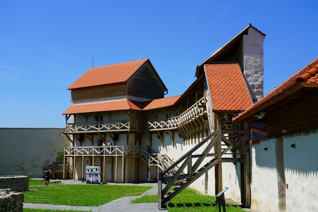
The First to Bachalpsee trail is one of the easiest ways to reach a scenic alpine lake above Grindelwald without committing to a full-day mountain hike. The out-and-back route starts at the First mountain station, climbs briefly, and then crosses open mountain terrain to Bachalpsee. This guide covers the difficulty, walking time, gondola access, trail conditions, equipment, facilities, and family suitability.
Last updated: July 23, 2026
Quick Answer
The First to Bachalpsee trail is an easy 5.8 km out-and-back hike with about 202 m of climbing. Official sources estimate 1 hour 40 minutes to 1 hour 50 minutes of walking without long stops. Allow two to three hours at First for a relaxed hike, lake visit, and photos.
Key Takeaways
- The trail begins and ends at the First mountain station above Grindelwald.
- The verified route is about 5.8 km long, with approximately 202 m of ascent and descent.
- Allow 1 hour 40 minutes to 1 hour 50 minutes of walking, excluding breaks and time at the lake.
- The trail is rated easy, but it has an uphill start and a mostly natural mountain surface.
- The gondola journey from Grindelwald to First takes about 25 minutes each way.
- Check the live trail, gondola, and mountain-weather information before leaving Grindelwald.
- Do not rely on finding staffed food, drinking-water, or toilet services at Bachalpsee.
First to Bachalpsee Trail: Difficulty, Time, and What to Expect
The First to Bachalpsee trail is an approachable mountain walk for active beginners, casual hikers, and many families. It is not completely flat, and an easy rating does not guarantee easy conditions in rain, snow, ice, fog, or strong wind.
The route published by Grindelwald Tourismus lists 5.8 km, 202 m of ascent, 202 m of descent, a 2,280 m high point, and a walking time of 1 hour 40 minutes. Jungfrau Railways gives approximately 1 hour 50 minutes for the return hike. Treat both times as estimates that exclude a relaxed lake stop.
First to Bachalpsee Trail Facts
At a Glance
| Trail Name | First to Bachalpsee |
| Location | Grindelwald-First, Bernese Oberland, Switzerland |
| Route Type | Out and back from First |
| Distance | About 5.8 km round trip |
| Walking Time | About 1 hour 40 minutes to 1 hour 50 minutes without long stops |
| Difficulty | Easy in open, dry conditions |
| Elevation Change | About 202 m ascent and 202 m descent |
| Route High Point | About 2,280 m |
| Bachalpsee Elevation | About 2,265 m |
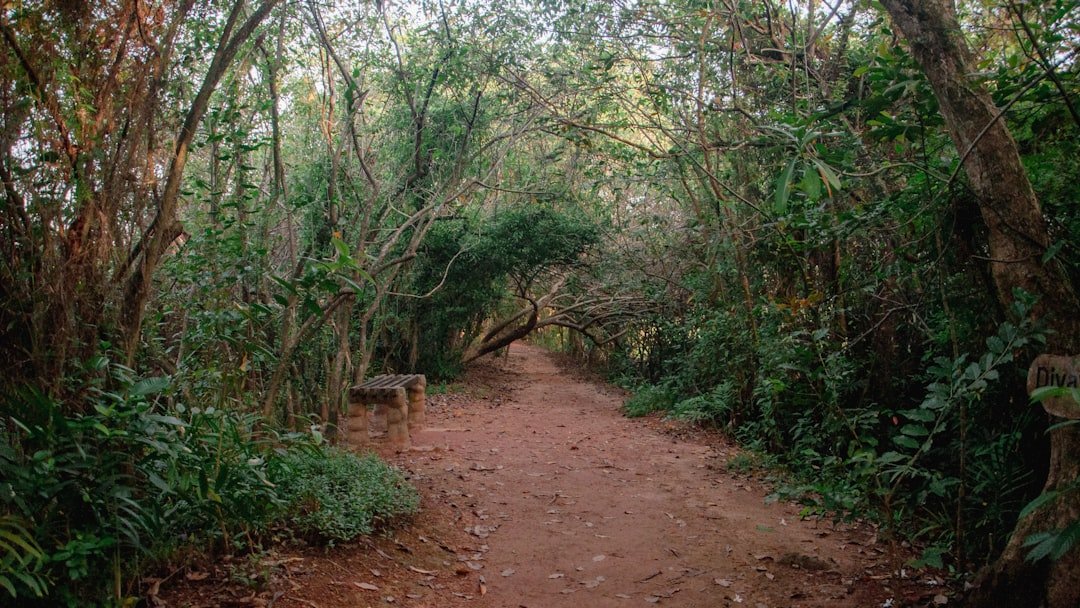
| Trail Surface | Mostly natural mountain trail with gravel, dirt, and uneven sections |
| Essential Gear | Grippy shoes, water, food, sun protection, warm layer, and rain shell |
| Cost | No separate hiking fee; gondola tickets cost extra and fares can change |
| Best For | Active beginners, families with steady walkers, casual hikers, and photographers |
How Difficult Is the First to Bachalpsee Trail?
The First to Bachalpsee trail is best described as an easy mountain hike rather than a flat lakeside walk. The first part climbs away from the First mountain station and is usually the section that hikers notice most. The route then becomes gentler as it crosses open alpine terrain toward the lake.
The trail does not normally require technical hiking equipment when it is officially open and dry. However, its natural surface can include loose gravel, dirt, rocks, mud, or patches of snow. Smooth city shoes offer less grip than walking shoes or light hiking shoes.
Warning: An easy trail rating applies to normal route conditions. Rain, snow, ice, fog, thunderstorms, or strong wind can make the hike significantly harder. Turn around if conditions deteriorate or anyone in your group no longer feels secure.
Children, Strollers, and Limited Mobility
The route can work well for children who can walk approximately six kilometres and manage the initial climb without being carried for most of the journey. Allow additional time, bring food and water, and keep children close on busy or uneven sections.
The official route information does not certify the trail as barrier-free. Much of the surface is natural mountain trail, so a wheelchair or standard small-wheeled stroller is not a reliable choice. Some visitors may manage dry conditions with a robust all-terrain stroller, but mud, loose gravel, snow, and the uphill start can make progress difficult. Do not base the trip on guaranteed stroller access.
First to Bachalpsee Route Breakdown
1. First Mountain Station and the Initial Climb
The walk begins near the First mountain station at roughly 2,166 m. Follow the marked route toward Bachalpsee. The beginning gains elevation and can feel more demanding than the overall easy rating suggests, especially if you have just arrived from the valley.
2. Alpine Meadows and Rolling Terrain
After the opening climb, the path crosses broad mountain terrain with gentler rises and descents. The route is generally straightforward, but the surface remains natural rather than paved. Stop occasionally to look back toward First and the surrounding Bernese Oberland peaks.
3. Bachalpsee and the Return to First
Bachalpsee consists of an alpine lake area surrounded by open mountain scenery. In calm weather, the water may reflect the Schreckhorn and Wetterhorn. Return to First along the same route unless you have separately planned and checked a longer hike.
How Long Does the First to Bachalpsee Hike Take?
Official route estimates range from about 1 hour 40 minutes to 1 hour 50 minutes for the complete out-and-back walk. These estimates represent walking time and do not include a picnic, photography, long breaks, changing weather, or waiting for slower group members.
Allow two to three hours from the moment you begin walking at First if you want a relaxed visit. Photographers and families may prefer closer to three hours because conditions at the lake, including wind, cloud, and light, can affect how long they want to stay.
The gondola ride between Grindelwald and First takes about 25 minutes each way. A practical total from the First valley station is therefore approximately three to four and a half hours, depending on queues, walking pace, and time at the lake.
Pro Tip: Work backward from the last gondola descent and keep at least 30 minutes of extra time. Do not plan to reach First only a few minutes before the final ride down.
Best Time and Trail Conditions
The most important question is not simply the month but whether the trail is open and suitable on the day of your visit. Mountain paths may hold snow after warm conditions have returned to Grindelwald, and storms or maintenance can affect transport.
Before leaving the village, check all three of the following:
- Official Bachalpsee route status
- First gondola operating information
- MeteoSwiss forecast for Grindelwald
Summer and early autumn often provide the simplest walking conditions, but no calendar date guarantees a dry, snow-free path. During colder periods, Bachalpsee may be reached by a designated winter route when it is officially prepared and open. Winter hiking involves snow, ice, lower temperatures, shorter daylight, and different equipment, so do not apply summer timing and footwear assumptions.
How Do You Get to the Trailhead at First?
The hike starts at First, not in the village of Grindelwald. Most visitors take the First gondola from the valley station in central Grindelwald.
- Travel to Grindelwald railway station: Trains from Interlaken Ost serve Grindelwald regularly.
- Walk to the First valley station: The official destination information estimates about ten minutes on foot from Grindelwald railway station.
- Ride the gondola to First: The journey takes about 25 minutes and passes the intermediate stations of Bort and Schreckfeld.
- Follow the signs to Bachalpsee: The walking route starts near the First mountain station and returns to the same place.
Note: Grindelwald Terminal and Grindelwald railway station are different stops. For the village and the walk to the First gondola, continue to Grindelwald station rather than leaving the train at Grindelwald Terminal.
Parking in Grindelwald
Jungfrau Railways states that parking is not available close to the First valley station. Its official guidance recommends parking at Grindelwald Terminal and using the shuttle to the First cable car, or using public transport. Check the Grindelwald-First destination page and live parking information before driving into the village.
Tips for Hiking the First to Bachalpsee Trail
A little planning makes this short hike more comfortable and reduces the risk of missing the return gondola.
- Start earlier in the day: This gives you more transport flexibility and may help you avoid the busiest period.
- Check the webcam and forecast: A clear valley does not guarantee a clear mountain station.
- Wear shoes with grip: Natural trail surfaces can become slippery when wet.
- Bring layers: Wind and temperature at First can differ from conditions in Grindelwald.
- Carry your own water and food: Do not depend on finding supplies at the lake.
- Use sun protection: The route is exposed, and reflection from snow or water can increase glare.
- Save an offline map: The route is marked, but a downloaded map remains useful in cloud or poor visibility.
- Stay on the marked trail: This protects alpine vegetation and reduces erosion.
- Check the last gondola: Confirm the descent time on the day rather than relying on an old screenshot or blog post.
Safety Precautions and Weather Considerations
Although the route is rated easy, it remains an alpine hike. Jungfrau Railways states that walking on its hiking and mountain paths is undertaken at the visitor’s own responsibility and risk. Plan the route according to the least experienced person in your group.
Use the Swiss mountain-hiking safety guidance to check your preparation, footwear, clothing, food, water, route timing, and weather plan. Walking-time estimates are approximate and normally exclude breaks.
Watch for darkening clouds, thunder, sudden fog, strong wind, and rapidly falling temperature. Open alpine terrain offers limited shelter. If thunder develops or visibility becomes poor, return toward First rather than waiting at the lake.
Drink regularly and pace the opening climb. First is more than 1,100 m above Grindelwald village, so some visitors may notice the elevation even on a short route.
Keep your phone charged, but do not rely entirely on mobile reception. Tell someone your route if you hike alone. For a serious medical emergency in Switzerland, call 144 and give your location as accurately as possible.
What Should You Bring on the Hike?
A small daypack is enough for most visitors, but pack for mountain conditions rather than village conditions. Even when Grindelwald feels warm, First and Bachalpsee may be windy, cool, or wet.
- Sturdy walking shoes or light hiking shoes with a grippy sole
- Enough drinking water for your group
- Simple snacks or a packed lunch
- Waterproof rain jacket or wind shell
- Warm mid-layer for stops at the lake
- Sunscreen, sunglasses, and a hat
- Small first-aid kit and blister care
- Charged phone with the route saved offline
- Portable battery pack if you use your phone for photos and navigation
- Camera or smartphone
- Trekking poles if they improve your balance or comfort
- Rubbish bag for everything you carry in
Are There Facilities on the First to Bachalpsee Trail?
The verified route information lists the First Mountain Restaurant as the route’s rest stop. Use available station or restaurant facilities at First before beginning the hike.
Do not expect staffed food, drinking-water, or toilet services at Bachalpsee. The lake is a natural mountain destination rather than a serviced visitor centre. Carry what you need, take all rubbish back to First, and do not leave food for wildlife.
Opening hours for restaurants and other services may differ from gondola hours and can change by season. A packed snack and sufficient water remain useful even when you plan to eat at First.
Enjoying the Scenery and Wildlife Along the Trail
The route’s main reward is its broad mountain scenery. The verified trail description highlights views toward the Schreckhorn and Wetterhorn. When the air is still, the lake may reflect the surrounding peaks, although clear reflections are never guaranteed.
You may see alpine flowers, insects, birds, livestock, or small wild animals. Observe animals from a distance, keep food to yourself, and do not approach livestock closely. Give other walkers space on busy sections and avoid stepping off the route to create a private photo spot.
Early light, low wind, and fewer visitors may improve photography, but mountain cloud can form at any time. Check the First webcam before paying for transport if the view is a major reason for your visit.
Who Should Hike the First to Bachalpsee Trail?
This hike is a strong choice for active beginners, casual hikers, families with capable walkers, and visitors who want a high-reward alpine route without a long summit day. You should be comfortable walking for close to two hours on natural ground and managing approximately 202 m of climbing.
Postpone or choose a shorter activity if anyone in the group has serious balance problems, footwear without grip, limited ability to manage uneven ground, or difficulty walking the full distance. The First viewpoint can still provide mountain scenery without completing the lake hike.
The route may also be unsuitable when the official status is closed or when thunderstorms, heavy rain, snow, ice, dense fog, or strong wind are forecast. An easy rating is not a reason to ignore current conditions.
Making the Most of Your First to Bachalpsee Hike
A practical plan is to arrive in Grindelwald early, check the live gondola and trail information, ride to First, and begin the hike with enough time to return comfortably. Walk at the pace of the slowest person in your group and decide before the lake how much time you can safely spend there.
You can also visit the First viewpoint or First Cliff Walk while you are near the mountain station. Add these activities to your schedule rather than treating them as part of the published Bachalpsee walking time.
Longer routes continue beyond Bachalpsee toward places such as Faulhorn, Waldspitz, Bort, or Schynige Platte. These are separate hikes with greater distance, elevation, navigation, weather exposure, and transport planning. Do not continue simply because the basic Bachalpsee route felt easy. Check a dedicated route description and the last available transport before extending the day.
When the trail is open and conditions are suitable, the First to Bachalpsee route provides an accessible introduction to Grindelwald’s alpine scenery. Stay on the marked path, carry out everything you bring, and leave enough time for the gondola descent.
Frequently Asked Questions
What is the difficulty level of the First to Bachalpsee trail?
The route is officially rated easy. However, it begins with an uphill section and follows a natural mountain surface that can include loose gravel, rocks, mud, or snow. The easy rating assumes that the trail is open and conditions are suitable.
How long does it take to complete the First to Bachalpsee trail?
Official sources estimate approximately 1 hour 40 minutes to 1 hour 50 minutes for the return walk without long stops. Allow two to three hours from First if you want a relaxed pace, photographs, and time beside the lake.
How far is the First to Bachalpsee hike?
The standard out-and-back route is about 5.8 km, with approximately 202 m of ascent and 202 m of descent.
Is the First to Bachalpsee trail suitable for beginners?
Yes. It can suit beginners who are comfortable walking uphill and covering almost six kilometres on natural terrain. Beginners should use grippy footwear, start with enough time, and avoid poor weather or closed-trail conditions.
Is the Bachalpsee hike suitable for children?
It can be suitable for children who can manage the distance, the opening climb, and uneven ground. Allow extra time, carry food and water, and keep children close in poor visibility or crowded areas.
Is the First to Bachalpsee trail stroller-friendly?
The route is not officially presented as barrier-free. Its natural surface and uphill beginning make standard strollers unreliable. A robust all-terrain stroller may work for some families in dry conditions, but mud, gravel, snow, and steep sections can prevent comfortable use.
What should hikers bring for the Bachalpsee trail?
Bring grippy walking shoes, water, food, a waterproof layer, a warm layer, sun protection, a small first-aid kit, and a charged phone with an offline route. Trekking poles are optional.
Are there facilities along the First to Bachalpsee trail?
The verified route lists First Mountain Restaurant as its rest stop. Do not depend on finding staffed food, drinking-water, or toilet services at Bachalpsee. Use available facilities at First and carry your own supplies.
Can you swim in Bachalpsee?
The official hiking information does not present Bachalpsee as a supervised swimming area. Alpine water can be very cold, shoreline footing may be uneven, and no lifeguard should be expected. Follow all posted instructions and do not enter the water when weather, temperature, visibility, or footing is unsafe.
Can you hike from First to Bachalpsee in winter?
A designated winter route may operate when it is officially prepared and open. Winter conditions require different footwear, clothing, timing, and risk assessment. Check the live route status, weather, snow conditions, and gondola operation before starting.
How do you reach the Bachalpsee trail from Grindelwald?
Walk about ten minutes from Grindelwald railway station to the First valley station, then ride the gondola for approximately 25 minutes to First. The walking route to Bachalpsee begins near the mountain station.
Sources
- Jungfrau Railways: Hike to Bachalpsee — official route duration, elevation, status, and responsibility notice
- Grindelwald Tourismus: First–Bachalpsee–First route — distance, elevation change, high point, difficulty, terrain, equipment, and route description
- Jungfrau Railways: Grindelwald-First — gondola journey, public-transport access, parking, shuttle, restaurants, and destination information
- Jungfrau Railways operating information — current gondola schedules and operating status
- MeteoSwiss Grindelwald forecast — official local weather information
- Sicher Bergwandern — Swiss mountain-hiking planning, equipment, weather, and trail-safety guidance