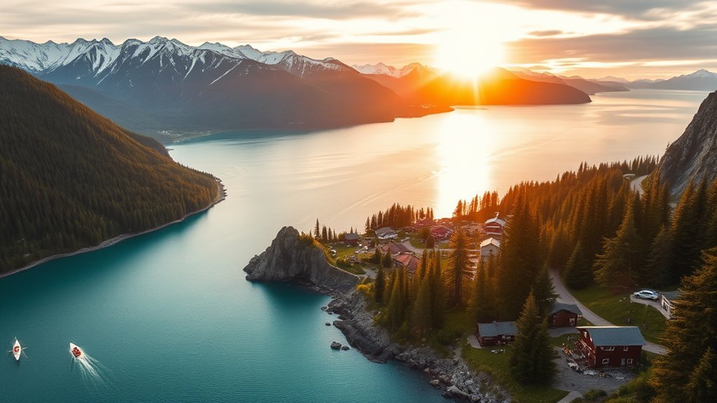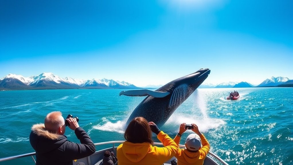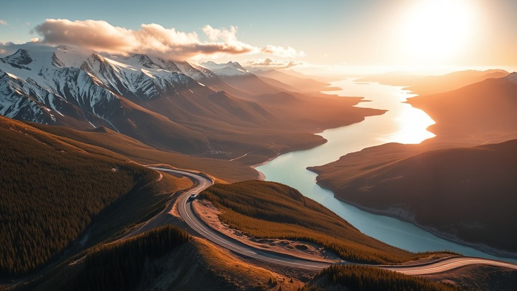
Alaska looks manageable on a map until you start measuring the miles. Long distances, mountain passes, wildlife, construction, ferry connections, limited services, and tempting scenic stops can turn a short-looking route into most of a day. Planning your Alaska road trip around realistic drive times, rather than mileage alone, gives you more time to enjoy the scenery without rushing.
Quick Answer
Alaska road trips require more time than mileage alone suggests. Anchorage to Seward is 127 miles, Anchorage to Denali is about 240 miles, and Fairbanks to Denali is about 120 miles. Build in time for fuel, scenic stops, construction, wildlife, weather, ferries, and current access restrictions such as those on the Denali Park Road.
Key Takeaways
- The Seward Highway between Anchorage and Seward is 127 miles, but sightseeing stops can turn it into a half-day or full-day journey.
- Denali National Park is about 240 road miles from Anchorage and 120 miles from Fairbanks.
- Juneau is not connected to Alaska’s main road system, so trips involving Juneau may require a ferry or flight.
- Check Alaska 511 before every long driving day because weather, construction, incidents, and seasonal conditions can change plans.
- Confirm your rental agreement before using gravel or unpaved roads, since many rental companies restrict them.
Essential Tips for Planning Your Alaska Road Trip
Before you start driving, decide how many hours you are comfortable spending behind the wheel each day. A route that takes four hours without stops can easily require six hours when you add meals, fuel, viewpoints, wildlife sightings, construction, and short hikes.
For the widest choice of visitor services and generally easier driving conditions, May through September is the main road-trip season. Outside that period, snow, ice, limited daylight, and reduced services can make some trips much more demanding.
Download offline maps before leaving larger communities. Cell service can become limited or disappear on remote highways, so do not depend on a live connection for every fuel stop, lodging address, or navigation decision.
Plan fuel stops before leaving town and refill earlier than you would on a normal city drive. Some remote routes have long gaps between services, and business hours can vary.
Before each major driving day, check Alaska 511 for current road conditions, construction, incidents, and closures.
Warning: Never assume a remote Alaska highway is open or suitable simply because your navigation app creates a route. Weather, road work, seasonal maintenance, wildfire, flooding, landslides, or local restrictions can change access quickly.
Popular Routes to Consider
Alaska’s road system includes everything from fully paved intercity highways to gravel routes with very limited services. The official Travel Alaska highway guide is useful for understanding how the major routes connect.
- Seward Highway: Runs 127 miles from Anchorage to Seward along Turnagain Arm and through the Kenai Peninsula. It is one of the easiest scenic highways to include in a first Alaska road trip.
- Parks Highway: Connects Anchorage and Fairbanks and provides the main highway access to the entrance of Denali National Park.
- Richardson Highway: Runs between Valdez and Delta Junction, with mountain, glacier, river, and Trans-Alaska Pipeline scenery along the way.
- Glenn Highway and Tok Cutoff: Provide a road connection between Anchorage and Tok, linking Southcentral Alaska with the Alaska Highway.
- Glacier Highway: A local Juneau-area road. It can be part of your sightseeing once you are in Juneau, but it does not provide a road connection from mainland Alaska into the city.
- Denali Park Road: The road through Denali National Park. It has special private-vehicle and bus restrictions and should not be treated like a normal through-highway.
- Hatcher Pass: A scenic mountain side trip north of Anchorage. Road surfaces and seasonal access vary by section, so current conditions matter.
The best Alaska road trip is usually not the one with the most miles. It is the one that leaves enough time for viewpoints, short hikes, wildlife delays, weather changes, and unplanned stops.
Anchorage to Seward: 127 Miles on the Scenic Seward Highway
The drive from Anchorage to Seward follows the Seward Highway for 127 miles. Without long stops, you can usually plan on roughly 2.5 to 3 hours, but treating it as a simple transfer misses much of what makes the route special. A half-day is more comfortable if you want several viewpoints, while a full day allows time for longer stops.
Route Highlights and Attractions
Leaving Anchorage, the highway soon follows Turnagain Arm between steep mountains and tidal water. Several established pullouts provide safer places to enjoy the scenery than stopping along the travel lane.
- Turnagain Arm: Watch the shoreline and mountains, with a chance of seeing beluga whales or Dall sheep depending on conditions and season.
- Beluga Point and Bird Point: Popular highway viewpoints where you can stop away from moving traffic.
- Girdwood: A mountain community with restaurants, trails, and convenient opportunities to break up the drive.
- Portage Valley: A worthwhile side trip for glacier-related scenery, lakes, trails, and visitor facilities.
- Alaska Wildlife Conservation Center: Near the Portage area and convenient to the highway for travelers interested in Alaska wildlife.
- Seward: A harbor town and gateway for exploring the Kenai Fjords area.
Travel Tips and Insights
Use established pullouts instead of stopping on the shoulder for photographs. Traffic can bunch up during the summer, and rain, fog, wind, road work, or wildlife can slow the trip.
If Seward is your destination rather than a same-day turnaround, leave enough time after arrival to explore the waterfront or plan activities for the following day. Trying to drive from Anchorage, make every scenic stop, complete a long excursion, and return in one day can make the schedule unnecessarily rushed.
Pro Tip: When planning scenic Alaska highways, add at least 25% to your basic navigation-app driving time. Add even more if you want hikes, wildlife stops, meals, or photography.
Fairbanks to Denali National Park: About 120 Miles
Denali National Park’s entrance is about 120 road miles south of Fairbanks on the Parks Highway. The nonstop drive is roughly two hours in favorable conditions, but allowing extra time gives you room for fuel, food, viewpoints, or delays.
- Watch for mountain and river views as you travel south.
- Use established pullouts for photographs.
- Keep your speed reasonable around wildlife and changing road conditions.
- Arrive with enough time to understand how transportation inside the park works before committing to a bus or hiking plan.
Driving to the park entrance is only the first part of a Denali visit. During the summer season, private vehicles are generally limited to the first 15 miles of the Denali Park Road, as far as Savage River.
For summer 2026, the National Park Service current-conditions page states that the road remains closed at Mile 43 because of the Pretty Rocks landslide. Transit and tour buses travel no farther than the East Fork area at Mile 43.
Note: The Denali Park Road and the Denali Highway are different roads. The Park Road is inside Denali National Park. The Denali Highway is a separate remote route between Cantwell and Paxson.
The Alaska Highway: A 1,390-Mile International Road Trip
The Alaska Highway is one of North America’s classic long-distance drives. The route begins in Dawson Creek, British Columbia, and officially ends at Delta Junction, Alaska, about 1,390 miles later.
The highway passes through British Columbia, Yukon, and Alaska, so travelers driving to Alaska from the Lower 48 need to plan for international border crossings as well as fuel, lodging, weather, and vehicle requirements.
Do not treat the Alaska Highway as a single marathon driving leg. Breaking the route into manageable days gives you time to enjoy lakes, mountain scenery, wildlife, historic sites, and communities along the way.
Tok is a major Alaska crossroads for travelers continuing toward Fairbanks, Anchorage, or Canada. Delta Junction marks the official end of the Alaska Highway, while Fairbanks lies about another 100 miles northwest.
The official Alaska Highway distance is about 1,390 miles from Dawson Creek, British Columbia, to Delta Junction, Alaska, but sightseeing, overnight stops, construction, and weather determine how long the journey really takes.
Driving the Kenai Peninsula: Seward, Cooper Landing, and Homer
The Kenai Peninsula is one of Alaska’s easiest regions to explore by road because the Seward and Sterling Highways connect several major visitor destinations.
- Seward: A coastal community surrounded by mountains and a common base for marine and glacier excursions.
- Cooper Landing: Located near the Kenai River and Kenai Lake, with fishing, hiking, and river scenery.
- Soldotna and Kenai: Service hubs with fuel, lodging, food, and access to the central peninsula.
- Homer: Located near the end of the Sterling Highway, overlooking Kachemak Bay.
The scenery can tempt you to stop frequently, so avoid scheduling the peninsula as if every road segment were merely a transfer. Pullouts, meals, hikes, fishing stops, and summer traffic all add time.
Alaska Road Trip Distances and Realistic Drive Times
The table below is a planning guide, not a guarantee. Driving time changes with weather, traffic, construction, wildlife, road surface, fuel stops, and how often you stop for scenery.
| Route | Approx. Distance | Basic Planning Time | Important Note |
| Anchorage to Seward | 127 miles | About 2.5–3 hours nonstop | Allow a half or full day for scenic stops. |
| Anchorage to Denali National Park entrance | About 240 miles | About 4.5–5 hours | Stops in the Mat-Su Valley or Talkeetna can make it a full travel day. |
| Fairbanks to Denali National Park entrance | About 120 miles | About 2 hours | Park Road access rules apply after you reach Denali. |
| Fairbanks to Tok | About 200 miles | About 3.5–4 hours | Delta Junction is an important stop along the route. |
| Anchorage to Tok | About 328 miles | Plan most of a driving day | The route uses the Glenn Highway and Tok Cutoff. |
| Juneau to Skagway | No direct road connection | Ferry schedule dependent | Use the Alaska Marine Highway or fly rather than treating it as a normal driving leg. |
Roads, Ferries, and Destinations You Cannot Simply Drive To
One of the easiest mistakes in Alaska trip planning is assuming every well-known town or national park connects to the same highway network.
Juneau and Southeast Alaska
Juneau is not connected by road to Anchorage, Fairbanks, or the continental highway system. If your itinerary includes Juneau, transportation normally involves a flight or the Alaska Marine Highway System.
The state ferry system serves communities throughout Southeast Alaska, including Juneau, Haines, and Skagway. Always check the actual sailing schedule before building a hotel or driving itinerary around a ferry connection.
Haines and Skagway do have highways leading into Canada, which eventually connect with the broader North American road system. If your itinerary crosses Canada, check current border and vehicle-document requirements before departure.
Gates of the Arctic National Park
Gates of the Arctic National Park and Preserve has no roads or established trails entering the park. It should not be planned as a quick roadside national-park stop. Visiting usually requires a separate wilderness itinerary involving air access or serious backcountry travel.
Fuel, Cell Service, and Rental-Car Rules
Alaska’s main paved highways are straightforward in good conditions, but remote side roads need more preparation.
- Fuel: Refill before entering long remote stretches instead of waiting until the gauge is low.
- Navigation: Download maps and important addresses for offline use.
- Cell service: Expect weak or nonexistent coverage in some rural areas.
- Food and water: Keep basic supplies in the vehicle in case weather or mechanical problems delay you.
- Spare tire: Check that your spare, jack, and tire tools are usable before remote drives.
- Rental agreement: Confirm permitted roads before leaving pavement.
The official Travel Alaska driving guide notes that several remote routes are partly or largely unpaved and that many rental-car companies restrict driving on unpaved roads. Never assume that a rental SUV automatically gives you permission to use the Dalton Highway, McCarthy Road, Denali Highway, or another gravel route.
Factors Affecting Drive Times in Alaska
Even when your mileage estimate is accurate, the actual travel time can change considerably. Build flexibility into your schedule for:
- Road conditions: Rain, snow, ice, frost damage, gravel, potholes, or washouts can reduce safe speeds.
- Wildlife crossings: Moose and other wildlife can enter highways unexpectedly.
- Tourist traffic: Summer congestion can develop around popular communities, trailheads, construction zones, and viewpoints.
- Construction: Alaska has a short road-work season, so summer travelers can encounter flaggers, pilot cars, lane closures, and delays.
- Scenic stops: Viewpoints and short hikes add up quickly on routes such as the Seward Highway.
- Fuel and food: Remote services may be farther apart than you are used to.
- Ferries: A ferry leg must be planned around a sailing schedule, check-in requirements, and possible weather changes.
Warning: Wildlife is a serious driving hazard. Moose can be difficult to see, especially in low light. Slow down when visibility is poor, scan both shoulders, and never stop in a traffic lane to photograph animals.
Must-See Attractions Along the Way
Alaska’s highways give you access to glaciers, mountain valleys, coastal communities, wildlife areas, historic sites, and several national parks. The important part is matching each attraction to the correct transportation method.
Iconic National Parks
- Denali National Park and Preserve: Easily reached from the Parks Highway, but travel inside the park follows special vehicle and bus rules.
- Kenai Fjords National Park: Seward is the main gateway for exploring the park’s coastal environment and glacier scenery.
- Gates of the Arctic National Park and Preserve: A true wilderness destination with no road access. Plan it as a separate backcountry or fly-in trip, not an ordinary highway stop.
- Wrangell-St. Elias National Park and Preserve: The Richardson Highway provides access to the broader park region, while more remote areas require additional planning and may involve gravel roads.
Scenic Viewpoint Stops
Turnagain Arm is one of the easiest scenic areas to enjoy directly from a major highway. Beluga Point, Bird Point, and other established pullouts provide places to stop without blocking traffic.
Farther north, the Parks Highway offers mountain and river scenery on the way toward Denali and Fairbanks. The Richardson Highway adds views of mountain passes, glaciers, rivers, and the Alaska Range.
Use official viewpoints and pullouts whenever possible. A beautiful photograph is not worth stopping on a blind curve or narrow shoulder.
Unique Local Attractions
- Mendenhall Glacier: A major Juneau attraction that can be reached through Juneau’s local road network after you arrive in the city.
- Alaska SeaLife Center: A popular Seward stop focused on Alaska’s marine environment, research, rehabilitation, and education.
- Talkeetna: A popular Parks Highway side trip with local food, shops, outdoor activities, and mountain scenery.
- Iditarod headquarters area: A convenient stop in the Mat-Su Valley for travelers interested in Alaska’s sled-dog history.
Frequently Asked Questions
What is the best time of year for an Alaska road trip?
May through September generally offers the easiest combination of driving conditions, long daylight hours, visitor services, tours, and open attractions. June through August is the busiest period. Spring, fall, and winter road trips are possible, but snow, ice, limited services, and seasonal road maintenance require more preparation.
Are there road closures to be aware of in Alaska?
Yes. Construction, weather, flooding, wildfire, landslides, snow, and seasonal maintenance can all affect roads. Check Alaska 511 immediately before long driving days. Denali National Park also maintains separate current-condition information for the Denali Park Road.
How can I find gas stations along my route?
Plan fuel stops before leaving larger communities and save them in your offline map. Navigation apps can help while you have service, but remote Alaska is not the place to depend entirely on a live cellular connection. Refill earlier than normal when entering a long rural stretch.
Is camping allowed along Alaska highways?
Camping rules depend on the land, campground, rest area, pullout, and posted restrictions. Do not assume every roadside pullout is an unrestricted campsite. Designated public or private campgrounds are the simplest option, and posted parking or camping limits at roadside facilities should always be followed.
What wildlife should I be cautious of while driving?
Moose are one of the biggest concerns because their size makes collisions especially dangerous and they can enter the road unexpectedly. Bears, caribou, and other animals may also be near highways. Reduce speed in poor visibility and around dawn or dusk, scan the shoulders, and give animals plenty of space.
Can I drive directly to Juneau?
No. Juneau is not connected to Alaska’s main highway network. Most visitors arrive by air, cruise ship, or Alaska Marine Highway ferry. Once you arrive, Juneau has its own local road system for attractions such as the Mendenhall Glacier area.
Can I drive my own car the full length of the Denali Park Road?
Generally, no. During the summer visitor season, most private vehicles are limited to the first 15 miles, ending near Savage River. In summer 2026, transit and tour buses are also limited by the continuing road closure near Mile 43. Always check the National Park Service’s current conditions before your visit.
Sources
- Alaska 511 — current statewide road conditions, incidents, construction, and traveler information.
- Travel Alaska: An Intro to Alaska’s Highways — official highway routes, distances, road characteristics, and destinations.
- Travel Alaska: Getting To & Around Alaska by Car — driving seasons, unpaved roads, rental-car restrictions, and road-trip planning.
- National Park Service: Denali Current Conditions — current Denali Park Road access and 2026 Mile 43 closure information.
- Alaska Marine Highway System Route Guide — Southeast Alaska ferry routes and community connections.
- National Park Service: Gates of the Arctic National Park and Preserve — official road-access and wilderness information.