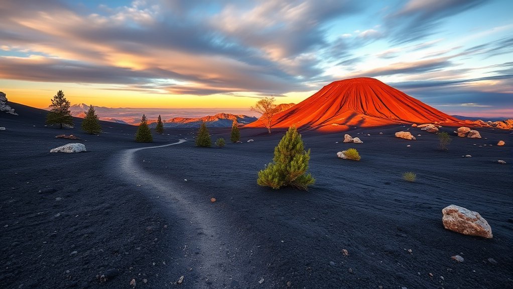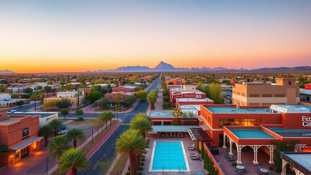
An Arizona road trip can take you from the Sonoran Desert around Phoenix to Sedona’s red-rock country, the immense Grand Canyon, Navajo Nation landscapes at Monument Valley and Antelope Canyon, and the blue water and sandstone cliffs around Page and Lake Powell. The scenery changes quickly, but so do temperatures, elevations, road conditions, and access rules. A little planning makes this route far easier and safer.
Quick Answer
A practical first-time Arizona road trip starts in Phoenix, continues to Sedona, the Grand Canyon South Rim, Monument Valley, and Page for Antelope Canyon and Lake Powell, then returns to Phoenix. Allow at least seven days, reserve Antelope Canyon ahead, and plan carefully for desert heat, monsoon storms, high elevations, and changing park conditions.
Key Takeaways
- Seven days is enough for the major stops, but eight to ten days gives you more time for hiking and slower mornings.
- Antelope Canyon requires an authorized guided tour, so book it before building the rest of your Page itinerary.
- The Grand Canyon’s rim walks and inner-canyon trails are very different. Do not treat a rim-to-river hike as a casual day trip.
- Summer heat, monsoon storms, flash flooding, winter snow, and high elevation can affect different parts of the route at the same time.
- Check official road, park, tribal-park, trail, and Lake Powell conditions shortly before each driving day.
At a Glance
| Time Required | 7 days for the highlights; 8 to 10 days for a more relaxed trip |
| Difficulty | Moderate because of long drives, heat, elevation, and early starts |
| Tools Needed | Reliable vehicle, offline maps, water, sun protection, sturdy footwear, and confirmed reservations |
| Cost | Varies widely with lodging, fuel, park and tribal-park fees, food, and guided tours |
Planning Your Road Trip: Essential Tips
Plan the route before reserving hotels because Arizona’s most famous destinations are spread across several environments. Phoenix is low desert, while Sedona and the Grand Canyon are much higher. Page and Monument Valley are also exposed to strong sun, wind, and rapid weather changes.
Suggested 7-Day Arizona Road Trip
| Day | Main Stop | Plan |
|---|---|---|
| 1 | Phoenix | Arrive, explore the city, visit the Desert Botanical Garden, and hike only if temperatures and trail conditions are safe. |
| 2 | Sedona | Drive north, explore the red rocks, and use the Sedona Shuttle where appropriate. |
| 3 | Sedona | Take an early hike, enjoy scenic drives, and leave time for a relaxed afternoon. |
| 4 | Grand Canyon South Rim | Visit rim viewpoints, walk part of the Rim Trail, and use the park shuttle where available. |
| 5 | Monument Valley | Travel through northern Arizona and Navajo Nation, then explore Monument Valley according to current tribal-park rules. |
| 6 | Page | Take your reserved Antelope Canyon tour and visit Horseshoe Bend during a cooler part of the day. |
| 7 | Lake Powell / Return | Enjoy Lake Powell in the morning if your schedule allows, then begin the return drive. Add another night if you want a less rushed finish. |
Best Time for an Arizona Road Trip
Spring and fall usually offer the easiest balance of temperatures for a multi-stop trip, but no single season is perfect everywhere. Phoenix can be dangerously hot in summer, while the Grand Canyon’s higher elevations can experience snow, ice, and freezing temperatures in winter. Summer monsoon storms can also create flash-flood and dust-storm hazards.
Warning: Do not drive into flooded roads or dense dust storms. Before each driving day, check Arizona Department of Transportation road conditions and AZ 511. Weather in Phoenix, northern Arizona, and canyon country can be very different on the same day.
What to Book Before You Go
- Antelope Canyon: Reserve an authorized guided tour. Independent entry is not permitted.
- Grand Canyon: Reserve lodging or camping early, especially during popular travel periods.
- Monument Valley: Review current Navajo Nation Parks hours, fees, road restrictions, and tour options before arrival.
- Lake Powell: Reserve boat tours or rentals in advance when they are central to your itinerary.
- Sedona: Check trailhead shuttle schedules and parking rules before choosing a trail.
Pro Tip: Download offline maps before leaving Phoenix or another major town. Mobile service can be inconsistent on remote highways, inside canyons, and across sparsely populated areas.
Starting Point: Phoenix
Phoenix gives you an easy introduction to Arizona’s Sonoran Desert before the route climbs into cooler and higher terrain. Downtown offers restaurants, museums, cafés, and galleries, while the Desert Botanical Garden is a convenient place to learn about desert plants without committing to a difficult hike.
Camelback Mountain is one of the city’s best-known hikes, but both heat and temporary closures can affect access. The City of Phoenix restricts certain trails during Extreme Heat Warnings, and construction closures are occasionally scheduled. Check the official Camelback Mountain status page before heading to Echo Canyon or Cholla Trail.
Note: As of August 16, 2026, Phoenix lists temporary construction closures for Cholla Trail from August 17 through August 28 and Echo Canyon Trail from September 2 through September 18. The city’s current trail page should be treated as the source of truth if you travel near those dates.
If temperatures are high, skip the strenuous hike and save your energy for cooler destinations farther north. Arizona’s scenery is still impressive from botanical gardens, scenic drives, and easier urban viewpoints.
Exploring Sedona’s Red Rocks
North of Phoenix, Sedona’s red sandstone formations create one of the most recognizable landscapes in Arizona. Cathedral Rock and Bell Rock are popular hiking areas, but short mileage does not always mean an easy walk. Steep slickrock, exposed sun, limited shade, and crowded trailheads can make even short hikes demanding.
For popular trailheads, check the Sedona Shuttle. The city’s trailhead routes provide free transportation to several busy hiking areas, and parking at some trailheads can be restricted while shuttle service is operating.
Sedona is also famous for places commonly described as “vortex” sites. Many visitors associate these areas with meditation, reflection, or spiritual experiences. Those beliefs are part of Sedona’s tourism culture, but claims about measurable special energy should be understood as spiritual or personal rather than established scientific fact.
After hiking, slow the pace. Sedona’s cafés, galleries, scenic overlooks, and red-rock drives make it easy to enjoy the landscape without spending the entire day on a trail.
Discovering the Grand Canyon
The Grand Canyon deserves more than a quick photo stop. For this route, the South Rim is the easiest choice because it is open year-round and connects naturally with Sedona, Monument Valley, and Page. Give yourself time to visit several viewpoints, walk part of the rim, and watch the changing light across the canyon.
Grand Canyon Overview
The Grand Canyon extends approximately 277 river miles. Its width and depth vary, reaching about 18 miles across at its widest and roughly 6,000 vertical feet at its deepest. The exposed rocks preserve an extraordinary record of geologic time.
| Feature | Verified Overview | What It Means for Visitors |
|---|---|---|
| Length | Approximately 277 river miles | You see only a small portion from any single viewpoint. |
| Depth | Up to about 6,000 vertical feet | Temperatures and conditions can change dramatically below the rim. |
| Width | Up to about 18 miles | The North and South Rims are not a short drive apart. |
| Rim Trail | Approximately 13 miles, with paved and unpaved sections | You can walk only the section that fits your time and ability. |
| Wildlife | Includes elk, deer, birds, reptiles, and many other species | Observe wildlife from a safe distance and never feed animals. |
Best Viewing Points
Several South Rim viewpoints give you different perspectives without requiring a strenuous hike:
- Mather Point: A convenient first view near the main visitor center.
- Yavapai Point and Geology Museum: Good for broad canyon views and understanding the geology.
- Hopi Point: A popular sunset area along Hermit Road.
- Desert View: Offers wide views of the canyon and Colorado River near the park’s East Entrance, along with the historic Desert View Watchtower.
Grand Canyon’s free shuttle system serves several major South Rim areas during its operating seasons. Check the current NPS shuttle schedule rather than assuming every viewpoint is reachable by private car.
Hiking Trails Options
Grand Canyon hiking requires more context than a simple mileage-and-difficulty label. Trails below the rim descend first, which means the hardest climbing usually comes on the return.
| Trail | Distance Context | Difficulty / Use |
|---|---|---|
| Bright Angel Trail | About 7.8 miles one-way from South Rim to the Colorado River; shorter day hikes include the 3-mile round-trip to the 1½-Mile Resthouse. | Steep and strenuous below the rim. Choose your turnaround based on fitness, weather, and water availability. |
| South Kaibab Trail | About 6.3 miles one-way to the Colorado River. Ooh Aah Point is about 1.8 miles round-trip; Skeleton Point is about 6 miles round-trip. | Steep, exposed, and without water along the trail. Short turnarounds are better for most road-trip visitors. |
| Rim Trail | Approximately 13 miles in total, but you can walk short sections between viewpoints and shuttle stops. | The easiest major walking option at the South Rim, though some sections are unpaved and close to the edge. |
| North Kaibab Trail | About 14.2 miles one-way from the North Rim to the Colorado River. | A major inner-canyon trail, not an appropriate casual day hike to the river and back. |
Warning: The National Park Service warns visitors not to hike from the rim to the river and back in one day, especially during hot months. Inner-canyon temperatures can exceed 100°F, shade is limited, and the climb back to the rim is demanding. Review current NPS day-hiking guidance before descending below the rim.
2026 North Rim Note: The North Rim reopened for the 2026 season following the Dragon Bravo Fire, but recovery work and trail restrictions can still affect travel. Traditional rim-to-rim hiking is also scheduled to become unavailable in mid-October 2026 because of Transcanyon Waterline work. Check NPS status immediately before planning a North Rim or rim-to-rim trip.
Journey Through Monument Valley
Monument Valley Navajo Tribal Park is one of the defining landscapes of the American Southwest, with formations such as the Mittens and Merrick Butte rising above broad desert terrain. This is Navajo Nation land, so treat it as both a spectacular landscape and a living cultural place rather than simply a roadside photo stop.
- View the famous sandstone buttes from designated areas.
- Consider a Navajo-guided tour for local history, cultural context, and access beyond the standard public route.
- Plan sunrise or late-afternoon photography around official park hours.
- Stay on authorized roads and trails and follow all current Navajo Nation Parks rules.
The well-known Valley Drive is a roughly 17-mile unpaved loop with rough sections and deep sand. Conditions and vehicle restrictions can change, so review the official Monument Valley Navajo Tribal Park information before deciding to self-drive. A guided tour can be the better choice when road conditions, vehicle clearance, or local rules make self-driving uncertain.
Pro Tip: Federal national-park passes do not replace Navajo Tribal Park admission or guided-tour charges. Budget separately for tribal-park access and tours.
Visiting Antelope Canyon
Antelope Canyon near Page is famous for narrow sandstone passageways, sculpted walls, and beams of reflected light. Unlike an ordinary public hiking trail, however, Antelope Canyon is part of Navajo Nation land and independent entry is not permitted.
You must visit with an authorized guided tour. Navajo Nation Parks lists approved operators for Antelope Canyon, and tour costs are separate from applicable tribal-park entry charges. Review the official Antelope Canyon tour-operator list before booking.
Reserve early during busy travel periods and arrive at the time and location specified by your tour operator. Photography rules, bag restrictions, tour duration, and check-in procedures can vary by operator and canyon section.
Warning: Slot canyons can flood rapidly from storms occurring miles away. Never enter an unauthorized slot canyon because the sky directly overhead looks clear. Follow your guide’s weather and safety decisions.
Relaxing in Page and Lake Powell
Page is a useful base for Antelope Canyon, Horseshoe Bend, Lake Powell, Glen Canyon, and nearby desert scenery. It also gives you a chance to slow down after several days of driving and hiking.
Visit Horseshoe Bend
Horseshoe Bend is one of the easiest major Page-area landmarks to add to the route. The National Park Service describes the walk to the overlook as about 1.5 miles round-trip. Shade is limited, much of the rim remains exposed, and there is no water along the trail, so avoid the hottest part of the day when temperatures are high.
The overlook lies within Glen Canyon National Recreation Area, but the parking lot is operated by the City of Page. National Park Service passes do not cover the city parking charge. See the NPS Horseshoe Bend guidance before visiting.
Scenic Boat Tours
Lake Powell boat tours offer a completely different view of canyon country. From the water, sandstone walls, side canyons, coves, and open lake scenery replace the highway views you have experienced for most of the trip.
- Choose a scheduled sightseeing tour if you do not want to operate a boat.
- Consider a kayak only when weather, water conditions, distance, and your experience are appropriate.
- Keep sun protection and drinking water available even when you are on the lake.
- Confirm the departure marina and current access conditions before leaving your hotel.
Boat trips toward Rainbow Bridge are possible from Lake Powell, but shoreline and docking conditions can change as water levels fluctuate. Do not assume an older description of dock access still applies.
2026 Lake Powell Note: The National Park Service expects lower Lake Powell water levels in 2026 and warns that changing conditions can affect ramps, shoreline access, and on-lake facilities. Lake access is expected to continue, but visitors should check current Glen Canyon conditions before boating.
Hidden Canyons Exploration
The Page area contains many narrow canyons and sandstone passages, but access varies by land ownership, weather, permit rules, and tour requirements. Antelope Canyon itself must be visited with an authorized guide. For other slot-canyon experiences, use legal access routes and reputable operators rather than entering an unfamiliar wash or canyon on your own.
This is especially important during monsoon season. A storm upstream can send water through a dry canyon even when your immediate location appears sunny.
Relaxing Lakeside Activities
If conditions are suitable, Lake Powell gives you several lower-key ways to finish the trip:
- Kayaking: Paddle sheltered water only when wind, weather, access, and your skill level make it safe.
- Picnicking: Choose a legal developed or shoreline recreation area and pack out all trash.
- Stargazing: Clear desert nights can offer excellent viewing away from bright city lights.
- Reading and relaxing: A quiet morning near the water can be a welcome break after days of hiking and driving.
Always check current shoreline, ramp, weather, and water advisories before choosing a lakeside location.
Frequently Asked Questions
What is the best time of year for an Arizona road trip?
Spring and fall generally give you the most comfortable balance for this route. Summer can bring dangerous desert heat and monsoon storms, while winter can bring snow and ice to higher elevations such as the Grand Canyon. Check forecasts for each destination rather than relying on one statewide forecast.
Are there any wildlife safety tips for desert areas?
Watch where you step and place your hands, especially around rocks and brush. Never approach, feed, or corner wildlife. At Grand Canyon viewpoints and developed areas, give larger animals such as elk plenty of room. Keep food secured and follow park-specific wildlife guidance.
What should I pack for a desert road trip?
Carry more drinking water than you expect to need, sunscreen, a brimmed hat, layers for changing elevations, sturdy footwear, snacks, a first-aid kit, charging cables, an emergency battery, and downloaded offline maps. In cooler seasons, add warm clothing because the Grand Canyon can be far colder than Phoenix.
Are there any local foods I should try during the trip?
Arizona offers Sonoran hot dogs, prickly-pear foods and drinks, Southwestern dishes, and Navajo foods such as frybread and Navajo tacos. When traveling through Navajo Nation, consider supporting locally owned restaurants and vendors where available.
How can I stay connected in remote areas?
Do not assume continuous mobile coverage. Download maps, reservation details, and important addresses before leaving larger towns. Keep your phone charged, carry a power bank, tell someone your route if you are entering remote areas, and consider a satellite communication device for serious backcountry travel.
How many days do I need for this Arizona road trip?
Seven days is a workable minimum for Phoenix, Sedona, Grand Canyon South Rim, Monument Valley, Antelope Canyon, Page, and Lake Powell. Eight to ten days is better if you want longer hikes, slower mornings, or extra time around Sedona and Page.
Do I need a reservation for Antelope Canyon?
Yes. Antelope Canyon locations require an authorized guided tour. Reserve with an approved operator and follow that operator’s check-in, photography, bag, and arrival instructions.
Can I drive through Monument Valley without a tour?
Self-driving may be possible on the designated Valley Drive when current park rules and road conditions allow it. The loop is unpaved and can include rough terrain and deep sand. Review Navajo Nation Parks restrictions before arrival and choose a guided tour if your vehicle or the conditions are unsuitable.
Conclusion
An Arizona road trip can fit an extraordinary range of landscapes into a single route, from Phoenix’s Sonoran Desert and Sedona’s red rocks to the Grand Canyon, Monument Valley, Antelope Canyon, Page, and Lake Powell. The best trip is not the one that squeezes in the most stops. It is the one that leaves enough time for changing weather, safe hiking, tribal-park rules, reservations, and unplanned pauses at the places that catch your attention.
Build the route around confirmed bookings, check official conditions before each major stop, carry plenty of water, and give yourself permission to shorten a hike or change a plan when heat, storms, road conditions, or fatigue say otherwise. Arizona’s landscapes will still be there, and they are far more enjoyable when you explore them safely.
Sources
- Arizona Department of Transportation — statewide road conditions, closures, AZ 511, and severe-weather driving guidance.
- Sedona Shuttle — current public trailhead shuttle routes, schedules, and parking access information.
- Grand Canyon National Park: Day Hiking — official trail safety, day-hike guidance, and current hiking considerations.
- Navajo Nation Parks: Monument Valley — current tribal-park hours, access rules, Valley Drive information, and tour guidance.
- Navajo Nation Parks: Antelope Canyon Tour Operators — mandatory guided-tour requirements and approved operator information.
- Glen Canyon National Recreation Area: Current Conditions — Lake Powell water levels, facility status, access, and visitor advisories.