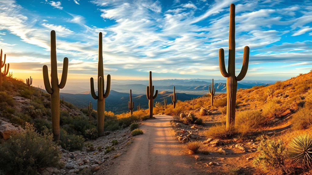
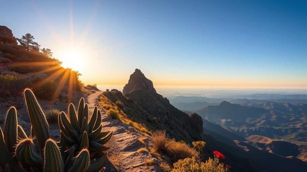
Hikers often describe Tucson’s saguaros as otherworldly—especially when the light hits them at sunrise or sunset. The good news: you can find short petroglyph walks, riparian trails with seasonal pools, and high-country pine hikes within about an hour of town. Below are reliable picks for views, shade, and family comfort, plus safety tips and when to go.
Key takeaways
- Best quick “wow”: Signal Hill petroglyphs in Saguaro National Park West.
- Best water hike: Seven Falls in Sabino Canyon (best after rain or during spring flow).
- Coolest summer escape: Aspen & Marshall Gulch loops on Mount Lemmon.
- Know the rules: pet and fee policies vary a lot by park.
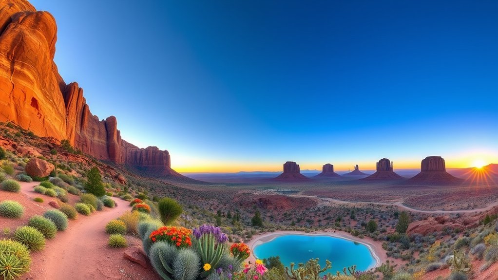
Saguaro National Park West: Signal Hill Loop and Desert Trails
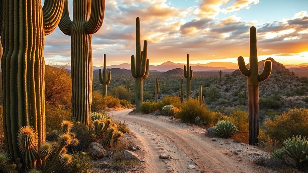
Start at the Red Hills Visitor Center in Saguaro National Park’s Tucson Mountain District (West), then drive the scenic loop to the Signal Hill Picnic Area for one of the park’s best short walks. The Signal Hill area features more than 200 petroglyphs created over centuries; interpretive signs help you understand what you’re seeing. Look, photograph, and admire—don’t touch or trace the rock art.
Nearby trails range from flat wash walks to gentle climbs with wide views across the Tucson basin. Bring sun protection and plenty of water; in hot conditions, desert parks commonly advise drinking about 1 quart (roughly 1 liter) per hour. Start early to avoid midday heat and to catch cooler light for photos. You’ll find parking and restrooms at the visitor center and at major pullouts.
On the east side of town: Saguaro also has an East (Rincon Mountain) District with easy, scenic hikes through the Cactus Forest. It’s a great alternative if you want similar saguaro scenery with different viewpoints.
Sabino Canyon: Seven Falls and Lower Sabino Canyon
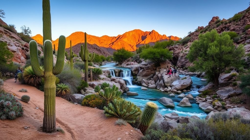
Choose Sabino Canyon when you want a mix of shade, creek crossings, and classic desert canyon scenery. The popular Seven Falls route is rugged and includes multiple stream crossings; flow changes with the season and recent storms, and the falls can be modest or dry during parts of the year.
Sabino Canyon also has a shuttle system and paved options in the lower canyon, so you can tailor your day to the heat and your group’s comfort. In summer, watch for lightning and flash-flood risk during monsoon storms.
Seven Falls Route
The Seven Falls hike follows a section of Bear Canyon Trail #29. It’s a longer out-and-back from the visitor center, with multiple creek crossings. A shuttle/tram stop at the Bear Canyon trailhead can shorten the hike if you want to save energy for the waterfall section. Expect rocky tread, boulder hops, and slick rock near water. Choose stable shoes, take your time on crossings, and avoid narrow drainages if storms are possible.
Lower Canyon Access
If you want a gentler option, use the lower canyon walkway or road for an easier out-and-back with frequent viewpoints. These routes have simpler footing than the waterfall trail, and they’re easy to shorten if temperatures rise.
Mount Lemmon: Aspen Loop and Marshall Gulch Trails
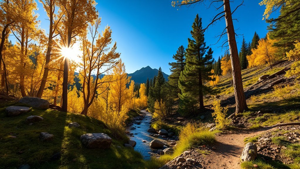
On Mount Lemmon, you can trade cactus for pines and cooler temperatures in under two hours of driving. The Aspen Trail #93 and Marshall Gulch Trail #3 are favorites for shady forest, ferns, and occasional seasonal water. The most common loop (Aspen + Marshall Gulch) is typically about 3–4 miles, depending on the exact junctions you choose.
Pack layers (it can be much colder than Tucson), and plan around winter road conditions and summer thunderstorms. If rock is wet, slow down—granite and packed dirt can get slick.
| Trail | Typical distance | Highlights |
|---|---|---|
| Aspen + Marshall Gulch loop | ~3–4 miles | Aspens, ferns, forest shade |
| Short Marshall Gulch option | ~2–3 miles | Creekside gulch, easy navigation |
| Longer add-ons | Varies | Wilderness of Rocks scenery |
These trails suit day hikers who want crisp air, quick elevation, and a clear taste of Mount Lemmon’s “sky island” feel.
Catalina State Park: Romero Pools and Romero Canyon
Romero Canyon Trail is Catalina State Park’s classic hike for seasonal pools, canyon walls, and big Catalina views. Romero Pools are a popular turnaround, but this is not a short loop—plan on at least 5.6 miles round trip from the main trailhead, with about 1,000 feet of elevation gain on rocky, uneven terrain.
Important: dogs and bicycles are not allowed in the Bighorn Sheep Management Area/Pusch Ridge Wilderness, which begins at the Forest Service gate about 1 mile up the trail and includes Romero Pools. Start early, carry extra water, and expect the return to feel hotter and more exposed.
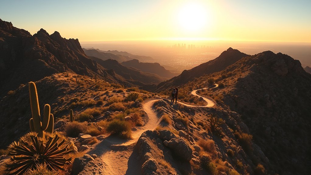
Tumamoc Hill: Short, Steep Urban Hike
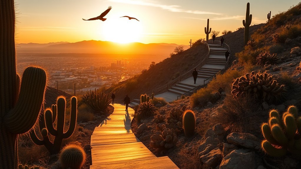
Tumamoc Hill is Tucson’s go-to quick workout: a paved road that’s about 3 miles round trip (roughly 1.5 miles up) and climbs about 700 feet. There’s no loop—everyone goes up and down the same road—so keep right and pass carefully.
- Plan: go early, bring water, and use sun protection (the pavement reflects heat).
- Pace: take short steps on steeper stretches and recover on gentler grades.
- Respect rules: Tumamoc is a research site—stay on the road and follow posted access hours.
King Canyon Trail: Half-Day Desert Hike
The King Canyon Trailhead is a popular starting point for reaching Wasson Peak or building a loop by linking King Canyon Wash, Gould Mine, and Sendero Esperanza. As an out-and-back, King Canyon is about 3.5 miles one-way to Wasson Peak.
Expect rocky tread, exposed sections, and great saguaros. Carry more water than you think you’ll need, and add a map or offline GPS—there are many junctions.
Wasson Peak via Sendero Esperanza: Tucson Mountain Summit
Sendero Esperanza is a scenic way to approach the Wasson Peak area when linked with other trails in Saguaro National Park West. The Sendero Esperanza segment itself is about 3.1 miles one-way and connects to routes like Gould Mine and Hugh Norris for longer summit days.
Trails are rocky and exposed. Bring sun protection and plenty of water, start early in warm months, and turn back if extreme heat or thunderstorms build.
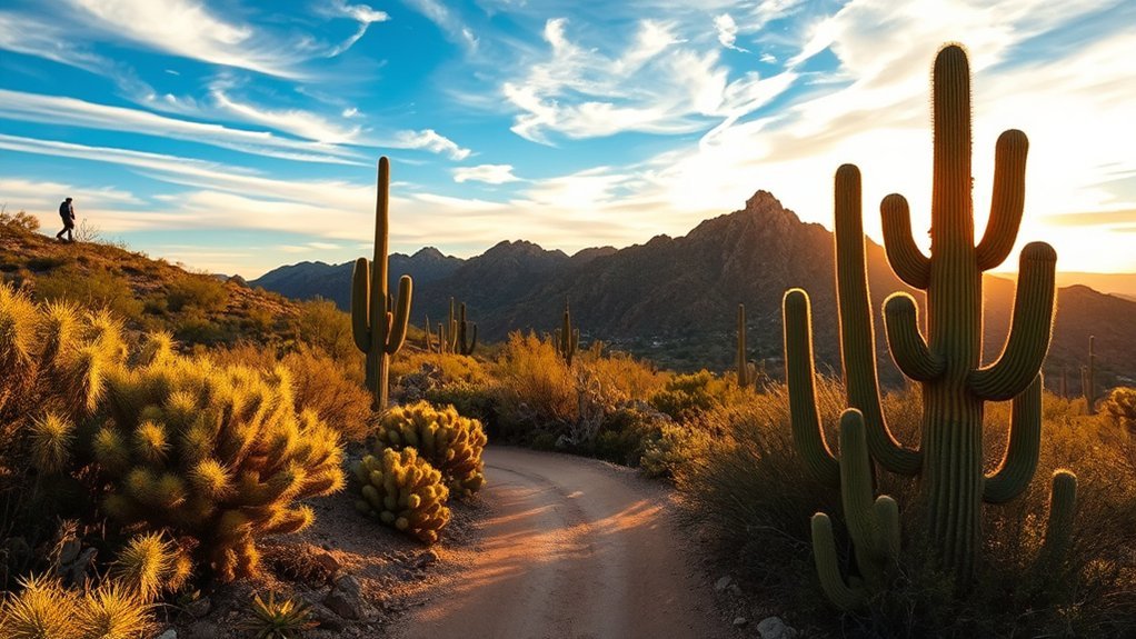
Brown Mountain Trail: Scenic Loop in Saguaro National Park West
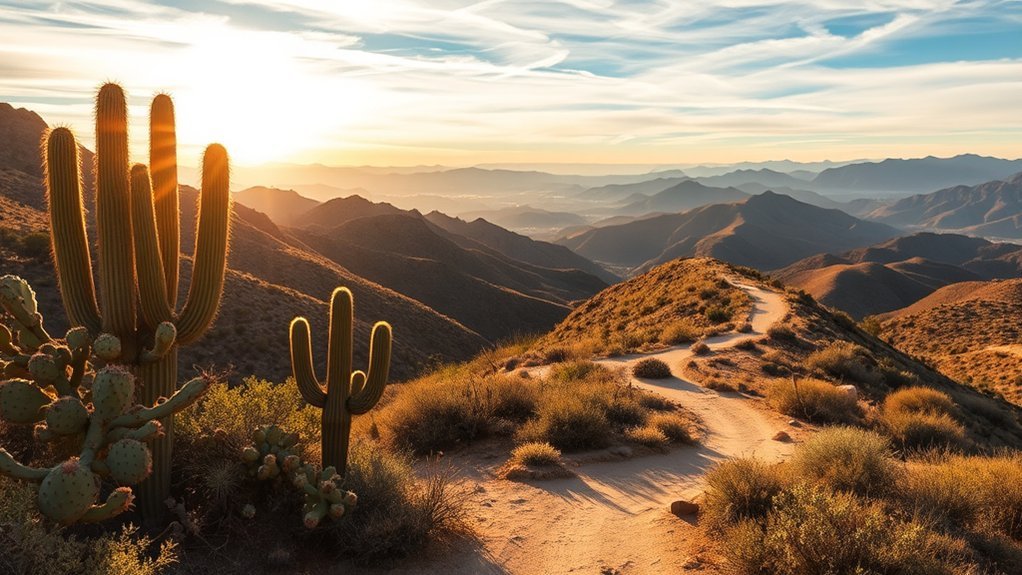
For a moderate loop with classic Tucson Mountain District scenery, the Brown Mountain area offers rolling desert terrain, wide views, and fewer crowds than the busiest picnic areas. Footing is mostly packed dirt with some loose rock, so good traction helps—especially after rain.
Plan for sun exposure, carry water, and time this hike for morning or late afternoon in warmer months.
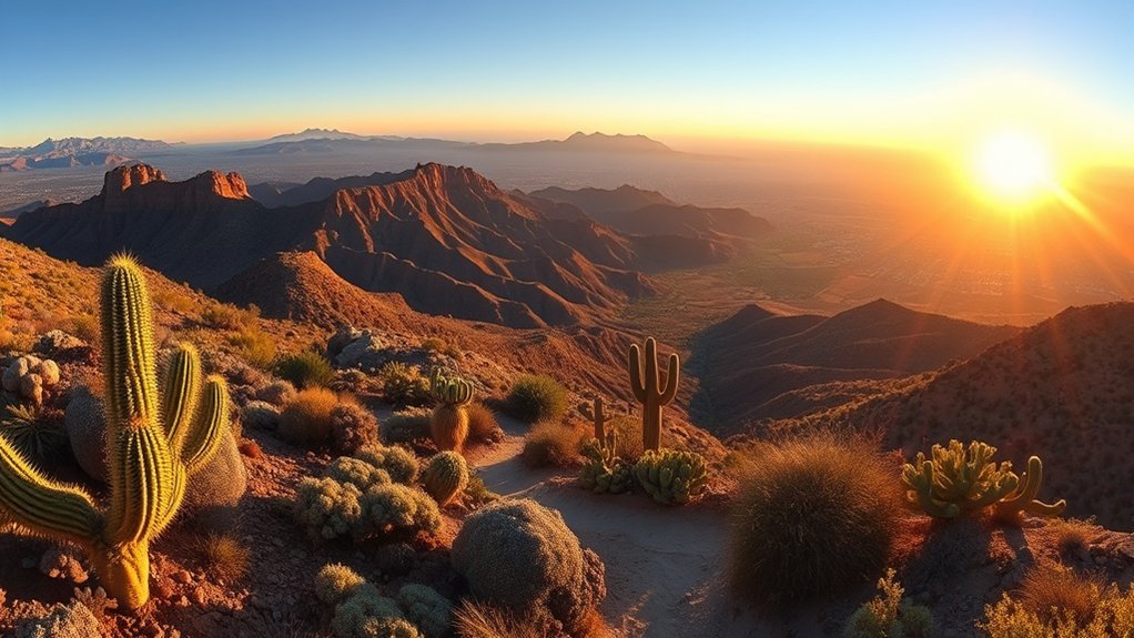
Mount Wrightson via Old Baldy Trail
If you’re ready for a full-day challenge, Mount Wrightson (9,453 ft) via the Old Baldy Trail is one of Southern Arizona’s signature climbs. The Forest Service describes Old Baldy as the shortest and steepest main route to the summit. Many hikers allow a full day for the out-and-back (often around 10–11 miles round trip, depending on start point and route).
Arrive early for trailhead parking. Carry layers, a headlamp, and extra water and food—temperatures and wind can change quickly near the summit. In monsoon season, plan to be off exposed ridges before afternoon storms.
Sweetwater Preserve and Honeybee Canyon: Family-Friendly Trails
Sweetwater Preserve is a flexible trail system with short loops and gentle grades that work well for beginners and families. Trails are well-marked, and leashed dogs are allowed. Honeybee Canyon is another popular, low-commitment option on the north side of town with wide-open desert views.
Bring water, sun protection, and closed-toe shoes. Teach kids to give wildlife space and watch where they place hands and feet around rocks.
More Tucson hikes to consider
Many “best hikes near Tucson” roundups also highlight trails like Tanque Verde Falls, Bridal Wreath Falls, Pima Canyon, Ventana Canyon, and Finger Rock. If you’re looking for more variety, these are good next picks—just check current access, water flow, and weather before you go.
Frequently Asked Questions
When is monsoon season, and how does it affect these hikes?
In Arizona, the National Weather Service defines monsoon season as June 15 through September 30. Storms can bring lightning and fast-moving runoff—avoid hiking in washes when storms are in the area, and turn back early if thunder builds.
Are dogs allowed on these trails, and what are the leash rules?
Rules vary by land manager. Saguaro National Park restricts pets on most trails (they’re typically allowed on roads and a limited set of dog-friendly routes, with leashes no longer than 6 feet). Sabino Canyon Recreation Area does not allow pets. Catalina State Park allows leashed dogs in many areas, but dogs are not allowed in the Bighorn Sheep Management Area/Pusch Ridge Wilderness, which includes Romero Pools. Always confirm current rules before you head out.
What fees or passes might you need?
Expect fees at many major trailheads. Saguaro National Park charges an entrance fee (valid for 7 days), while Sabino Canyon Recreation Area charges a day-use fee and has separate shuttle/tram fares. Catalina State Park also charges day-use fees. Fee schedules change—check the managing agency’s current fee page before you drive out.
Which trails have reliable water or potable water nearby?
Do not count on natural water in the desert. Developed areas near visitor centers may have drinking water, but backcountry water is seasonal. If you plan to use any natural water source, treat it (filter, boil, or disinfect) and always carry enough water to be self-sufficient.
What wildlife and rattlesnake precautions should hikers take?
Stay on trail, watch where you step, and give wildlife space. If you see a rattlesnake, back away and let it move off. For bites, focus on getting help quickly—avoid “snakebite kits,” cutting/suction, or tourniquets, and seek emergency care.
Conclusion
You’ve got desert saguaros, pine forests, and even the chance of waterfalls—all close to town. Pack water, sun protection, and layers, start early, check conditions, and leave no trace. A little planning makes these Tucson hikes safer and a lot more fun.