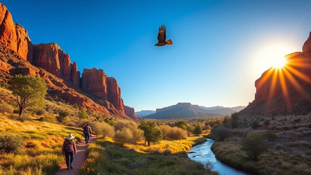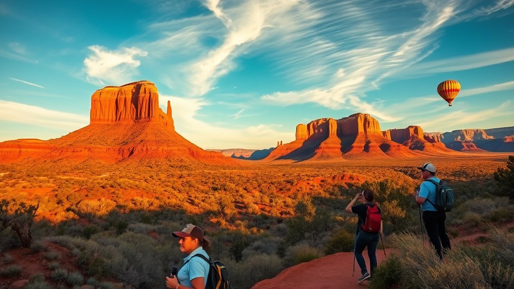
See Sedona’s red rocks in soft morning light, walk among sandstone formations during the day, and watch the cliffs change color toward sunset. A good Sedona trip mixes iconic hikes, scenic overlooks, quiet cultural stops, and enough downtime to enjoy the landscape. Planning around trail difficulty, weather, shuttle schedules, parking, and your own fitness level makes the experience much easier.
Quick Answer
For a first Sedona trip, prioritize Cathedral Rock or Bell Rock, Airport Mesa, Chapel of the Holy Cross, and one quieter canyon or scenic drive. Start outdoor activities early, use Sedona’s trailhead shuttles when available, check weather and trail conditions, and leave time for galleries, food, stargazing, or a relaxed sunset.
Key Takeaways
- Cathedral Rock, Bell Rock, Airport Mesa, Boynton Canyon, and Chapel of the Holy Cross give first-time visitors a strong mix of hiking, views, and quieter stops.
- Cathedral Rock is short but steep and involves scrambling, while Bell Rock offers more options for visitors who want a gentler outing.
- Sedona’s free Trailhead Shuttle serves selected popular trailheads; a separate on-demand Shuttle Connect service helps with trips around town.
- Some Forest Service recreation sites require a Red Rock Pass or another accepted federal recreation pass.
- Check heat, thunderstorms, flash-flood potential, trail conditions, and transportation schedules before leaving your lodging.
Must-See Sights and Vortex Spots
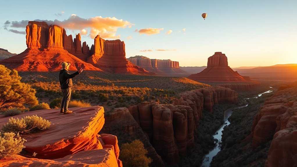
For a first visit, start with the red-rock landmarks that define Sedona: Cathedral Rock, Bell Rock, Airport Mesa, Chapel of the Holy Cross, and Boynton Canyon. They give you a useful introduction to the area’s sandstone scenery while offering several levels of hiking difficulty.
Cathedral Rock and Bell Rock
Cathedral Rock delivers dramatic views, but do not confuse a short route with an easy one. The upper trail is steep, exposed in places, and requires hands-on-rock scrambling. Wear shoes with dependable traction, carry water, and turn around if the terrain exceeds your comfort level.
Bell Rock works better when you want flexibility. You can enjoy the formation from lower paths without committing to the steeper scrambling routes. Nearby connections also make it possible to build a longer outing around Bell Rock and Courthouse Butte.
Airport Mesa, Chapel of the Holy Cross and Boynton Canyon
Airport Mesa is popular near sunset because of its broad red-rock views. Arrive with extra time because parking can be limited during busy periods. Chapel of the Holy Cross provides a very different experience, combining striking architecture with close red-rock scenery. Boynton Canyon is better suited to travelers who want a longer, quieter walk with a mix of open desert and shaded terrain.
Note: Cathedral Rock, Bell Rock, Airport Mesa and Boynton Canyon are commonly described as Sedona vortex sites. Vortex energy is a spiritual belief rather than a scientifically established physical phenomenon. You can approach these places for meditation or personal reflection, or simply enjoy their scenery and trails.
Whatever your reason for visiting, respect people who are meditating or practicing quietly. Stay on established routes and durable surfaces rather than creating new paths through fragile desert terrain.
Suggested Itineraries by Trip Length and Interest
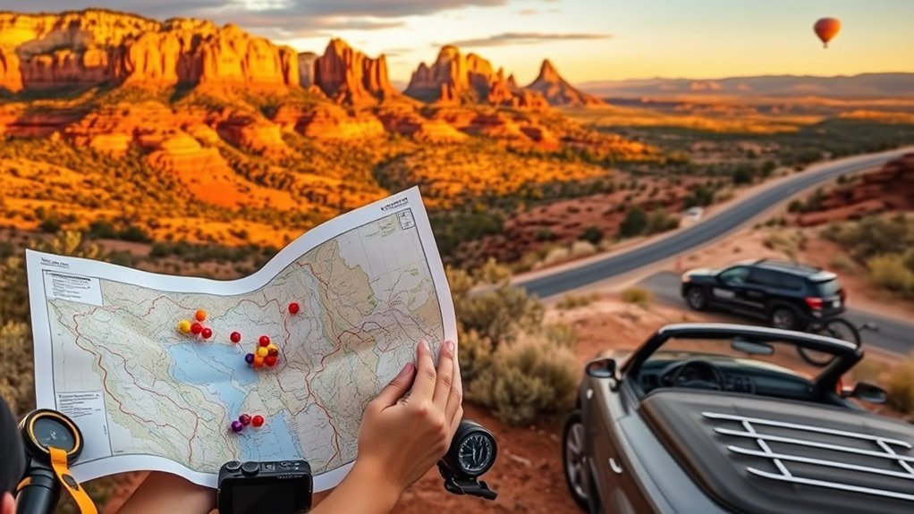
The right itinerary depends on how long you have, how much hiking you want, and how comfortable you are with steep terrain. Avoid packing every famous trail into one day. Sedona is more enjoyable when you leave room for traffic, parking or shuttle transfers, meals, weather changes, and unplanned stops.
One Day in Sedona
- Early morning: Choose Cathedral Rock if you are comfortable with a steep scramble, or Bell Rock for a more flexible outing.
- Late morning: Visit Chapel of the Holy Cross or another scenic overlook.
- Afternoon: Have lunch, browse galleries or shops, and avoid committing to an exposed hike during the hottest part of a warm day.
- Evening: Finish at Airport Mesa or another west-facing viewpoint for sunset, then stay out for stargazing if conditions are clear.
Long Weekend
With two or three full days, spread the major sights out. Add a Jeep or backcountry tour, spend half a day around Bell Rock and Courthouse Butte, and give yourself time for Tlaquepaque, galleries, a relaxed dinner, and an evening stargazing stop. A spa session or quiet afternoon can be a useful recovery break between active hiking days.
Five Days to One Week
A longer stay gives you room to explore Oak Creek Canyon, take a longer trail loop, spend time around Boynton Canyon, and explore Sedona’s arts and wellness offerings without racing between stops. Experienced visitors can consider professionally guided technical activities such as canyoneering, while travelers who prefer culture and calm can substitute gallery time, meditation, scenic drives, and easier viewpoints.
Pro Tip: Plan each day around one priority hike or major activity rather than a long checklist. That leaves room to change plans if a trailhead is crowded, temperatures climb, thunderstorms develop, or you simply want more time at a viewpoint.
Best Time to Visit Sedona and Seasonal Conditions
Sedona can be visited throughout the year, but conditions change significantly by season. Always check a current forecast instead of relying only on average temperatures.
- Spring: Pleasant hiking weather can make this a high-demand period, so lodging, parking and trailheads may be busy.
- Summer: Start exposed hikes early. Afternoon heat can be intense, and northern Arizona’s summer monsoon pattern can bring rapidly developing thunderstorms.
- Fall: Cooler conditions are comfortable for longer hikes, but popular weekends can still be busy.
- Winter: Days can be crisp and quieter, while cold mornings, snow or ice can make shaded and elevated trail sections slippery.
Warning: Never enter a wash or narrow canyon just because the sky directly above you looks clear. The National Weather Service in Flagstaff warns that flash floods can travel well beyond the storm that produced them. Check the forecast before hiking and leave low-lying drainage areas if storms threaten.
Getting Around Sedona: Shuttles, Parking and Recreation Passes
A car is useful for exploring the wider region, but you should not assume you can drive directly to every popular trailhead whenever you want. Sedona operates a combination of trailhead transit and on-demand public transportation.
Sedona Trailhead Shuttle
The Sedona Shuttle Trailhead Routes provide free transportation from park-and-ride locations to selected high-demand trailheads, including access for areas such as Cathedral Rock, Little Horse, Soldier Pass, Dry Creek Vista and Mescal. The normal year-round schedule is concentrated Thursday through Sunday, although extra service may be added during peak periods.
Check the current schedule before your trip. When the trailhead shuttle is operating, parking at the Cathedral Rock and Soldier Pass trailheads is closed during shuttle-service hours. Use the appropriate park-and-ride instead of circling residential streets looking for unofficial parking.
Sedona Shuttle Connect
For trips around town, the City of Sedona also operates Sedona Shuttle Connect, an app-based shared-ride service. Unlike the free Trailhead Shuttle, Connect charges a fare. It can help you reach restaurants, lodging, shops and trailhead park-and-ride areas without moving your own vehicle for every trip.
Red Rock Pass and Parking Fees
Some Sedona-area sites managed by the Coconino National Forest are recreation-fee locations. Depending on where you park, you may need a Red Rock Pass or another accepted federal recreation pass. Do not assume every roadside space or trailhead uses the same fee system. Check the specific site before parking.
Practical Tips: Timing, Trails, Parking, Food & Lodging
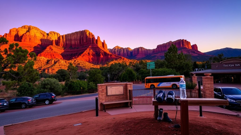
Plan your outdoor time around weather and exposure. Morning is usually the safest choice for strenuous hikes during warm periods because temperatures are lower and you have more flexibility if conditions change. Sunrise and early light can also make the red rocks especially vivid.
Bring layers. Sedona’s elevation and dry climate can produce noticeable temperature swings between morning, afternoon and evening. A light insulating layer or wind-resistant shell is useful even when the day begins warm.
Wear appropriate footwear. Slickrock, loose gravel and steep sandstone are poor places for shoes with worn or smooth soles. Trekking poles can help on some loose or uneven approaches, although they will not replace careful movement on scrambling sections.
Carry enough water and sun protection. Do not wait until you feel thirsty to think about hydration. A brimmed hat, sunscreen and snacks are sensible additions for longer outings.
Download maps before leaving town. Cellular reception can become unreliable in canyons and backcountry areas. Save an offline trail map and make sure your phone has enough battery for navigation and emergencies.
Plan food before the end of a long hiking day. Keep snacks or a picnic option available, and make dinner reservations when visiting during busy periods if a particular restaurant matters to you.
Book lodging early for high-demand dates. Uptown works well when walkability to shops and restaurants matters. West Sedona is convenient for groceries, restaurants and access to several western trail systems. The Village of Oak Creek can suit travelers who want to stay closer to Bell Rock and the southern approaches to Sedona.
- Dawn or early morning at Cathedral Rock: cooler conditions and attractive light, but expect steep scrambling if you continue high on the trail.
- Mid-morning at Bell Rock: flexible paths and red-rock views without requiring the most difficult climbing options.
- Sunset at Airport Mesa: broad views, with limited parking during popular periods.
- Night under the stars: bring a flashlight or headlamp and avoid shining bright lights toward other visitors.
Responsible Trail Use in Red Rock Country
Sedona’s popularity puts pressure on trails, desert vegetation, neighborhoods and parking areas. Stay on established trails and durable surfaces, pack out all trash, avoid carving or stacking rocks, respect wildlife, and keep noise low around people seeking quiet.
Do not create your own parking space along a road or block a neighborhood driveway because an official lot is full. Use a shuttle, choose another trail, or return at a different time. On the trail, avoid shortcuts that widen paths and damage fragile desert ground.
Outdoor plans should also remain flexible. Wildfire, trail maintenance, extreme heat, storms and other conditions can temporarily alter access. Check current Forest Service, weather and shuttle information on the day of a major hike rather than treating an old itinerary as fixed.
Frequently Asked Questions
How do I get around Sedona without a car?
Use the free Sedona Trailhead Shuttle for the trailheads it serves and Sedona Shuttle Connect for many trips around town. Walking and biking can also work for shorter routes, but Sedona is spread out and terrain is hilly. Check current routes, operating days and fares before relying on transit for a fixed itinerary.
Are guided photography tours available in Sedona?
Yes. Local guides and photography-focused tours are available, with offerings that may cover composition, landscape shooting, sunrise or sunset locations, and camera technique. Availability changes, so compare current guide listings and make sure the physical demands of the route match your mobility and hiking experience.
What rules apply to drone use around Sedona?
Drone rules depend on both FAA requirements and the land from which you operate. Recreational flyers must follow FAA recreational-flyer rules, including TRUST requirements, registration when applicable, airspace restrictions and other operating rules. Part 107 operations require the appropriate FAA credentials. Land managers can impose additional restrictions, and temporary flight restrictions may apply during wildfires or other emergencies. If your trip includes Grand Canyon National Park or another National Park Service site, be aware that the National Park Service generally prohibits launching, landing or operating recreational drones from NPS-administered lands.
Where can I find accessibility-friendly options in Sedona?
Accessibility varies widely. Many of Sedona’s signature hiking trails include loose rock, uneven natural surfaces, steep grades or scrambling, so do not assume a famous trail is wheelchair accessible because its trailhead has accessible parking or facilities. Sedona Trailhead Shuttle vehicles are wheelchair accessible. For outdoor sites, check the individual City of Sedona or Coconino National Forest facility description before visiting and contact the land manager if you need confirmation about surface, slope, restroom or parking access.
Is there reliable cell service and internet in Sedona?
Service is generally easier to find in developed parts of town than on remote trails, but coverage varies by carrier, canyon and terrain. Do not depend on a live internet connection for backcountry navigation. Download maps in advance, carry a charged phone, and tell someone where you are going on longer hikes.
Do I need a Red Rock Pass in Sedona?
You need a recreation pass when parking at participating Sedona-area fee sites managed by the Coconino National Forest. A Red Rock Pass is one option, and qualifying federal recreation passes are accepted at standard amenity fee sites. Requirements vary by location, so check signage and the Forest Service’s current pass information before leaving your vehicle.
Can I park at Cathedral Rock Trailhead?
Not always. During Sedona Trailhead Shuttle operating periods, the Cathedral Rock trailhead parking lot is closed and visitors are directed to use the designated park-and-ride and shuttle. Outside shuttle operating hours, trailhead access rules can differ. Check the current Sedona Shuttle schedule before driving there.
What should I know about summer hiking in Sedona?
Start strenuous hikes early, carry enough water, use sun protection, and check the National Weather Service forecast before leaving. Summer thunderstorms can develop quickly, and flash flooding can affect washes and canyons even when the heaviest rain falls somewhere else. Change your route or turn back when conditions deteriorate.
Conclusion
Sedona is easiest to enjoy when you combine a few major red-rock sights with realistic pacing. Hike early when conditions call for it, choose trails that match your ability, use the shuttle instead of fighting for constrained parking, and leave room for Chapel of the Holy Cross, galleries, a Jeep tour, stargazing, or a quiet viewpoint. Pack layers, carry water, check weather and access information, and treat vortex sites and fragile desert landscapes with respect. A flexible plan usually creates a better trip than trying to race through every famous stop.
Sources
- Sedona Shuttle Trailhead Routes — current trailhead shuttle service, destinations and operating information.
- City of Sedona Public Transit — Sedona Shuttle Connect transportation and fare information.
- U.S. Forest Service Red Rock & Coconino Passes Program — recreation-pass and Sedona-area fee-site requirements.
- National Weather Service Flagstaff: Flash Floods — northern Arizona flash-flood hazards and safety guidance.
- Federal Aviation Administration: Recreational Flyers — federal recreational drone requirements.
- National Park Service: Uncrewed Aircraft in National Parks — restrictions on launching, landing and operating drones on NPS-administered lands.