From Flagstaff, you can reach the Grand Canyon, Sedona’s red rocks, ancestral cliff dwellings, volcanic landscapes, historic mining streets, and Route 66 attractions without committing to an overnight trip. The best choice depends on how much driving and hiking you want, so use the guide below to compare travel time, access, fees, seasonal conditions, and the experience each day trip offers.
Quick Answer
The best day trips from Flagstaff include the Grand Canyon South Rim, Sedona, Walnut Canyon, Sunset Crater and Wupatki, Oak Creek Canyon, Jerome, and Williams with Bearizona. Walnut Canyon is the quickest outing, while the Grand Canyon and Sedona deserve most of a full day.
Key Takeaways
- Grand Canyon South Rim is the classic full-day choice, about 80 miles from Flagstaff, with viewpoints, the Rim Trail, and free park shuttles.
- Sedona works best when you choose one or two hikes or viewpoints instead of trying to cover the entire area in a day.
- Walnut Canyon is the easiest short outing from Flagstaff, while the Island Trail is much more strenuous than the paved Rim Trail.
- Sunset Crater and Wupatki combine naturally on the same scenic loop and mix volcanic geology with ancestral Puebloan history.
- As of August 16, 2026, Slide Rock’s Oak Creek swim area is closed through October 1, 2026 following the Pocket Fire, so check current conditions before planning a swimming trip.
Best Day Trips From Flagstaff at a Glance
| Day Trip | Approx. Drive From Flagstaff | Good Trip Length | Best For | Access / Fee Note |
|---|---|---|---|---|
| Grand Canyon South Rim | About 80 miles; roughly 1.5 hours each way | Full day | Iconic views, easy rim walks, geology | National park entrance fee; no timed-entry reservation currently required |
| Sedona | About 45–60 minutes to central Sedona in normal traffic | Most of a day | Red-rock scenery, hiking, photography | Some trailheads require a recreation pass; free trailhead shuttles serve several popular areas |
| Walnut Canyon | Roughly 20 minutes | 2–3 hours | Cliff dwellings, history, short walks | Entrance fee; Island Trail has many stairs |
| Sunset Crater + Wupatki | About 30 minutes to Sunset Crater | 4–6 hours | Volcanic landscapes, pueblos, scenic driving | One vehicle pass covers both monuments for 1–7 days |
| Oak Creek Canyon + Slide Rock | About 25 miles to Slide Rock | 3–5 hours | Scenic canyon, picnics, seasonal swimming | Swim area closed through Oct. 1, 2026; vehicle entry only |
| Jerome | About 75 miles; roughly 1.5 hours | 4–6 hours | Mining history, galleries, valley views | Museum admission and some town parking fees apply |
| Williams + Bearizona | About 25 miles | 5–7 hours | Families, Route 66, wildlife | Bearizona charges per-person admission |
Pro Tip: Avoid stacking two major destinations such as Sedona and the Grand Canyon into one day. Walnut Canyon or Sunset Crater can fit into shorter schedules, but the Grand Canyon, Sedona, and Jerome are more rewarding when each gets its own day.
Grand Canyon South Rim: Iconic Views and Short Hikes
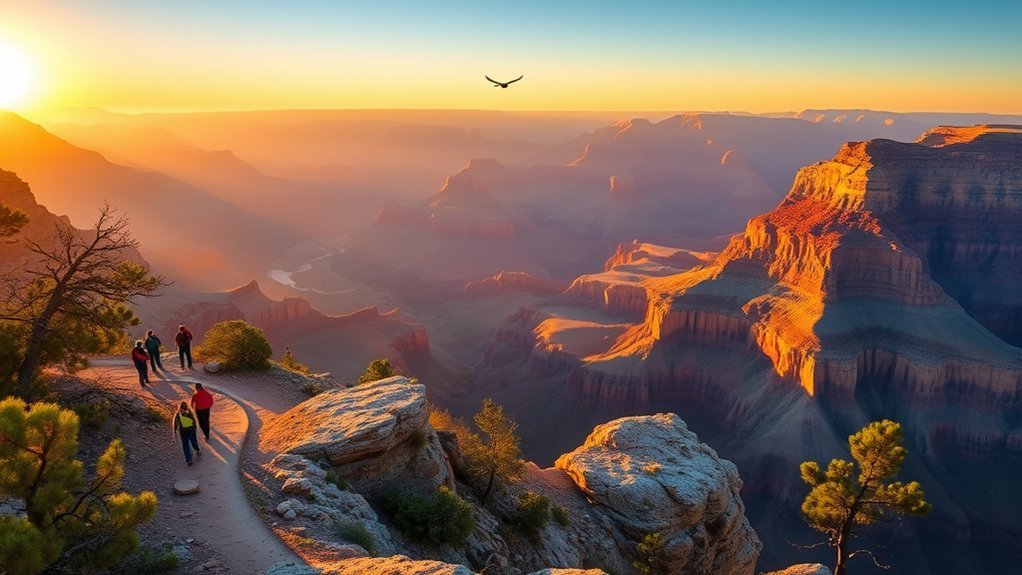
A rim-to-horizon panorama greets you at the South Rim, about 80 miles northwest of Flagstaff. For a first visit, start near the Grand Canyon Visitor Center and walk to Mather Point. Yavapai Point and the nearby geology museum add another broad canyon perspective without requiring a strenuous hike.
The Rim Trail is the easiest way to combine walking with multiple viewpoints. Large sections are relatively gentle, and you can use the park’s free South Rim shuttle system to connect different areas rather than repeatedly moving your car. Mather Point itself does not have a dedicated parking lot, but the Grand Canyon Visitor Center parking areas are nearby.
If you want to experience the canyon below the rim, you can descend partway on the Bright Angel Trail, but treat even a short descent as a serious hike. Walking downhill is deceptively easy; the climb back out requires much more effort. The National Park Service recommends planning substantially more time for your return ascent and checking current trail, heat, and water conditions before leaving the rim.
Warning: Summer conditions below the Grand Canyon rim can be dangerously hot. NPS advises avoiding strenuous inner-canyon hiking during the hottest part of the day. If your goal is sightseeing rather than serious hiking, stay on the Rim Trail and viewpoints.
Ranger programs and visitor information can help you understand the canyon’s geology, cultural history, weather, and trail conditions. Bring water, sun protection, layers, and sturdy footwear because the South Rim sits around 7,000 feet in elevation and weather can change quickly.
2026 Fee Note: The standard Grand Canyon private-vehicle entrance pass is $35 for seven consecutive days. In 2026, NPS also charges a $100 nonresident fee to each non-US resident age 16 or older unless admission is covered by an applicable annual or America the Beautiful pass. Check the official Grand Canyon fee page before visiting.
Sedona Red Rock Country: Scenic Drives and Vortex Stops
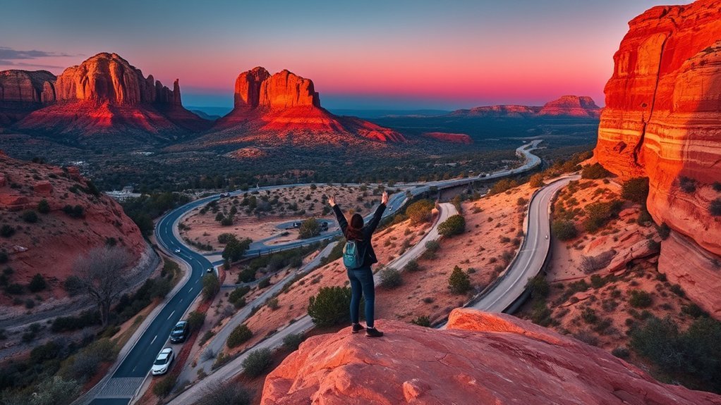
Drive south from Flagstaff and Sedona quickly changes the scenery from ponderosa forest to sculpted red sandstone. The Red Rock Scenic Byway along SR 179 gives you dramatic views even before you start hiking, while Chapel of the Holy Cross, Bell Rock, and overlooks around the Village of Oak Creek make useful sightseeing stops.
Choose your hikes carefully rather than trying to complete every famous trail. Bell Rock Pathway offers flexible turnaround points, while Cathedral Rock is short but steep and involves hands-on scrambling in places. Doe Mountain is another rewarding option, but it still requires a steady climb. Carry more water than you expect to need and avoid exposed hikes during the hottest part of summer days.
Parking is one of Sedona’s biggest practical challenges. The free Sedona Trailhead Shuttle serves several heavily visited trailheads, including Cathedral Rock, and no shuttle reservation is required. Some U.S. Forest Service recreation sites require a Red Rock Pass or an accepted federal recreation pass, so confirm the specific trailhead before leaving Flagstaff.
Pro Tip: Pick one hiking zone and one town stop. For example, combine Bell Rock or Cathedral Rock with Tlaquepaque and an early dinner instead of spending your day moving between distant trailheads and searching for parking.
Sedona’s well-known vortex sites attract visitors interested in meditation and spiritual experiences. You can enjoy those locations for their scenery regardless of your personal view of vortex traditions. Treat claims about special energy as spiritual or cultural beliefs rather than established scientific findings.
Between outdoor stops, explore Tlaquepaque Arts & Shopping Village, local galleries, cafés, and restaurants. Commercial jeep and backcountry tours can add interpretation if you prefer a guided experience, although popular departures may require advance booking during busy periods.
Walnut Canyon National Monument: Ancient Cliff Dwellings
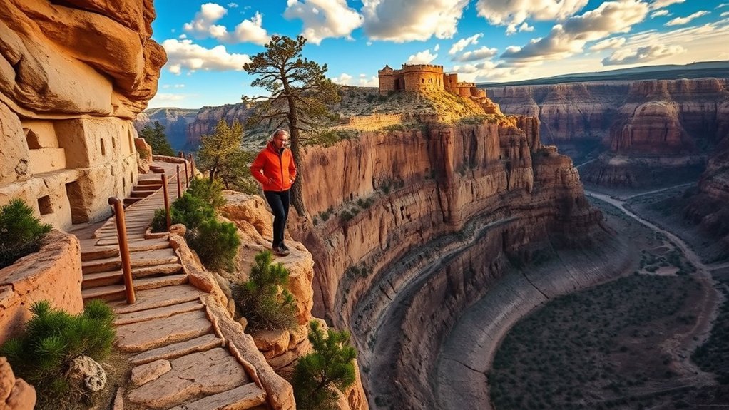
Walnut Canyon National Monument is one of the easiest day trips from Flagstaff when you want archaeology and scenery without a long drive. Rather than basalt walls, the canyon exposes layers of Kaibab limestone, Toroweap Formation, and Coconino Sandstone. Natural sandstone alcoves provided protected spaces where ancestral communities built cliff dwellings.
The monument has two very different visitor experiences. The Rim Trail is an easy, paved, fairly flat route with canyon overlooks. The Island Trail descends into the canyon and passes numerous cliff-dwelling rooms, but NPS rates it strenuous because of its many stairs and the roughly 7,000-foot elevation. Check the official Walnut Canyon trail information before your visit.
Walk Among Ancestral Cliff Dwellings
Stone-and-mortar rooms tucked beneath natural alcoves connect you with communities that lived here centuries ago. Archeologists commonly use the term Northern Sinagua for the archaeological culture associated with many of these sites, while the National Park Service also emphasizes the continuing connections between these ancestral places and present-day Indigenous communities.
Interpretive signs help explain farming, trade, architecture, and daily life. As you explore, look for details such as:
- Stone masonry fitted beneath naturally protective sandstone alcoves.
- Compact rooms and ledges that made careful use of limited shelter space.
- Room layouts and construction materials that show how residents adapted to the canyon environment.
Do not touch, climb on, or lean against archaeological walls. Staying on established trails protects fragile structures that have already endured centuries of weather and human visitation.
Rim Trail Access
The Rim Trail is the better choice if you want canyon views without the strenuous descent and climb of the Island Trail. It begins near the visitor center and offers a paved route, overlooks, interpretive information, and places to pause. The visitor center also has an accessible canyon viewpoint.
| Feature | What It Means for Your Visit |
|---|---|
| Rim Trail | About 0.7 mile round trip; easy, paved, and fairly flat |
| Island Trail | About 1 mile round trip; strenuous, with a steep stair-filled return |
| Overlooks | Good option for visitors who do not want to descend into the canyon |
| Interpretive displays | Provide archaeological, cultural, and natural-history context |
Walnut Canyon is generally open from 9 a.m. to 5 p.m., but entry to the Island Trail closes earlier, currently at 4 p.m., and visitors are encouraged to start the Rim Trail before its later afternoon cutoff. Confirm hours before driving out because weather or operational conditions can change.
Wildlife and Geology
The canyon’s geology helps explain why people could live here. Resistant limestone forms the upper rim, while sandstone layers below contain alcoves that offered shelter. Different elevations and exposures also create varied plant communities, from ponderosa pine near the rim to vegetation adapted to warmer, drier slopes.
As you walk, look for:
- Natural sandstone alcoves used as protected building sites.
- Changes in vegetation as slope direction, shade, and elevation shift.
- Birds and mammals moving through the canyon and forest edge.
These relationships between geology, water, plants, wildlife, and human settlement make Walnut Canyon more than an archaeological stop. They show how closely daily life was connected to the landscape.
Wupatki and Sunset Crater: Volcanic Landscapes and Archaeology
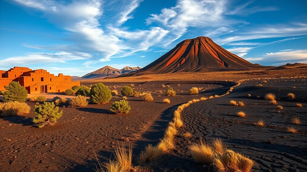
Sunset Crater Volcano and Wupatki National Monument make one of the most natural two-site combinations from Flagstaff. The National Park Service’s scenic loop runs for roughly 34 miles between the monuments, moving from ponderosa pine and dark volcanic terrain into open grasslands and views toward the Painted Desert.
Current NPS research dates the Sunset Crater eruption to about 1085 CE. The eruption produced the cinder cone, ash, and lava flows that transformed the surrounding landscape. You cannot hike to the top of Sunset Crater itself because the fragile cone has long been closed to foot traffic, but designated trails let you explore volcanic features without damaging them.
At Wupatki, the focus shifts from eruption geology to human adaptation. Wupatki Pueblo contains more than 100 rooms along with a ball court and natural blowhole. The pueblos use local stone, including extensive sandstone and limestone; basalt appears at some sites but it is inaccurate to describe all of the structures as being built from lava rock.
The volcanic eruption changed soils, settlement patterns, and the environment in which communities farmed and traded. Interpretive displays connect those environmental changes with the thriving communities that later developed across the Wupatki Basin.
Note: A standard private-vehicle pass currently costs $25 and covers both Sunset Crater Volcano and Wupatki National Monuments for 1–7 days. Check the official fee page for changes.
Bring sturdy shoes, water, sunscreen, and layers. Wupatki is lower and can feel noticeably warmer than Flagstaff. Pets are not allowed on Wupatki monument trails, although service animals meeting ADA requirements are permitted.
Oak Creek Canyon and Slide Rock State Park: Scenic Stops and Seasonal Swimming
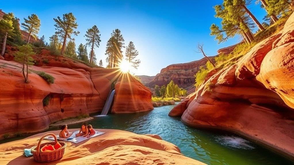
Warning: As of August 16, 2026, the Oak Creek swim area at Slide Rock State Park is closed through October 1, 2026 following the Pocket Fire. The park remains open for permitted hiking, picnicking, and historic-site visits. Check the official Slide Rock status page before traveling.
Oak Creek Canyon offers a dramatic change from Flagstaff’s high-country forests, with steep canyon walls, red rock, tree-lined creek scenery, and scenic pullouts along SR 89A. Slide Rock State Park, about 25 miles south of Flagstaff, occupies a historic apple farm beside Oak Creek and is normally known for its natural sandstone water slide.
When the swim area is officially open, visitors can wade, swim, and slide along designated parts of Oak Creek. The park’s namesake sandstone chute is roughly 80 feet long. Water shoes with good grip are useful because wet rock can be extremely slippery.
- Sandstone channels polished smooth by flowing water.
- Oak Creek scenery framed by canyon walls and trees.
- Picnic and historic areas connected to the former Pendley Homestead.
Slide Rock changed its entry procedures in 2026. Walk-ins, bicycle entries, and passenger drop-offs are not permitted; visitors must enter by vehicle through the entry station. The parking lot is limited, reservations are not offered for general day use, and vehicles may not line up along the highway when the park is full.
Pets are also restricted. They are not allowed anywhere in the park from May 1 through September 30, and they are prohibited in the creek/swim area year-round. Bring drinking water, sun protection, appropriate footwear, and a backup plan if parking or seasonal conditions prevent entry.
Jerome Historic Mining Town: Art, History, and Panoramic Views
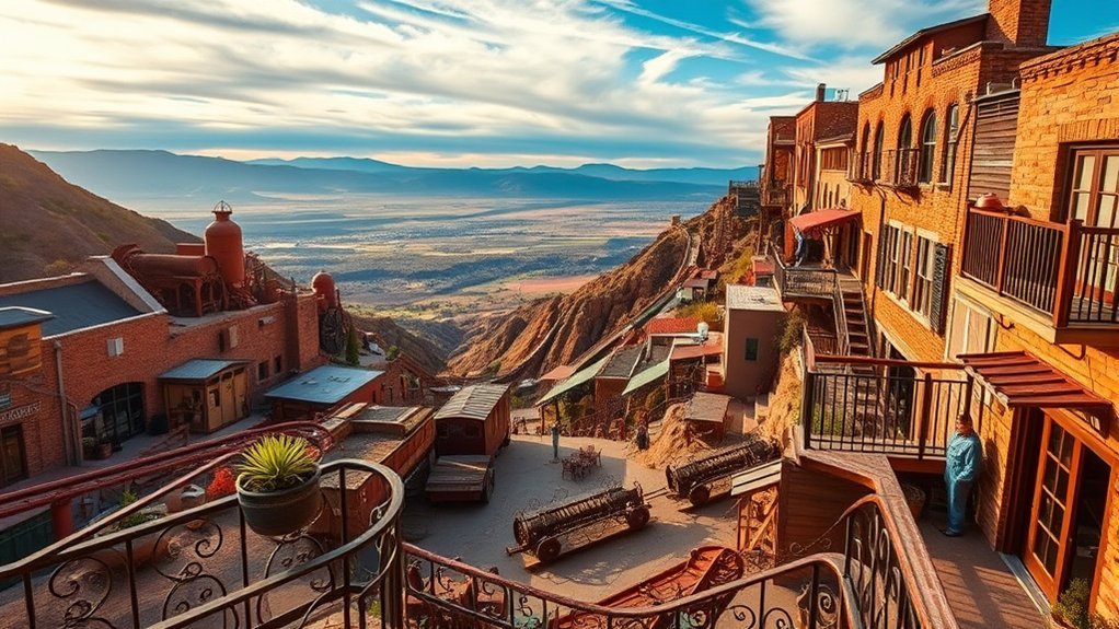
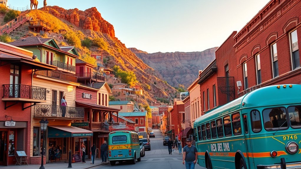
Jerome sits high above the Verde Valley and gives you a completely different day trip from Flagstaff. Its steep streets combine copper-mining history, galleries, old commercial buildings, museums, and long views across central Arizona. Give yourself time to park and explore on foot because the historic core is compact but hilly.
Mining-Era History
Jerome grew around major copper operations during the late 1800s and early 1900s. Rail connections, mining infrastructure, smelters in the Verde Valley, and rich ore bodies transformed a rough camp into a substantial community before large-scale mining ended in 1953.
The best introduction is Jerome State Historic Park. James S. Douglas built the Douglas Mansion in 1916 above the Little Daisy Mine. It was designed both as a hotel for mining officials and investors and as a residence for his family. Today it contains photographs, minerals, artifacts, a model of Jerome’s underground mines, and exhibits explaining the town’s development.
As you explore, picture the town during its mining boom:
- Ore cars and rail lines moving material from the mines.
- Workers, merchants, and families filling steep streets with dozens of nationalities and occupations.
- Mine workings, industrial equipment, and buildings spread across the mountainside.
The park is currently open daily from 9 a.m. to 4:30 p.m., with holiday exceptions. Current admission is $10 for adults 14+, $5 for youth ages 7–13, and free for children 0–6.
Arts and Galleries
Jerome’s post-mining identity is closely tied to art. Galleries and studios occupy historic storefronts and former industrial spaces, with painting, photography, glass, jewelry, pottery, sculpture, and mixed-media work throughout town.
If your schedule allows, Jerome’s recurring First Saturday Art & Wine Walk is held on the first Saturday of each month, typically from 5 to 8 p.m. Confirm the event schedule before planning around it.
| Gallery Type | What You May Find |
|---|---|
| Painting & Prints | Southwestern landscapes, abstract work, and historical subjects |
| Glass & Jewelry | Handmade glass, silverwork, and wearable art |
| Sculpture | Metal, ceramic, and found-object work |
| Mixed Media | Contemporary pieces influenced by Jerome and the Southwest |
Scenic Overlooks and Views
Jerome’s elevation gives you broad views across the Verde Valley toward distant mesas and mountains. Historic buildings, old mining features, and steep streets make those viewpoints feel connected to the town’s industrial past rather than separate from it.
- Historic structures: weathered masonry, industrial remnants, and hillside buildings.
- Verde Valley panorama: broad views across the valley and surrounding high country.
- Late-day light: changing shadows across Jerome’s steep streets and distant ridgelines.
Parking can be more challenging than the town’s small size suggests. The Town of Jerome operates paid public parking in designated areas, including all-day parking options. Check the official Jerome parking information before arriving on a busy weekend.
Historic Route 66 to Williams and Bearizona Wildlife Park
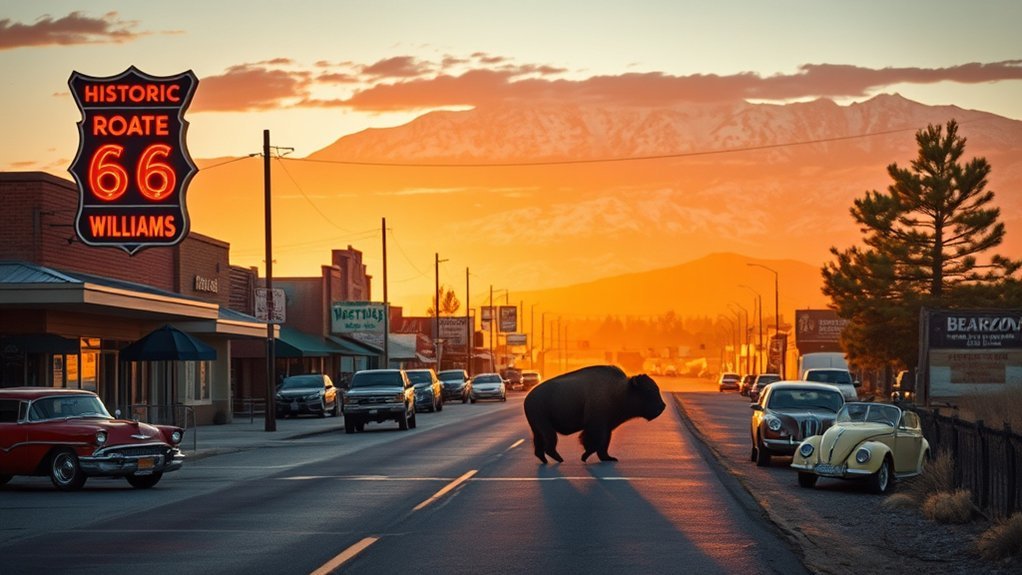
Head west from Flagstaff to Williams, roughly 25 miles away, for a day that combines Route 66 history with wildlife viewing. Williams has an especially strong Route 66 connection: it was the final town bypassed by Interstate 40 when the last remaining segment of U.S. Route 66 was replaced in 1984.
Spend some time walking the historic downtown district, where Route 66-era signs, shops, restaurants, and roadside architecture keep the highway’s automobile-travel history visible. The National Park Service Route 66 history provides useful context if you want to understand why Williams matters to the story of the road.
Then continue to Bearizona Wildlife Park, located at the intersection of I-40 and Historic Route 66. Admission includes a self-guided drive-through area and the walk-through Fort Bearizona area. Depending on animal activity, you may see species such as black bears, bison, wolves, mountain goats, reindeer, and other North American wildlife.
The drive-through section is about three miles long, and Bearizona recommends allowing approximately three hours for the overall park experience. That makes Williams plus Bearizona a comfortable full day without the long highway time required for the Grand Canyon or Jerome.
Note: Bearizona is open year-round, but operating hours and admission prices vary. Check Bearizona’s official visitor page before leaving Flagstaff.
Planning Tips for Day Trips From Flagstaff
Start Early and Check Current Conditions
Conditions in northern Arizona can change rapidly because these destinations span very different elevations and landscapes. A cool morning in Flagstaff does not guarantee comfortable temperatures at Wupatki, Sedona, or below the Grand Canyon rim. Winter can bring snow and ice at higher elevations, while summer monsoon storms can create lightning, flash-flood, and road hazards.
Before leaving, check the official destination page for closures, trail status, fire restrictions, weather, and road access. For highway conditions, Arizona’s official AZ511 service is useful.
Pack for Elevation and Sun
Carry drinking water even when visitor facilities normally provide fountains. Bring sunscreen, a hat, sturdy shoes, and layers. Flagstaff and the Grand Canyon South Rim sit near 7,000 feet, so visitors arriving from lower elevations may notice faster breathing or fatigue during climbs.
Choose the Right Trip for Your Mobility
For easier sightseeing, prioritize Grand Canyon rim viewpoints, Walnut Canyon’s Rim Trail and visitor-center overlook, the Sunset Crater and Wupatki scenic drive, downtown Williams, or the Bearizona drive-through. Walnut Canyon’s Island Trail and Sedona’s Cathedral Rock require substantially more effort.
Do Not Assume Pet Rules Are the Same
Pet access differs sharply among these destinations. A dog that can walk the Grand Canyon Rim Trail cannot automatically use Walnut Canyon’s Island Trail or Wupatki’s pueblo trails. Always check the destination’s current pet policy before making the drive.
Frequently Asked Questions
Are pets allowed on trails and in parks on these day trips?
Rules vary considerably. At the Grand Canyon South Rim, leashed pets are allowed on trails above the rim but not below the rim or on park shuttle buses. Walnut Canyon allows leashed pets on the Rim Trail but not the Island Trail. Wupatki does not allow pets on monument trails. Slide Rock prohibits pets throughout the park from May 1 through September 30 and in the creek area year-round. Service-animal rules are separate.
What are the best months for avoiding crowds?
Weekdays outside major holidays are generally easier than weekends. Late fall and winter can be quieter at the Grand Canyon and Flagstaff-area monuments, but snow and icy roads are possible. Sedona can remain busy during mild spring and fall weather, so an early arrival or trailhead shuttle is still useful.
Are restrooms and drinking water available along these routes?
Major visitor centers and developed attractions generally have restrooms, but facilities are not available at every trailhead or roadside stop. Drinking-water availability can also change because of seasonal closures or maintenance problems. Carry enough water for your outing instead of depending on a fountain being available.
Can I refuel or rent a car in Flagstaff easily?
Yes. Flagstaff has multiple gas stations and rental-car businesses. For longer outings such as the Grand Canyon or Jerome, start with a full tank so you do not have to reorganize your day around fuel stops. Rental inventory and rates can vary, especially around busy travel periods, so advance booking is sensible when a car is essential to your trip.
Do these destinations require advance permits or reservations?
Most sightseeing in this guide does not require an advance permit. Grand Canyon National Park currently has no timed-entry or general park-entry reservation requirement. Sedona Trailhead Shuttle rides do not require reservations. Slide Rock does not offer general day-use reservations. Guided tours, special programs, camping, lodging, and some commercial activities can have separate reservation requirements.
Which day trips are easiest for families or visitors who do not want a hard hike?
Williams and Bearizona, Grand Canyon rim viewpoints, Walnut Canyon’s Rim Trail, and the Sunset Crater-Wupatki scenic loop are good choices. Sedona can also work if you focus on viewpoints and easier walks rather than Cathedral Rock or another steep trail.
Can I combine two of these destinations in one day?
Yes, but choose combinations that naturally fit together. Sunset Crater and Wupatki are designed around the same scenic loop, while Williams and Bearizona pair easily. Walnut Canyon can fit into a shorter day with another nearby Flagstaff-area stop. Avoid combining the Grand Canyon and Sedona unless your goal is mostly driving and brief viewpoints.
Sources
- Grand Canyon National Park, National Park Service — South Rim access, trails, shuttles, conditions, and visitor planning.
- Walnut Canyon National Monument, National Park Service — trail difficulty, cliff dwellings, hours, geology, and pet rules.
- Sunset Crater Volcano National Monument, National Park Service — scenic-loop access, volcanic history, trails, and fees shared with Wupatki.
- Sedona Shuttle — current trailhead shuttle routes, schedules, and access guidance.
- Slide Rock State Park, Arizona State Parks — current swimming closure, entry rules, fees, hours, and pet restrictions.
- Jerome State Historic Park, Arizona State Parks — Douglas Mansion history, museum information, hours, and admission.
Conclusion
The best day trip from Flagstaff depends on what you want from the day. Choose the Grand Canyon South Rim for the biggest landscape, Sedona for red-rock hiking, Walnut Canyon for a short archaeology-focused outing, or Sunset Crater and Wupatki for an easy pairing of geology and Indigenous history. Jerome works well for art and mining history, while Williams and Bearizona offer an especially family-friendly Route 66 outing. Check current conditions before leaving, start early, and give your chosen destination enough time to enjoy instead of trying to fit several major stops into one rushed day.