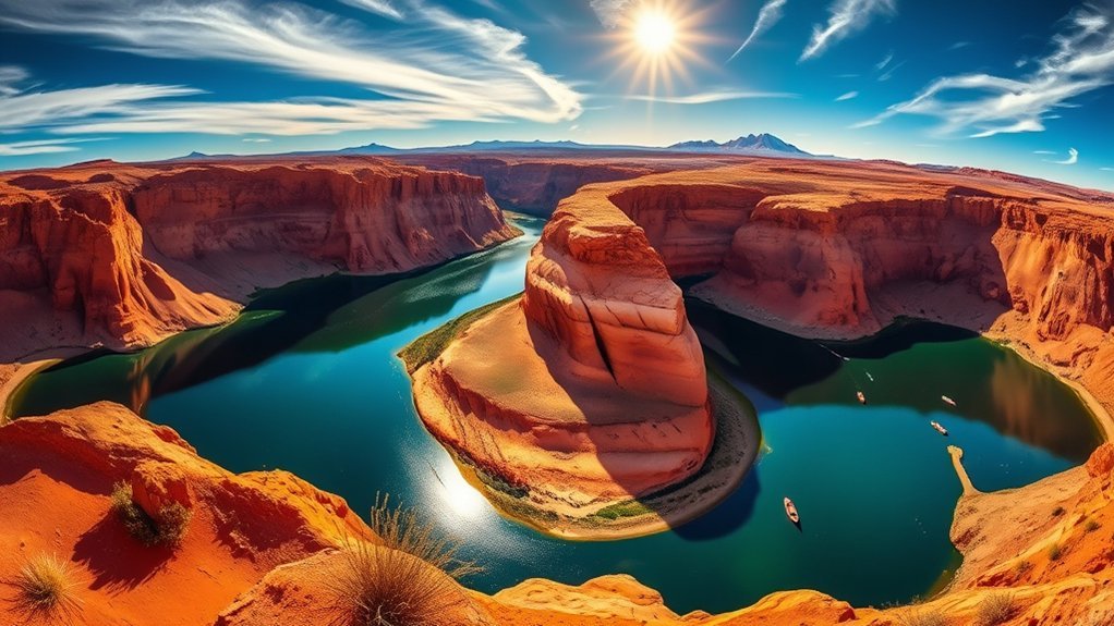
Page, Arizona packs an unusual amount of canyon country into a small base: Horseshoe Bend, guided Antelope Canyon tours, Lake Powell, Glen Canyon Dam, desert hikes, smooth-water Colorado River trips, dark skies, and easy day trips toward Marble Canyon and Vermilion Cliffs. The scenery is spectacular, but permits, tribal rules, summer heat, flash floods, and changing Lake Powell water levels can affect your plans, so a little preparation makes a big difference.
Quick Answer
The best things to do in Page, Arizona include Horseshoe Bend, a guided Antelope Canyon tour, Lake Powell, Glen Canyon Dam, Hanging Gardens, Lees Ferry, Navajo Bridge, stargazing, and a smooth-water Colorado River trip. Reserve Antelope Canyon first, then build your schedule around weather, lake levels, permits, and daylight.
Key Takeaways
- Antelope Canyon requires an authorized guide, so book that timed reservation before arranging the rest of your day.
- Horseshoe Bend is a 1.5-mile round-trip walk, and its City of Page parking fee is separate from National Park Service passes.
- Lake Powell access changes with water level, so check current boat-ramp and facility status shortly before going.
- Rainbow Bridge access is currently complicated by low water; do not plan it as a routine boat-and-hike outing without checking the latest NPS notice.
- Heat and flash floods are serious desert hazards. Start hikes early, carry ample water, and stay out of washes and slot canyons when storms are possible.
Plan Your Page, Arizona Trip Before You Go
Page sits among lands managed by several different authorities, so one pass or permit does not cover everything. National Park Service rules apply in Glen Canyon National Recreation Area, Antelope Canyon is on Navajo Nation land, Vermilion Cliffs and Paria Canyon include Bureau of Land Management areas, and the Horseshoe Bend parking lot is managed by the City of Page.
| Activity | What to Check |
|---|---|
| Antelope Canyon | Authorized guided tour, check-in time, weather policy, accessibility, and allowed gear |
| Horseshoe Bend | Current City parking fee and operating hours |
| Lake Powell | Current water level, launch ramps, marina services, wind, and weather |
| Rainbow Bridge | Same-day NPS access notice before committing to the trip |
| Paria Canyon / Coyote Buttes | Correct BLM permit for the exact area and trip type |
Start with the Glen Canyon current conditions page and the Navajo Nation Antelope Canyon tour-operator list. Lake Powell visitors should also check the NPS changing lake levels information before launching or planning a shoreline route.
Warning: Desert heat and flash floods can become dangerous quickly. Glen Canyon has long stretches with little shade or drinking water, and NPS advises avoiding washes and canyons when flash flooding is possible. Carry more water than you expect to need and check the forecast before hiking.
Sunrise at Horseshoe Bend
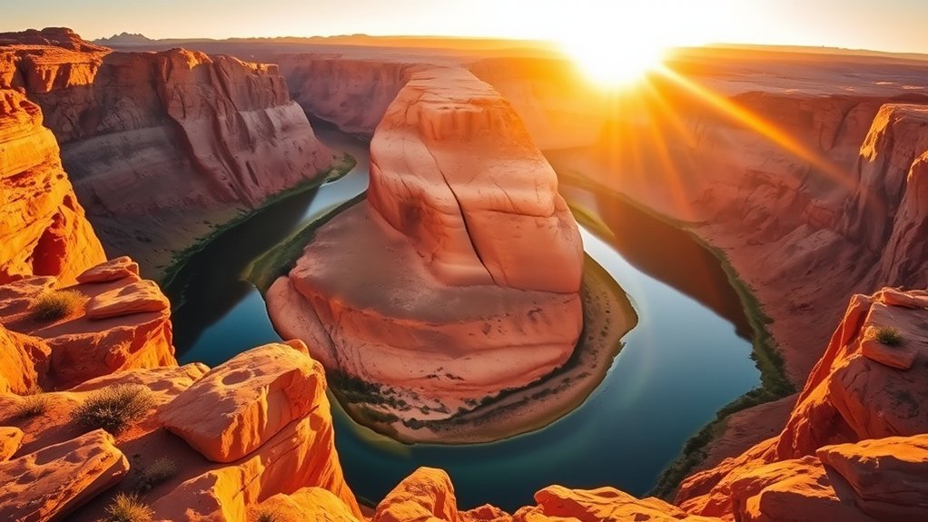
Horseshoe Bend is one of Page’s essential stops, but do not rely on old advice telling you to use the parking area before dawn. The City of Page currently lists the attraction as open from sunrise to sunset, with times subject to change. Check current hours and arrive close to opening if you want the quietest early light.
The official trail is 1.5 miles round trip on a hardened route from the parking area to the rim. There is little shade and no water along the trail, so even a short outing can feel demanding in hot weather. The accessible viewing platform has a safety railing, but much of the surrounding rim remains exposed. Keep children close and stay well back from unprotected edges.
Morning light can produce softer contrast than the middle of the day. A phone or handheld camera is enough for most visitors. Bring water, sturdy footwear, sunscreen, and a light layer if the morning is windy. See the NPS Horseshoe Bend guidance before your visit.
Note: Horseshoe Bend itself lies within Glen Canyon National Recreation Area, but the parking lot is operated by the City of Page. America the Beautiful and Glen Canyon passes do not cover the City parking fee.
Take a Guided Tour of Antelope Canyon
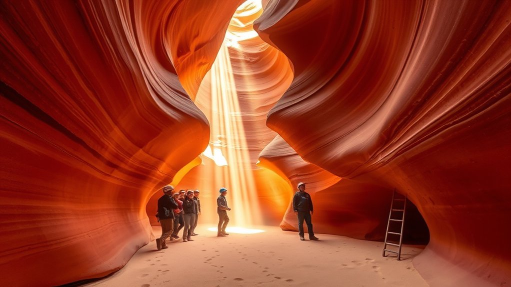
Antelope Canyon is on Navajo Nation land, and visitors must enter with an authorized guide. The Navajo Nation Parks and Recreation Department maintains a list of approved operators.
Upper and Lower Antelope Canyon offer different walking experiences. Upper Antelope generally has a wider canyon floor, while Lower Antelope involves tighter passages and more stairs. Weather matters at both locations because slot canyons can close when conditions create a flash-flood risk.
Reserve well ahead for busy travel dates and read your operator’s rules before leaving your hotel. Bag restrictions, check-in deadlines, footwear requirements, mobility limitations, and camera policies can differ by operator. Famous shafts of light are also seasonal and dependent on sun angle and atmospheric conditions, so never treat them as guaranteed.
Pro Tip: Book Antelope Canyon first. It is the activity on this list most likely to dictate an exact time, so you can fit Horseshoe Bend, Glen Canyon Dam, and overlooks around it.
Visit Glen Canyon Dam and Carl Hayden Visitor Center
Before heading onto Lake Powell, stop at the Carl Hayden Visitor Center beside Glen Canyon Dam. It is a useful place to understand how Glen Canyon, the Colorado River, and Lake Powell fit together, and it gives you an easy orientation point for the wider recreation area.
Nearby, the Glen Canyon Dam Overlook provides another perspective from below the mesa. NPS describes the short route as steep and uneven in places, with intermittent handrails and exposed cliff edges. It is a quick scenic stop rather than a flat paved stroll. Check the official Glen Canyon day-hike page for current trail information.
Take a Boat Tour on Lake Powell
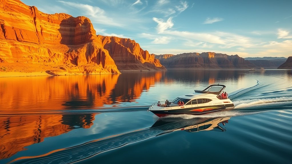
A boat trip gives you a scale of Lake Powell that overlooks cannot. Sandstone walls rise directly from the reservoir, side canyons branch away from the main channel, and changing water levels continually reshape the visible shoreline.
NPS currently lists authorized boat-tour options from the Page area through Lake Powell concessioners. Routes, durations, docks, and departure points can change, so choose the experience based on the itinerary offered for your actual travel date rather than an old description online. See the NPS guided-tour directory.
If you are operating your own boat instead, check current ramp and marina status before leaving. Lake levels can affect which ramps accommodate motorized vessels, and on-lake services may change.
Kayak Glen Canyon and Lake Powell
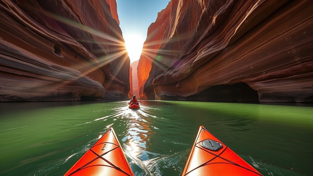
Kayaking slows the landscape down. You can explore shoreline alcoves and sandstone walls without the noise or speed of a powerboat, and the National Park Service specifically recommends kayaking as a way to experience both Lake Powell and the Colorado River.
Wind is one of the biggest planning factors. Open water that feels easy early in the day can become tiring when afternoon winds develop. Check the forecast, stay within your experience level, carry a properly fitted personal flotation device, protect your phone and essentials in a dry bag, and tell someone where you are going.
Rental and guided options are available in the Page/Lake Powell area, but launch locations change with lake conditions. Confirm where your outfitter expects you to meet and whether the planned route requires a shuttle or backhaul.
Check Access Before Visiting Rainbow Bridge National Monument
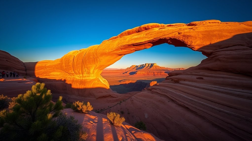
Rainbow Bridge National Monument is one of the largest known natural bridges in the world and is culturally significant to neighboring Native American communities. It is also remote, and current access is not as simple as older Lake Powell guides suggest.
As of the current 2026 NPS guidance, the courtesy dock does not reach land because of low lake levels. One NPS notice states that the monument is currently inaccessible by boat, while its detailed visitor information warns that anyone attempting to beach a small boat or cross the exposed shoreline does so at their own risk. Conditions can change with lake elevation.
Warning: Do not build your itinerary around a routine Rainbow Bridge boat-and-hike trip without checking the current NPS Rainbow Bridge access notice shortly before departure.
Overland access is also a serious backcountry undertaking. NPS describes a 14-plus-mile route across Navajo Nation land, which requires a Navajo Nation permit. Rainbow Bridge is sacred to several tribes, so visit quietly, stay on the established route, and follow all cultural and site-protection guidance.
Explore Vermilion Cliffs National Monument
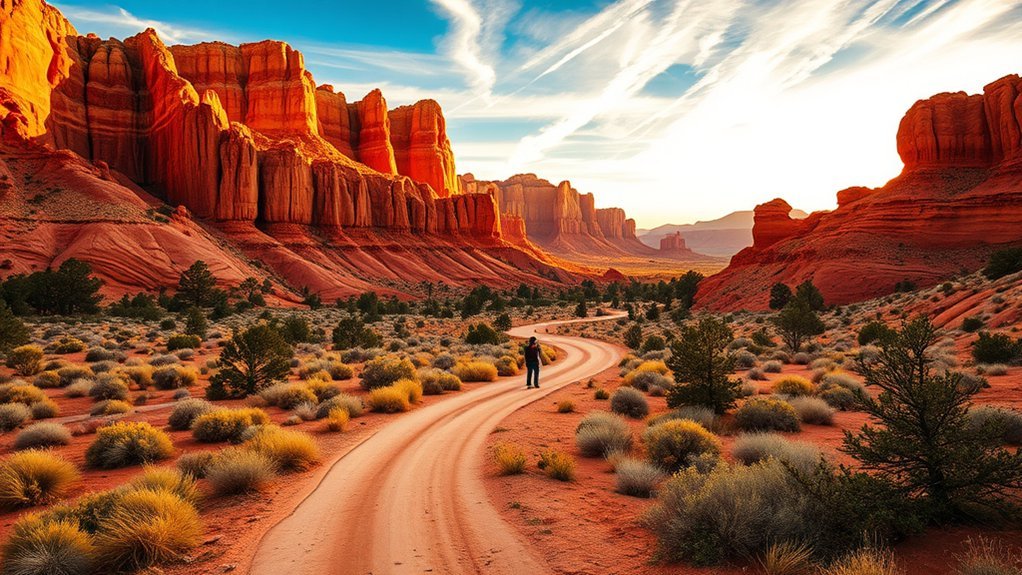
Vermilion Cliffs National Monument protects a vast remote landscape of cliffs, plateaus, canyons, and formations such as Coyote Buttes. The area rewards careful preparation more than spontaneous sightseeing. BLM warns that many roads are rough and that high-clearance four-wheel-drive vehicles may be needed in deep sand or wet conditions.
Look for California Condors
One of the region’s standout wildlife experiences is the chance to see California condors. BLM maintains a designated Condor Viewing Site near Vermilion Cliffs, and binoculars or a spotting scope are far more useful than approaching wildlife.
Other desert wildlife may appear, but sightings are never guaranteed. Give every animal space, avoid nesting areas, and keep food secured. Visit the BLM Condor Viewing Site page for current access information.
Use Scenic Roads Carefully
The monument’s unpaved roads can deliver huge views, but they are not conventional scenic highways. House Rock Valley Road and other backcountry routes can become difficult or impassable after rain. A high-clearance vehicle, full fuel tank, offline map, water, and a weather check are sensible essentials.
- Stop only where parking will not block the road.
- Do not drive onto fragile biological soil crust.
- Expect limited or absent cell service.
- Turn around before road conditions exceed your vehicle or experience.
Hike Remote Routes With a Navigation Plan
Many Vermilion Cliffs outings are routes rather than groomed trails. Carry an offline map or GPS plus a backup navigation method, and know which permit area you are entering. Coyote Buttes North and South have separate permit systems, while Paria Canyon has its own rules.
Start early, carry ample water, avoid narrow drainages when storms threaten, and protect fragile desert surfaces. The BLM Vermilion Cliffs page is the best starting point for current conditions and regulations.
Drive to Marble Canyon and Navajo Bridge
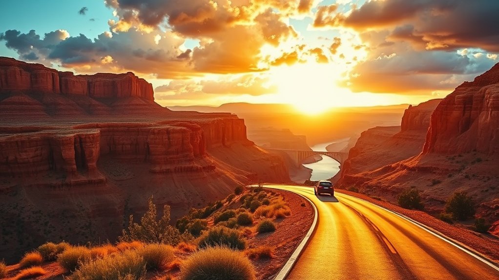
The drive from Page toward Marble Canyon is worth doing even if Lees Ferry is not your final destination. Follow U.S. 89 south and U.S. 89A west toward Navajo Bridge, where you can walk across the historic bridge area and look into the Colorado River gorge.
Stop at Navajo Bridge Interpretive Center
The Navajo Bridge Interpretive Center sits near the turnoff to Lees Ferry and provides context for the crossing of Marble Canyon. The original bridge transformed transportation through this remote part of northern Arizona, and today the site gives visitors an easy view into the river corridor.
Use designated parking and signed pullouts instead of stopping on narrow shoulders. Wind can be strong on exposed bridge areas, so keep hats and loose items secure.
Photograph the Painted Cliffs
Early and late light can bring out the layered reds, creams, and grays of the surrounding cliffs. You do not need specialized equipment. A phone or handheld camera works well from designated viewpoints, while a telephoto lens can isolate rock layers or distant birds.
If you photograph near roads, remain fully outside traffic lanes and never step backward into a roadway while composing a shot.
Read the Landscape as You Drive
The route crosses exposed layers of the Colorado Plateau, and the changing rock color makes the drive feel like a moving geology lesson. Navajo Bridge and Lees Ferry add the river story: erosion, uplift, and the Colorado River shaped the canyon corridor that determined where people could cross.
- Layered sandstone and limestone cliffs
- Broad desert benches between canyon walls
- Colorado River views from Navajo Bridge
- Vermilion Cliffs rising west of the highway
- Historic river-crossing landscapes around Lees Ferry
Visit Lone Rock Beach
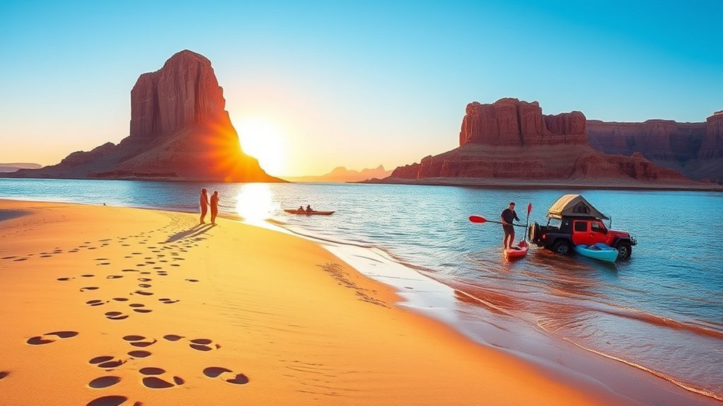
Lone Rock Beach remains one of the most recognizable Lake Powell shoreline areas. NPS currently lists day use and primitive camping as open, but the exact shoreline and driving surface change with lake level.
The beach supports a mix of camping, swimming, paddling, shoreline vehicle access, and designated off-road use. Do not assume that every patch of sand is safe for a passenger car. Follow posted vehicle routes, watch for soft sand, and check current conditions before driving close to the water.
There are no lifeguards at Lake Powell. NPS requires children age 12 and younger to wear a life jacket at marinas, on vessels, and in Lake Powell waters, and recommends keeping one on children while they play at the beach. Read the official Lone Rock Beach information before going.
Photography at Upper Antelope Canyon
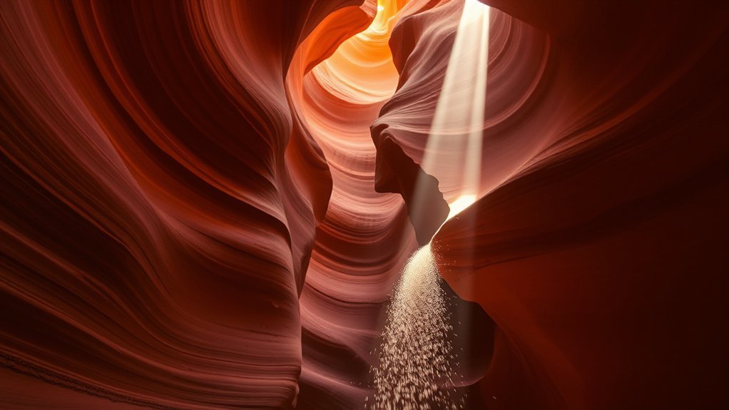
Upper Antelope Canyon is famous for smooth sandstone walls and shafts of direct light, but photography rules are much stricter than many older guides suggest. Standard sightseeing tours from major operators prohibit tripods and monopods, so plan to shoot handheld.
A wide phone lens or compact wide-angle camera works well in the confined space. Keep your shutter speed high enough to avoid blur, expose carefully for bright highlights, and avoid changing lenses in blowing sand. Light beams are strongest only under suitable seasonal sun angles and weather, so focus on the canyon’s shapes and color rather than treating beams as a guaranteed shot.
- Use handheld stabilization or brace your elbows against your body.
- Avoid blocking the group while composing.
- Follow your guide’s instructions immediately.
- Check your operator’s current bag and camera rules before arrival.
- Protect camera equipment from fine blowing sand.
See your booked operator’s policies before visiting. One current Upper Antelope operator publishes its restrictions at Antelope Canyon Tours FAQ.
Watch Sunset From Wahweap Overlook
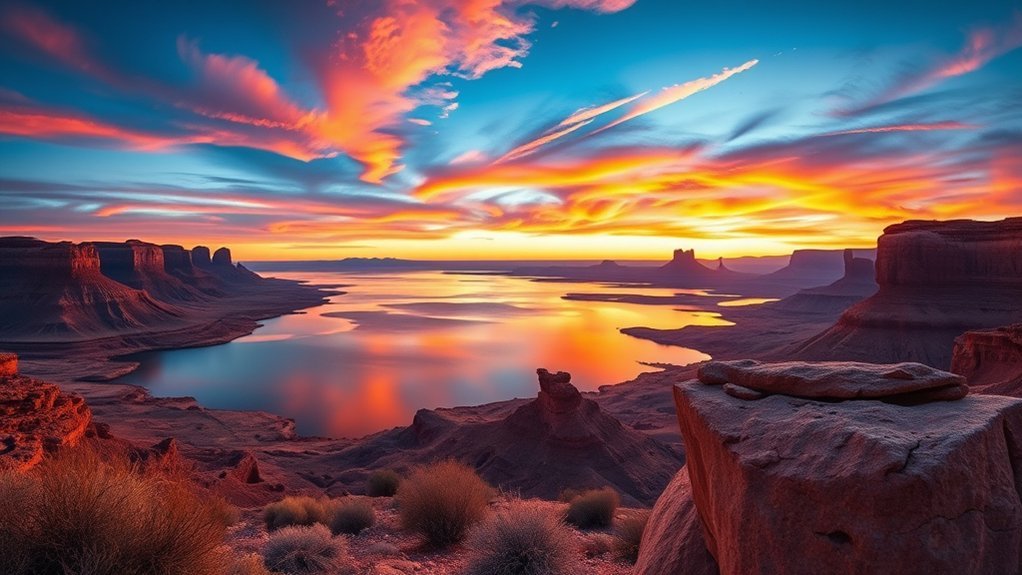
Wahweap Overlook gives you a broad look across Lake Powell, distant mesas, and the surrounding desert. It is an easy choice when you want a sunset view without committing to another long hike.
Choose a Safe Established Viewpoint
Use established parking and overlooks rather than searching for an unofficial cliff-edge perch. A slightly less dramatic composition is a better trade than loose footing near an exposed rim.
- Wide lake-and-mesa panoramas
- Telephoto views of distant sandstone
- Reflected evening light on open water
- Silhouettes of low desert vegetation
Arrive Before Sunset
Arriving 30 to 45 minutes before sunset gives you time to park, choose a viewpoint, and watch the light change. Stay through the best color only where hours and site rules allow. Carry a flashlight or headlamp if your walk back could extend into dim light.
Watch the Rim and Parking Areas
Keep children away from unprotected edges, wear shoes with reliable traction, and stay alert for vehicles when walking between viewpoints. Larger RVs and trailers need more room to turn, so use designated areas appropriate for the vehicle.
Take an Authorized Off-Road Desert Tour

A guided four-wheel-drive tour can reach terrain around Page that would be unwise to attempt in a rental sedan. Depending on the operator and permitted route, trips may include sandy tracks, sandstone formations, viewpoints, or remote cultural and geological sites.
Choose an operator authorized for the land it enters. Routes crossing Navajo Nation, NPS, or BLM land can have different permit requirements and restrictions. Ask where the trip goes, how much walking is involved, whether the vehicle is enclosed or open, and what happens if weather makes a dirt road unsafe.
Bring closed-toe shoes, water, sun protection, and a secure camera strap. Morning tours are generally more comfortable during hot weather, but road conditions and storm forecasts matter more than the clock.
Go Stargazing at Glen Canyon National Recreation Area
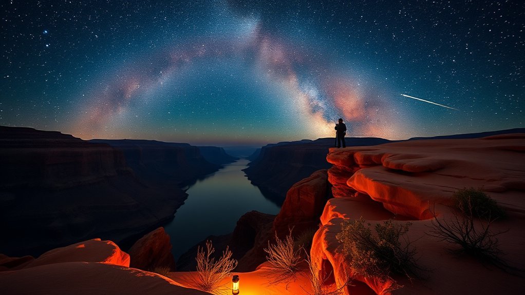
Glen Canyon National Recreation Area protects exceptionally dark night skies away from Page’s main lights. The National Park Service highlights the area as an excellent place to see stars and the Milky Way.
Choose an Open, Legal Viewing Area
Pick an established shoreline, campground, or legal pullout with an open horizon and safe footing. Arrive while there is still enough light to understand the terrain. Avoid wandering near cliff edges after dark.
- Bring a reclining chair or blanket.
- Use a red-light headlamp to preserve night vision.
- Reduce phone-screen brightness.
- Carry warm layers even after a hot day.
- Tell someone where you are going when visiting a remote location.
Choose the Night for What You Want to See
There is no single best stargazing season. A new moon or moonless portion of the night produces the darkest background. The Milky Way’s bright central region is most prominent during the warmer part of the year, while spring and fall often give a comfortable balance between darkness and temperature. Winter can bring very clear skies but colder conditions.
Check moonrise, moonset, cloud cover, and your target constellation rather than relying on a blanket “best month” rule.
Pack for a Remote Desert Night
Carry water, sturdy shoes, layered clothing, spare batteries, and a red-light headlamp. Stay on known routes, avoid cliffs and drop-offs, and assume cell service may fail. See the NPS night-sky information for more background.
Experience Navajo Culture in Page
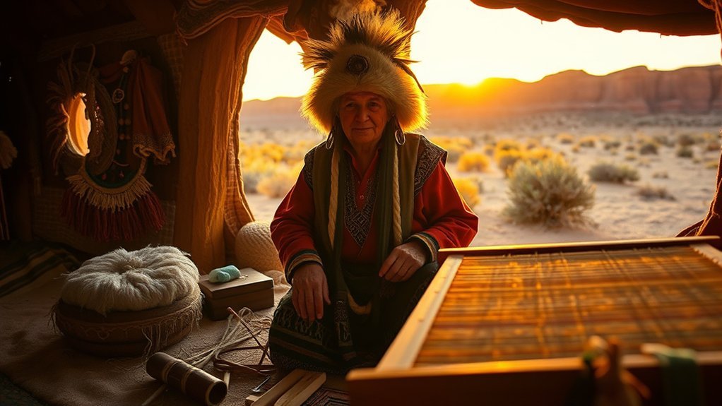
Older Page travel guides often recommend the Navajo Village Heritage Center, but current listings report that attraction closed. Do not build your schedule around it without independent confirmation.
A currently operating alternative is Red Heritage, a Navajo-owned cultural dinner theater in Page featuring Native American performance. Check its current schedule and ticket availability before visiting.
Whichever cultural experience you choose, approach it as an opportunity to listen rather than a staged backdrop for photographs. Ask before photographing performers or artisans, follow rules around ceremonies and cultural material, and support Native-owned businesses when possible.
Hike the Hanging Gardens Trail
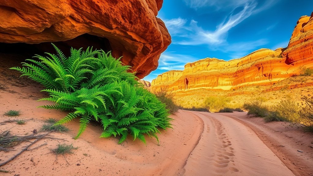
Hanging Gardens gives you a different side of Glen Canyon. Water moving through Navajo sandstone reaches the surface as a seep and supports an unusually green pocket of plant life in the desert.
NPS currently lists the hike as 1.5 miles round trip and rates it moderate. The route is not a continuous shady walk and should not be described as a miniature waterfall trail. Expect exposed desert travel before reaching the vegetation around the seep.
- Carry water even on this relatively short hike.
- Wear shoes suitable for sand and rock.
- Do not trample vegetation around the seep.
- Avoid hiking during the hottest part of a summer day.
- Check the forecast before entering any drainage.
Current directions and trail information are on the NPS Glen Canyon day-hikes page.
Take a Smooth-Water Raft Trip on the Colorado River
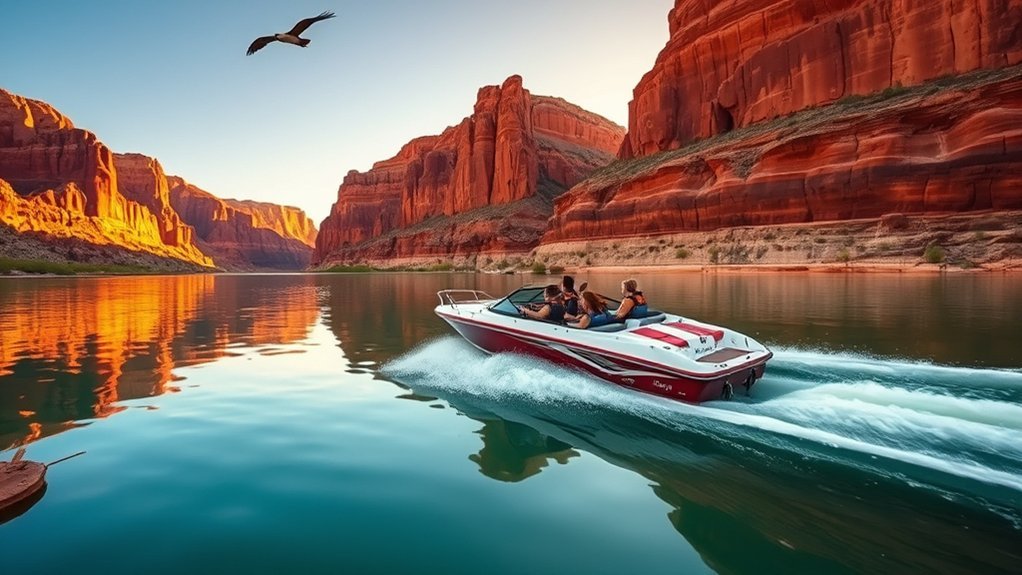
The classic river experience near Page is not a jet boat blasting through whitewater. The stretch of the Colorado River between Glen Canyon Dam and Lees Ferry is known for relatively steady, cold water beneath towering canyon walls, and NPS currently lists authorized smooth-water raft trips in this reach.
Enjoy the Canyon From River Level
A smooth-water trip trades whitewater adrenaline for a close view of the canyon. From river level, the walls feel far larger than they do from Horseshoe Bend, and the pace leaves time for geology, wildlife, and photography.
Exact launch points, transportation arrangements, stops, and schedules depend on the authorized outfitter. Use the NPS guided-tour page to identify current providers.
Prepare for Cold Water and Canyon Shade
The river below Glen Canyon Dam stays much colder than the surrounding desert air. Bring sun protection for exposed sections and a light layer for shaded or windy portions of the trip. Secure electronics and follow the outfitter’s personal-flotation-device instructions.
Watch the Cliffs, River, and Wildlife
Guides can help you understand the rock layers, river ecology, historic sites, and wildlife of the corridor. Bring binoculars if birding matters to you, but do not expect any particular species on command.
Note: Dangerous rapids lie downstream beyond the restricted area below Lees Ferry and are part of Grand Canyon river travel, not the ordinary smooth-water Page-area sightseeing trip.
Explore Paria Canyon–Vermilion Cliffs Wilderness
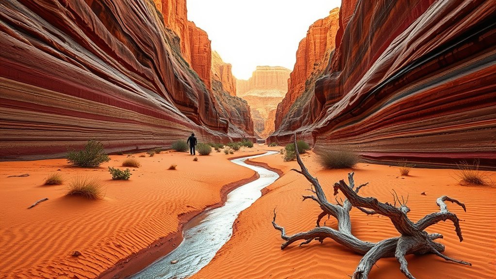
Paria Canyon offers serious backcountry hiking through a remote desert river corridor. It is not a casual extension of an Antelope Canyon tour. Expect mud, water crossings, deep sand, route finding, limited communication, and potential flash-flood danger.
Permits depend on what you are doing. BLM currently requires a day-use permit for Paria Canyon, while overnight travel requires an advance permit and is subject to a visitor limit. Coyote Buttes North and Coyote Buttes South use separate permit systems.
Review the BLM Paria Canyon permit page before traveling. Never enter a narrow canyon when storms are possible anywhere in the drainage.
Take a Quiet Break at Page Public Library

Page Public Library is a practical indoor stop when you need a break from heat, wind, or a packed sightseeing schedule. The City of Page continues to use the library for community programming and public events.
Use the library as a place to read, reset, research the region, or check the City calendar. Do not assume a particular art exhibit or lecture will be running on your travel date. Programs change, so check the City of Page website for current happenings.
Take a Scenic Flight From Page
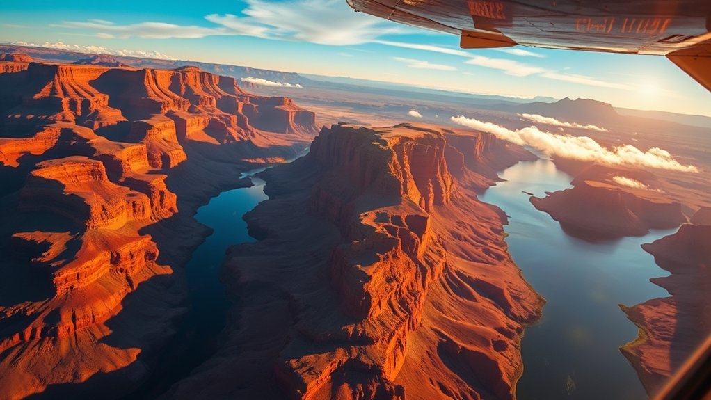
A scenic flight can show how Lake Powell, Glen Canyon, desert mesas, and distant canyon systems fit together. The City of Page currently lists several air-tour and charter operators at Page Municipal Airport.
Confirm the Route Before Booking
Do not assume every flight marketed from Page covers the same landmarks. Some routes focus on Lake Powell or nearby canyon country, while others may include broader Grand Circle or Grand Canyon scenery. Ask for the exact route, flight duration, aircraft type, and cancellation policy.
Morning departures can sometimes offer smoother air, but weather always controls operations. If motion sickness is a concern, ask the operator about aircraft type and what preparation it recommends.
Compare Aircraft and Visibility
Fixed-wing airplanes and helicopters provide different viewing experiences. Check whether every passenger has a window, whether seating is assigned by weight and balance, and what photography restrictions apply.
The City of Page airport page is a useful current source for operators based at or serving the airport.
Bike Page’s Desert Trails Where Cycling Is Allowed

Page has a network of municipal trails and open desert routes, but cycling rules vary by land manager. Use official maps rather than assuming every hiking path or wilderness route permits bicycles.
The City of Page Parks and Trails department publishes maps for local trails, including the Rim Trail and Red Mesa Rim Trail. Confirm current permitted uses before riding.
Expect hard-packed dirt, loose sand, exposed rock, and very little shade. Carry more water than a comparable ride in a cooler climate, bring a repair kit, and use tubeless or puncture-resistant equipment if appropriate for your bike. Around Page, think sandstone, low desert scrub, and open mesa rather than saguaro cactus scenery.
Visit Horseshoe Bend During Golden Hour
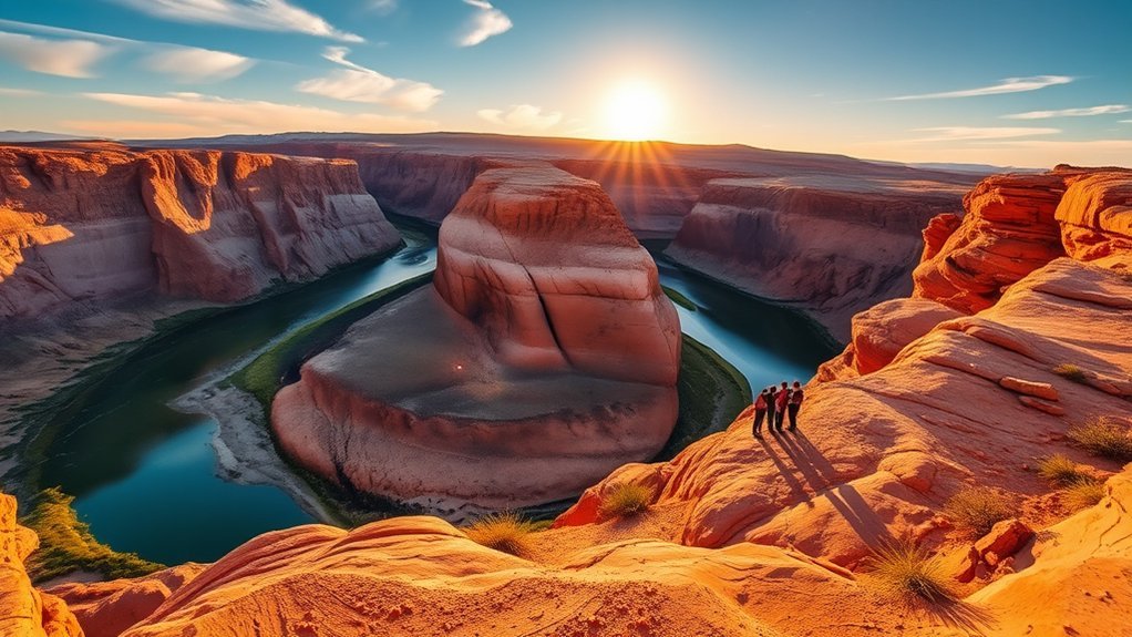
If sunrise does not fit your schedule, late-afternoon light gives Horseshoe Bend a very different look. Arrive early enough to complete the 1.5-mile round trip within current operating hours and give yourself time to find a safe viewpoint.
The low sun creates stronger contrast across the canyon walls, which can challenge phone cameras. Tap to expose for the brighter cliffs or use your device’s HDR setting. A small handheld camera is easier than carrying a full tripod through crowds.
Expect the evening period to be popular. Never move beyond barriers for a cleaner photograph, and remember that most of the rim remains exposed. The City currently lists the site as open from sunrise to sunset, so do not plan to remain for an extended blue-hour session after closing.
Enjoy a Picnic at Lone Rock
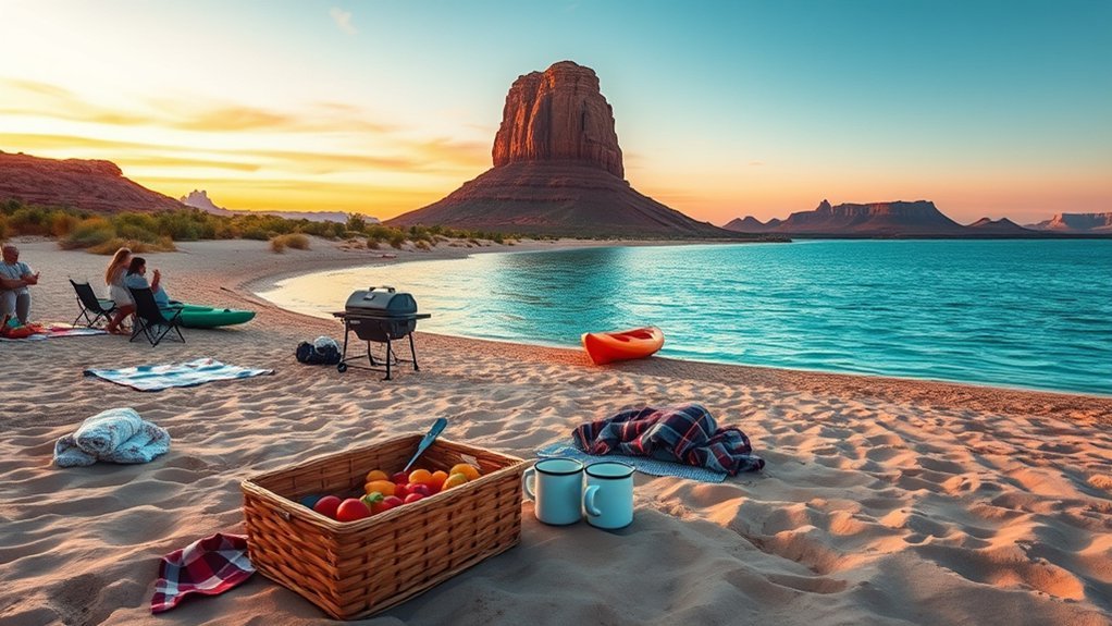
Lone Rock is an easy place to slow down between more structured activities. Bring a cooler, chairs or a blanket, shade, and enough drinking water for everyone in your group.
The shoreline changes with Lake Powell’s water level, so the best picnic location may be different from what you see in older photographs. Park only where your vehicle can safely reach firm ground and where NPS rules allow. Do not drive into vegetation or create a new track simply to reach the water.
- Use a canopy that can be secured safely in wind.
- Keep food protected from wildlife.
- Supervise children closely around the water.
- Pack out every piece of trash.
- Check current fire restrictions before using any flame or stove.
Explore the Lees Ferry Area
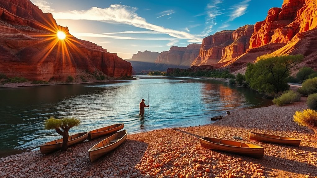
Lees Ferry is about 42 miles from Page by U.S. 89 and U.S. 89A and is one of the best places to combine Colorado River scenery, history, fishing, and short walks. The paved access road begins near Navajo Bridge.
The river between Glen Canyon Dam and Lees Ferry is cold and clear and supports a well-known trout fishery. Anglers need the appropriate Arizona fishing license and should check current regulations before casting.
For walking, consider the historic River Trail or nearby Lonely Dell Ranch. Strong hikers can tackle Spencer Trail, a steep 4.4-mile round-trip climb with about 1,700 feet of elevation gain. Cathedral Wash offers another route, but it requires scrambling and should never be entered when flash flooding is possible.
Check the NPS Lees Ferry page and current alerts before driving down. If you are camping in 2026, also verify construction or campground closures because renovation work has affected part of the campground this season.
Look for Current Local Art and Craft Events
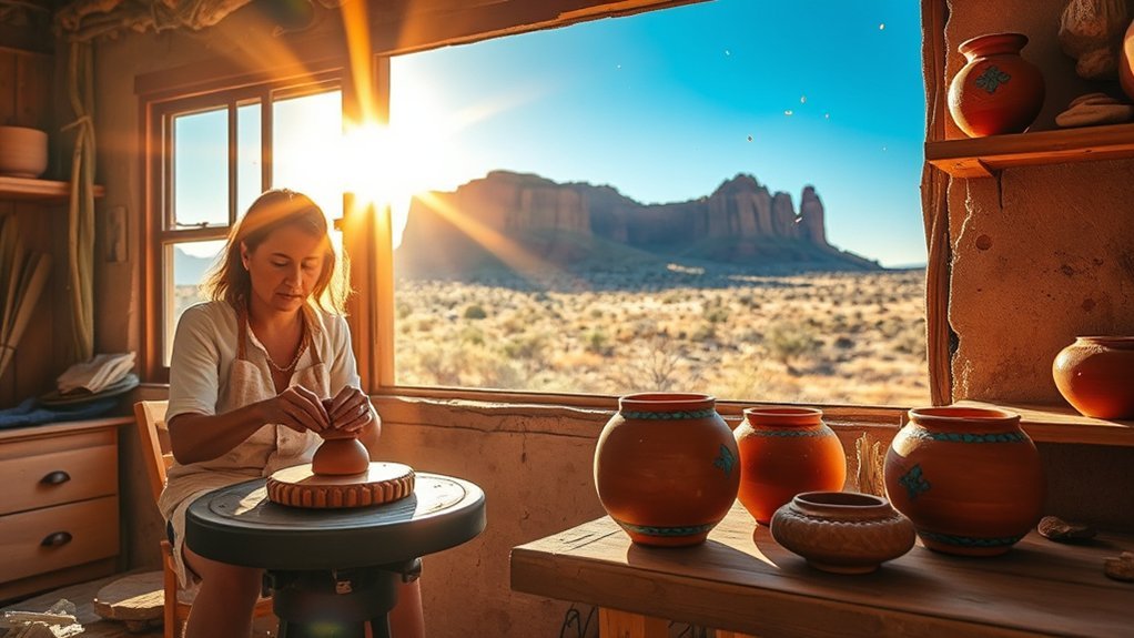
Art workshops can be a memorable break from hiking, but Page does not have a dependable year-round drop-in pottery program that should be promised without a current listing. Instead, check the City of Page events calendar, Page Public Library programming, cultural venues, and individual artists for workshops running during your actual travel dates.
Community arts events in Page can include demonstrations, vendor markets, family activities, and temporary classes. If you find a Native arts workshop, verify who is teaching it and whether the motifs or techniques being used are culturally appropriate to reproduce.
Reserve ahead when a class is scheduled. Small workshops often have limited capacity, and pottery pieces may require firing that cannot be completed before a short visitor leaves town.
Go Birdwatching Along the River and Shorelines
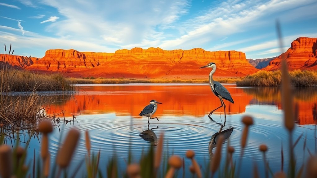
The freshwater shorelines of Lake Powell and the Colorado River corridor support a surprising variety of birds in an otherwise dry landscape. NPS notes that the Lees Ferry area is part of a Globally Important Bird Area recognized for its biodiversity and conservation value.
Bring binoculars and scan open water, riparian vegetation, cliff ledges, and shallow shoreline habitat. Early morning is usually comfortable for both birds and birders, while evening can provide another active period.
Species change with season, migration, water level, and habitat conditions, so use a current birding checklist rather than expecting a fixed set of birds. Stay clear of nests, use quiet voices, keep pets controlled where permitted, and never approach wildlife to improve a photograph.
For regional context, see the NPS Glen Canyon bird information.
Shop Carefully for Navajo and Hopi Jewelry
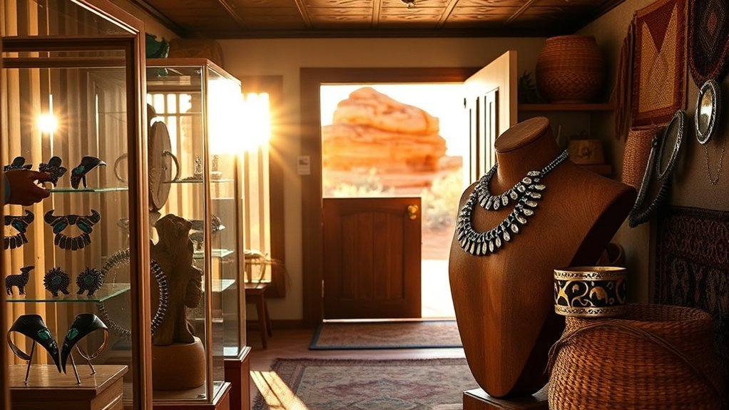
Page is a good place to encounter Navajo and other Native American arts, but appearance alone cannot prove that a piece is Native-made. Federal law prohibits falsely marketing art or craftwork as Native American or as the product of a particular tribe when it was not made by a qualifying Native artist.
The U.S. Department of the Interior’s Indian Arts and Crafts Board recommends buying from reputable sellers and asking for written verification of authenticity. For a significant purchase, request a receipt that identifies the maker and tribal affiliation.
- Ask who made the piece.
- Ask the artist’s tribal affiliation.
- Request written authenticity information.
- Keep the receipt with the artist’s name and purchase details.
- Do not assume turquoise, silver, stamping, or a Southwestern motif proves provenance.
Read the Indian Arts and Crafts Board consumer tips before making an expensive purchase. Buying directly from an identified artist or a reputable Native-owned business is one of the clearest ways to support the people producing the work.
Frequently Asked Questions
Are drones allowed at Horseshoe Bend and Glen Canyon?
No for ordinary recreational use on National Park Service-administered lands and waters. NPS prohibits launching, landing, or operating uncrewed aircraft within Glen Canyon National Recreation Area and Rainbow Bridge National Monument unless specifically authorized. Navajo Nation Parks also prohibits drones in its park areas, so Antelope Canyon is not a recreational drone location either.
Do I need a national park pass for Antelope Canyon tours?
No. Antelope Canyon is on Navajo Nation land and entry is through an authorized guided tour. Your tour price and Navajo Nation fees are separate from National Park Service entrance passes.
Is a guide required for Antelope Canyon?
Yes. Navajo Nation Parks and Recreation states that tour guides are mandatory for Antelope Canyon locations. Reserve through an authorized operator rather than attempting to enter independently.
Does an America the Beautiful pass cover Horseshoe Bend parking?
No. The overlook is within Glen Canyon National Recreation Area, but the parking lot is operated by the City of Page. NPS states that America the Beautiful and Glen Canyon passes are not accepted for the City parking fee.
Where can I charge an electric vehicle in Page?
Charging locations and operating status can change. Before your trip, use the U.S. Department of Energy Alternative Fueling Station Locator and your vehicle’s charging app to confirm connector type, charging speed, access hours, and current availability.
Are service animals allowed on guided boat and canyon tours?
Rules depend on the land manager and operator. Qualifying service animals are allowed in National Park Service areas, but Navajo Nation and individual Antelope Canyon tour rules can differ, and some current Upper Antelope operators state that animals, including service animals, cannot join their tours. Contact the exact operator before booking so accessibility arrangements can be confirmed.
Can I currently visit Rainbow Bridge by boat?
Normal boat access is currently disrupted by low Lake Powell water levels. NPS says the courtesy dock does not reach land and advises visitors to check current access conditions before attempting the trip. Do not assume that an older tour description is still workable.
What is the nearest emergency medical facility in Page?
Banner Page Hospital Emergency Room at 501 N Navajo Road provides 24-hour emergency services. For a life-threatening emergency, call 911 rather than trying to drive a long distance for care.
Conclusion
Page works best when you combine a few famous sights with the practical realities of canyon country. Reserve your Antelope Canyon tour first, check current access before heading onto Lake Powell or toward Rainbow Bridge, and give Horseshoe Bend, Glen Canyon Dam, Hanging Gardens, Navajo Bridge, and Lees Ferry enough time to enjoy without rushing.
Carry water, avoid exposed hikes in extreme heat, never enter a slot canyon or wash when flash flooding is possible, and respect the different rules governing Navajo Nation, NPS, BLM, and City lands. With those basics handled, Page gives you an exceptional mix of geology, water, culture, wildlife, and dark skies in a remarkably compact area.
Sources
- National Park Service: Glen Canyon Day Hikes — Horseshoe Bend distance, Hanging Gardens, desert hiking safety, and Lees Ferry-area trails.
- Navajo Nation Parks and Recreation: Antelope Canyon Tour Operators — mandatory guided access and authorized operators.
- National Park Service: Changing Lake Levels at Lake Powell — current access, ramps, facilities, and effects of changing lake elevation.
- National Park Service: Rainbow Bridge Basic Information — current low-water access, trail, and Navajo Nation permit information.
- Bureau of Land Management: Paria Canyon Permits — day-use and overnight permit requirements.
- U.S. Department of the Interior: Indian Arts and Crafts Board Consumer Tips — guidance for verifying authentic Native American art and jewelry.