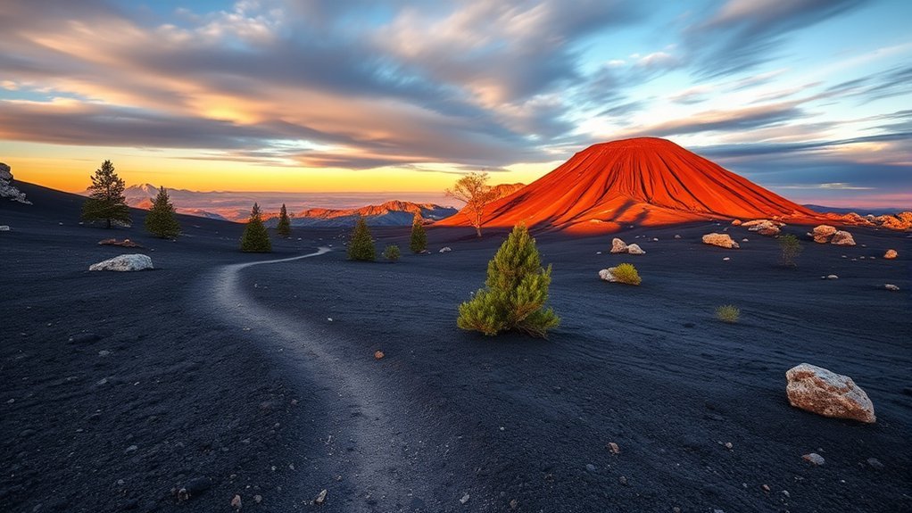
When you first step out onto the cinder fields of Sunset Crater Volcano National Monument, the dark basalt and oxidized red rims look like a fresh eruption frozen mid-motion. Formed by dramatic explosive eruptions in the late 11th century (around 1085 CE), this 1,120-foot cinder cone offers an accessible window into dynamic volcanism and ecological recovery. While planning your route, fees, and trail choices, there is one crucial access rule that surprises many first-time visitors: hiking to the summit of Sunset Crater itself has been strictly prohibited since 1973 to prevent irreversible erosion. However, adjacent trails and nearby cinder peaks allow you to experience this volcanic terrain up close without damaging its fragile landscape.
Quick Answer
Sunset Crater Volcano National Monument is located 19 miles north of Flagstaff, Arizona, off U.S. 89. Plan to spend 2 to 3 hours exploring the visitor center, the paved Bonito Vista Trail, and the Lava Flow Trail. A $20 vehicle entrance fee is valid for seven days and includes entry to neighboring Wupatki National Monument.
Key Takeaways
- Summit Access is Prohibited: Walking up the main Sunset Crater cinder cone was banned in 1973. Hike the 1.6-mile Lenox Crater Trail instead for panoramic crater-rim views.
- Two Parks, One Fee: The $20 standard vehicle entrance pass provides 7-day entry to both Sunset Crater Volcano and Wupatki National Monument.
- High Elevation Environment: Sitting at 7,000 feet (2,130 m), the monument requires sun protection, hydration, and caution regarding rapid weather shifts.
- Scenic Loop Connection: The 34-mile Sunset Crater–Wupatki Loop Road connects high-elevation pine forests to open Painted Desert vistas.
About the Monument and Its Geologic History
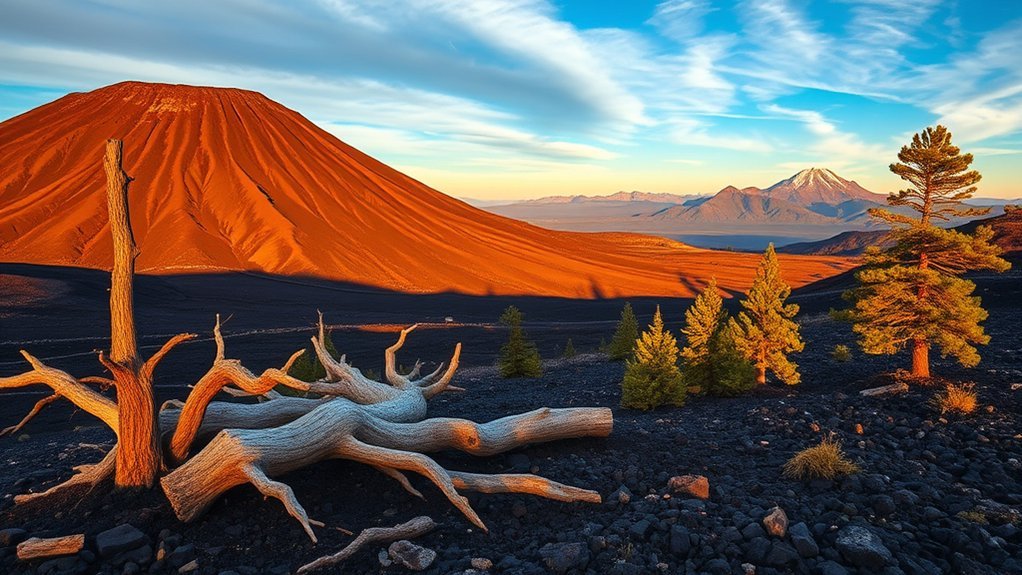
Sunset Crater represents the youngest cinder cone in the vast San Francisco Volcanic Field, a six-million-year-old volcanic expanse spanning over 1,800 square miles across northern Arizona. Geologic evidence indicates that the primary eruption began around 1085 CE, sending powerful curtains of fire and ash columns thousands of feet into the air. Over months of explosive activity, falling cinders, lapilli, and volcanic bombs built the 1,120-foot cone that dominates the skyline today.
During the final stages of the eruption, molten basalt breached the base of the cone, producing the Bonito Lava Flow. This massive flow crept 2.5 miles across the valley floor, creating jagged a’a lava beds, squeeze-ups, and collapsed lava tubes. The heat, ash fall, and forest fires forced local Ancestral Puebloan communities to evacuate their agricultural settlements. Today, the monument stands as a living laboratory documenting primary ecological succession and geological preservation.
Planning Your Visit: Hours, Fees, and Directions
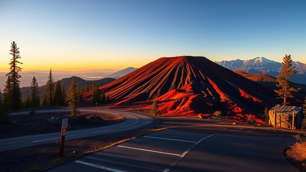
Sunset Crater Volcano National Monument is open year-round for day use. The park scenic road opens daily from sunrise to sunset, while visitor facilities operate on seasonal schedules. Because services are limited along the loop road, planning your arrival time, entrance passes, and transit route in advance ensures a smooth trip.
Hours and Seasonal Changes
The Sunset Crater Visitor Center operates standard daily hours from 9:00 AM to 4:30 PM (often extended to 5:00 PM during peak summer months) and is closed on Thanksgiving Day, Christmas Day (December 25), and New Year’s Day. Park rangers at the visitor center provide updated trail conditions, interpretive exhibits, Junior Ranger booklets, and weather advisories.
Weather at 7,000 feet changes rapidly across seasons:
- Spring (March–May): Variable temperatures with frequent high winds and occasional late-season snowfall.
- Summer (June–August): Warm days averaging 80°F to 85°F (27°C–29°C), accompanied by afternoon monsoon thunderstorms and lightning risks in July and August.
- Autumn (September–November): Mild, crisp days with clear skies, offering prime hiking conditions.
- Winter (December–February): Cold temperatures and regular snowfall, which can occasionally cause temporary road closures along higher elevations of the scenic loop.
Fees and Passes
Entrance fees are collected at the park entrance station or visitor center. The entry fee structure is:
- Private Vehicle: $20 (valid for 7 consecutive days at both Sunset Crater and Wupatki).
- Motorcycle: $15 (valid for 7 days).
- Individual (Bicycle / Pedestrian): $10 per person.
- Flagstaff Area Monuments Annual Pass: $40 (covers Sunset Crater, Wupatki, and Walnut Canyon for one full year).
- Interagency Passes: The America the Beautiful Pass series (Annual, Senior, Military, Access, and 4th Grade Passes) is fully honored.
Directions: From Flagstaff, drive north on U.S. Highway 89 for approximately 12 miles. Turn right onto the Sunset Crater–Wupatki Loop Road (Forest Road 545) and proceed 2 miles to the visitor center. No public transit serves the park; private passenger vehicles, tour buses, and bicycles are the primary modes of travel. Overnight parking and camping within the monument boundaries are strictly prohibited.
Pro Tip: Don’t turn around after visiting Sunset Crater. Continue along the 34-mile scenic loop through Wupatki National Monument to explore ancient multi-story pueblos before reconnecting with U.S. 89 further north.
Trails and Outdoor Activities
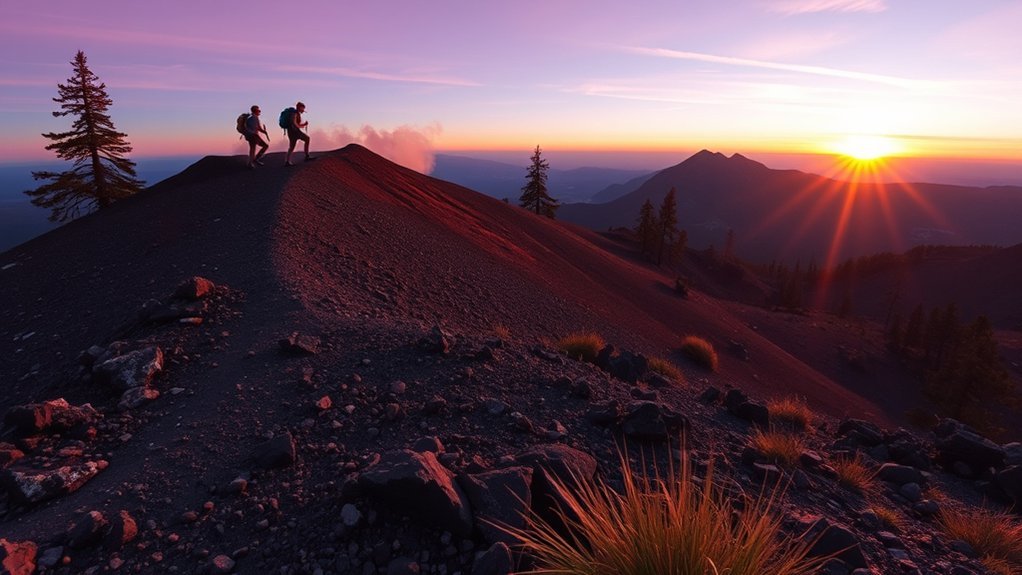
Sunset Crater Volcano offers five designated trails that allow visitors to inspect basalt flows, squeeze-up amphitheaters, and cinder slopes safely. Sticking strictly to established paths is mandatory to preserve the fragile volcanic landscape.
Warning: Climbing Sunset Crater itself is illegal under federal law. Walking on the loose cinders causes severe scarring and erosion. To experience a cinder cone climb, hike the designated Lenox Crater Trail.
- Lava Flow Trail (1.0-mile loop / 0.25-mile paved loop): The park’s signature hike. The lower paved loop is ADA-accessible and winds past the base of Sunset Crater, frozen basalt waves, and volcanic squeeze-ups. The unpaved upper loop climbs gently over rough cinders.
- Bonito Vista Trail (0.3 miles round-trip): A flat, paved, fully accessible path starting from the Lava Flow parking area that offers expansive views across the Bonito Lava Flow toward the San Francisco Peaks.
- Lenox Crater Trail (1.6 miles round-trip): A moderately strenuous trail that climbs 300 feet up a neighboring, older cinder cone. It rewards hikers with panoramic views of the Sunset Crater summit and surrounding pine forests.
- Lava’s Edge Trail (1.0 mile one-way / 2.0 miles round-trip): Connects the visitor center directly to the Lava Flow Trailhead, weaving through ponderosa pine groves along the jagged boundary of the Bonito Flow.
- A’a Trail (0.2 miles round-trip): A short, rugged spur located near the park entrance that highlights the rough, jagged surface textures characteristic of basaltic a’a lava.
Flora, Fauna, and Cultural Significance
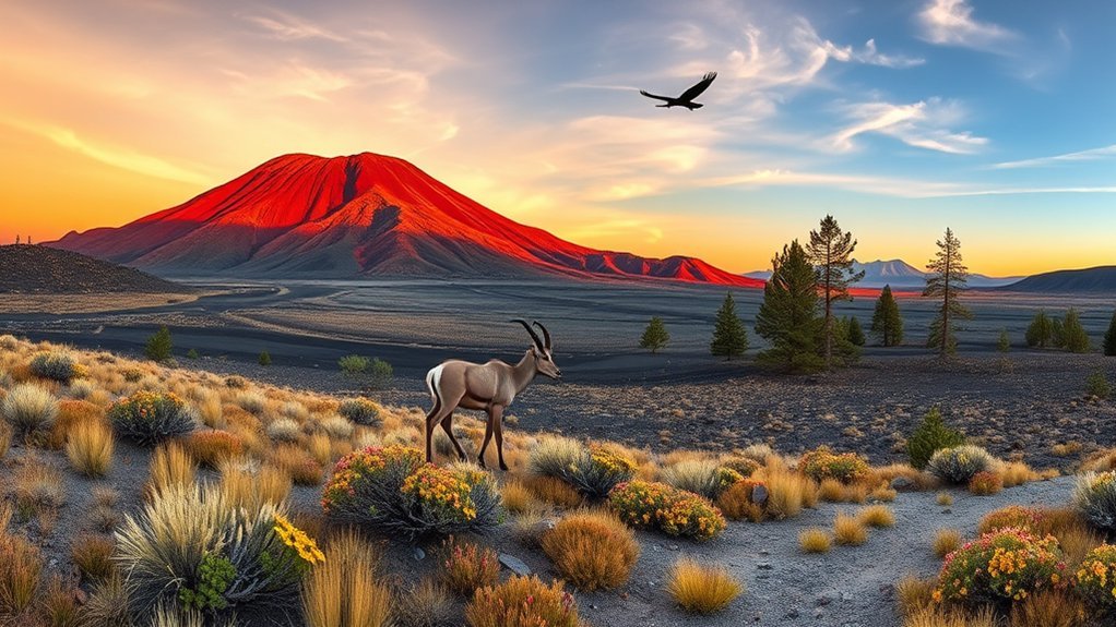
Despite appearing barren from a distance, the cinder fields support a resilient ecosystem adapted to porous, nutrient-scarce soils and intense solar exposure. The landscape also holds profound spiritual and historical importance for regional Native American tribes.
Unique Plant Species
The botanical highlight of the monument is the rare Sunset Crater beardtongue (Penstemon clutei), an endemic wildflower found almost exclusively in the cinder fields of the San Francisco Volcanic Field. Blooming with bright pink flowers in late spring and early summer, this specialist plant thrives in loose volcanic gravel where other vegetation cannot take root.
Mature ponderosa pines (Pinus ponderosa), pinyon pines, and one-seed junipers anchor the edges of the lava beds. In recent years, ecological monitoring has documented how native plants are rebounding following the 2022 Pipeline Fire, demonstrating the natural resilience of fire-adapted southwestern flora.
Indigenous Cultural Ties
Sunset Crater Volcano lies within the traditional homelands of several Indigenous nations, including the Hopi, Zuni, Diné (Navajo), and Yavapai-Apache peoples. When the volcano erupted in the 11th century, Ancestral Puebloan farmers adjusted to the falling ash, which temporarily enriched valley soils with moisture-retaining mulch and stimulated farming at nearby Wupatki.
Oral histories passed down through generations describe the volcanic eruption and emphasize reverence for the powerful natural forces that shaped the peaks. The National Park Service collaborates actively with affiliated tribal nations to protect cultural resources, sacred sites, and traditional plant-gathering areas across the monument.
Nearby Attractions and Scenic Drives
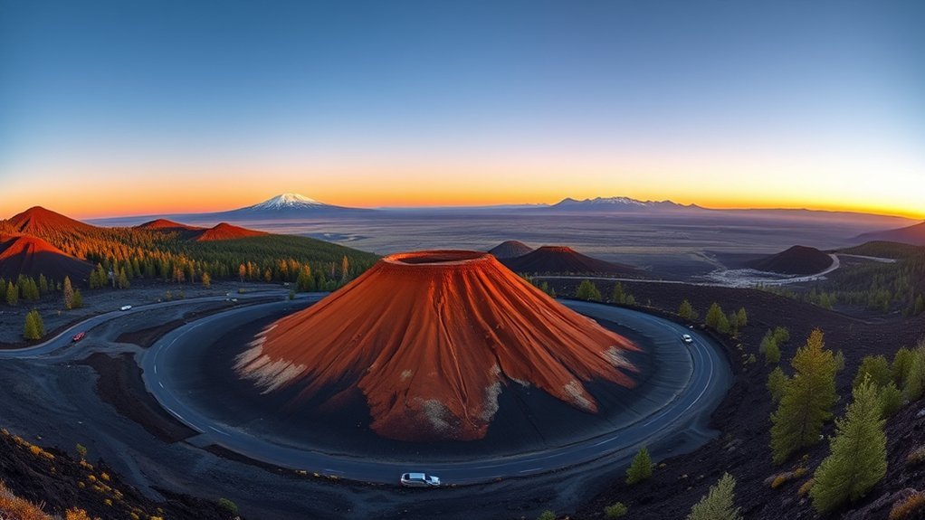
Sunset Crater Volcano serves as the southern gateway to an interconnected network of natural and cultural landmarks managed by the National Park Service and the U.S. Forest Service:
- Wupatki National Monument: Located 14 miles north along the loop road, featuring well-preserved multi-story stone pueblos (including Wupatki, Citadel, and Lomaki) built by Ancestral Puebloan and Sinagua cultures.
- Painted Desert Vistas: Pullouts along the northern segment of the loop road provide sweeping views of the vibrant sandstone formations of the Little Colorado River Basin.
- Walnut Canyon National Monument: Located 10 miles east of Flagstaff off Interstate 40, protecting ancient cliff dwellings built into sheer limestone canyon walls.
- Coconino National Forest: Surrounding the monument with miles of hiking, dispersed recreation, and views of the 12,633-foot Humphreys Peak.
Visitor Tips: Accessibility, Safety, and What to Bring
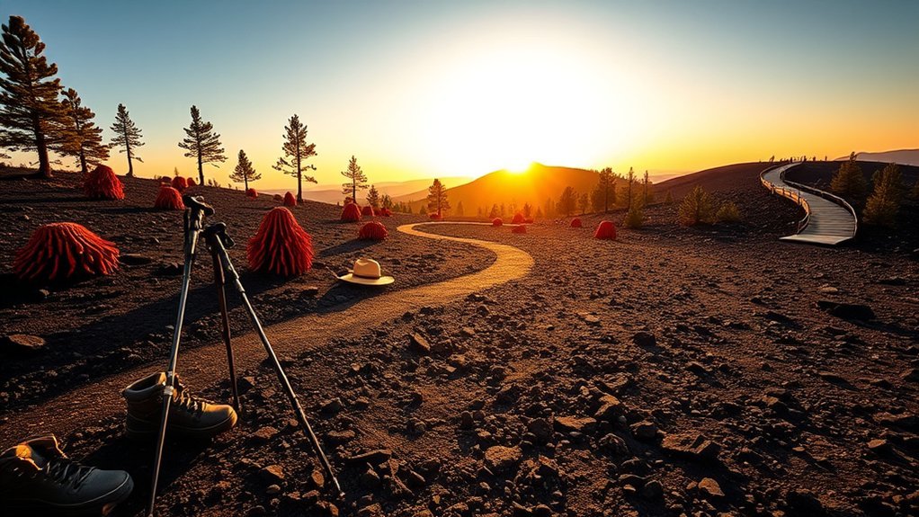
Exploring high-elevation volcanic terrain requires basic physical preparation and attention to park regulations:
- Footwear: Wear sturdy, closed-toe hiking shoes with thick soles. Walking on cinders and jagged lava rocks can quickly abrade thin footwear.
- Hydration & Sun Protection: Bring at least 1–2 liters of water per person. The black cinders radiate heat intensely, and shade along the trails is minimal. Wear a wide-brimmed hat and apply sunscreen.
- Accessibility: The visitor center, restrooms, and parking areas are fully ADA compliant. The 0.3-mile Bonito Vista Trail and the 0.25-mile lower loop of the Lava Flow Trail feature paved surfaces suitable for wheelchairs and strollers. Braille park brochures are available at the front desk.
- Pet Regulations (B.A.R.K. Ranger): Pets are permitted only in parking lots, along paved pullouts, and on the paved portion of the Lava Flow Trail on a maximum 6-foot leash. Pets are not allowed on unpaved hiking trails or inside visitor buildings.
Note: Summer monsoon storms bring sudden, dangerous lightning to open cinder fields. If you hear thunder, immediately return to your vehicle or the visitor center.
Frequently Asked Questions
How long should you spend at Sunset Crater Volcano National Monument?
Most visitors spend between 1.5 and 3 hours exploring the visitor center exhibits, walking the paved Lava Flow Trail, and driving the first section of the scenic loop. If you plan to hike Lenox Crater or drive the full 34-mile loop through Wupatki National Monument, allow 4 to 5 hours.
Is Sunset Crater Volcano worth visiting?
Yes. It offers a rare opportunity to walk directly beside fresh geological features, including spatter cones, squeeze-ups, and the Bonito Lava Flow. Its close proximity to Flagstaff and shared admission with Wupatki National Monument make it an exceptional half-day or full-day road trip.
How much does it cost to enter Sunset Crater Volcano?
Entry costs $20 per private non-commercial vehicle, $15 per motorcycle, and $10 per pedestrian or cyclist. The pass is valid for seven consecutive days and grants entry to both Sunset Crater Volcano and Wupatki National Monument. Federal Interagency Passes (America the Beautiful) are accepted.
Can you hike to the top of Sunset Crater?
No. The trail to the summit of Sunset Crater was closed in 1973 to halt severe erosion caused by foot traffic on loose cinders. To climb a volcanic cone with summit views, visitors are directed to the 1.6-mile round-trip Lenox Crater Trail located directly across the park road.
Conclusion
Standing amid the dark cinder fields of Sunset Crater Volcano National Monument reveals how quickly dynamic geological events can reshape geography and human history. By taking advantage of accessible trails like the Bonito Vista path, climbing Lenox Crater, and continuing along the loop road into Wupatki, you will gain a deep appreciation for the living forces of the San Francisco Volcanic Field. Prepare with plenty of water, respect ongoing trail closures to protect the fragile cinder slopes, and enjoy one of Arizona’s most striking outdoor landscapes.
Sources
- National Park Service: Sunset Crater Volcano Official Guide — Operational hours, trail descriptions, fee schedules, and accessibility regulations.
- U.S. Geological Survey (USGS): Eruption of Sunset Crater, Arizona — Volcanology research, eruption chronology, and cinder cone formation data.
- NPS Geologic Formations: San Francisco Volcanic Field — Details on the Bonito Lava Flow, a’a lava structures, and squeeze-up formations.
- National Park Service: Wupatki National Monument — Ancestral Puebloan history, joint admission pass details, and scenic loop road connectivity.