Red Rock State Park in Sedona has a compact, family-oriented trail system that links Oak Creek’s riparian corridor with pinyon-juniper woodland and open red-rock viewpoints. The best route depends on whether you want an easy nature walk, a short ridge add-on, or the park’s highest viewpoint at Eagle’s Nest. This guide uses the park’s official trail names and current visitor rules so you can plan a safe, realistic day.
Quick Answer
The best hikes in Red Rock State Park are Smoke Trail for an easy Oak Creek walk, Eagle’s Nest Loop for the park’s highest viewpoint, Apache Fire Loop for another scenic circuit, and Kisva, Coyote Ridge, Yavapai Ridge, or Javelina for shorter connectors and add-ons.
Key Takeaways
- Red Rock State Park has about five miles of interconnected, clearly marked trails rather than a collection of long backcountry hikes.
- Eagle’s Nest is the highest point in the park and gains about 300 feet.
- Smoke Trail is the easiest choice for families and wildlife watchers near Oak Creek.
- Pets are not permitted; only ADA service animals are allowed. Swimming and wading in Oak Creek are also prohibited.
- Check current hours, fees, weather, and trail conditions before leaving home.
At a Glance
| Trail Network | About five miles of interconnected loops and connectors |
| Best Easy Walk | Smoke Trail along the Oak Creek riparian area |
| Best Viewpoint | Eagle’s Nest, the park’s highest point, with about 300 feet of elevation gain |
| Current Hours and Fees | Park: 8:00 a.m.–5:00 p.m.; last entry 4:30 p.m. Adult 14+: $10; youth 7–13: $5; child 0–6: free; individual/walk-in: $5 |
Warning: Red Rock State Park allows ADA service animals only. Do not bring a pet, even on a leash. Stay on designated trails, and do not swim or wade in Oak Creek.
How to Choose the Right Red Rock State Park Hike
The park’s trails connect, so you can build a short walk or a longer circuit from the same network. Pick up the current map at the Miller Visitor Center or review the official park map before starting.
- For an easy family walk: choose Smoke Trail and stay near the riparian corridor.
- For the broadest views: make Eagle’s Nest your main destination.
- For a longer loop: combine Eagle’s Nest and Apache Fire with Coyote Ridge.
- For a short ridge add-on: use Yavapai Ridge from the Kisva corridor.
- For woodland scenery: add Javelina Trail.
Smoke Trail: Best Easy Creekside Walk
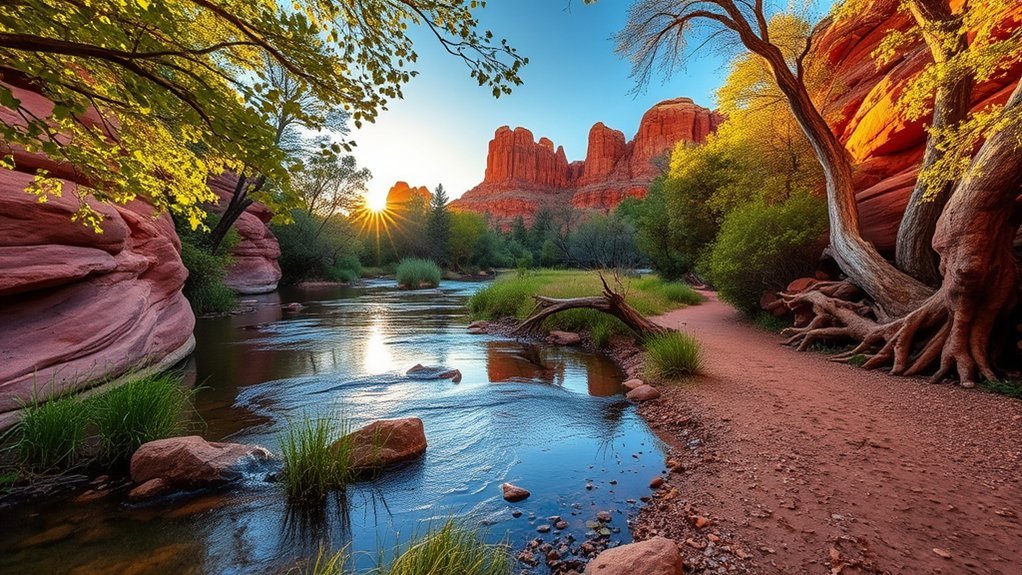
Smoke Trail is the best starting point when you want a relaxed walk near Oak Creek. Arizona State Parks describes it as an easy trail along the park’s riparian area, making it a practical choice for families, birders, and visitors who prefer less climbing.
Expect greener vegetation and more shade than you will find on the exposed ridges. The greener creekside habitat supports birds and other wildlife, but sightings are never guaranteed. Walk quietly, keep a respectful distance, and use binoculars rather than approaching animals.
- Best for: families, nature study, birdwatching, and a gentle start.
- Terrain: generally easier than the ridge routes, though natural surfaces may still be uneven.
- Main rule: remain on the trail and out of the creek.
Eagle’s Nest Loop: Best Panoramic Hike
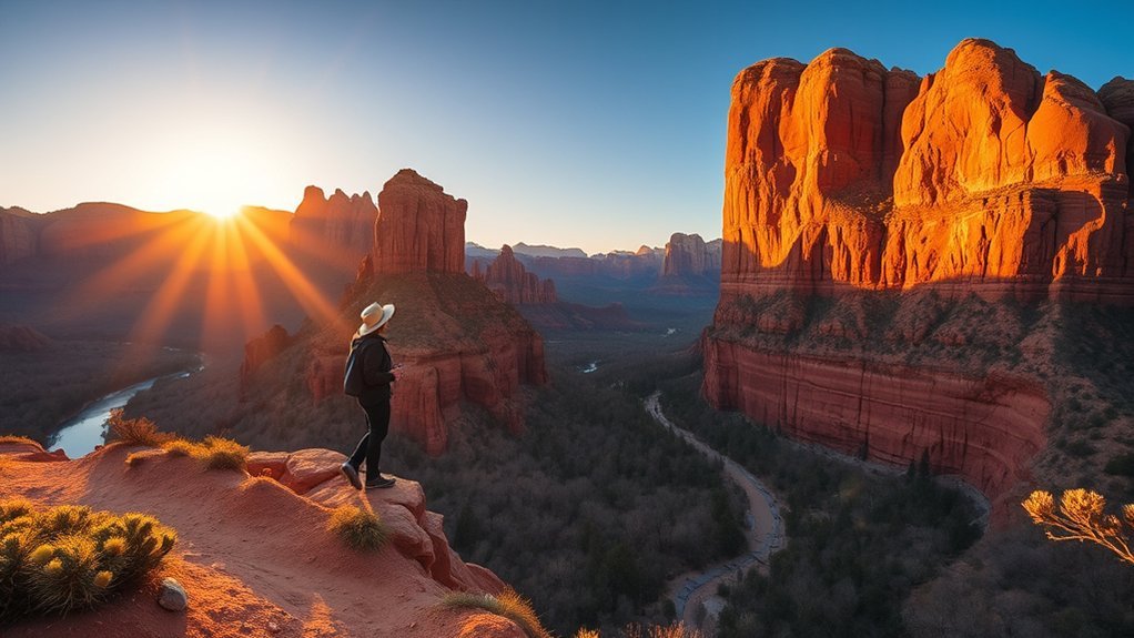
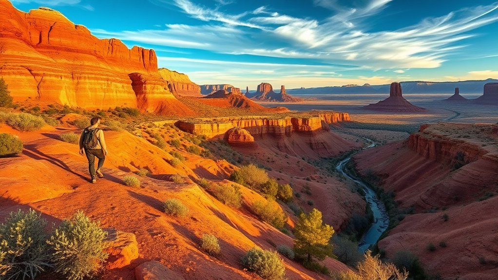
Eagle’s Nest is the park’s signature viewpoint and the best choice when scenery is your priority. According to the official trail guide, it is the highest point in Red Rock State Park and gains about 300 feet.
The climb is modest by Sedona standards, but it feels more demanding than the creekside trails because it is more exposed and includes steady uphill walking. Take your time, carry water, and save energy for the descent. At the top, you get broad views across the park and toward Sedona’s red-rock escarpments.
- Best for: first-time visitors, panoramic views, and a moderate family challenge.
- Combine it with: Coyote Ridge and Apache Fire for a longer circuit.
- Photography tip: morning and later-afternoon light usually gives the rocks more texture, but return well before the 5:00 p.m. closing time.
Eagle’s Nest is the park’s highest point, yet its roughly 300-foot gain keeps the viewpoint within reach of many prepared families.
Apache Fire Loop: Best Scenic Companion Loop
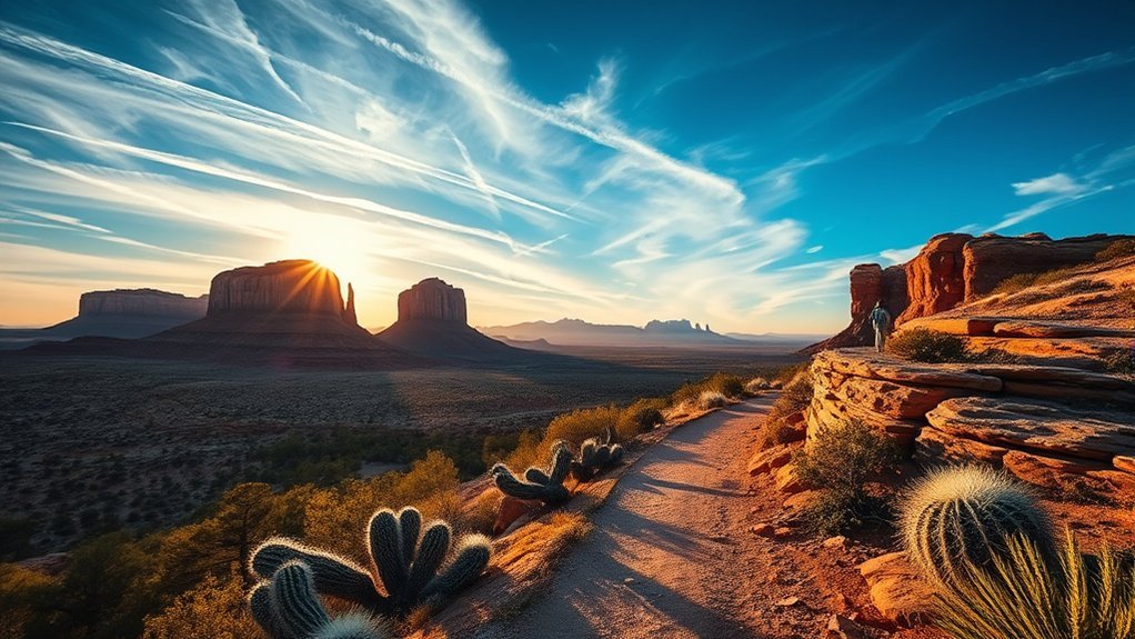
Apache Fire Loop is one of the park’s three major linked routes. It works well as a stand-alone scenic loop or as part of a longer outing with Eagle’s Nest. The official trail system connects the two loops through Coyote Ridge, which lets you adjust your day without leaving the marked network.
This route moves away from the lowest creekside terrain and gives you more open views, sun exposure, and high-desert vegetation. Conditions can feel warmer than they do beside Oak Creek, so start with enough water and sun protection.
Combining Apache Fire and Eagle’s Nest
Use Coyote Ridge to link the two major loops, then follow the signs that return toward the visitor center and riparian corridor. Because the trail system has several junctions, confirm each turn on the current park map instead of following unofficial side paths or user-made cairns.
- Start early enough to finish before the park closes.
- Keep the official map available at every junction.
- Shorten the route if heat, fatigue, or weather begins to affect your group.
- Do not rely on phone service as your only navigation tool.
Kisva Trail: Best Riparian Connector
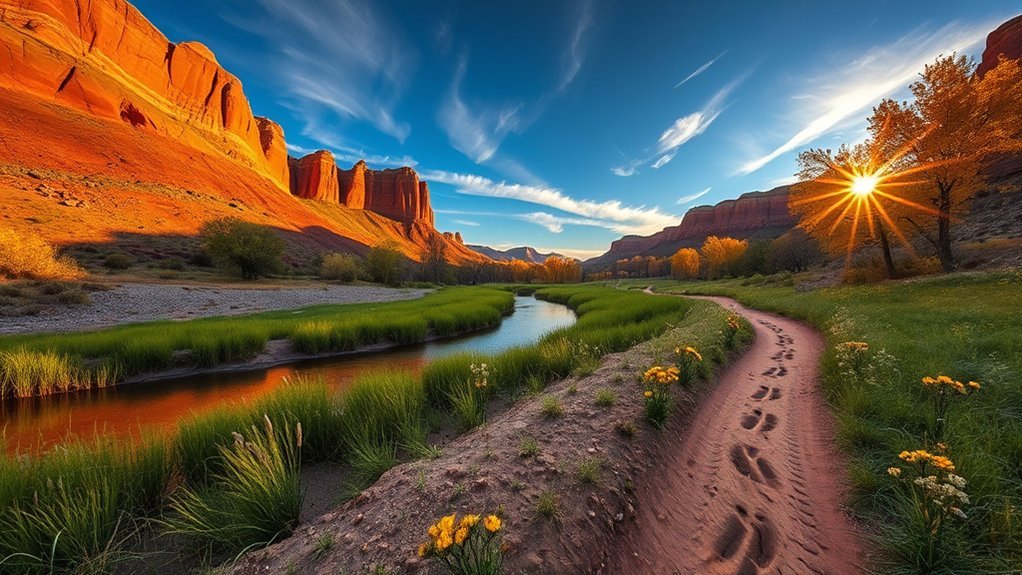
Kisva Trail links the park’s major loops along the riparian corridor and also leads toward the short Yavapai Ridge loop. It is useful when you want to connect scenic routes without repeating the same section of trail.
The appeal here is contrast. You move between creek-influenced vegetation and the drier slopes above it, which makes Kisva a good route for observing how quickly the park’s plant communities change with elevation and moisture.
- Best for: linking loops, nature study, and flexible route planning.
- Watch for: signed junctions leading toward Yavapai Ridge and the major loops.
- Protect the habitat: stay on the maintained tread and avoid shortcuts near the creek.
Yavapai Ridge Trail: Best Short Ridge Add-On
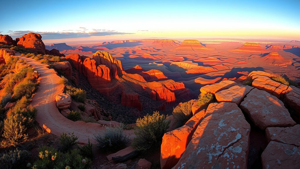
Yavapai Ridge is a short loop connected to the Kisva Trail. Choose it when you want an extra viewpoint without committing to the full Eagle’s Nest and Apache Fire combination.
The ridge is more exposed than the riparian corridor, so expect stronger sun, wind, and faster temperature changes. Late-afternoon light can be attractive for photography, but an ordinary park visit is not a sunset hike: the park closes at 5:00 p.m. and last entry is at 4:30 p.m. Special moonlight hikes are separate, scheduled programs that require advance registration.
Note: Do not plan to remain on Yavapai Ridge after normal closing. Check the official events calendar for registered moonlight hikes if you want an authorized evening experience.
Coyote Ridge Trail: Best Connector for a Longer Circuit
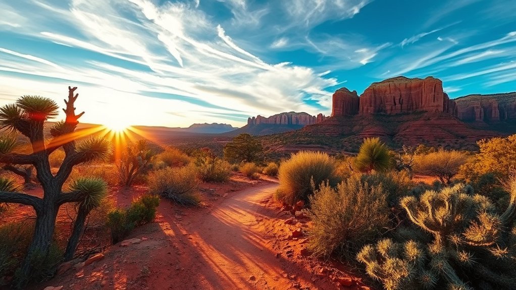
Coyote Ridge is the key link between Eagle’s Nest Loop and Apache Fire Loop. It is not the main destination for most visitors, but it is what makes a longer, varied circuit possible.
Use it when your group has enough time, water, and energy to continue beyond one major loop. Because connectors can be easy to miss when several trails meet, slow down at junctions and confirm the trail name before moving on.
- Use it for: combining the park’s two main scenic loops.
- Navigation: follow official signs and the current park map.
- Turnaround decision: shorten the outing if anyone is overheating, running low on water, or losing steady footing.
Javelina Trail: Best Pinyon-Juniper Walk
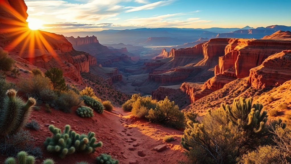
Javelina Trail takes you into the park’s pinyon-juniper woodland and returns to the interconnected loop system. It is a good choice when you want a change from the creek corridor and the most popular viewpoint route.
The woodland offers different habitat and a quieter feel, but the trail name does not promise a javelina sighting. Mule deer, javelina, birds, and other animals live in the area, yet wildlife should always be viewed from a distance. Never feed animals or block their path.
- Best for: woodland scenery and adding variety to a loop.
- Bring: water, sun protection, sturdy shoes, and the park map.
- Wildlife etiquette: stay quiet, keep your distance, and leave animals an escape route.
Other Official Trails and Longer Routes
The official trail page and map also identify routes such as Mesquite Interpretive Loop and Rattlesnake Ridge. Ask at the visitor center which short trail best matches current surface conditions and your group’s mobility.
For a much longer outing, the shared-use Lime Kiln Trail connects Red Rock State Park with Dead Horse Ranch State Park across about 15 miles of high desert. That route is separate from the compact internal loop system and requires more time, water, navigation, and transportation planning.
How to Plan a Safe Hike
Check Hours, Fees, and Conditions
Red Rock State Park is currently open from 8:00 a.m. to 5:00 p.m., with last entry at 4:30 p.m. The listed entrance fees are $10 for adults age 14 and older, $5 for youth ages 7–13, free for children ages 0–6, and $5 for an individual or walk-in visitor. Verify these details on the official Red Rock State Park page because fees, restrictions, and facility notices can change.
Prepare for Heat and Monsoon Weather
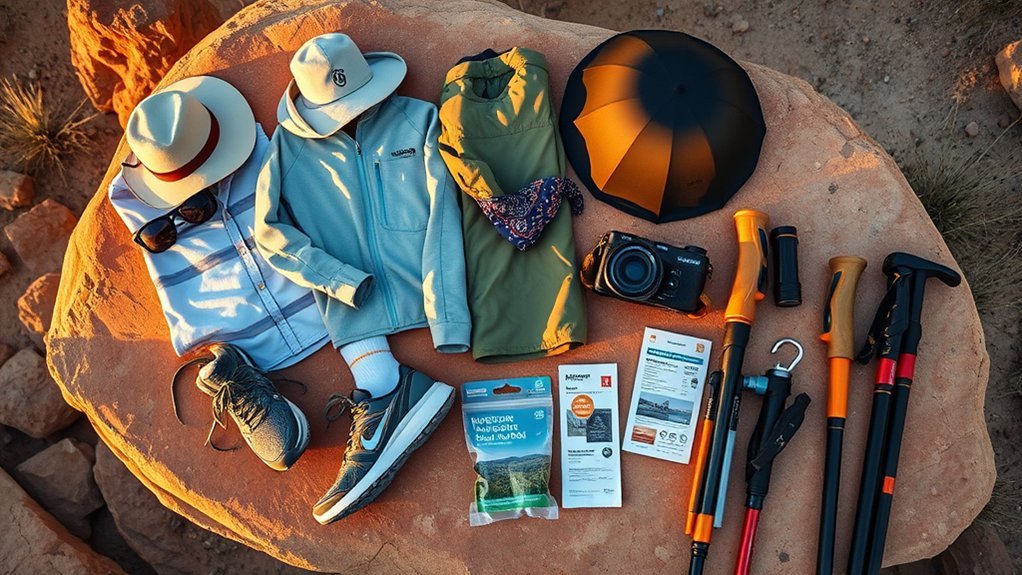
Carry more water than you expect to use, wear a hat and sunscreen, and avoid pushing through signs of heat illness. During Arizona’s summer monsoon season, storms can bring lightning, sudden runoff, and flash flooding. Leave exposed ridges when thunder develops, and never enter a flooded crossing.
Use the Visitor Center
The Miller Visitor Center has interpretive exhibits, a theater, a park store, and restrooms. It is also the best place to confirm trail conditions, accessible options, closures, and the most suitable route for children or visitors with limited mobility.
Pro Tip: Join a park-led nature hike when available. The guided walk is included with park admission and covers geology, wildlife, history, archaeology, and plant life, but space is first-come, first-served.
Frequently Asked Questions
Are dogs allowed on Red Rock State Park trails?
No. Red Rock State Park allows ADA service animals only. Do not bring a pet, even if you plan to keep it leashed.
Is there a shuttle to Red Rock State Park?
The official park pages do not list a park-operated visitor shuttle. Plan to travel to the park entrance at 4050 Red Rock Loop Road and follow the posted parking signs or the official park map. Do not confuse this park with other Sedona trailheads served by separate shuttle systems.
Are any trails wheelchair or stroller accessible?
Some park areas and trail segments may be accessible, but natural surfaces and current conditions can change. Contact the visitor center before your trip to confirm the best present-day option for a wheelchair, mobility device, or stroller.
What are the current entrance fees?
The park currently lists $10 for adults age 14 and older, $5 for youth ages 7–13, free admission for children ages 0–6, and $5 for an individual or walk-in visitor. Check the official park page before visiting because fees can change.
Can you swim or wade in Oak Creek?
No. Swimming and wading are prohibited inside Red Rock State Park to protect the riparian habitat.
Can you hike at sunset?
Not during an ordinary visit when sunset occurs after the park’s 5:00 p.m. closing time. Registered moonlight hikes are occasionally offered as special events and follow separate schedules.
When is the best season to hike?
Spring and fall often provide comfortable hiking weather, while summer requires earlier starts and strict heat and storm awareness. Wildflower displays depend on rainfall, and fall color timing varies from year to year, so check current park updates rather than planning around a guaranteed peak date.
Sources
- Arizona State Parks: Trails at Red Rock State Park — official trail names, connections, five-mile network, and Eagle’s Nest elevation gain.
- Arizona State Parks: Red Rock State Park — current hours, entrance fees, visitor center information, and park overview.
- Arizona State Parks: Red Rock State Park Maps — official park map, directions, elevation, and location details.
- Arizona State Parks: Daily Guided Nature Hikes — service-animal rule, creek restrictions, and guided-walk information.
- Arizona State Parks: Arizona Hiking Trails — family hiking guidance for Smoke Trail and Eagle’s Nest.
Conclusion
Red Rock State Park is best explored as a flexible network rather than a list of isolated hikes. Start with Smoke Trail for an easy creekside walk, climb Eagle’s Nest for the park’s strongest viewpoint, or link Apache Fire, Coyote Ridge, Kisva, Yavapai Ridge, and Javelina into a route that fits your time and energy. Carry water, follow the official map, respect the no-pet and no-wading rules, and finish before closing.