Tonto Natural Bridge State Park Visitor Guide
What’s in This Article
- Getting to Tonto Natural Bridge State Park
- Park Hours, Fees, and Permits
- Parking, Visitor Center, and Facilities
- Trails and Hike Difficulty Levels
- Accessibility and Family-Friendly Options
- Best Times of Year and Day to Visit
- Wildlife, Plants, and Geology to Look For
- Safety Tips and Leave No Trace Practices
- Nearby Attractions, Dining, and Overnight Stays
- Frequently Asked Questions
You’ll feel the scale of Tonto Natural Bridge State Park before you reach the creek. Arizona State Parks & Trails says the park protects a travertine arch believed to be the world’s largest natural travertine bridge, rising 183 feet over a tunnel about 400 feet long. This guide gives you the current basics on getting there, hours, fees, trails, access, safety, and nearby stops.
Quick Answer
Tonto Natural Bridge State Park sits near Payson, Arizona, about 10 miles north of town on Highway 87. The park works best for visitors who want short but steep hikes, paved viewpoints, picnic areas, geology, and quiet canyon views. Check the official park page before you leave because trail access, hours, and fees can change.
Key Takeaways
- Use Highway 87, not Highway 260, as the main signed approach north of Payson.
- Plan around current park hours of 9:00 a.m. to 5:00 p.m., with last entry at 4:00 p.m.
- Wear real hiking shoes because the dirt trails sit under a half mile but still feel steep and rough.
- Keep pets off all trails, even though the park allows them on paved paths and viewpoints.
- Bring offline maps because the park reports no public phone, cell signal, or internet access.
Getting to Tonto Natural Bridge State Park
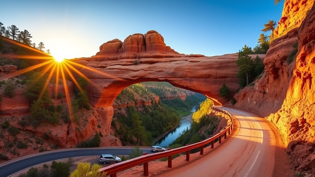
You’ll reach Tonto Natural Bridge State Park from Highway 87, about 10 miles north of Payson. The turnoff leads toward a narrower park road with pine, juniper, and canyon views. Follow current map directions, but save the route offline before you leave town.
Drive slowly after you enter the park road because visitors, wildlife, and sharp curves can appear with little warning. Parking areas sit near viewpoints, picnic areas, and trail access points, so choose your first stop based on energy and time. Carry water, sturdy shoes, and a printed or saved park map.
Park Hours, Fees, and Permits
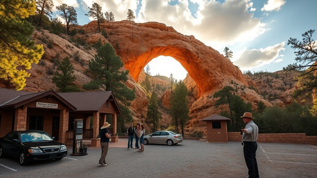
Arizona State Parks & Trails lists the current park hours as 9:00 a.m. to 5:00 p.m., with last entry at 4:00 p.m. Trails close one hour before the park closes. Holiday hours can differ, so check the official page on the morning of your trip.
Current day-use entrance fees list adults age 14 and older at $10, youth ages 7-13 at $5, and children ages 0-6 as free. Have a card or payment backup ready, and confirm fees before you arrive. Group ramadas, weddings, special events, and commercial filming may need advance approval or reservations.
| Planning Item | Current Guidance |
|---|---|
| Park hours | 9:00 a.m. to 5:00 p.m. |
| Last entry | 4:00 p.m. |
| Trail closing time | One hour before park closing |
| Adult fee | $10 for ages 14 and older |
| Youth fee | $5 for ages 7-13 |
| Child fee | Free for ages 0-6 |
Recreational drone use does not fit Arizona State Parks rules. Commercial drone or filming work needs permit review, insurance, and approval before you shoot. Contact the park early if your visit includes a group event, reserved ramada, wedding, or commercial project.
Parking, Visitor Center, and Facilities
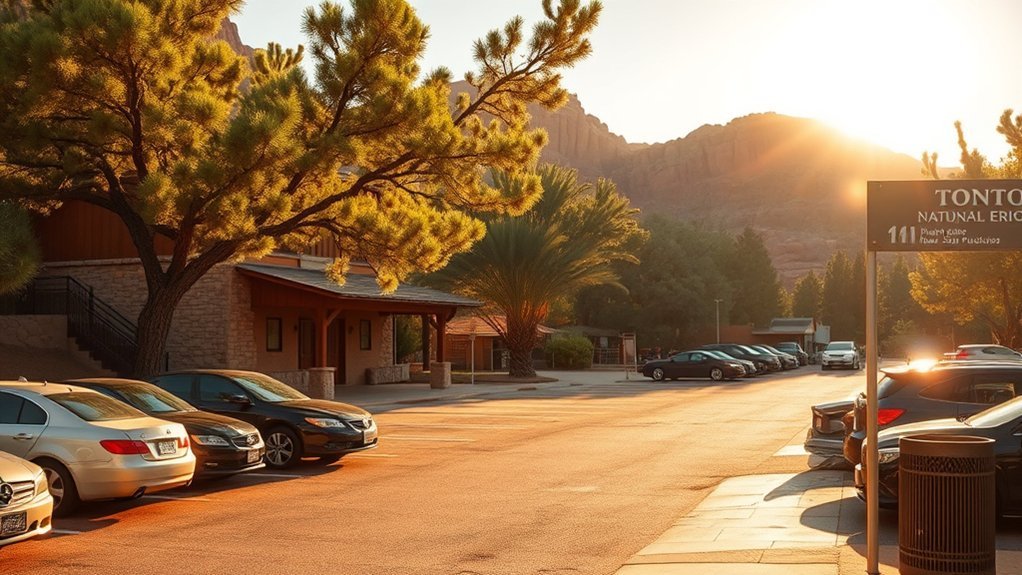
Start with the parking lot viewpoints if you want the easiest view of the bridge. Arizona State Parks & Trails says visitors can see the Natural Bridge from four parking lot viewpoints without hiking to the creek bottom. These stops help you understand the scale before you choose a trail.
The visitor center and park store sit inside historic Goodfellow Lodge. You can get information, regional books, snacks, water, walking sticks, and basic supplies when the store operates. The park also offers picnic tables, group ramadas, and interpretive exhibits about travertine, prehistoric inhabitants, and the lodge.
| Facility | Details |
|---|---|
| Parking Lot Viewpoints | Four viewpoints with no creek-bottom hike required |
| Visitor Center/Park Store | Information, snacks, water, books, and walking sticks |
| Museum & Exhibits | Travertine, park history, and Goodfellow Lodge displays |
| Group Ramadas | Some reservable, some first-come, first-served |
| Picnic Areas | Tables throughout the park |
Arrive early if you visit on a weekend or holiday. Early arrival gives you cooler air, better parking choices, and more time before the trail cutoff.
Trails and Hike Difficulty Levels
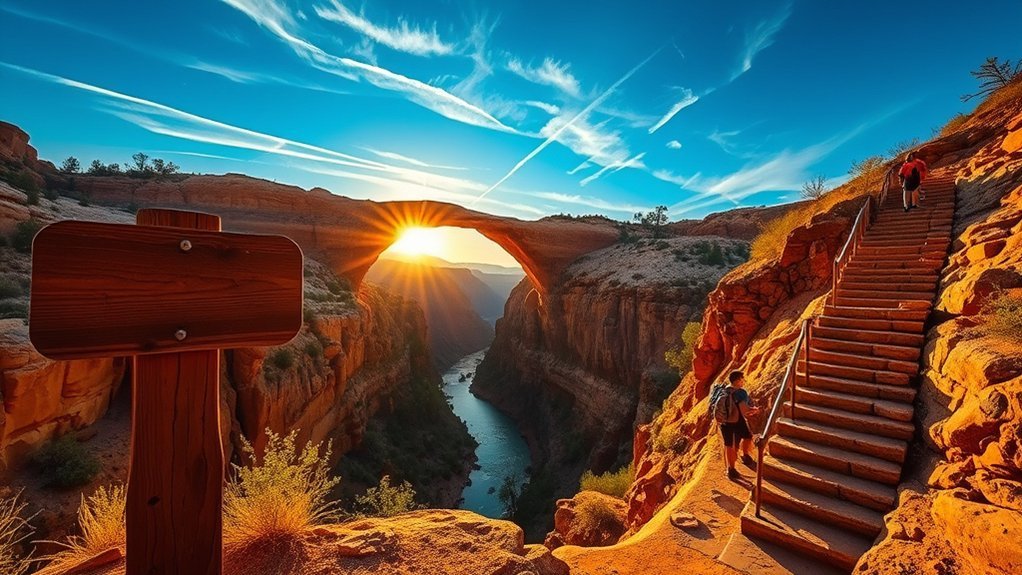
Do not judge the hikes by distance alone. Arizona State Parks & Trails says all dirt trails at Tonto Natural Bridge are under a half mile, but they feel steep and strenuous. You’ll need water, shoes with strong tread, and enough time to climb back out.
The paved paths and top viewpoints suit visitors who want easier views. The creek-bottom routes suit hikers who can handle rough footing, uneven steps, and wet rock. Ask staff about closures before you start because weather and repairs can affect trail access.
Trail Types and Lengths
Each trail gives you a different angle on the bridge, creek, and canyon. Pine Creek Trail runs about a half mile and includes a developed section plus rough creek-bottom travel. Gowan Trail runs about 2,200 feet down and back to an observation deck in the creek bottom.
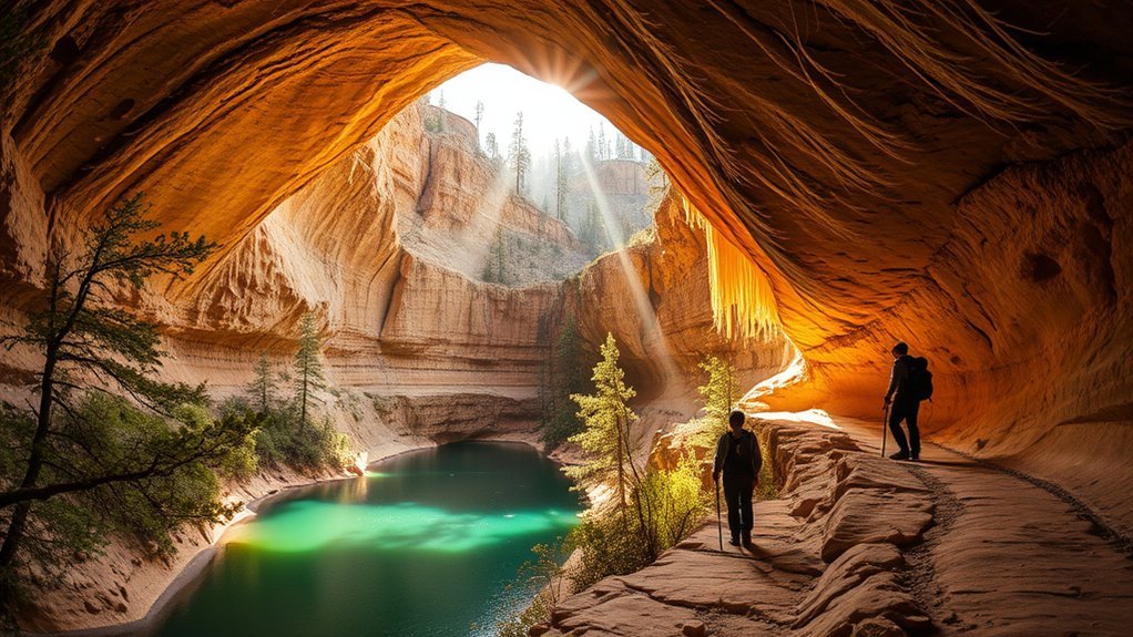
Waterfall Trail runs about 300 feet and ends at a waterfall cave with uneven steps. Anna Mae Trail runs about 500 feet and connects toward Pine Creek Trail and the Natural Bridge. Allow more time than the mileage suggests because steep grades and slick spots slow your pace.
| Trail or Route | Typical Length |
|---|---|
| Pine Creek Trail | About 1/2 mile |
| Waterfall Trail | About 300 feet |
| Gowan Trail | About 2,200 feet down and back |
| Anna Mae Trail | About 500 feet |
Difficulty Ratings Explained
Match the route to your balance, stamina, and comfort with rough surfaces. Short trails can still feel hard when they include rock steps, creek crossings, or a steep climb back to the top. Use the paved viewpoints if your group needs a low-effort plan.
- Start with the paved viewpoints if you want the easiest bridge views.
- Choose Waterfall Trail if your group can handle uneven steps and a short descent.
- Choose Gowan Trail if you want a creek-bottom view and can handle steep, rough footing.
- Choose Pine Creek or Anna Mae only when you feel ready for uneven canyon terrain.
Safety and Trail Tips
Read each trail sign before you descend. Good shoes matter here because flip-flops, sandals, and dress shoes raise your risk on loose or wet rock. Arizona State Parks & Trails recommends two liters of water per person.
Set a turnaround time before you start. Keep both hands free when you cross slick sections, and follow arrows or posted signs instead of creating your own route. Give wildlife space, seal your food, and keep children close near steep edges.
Warning: The park prohibits swimming and wading under the Natural Bridge, and wet rock can still cause serious falls.
Accessibility and Family-Friendly Options
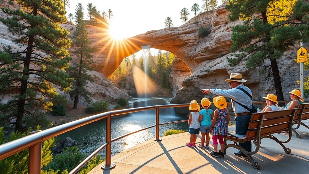
Tonto Natural Bridge works well for mixed groups when you plan around the easiest viewpoints first. The parking lot viewpoints and paved top paths give many visitors a way to see the bridge without hiking to the creek. Families can combine those views with a picnic and a short trail if the group feels ready.
Do not assume every route works for strollers, wheelchairs, or visitors with limited stamina. The dirt trails can turn steep, rough, and slick. Ask park staff about current surfaces, closures, and the best route before you commit to a descent.
Trail Accessibility Details
Build your plan around the person in your group who needs the easiest route. The paved path and viewpoints provide the best starting point, while dirt trails require stronger balance and shoes. Heat, rain, and water spray can change the feel of the route quickly.
- Start at the parking lot viewpoints before choosing a trail.
- Use short breaks to pace kids, older adults, and anyone with limited stamina.
- Bring sturdy shoes, water, snacks, and sun protection for each person.
- Check signs and ask staff before you take a stroller or mobility device beyond paved areas.
Wheelchair-Friendly Areas
The top viewpoints offer the most practical option for visitors who want bridge views without a steep hike. Parking lot viewpoints let you see the Natural Bridge from several angles. Conditions can change, so confirm the best accessible route with staff when you arrive.
Bring a companion if your route includes grades, uneven edges, or crowded viewpoints. A slow plan often works better than a long one here. Focus on one or two reliable stops instead of trying to cover every trail.
Family Facilities & Tips
A family visit feels smoother when you treat the park as a short-trail, big-view destination. Choose a viewpoint first, then decide whether the group has enough energy for a descent. Keep snacks, water, and layers within easy reach.
- Pack water for each person, even for short walks.
- Keep kids close near overlooks, stairs, and wet rocks.
- Use simple nature games, such as bird spotting or texture hunts, at safe viewpoints.
- Check the trail closing time before you promise kids a creek-bottom walk.
Best Times of Year and Day to Visit
Spring and fall usually give you the easiest mix of mild temperatures, good light, and comfortable hiking. Spring can bring wildflowers and stronger creek flow after wet periods. Fall can bring warm canyon color and clearer sky conditions.
Start early if you want cooler air and more parking choices. Late afternoon can create warm light on the bridge, but you must watch the trail closing time. Summer heat makes midday hikes harder, while winter can bring cold, slick, or shaded sections.
Wildlife, Plants, and Geology to Look For
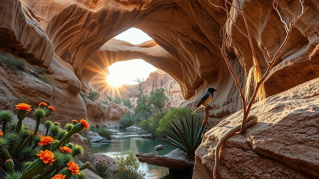
The park brings together creek habitat, canyon walls, and high desert plants. Arizona State Parks & Trails notes many bird species in the park, including seasonal hummingbirds. You may also see deer, rabbits, and javelina if you stay quiet and keep your distance.
The geology gives the park its main reason to visit. Travertine forms as mineral-rich water leaves calcium deposits over time. At Tonto Natural Bridge, that process helped create a massive natural span over Pine Creek.
- Birds: Watch for hummingbirds, canyon birds, and raptors near open sky and trees.
- Mammals: Look for deer, rabbits, and javelina from a safe distance.
- Plants: Notice cottonwoods, willows, cacti, agave, and other plants that match wetter or drier zones.
- Geology: Compare the travertine bridge, layered rock, creek channel, and shaded cave areas.
Safety Tips and Leave No Trace Practices
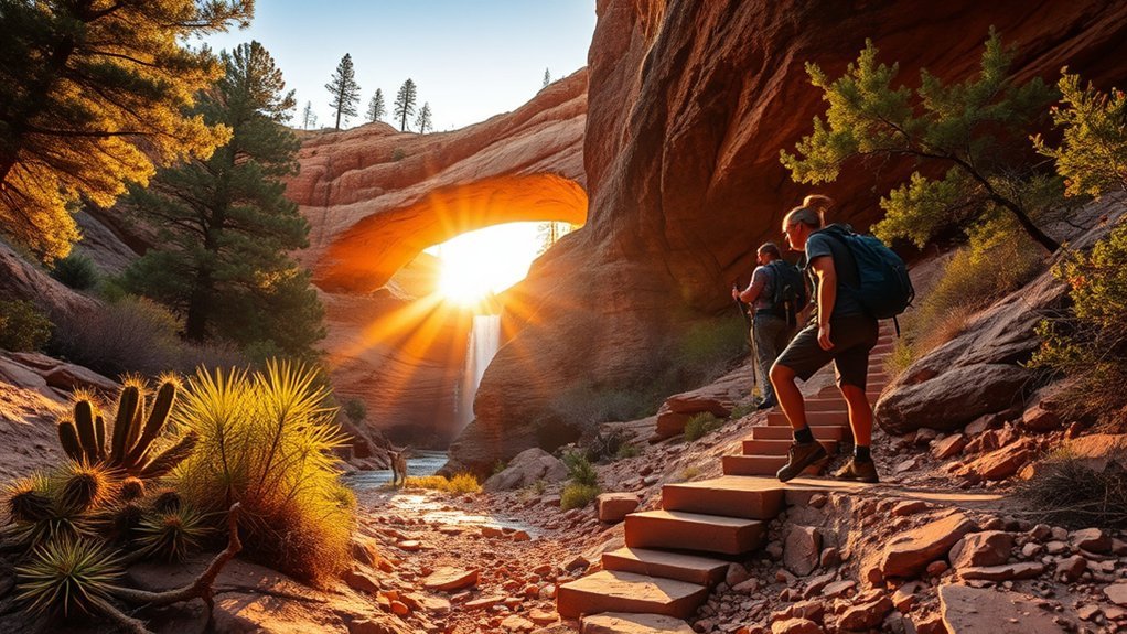
Protect the bridge by staying on marked routes and respecting every closure. Do not throw rocks, step into closed water areas, or climb away from the signed route. Pack out trash, food scraps, and any small items you bring in.
The park reports no public telephone, cell signal, or internet access, so plan like your phone may not help. Download maps before you arrive, tell someone your route, and carry a basic first-aid kit. Turn back if slick rock, heat, lightning, or fatigue makes the trail feel unsafe.
Nearby Attractions, Dining, and Overnight Stays
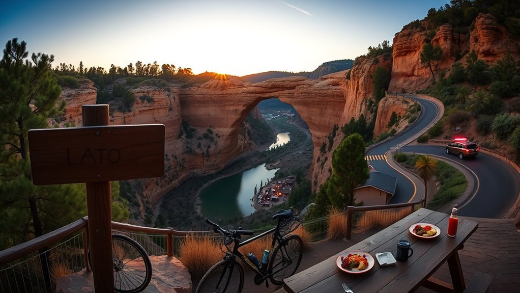
You can pair Tonto Natural Bridge with a simple stop in Payson for food, gas, and supplies. The Mogollon Rim area also offers scenic drives, forest roads, lakes, and hiking options when weather and road conditions cooperate. Keep your second stop flexible because the park trails can take more time than you expect.
For overnight plans, look at Payson, Pine, Strawberry, nearby campgrounds, and vacation rentals. Do not assume Goodfellow Lodge accepts overnight guests for your dates because the official facility page notes limited or changing availability. Call the park before you build a trip around lodge access.
- Payson dining and supplies: Use town stops for meals, fuel, coffee, and last-minute gear.
- Mogollon Rim viewpoints: Add a scenic drive if you have enough daylight.
- Pine and Strawberry stops: Consider small-town food, shops, and quiet walks.
- Nearby lodging: Compare inns, rentals, and campgrounds before you travel.
Frequently Asked Questions
Are Pets Allowed on Trails and in Park Facilities?
You can bring a pet to limited park areas, but the park does not allow pets on trails. Keep your pet on a six-foot controlled leash at parking level, paved paths, and viewpoints, and never leave a pet unattended.
Is Rock Climbing or Rappelling Permitted at the Bridge?
Treat the bridge as a hiking and viewing area, not a technical climbing site. Stay on marked routes, avoid climbing away from the trail, and contact the park before planning any rappelling, climbing, or guided technical activity.
Can I Host a Wedding or Private Event at the Park?
Yes, the park can host some group events, but you need to contact staff before you plan dates, guest counts, or vendors. Ramadas, lawn areas, and filming activity may need reservations, fees, permits, or insurance.
Are Drones or Aerial Photography Allowed Over the Park?
Arizona State Parks rules prohibit recreational drone use in state parks. Commercial drone or filming work needs permit review, insurance, current Federal Aviation Administration registration, and park approval.
Is There Cell Phone Service or Wi-Fi at the Park?
Do not count on cell service, public phone access, or internet access inside the park. Download maps, reservation details, and directions before you drive into the canyon area.
Conclusion
Tonto Natural Bridge rewards you most when you plan for short distances, steep trails, and changing canyon conditions. Check the official park page before you leave, then bring water, real hiking shoes, offline maps, and enough time for a slow visit. Start with the viewpoints, choose one trail that fits your group, and leave the creek and travertine as clean as you found them. A careful plan lets you enjoy the bridge without rushing the best parts.
References
- Tonto Natural Bridge State Park – Arizona State Parks & Trails, 2026
- Trails at Tonto Natural Bridge State Park – Arizona State Parks & Trails, 2026
- Facility Information at Tonto Natural Bridge State Park – Arizona State Parks & Trails, 2026
- Arizona State Parks FAQ – Arizona State Parks & Trails, 2026
- Filming and Photography Permit Information – Arizona State Parks & Trails, 2026