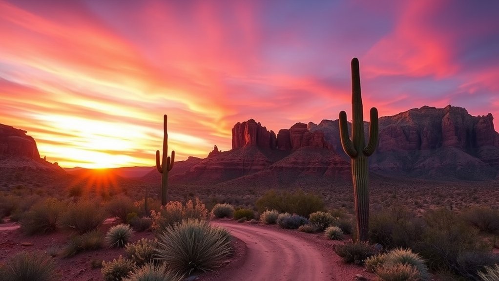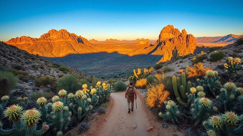
Rising abruptly from the Sonoran Desert east of Phoenix, the Superstition Mountains offer some of the most rugged, scenic, and legendary hiking terrain in the American Southwest. Whether you are trekking the classic Peralta Trail to gaze upon Weaver’s Needle, scrambling up the steep slickrock chimney of Siphon Draw to the Flatiron, or searching for Hohokam rock art along the Hieroglyphic Trail, this 160,000-acre wilderness rewards thorough preparation. Understanding trail terrain, seasonal water scarcity, and elevation exposure is essential before stepping foot on these desert paths.
Quick Answer
The best hikes in the Superstition Mountains range from easy family walks like the Hieroglyphic Trail (2.8 miles RT) to iconic panoramic treks like Peralta Trail to Fremont Saddle (4.9 miles RT) and strenuous Class 3 scrambles like Siphon Draw to Flatiron (5.5 miles RT, 2,900 ft gain). The hiking season runs from October through April. Always carry at least 4 liters of water per person, wear stiff-soled traction footwear, and start at dawn.
Key Takeaways
- Prime Season: October through April offers safe daytime temperatures; avoid unshaded interior routes between May and September when temperatures consistently exceed 100°F (38°C).
- Top Landmark Trails: Peralta Trail (#102) for classic Weaver’s Needle views; Siphon Draw (#53) for hands-on scrambling; Hieroglyphic Trail (#101) for petroglyphs and seasonal pools.
- Permits & Fees: Wilderness day-hiking and dispersed camping managed by the USDA Forest Service Tonto National Forest are free. Access via Lost Dutchman State Park requires a day-use vehicle entrance fee.
- Hydration Rule: Carry a minimum of 1 gallon (4 liters) of water per person on full-day routes. Backcountry springs are seasonal and unreliable.
- Navigation: Wilderness trails feature sparse signage and intermittent cairns; always download offline GPS maps and carry a physical topographic map.
Best Trails for Panoramic Views
When you climb above the desert floor, the Superstition Wilderness reveals dramatic volcanic geology, deeply carved canyons, and vast views stretching across the Salt River Valley to the Four Peaks. The range’s western and southern ramparts offer elevated vantage points ideal for wide-angle landscape photography and sunrise vistas.
At a Glance: Premier Panoramic Routes
| Peralta Trail to Fremont Saddle (#102) | 4.9 miles RT | 1,360 ft gain | Moderate | Direct overlook of Weaver’s Needle |
| Siphon Draw to Flatiron (#53) | 5.5 miles RT | 2,900 ft gain | Strenuous / Class 3 | 360° Valley & canyon panorama |
| Treasure Loop Trail (#56) | 2.4 miles RT | 500 ft gain | Easy-Moderate | Western cliff base and sunset views |
The Peralta Trail (#102) stands as the quintessential panoramic hike in the region. Starting from the southern Peralta Trailhead, the path climbs through Peralta Canyon alongside towering dacite cliffs and weathered boulders. At roughly 2.4 miles, you crest Fremont Saddle, where the terrain drops away to frame a direct, unobstructed view of Weaver’s Needle—a 1,000-foot volcanic plug rising from the wilderness floor. For the best photography, start 45 minutes before sunrise to capture the early morning alpenglow striking the eastern face of the needle.
For high-angle views overlooking the Phoenix metropolitan basin, the Flatiron summit via Siphon Draw delivers the most expansive vantage point in the western Superstitions. Rising 4,861 feet above sea level, the Flatiron prow looks straight down on Lost Dutchman State Park and the desert below.
Top Scrambling Routes and Ridgelines
Beyond the maintained footpaths, the Superstition Mountains are renowned among mountaineers and experienced hikers for non-technical (Class 3) scrambles and rugged ridge lines. These routes demand route-finding skills, comfort with steep drops, and durable footwear with high-traction rubber soles.
Technical Scrambling Sections
The upper section of Siphon Draw is the most frequented scramble in the range. Once you pass the smooth, polished rock basin at the 1.5-mile mark, the official trail ends and the route transitions into a continuous Class 3 ascent through a steep boulder-choked drainage ravine. Hikers must negotiate loose scree, large volcanic talus, and a final 12-foot rock wall known as the “rock chimney” or headwall. Maintain three points of contact, test handholds before committing weight, and watch for loose stones kicked down by hikers above.
Another classic technical scramble is Battleship Mountain, accessed via the First Water Trailhead and Boulder Canyon Trail (#103). This route leads along a narrow, knife-edge volcanic fin featuring exposed Class 3 and low Class 4 moves with vertical drop-offs on both sides. A helmet is recommended due to crumbling rock on the summit block.
Warning: Scrambling routes like Flatiron and Battleship Mountain are not standard walking trails. Wet conditions turn the smooth dacite rock into slick surfaces. Do not attempt these routes during rainstorms, in high winds, or if you experience vertigo.
Exposed Ridge Traverses
The premier ridgeline adventure is the Superstition Ridgeline (SRL) Traverse. This grueling 11- to 12-mile point-to-point route spans the entire western crest of the range, usually hiked from Carney Springs Trailhead in the south to Siphon Draw / Lost Dutchman in the north.
- Carney Springs Ascent: A steep, loose 1,500-foot climb over 1.5 miles to reach the ridgeline saddle.
- Crestline Traverse: Miles of continuous Class 2 and Class 3 traversing over Three Sisters, Superstition Peak 5,057 (the highest point in the western range), and the technical drop into the Flatiron headwall.
- Descent via Siphon Draw: A joint-pounding 2,900-foot descent down the slickrock drainage basin.
Route-Finding Challenges
Off-trail travel in the Superstitions presents distinct navigation hazards. The volcanic terrain is crisscrossed by game paths, old mining tracks, and false routes marked by unofficial cairns. In narrow canyons and along exposed ridges, GPS signals can bounce off sheer rock walls, introducing tracking errors. Always cross-check visual landmarks, match compass bearings against physical topography, and avoid descending into unknown side drainages, which often end in impassable dry waterfalls (pour-offs).
Family-Friendly and Short Walks
You do not need to embark on all-day scrambles to experience the desert beauty of the Superstition Mountains. Several low-elevation, well-maintained paths provide approachable options for families, beginning hikers, and visitors looking for relaxed nature walks.
- Hieroglyphic Trail (#101): Located in Gold Canyon at the Cloudview Trailhead, this 2.8-mile round-trip trail climbs gently (570 feet of elevation gain) through a saguaro-filled canyon to a basalt rock basin filled with ancient Hohokam petroglyphs and seasonal water pools.
- Discovery & Native Plant Trails (Lost Dutchman State Park): Flat, smooth, and partially paved loop trails (under 1 mile) featuring interpretive signs on native desert ecology, wildlife habitats, and desert plants. Accessible for strollers and all ages.
- Peralta Trailhead Nature Loop: A scenic 0.5-mile educational path at the base of Peralta Canyon that introduces visitors to desert rock formations, mesquite woodlands, and native flora without significant elevation change.
Best Trails for Solitude and Wildlife
While western trailheads near Apache Junction see heavy foot traffic, the deep interior of the Superstition Wilderness offers complete isolation across expansive desert canyons and remote plateaus.
Remote Ridge Routes
Trails originating from the eastern and northern trailheads—such as Rogers Trough, Reavis Trailhead, and Tortilla Flat—lead into vast backcountry valleys where you can hike all day without meeting another person. The Dutchman’s Trail (#22) winds for over 18 miles through the core of the wilderness, connecting remote canyons like Redford and Bull Pass.
Dawn Wildlife Viewing
The Sonoran Desert is home to a diverse wildlife community. The cool dawn hours offer the best opportunities to observe native fauna across wash corridors and alluvial plains. Quiet hikers frequently spot:
- Mammals: Collared peccaries (javelinas), desert mule deer, coyotes, ringtails, and desert bighorn sheep on high crags.
- Birds: Gambel’s quail, canyon wrens, cactus wrens, Harris’s hawks, and great horned owls.
- Reptiles: Gila monsters, chuckwallas, and Western diamondback rattlesnakes (active primarily March through October).
Pro Tip: Rattlesnakes are common throughout the Superstition Wilderness. Watch your step around sun-warmed rocks and avoid placing your hands onto blind ledges or into rock crevices.
Backcountry Water Sources
Reliable water is rare in the Superstitions. Backcountry travel requires careful monitoring of natural springs and tinajas (bedrock water catchments). Primary water locations include:
- Charlebois Spring: Located in central LaBarge Canyon along Trail #22; one of the most reliable water sources in the wilderness, though flow fluctuates drastically between seasons.
- Reavis Creek: Flows seasonally through the high-elevation Reavis Valley on the eastern boundary of the wilderness.
- Seasonal Tinajas: Ephemeral pools in Hieroglyphic Canyon and Siphon Draw that hold water for several weeks following winter rains or summer monsoon storms.
Always treat backcountry water using a hollow-fiber filter backed by chemical purification or boiling, as surface pools are frequently utilized by wildlife and range cattle.
Historic and Lore-Focused Hikes
The Superstition Mountains are steeped in regional Southwestern folklore, Indigenous heritage, and mining history. The Apache consider the range sacred, known in traditional lore as the home of the Thunder God. In the late 19th century, the mountains gained international renown following the legend of Jacob Waltz and the Lost Dutchman Gold Mine.
“The Dutchman’s gold has never been recovered, but the search carved dozens of historical mining trails that now guide modern hikers through the wilderness.”
Historic points of interest you can explore on foot include:
- Weaver’s Needle: Named after mountain man Pauline Weaver, this landmark served as the central reference point in historical treasure maps and mining claims.
- Reavis Ranch: The historic homestead of Elisha Reavis, settled in 1874. Located in a high eastern valley, hikers can still explore the remnants of historic apple orchards.
- Circlestone: An enigmatic, prehistoric circular stone structure perched atop a 6,010-foot ridge near Mound Mountain, believed to have been constructed by ancient Indigenous peoples for astronomical or ceremonial purposes.
Rugged All-Day Treks
For experienced backpackers and conditioned endurance day-hikers, the Superstition Wilderness provides demanding multi-mile loops with substantial elevation changes.
- Weaver’s Needle Loop (12.5–13.5 miles, 2,400 ft gain): Starting at Peralta Trailhead, this grand circuit combines Peralta Trail (#102), East Boulder Trail (#104), Dutchman’s Trail (#22), and Bluff Spring Trail (#113). It circles Weaver’s Needle, traversing through Boulder Basin, Needle Canyon, and Barks Canyon.
- Black Mesa & Garden Valley Loop (8.0 miles, 1,100 ft gain): Starting at First Water Trailhead, this loop follows Second Water Trail (#236) to Black Mesa Trail (#89), offering wide views of Battleship Mountain before looping back through the historic Hohokam agricultural flats of Garden Valley.
Waterfall and Seasonal Creek Walks
While the Superstitions are primarily an arid environment, winter rainfall and late-summer monsoon storms generate short-lived, spectacular desert waterfalls and cascading creek runs.
The most famous seasonal cascade is Massacre Falls, accessed via the Massacre Grounds Trail (#170) on the northern edge of the range near Apache Trail (Highway 88). This 5.5-mile round-trip trail climbs 1,100 feet across volcanic hills to reach a 100-foot sheer drop that flows actively following heavy regional precipitation. Similarly, lower Hieroglyphic Canyon and First Water Creek feature active stream channels and cascading rock plunge pools following winter storms.
Trailheads and Access Tips
Reaching trailheads in the Superstition Mountains requires knowing road conditions, vehicle clearance requirements, and parking capacities.
Note: Trailhead parking lots on the western perimeter fill to capacity early on weekend mornings between November and April. Arrive before 7:00 AM to secure a designated parking stall and avoid parking tickets on adjacent access corridors.
- Peralta Trailhead (South): Accessed via Peralta Road off US-60. The final 6 miles consist of a maintained unpaved dirt road accessible by passenger cars, though washboarding is common. Large paved parking lot with vault toilets.
- Lost Dutchman State Park (West): Fully paved access off Highway 88 with modern restrooms, water filling stations, and camping facilities. Requires a per-vehicle day-use fee. Direct access to Siphon Draw, Discovery, and Treasure Loop trails.
- First Water Trailhead (Northwest): Accessed via a graded 2.5-mile gravel road off Highway 88. Suitable for standard cars. Primary access for Battleship Mountain, Boulder Canyon, and Black Mesa.
- Hieroglyphic Trailhead (South/Gold Canyon): Located in a residential access zone in Gold Canyon. Paved road to a designated gravel parking area. No public water; vault toilets on site.
Safety, Weather, and Timing Advice
The desert environment demands strict adherence to safety protocols. Heat exhaustion, dehydration, and falls are the leading causes of emergency rescues in the Superstitions.
- Temperature Hazards: Never hike in the Superstitions when ambient temperatures are forecast to exceed 90°F (32°C). High temperatures combined with direct sun exposure on unshaded rock walls significantly elevate the risk of heat illness. Check the National Weather Service Phoenix Forecast before departing.
- Flash Floods: Slot canyons, washes, and dry riverbeds can flood from rainfall occurring miles upstream. Avoid canyon bottoms during active thunderstorm watches.
- Flora Hazards: Jumping cholla (Cylindropuntia fulgida) segments detach easily upon light contact and embed deeply in skin and footwear. Always carry a sturdy fine-toothed comb and pliers to remove cactus joints.
- Emergency Communication: Cell phone reception is absent in interior canyons. Carry a dedicated satellite communicator (e.g., Garmin inReach) to contact emergency search and rescue teams if needed.
Gear and Essential Packing List
Packing properly ensures you remain safe, hydrated, and capable of navigating difficult desert terrain.
- Hydration & Electrolytes: 4+ liters of water stored in durable bladders/bottles, plus electrolyte replacement powders. Bring a backup water filter (e.g., Sawyer Squeeze or Katadyn BeFree).
- Footwear & Traction: Sturdy hiking boots or trail running shoes with aggressive lug patterns and sticky rubber outsoles for friction on smooth dacite rock.
- Sun Protection: UPF-rated sun hoodie or lightweight long sleeves, wide-brim hat, polarized sunglasses, and broad-spectrum mineral sunscreen.
- Navigation Essentials: Topographic paper map (Green Trails Map #281S or USFS Superstition Wilderness Map), magnetic compass, and downloaded offline digital maps (AllTrails, Gaia GPS, or OnX Backcountry).
- First Aid & Desert Kit: Medical kit, blister tape (Leukotape), hair comb/tweezers for cactus removal, LED headlamp with extra batteries, whistle, and a compact emergency space blanket.
Frequently Asked Questions
Are any permits or fees required to hike in the Superstition Mountains?
Standard day hiking and dispersed wilderness backpacking in the Superstition Wilderness (Tonto National Forest) are free and do not require permits for individuals or small groups (maximum wilderness group size is 15 people). However, if you enter via Lost Dutchman State Park, a daily vehicle entrance fee ($10 per vehicle) is required. Certain recreation sites along Canyon Lake or the Salt River require a Tonto Daily Pass or America the Beautiful Interagency Pass.
Are dogs allowed on these trails, and what are the leash rules?
Yes, dogs are permitted on trails in both the Superstition Wilderness and Lost Dutchman State Park, but they must be kept on a leash (maximum 6 feet in length) at all times. Be aware that rugged volcanic rock and heat can blister dog paw pads, jumping cholla spines pose significant hazards, and Class 3 scrambles (like Flatiron or Battleship Mountain) are unsafe for most canines. Always carry extra water for your dog.
What are the best nearby towns for lodging and dining?
Apache Junction and Gold Canyon sit directly at the foot of the mountains, offering rental cabins, RV resorts, and local Southwestern restaurants. For larger resort hotels and extensive dining options, the neighboring cities of Mesa, Gilbert, and Scottsdale are within a 30- to 45-minute drive of the primary trailheads.
Are guided hikes or local guides available for hire?
Yes, several commercial guiding outfits based in the Greater Phoenix area operate under special-use permits issued by the USDA Forest Service. These companies offer guided day hikes, photography excursions, and multi-day backpacking trips through the Superstition Wilderness. Lost Dutchman State Park also hosts ranger-led nature walks and geology tours during the winter and spring seasons.
Is cell phone reception reliable on these trails?
No, cellular reception is highly unreliable throughout the Superstitions. While you may catch intermittent signals on high, unobstructed ridgelines like Fremont Saddle or the Flatiron peak, interior valleys and deep canyons (such as Boulder Canyon, LaBarge Canyon, and Needle Canyon) are complete dead zones. Never rely on cellular data for navigation; carry an offline GPS map and a two-way satellite communicator.
Conclusion
The Superstition Mountains showcase the Sonoran Desert at its most dramatic. From the family-friendly petroglyph pools of Hieroglyphic Canyon to the demanding vertical scramble up the Flatiron and the multi-day solitude of the Weaver’s Needle Loop, this wilderness offers world-class desert hiking. Success on these trails comes down to respect: respect for the heat, respect for the rough volcanic terrain, and respect for Leave No Trace ethics. Pack ample water, track your routes carefully, and experience one of Arizona’s most storied wilderness landscapes.
Sources
- USDA Forest Service — Tonto National Forest Superstition Wilderness — Official land management guidelines, wilderness boundaries, and regulations.
- Arizona State Parks — Lost Dutchman State Park — Trail access details, trailhead maps, day-use entry fees, and amenities.
- National Weather Service — Phoenix Weather Forecast Office — Regional desert meteorological data, heat advisories, and flash flood warnings.
- United States Geological Survey (USGS) — Volcanic geology, dacite formation, and topographic mapping of the Superstition caldera complex.