Covering over 16,000 acres, South Mountain Park and Preserve in Phoenix, Arizona, is one of the largest municipally operated parks in the United States. Finding the right route among its 50-plus miles of trails depends on your fitness level, time constraints, and what you want to experience—from sweeping skyline vistas at Dobbins Lookout to geological landmarks like Fat Man’s Pass. This guide breaks down the top hiking routes across the preserve, providing trail distances, elevation profiles, trailhead access points, and essential desert safety rules.
Quick Answer
The best overall hike in South Mountain Park is the Mormon Trail to Hidden Valley Loop (roughly 4.0 miles round-trip), which features slickrock scrambles, the famous Fat Man’s Pass, and ancient petroglyphs. For scenic summit panoramas, hike the Summit Trail (Trail 8) to Dobbins Lookout or the quieter Holbert Trail.
Key Takeaways
- Park Entry: Admission is completely free; main park gates are open daily from 5:00 AM to 7:00 PM, while trails remain accessible until 11:00 PM.
- Hydration Rule: Carry at least 1 liter (32 oz) of water per hour of hiking. Backcountry trails have no potable water.
- Dog Safety Ordinance: Dogs must remain on a 6-foot leash at all times and are strictly prohibited on all trails when temperatures reach 100°F (38°C) or higher.
- Signature Features: Look for classic Sonoran vegetation (saguaro, ocotillo, palo verde), native petroglyphs, and natural rock formations like Fat Man’s Pass.
Warning: Desert heat in the Phoenix valley can be fatal. Between May and October, hike before 8:00 AM, monitor National Weather Service Excessive Heat Warnings, and turn around when half your water supply is gone.
Summit Trail to Dobbins Lookout
The Summit Trail (Trail 8) is one of South Mountain’s most iconic and direct climbs. Starting at the Central Avenue Activity Complex trailhead (10919 S Central Ave), this trail climbs roughly 960 feet over 1.3 miles (2.6 miles round-trip) to reach Dobbins Lookout—the highest accessible public observation point in the park at 2,330 feet.
The trail ascends through classic Sonoran Desert vegetation, including towering saguaros, barrel cactus, ocotillo, and creosote bushes. Well-engineered switchbacks help moderate the grade, though the footing is consistently rocky with high step-ups. Along the route, interpretive signs provide insight into the work of the Civilian Conservation Corps (CCC), who built the stone structures and trails during the 1930s.
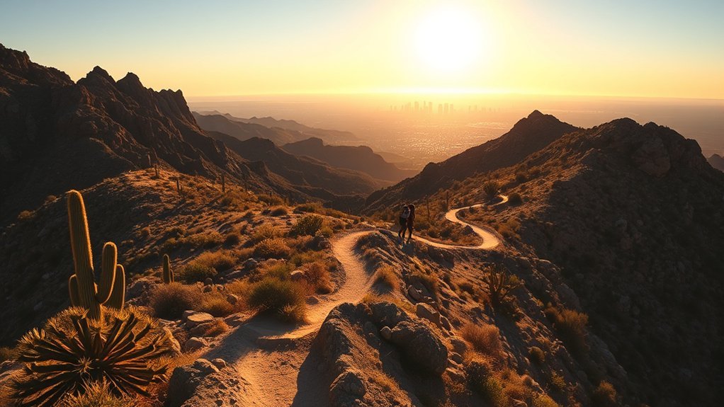
At the top, Dobbins Lookout offers a historic stone observation shelter and 360-degree panoramic views of downtown Phoenix, Camelback Mountain, Piestewa Peak, and the distant Sierra Estrella range. Hikers can rest at shaded stone benches, take in the expansive valley grid, and return down Trail 8 or connect with the Holbert Trail for an extended loop.
Mormon Loop Trail
Located on the northeast flank of the preserve, the Mormon Loop Trail begins at the bustling 24th Street Mormon Trailhead (8610 S 24th St). This trail serves as a primary artery into the interior ridgelines, offering steady climbs, rolling desert valleys, and rugged rock formations.
The trail gains approximately 700 feet over 1.2 miles before merging with the National Trail. Along the ascent, hikers pass historic pioneer-era stonework and interpretive markers highlighting early settlement routes. Because the Mormon Loop is shared by hikers, trail runners, and mountain bikers, maintain trail situational awareness, yield to uphill traffic, and step aside for bikes on narrow switchbacks.
Pro Tip: Parking at the 24th Street Mormon Trailhead fills up quickly on weekends and cool mornings. Arrive by 6:00 AM during peak hiking season (October through April) to secure a parking stall.
Holbert Trail to South Ridge
For a quieter, more sustained physical challenge than the Summit Trail, the Holbert Trail (Trail 7) delivers rugged terrain and solitary canyon climbing. Starting near the South Mountain Environmental Education Center (SMEEC) at the main park entrance, the trail covers approximately 2.5 miles one-way (5.0 miles round-trip) with an elevation gain of nearly 1,100 feet.
The lower section winds past boulder fields featuring ancient Hohokam petroglyphs etched into the dark desert varnish. As you ascend, the tread narrows, climbing through steep rocky ravines toward the main ridgeline. The upper junction connects to Dobbins Lookout or continues west toward Mount Suppoa. Carry extra water on this route, as the thermal radiant heat from the canyon walls amplifies afternoon temperatures.
Hidden Valley via Geronimo
Hikers seeking a less crowded backcountry entry to the preserve’s interior bowl should consider the Geronimo Trail connection into Hidden Valley. Starting at the 20th Street Trailhead, this route offers technical singletrack and rugged boulder canyons.
Trail Route and Features
The Geronimo Trail climbs steadily along rocky ridges and dry desert washes, gaining roughly 900 feet over 2.5 miles before intersecting the National Trail. From this ridgeline junction, hikers drop directly into the secluded basin of Hidden Valley. The landscape is characterized by massive weathered granite boulders, desert wash corridors, and natural desert pocket arches. Scenic outcrops along the route offer dramatic views south toward the Gila River Indian Community and north toward Phoenix.
Difficulty and Tips
The Geronimo route to Hidden Valley is rated moderate to strenuous due to loose scree, steep step-downs, and exposed granite ledges. Sure footing and durable, lugged footwear are essential.
- Navigation: Trail signage at junctions is marked with trail numbers and cairns. Download an offline topographic map, as cellular reception can drop in deep washes.
- Trekking Poles: Bring trekking poles for extra balance on loose rock descents.
- Right-of-Way Etiquette: Downhill hikers yield to uphill hikers; all users yield to equestrians.
- Desert Preservation: Stay strictly on the designated trail tread to prevent erosion and protect biological desert crusts.
National Trail to Mormon Trail Connector
The National Trail (Trail 1) is the 14.3-mile backbone of South Mountain, spanning the entire east-to-west ridgeline of the preserve. Connecting the Mormon Trail to the National Trail creates a highly efficient connector route of under a mile that transitions hikers from valley approaches to high-ridgeline traverses.
This connector segment features compacted dirt switchbacks, short rock steps, and open desert scrub consisting of brittlebush, cholla, and staghorn cactus. Lizards, rock wrens, and desert cottontails are frequently seen along this stretch during early morning hours. This link allows hikers to build custom loop circuits without having to retrace their steps.
Telegraph Pass and Desert Discovery
This section pairs one of South Mountain’s most accessible educational trails with a steep, rewarding mountain climb on the preserve’s southern slopes.
The Desert Discovery Trail is an accessible, paved 0.5-mile loop located near the main park entrance. It serves as an open-air desert classroom equipped with braille-accessible interpretive signs, native plant markers, and shaded rest ramadas that explain Sonoran Desert flora, fauna, and geology.
For an active climb, the Telegraph Pass Trail starts from the Desert Foothills Trailhead in the Ahwatukee Foothills. The trail climbs 1.5 miles along a historic communication corridor to the summit ridge. The lower half follows a gently graded wash before transitioning to steep stone staircases leading to the ridgeline, where hikers can view historic petroglyphs and look north over the entire Phoenix metropolitan basin.
Paseo de Mesquite to Kiwanis Trail
For a scenic mid-mountain trek through rich desert wash habitat, link Paseo de Mesquite with the scenic Kiwanis Trail. Starting from the lower valley picnic ramadas, Paseo de Mesquite provides a level, winding walk through mesquite, blue palo verde, and ironwood groves where javelina, Gambel’s quail, and roadrunners frequently forage.
The path connects directly into the Kiwanis Trail (1.0 mile one-way, 480 feet of elevation gain), which gently climbs through a scenic boulder-lined canyon up to the National Trail and the paved Summit Road near Buena Vista Lookout. This route delivers a balanced 2-to-3-hour round-trip hike with moderate grades and expansive eastern views across Tempe and Mesa.
Hidden Valley to South Mountain Loop
The loop through Hidden Valley via the Mormon and National Trails is widely considered the quintessential South Mountain hiking experience, combining rugged ridgelines with natural obstacle courses.
Trail Route Overview
Starting at the 24th Street Mormon Trailhead, take the Mormon Trail up to the Mormon Loop junction, connect to the National Trail west, and enter the Hidden Valley Trail. The trail passes through Fat Man’s Pass—a narrow, 12-inch slot between massive granite boulders—and proceeds through a smooth rock slide and beneath a natural rock tunnel bridge before looping back to the National Trail.
- Loop Direction: Hiking the loop counter-clockwise provides an easier scramble up the rock formations.
- Landmark Highlights: Watch for Fat Man’s Pass, the Natural Rock Tunnel, and ancient petroglyphs etched onto canyon boulders.
- Distance: Total loop distance is approximately 4.0 miles with ~1,000 feet of total elevation gain.
Elevation & Terrain
The elevation profile consists of a sustained 1-mile climb out of the parking lot, followed by rolling ridgeline transitions and short, punchy scrambles inside the valley basin. The trail surface alternates between firm hardpack, loose gravel, and polished slickrock that requires active hand-and-foot coordination.
“With over 16,000 acres of protected Sonoran wilderness, South Mountain Park stands as the crown jewel of municipal desert preserves in the American Southwest.”
Montezuma and Ahwatukee Overlook
Located on the southern rim of the mountain along the National Trail, the Montezuma Overlook and adjacent Ahwatukee ridgeline view areas offer sweeping panoramas across the South Valley, the Gila River basin, and the Santan Mountains without requiring extreme mountaineering.
- Sunset Timing: Arrive 30 to 45 minutes before dusk to watch the changing color spectrum across the desert floor.
- Night Hiking Gear: If staying for sunset, pack a dedicated headlamp with fresh batteries for the descent.
- Wind Protection: Ridges experience brisk updrafts; pack a lightweight windbreaker.
- Leave No Trace: Remain on durable rock surfaces and stay off fragile desert vegetation.
South Mountain Parkway Bike and Hike Trail
The South Mountain Parkway Trail (Multi-Use Trail) parallels the lower access corridors of the preserve, offering a wide, accessible route for walkers, trail runners, and gravel or mountain cyclists.
Trail Layout Overview
The multi-use trail corridor features a wide, graded pathway running alongside low-elevation washes and valley flats. It serves as a connector between the main activity centers, trailheads, and picnic ramadas, providing clear route markers and informational kiosks at every major road crossing.
Surface and Difficulty
This trail is rated easy, featuring gentle rolling grades and a predictable surface of decomposed granite and compacted soil. It is ideal for families, casual conditioning, and warm-up runs before taking on the steeper mountain ridgelines.
Frequently Asked Questions
Are dogs allowed on the trails at South Mountain Park?
Yes, dogs are permitted on trails but must be kept on a leash no longer than 6 feet at all times. Under Phoenix City Code Section 24-54, dogs are strictly prohibited on all trails whenever the temperature reaches 100°F (38°C) or higher to prevent fatal pet heat exhaustion. Always carry extra water for your dog and clean up all waste.
Are there restrooms available on the trails?
Restroom facilities are located at primary trailheads and developed recreation areas, including the Main Entrance Activity Complex, Pima Canyon Trailhead, Desert Foothills Trailhead, and Dobbins Lookout. Backcountry trail sections have no restroom facilities.
Is there potable drinking water available on-site?
Potable water fountains and bottle-filling stations are available at major developed trailheads, such as the Activity Complex and Pima Canyon. There is no water available along backcountry trails. Hikers should bring at least 1 liter of water per hour of planned activity.
Are any trails in South Mountain stroller- or wheelchair-accessible?
Yes. The Desert Discovery Trail is a fully paved, barrier-free 0.5-mile ADA-accessible loop with shaded benches and interpretive signage. Additionally, the paved overlook area at Dobbins Lookout is accessible by personal vehicle via Summit Road.
What are South Mountain Park’s hours and entry fees?
Admission and parking at South Mountain Park and Preserve are free. Main entrance vehicle gates are open daily from 5:00 AM to 7:00 PM, while park trails remain open for hiking until 11:00 PM.
Sources
- City of Phoenix Parks and Recreation — South Mountain Park and Preserve Official Portal — Park hours, trail maps, and trailhead facility directories.
- City of Phoenix — Take a Hike. Do It Right. Safety Guidelines — Official desert safety rules, hydration guidelines, and Phoenix City Code Section 24-54 regarding the 100°F pet restriction.
- City of Phoenix — Official Trail Maps & Distance Guides — Trailhead coordinates, mileage logs, and elevation data for the National, Mormon, Summit, and Holbert trails.
Conclusion
South Mountain Park and Preserve offers an unmatched desert hiking playground right on Phoenix’s southern doorstep. Whether you choose the challenging climb up the Summit Trail to take in the panoramas at Dobbins Lookout, navigate the boulder mazes of Fat Man’s Pass in Hidden Valley, or enjoy an accessible stroll along the Desert Discovery Trail, the preserve caters to every outdoor ambition. Prepare thoroughly by packing plenty of water, wearing proper lugged footwear, respecting wildlife, and starting early to make the most of this Sonoran Desert landscape.