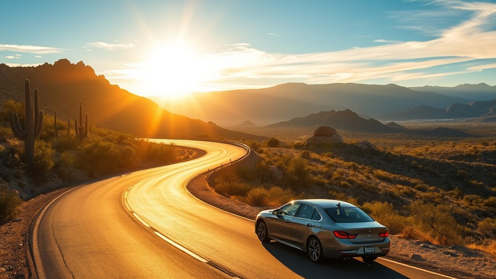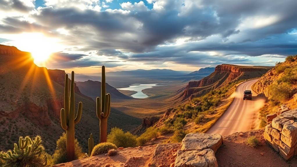
You’ll follow a winding ribbon of desert along Arizona’s Apache Trail scenic drive, passing ghost towns, old mines, and copper-hued canyons that catch the light just right. Each turnout offers a view or story worth pausing for.
Before you go, remember that SR 88 conditions can change with weather and maintenance. Be ready to turn around at any closure point, or use SR 188 to reach Apache Lake and the Roosevelt Dam area from the east.
Key takeaways
- Check live SR 88 status before leaving; closures and rough sections can change quickly.
- Some stretches are suitable only for high-clearance 4WD/UTVs, and trailers may be prohibited in posted areas.
- Services are limited: carry plenty of water, keep fuel topped off, and download offline maps.
- For photos, aim for early morning or golden hour, and pull completely off the road at viewpoints.
Historic Highlights and Must-See Stops
When you drive the Apache Trail, you’ll encounter a series of vivid historical waypoints that reveal Arizona’s mining, engineering, and frontier stories. You’ll find preserved ruins, restored buildings, and interpretive signs that make history tangible. Move deliberately: read plaques, step into small museums when open, and respect fragile sites.
- Goldfield Ghost Town (near Apache Junction) for an easy, family-friendly “ghost town” stop.
- Tortilla Flat for a classic stage-stop vibe and a natural turnaround point if conditions change.
- Fish Creek Vista for interpretive signage and a short, accessible viewpoint walk.
- Roosevelt Dam Overlook (access from SR 188 if needed) for big engineering history and wide water views.
These stops free you from distraction, letting you claim a deeper connection to place and past.
Products Worth Considering

Scenic Viewpoints and Photo Opportunities
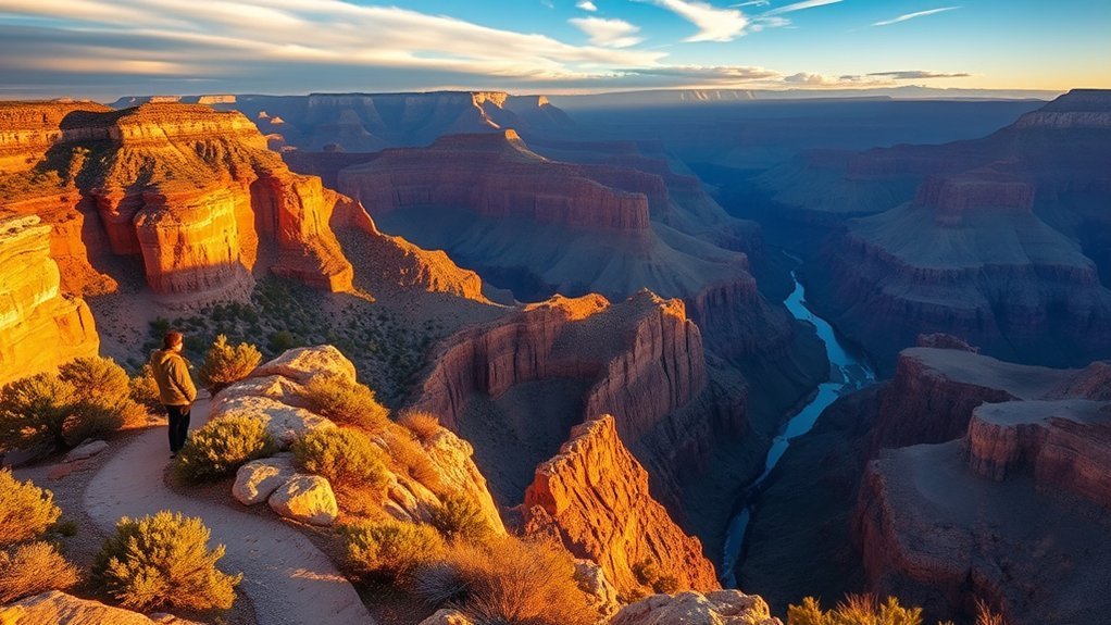
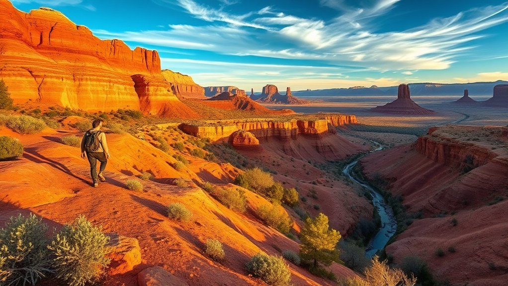
The trail’s tight turns demand your attention, but they reward you with sudden panoramic vistas. Expect copper-hued canyons, glassy reservoir stretches, and ridgelines that sharpen as the light shifts. Use foreground rocks or saguaro silhouettes to anchor wide shots.
Golden hour softens contrasts. Backlight can rim-light ridgelines. Try low angles for depth, negative space for solitude, and bracketing to preserve shadow detail. A handheld telephoto compresses layers; a tripod steadies long exposures at dusk (where safe and legal).
Products Worth Considering

Camera mount tripod stand with zippered storage bag

【Lightweight and Portable】4 section leg can adjust tripod height from 20.4''/52cm to 64.1''/163cm; it can be folded to 15.5''/39.5cm to make it easy to put it in the carrying bag; the net weight with the ball head included is only 2.53lbs/1.15 KG.
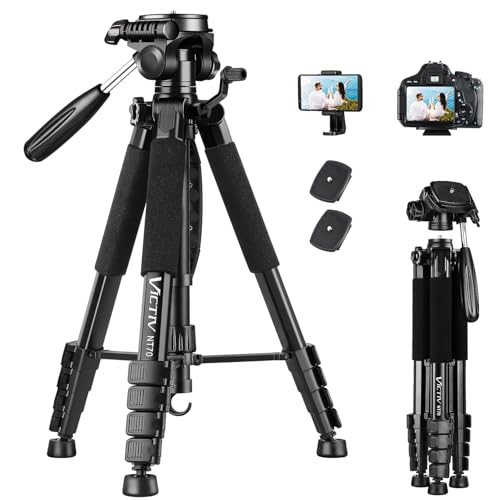
【74 Inch Tall Tripod and Compact Tripod】 This tall camera tripod has a height adjustment range of 19-74 inches. It can meet the needs of daily work. This compact tripod comes with a carrying bag for outdoor and indoor shooting. This compact tripod weighs 3.14 lbs / 1.4 kg and is easy to store and stow
Practical Tips for Driving, Timing, and Safety
Because the desert can change fast, plan your drive with intent. Check weather and AZ511 traveler information for SR 88 conditions, top off fluids and fuel, and leave a trip plan with someone who knows your route and estimated return.
Current access snapshot (as of ):
- Limited reopening (west side): ADOT has reopened a 5-mile unpaved stretch between Fish Creek Vista (around milepost 222) and the Reavis Trailhead Road area (around milepost 227) as a primitive road for high-clearance 4WD vehicles and UTVs.
- Restricted cliff section: The steep section between Fish Creek Vista (milepost 222) and Fish Creek Bridge (milepost 223.5) is posted for 4WD/UTVs only, with no trailers.
- Towing/trailers: If you’re towing a trailer or boat, approach Apache Lake Marina from the east via SR 188.
- East-side improvements: An $18 million federal project to improve an 11-mile section between Apache Lake and the Roosevelt Dam area was completed in July 2025.
Even with these improvements, SR 88 may not function as a continuous, through route at all times. Verify current access points before committing to the full drive.
You’ll move freer if you respect limits: slow for blind corners, watch for washboards, and use extra caution on gravel and narrow stretches. Choose early morning or late afternoon to avoid heat, crowds, and glare. Carry water, a tire repair kit, and a charged phone or satellite messenger. At viewpoints, park fully off the road and signal intentions.
Before you head out, review closures and fire rules on the Tonto National Forest alerts page.
| When | Action | Why |
|---|---|---|
| Morning | Start early | Cooler, quieter |
| Midday | Rest, hydrate | Avoid heat |
| Afternoon | Shoot photos | Best light |
| Rain | Avoid travel | Flash flood risk |
| Night | Don’t drive | Poor visibility |
Products Worth Considering

[🔨PROFESSIONAL QUALITY ] - AUTOWN Tire Repair Kits are made of refined high-quality steel, AUTOWN upgraded tire patch kits comply with exacting standards of audit, can repair the toughest tires on the market.

【Perfect Emergency Repair Solution】This kit includes 40 durable rubber repair screws (2 sizes for different punctures) and 2 tubes of fresh tire sealant—everything you need to fix tubeless tire punctures fast, and it’s definitely a great car tire repair kit to keep in your car for emergencies

DURABLE AND COMFORTABLE: The T-handle tools in the tire plug kit are made of stainless steel, allowing you to easily repair most tires on the market. Featuring ergonomic, rubber-coated handles, they provide greater torque and make it easier to apply force while reducing hand fatigue
Frequently Asked Questions
Are Pets Allowed on Trails and Viewpoints?
Pets are generally allowed in the Tonto National Forest and along the Apache Trail corridor, but rules vary by site. Expect leash requirements in developed recreation areas and wherever signs require it, and keep your pet under control around wildlife, cliffs, and traffic.
Are There Restroom Facilities at Each Stop?
No, you won’t find restroom facilities at every stop. Some have vault toilets or basic facilities, others have none. Even where facilities exist, they can be locked or out of service. Check ahead, and plan breaks.
Is Cell Phone Service Reliable Along the Route?
Cell service is often patchy on this route. You may find pockets of reception near towns and some overlooks, but remote stretches can drop signal. Download offline maps and plan a backup way to communicate.
Are There Accessible (ADA) Trails and Viewpoints?
Yes—there are some accessible viewpoints and short trails. Fish Creek Vista, for example, has accessible parking and an accessible interpretive trail. Conditions can change, so check the latest site information before you go.
Can I Bring a Picnic or Have Open Fires?
You can bring a picnic and use designated areas. For any flame (including charcoal), follow current restrictions and use only approved grills or rings where allowed. Fire orders can change quickly, so check current alerts before lighting anything.
Conclusion
You’ll feel like you’ve stepped into a time machine—at least for a few miles. Wander ghost towns, pause at viewpoints that melt your stress into copper light, and treat every turn as a postcard moment. Plan smart, start early, pack water and patience, and stay off the road when you stop. Drive with respect for history and safety, and the Apache Trail will reward you with memories that glow long after your camera roll.