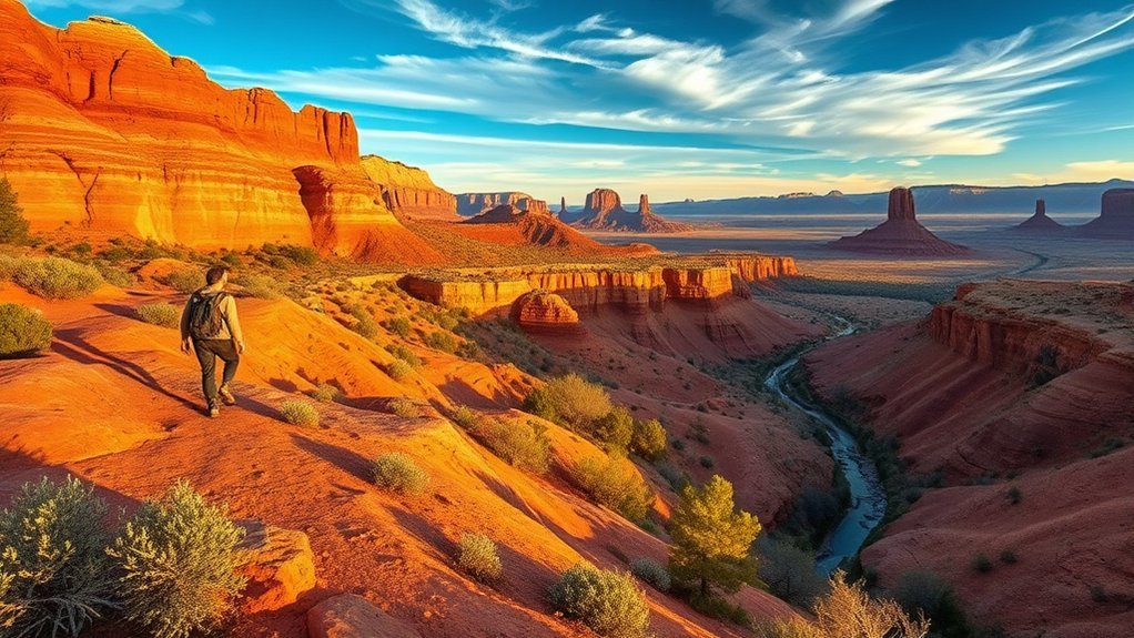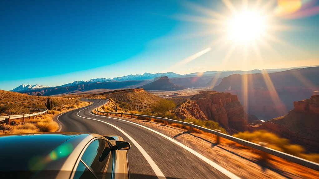
The road trip from Phoenix to the Grand Canyon South Rim is one of the American Southwest’s premier driving journeys, climbing over 6,000 feet in elevation as desert saguaros yield to red-rock canyons and dense ponderosa pine forests. Whether you want a straightforward highway sprint or a full-day scenic detour through Sedona and Oak Creek Canyon, knowing your route options, stopover logistics, park entry fees, and parking rules ensures a seamless adventure.
Quick Answer
The direct drive from Phoenix to Grand Canyon South Rim spans 230 miles via I-17 North and US-180 West / AZ-64 North, taking approximately 3.5 to 4 hours. The scenic alternative via Sedona and Oak Creek Canyon (AZ-179 to AZ-89A) covers 245 miles and takes 4.5 to 6 hours with stops.
Key Takeaways
- Two Primary Routes: The fast route follows I-17 N to Flagstaff and US-180/AZ-64 to the South Entrance; the scenic route diverts through Sedona via AZ-179 and AZ-89A.
- Park Entrance: Vehicle entry is $35 (valid for 7 days) or covered by the $80 America the Beautiful Interagency Pass.
- Beat Peak Crowds: South Entrance gates and Visitor Center parking lots (Lots 1–4) routinely fill between 9:30 AM and 3:30 PM from spring through autumn.
- Dramatic Elevation Shift: Phoenix sits at 1,086 feet, while the Grand Canyon South Rim sits at 7,000 feet; anticipate temperatures 20°F to 30°F cooler at the rim.
At a Glance
| Direct Driving Distance | 230 miles via I-17 N to Flagstaff & US-180 W / AZ-64 N |
| Scenic Driving Distance | 245 miles via Sedona (AZ-179 & AZ-89A Oak Creek Canyon) |
| Time Required | 3.5–4 hours (direct); 5–7 hours (with Sedona / monument stops) |
| Standard Entrance Fee | $35 per private vehicle (7-day pass) or Interagency Annual Pass ($80) |
| Road Conditions Check | Check ADOT real-time updates on AZ511 before departure |
Planning Your Route and Timing
When driving from Phoenix to the Grand Canyon South Rim, your primary decision is choosing between highway efficiency and sightseeing detours. Real-time road and weather conditions can change quickly across Northern Arizona’s high country, so check the Arizona Department of Transportation (AZ511) before leaving the valley.
Route 1: The Direct Highway Route (Fastest)
Distance: ~230 miles | Drive Time: 3.5 to 4 hours
Take Interstate 17 North out of Phoenix directly to Flagstaff (145 miles). From Flagstaff, you have two options:
- US-180 West to AZ-64 North: The standard direct route passing through the San Francisco Peaks and high meadows to the town of Tusayan and the South Entrance.
- I-40 West to Williams, then AZ-64 North: Adds about 10–15 minutes but avoids the two-lane winding segments of US-180, which is useful during winter snowfall or heavy tourist traffic.
Route 2: The Red Rock & Oak Creek Canyon Scenic Route
Distance: ~245 miles | Drive Time: 4.5 to 6 hours (plus stop times)
Depart I-17 North at Exit 298 onto AZ-179 North through the Village of Oak Creek into central Sedona. Continue north on AZ-89A through the dramatic switchbacks of Oak Creek Canyon before rejoining I-17/Flagstaff. This route adds breathtaking views of Bell Rock, Cathedral Rock, and forested canyon streams, though Sedona weekend traffic can cause bottlenecks.
Route 3: The East Rim Entrance via Cameron (Desert View Drive)
Distance: ~250 miles | Drive Time: 4 to 4.5 hours
From Flagstaff, head north along US-89 through the western edge of the Navajo Nation to Cameron, then turn west on AZ-64 West. This brings you into the national park via the Desert View (East) Entrance Station. Entering here lets you experience Desert View Watchtower first and drive west along the rim toward Grand Canyon Village with significantly shorter gate lines during peak midday hours.
Pro Tip: To avoid the notorious 45-to-60-minute wait times at the South Entrance gate in Tusayan between 10:00 AM and 2:00 PM, take Route 3 and enter through the quieter Desert View East Entrance on AZ-64.
Must-See Stops and Scenic Detours
Breaking up the drive turns a transit day into an immersive tour of central Arizona’s archaeological and natural landmarks:
- Montezuma Castle National Monument (Exit 289 off I-17): Located near Camp Verde, this remarkably preserved five-story, 20-room cliff dwelling was built by the Sinagua people over 800 years ago. A paved 1/3-mile loop trail offers direct views under towering sycamores. Visit the NPS Montezuma Castle site for operating hours.
- Sedona Red Rock Overlooks: Pull over along AZ-179 at the Bell Rock Vista or Chapel of the Holy Cross for panoramic sandstone vistas. If parking at trailheads, obtain a Red Rock Pass or display an America the Beautiful pass on your dashboard.
- Slide Rock State Park (AZ-89A): Situated inside Oak Creek Canyon, this historic apple orchard features a natural red sandstone water slide formed by slippery algae in the creek bed.
- Historic Downtown Flagstaff & Route 66: Grab lunch in Flagstaff’s historic railroad district, situated along original alignments of Historic Route 66 at 6,910 feet elevation.
- Cameron Trading Post (US-89): Operating on the Navajo Nation since 1916, this historic outpost serves famous Navajo fry bread tacos and showcases authentic regional Native American pottery, silverwork, and rugs.
Hiking, Viewpoints, and Activities at the Canyon
Upon arriving at the South Rim, balance accessible rim views with structured trail exploration tailored to your daylight and fitness level.
“There is no recovery room in the canyon. Down is optional, but up is mandatory—always budget twice as much time and energy for the ascent as your descent.”
Essential Rim Viewpoints
- Mather Point: Located a 5-minute walk from the Grand Canyon Visitor Center; provides iconic panoramic vistas spanning the canyon’s widest sections.
- Yavapai Geology Museum & Observation Station: Perched directly on the edge of the rim with floor-to-ceiling panoramic windows, offering informative geological exhibits explaining canyon rock strata.
- Desert View Watchtower: A 70-foot stone tower designed by Mary Colter in 1932, featuring internal murals by Hopi artist Fred Kabotie and expansive views of the Colorado River bending north.
- Hermit’s Rest & Hopi Point: Accessible via the free park shuttle bus (Red Route) from March 1 through November 30; Hopi Point provides unobstructed western sunset panoramas.
Recommended Day Hikes
- Rim Trail (Paved / Easy): Spans nearly 13 miles from South Kaibab Trailhead west to Hermit’s Rest. Mostly flat and fully wheelchair-accessible between Mather Point and Grand Canyon Village.
- Bright Angel Trail to 1.5-Mile Resthouse (Moderate): Descends 1,000 vertical feet along well-maintained switchbacks into the canyon. Potable water is seasonally available at the 1.5-Mile and 3-Mile Resthouses.
- South Kaibab Trail to Ooh Aah Point (Moderate / Rugged): A 1.8-mile round trip descending 760 feet with ridge-line views. Note: There is no water along this trail; carry all required hydration.
Warning: Inner canyon summer temperatures regularly exceed 100°F (38°C) in shade, while rim air remains dry and thin. Never attempt to hike from the rim to the Colorado River and back in a single day.
Practical Driving, Parking, and Entry Info
Efficient parking and transit inside the park rely on understanding the Grand Canyon National Park entry rules and free shuttle services.
Entrance Fees and Passes
- Private Vehicle Pass: $35 (valid for 7 days at both South and North Rims).
- Motorcycle Pass: $30 (7 days).
- Individual (Bicycle / Pedestrian / Shuttle Entry): $20 per person.
- Interagency Passes: The $80 America the Beautiful Pass, Senior Pass, Military Pass, and 4th Grade Every Kid Outdoors passes are accepted at all gates.
South Rim Parking & Free Shuttle Bus Network
To reduce traffic congestion, the National Park Service operates four complimentary shuttle routes (see NPS Shuttle Bus Guidelines):
- Village Route (Blue): Connects visitor centers, hotels, campgrounds, and the Backcountry Information Center.
- Kaibab Rim Route (Orange): Serves South Kaibab Trailhead, Yaki Point, and Pipe Creek Vista (closed to private vehicles year-round).
- Hermit Road Route (Red): Operates March 1 through November 30 along the 7-mile scenic western rim drive (closed to private vehicles during these months).
- Tusayan Route (Purple): Runs during peak summer months, allowing visitors to park in Tusayan and ride the shuttle directly through the gate, bypassing vehicle entry queues.
Note: Parking lots at the Grand Canyon Visitor Center (Lots 1, 2, 3, and 4) are typically full by 10:00 AM on summer days and holiday weekends. If full, proceed to Lot D in Grand Canyon Village near the Backcountry Center or park in Tusayan to ride the Purple Shuttle.
Safety Tips, Gear, and Local Eats
Essential Gear Checklist
| Hydration (1 Gallon/Person) | High elevation and dry air cause rapid dehydration; carry reusable bottles to refill at park spring-fed water stations. |
| Thermal Layers & Windbreaker | Morning and sunset temperatures at 7,000 feet drop sharply even during summer. |
| Offline Navigation / Paper Map | Cellular service is patchy along US-180, AZ-64, and inside the canyon rim boundaries. |
| Sturdy Lugged Footwear | Prevents slipping on loose limestone scree along rim and canyon trails. |
Where to Eat Along the Route
- Rock Springs Cafe (Black Canyon City, I-17 Exit 242): A famous Arizona roadhouse serving hearty breakfasts and legendary fresh-baked fruit and cream pies since 1918.
- Proper Meats + Provisions (Historic Downtown Flagstaff): Local butcher shop and deli serving artisan sandwiches made with Arizona-raised meats.
- El Tovar Dining Room (South Rim Historic District): Landmark fine dining overlooking the rim; reservations are required months in advance for dinner, though lunch and breakfast accommodate walk-ins.
- Plaza Bonita (Tusayan): Casual Mexican restaurant located one mile outside the south gate, popular for fajitas and quick post-hike meals.
Frequently Asked Questions
Can I take a guided helicopter tour from Phoenix to the Grand Canyon?
Yes. Several aviation companies operate direct day tours from Phoenix-area airports (such as Scottsdale Airport and Deer Valley) directly to the Grand Canyon South Rim or West Rim. Alternatively, you can drive to the Grand Canyon National Park Airport in Tusayan (located 10 minutes south of the rim) and take a 25-to-45-minute scenic helicopter flight over the Dragon Corridor.
Are there pet-friendly lodging options along the route?
Yes. Flagstaff, Williams, Sedona, and Tusayan feature numerous pet-friendly hotels and motels (such as La Quinta, Best Western, and retro motor lodges). Inside Grand Canyon National Park, Yavapai Lodge offers designated pet-friendly rooms. Dogs are permitted on all paved rim trails (on a 6-foot leash) but are prohibited below the rim on inner canyon trails.
What mobile carriers have the best service on the drive?
Verizon and AT&T offer the most consistent coverage along the I-17 corridor, Flagstaff, and around Grand Canyon Village. T-Mobile provides good connectivity in larger towns but experiences dead zones along stretches of US-180, AZ-64, and Oak Creek Canyon (AZ-89A). Always download offline Google Maps or Apple Maps before leaving Phoenix.
Can I rent an electric vehicle and find charging stations en route?
Yes. The Phoenix-to-Grand-Canyon corridor is well-equipped with DC Fast Charging (Tesla Superchargers, Electrify America, and EVgo). Fast-charging hubs are located in Anthem, Cordes Lakes, Sedona, Flagstaff, Williams, and the Grand Canyon Visitor Center in Tusayan. In addition, Level 2 destination chargers are available at several South Rim lodges including Yavapai Lodge and Maswik Lodge.
Are there any annual events or festivals at the Grand Canyon?
Key annual park events include the Grand Canyon Star Party (held every June, offering free telescope viewing under certified Dark Sky conditions), the Grand Canyon Music Festival (held in late summer), and the Celebration of Art (each September, featuring plein-air artists painting along the rim).
Conclusion
A road trip from Phoenix to the Grand Canyon combines dramatic desert topography, rich indigenous heritage, and world-class geological vistas in a single day of travel. By picking the route that matches your travel pace—whether the direct 3.5-hour highway corridor or a leisurely detour through Sedona’s red-rock passes—you ensure a memorable journey. Pack layers for the 7,000-foot rim elevation, download offline maps, arrive early to secure parking, and give yourself ample time to take in the sheer scale of the canyon.
Sources
- National Park Service: Grand Canyon National Park — Official park alerts, rim shuttle schedules, hiking trail conditions, and entrance fee regulations.
- National Park Service: Montezuma Castle National Monument — Archaeological preserve information, trail access, and hours along the I-17 corridor.
- Arizona Department of Transportation (AZ511) — Real-time Arizona road conditions, high-country weather warnings, and highway construction closures.
- NPS Grand Canyon Shuttle Bus System — Operating schedules and route maps for the South Rim transit routes.