Looking for the best hiking trails near Bentonville? You can stick close to town for an easy walk, or drive a bit for longer Ozark hikes. This guide covers reliable options for beginners, families, and experienced hikers.
Key takeaways
- Easy + close: Downtown Trail, Crystal Bridges, and the Razorback Regional Greenway.
- More miles: Hobbs State Park–Conservation Area, plus Coler and Slaughter Pen (these are busy with bikes).
- Waterfalls: Tanyard Creek and Blowing Springs in Bella Vista, or a longer day trip to Buffalo National River.
Top Hiking Trails in Bentonville
These are the most practical places to start if you want a great hike without a lot of planning:
- Crystal Bridges Trails & Grounds: the museum lists more than five miles of trails on its property, open daily from sunrise to sunset.
- Crystal Bridges Trail (City of Bentonville): a 1-mile city connector near the museum area.
- Razorback Regional Greenway: a paved regional route that runs about 40 miles from Bella Vista to Fayetteville, with many access points along the way.
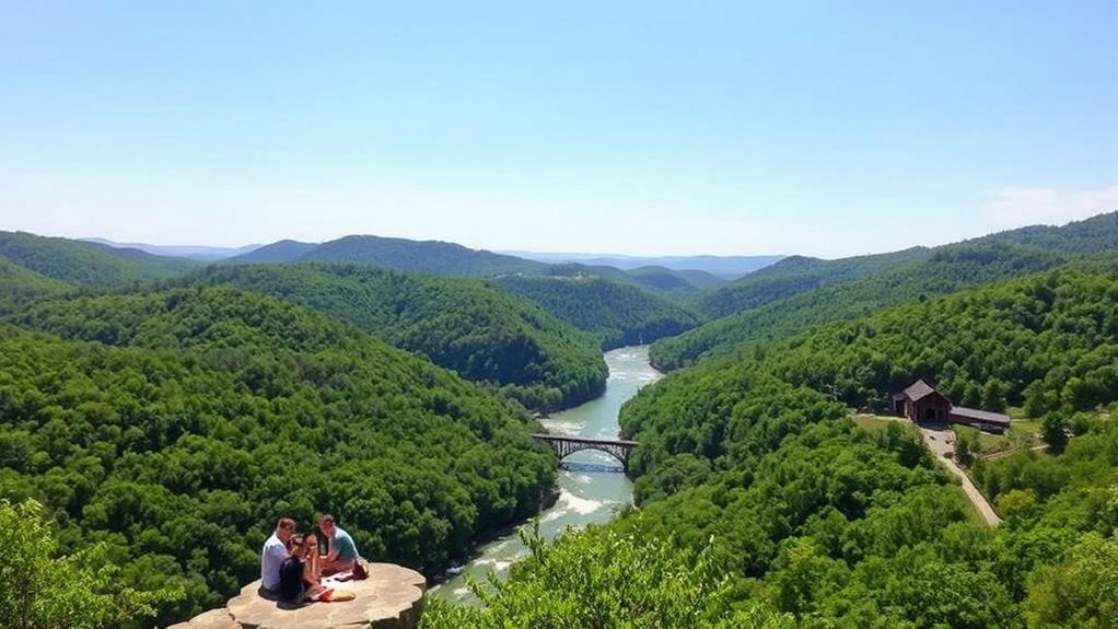
- Hobbs State Park–Conservation Area (Rogers): Arkansas State Parks lists a 54-mile trail system along Beaver Lake.
- Coler Mountain Bike Preserve (spanning 17+ miles) and Slaughter Pen Trails: large, popular trail systems inside Bentonville. They are built for biking, but walkers can still enjoy many sections if you follow trail rules and stay alert.
Easy Trails for Beginners
If you’re new to hiking, start with short, well-marked routes and add distance over time.
Scenic Nature Walks
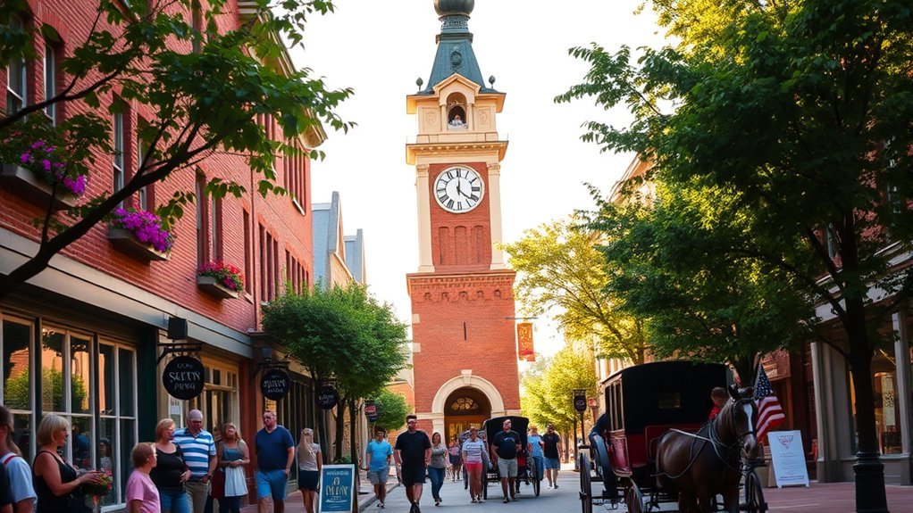
The Downtown Trail is a simple 1.5-mile route that connects the Greenway with parks and public spaces downtown. Crystal Bridges’ grounds are another easy win, with short loops, creek views, and outdoor art.
Family-Friendly Options
For families, look for shade, easy parking, and places to stop. Crystal Bridges and the Greenway make it easy to turn around at any point. In Bella Vista, Tanyard Creek Nature Trail is a popular 2.2-mile loop with a small waterfall view.
Short and Accessible
| Trail Name | Distance | Highlights |
|---|---|---|
| Crystal Bridges Trail (City connector) | 1 mile | Museum-area walk; links to other paths |
| Downtown Trail | 1.5 miles | Easy access; connects to Greenway |
| Tanyard Creek Nature Trail (Bella Vista) | 2.2-mile loop | Creek scenery + waterfall overlook |
Moderate Trails for Skill Development
When you’re ready for more challenge, add a few miles and try dirt surfaces.
Skill-Building Trail Options
At Hobbs, the Wolf Den Loop and other park trails give you rolling terrain and lake-country scenery. For a waterfall loop closer to Bentonville, the Blowing Springs trails in Bella Vista are a well-known option.
Balancing Challenge and Enjoyment
Many Bentonville-area routes are multi-use. Expect bikes, keep right, and give a clear warning when you pass.
Challenging Trails for Experienced Hikers
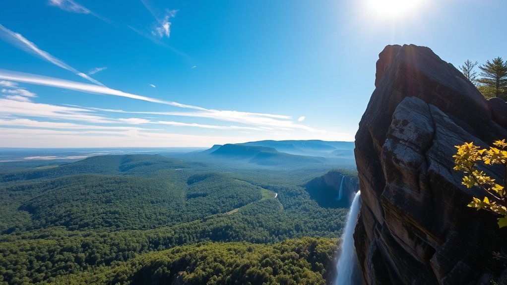
For longer days, Hobbs is a strong choice. Arkansas State Parks lists the 8.4-mile Pigeon Roost Trail and a 24-mile Hidden Diversity multi-use trail system. Bella Vista’s Back 40 Loop is a famous 21-mile loop for endurance. If you want a classic Ozark view hike, Devil’s Den State Park’s Yellow Rock Trail is a 3-mile climb to a scenic overlook.
Scenic Features and Wildlife Observation
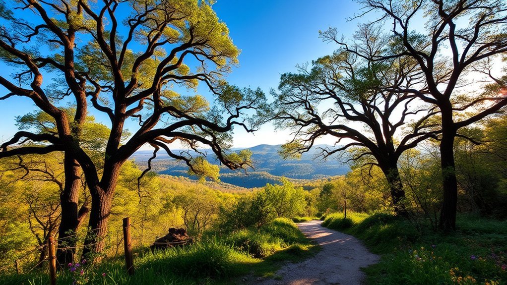
Expect creek crossings, hardwood forests, and spring wildflowers. Crystal Bridges mixes Ozark woods with outdoor art. Hobbs adds Beaver Lake views. For quick waterfall stops, try Tanyard Creek or Blowing Springs.
Family-Friendly Hiking Options
For an easy family outing, start with the Downtown Trail, Crystal Bridges, or a short Greenway segment. Pack snacks, take breaks, and turn around early if needed.
Tips for a Successful Hiking Experience
- Start small: Choose a short trail first, then add distance later.
- Bring water: Even easy walks feel harder in summer heat.
- Follow local rules: Review Bentonville trail rules and check updates for places like Hobbs State Park–Conservation Area before you go.
Frequently Asked Questions
Are dogs allowed on the hiking trails in Bentonville?
Often, yes. Bentonville trail rules and Greenway guidance call for dogs to be leashed and under control. Always follow posted signs. If you plan a day trip, note that some popular hikes (like Lost Valley Trail at Buffalo National River) do not allow pets, except service animals.
What is the best time of year to hike in Bentonville?
Spring and fall are usually the most comfortable. Summer can work too if you go early and carry water.
Are there any guided hikes available in the area?
Yes. The City of Bentonville runs seasonal outdoor programs, and Arkansas State Parks also offers year-round interpretive programming.
How do I access the hiking trails from downtown Bentonville?
Use the Downtown Trail to connect into the Razorback Regional Greenway and nearby park paths.
Is there parking available at the trailheads?
Yes. Many trailheads have dedicated parking. The City lists parking for the Crystal Bridges Trail at Compton Gardens and at the A Street trailhead.
Conclusion
Bentonville makes it easy to get outside fast. Start with an easy in-town walk, then level up to Hobbs or a longer Ozark hike when you’re ready.