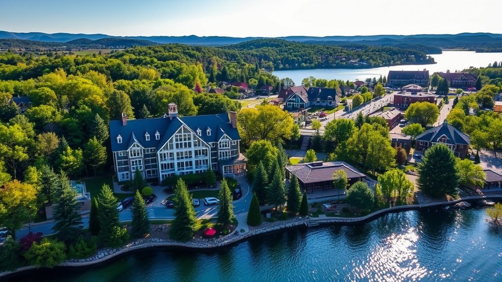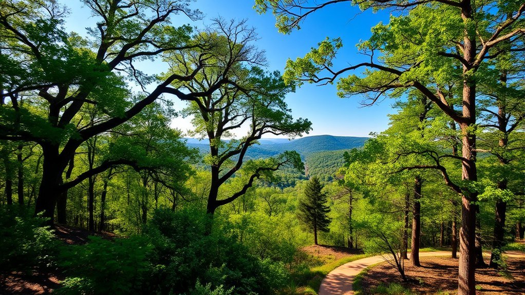
If you’re looking for the best hikes near Fort Smith, Arkansas, you have two very different choices: easy city trails close to the Arkansas River and more rugged Ozark hikes within driving distance. Families can stay on paved or gentle routes, while experienced hikers can head toward Lake Fort Smith, White Rock Mountain, and Devil’s Den for steeper terrain and longer adventures.
Quick Answer
For an easy hike near Fort Smith, start with the Greg Smith River Trail, Ben Geren Trail system, or the trails around the Janet Huckabee Nature Center. For bigger Ozark scenery, White Rock Mountain and Yellow Rock Trail at Devil’s Den are stronger day-trip choices. Experienced backpackers can access the Ozark Highlands Trail from Lake Fort Smith State Park.
Key Takeaways
- Best easy local option: Greg Smith River Trail is a mostly flat, multi-use route along the Arkansas River.
- Best variety in town: Ben Geren Regional Park has paved and natural-surface trails for walkers, hikers, and mountain bikers.
- Best short scenic day trip: White Rock Mountain’s rim trail circles the mountaintop with broad Ozark views.
- Best overlook hike: Yellow Rock Trail at Devil’s Den climbs to a clear view over Lee Creek Valley.
- Best for backpackers: Lake Fort Smith State Park is the western terminus of the Ozark Highlands Trail.
Overview of Hiking Trails in Fort Smith
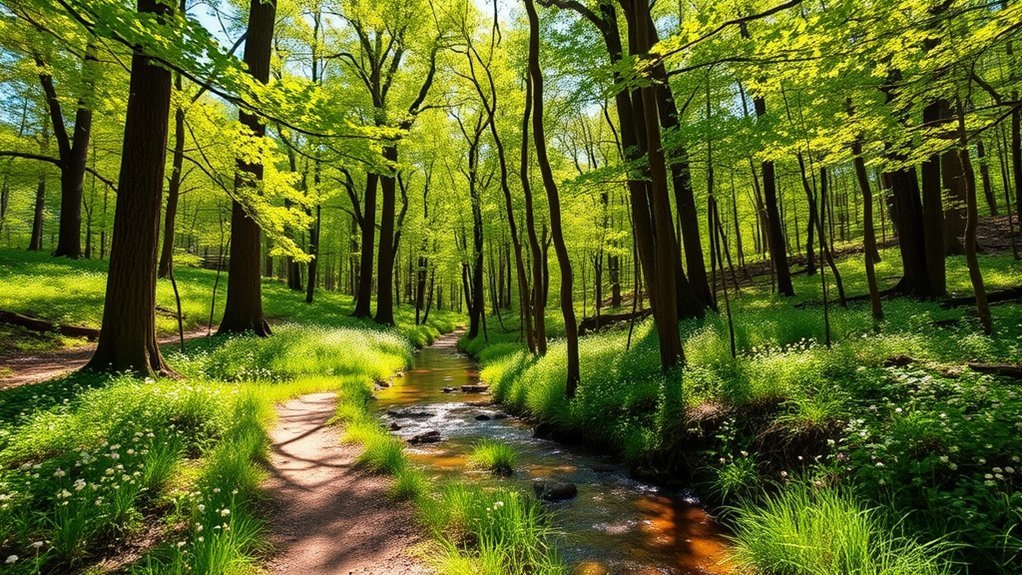
Fort Smith gives you access to both urban walking trails and rugged mountain routes. The City of Fort Smith lists several paved and multi-use trails, while nearby county parks, state parks, and the Ozark-St. Francis National Forest add natural-surface hiking and backpacking options. That makes the area useful for everyone from beginners to experienced hikers.
One number in older trail-app listings claimed there were 143 hiking trails near Fort Smith. That is not a reliable count of official local trails, because app search radiuses can include routes far outside the city and can change over time. It is more useful to compare named, maintained trails and trail systems from the agencies that manage them.
Best Hikes Near Fort Smith at a Glance
| Trail or Area | Best For | What to Expect |
| Greg Smith River Trail | Easy walking, biking, families | About 6.3 miles along the Arkansas River, mostly flat and multi-use |
| Ben Geren Regional Park | Local variety | Paved paths plus rugged hiking and mountain-bike trails |
| Janet Huckabee Arkansas River Valley Nature Center | Families, wildlife, short walks | Trails through a 170-acre nature-center property around Wells Lake |
| White Rock Mountain Rim Trail | Scenic Ozark views | A short mountaintop loop with exposed viewpoints and rocky footing |
| Yellow Rock Trail | Moderate day hike | 3 miles, about 300 feet of climbing, rock formations, and a Lee Creek Valley overlook |
| Lake Fort Smith State Park | Long hikes and backpacking | Trail access, camping, cabins, marina, and the western terminus of the Ozark Highlands Trail |
Trail Difficulty Ratings
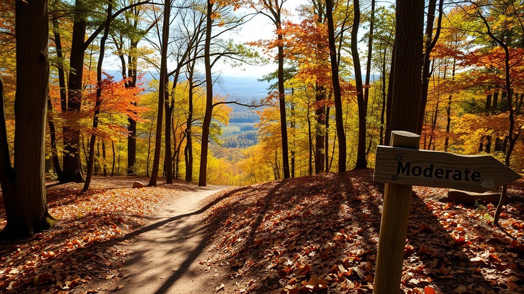
Trail difficulty is not perfectly standardized. A route that feels easy on pavement may become difficult when heat, mud, loose rock, creek crossings, or elevation are added. Use ratings as a starting point, then check distance, surface, elevation change, weather, and current trail conditions before you go.
- Easy: Greg Smith River Trail and many paved Fort Smith paths are mostly flat and suitable for casual walking.
- Easy to moderate: The White Rock Mountain rim is short, but rocky footing and exposed overlooks mean children need close supervision.
- Moderate: Yellow Rock Trail is officially rated moderate and climbs about 300 feet over its 3-mile route.
- Difficult: Longer sections of the Ozark Highlands Trail can involve steep grades, remote terrain, water crossings, and backpacking logistics.
The older article also listed the Campground D via Yellorock Trail and Devils Den Path as a 7.1-mile moderate hike and a Boardstrand Loop as a difficult route over 17 miles. Those names come from crowd-sourced route combinations rather than a clear official Fort Smith trail list. For Devil’s Den, use the park’s named trails, such as Yellow Rock or Butterfield, instead of relying on a stitched app route. Likewise, do not treat Boardstrand Loop as a primary Fort Smith recommendation unless you can confirm its exact trailhead and current land-management status.
Pro Tip: If you are new to hiking around Fort Smith, start with a paved city trail or the first mile of Ben Geren’s paved trail system. Move to White Rock or Yellow Rock after you know how you handle rocky surfaces, climbs, heat, and longer time on your feet.
Popular Hiking Trails
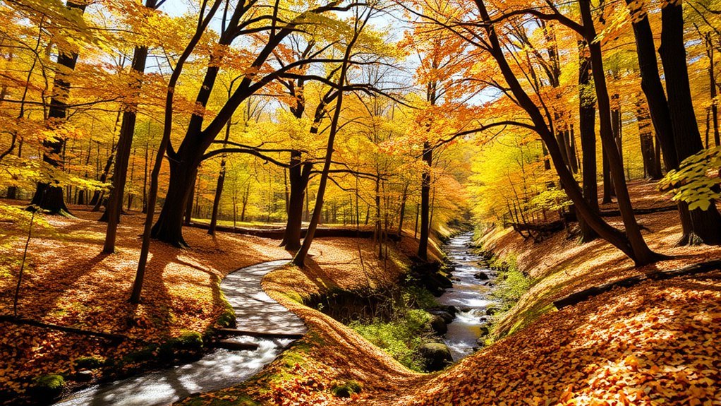
If you’re eager to explore the best hiking trails near Fort Smith, choose by the experience you want rather than by a single ranking. Some of the strongest options are right in town, while the most dramatic mountain scenery requires a drive into the Ozarks.
Greg Smith River Trail
The Greg Smith River Trail is one of the easiest choices for a relaxed outing. The City of Fort Smith says the route extends approximately 6.3 miles along the Arkansas River and includes paved sections, seating areas, a pedestrian bridge, and connections to several riverfront destinations. Because it is mostly flat and multi-use, it works well for walking, jogging, cycling, and family outings.
Ben Geren Regional Park Trails
Ben Geren Regional Park is a better choice when you want more variety. Sebastian County reports more than 7.5 miles of paved trails and more than 14 miles of rugged trails used by hikers and mountain bikers. The first mile of the paved trail is ADA-accessible, while natural-surface routes add more challenge. The city also identifies a 1.8-mile paved Ben Geren Trail that connects with other local paths.
Because many trails are shared with bikes, stay alert at corners and narrow sections. Sebastian County also warns users not to use natural-surface trails when they are wet because footprints and tire tracks can worsen erosion.
Janet Huckabee Arkansas River Valley Nature Center
For a quieter family outing, the Janet Huckabee Arkansas River Valley Nature Center combines short trails, wildlife viewing, and Wells Lake. The Arkansas Game and Fish Commission says the center sits on 170 acres and has a series of trails through the property. This is a good option when your group wants nature without committing to a long mountain hike.
White Rock Mountain Rim Trail
White Rock Mountain is one of the best nearby choices for big scenery. The U.S. Forest Service describes a short loop around the mountaintop rim and a much longer route connecting White Rock with Shores Lake and the Ozark Highlands Trail. The rim route is short enough for many casual hikers, but the rocky surface and exposed overlooks require careful footing.
Warning: Access roads and forest conditions can change after storms. Before driving to White Rock Mountain, check the U.S. Forest Service recreation page and current Ozark-St. Francis National Forest alerts, especially if recent heavy rain or road damage has occurred.
Yellow Rock Trail at Devil’s Den
Yellow Rock Trail is a more traditional day hike. Arkansas State Parks lists it as a 3-mile moderate route that takes about two hours and climbs roughly 300 feet to an unobstructed view of Lee Creek Valley. Along the way, you pass cedar glades, rock formations, and historic park features.
The older article’s 7.1-mile “Campground D via Yellorock Trail” route is a crowd-sourced combination, not the clearest official choice for first-time visitors. Following the named Yellow Rock Trail makes planning simpler.
Ozark Highlands Trail from Lake Fort Smith
The Ozark Highlands Trail is for hikers who want a serious outing or backpacking trip. Lake Fort Smith State Park is its western terminus. Older app listings sometimes describe a 17.4-mile route as “the Ozark Highlands Trail,” but that is only a selected route or segment, not the full long-distance trail. Plan by a specific section, turnaround point, water source, and daylight window.
Natural Features and Scenery
The Fort Smith area sits close to very different landscapes. In town, you can walk beside the Arkansas River, Massard Creek, parkland, and wetlands. North of the city, the terrain becomes more rugged, with oak and hickory forest, sandstone bluffs, rocky ridges, creek valleys, and broad Ozark overlooks.
White Rock Mountain is known for wide mountain views, while Yellow Rock overlooks Lee Creek Valley. The Janet Huckabee Nature Center offers easier wildlife viewing around Wells Lake. On quieter forest trails, you may see deer, birds, reptiles, or other native wildlife, but sightings are never guaranteed.
Photography is best when you give yourself time. Early morning and late afternoon often produce softer light, while fall can bring strong color. After heavy rain, seasonal creeks and wet-weather waterfalls may be more active, but the same rain can also make natural-surface trails muddy or unsafe.
Health Benefits of Hiking
Hiking gets you moving, strengthens your legs, and can raise your heart rate. It also gives you time outdoors away from traffic, screens, and daily routines. You do not need a difficult mountain trail to benefit. A steady walk on the Greg Smith River Trail can still be useful physical activity.
Physical Fitness Improvement
Walking and hiking use your legs, hips, and core while building endurance over time. Hills and uneven ground add more work than a flat sidewalk, but they also demand more balance and control. If you are new to hiking, increase distance gradually instead of jumping straight into a long Ozark route.
Hiking is often lower impact than running, but it is not risk-free. Rocky trails can stress ankles and knees, especially when you are tired. Supportive footwear, a comfortable pace, and trekking poles can help on uneven terrain.
Mental Well-Being Boost
Time outdoors can also support mental well-being. A quiet walk gives you a break from routine stress and can make it easier to focus on your surroundings. You might notice birds, wind, water, changing light, or the rhythm of your steps instead of checking a screen every few minutes.
- Use the walk as a chance to slow down and reset.
- Choose a distance that feels achievable instead of exhausting.
- Hike with a friend or family member if you enjoy social time outdoors.
- Stop at viewpoints rather than rushing to finish.
- Turn around early if heat, pain, fatigue, or weather makes the hike less enjoyable.
With every step, you can combine movement, fresh air, and time away from everyday distractions.
Nature Exposure Benefits
Nature adds variety that a treadmill cannot. Riverfront views, forest shade, wildlife sounds, and changing seasons can make a walk feel more engaging. That often makes it easier to keep an active routine because the experience itself is part of the reward.
Regular outdoor time can also create social opportunities. Fort Smith’s paved trails work well for walking with family or friends, while group hikes and state-park programs can introduce you to new places and skills.
Family-Friendly Hiking Options
If you’re searching for family-friendly hiking options near Fort Smith, focus on short routes, easy navigation, shade, rest opportunities, and a simple turnaround plan. Wildlife spotting can be a bonus, but the best family trail is usually the one that matches the youngest hiker’s energy and attention span.
For families, a shorter trail with an easy exit is usually a better choice than a longer route selected only because it has a famous viewpoint.
- Ben Geren Trail and paved park paths: The city identifies a 1.8-mile paved Ben Geren Trail, while the broader park has many more paved and natural-surface options.
- Greg Smith River Trail: You do not need to walk all 6.3 miles. Pick a riverfront section and turn around when your group is ready.
- Janet Huckabee Nature Center: Trails, wildlife, and Wells Lake make this a flexible family stop.
- White Rock Mountain Rim: The short loop can work for older children who are steady on rocky ground, but adults should supervise closely near exposed overlooks.
- Last Call Trail: Older app-generated Fort Smith lists included a 2.4-mile “Last Call” route, but Last Call is associated with the Fayetteville area, so it should not be treated as a nearby Fort Smith family hike.
Get outdoors, keep the day flexible, and stop while everyone is still having fun.
Tips for a Successful Hike
To make the most of your hiking experience, pack for the actual trail rather than the photo you hope to take. A paved riverfront walk needs less equipment than a remote Ozark section, but every hike benefits from water, weather awareness, navigation, and a basic plan.
Essential Hiking Gear
For a short local walk, you can keep your load simple. For longer or more remote trails, add enough gear to handle a delay, wrong turn, sudden weather change, or minor injury.
- Comfortable, moisture-managing clothing suited to the forecast
- Walking shoes or hiking footwear with good traction
- Water and snacks
- Phone plus an offline map or paper map for remote areas
- Basic first-aid supplies
- Sun protection, including sunscreen, sunglasses, and a hat
- Flashlight or headlamp if there is any chance you will finish near sunset
- Extra layer or rain protection when conditions are uncertain
Stay Hydrated and Nourished
Bring enough water for the weather, distance, and your own needs. The old advice to drink exactly “half a liter per hour” is too rigid for every person and every condition. Heat, humidity, body size, pace, and trail difficulty all change how much fluid you may need. Drink regularly, carry more in hot weather, and do not assume a creek or spring is safe to drink from without proper treatment.
Before a longer hike, eat a normal meal with carbohydrates and protein. Pack easy snacks such as fruit, trail mix, crackers, or an energy bar. On hot days, start early, take shade breaks, and turn around if anyone develops dizziness, nausea, confusion, unusual weakness, or other signs of heat illness.
Note: Cell service can be inconsistent on remote Ozark trails. Tell someone where you are going, which trailhead you are using, and when you expect to return.
Local Amenities and Facilities
The original facilities list was accurate in several details but needed a location. Those amenities belong specifically to Lake Fort Smith State Park, not to every hiking area around Fort Smith.
Lake Fort Smith State Park currently lists:
- 30 campsites, including Class AAA and Class B sites
- 10 cabins
- A visitor center with exhibits and programs
- A seasonal swimming pool
- A marina with boat rentals
- Picnic areas, a pavilion, and group facilities
- Restrooms in the campground/picnic area from March through November
The park’s current rate page also lists the 16-foot motorboat at $85 per day and a canoe at $40 per day, while the visitor-center meeting room is listed at $145 per day. These are park-specific prices and can change, so confirm them on the official Lake Fort Smith State Park page before making plans.
If camping is part of your trip, Lake Fort Smith is a convenient base for hiking and backpacking. Devil’s Den also offers camping and cabins, while White Rock Mountain has developed recreation facilities. Always check seasonal hours, road conditions, and reservation requirements before driving out.
Frequently Asked Questions
What is the best time of year to hike in Fort Smith?
Fall is a favorite because temperatures are often more comfortable and the Ozarks can show strong foliage color. Spring is also a good hiking season. Summer can be hot and humid, so start early, carry extra water, and choose shaded or shorter routes when temperatures are high.
Are there guided hiking tours available in the area?
Yes. Lake Fort Smith State Park says park interpreters lead nature hikes and lake tours year-round, and other Arkansas State Parks schedule guided programs and hikes. Check the official park event calendar for the date of your visit rather than assuming a tour runs every day.
Can I bring my dog on the hiking trails?
Dogs are allowed on many area trails, but rules differ by land manager. In the Ozark-St. Francis National Forest, dogs must be restrained in developed recreation sites and kept under verbal or physical control on trails. Use a leash around other visitors, carry water for your dog, and pack out pet waste.
Are there camping facilities near the hiking trails?
Yes. Lake Fort Smith State Park has campsites and cabins and sits at the western terminus of the Ozark Highlands Trail. Devil’s Den State Park also has camping and cabins. White Rock Mountain Recreation Area has developed camping options as well. Check current availability and seasonal access before your trip.
What should I pack for a day hike in Fort Smith?
Pack water, snacks, sun protection, a phone, a map or offline navigation, and basic first-aid supplies. Wear shoes with enough traction for your route. For remote or longer hikes, add a headlamp, extra layer, rain protection, and more food and water than you would carry for a short paved walk.
Which hike near Fort Smith has the best scenic overlook?
White Rock Mountain and Yellow Rock Trail are two of the strongest choices for broad Ozark views. White Rock offers mountaintop scenery, while Yellow Rock looks across Lee Creek Valley. Both require more care than a paved city trail because of rocky footing and exposed viewpoints.
Sources
- City of Fort Smith Walking Trails – Greg Smith River Trail, Chaffee Crossing, and local paved trail details.
- Sebastian County Ben Geren Park – paved and rugged trail mileage, accessibility, trail etiquette, and current park guidance.
- Arkansas Game and Fish Commission: Janet Huckabee Arkansas River Valley Nature Center – property size, trail presence, and Wells Lake information.
- U.S. Forest Service: White Rock Mountain Recreation Area – White Rock trail system and recreation information.
- Lake Fort Smith State Park – Ozark Highlands Trail access, camping, cabins, marina, seasonal facilities, and current listed rental rates.
- Arkansas State Parks: Yellow Rock Trail – official distance, difficulty, estimated time, elevation gain, and overlook details.
Conclusion
So, lace up your boots and choose a trail that fits the day you actually want. For an easy outing, stay close to Fort Smith on the Greg Smith River Trail, Ben Geren paths, or the Janet Huckabee Nature Center trails. For bigger views, head toward White Rock Mountain or Yellow Rock Trail. If you are ready for a longer backcountry challenge, Lake Fort Smith gives you access to the Ozark Highlands Trail. Check current conditions, carry enough water, and turn around before weather, heat, or fatigue turns a good hike into a risky one.