

If you’re in Tempe and itching to get outside, you’ve got hikes for every mood and fitness level within a short drive. From the easy, family-friendly walks and the sculpted Hole-in-the-Rock at Papago to steep, rewarding ascents on Camelback and Piestewa, the desert delivers big views and surprising variety. I’ll show you the best trails, what to expect on each, and when to go so you can pick the perfect route.
Papago Park: Hole-in-the-Rock and Easy Scenic Loops
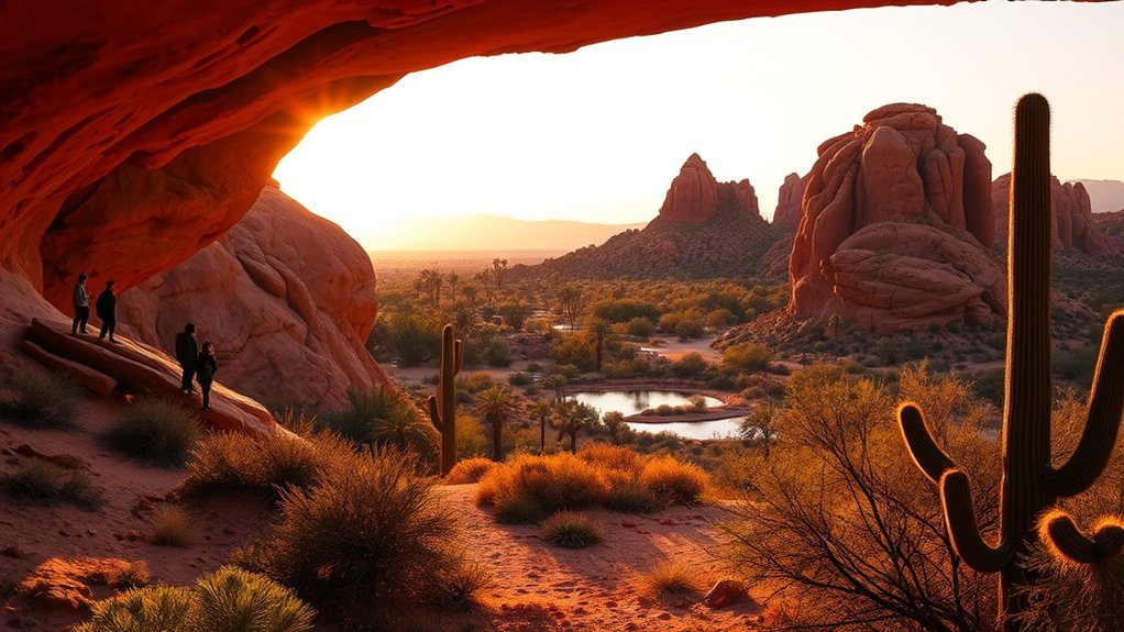
Start your Papago Park visit at the iconic Hole-in-the-Rock, an easy, family-friendly climb that rewards you with panoramic views of Tempe, the Phoenix skyline, and the surrounding desert ridges. From that lookout, you’ll find a network of short, well-marked loops weaving through red sandstone buttes, desert wildflowers, and scattered saguaro silhouettes. Trails like the Double Butte Loop and the Park Trail are mostly flat, compacted dirt and rock, so you won’t need technical gear—just sturdy shoes, water, and sun protection. Interpretive signs highlight local geology and native plants, helping you spot petroglyph-like formations and the adaptations of creosote and prickly pear. Early morning and late afternoon offer the best light and cooler temperatures; weekends can be busy, so arrive early if you want quieter paths. You’re welcome to picnic in shaded ramadas or take photos from every angle—Papago’s compact, scenic loops make for a relaxed, rewarding half-day outing.
South Mountain Park: Dobbins Lookout and National Trail Options
Perched above the city, Dobbins Lookout gives you one of the most dramatic panoramas in the Valley of the Sun—sweeping views of downtown Phoenix, Tempe, and the Salt River basin that are especially striking at sunrise or sunset. From the paved overlook you’ll soak in the vista, then hit the network of National Trail routes that fan out across rocky ridges and desert washes. Trails vary from short scenic strolls to sustained climbs with rewarding views, and you’ll find well-marked junctions and shady saguaros along the way.
- Mormon Loop: a classic, moderate loop with rolling climbs and wildflower displays in season.
- National Trail: longer connector segments that link to quieter ridgelines and lookout points.
- Dixie Mountain: steeper options that give you expansive skyline perspectives without technical scrambling.
You’ll want water, sun protection, and steady shoes; early starts beat heat and bring softer light for photos. South Mountain’s trails deliver sweeping scenery and varied terrain just minutes from Tempe.
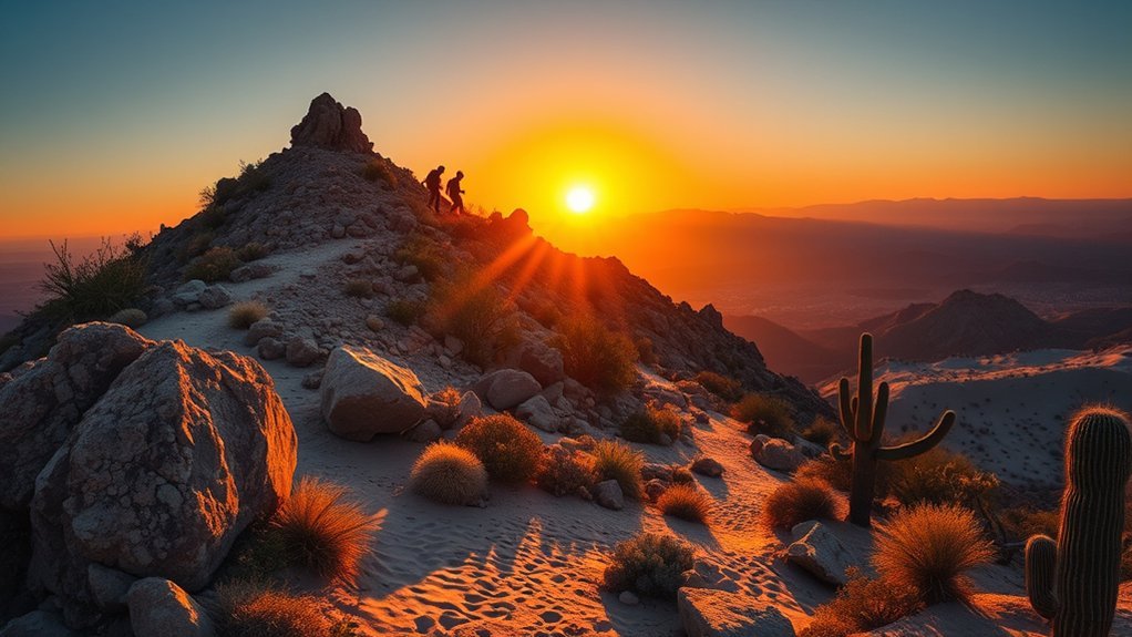
Camelback Mountain: Cholla and Echo Canyon Routes
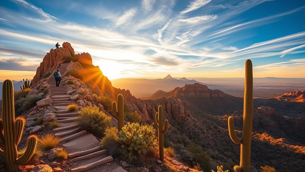
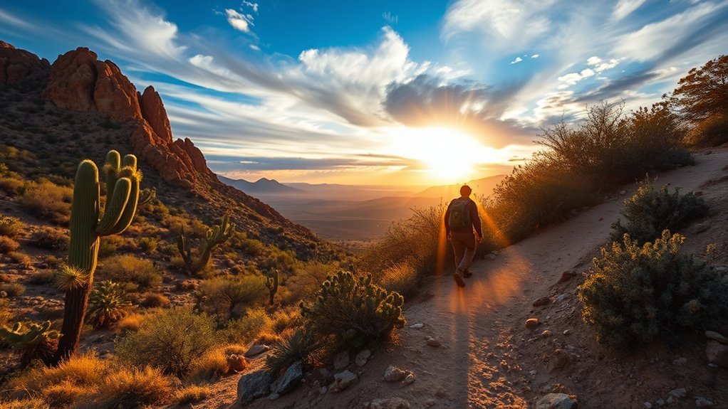
Climb Camelback for a challenging, iconic hike that tests your legs and reward your effort with sweeping valley views—Echo Canyon is the steeper, more direct scramble with exposed rock and handrails, while Cholla offers a slightly gentler but still strenuous ridge route with sustained elevation gain and scenic outlooks. You’ll encounter steep switchbacks, rock steps, and moments where you’ll grasp metal rails to steady yourself. Echo Canyon gains elevation fast; expect short, intense sections that require good balance and sure footing. Cholla feels longer but distributes the climb, giving more opportunities to pause and watch the city shrink below. Both trails summit at a rocky crest offering panoramic views of Tempe, Phoenix, and distant mountains—sunrise and sunset are spectacular but busy. Bring plenty of water, wear sturdy shoes, protect yourself from sun and heat, and start early to avoid crowds. If you’re fit and prepared, Camelback delivers a rewarding, photogenic challenge you won’t forget.
Usery Mountain Regional Park: Wind Cave and Pass Mountain Trails
Explore Usery Mountain Regional Park’s Wind Cave and Pass Mountain trails for two contrasting but equally rewarding desert hikes. You’ll find Wind Cave’s short, steep scramble rewards you with a natural alcove and sweeping valley views—great for quick outings and sunrise photos. Pass Mountain is longer and more exposed, giving you sustained climbs, ridge walking, and panoramic vistas that stretch toward the Superstition Mountains. Both trails showcase classic Sonoran scenery: saguaro silhouettes, brittlebush blooms, and rugged granite.
Explore Wind Cave’s short scramble and Pass Mountain’s long ridge for contrasting Sonoran views—saguaro silhouettes, granite, sunrise-ready panoramas.
- Wind Cave: short (about 1.5 miles round-trip), rocky approach, playful boulder scramble, excellent viewpoint.
- Pass Mountain: moderate-to-strenuous (roughly 5–6 miles), steady elevation gain, expansive ridgeline outlooks.
- Planning tips: bring water, sun protection, sturdy shoes, and arrive early to avoid heat and capture crisp light.
You’ll appreciate the contrast—one trail offers a compact, dramatic finale; the other delivers sustained effort and sweeping desert panoramas.
Piestewa Peak: Summit Trail and Foothill Access
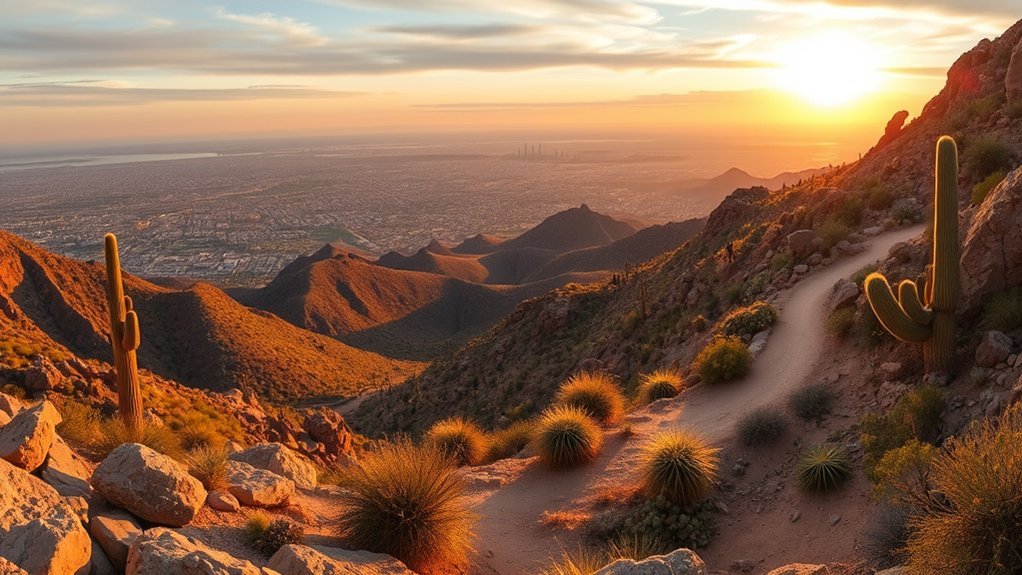
If you liked the steep scramble and skyline views at Usery, Piestewa Peak gives you a more intense but rewarding urban-wilderness climb right in Phoenix’s backyard. You’ll tackle the Summit Trail’s relentless switchbacks and well-built steps, gaining about 1,200 feet in roughly a mile. Expect granite outcrops, creosote and palo verde framing sweeping valley and city panoramas; early morning light makes the views pop. The trail is popular and exposed, so you should bring sun protection, plenty of water, and sturdy shoes. If you want a gentler option, use the Foothill Trail to link quieter segments, birdwatching pockets, and shaded washes without committing to the full ascent. Trailheads have parking and information kiosks; weekends get crowded, so arrive early or hike weekdays. You’ll enjoy a compact, fitness-focused outing with clear route markers, rewarding summit signage, and quick access back to Tempe for post-hike food or a cold drink.
White Tank Mountain Regional Park: Waterfall Trail and Mesquite Loop
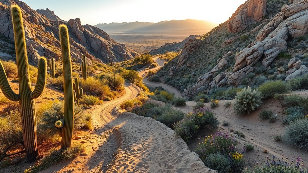
When you hike the Waterfall Trail at White Tank Mountain Regional Park, you’ll see seasonal cascades framed by jagged canyon walls and native desert plants. The adjacent Mesquite Loop offers a gentler, shaded walk through mesquite bosques where birds and desert wildlife are often visible. Together they give you a compact taste of the park’s dramatic geology and quiet riparian pockets.
Waterfall Trail Overview
Although the desert looks stark at first glance, the Waterfall Trail in White Tank Mountain Regional Park surprises you with a short, scenic loop that combines dramatic rock formations, blooming wildflowers in season, and a seasonal waterfall framed by ancient petroglyphs. You’ll find the loop easy to follow, about 1.5 miles round-trip, with sandy stretches and rocky steps that keep the hike engaging without being strenuous. Visit after rains to see the waterfall flow; otherwise, enjoy quiet pools and sculpted granite. Bring water, sun protection, and sturdy shoes. Highlights include:
- A seasonal waterfall that fills after storms, offering photo-worthy cascades and pools
- Petroglyph panels tucked near the trail, revealing human history in the canyon
- Varied terrain that’s great for families and casual hikers
Mesquite Loop Highlights
Take the Mesquite Loop to savor a quieter, more shaded side of White Tank Mountain Regional Park that contrasts nicely with the Waterfall Trail’s rocky drama. You’ll follow a roughly 2.8-mile loop that dips through groves of desert mesquite and palo verde, offering relief from sun and a chorus of birdcalls. The path’s gentle grade makes it friendly for most fitness levels, and well-marked junctions prevent confusion. Keep an eye out for seasonal wildflowers, lizards sunning on rocks, and occasional bighorn sheep tracks. Pack water and sun protection despite the shade pockets. Photo opportunities appear at sweeping valley overlooks and intimate, green-lined wash crossings. The Mesquite Loop rewards a calmer, nature-rich counterpoint to White Tank’s more rugged hikes.
Rio Salado Pathways and Tempe Town Lake Riverside Walk

You’ll enjoy the flat, accessible pathways along the Rio Salado and around Tempe Town Lake, perfect for walking, biking, or rolling at an easy pace. Keep an eye out for birds, turtles, and other wildlife that frequent the riparian corridors, plus open views of the water and city skyline. These gentle routes offer scenic, low-effort options when you want fresh air and calming vistas without a strenuous climb.
Flat, Accessible Pathways
Two easy-to-love routes around Tempe are the Rio Salado Pathways and the Tempe Town Lake Riverside Walk, both offering flat, well-paved surfaces that make getting outdoors simple for walkers, wheelchair users, and families with strollers. You’ll find smooth asphalt and concrete trails, clear signage, shady rest spots, and regular access points for short or long outings. These routes suit quick morning walks, relaxed evening strolls, or steady exercise without tricky terrain.
- Wide lanes that let you pass comfortably and safely
- Benches, water fountains, and curb cuts for easy breaks
- Nearby parking, bike racks, and transit stops for convenience
You’ll appreciate how accessible design keeps the focus on movement, comfort, and community.
Wildlife and Scenic Views
Often you’ll spot local wildlife right from the paved trails, where great blue herons, egrets, and occasional coyotes share the riparian edges of Rio Salado and the calmer waters of Tempe Town Lake. You’ll enjoy a mix of desert and riparian scenery: cottonwoods, mesquite, and native grasses frame reflective water that attracts birds and reptiles. Bring binoculars for detailed views of waders, shorebirds, and the seasonal migrations that brighten mornings and evenings. The Riverside Walk offers sculpted viewpoints and benches for lingering while the Rio Salado Pathways reveal quieter stretches where you can watch turtles bask and dragonflies dart. You’ll find photography spots, peaceful sunset vistas, and easy access for casual nature watching without leaving the city.
Frequently Asked Questions
Are Dogs Allowed on These Trails and Are Leashes Required?
Yes, dogs are allowed on many trails and you’ll need to keep them on a leash in most areas. You’ll find water stations, shaded spots, and scenic detours, so bring waste bags and stay courteous to other hikers.
What Are the Best Months for Avoiding Extreme Heat?
Think of spring and fall like a cool oasis: you’ll want late February through April and October through early November. You’ll enjoy milder temperatures, clearer skies, and safer hiking conditions while avoiding blistering summer heat.
Is Mountain Biking Permitted on Any of These Hikes?
Yes — you can mountain bike on some trails, but rules vary by park and trail. Check signage and park websites, use designated multiuse routes, respect hikers, yield appropriately, and avoid closed or sensitive areas during wet seasons.
Where Can I Refill Water or Find Restrooms Nearby?
You can refill water and use restrooms at park trailheads, visitor centers, and nearby gas stations; they’re oases amid desert rock, with picnic areas and parking lots offering potable taps, vault toilets, and vending machines for quick relief.
Are Any Trails Wheelchair or Stroller Accessible?
Yes — some trails are accessible: you’ll find paved, wide paths like certain sections of Tempe Town Lake, Papago Park’s easy loops, and paved Mesa trails; check trailhead signs for grades, surface, and accessible restroom locations.
Conclusion
You’ve got hikes for every mood and fitness level right near Tempe — from the easy Hole-in-the-Rock loops and waterside strolls at Tempe Town Lake to the steep, rewarding scrambles on Camelback and Piestewa. Don’t worry if you’re short on time or new to desert hiking: many trails are short, well-marked, and family-friendly, with shade, viewpoints, or nearby parking. Lace up, carry water, and get ready to explore Arizona’s stunning urban outdoors.
