About 90% of hikers say Tucson’s saguaros make the desert feel otherworldly, and you’ll see why once you’re on the trail. You’ll find short loops with petroglyphs, riparian walks with seasonal falls, and high‑country pine trails—all within an hour of town. I’ll point out the best routes for views, shade, and family comfort, plus safety tips and when to go, so you can pick the right hike for your day.
Saguaro National Park East: Signal Hill Loop and Desert Trails
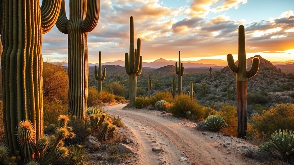
Set out from the Red Hills Visitor Center and you’ll immediately feel why Saguaro National Park East is a must for short desert hikes: the Signal Hill Loop and nearby desert trails pack iconic saguaro forests, ancient petroglyphs, and panoramic valley views into easy, well-marked routes. You’ll follow a 0.4-mile loop around the rock-strewn hill where the Hohokam pecked symbols; interpretive signs explain motifs and context, so you don’t need a guide to appreciate the archaeology. Trails branching from the loop range from flat, shady washes to gentle climbs that reward you with skyline saguaro silhouettes at sunset. Wear sun protection, bring water (at least a liter per hour in summer), and sturdy shoes for rocky sections. Start early to avoid midday heat and to catch birds and cooler light for photos. You’ll find parking and restrooms at the visitor center, making this cluster of short hikes ideal for families, photographers, and anyone wanting a quick, authentic Sonoran Desert experience.
Sabino Canyon: Seven Falls and Lower Sabino Canyon
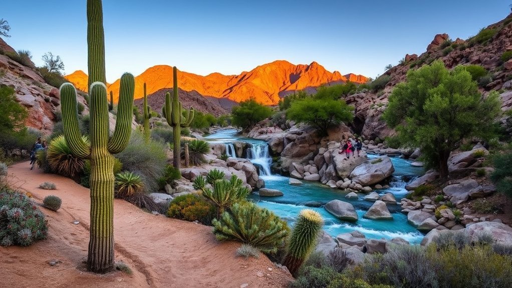
Head for Sabino Canyon when you want a mix of shade, water, and striking desert scenery along the Seven Falls route, but be prepared for rocky stream crossings and seasonal changes in flow. You can access the lower canyon via the tram or trailheads near the visitor center, making it easy to tailor the hike length to your energy and the heat. Bring plenty of water, wear good shoes, and check tram schedules and seasonal access before you go.
Seven Falls Route
You’ll follow a well-marked trail through Sabino Canyon that climbs and dips along rocky washes until it reaches the dramatic Seven Falls—seasonal cascades that are most impressive after winter rains or summer monsoons. You’ll start at the trailhead, check water and sun protection, and plan around shuttle schedules if you use park transit. Expect narrow sections, boulder-scramble spots, and occasional switchbacks; sturdy shoes and a steady pace help. Keep an eye on flash flood warnings during monsoon season and give yourself extra time for photos and rests at shaded spots. At the falls, pick a safe vantage point—wet rocks are slippery—and enjoy the pools and sound of running water before retracing your steps or linking to side trails.
Lower Canyon Access
After enjoying the waterfalls, consider the lower-canyon options that branch off from the Seven Falls route—these give you easier terrain, more shade, and additional creekside viewpoints without the scramble above. From the junction, follow the flatter trail downstream into Lower Sabino Canyon where cottonwoods and mesquite line the water; you’ll find compacted dirt underfoot, fewer steep drops, and frequent benches to rest. The creek crossings are shallow but can be slick—wear sturdy shoes and use trekking poles if you have them. You can turn back at any point or loop onto the service road for a shorter exit. Plan for hot afternoons by aiming for morning shade, bring water, and keep an eye on flash-flood forecasts before you go.
Mount Lemmon: Aspen Loop and Marshall Gulch Trails
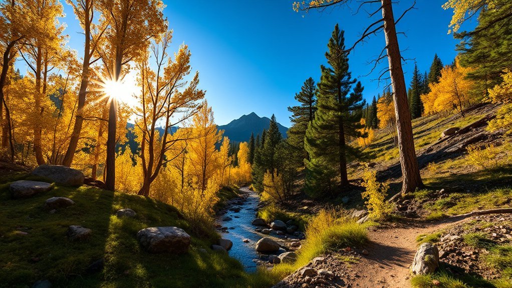
While the road up Mount Lemmon climbs from desert to pine, the Aspen Loop and Marshall Gulch trails offer two of the clearest ways to feel that change underfoot. You’ll hike among trembling aspens, firs, and granite outcrops; both routes are accessible, well-marked, and great for cooling off in summer. Aspen Loop is short and scenic; Marshall Gulch extends to streams, picnic spots, and optional climbs if you want more challenge. Expect variable shade, cooler temps, and slick rock after rain. Pack layers, water, and traction for higher-elevation surfaces. Aim early for parking and to avoid afternoon thunderstorms.
| Trail | Distance | Highlights |
|---|---|---|
| Aspen Loop | 1.5 miles | Aspen stands, views |
| Marshall Gulch | 3–6 miles | Streams, picnic areas |
| Combined options | 4–8 miles | Looping, elevation gain |
These trails suit day hikers who want crisp air, quick elevation, and a clear taste of Mount Lemmon’s alpine feel.
Catalina State Park: Romero Pools and Romero Canyon
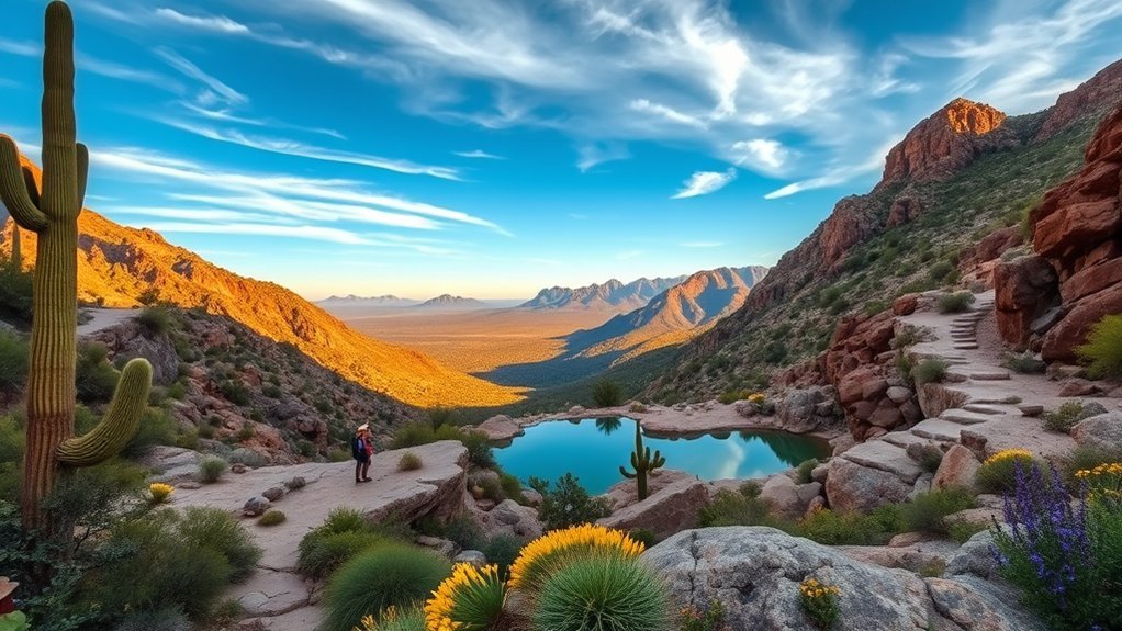
From cool pines on Mount Lemmon you can swing down to the desert foothills and find Catalina State Park’s Romero Pools and Romero Canyon, where saguaros and cottonwoods shape a very different kind of hike. You’ll start on well-marked desert trails that follow seasonal streams, crossing shady riparian areas and open mesquite flats. Romero Pools is an easy, family-friendly loop with short washes and rock pools—great for birding and a quick water-refill photo spot after rain. Romero Canyon climbs more steadily if you want solitude and views of the Catalinas; it’s rocky in places, so wear sturdy shoes and watch your footing. Expect varied temperatures: mornings are cool but afternoons heat up fast. Carry at least two liters of water, sun protection, and a map or downloaded trail route. Dogs are allowed on leash. Park early to snag parking and enjoy cooler light on the canyon walls—then savor the contrast between desert shade and sweeping mountain vistas.
Tumamoc Hill: Short Steep Urban Hike
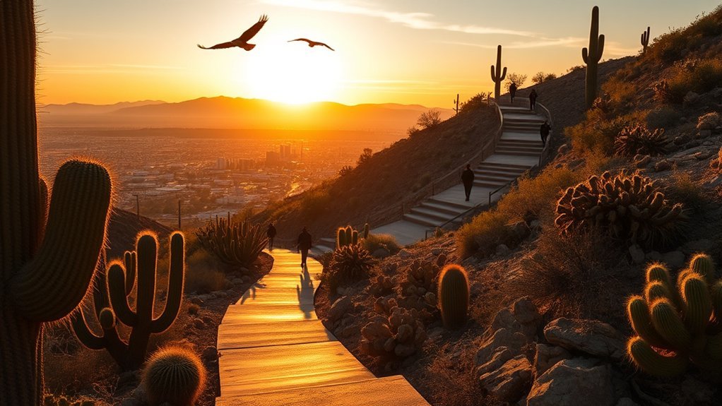
Hop up Tumamoc Hill for a compact, steep workout right in Tucson’s west side — the paved 1.5-mile loop gains about 500 feet and rewards you with sweeping city and desert views. You’ll feel the burn quickly; the grade stays steady, so set a pace you can hold and break the climb into sections. Mornings bring cooler temps and quieter trails, while sunset gives dramatic light but cooler footing is important on the pavement.
- Plan: arrive early, bring water (at least 16–20 oz), sun protection, and good shoes for repeat climbs.
- Technique: use short, quick steps on the steeper stretches, conserve energy on flatter bits, and breathe rhythmically to keep your heart rate steady.
- Etiquette: yield to faster hikers and runners, stay right, and respect the research station rules.
Tumamoc’s proximity makes it ideal for time-crunched training or a brief, satisfying outdoor escape.
King Canyon Trail: Mescal/King Canyon Loop
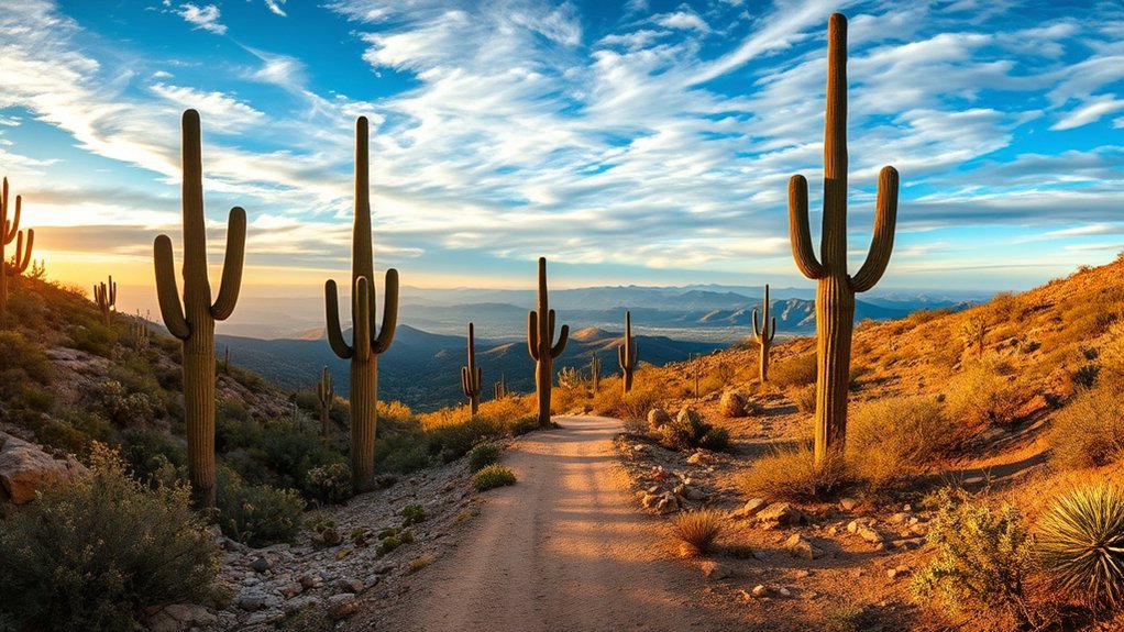
You’ll find the Mescal/King Canyon Loop is a roughly 6–8 mile trail that combines singletrack and old jeep roads for a varied hike. Expect moderate difficulty with steady elevation gain — some rocky sections and short climbs raise the effort level but the route is doable for regular hikers. Keep your eyes on sweeping desert views, oak-studded ridgelines, and seasonal wildflowers that make the climb worth it.
Trail Overview
Although the loop can be busy on weekends, the King Canyon Trail (Mescal/King Canyon Loop) still delivers a compact, varied desert hike that’s great for a half-day outing. You’ll start on well-marked singletrack that winds through creosote flats, then climb into rocky washes and shaded alcoves where saguaros and palo verde create pockets of relief. The route loops back through mesquite bosques, offering contrasting textures and birding opportunities. Expect several short spur viewpoints that reward detours with canyon vistas.
- Trail surfaces: packed dirt, rocky steps, occasional sand—good traction helps.
- Navigation: frequent junctions are signed, but carry a map or GPS.
- Amenities: limited water and no restrooms—plan accordingly.
Difficulty and Elevation
Moving from the route details to what you’ll feel on the trail, King Canyon is rated moderate for most hikers thanks to its mix of short, steeper sections and easy stretches of packed dirt. You’ll gain roughly 700–900 feet of elevation depending on the exact loop you take, with most climbing concentrated in two main pitches—one early and one mid-trail. That means you’ll have intermittent heart-rate spikes rather than a constant grind. Switchbacks reduce strain, but rock steps and loose gravel demand sure footing. Bring poles if your knees are sensitive on descents. Pace yourself on the climbs, hydrate before you feel thirsty, and factor in extra time for slower hikers in your group. The elevation is manageable, but respect the desert sun and your limits.
Scenic Highlights
Often the canyon rewards you with sweeping views of rugged ridgelines, saguaros punctuating the skyline, and sudden pockets of shade where cottonwoods or mesquite cluster near seasonal washes. You’ll follow the Mescal/King Canyon Loop and notice changing light on volcanic rock, small waterfalls after rains, and broad valley panoramas that make short pauses worthwhile. Bring a camera but also binoculars for wildlife and a hat for exposed ridges. Expect varied textures underfoot — sand, gravel, and carved rock — so sturdy shoes help.
- Sunrise vistas: colors intensify on the eastern slopes, good for early starts.
- Riparian spots: cool microclimates with birds and flowering plants.
- High ridges: wind-exposed views, so layer up and stay safe.
Wasson Peak via Sendero Esperanza: Tucson Mountain Summit
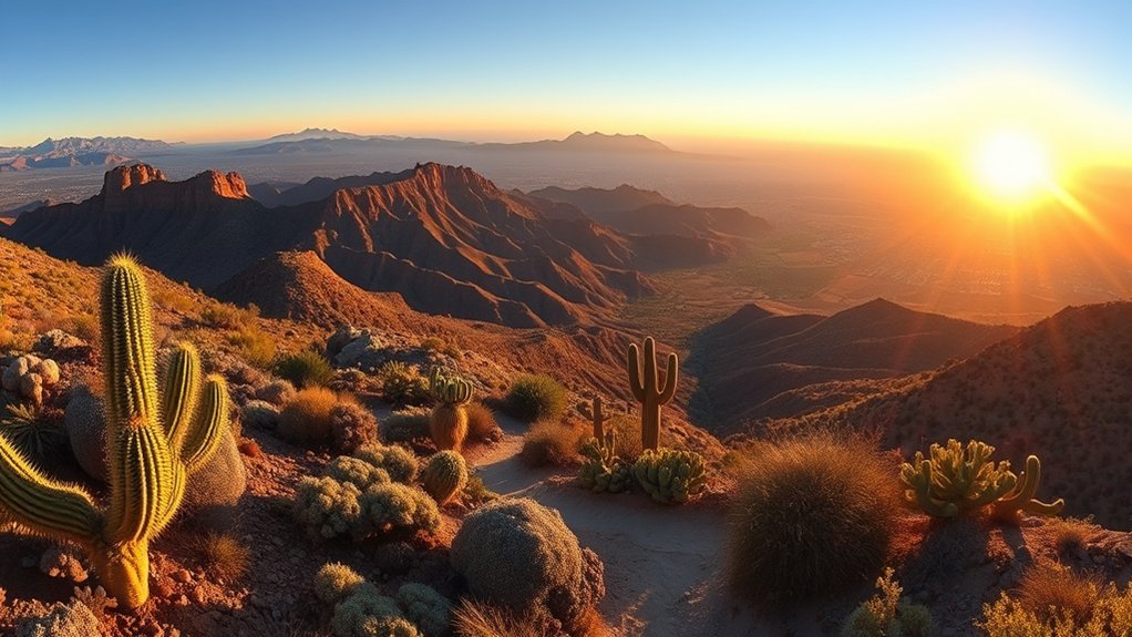
Frequently overlooked by day-hikers who stick to the more crowded shafts of Saguaro National Park, the Wasson Peak ascent via Sendero Esperanza gives you a direct, scenic route to Tucson Mountain’s highest summit. You’ll follow a well-marked trail that gains about 1,400 feet over roughly 4 miles one-way, so plan for a steady climb and allow 3–5 hours round-trip depending on pace. Trails are rocky and exposed; bring layered clothing, sun protection, and at least 2 liters of water in warm months. Early morning or late afternoon hikes reward you with cooler air and long shadows across saguaros. Navigation is straightforward, but you’ll want good footwear for loose scree near the ridge. At the summit, take a break to scan the city and surrounding ranges; it’s a clear, rewarding viewpoint. Leave no trace, watch for wildlife, and turn back if weather or fatigue sets in—safety makes the experience enjoyable and repeatable.
Brown Mountain Trail: Scenic Loop in the Rincon Range
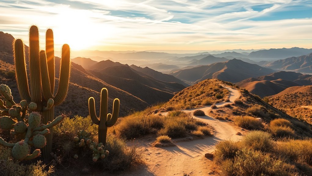
Hit the Brown Mountain Trail for a moderate, scenic loop that showcases the Rincon Range’s high-desert character without the crowds of nearby Saguaro trails. You’ll start on well-marked singletrack that climbs steadily, offering wide views of grasslands, juniper clusters, and distant Tucson. The footing is a mix of packed dirt and occasional loose rock; wear shoes with good traction. Expect about 4–6 miles depending on your chosen loop, with 600–900 feet of elevation gain—enough to get your heart rate up but still leave energy for photos or birdwatching.
Plan for sun exposure: bring layered clothing, SPF, and at least 1 liter of water for shorter loops (more in summer). Trailside, you’ll see seasonal wildflowers and track wildlife like jackrabbits and lizards.
- Navigation: follow cairns and junction signs; carry a map or GPS.
- Timing: hike mornings or late afternoons to avoid peak heat.
- Leave no trace: pack out trash and respect fragile vegetation.
Mica Mountain (Mount Wrightson) via Old Baldy Trail
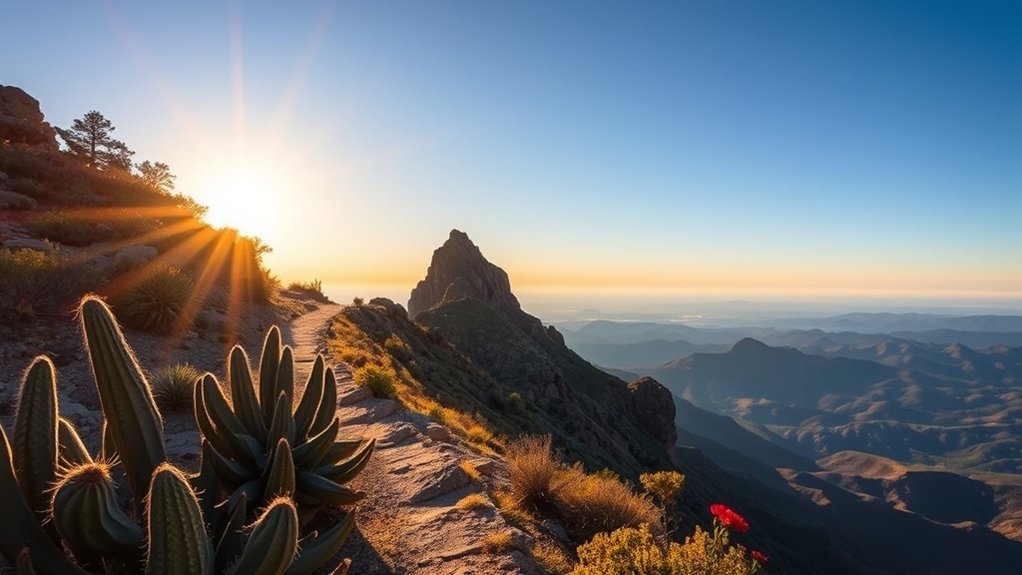
If you’re ready for a stiffer climb after Brown Mountain, Mica Mountain (Mount Wrightson) via the Old Baldy Trail delivers a full-day challenge with big rewards: expansive sky-island views, boulder-strewn ridgelines, and stands of fir and pine at higher elevations. You’ll gain roughly 4,000 feet over about 10–12 miles round-trip depending on your route; plan for 8–10 hours if you move steadily with breaks. Trailhead parking fills early—arrive before dawn in summer or mid-morning in cooler months. Wear sturdy boots, carry 3+ liters of water, snacks, a headlamp, and layers; temperatures drop and wind picks up near the summit. Navigation is straightforward but sections are steep and rocky; trekking poles help on descents. Watch for afternoon storms in monsoon season and give yourself margin to descend. At the summit you get panoramic views of the Santa Ritas and Tucson basin—reward enough for the effort and proper preparation.
Sweetwater Preserve and Honeybee Canyon: Family-Friendly Trails
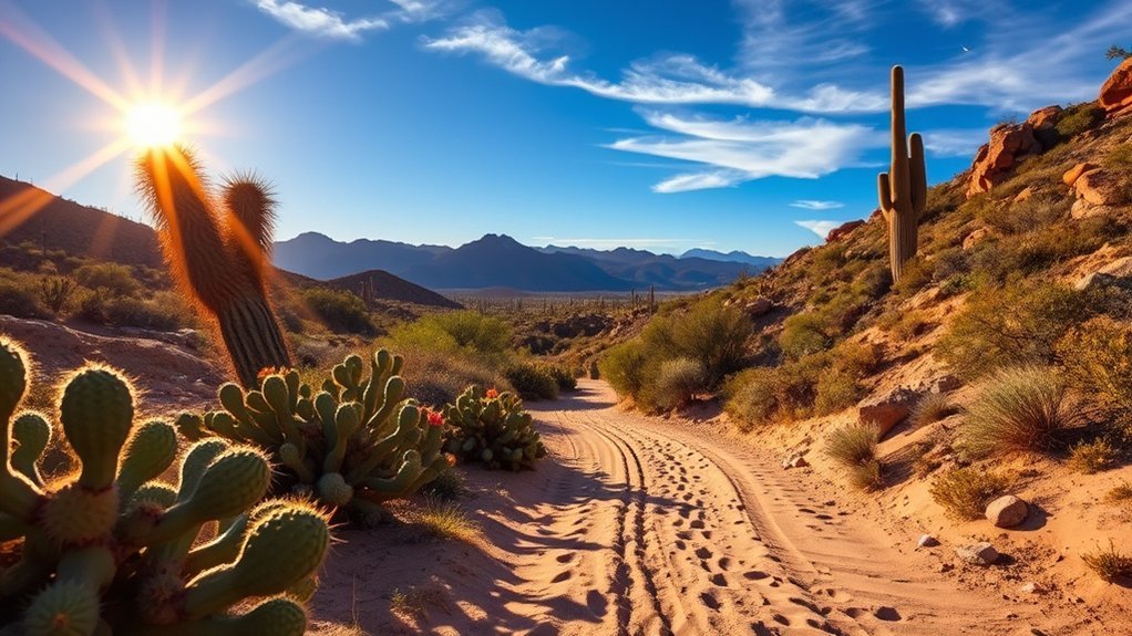
Often overlooked by visitors chasing high peaks, Sweetwater Preserve and Honeybee Canyon offer easy, family-friendly trails that still feel distinctly Sonoran. You’ll find short loops, shaded washes, and interpretive signs that make these spots great for kids, beginners, or anyone wanting a relaxed outing. Trails are well-marked and mostly flat, so you’ll spend more time noticing wildlife and less time worrying about footing.
Plan for desert conditions: bring water, sun protection, and closed-toe shoes. Park at established lots, use the restroom before you go, and expect rattlesnakes in warmer months—teach kids to give wildlife space. In spring, wildflowers brighten the route; after rains, small pools attract birds.
- Trail length: mostly 1–3 miles, suitable for strollers or short legs.
- Terrain: packed dirt, some rocky sections, gentle elevation.
- Amenities: picnic tables, trailheads with maps, limited shade.
These preserves let you enjoy Sonoran scenery without a big commitment, making them perfect for mornings or sunset strolls.
Frequently Asked Questions
When Is Monsoon Season and How Does It Affect These Hikes?
Monsoon runs roughly late June through September; you’ll encounter sudden storms, flash floods, and intense humidity. You should check forecasts, avoid washes, hike early, carry water, a rain jacket, and be prepared to turn back for safety.
Are Dogs Allowed on These Trails and Any Leash Rules?
Yes — you can bring dogs on many trails, but you’ll need to keep them leashed (usually six feet or shorter) in most parks. Carry water, watch for heat, and clean up waste to respect other hikers and wildlife.
What Permits or Entrance Fees Are Required for Any Parks?
About 45% of local trailheads charge fees; you’ll need either a $7–$10 day pass or an annual park pass for many state parks, while national park areas often require an entrance fee or free timed reservations.
Which Trails Have Reliable Water Sources or Potable Water Nearby?
Catalina’s Romero Trail and Sabino Canyon near paved areas have reliable potable stations; Madera Canyon’s Creek provides seasonal water but isn’t always safe, so carry purification. You’ll plan around availability, refill early, and test sources.
What Wildlife or Rattlesnake Precautions Should Hikers Take?
You should watch for rattlesnakes, javelinas, coyotes, and raptors; stay on trails, avoid tall grass or rock crevices, don’t hike alone at dusk, give wildlife space, store food securely, and carry a snakebite kit and whistle.
Conclusion
You’ve seen deserts, pines and surprising waterfalls — and yes, you’ll sweat and probably swear at the switchbacks. Pack water, sun protection and layers like you mean it, because Tucson’s beauty doesn’t come with a hydration station. Start early, check conditions, and leave no trace. Ironically, the best way to find solitude here is to share the trail etiquette everyone already knows but often forgets — then stop, look up, and actually enjoy it.

