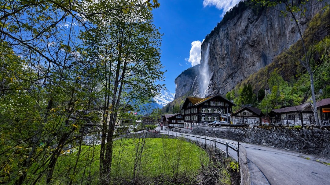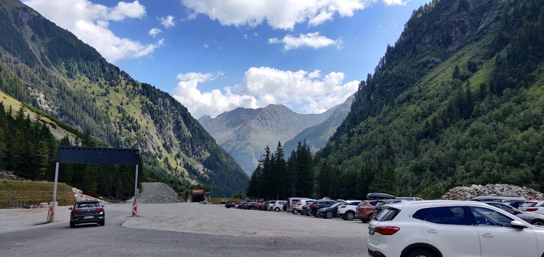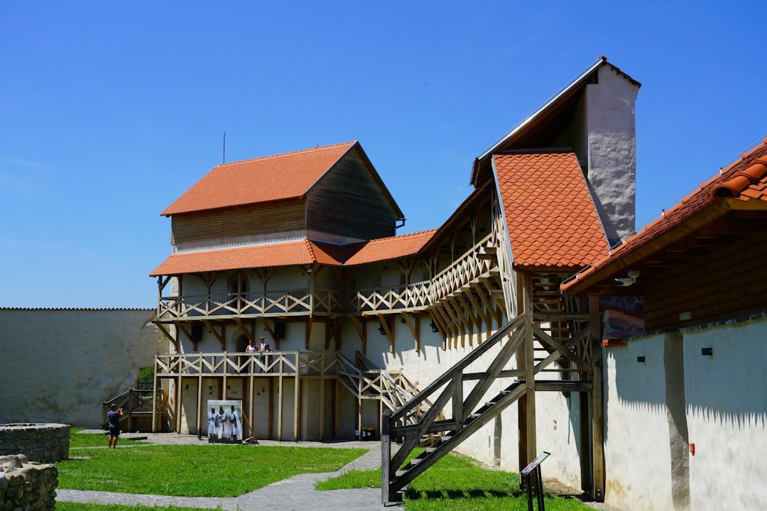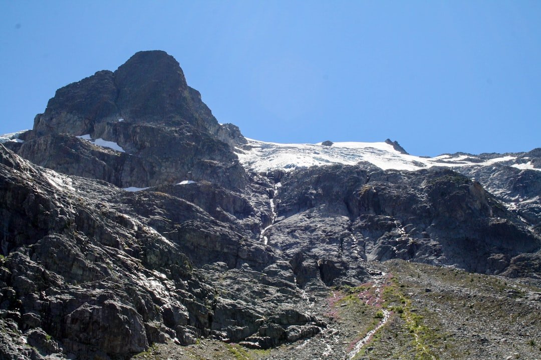
The Eiger Trail puts you directly beneath one of the most famous mountain walls in the Alps. The route runs between Eigergletscher and Alpiglen above Grindelwald, with close views of the Eiger North Face, steep alpine slopes, waterfalls, scree and wide views across the Bernese Oberland. It is one of the signature mountain hikes in the Jungfrau Region, but its mostly downhill profile should not be confused with an easy valley walk.
Quick Answer
The Eiger Trail is a 6 km one-way mountain hike from Eigergletscher to Alpiglen beneath the Eiger North Face. Allow about two hours of walking, plus extra time for photos and stops. The route is mostly downhill but has medium technical and physical demands, so sturdy footwear and suitable weather matter.
Key Takeaways
- The standard Eiger Trail runs about 6 km from Eigergletscher to Alpiglen and takes roughly two hours of walking.
- Expect approximately 100 m of ascent and 820 m of descent, with uneven mountain terrain and some secured sections.
- The fastest current access is the Eiger Express from Grindelwald Terminal to Eigergletscher, a ride of about 15 minutes.
- The separate Eigergletscher-Kleine Scheidegg route is the Jungfrau Eiger Walk, not the main Eiger Trail.
- Check official trail status and mountain weather before leaving. Snow, storms or other conditions can block the route.
At a Glance
| Time Required | About 1 hour 55 minutes of official walking time; allow 2.5-3 hours for a relaxed hike with stops |
| Distance | About 6 km one way |
| Difficulty | Medium technical and physical requirements |
| Elevation Change | Approximately +100 m / -820 m when hiking Eigergletscher to Alpiglen |
| Start / Finish | Eigergletscher station to Alpiglen station |
| Tools Needed | Sturdy hiking footwear, weather layers, water, sun protection and a charged phone; trekking poles are optional |
| 2026 Hiking Window | Jungfrau Railways lists June 20 to October 25, 2026; actual trail access depends on weather and conditions |
| Cost | No separate trail admission; transportation to and from the trailheads requires the appropriate ticket or pass |
Official route data lists the Eiger Trail at about 6 km with roughly 100 m of ascent, 820 m of descent and 1 hour 55 minutes of walking time.
How to Get to the Eiger Trail
The easiest modern approach is through Grindelwald Terminal. From Interlaken Ost, take the Bernese Oberland Railway toward Grindelwald and get off at Grindelwald Terminal. From there, the Eiger Express travels directly to Eigergletscher in about 15 minutes.
Eigergletscher sits at roughly 2,320-2,350 m depending on the reference point used. The station has toilets, a ticket machine, Wi-Fi and food service, making it a convenient place to prepare before starting the hike.
A rail-only alternative is also possible. Travelers can reach Kleine Scheidegg using the Wengernalp Railway from Grindelwald or from the Lauterbrunnen-Wengen side, then continue from Kleine Scheidegg to Eigergletscher on the Jungfrau Railway. Current connections and operating information are available through Jungfrau Railways operating information.
The standard and easier direction is from Eigergletscher downhill to Alpiglen. When you finish at Alpiglen, you can take the Wengernalp Railway down toward Grindelwald or travel uphill toward Kleine Scheidegg, depending on the rest of your itinerary.
Pro Tip: Check the last practical train from Alpiglen before starting. A relaxed photo-heavy hike can take considerably longer than the official walking time.
What to Expect on the Eiger Trail
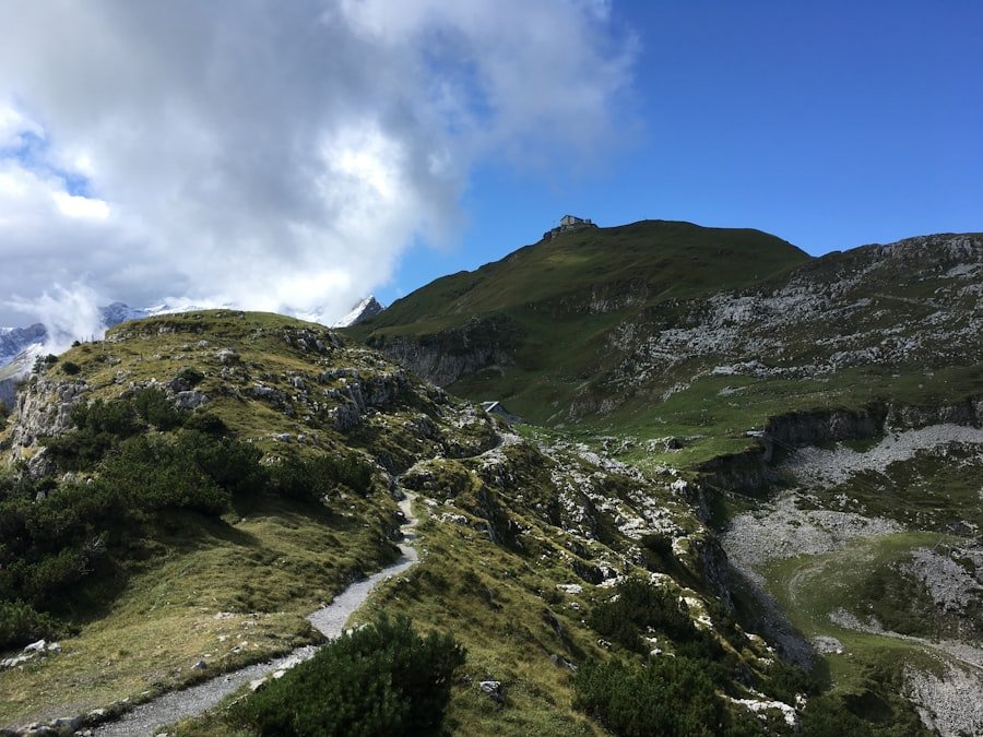
The Eiger Trail follows the base of the Eiger North Face through a dramatic high-mountain landscape. Official descriptions mention steep alpine pastures, scree, streams and waterfalls, while Switzerland Tourism notes that some more difficult sections are secured with ropes.
Most people hike from Eigergletscher to Alpiglen because that direction loses much more elevation than it gains. Official route data lists approximately 100 m of ascent and 820 m of descent. The large amount of downhill walking can still be tiring on knees and legs, especially when the ground is wet.
Views change constantly as the trail crosses the slope. In addition to the Eiger itself, you can look toward Grindelwald, the Wetterhorn, Grosse Scheidegg, Lauberhorn and surrounding peaks. Depending on visibility, climbers may sometimes be visible on the North Face with binoculars.
The mountain also carries a long climbing history. The Eiger North Face became one of the defining challenges of Alpine mountaineering, with its first successful ascent completed in 1938. Grindelwald Tourism provides additional background on the history of the Eiger North Face.
Alpine wildlife may also appear in the surrounding slopes. Chamois, ibex and birds of prey live in the wider region, but sightings are never guaranteed. Watch wildlife from a distance and avoid leaving the marked route to approach animals.
Is the Eiger Trail Easy?
It is better described as a moderate mountain hike than an easy walk. Switzerland Tourism lists both the technical and physical requirements as medium, and Jungfrau Railways groups the route with hikes for experienced walkers.
Strong walkers who are comfortable on uneven mountain paths may find the downhill direction straightforward in dry conditions. People who are uncomfortable with steep slopes, loose stones or sustained descents should choose an easier route.
Note: If you want a gentler introduction to the Eiger area, the separate Jungfrau Eiger Walk between Eigergletscher and Kleine Scheidegg is about 2.5 km and takes roughly one hour. Jungfrau Railways describes it as suitable for inexperienced hikers.
Tips for Hiking the Eiger Trail
| Route | Distance / Time | What to Know |
|---|---|---|
| Eigergletscher → Alpiglen: Eiger Trail | About 6 km / 1 h 55 min official walking time | Medium difficulty; about +100 m / -820 m |
| Alpiglen → Eigergletscher: Eiger Trail in reverse | About 6 km / roughly 2 h 45 min official reverse time | Much more uphill; substantially more strenuous |
| Eigergletscher ↔ Kleine Scheidegg: Jungfrau Eiger Walk | About 2.5 km / around 1 hour | Separate, gentler trail suited to inexperienced hikers |
Wear hiking shoes or boots with reliable grip. The route crosses uneven ground, loose stones and steep slopes, and wet conditions can make footing much less secure. Trekking poles are optional but can reduce strain during the long descent.
Dress in layers. Conditions near Eigergletscher can feel much cooler and windier than Grindelwald, and mountain weather can change quickly. Carry a waterproof outer layer even when the valley forecast looks pleasant.
Bring enough drinking water and food for the hike. Streams and waterfalls occur along the route, but natural water should not be treated as a guaranteed safe drinking supply. Fill your bottles before starting rather than depending on finding potable water on the trail.
Eigergletscher station has facilities including toilets and food service. Alpiglen is also a railway stop, so the route works especially well as a one-way hike rather than requiring you to retrace your steps.
What to Pack
- Hiking shoes or boots with good traction
- Enough water for the full hike
- Snacks or a light meal
- Waterproof and wind-resistant outer layer
- Warm layer, even during summer
- Sun protection, including sunscreen, sunglasses and a hat
- Charged mobile phone
- Offline map or downloaded route information
- Small first-aid kit
- Optional trekking poles and binoculars
Safety Precautions for Hiking the Eiger Trail
Mountain conditions deserve more attention than the relatively short distance suggests. Check both the trail status and weather forecast before leaving. Jungfrau Railways notes that hiking is undertaken at your own responsibility and that published trail conditions are recommendations rather than guarantees.
Warning: Do not continue onto the Eiger Trail simply because transportation to Eigergletscher is operating. Snow, ice, thunderstorms, heavy rain or other local conditions may make the hiking route unsafe or closed. Check current trail information separately.
For weather hazards, consult MeteoSwiss hazard information. Thunderstorms, strong wind, rain and snow can develop quickly in the Alps.
Stay on the marked trail. The surrounding slopes include loose rock and steep terrain, so shortcutting switchbacks or walking directly below unstable rock faces adds unnecessary risk. Move efficiently through places where warning signs advise caution.
Know your limits. A route that is mostly downhill can still be physically demanding, particularly for hikers with knee problems or limited experience on mountain paths. Turn around or use transportation alternatives if conditions deteriorate.
Hiking with another person is helpful, especially if your group has limited mountain experience. Keep enough battery available for navigation and emergency communication.
Can Children Hike the Eiger Trail?
Some experienced hiking families may complete the trail successfully, but it should not be described as universally suitable for children. The deciding factors are the child’s mountain-hiking experience, surefootedness, endurance and comfort with steep or uneven terrain.
For families wanting a shorter and gentler option, the Jungfrau Eiger Walk between Eigergletscher and Kleine Scheidegg is the more appropriate starting point.
Best Times to Visit the Eiger Trail
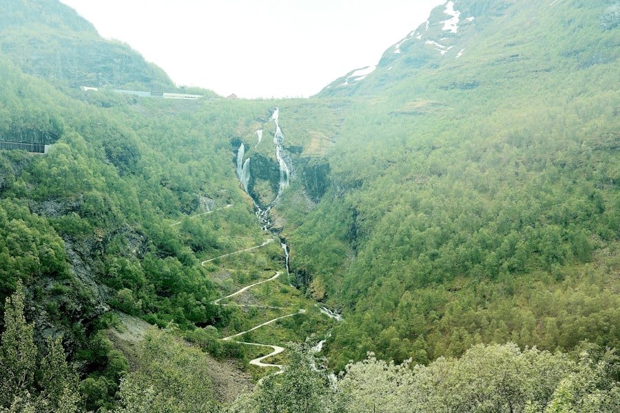
The Eiger Trail is primarily a summer and early-autumn mountain hike. Switzerland Tourism gives July through October as the normal season, while Jungfrau Railways’ 2026 hiking information lists the Eiger Trail from June 20 through October 25, 2026.
Those dates are operating guidance, not a promise of safe conditions every day. Snow can remain early in the season or arrive before the scheduled autumn end, while rain and thunderstorms can temporarily make the route unsuitable.
July and August usually provide the greatest likelihood of a snow-free trail but also bring more visitors. September can offer a useful balance of summer trail conditions and lighter crowds. October can be beautiful on clear days, but colder temperatures and early snow become more likely.
Starting earlier in the day can provide more time to complete the route without rushing and may help you avoid the busiest period. It also leaves a larger margin if you need to adjust plans because of weather or transportation.
Note: Do not assume that carrying snowshoes or crampons automatically makes the normal Eiger Trail suitable in winter conditions. When the summer trail is snow-covered or closed, choose designated winter hiking routes unless you have the appropriate alpine experience and current local guidance.
Nearby Attractions and Accommodations
Grindelwald makes a practical base for the Eiger Trail because it connects directly with Grindelwald Terminal, the Eiger Express and the railway toward Alpiglen and Kleine Scheidegg. Accommodation ranges from hostels and guesthouses to full-service mountain hotels and apartments.
Travelers interested in the area’s mountaineering history can visit the Grindelwald Museum of Local History. Its exhibitions cover agriculture, mountain guiding, mountaineering, railways, winter sports and the history of the Eiger, including the North Face.
Kleine Scheidegg is another worthwhile stop. It provides close views of the Eiger, Mönch and Jungfrau and can be reached by train from Grindelwald, Wengen or Eigergletscher. If you have extra energy, the Jungfrau Eiger Walk provides a short connection between Kleine Scheidegg and Eigergletscher.
Wengen is another accommodation option on the opposite side of Kleine Scheidegg. It can work well for travelers combining the hike with Lauterbrunnen Valley, although Grindelwald is generally more direct for using the Eiger Express.
Conclusion and Final Thoughts
The Eiger Trail earns its reputation through proximity to the Eiger North Face rather than through extreme distance. In roughly 6 km, hikers move from the high station at Eigergletscher through steep alpine terrain, streams, waterfalls and scree before finishing at Alpiglen.
The standard downhill direction is manageable for many fit hikers with mountain-walking experience, but the route should not be dismissed as an easy stroll. Good footwear, appropriate weather, enough water and a check of current trail conditions are essential.
The improved transport network also makes the hike simple to build into a day trip. The Eiger Express provides fast access to Eigergletscher, while the railway at Alpiglen gives hikers an easy way to continue toward Grindelwald or Kleine Scheidegg after finishing.
Before leaving, check official Jungfrau Region operating information and the mountain-weather forecast. That small amount of preparation gives you the best chance of enjoying the North Face views without taking unnecessary risks.
Frequently Asked Questions
What is the Eiger Trail?
The Eiger Trail is a one-way mountain hiking route beneath the Eiger North Face in Switzerland’s Jungfrau Region. The standard route runs between Eigergletscher and Alpiglen above Grindelwald.
How long is the Eiger Trail?
The standard Eigergletscher-to-Alpiglen route is about 6 km. Switzerland Tourism lists an official walking time of 1 hour 55 minutes, although many hikers should allow 2.5-3 hours for photos, breaks and a relaxed pace.
How difficult is the Eiger Trail?
Switzerland Tourism rates both the technical and physical requirements as medium. The downhill direction includes approximately 100 m of ascent and 820 m of descent, along with uneven ground, scree and some secured sections.
How do I get to the Eiger Trail?
The fastest approach is to travel to Grindelwald Terminal and take the Eiger Express to Eigergletscher, which takes about 15 minutes. A rail alternative goes through Kleine Scheidegg and then continues to Eigergletscher on the Jungfrau Railway.
Which direction should I hike the Eiger Trail?
Most hikers choose Eigergletscher to Alpiglen because it is predominantly downhill. Hiking the reverse direction involves roughly 820 m of climbing and takes longer, with Switzerland Tourism listing about 2 hours 45 minutes for the reverse route.
Is there an entrance fee for the Eiger Trail?
There is no separate admission fee for walking the trail. However, most visitors pay for mountain transportation to Eigergletscher and from Alpiglen unless those journeys are covered by a valid travel pass.
What is the best time of year to hike the Eiger Trail?
The normal hiking season is summer through early autumn. Switzerland Tourism lists July-October, while Jungfrau Railways lists the 2026 Eiger Trail period as June 20-October 25. Always check actual trail and weather conditions before going.
Can children hike the Eiger Trail?
Experienced hiking families may find the route suitable, but it is not an easy children’s walk. Children should already be comfortable with uneven mountain paths and long descents. The shorter Jungfrau Eiger Walk is a better option for inexperienced hikers.
Are there accommodations near the Eiger Trail?
Yes. Grindelwald has a wide range of hotels, guesthouses, hostels and apartments and is the most convenient base for the Eiger Express. Wengen and the Kleine Scheidegg area provide additional options for travelers exploring the wider Jungfrau Region.
Sources
- Jungfrau Railways: Eiger Trail — official route description, start and finish, terrain and trail-safety guidance.
- Switzerland Tourism: Eiger Trail Route 353 — distance, duration, ascent, descent, difficulty and general season.
- Jungfrau Railways: Eiger Express — current Grindelwald Terminal to Eigergletscher transportation and journey time.
- Jungfrau Railways: Hiking in the Jungfrau Region — current hiking classification and 2026 Eiger Trail seasonal information.
- MeteoSwiss: Weather Hazards — official Swiss information for thunderstorms, wind, rain, snow and other weather hazards.
- Grindelwald Tourism: Grindelwald Museum of Local History — museum information and local Eiger and mountaineering history.