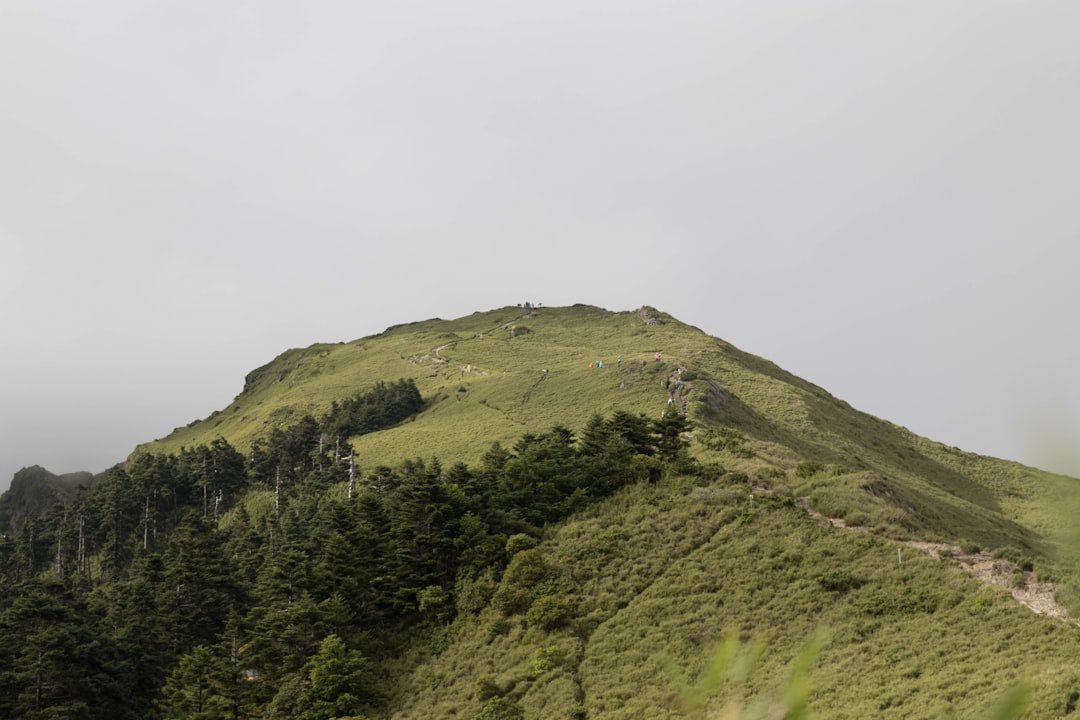
The Stoos Ridge Hike from Klingenstock to Fronalpstock is one of Central Switzerland’s best-known mountain walks, combining an exposed high ridge with wide views over Lake Lucerne, the Muota Valley, and the surrounding Alps. The route is relatively short, but its steep steps, narrow mountain-trail sections, changing weather, and exposed terrain mean it deserves more preparation than an ordinary sightseeing walk.
Quick Answer
The official Klingenstock-to-Fronalpstock ridge route is about 4 km, with roughly 380 m of ascent and 400 m of descent. Allow around 2.5 hours for the ridge itself, longer for photos and breaks. It is a moderate mountain hike that requires sure-footedness, good footwear, reasonable fitness, and comfort with exposed heights.
Key Takeaways
- The standard route runs from Klingenstock to Fronalpstock; Fronalpstock is the finish, not a side trip.
- SwitzerlandMobility lists the signed route at about 4 km with 380 m ascent and 400 m descent.
- Stoos recommends allowing about 2 hours 30 minutes for the ridge section, excluding the journey to and from the mountain.
- This is a red-white-red mountain hiking route. You should be sure-footed, wear non-slip hiking footwear, and be comfortable with exposed terrain.
- The Klingenstock chairlift is weather-dependent, so always check official operating information and the mountain forecast before leaving.
At a Glance
| Route | Klingenstock to Fronalpstock |
| Distance | About 4 km on SwitzerlandMobility Route 827 |
| Time Required | About 1 hr 50 min calculated walking time; allow roughly 2.5 hours or more with stops |
| Elevation Change | Approx. 380 m ascent and 400 m descent |
| Difficulty | Moderate mountain hiking trail; sure-footedness and a head for heights required |
| Tools Needed | Grippy hiking shoes, water, layers, sun protection, phone/map; trekking poles optional |
| Cost | Mountain-railway ticket required unless covered by another valid pass; current prices vary, so check Stoos before travel |
Getting to the Starting Point: Klingenstock
The easiest way to understand the trip is as a chain of mountain transport rather than a single cable-car ride. The village of Stoos is car-free. Most hikers first reach Stoos using either the Schwyz-Stoos funicular or the smaller Morschach-Stoos cable car.
The Schwyz-Stoos funicular is an attraction in its own right. According to Stoosbahnen, it climbs 744 vertical metres and reaches a maximum gradient of 110%, or about 47.7 degrees. The journey itself takes only a few minutes.
From the upper station of the Schwyz-Stoos funicular, allow about 15 minutes to walk through Stoos to the valley station of the Klingenstock chairlift. From the Morschach-Stoos cable-car station, the walk is roughly 25 minutes. The chairlift ride to Klingenstock takes about another 15 minutes. These timings come from the official Stoos ridge-hike instructions.
Arriving by Public Transport
If you are traveling through Schwyz, take the train to Schwyz station and then bus 501 toward Muotathal Hölloch/Stoosbahn, getting off at Schwyz, Stoosbahn. Travelers approaching through Brunnen can take bus 504 toward Morschach and use the Morschach-Stoos cable car. Check the official Stoos public-transport directions before departure.
Arriving by Car
You cannot drive into Stoos village itself. Parking is available at the valley stations of the Schwyz-Stoos funicular and Morschach-Stoos cable car. The official Stoos parking page has current parking locations and charges.
Note: In the 2026 summer schedule, the Klingenstock chairlift is planned to run daily from June 13 through October 11, weather permitting, with additional weekend and public-holiday operation from October 17 through November 1. Lift schedules can change because of weather, maintenance, or seasonal conditions, so check the official operating information on the morning of your hike.
Trail Highlights and Points of Interest
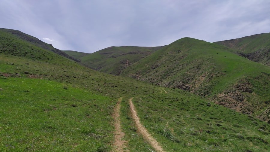
Once you leave Klingenstock, the route follows the high ridge toward Fronalpstock. Lake Lucerne drops away on one side while the Muota Valley lies on the other. Depending on cloud and visibility, the surrounding panorama includes numerous Central Swiss peaks and lakes.
The scenery changes constantly as the path rises and falls over the ridge. Alpine meadows soften some sections, while other stretches feel much more exposed. Flights of steps help hikers negotiate steeper parts of the route, and the changing angle of the ridge creates new viewpoints throughout the walk.
SwitzerlandMobility lists the Klingenstock-Fronalpstock ridge route at about 4 km, with approximately 380 m of climbing and 400 m of descent.
Fronalpstock: The Finish, Not a Detour
Fronalpstock is the normal destination of the ridge hike. The summit sits at about 1,922 metres and provides one of the broadest viewpoints of the day. In clear weather you can look across Lake Lucerne and identify well-known mountains including Rigi and Pilatus.
The summit area also gives you a natural place to stop, eat, use available visitor facilities, and enjoy the panorama before taking the Fronalpstock chairlifts back toward Stoos village. This makes much more sense than treating Fronalpstock as a side trip from the main trail.
Wildlife sightings are possible in the mountains, but they should be treated as a bonus rather than an expected feature of the hike. Give any animals plenty of space, do not feed them, and stay on the signed route.
Stoos Ridge Hike Difficulty and Safety
| Consideration | Route-Specific Guidance |
|---|---|
| Difficulty Level | Moderate mountain hiking trail |
| Experience Needed | Good basic fitness, sure-footedness, and comfort with heights and exposed sections |
| Required Equipment | Non-slip hiking footwear, weather layers, water, sun protection, and reliable navigation |
| Potential Hazards | Steep drops, wet or slippery surfaces, fatigue, reduced visibility, strong wind, and thunderstorms |
| Emergency | Swiss ambulance/rescue emergency number: 144 |
Although the trail is only a few kilometres long, distance alone does not describe its difficulty. SwitzerlandMobility classifies it as a mountain hiking trail, and official Stoos guidance recommends good fitness, sure-footedness, and footwear with non-slip soles. SwitzerlandMobility also advises that hikers need a head for heights.
Mountain hiking trails in Switzerland are commonly marked with red-white-red signs or paint. According to swisstopo’s trail guidance, this category can include narrow, steep, rough, or exposed terrain. It is a different category from a via ferrata, so a climbing harness, helmet, and safety ropes are not standard equipment for this hike.
Warning: Do not commit to the exposed ridge when thunderstorms are developing or forecast. MeteoSwiss advises avoiding mountain ridges, peaks, and other exposed areas during thunderstorms because of lightning danger. Strong wind, heavy rain, fog, or wet steps can also make this route much more hazardous.
Check both the local forecast and MeteoSwiss hazard warnings before leaving. If conditions deteriorate before you reach Klingenstock, choosing another activity is safer than hoping the weather will improve once you are on the ridge.
Who Should Think Twice About This Hike?
The ridge is not a good choice for anyone who becomes uncomfortable near steep drops, has poor balance, lacks suitable footwear, or cannot confidently manage repeated uphill and downhill steps. Very young children require especially careful judgment because short distance does not remove the consequences of exposed terrain.
The full ridge is also not stroller- or wheelchair-accessible. Visitors who want the panorama without the exposed mountain hike have an easier option at Fronalpstock.
What to Bring and Wear
Preparation is straightforward, but your footwear matters. Wear hiking shoes or boots with a reliable tread rather than smooth casual sneakers. Ankle support can be helpful, although grip, fit, and your ability to walk confidently on uneven ground are more important than simply wearing a heavy boot.
Use layers so you can adjust to wind, sun, and temperature changes. Conditions around 1,900 metres can feel very different from conditions in the valley, even on a warm day.
- Water: Carry enough for the ridge rather than relying on finding water along the trail.
- Food: Bring a snack or light lunch if you do not want to depend entirely on summit restaurants.
- Sun protection: Sunglasses, sunscreen, and a hat are useful on the exposed ridge.
- Navigation: Carry the route in SwitzerlandMobility or another reliable map app, ideally available offline.
- Weather layer: A light windproof or waterproof layer is useful even when the valley forecast looks warm.
- Phone: Start with a charged battery and keep enough charge for navigation or an emergency call.
- Trekking poles: Optional, but they can help some hikers on repeated steps and descents.
- Small first-aid kit: Useful for minor blisters, scrapes, or cuts.
There is no need to carry via-ferrata equipment for the standard signed ridge route under normal open summer conditions.
Tips for Hiking the Stoos Ridge Trail
Starting early remains one of the best ways to make the hike more relaxed. It gives you more time for photographs and rest stops while reducing the risk of feeling rushed by afternoon weather or the final lift timetable.
Walk at a steady pace rather than trying to finish the short distance quickly. The trail repeatedly gains and loses height, and the combination of steps and exposure can be more tiring than the kilometre count suggests.
Pro Tip: Check the last planned Fronalpstock chairlift descent before starting the ridge, then build a comfortable buffer into your day. Lift operations can also change because of wind or weather, so do not plan around the last possible minute.
Take breaks where you can step fully away from the walking line rather than stopping in narrow areas. Let faster hikers pass safely, and keep your attention on your footing when taking photographs near exposed sections.
Early morning and later afternoon light can be especially attractive for photographs, but your schedule should always be controlled by weather and lift operation rather than photography alone.
Alternative Routes and Side Trips
If the full ridge feels too exposed or demanding, you do not need to miss the Fronalpstock panorama. A much easier alternative is to ride the chairlifts to Fronalpstock and walk the official Fronalpstock Panorama Trail. Stoos describes this as a short, relatively flat alternative that concentrates on the panoramic experience around the summit.
This is the correct alternative to treating Fronalpstock as a detour from the ridge. On the standard ridge hike, Fronalpstock is already your destination.
Other paths descend through the Stoos area and provide a quieter experience through meadows and mountain terrain. If you want to add another route, choose a signed official trail based on your remaining energy, available daylight, and transport schedule rather than improvising a descent from the ridge.
A trip down to the shoreline of Lake Lucerne should be considered a separate excursion rather than a quick extension of the ridge hike. The vertical difference between the mountain ridge and the lake is substantial, so swimming at the lake is not a simple post-hike detour from Fronalpstock.
Fronalpstock and Beyond
The Stoos Ridge Hike earns its reputation through the combination of a compact route and unusually large views. Starting at Klingenstock saves a long climb from the village while still leaving a meaningful amount of ascent and descent along the ridge. The route then finishes naturally at Fronalpstock, where you can slow down and enjoy the panorama before descending by chairlift.
The most important part of planning is not the distance. It is matching the trail to your comfort with exposure, checking the weather, confirming that the lifts are running, and leaving enough time to walk without rushing.
For hikers with suitable footwear, basic mountain fitness, sure-footedness, and a head for heights, the route provides a rewarding way to experience the high landscape above Lake Lucerne without committing to an all-day alpine trek.
If you’re planning to embark on the Stoos ridge hike along the Klingenstock to Fronalpstock trail, a hydrating snack can be welcome after the walk. If you are curious about one unusual fruit option, see Exploring the Delightful World of Asian Melon.
Frequently Asked Questions
What is the Stoos Ridge Hike?
The Stoos Ridge Hike is the mountain trail linking Klingenstock and Fronalpstock above the car-free village of Stoos in Central Switzerland. It is known for exposed ridge scenery and views over Lake Lucerne, the Muota Valley, surrounding lakes, and Alpine peaks.
Where is the Klingenstock-Fronalpstock trail located?
The trail is in the Stoos area of Canton Schwyz, Switzerland. Most visitors reach the car-free village of Stoos using the Schwyz-Stoos funicular or Morschach-Stoos cable car and then continue to Klingenstock by chairlift.
How long is the Klingenstock to Fronalpstock trail?
SwitzerlandMobility lists the official route at about 4 km, with roughly 380 m of ascent and 400 m of descent. Its calculated walking time is around 1 hour 50 minutes, while Stoos recommends allowing about 2 hours 30 minutes for the ridge hike. Add more time for photographs, rests, food, and transport.
How difficult is the Stoos Ridge Hike?
It is rated as a moderate mountain hiking trail. Good basic fitness is helpful, but the more important requirements are sure-footedness, suitable footwear, and a head for heights because sections are narrow or exposed.
Which direction should I hike the Stoos Ridge Trail?
The official Stoos recommendation is to ride the chairlift to Klingenstock, hike from Klingenstock to Fronalpstock, and then descend from Fronalpstock using the chairlifts. This is also the direction used in the standard route description.
What are the main highlights of the Stoos Ridge Hike?
Highlights include the high-ridge perspective over Lake Lucerne and the Muota Valley, repeated panoramic viewpoints, alpine meadows, the dramatic flights of mountain steps, and the final panorama from Fronalpstock.
Are there facilities along the trail?
Do not plan on frequent facilities along the exposed ridge itself. The most useful visitor facilities and food options are around the lift and summit areas, especially at Fronalpstock. Carry your own water and at least a small snack.
What should hikers bring on the Stoos Ridge Hike?
Bring grippy hiking footwear, water, snacks, sunscreen, sunglasses, weather layers, a charged phone, and a reliable map or navigation app. Trekking poles and a small first-aid kit are optional but useful for many hikers.
Can children do the Klingenstock-Fronalpstock hike?
Capable children with mountain-hiking experience may be able to complete it under close adult supervision, but the exposed terrain makes individual judgment essential. It is not a stroller route, and children who are uncomfortable with heights should use an easier alternative such as the Fronalpstock Panorama Trail.
What should I do if bad weather is forecast?
Choose another activity or postpone the ridge hike. Thunderstorms are particularly dangerous on exposed ridges. Check MeteoSwiss and Stoos operating information before traveling, and do not assume that a lift will run when strong wind or poor weather affects the mountain.
Sources
- Stoos-Muotatal: Stoos Ridge Hike — official route direction, access sequence, recommended hiking time, and equipment guidance.
- SwitzerlandMobility Route 827: Gratweg Stoos — official route distance, elevation change, time, classification, and terrain guidance.
- Stoosbahnen: Klingenstock Chairlift Timetable — current seasonal chairlift operating periods and weather dependency.
- Federal Office of Topography swisstopo: Mountain Trail Categories — red-white-red trail classification and equipment context.
- MeteoSwiss Hazard Warnings — official Swiss weather and natural-hazard information.
- Stoos-Muotatal: Arrival by Public Transport — bus and rail connections to the Stoos valley stations.