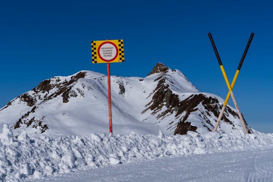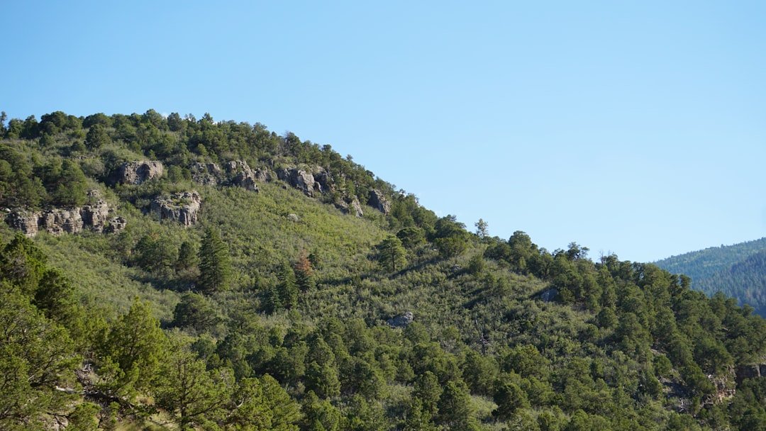
The Stoos Ridge Hike is a scenic point-to-point mountain walk between Klingenstock and Fronalpstock in central Switzerland. The route combines sweeping views over Lake Lucerne with narrow ridge sections, long stairways, rocky paths, and several short climbs. Careful planning matters because access and return usually depend on seasonal chairlifts.
Quick Answer
The Stoos Ridge Hike is a 4 km point-to-point mountain trail from Klingenstock to Fronalpstock. Official walking estimates range from about 1 hour 50 minutes to 2 hours 30 minutes before long breaks. Allow 4 to 6 hours for the full outing, including lifts, village walks, photos, and a summit stop.
Key Takeaways
- The official route is about 4 km, with approximately 380 m of ascent and 400 m of descent.
- The ridge is a medium mountain hiking trail, not a flat sightseeing path.
- You need surefootedness, suitable hiking shoes, reasonable fitness, and a head for heights.
- Most visitors use the Klingenstock chairlift to start and the Fronalpstock chairlifts to return to Stoos.
- Check the trail, weather, and lift status before leaving because snow, fog, storms, wind, or maintenance can affect access.
- Hikers uncomfortable with exposure can take the easier Fronalpstock Panorama Trail instead.
At a Glance
| Route | Klingenstock to Fronalpstock |
| Distance | About 4 km |
| Elevation Change | Approximately 380 m ascent and 400 m descent |
| Time Required | About 1 hour 50 minutes to 2 hours 30 minutes of walking; allow 2.5 to 3.5 hours with breaks |
| Difficulty | Medium mountain hiking trail with stairs, steep ground, narrow sections, and some exposure |
| Full Excursion | Allow about 4 to 6 hours for transport, lifts, walking, and breaks |
| Cost | The trail itself is free; mountain railway and chairlift tickets cost extra |
What’s in This Article
- Overview of Klingenstock and Fronalpstock
- Stoos Ridge Route Facts
- How to Reach the Stoos Ridge Hike
- Difficulty of the Stoos Ridge Hike
- Time Required for the Hike
- Stoos Ridge Route Step by Step
- Tips for Hiking Stoos Ridge
- Safety Precautions
- What to Bring on the Hike
- Best Time to Hike Stoos Ridge
- Facilities and an Easier Alternative
- Frequently Asked Questions
- Final Thoughts on the Stoos Ridge Hike
- Sources
Overview of Klingenstock and Fronalpstock
The Stoos Ridge Hike connects two well-known viewpoints above the car-free mountain village of Stoos. Klingenstock reaches about 1,935 metres and is the usual starting point for the classic direction of the walk. Fronalpstock reaches about 1,922 metres and overlooks Lake Lucerne and the surrounding mountains.
Starting at Klingenstock lets you follow the marked trail west toward Fronalpstock. Lake Lucerne and Lake Uri appear below the ridge, while the Muota Valley and peaks of central Switzerland fill the opposite side of the view.
The route feels more substantial than its 4 km distance suggests. You repeatedly descend and climb along the ridge, cross long flights of steps, and pass sections where the path has been cut into steep mountain terrain.
Stoos Ridge Route Facts
SwitzerlandMobility Route 827 lists the ridge walk as approximately 4 km, with about 380 m of ascent and 400 m of descent. It classifies the route as a medium mountain hiking trail.
- Start: Klingenstock summit station
- Finish: Fronalpstock summit
- Route type: Point to point
- Official walking estimates: About 1 hour 50 minutes to 2 hours 30 minutes
- Typical time with stops: About 2.5 to 3.5 hours
- Main landmarks: Rot Turm, Nollen, Huserstock area, Furggeli, and Fronalpstock
- Trail category: Mountain hiking trail
The ridge walk may take less than three hours, but the complete lift-assisted excursion commonly needs four to six hours.
How to Reach the Stoos Ridge Hike
You first need to reach the mountain village of Stoos. The official route guide gives two main options.
Option 1: Schwyz-Stoos Funicular
The Schwyz-Stoos funicular takes about seven minutes to reach Stoos. From its upper station, walk approximately 15 minutes through the village to the Klingenstock chairlift valley station.
Option 2: Morschach-Stoos Cable Car
The Morschach-Stoos cable car takes about 17 minutes. From its upper station, allow approximately 25 minutes to walk to the Klingenstock chairlift.
Continue to Klingenstock
The Klingenstock chairlift ride takes about 15 minutes when operating. It places you near the start of the ridge route at approximately 1,935 metres.
Return from Fronalpstock
At the end of the hike, the Fronalpstock chairlifts normally take about 20 minutes to descend to Stoos. From the lower chairlift station, it is about a 10-minute walk to the Schwyz-Stoos funicular or about a 5-minute walk to the Morschach-Stoos cable car.
Note: The official Stoos Ridge Hike guide recommends a summit experience day ticket that covers the mountain railways normally used for this outing. Check the latest ticket terms before purchasing.
Review the official Stoos railway information, live operating status, and timetables on the morning of your trip. The Klingenstock chairlift and ridge route may not operate or open every day of the hiking season.
Difficulty of the Stoos Ridge Hike
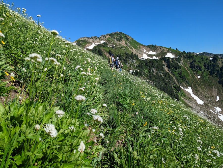
The Stoos Ridge Hike has a medium difficulty rating, but that does not mean it suits every casual walker. You need steady footing, reasonable fitness, suitable shoes, and enough confidence to walk near steep slopes.
The route includes rocky ground, repeated stairways, short steep climbs, narrow sections, and places secured with chains. Some sections feel exposed even though the path is constructed and marked.
The Swiss Alpine Club’s mountain-hiking guidance explains that mountain hiking trails may be steep, narrow, and exposed. Hikers should be surefooted, free from severe vertigo, physically fit, and familiar with mountain hazards.
Is the Stoos Ridge Hike suitable for beginners?
A fit beginner who already has experience on marked mountain trails may be comfortable in dry, calm conditions. However, the route is not a good first mountain hike for someone who dislikes heights, struggles on steep stairs, or has never walked on narrow alpine paths.
Is it suitable for children?
There is no single age that makes the ridge suitable. Consider each child’s mountain-hiking experience, attention span, balance, fitness, and reaction to exposure. Children should remain under close adult supervision and should not run or pass other hikers carelessly on narrow sections.
Warning: Do not attempt the ridge in thunderstorms, dense fog, strong wind, snow, ice, or very wet conditions. Exposure and slippery steps can turn a moderate route into a serious hazard.
Time Required for the Hike
| Journey Stage | Approximate Time |
|---|---|
| Schwyz-Stoos funicular | 7 minutes |
| Morschach-Stoos cable car | 17 minutes |
| Walk to Klingenstock chairlift | 15 minutes from the funicular or 25 minutes from the cable car |
| Klingenstock chairlift | About 15 minutes |
| Klingenstock to Fronalpstock ridge | Official estimates range from 1 hour 50 minutes to 2 hours 30 minutes |
| Photos, food, and rest stops | 30 to 90 minutes |
| Fronalpstock chairlift descent | About 20 minutes |
| Walk back to Stoos transport | 5 to 10 minutes |
A fast and experienced hiker may complete the marked ridge close to the shorter official estimate. Most visitors should allow 2.5 to 3.5 hours for the ridge after adding photos, short rests, and careful movement on busy or exposed sections.
Allow about 4 to 6 hours for the full mountain excursion after you reach the lower Stoos transport station. Road or public-transport travel to Schwyz or Morschach is additional.
Stoos Ridge Route Step by Step
1. Start at Klingenstock
Leave the chairlift station and follow the marked mountain hiking route toward Fronalpstock. Pause before starting to check visibility, wind, cloud growth, and the time of the final lift you plan to use.
2. Follow the ridge toward Rot Turm and Nollen
The trail heads west along the ridge through open alpine terrain. This section introduces the repeated steps, narrow paths, and views toward Lake Uri and the mountains around Schwyz.
3. Continue around the Huserstock area
After Nollen, the marked route continues toward Huserstock. A short optional summit variation may be possible, but follow signs and avoid adding unplanned detours when visibility or time is limited.
4. Descend toward Furggeli
The route loses height before the final climb. Descents can feel tiring because of the steps and uneven surface, so keep enough energy for the remaining ascent.
5. Make the final climb to Fronalpstock
From the Furggeli area, climb toward the Fronalpstock summit. The viewing area, restaurant, and chairlift station mark the end of the main ridge route.
Pro Tip: Hike from Klingenstock to Fronalpstock. This is the classic direction recommended by Stoos Tourism and finishes at a summit with a restaurant, viewing areas, and chairlift access.
Tips for Hiking Stoos Ridge
- Start early: Morning conditions are often calmer, and an early start gives you more time if lifts are busy.
- Check every transport stage: Confirm the Stoos connection, Klingenstock chairlift, Fronalpstock chairlifts, and final descent time.
- Buy the correct ticket: Compare the official summit experience ticket with any regional or Swiss travel passes you already hold.
- Use the classic direction: Starting at Klingenstock normally creates the simplest lift-assisted plan.
- Keep space between hikers: Do not stop in narrow sections or directly above someone on steep steps.
- Control your pace: Save energy for the climbs after the route’s descending sections.
- Carry your own food and water: Do not depend on finding supplies along the exposed ridge.
- Download a map: Use an offline route in case mobile reception or battery power becomes unreliable.
Safety Precautions
Check the official trail status, chairlift status, and weather forecast before committing to the route. A clear view from the valley does not guarantee safe conditions at nearly 2,000 metres.
Review the MeteoSwiss hazard map as well as the local forecast. Thunderstorms can bring lightning, heavy rain, hail, and sudden strong gusts. Exposed ridges and summits are places to avoid when lightning threatens.
Stay on the marked trail. Shortcuts across steep grass or loose rock can create a serious slipping or falling risk. Use chains and handholds where provided, but do not assume every exposed section has a barrier.
Tell someone where you are going and when you expect to return. Keep your phone charged and protect it from rain and cold. In a rescue emergency in Switzerland, call 144.
Turn around when conditions deteriorate early in the route. Do not continue merely because you have already paid for transport or travelled a long distance.
Note: A route description reflects normal conditions. Snow, ice, damaged trail sections, fog, storms, maintenance, or stopped lifts can make the normal plan unsuitable.
What to Bring on the Hike
Carry a small, comfortable backpack that leaves your hands free. Pack for changing mountain conditions rather than the temperature in the valley.
- Sturdy hiking shoes with a grippy sole
- Enough water for the complete ridge walk
- Energy-rich snacks or a light packed meal
- Sunscreen
- Sunglasses
- Sun hat or cap
- Light rain jacket with wind protection
- Warm insulating layer
- Basic first-aid supplies
- Personal medicine
- Offline trail map or printed map
- Fully charged phone
- Small power bank and charging cable
- Ticket or travel pass
- Emergency contact details
- Optional trekking poles for long stairways and descents
The official swisstopo hiking maps and app include marked hiking routes and can support route planning and offline navigation.
Best Time to Hike Stoos Ridge
The route is best attempted when it is officially open, free from snow and ice, and served by the required chairlifts. This most often means the summer and early-autumn hiking period, but there is no fixed date that guarantees suitable conditions.
Choose a dry day with good visibility and no thunderstorm or strong-wind warning. Starting in the morning gives you more time before possible afternoon weather changes and reduces the risk of rushing for the final lift.
Do not assume that warm conditions in Lucerne, Schwyz, or Brunnen mean the ridge is dry. Check current reports and webcams before travelling.
Facilities and an Easier Alternative
Fronalpstock has a summit restaurant, viewing areas, and nearby chairlift access during operating periods. Opening hours can change, so carry enough water and food to complete the ridge without depending on the restaurant.
Toilets and services are generally easiest to find around the village and main lift or summit facilities. The exposed ridge itself should be treated as a self-supported section of the outing.
Easier alternative: Fronalpstock Panorama Trail
People who dislike exposed paths, have limited hiking experience, or are travelling with a stroller can consider the official Fronalpstock Panorama Trail. It is a shorter, relatively flat summit walk that begins after riding the chairlifts to Fronalpstock and still provides wide mountain and lake views.
Frequently Asked Questions
How difficult is the Stoos Ridge Hike?
It is a medium mountain hiking trail with steep steps, uneven ground, narrow passages, and some exposed sections. You should be surefooted, reasonably fit, properly equipped, and comfortable with heights.
How long does the Klingenstock to Fronalpstock hike take?
Official estimates range from about 1 hour 50 minutes to 2 hours 30 minutes of walking. Allow 2.5 to 3.5 hours with photos and rests, or roughly 4 to 6 hours for the complete lift-assisted excursion.
How long and steep is the Stoos Ridge route?
The route is approximately 4 km long. It includes about 380 m of ascent and 400 m of descent, so the walk still involves repeated climbing despite starting and finishing at similar summit elevations.
Which direction should you hike the Stoos Ridge?
The classic direction is from Klingenstock to Fronalpstock. This direction matches the official Stoos itinerary and ends near the Fronalpstock restaurant, viewing area, and descending chairlifts.
Can beginners hike from Klingenstock to Fronalpstock?
A fit beginner with previous mountain-trail experience may manage the route in dry, calm conditions. It is not a suitable first mountain hike for someone who is uncomfortable with exposure, steep stairs, or narrow paths.
Is the Stoos Ridge Hike suitable for children?
Suitability depends more on the child’s mountain experience, balance, fitness, and comfort with heights than on age alone. Children need close supervision. Families who are unsure should choose the easier Fronalpstock Panorama Trail.
Do you need a ticket for the Stoos Ridge Hike?
Walking the trail does not require an admission ticket, but most hikers pay for the funicular or cable car and the chairlifts at both ends. Check the current summit experience ticket and any discounts available through your travel pass.
What happens if the Klingenstock chairlift is closed?
Do not assume the standard ridge itinerary is still practical. Recheck the official route and lift information. You may need to choose another hike or ride to Fronalpstock for the easier summit panorama walk.
Are there restaurants or facilities on the route?
Services are available around Stoos and at Fronalpstock during operating periods. Carry your own food and water because you should not depend on finding supplies on the exposed ridge itself.
What should you bring for the Stoos Ridge Hike?
Bring grippy hiking shoes, water, food, sun protection, a warm layer, rain and wind protection, a charged phone, an offline map, basic first-aid supplies, and any personal medicine.
Final Thoughts on the Stoos Ridge Hike
The Stoos Ridge Hike packs a large alpine experience into a relatively short route. You get views over Lake Lucerne, repeated ridge climbs, dramatic stairways, and two major summits without needing a full-day backcountry expedition.
Its short distance should not lead you to underestimate it. Choose a dry and stable day, confirm every lift you need, wear proper hiking shoes, and turn back when conditions or confidence decline. With thoughtful planning, the journey from Klingenstock to Fronalpstock can be one of the most memorable mountain walks in central Switzerland.
Sources
- Stoos Tourism: Stoos Ridge Hike — official access sequence, lift travel times, recommended direction, and ticket guidance.
- SwitzerlandMobility Route 827 — official route distance, ascent, descent, walking time, and difficulty.
- Switzerland Tourism: Gratweg Stoos — route landmarks, chains, exposure, surefootedness, and chairlift planning.
- Swiss Alpine Club: Hiking Safety — mountain hiking trail requirements, markings, equipment, and terrain hazards.
- MeteoSwiss Hazard Map — current warnings for thunderstorms, wind, rain, snow, and other natural hazards.
- Federal Office of Topography swisstopo: Hiking Maps — official marked-trail maps and digital navigation resources.