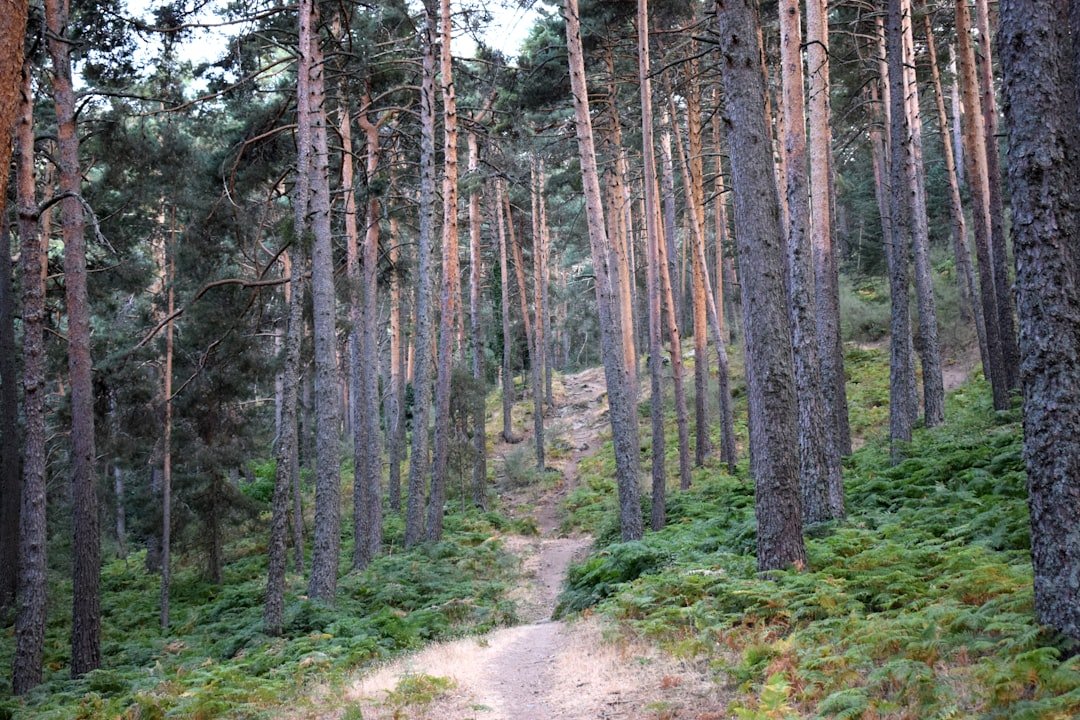
The Bachalpsee hike is one of the most accessible scenic walks above Grindelwald, taking you from the First mountain station to Bachalpsee at about 2,265 meters (7,431 feet) above sea level. The standard route follows a broad, marked trail through open alpine terrain to the lake and returns the same way. Although the opening climb can feel tiring, the official route is classified as easy rather than moderate.
Quick Answer
The standard First to Bachalpsee hike is an easy 5.8 km (3.6 mi) round trip with about 202 m (663 ft) of ascent. Official route information puts walking time at roughly 1 hour 40 minutes to 1 hour 50 minutes. Allow extra time for lake views, photos, breaks, and changing mountain conditions.
Key Takeaways
- The standard First–Bachalpsee–First route is officially rated easy and is suitable for many recreational hikers and families.
- The round trip is about 5.8 km (3.6 mi), with roughly 202 m (663 ft) of cumulative ascent.
- Plan about 1 hour 40 minutes to 1 hour 50 minutes of walking, plus extra time at the lake.
- Bachalpsee sits at approximately 2,265 m (7,431 ft), so weather can be cooler and more changeable than in Grindelwald.
- Carry water, snacks, sun protection and a weather-resistant layer even on a short summer outing.
- Check the First cable-car operation, trail conditions and weather before leaving Grindelwald.
At a Glance
| Time Required | About 1 hr 40 min to 1 hr 50 min walking round trip; allow 2.5–3 hours with relaxed stops and photos |
| Difficulty | Easy on the standard First–Bachalpsee–First route |
| Distance | About 5.8 km (3.6 mi) round trip |
| Ascent | About 202 m (663 ft) cumulative ascent |
| Tools Needed | Sturdy shoes, water, weather layer, sun protection, phone/offline map and snacks |
| Cost | The hiking trail itself is free; transportation on the First cable car costs extra and fares vary by ticket and pass |
Trail Difficulty and Duration
The standard Bachalpsee hike begins and ends at the First cable-car mountain station. According to the route published by Grindelwald Tourism, it covers approximately 5.8 km (3.6 miles), with about 202 m (663 ft) of ascent and the same amount of descent. The official route is classified as easy.
The first portion leaving First includes a noticeable uphill section. After that opening climb, the route becomes gentler and follows a broad trail through alpine meadows with smaller ups and downs before reaching Bachalpsee.
Official estimates vary slightly. Grindelwald Tourism lists about 1 hour 40 minutes for the complete out-and-back walk, while Jungfrau Railways lists approximately 1 hour 50 minutes. These figures represent walking time rather than a full sightseeing visit.
If you want to sit beside the lake, eat a snack, wait for calmer water or stop frequently for photographs, setting aside 2.5 to 3 hours is more comfortable. Families, inexperienced hikers and anyone walking slowly at altitude may need longer.
Note: “Easy” is a trail classification, not a guarantee that every visitor will find the walk effortless. Altitude, heat, snow, wet ground, fitness and footwear can all change how demanding it feels.
Getting to the Bachalpsee Trailhead
The easiest starting point is the First mountain station above Grindelwald. From Grindelwald, take the First cable car through Bort and Schreckfeld to First. From the mountain station, follow the marked route toward Bachalpsee.
If you are arriving by public transportation, travel to Grindelwald and continue to the Firstbahn valley station on foot or by local transport. If you arrive by car, use public parking in Grindelwald rather than expecting parking at the mountain trailhead.
Mountain-transport schedules can change with the season, maintenance and operating conditions. Before starting, check the current Jungfrau Railways operating information and the official timetable. Give yourself enough time to return to First before the final descent you intend to use.
Pro Tip: Check the First webcam, trail status and mountain forecast before buying transportation and heading uphill. Conditions at roughly 2,200 meters can differ considerably from conditions in Grindelwald village.
Scenic Views and Points of Interest
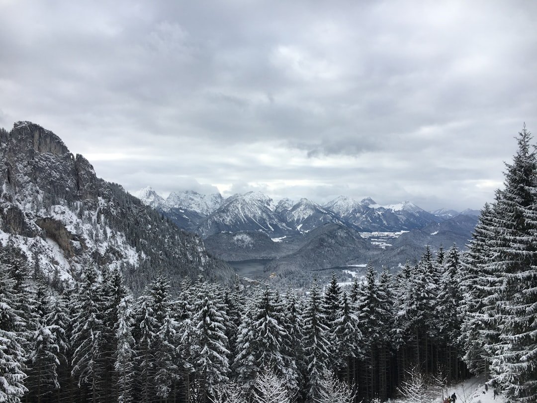
The route crosses open alpine terrain with broad views of the Bernese Alps. The wider First area is known for its panorama toward major peaks of the Jungfrau region, while Bachalpsee itself is especially famous for mountain reflections when the water is calm.
According to Switzerland Tourism, the classic lake scene can include reflections of the Wetterhorn, Schreckhorn and Finsteraarhorn, along with the Grindelwald glacier landscape. The Schreckhorn is particularly prominent from the lake. The wider mountain panorama in this region also includes views associated with the Eiger, Mönch and Jungfrau.
Bachalpsee lies at approximately 2,265 m (7,431 ft). When wind drops, especially during quieter periods of the day, the surface can become reflective. Do not count on a perfect mirror effect, however. Wind, cloud and changing light can transform the scene within minutes.
Along the trail, pause at open viewpoints rather than concentrating only on the destination. The meadows can contain alpine flowers during the warmer season, and you may occasionally see alpine wildlife. Observe animals from a distance and avoid feeding or approaching them.
Bachalpsee sits about 2,265 m above sea level, and its classic calm-water view is associated with the high peaks surrounding the Grindelwald landscape.
Best Time and Trail Conditions
The classic Bachalpsee walk is most straightforward when the summer hiking route is open and largely free of snow. Switzerland Tourism describes the walk as a popular option from early summer into autumn after seasonal snow has melted.
Calendar dates alone are not enough to judge conditions. Snow can linger into the warmer season at altitude, while rain can leave sections wet or slippery. Later in the season, fresh snow and ice can also change a normally easy trail into a more serious outing.
Before hiking, check current trail and transport information as well as the MeteoSwiss weather and hazard information. If conditions do not match your footwear, experience or the ability of the least experienced person in your group, choose another day.
What to Pack for the Hike
| Item | Quantity | Importance |
|---|---|---|
| Sturdy hiking shoes or boots | 1 pair | High |
| Water bottle | Enough for your group and conditions | High |
| Day backpack | 1 | High |
| Offline map or navigation app | 1 | High |
| Small first-aid kit | 1 | Medium |
| Snacks | As needed | Medium |
| Sunscreen | 1 | Medium |
| Hat and sunglasses | 1 each | Medium |
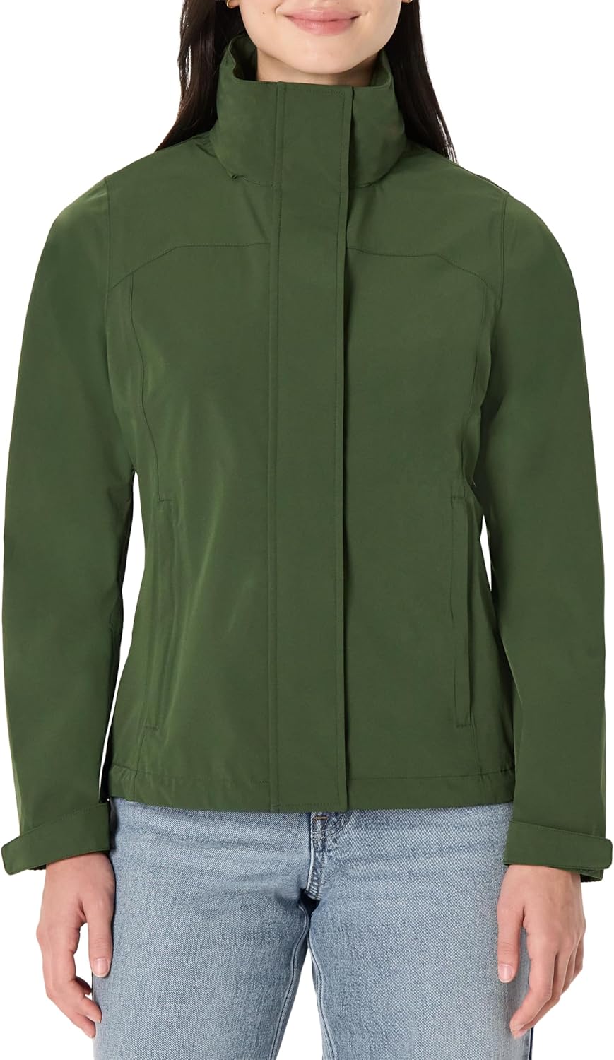
| Rain jacket or weather-resistant shell | 1 | High |
| Headlamp or flashlight | 1 | Optional for a normal daytime visit; useful as emergency backup |
Sturdy, comfortable footwear is a better choice than smooth-soled casual shoes because parts of the route can be uneven, wet or loose. Clothing should be selected in layers so you can adjust when wind, cloud or temperature changes.
Carry enough drinking water for the weather, your pace and everyone in your group. A fixed two-liter minimum is unnecessary for every visitor on this relatively short walk, but you should carry more in hot weather or if you plan to extend the hike beyond Bachalpsee.
Energy bars, nuts, fruit, sandwiches or another easy snack can provide fuel during a longer visit. Sun protection also matters at altitude, even when temperatures feel cool.
A lightweight waterproof or wind-resistant jacket belongs in your pack when conditions are uncertain. Your phone is useful for maps, weather updates and emergencies, but an offline map or downloaded route is safer than assuming you will always have reliable data service.
A camera or smartphone is also worth carrying if photography is part of your visit, particularly when Bachalpsee becomes calm enough to reflect the surrounding peaks.
Tips for a Successful Hike
Starting earlier in the day can provide a quieter trail and more time before the final cable-car descent. Calm conditions can also improve your chances of seeing clear mountain reflections on Bachalpsee, although wind and cloud are never guaranteed.
Do not rush the opening climb. Walk at a pace that allows everyone in your group to talk comfortably, take short breaks when needed and drink regularly. After the initial ascent, the terrain generally becomes easier.
Check the weather before leaving Grindelwald and again before setting out from First. If visibility deteriorates, a thunderstorm develops or the trail becomes unsuitable for your equipment, turning around is the safer decision.
Keep to marked routes, give other hikers room to pass and respect grazing livestock and wildlife. If you stop for food, take all packaging and waste back with you.
Pro Tip: Treat 1 hour 40 minutes to 1 hour 50 minutes as walking time, not the amount of time you should schedule for the whole experience. Adding at least 30–60 minutes for the lake makes the outing much less rushed.
Safety Precautions
Even though the standard Bachalpsee route is rated easy, it is still a mountain hike at more than 2,000 meters above sea level. Check conditions, wear suitable shoes and choose a pace that works for the least experienced person in your group.
Tell someone your general plan if you are hiking alone, and carry a charged phone. Downloading the route before leaving is useful because mobile coverage should never be treated as guaranteed.
Weather deserves particular attention. Temperatures can fall quickly when cloud, wind or rain arrives. Carry an outer layer even when Grindelwald feels warm.
Warning: Do not remain beside the lake or continue across exposed alpine terrain during a thunderstorm. MeteoSwiss advises avoiding bodies of water and exposed areas when thunderstorms threaten. Check official warnings before hiking and turn back early if conditions deteriorate.
If anyone becomes exhausted, injured or unwell, do not push onward simply to reach the lake. Minor problems can become harder to manage as weather changes or the day gets later.
For emergencies in Switzerland, the general European emergency number is 112. Swiss Air-Rescue Rega can be contacted at 1414 when immediate air-rescue assistance is required in Switzerland. In an emergency, be ready to provide your location, the number of people involved and the nature of the problem.
Nearby Amenities and Accommodations
Grindelwald has a wide choice of hotels, guesthouses, restaurants, shops and outdoor services, making it a convenient base for the Bachalpsee hike and other excursions in the Jungfrau region.
At First, hikers can find mountain-station services and food options before or after the walk. The verified Bachalpsee route lists Berggasthaus First as a rest stop. You should not, however, plan the short walk on the assumption that multiple staffed mountain huts or shops will be available between First and Bachalpsee.
Carry the water and food you expect to need at the lake. If you continue onto a longer route toward locations such as Faulhorn, Waldspitz or other mountain areas, refreshment options and opening periods may differ, so check each establishment before depending on it.
Back in Grindelwald, restaurants serve a range of Swiss and international food. Traditional choices may include dishes such as rösti, while hotels range from simple lodging to properties with spa and dining facilities.
Other Hiking Options in the Area
The easy First–Bachalpsee–First walk is only one option in the Jungfrau region. Longer routes should be treated as separate hikes rather than minor additions to the standard Bachalpsee outing.
Eiger Trail: This route follows the base of the famous Eiger North Face from the Eigergletscher area toward Alpiglen. Jungfrau Railways lists roughly two hours for the Eiger Trail, making it a different experience from the Bachalpsee walk.
Schynige Platte–Faulhorn–First: Experienced hikers can tackle a much longer high-altitude journey between Schynige Platte and First. The official Jungfrau hiking information describes a route of around six hours that passes Faulhorn and Bachalpsee. Schynige Platte is reached from Wilderswil by the mountain railway when it is operating.
This is substantially more demanding than simply walking from First to Bachalpsee and back. Do not use the easy Bachalpsee difficulty rating when judging whether you are prepared for the full high-altitude route.
Aletsch Glacier: The Aletsch Glacier is another major Swiss alpine hiking destination, but it should be planned as a separate excursion rather than as a nearby extension of the Bachalpsee trail. If your wider Switzerland itinerary includes the Aletsch area, allow dedicated travel and hiking time for it.
Whichever route you choose, match the distance, elevation, weather and trail category to your experience. The short Bachalpsee out-and-back is a good choice when you want an accessible alpine walk with significant scenery without committing to an all-day mountain hike.
After returning from the trail, a balanced snack or meal can help replace energy used during the walk. Cottage cheese is one simple protein-rich option if it suits your diet, while fruit, bread, nuts, yogurt or a regular meal can work just as well.
Frequently Asked Questions
What is the difficulty level of the Bachalpsee hike?
The standard First–Bachalpsee–First route is officially classified as easy. It begins with a noticeable uphill section, so beginners may still find the opening climb tiring, especially at altitude.
How long does it take to complete the Bachalpsee hike?
Official estimates put the complete round-trip walking time at about 1 hour 40 minutes to 1 hour 50 minutes. Allow roughly 2.5 to 3 hours overall if you want relaxed breaks and time beside the lake.
How far is the First to Bachalpsee hike?
The standard out-and-back route is approximately 5.8 km (3.6 miles) in total, with about 202 m (663 ft) of cumulative ascent and the same amount of descent.
What factors can affect the duration of the Bachalpsee hike?
Fitness, altitude, weather, wet or snowy trail conditions, children, photography and the amount of time you spend at the lake can all extend the outing beyond the official walking estimate.
Are there facilities or amenities along the Bachalpsee hike?
Services and food are available around First, and the official route lists Berggasthaus First as a rest stop. Do not rely on finding a staffed hut, shop or food service at Bachalpsee itself. Carry the water and snacks you expect to need.
How do I get to the start of the Bachalpsee hike?
Travel to Grindelwald and take the First cable car to its mountain station. The marked Bachalpsee trail starts from the First area and returns to the same station on the standard route.
Is the Bachalpsee hike suitable for children?
The standard route is listed as family-friendly and easy, so many children who are comfortable walking several kilometers can manage it. Adults should still consider each child’s stamina, footwear, weather tolerance and ability to handle the initial uphill section.
What is the best time to hike to Bachalpsee?
The classic hike is easiest during the warmer hiking season when the route is open and free of significant snow or ice. Conditions vary from year to year, so check current trail status, the First cable-car operation and the mountain weather instead of relying only on the calendar.
What should I do if bad weather develops during the hike?
Turn back if visibility, wind, rain, snow or thunderstorms make the route unsuitable. During thunderstorms, avoid exposed terrain and the lakeshore. Check MeteoSwiss before setting out and do not continue simply because Bachalpsee is close.
Sources
- Jungfrau Railways: Lake Bachalpsee — official Bachalpsee location and hiking-time information.
- Grindelwald Tourism: First–Bachalpsee–First Route — verified route distance, duration, difficulty, ascent, route profile and equipment guidance.
- Switzerland Tourism: Lake Bachalp — lake altitude, seasonal hiking context and mountain-reflection information.
- Jungfrau Railways Operating Information — current First cable-car and regional transport status.
- MeteoSwiss Weather Hazards — official Swiss weather warnings and mountain-hazard information.
- Swiss Air-Rescue Rega — official emergency information and the 1414 rescue number within Switzerland.