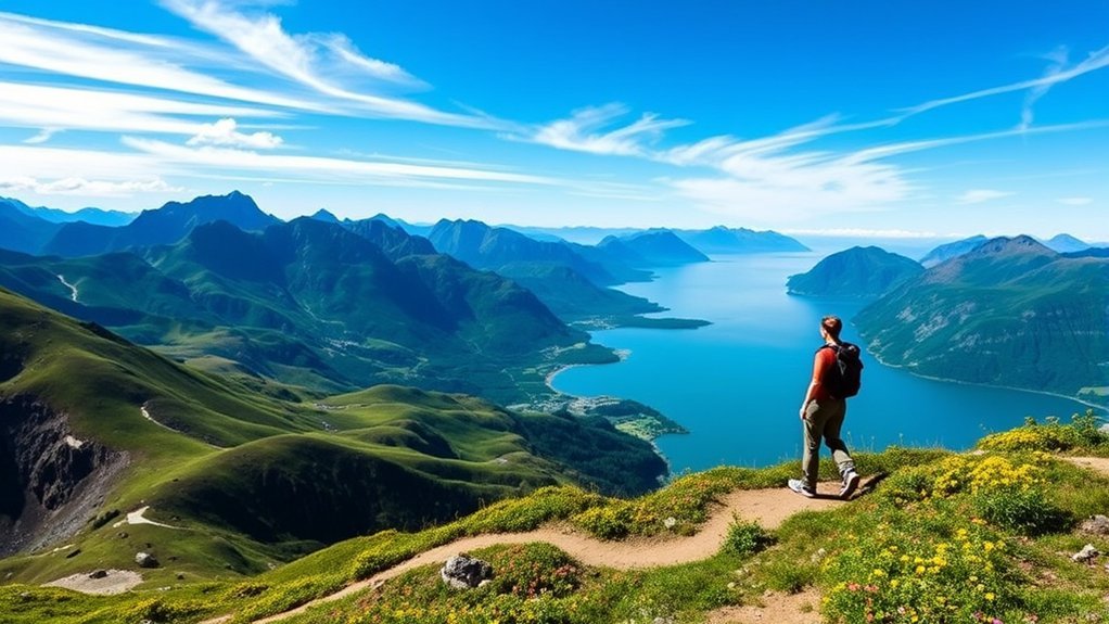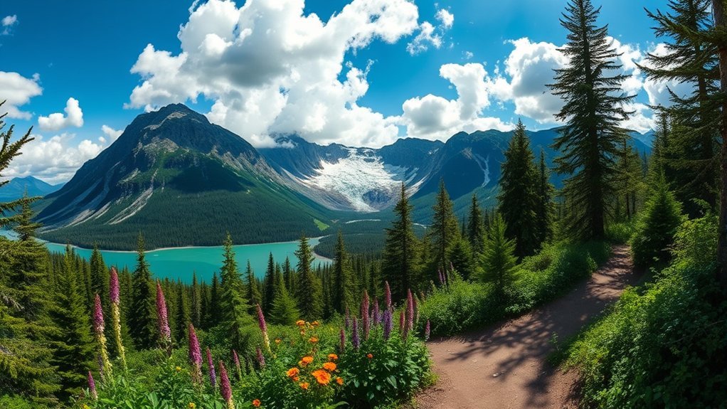
Juneau, Alaska, provides access to some of the most diverse coastal rainforest and alpine trail networks in North America. Situated within the 16.7-million-acre Tongass National Forest, the city’s trail system spans rugged glacially carved valleys, historical gold rush corridors, and panoramic mountain ridges along the Gastineau Channel. Whether you are stepping off a cruise ship looking for a quick day trek or planning a backcountry exploration, knowing the exact trailheads, elevation profiles, and terrain conditions is essential for navigating Southeast Alaska’s wilderness safely.
Quick Answer
The best hikes in Juneau range from family-friendly coastal walks to rugged alpine climbs: Mount Roberts Trail (4.5 miles round-trip, strenuous) for panoramic channel views, Perseverance Trail (6.0 miles round-trip, moderate) for mining history and waterfalls, West Glacier Trail (8.0 miles round-trip, challenging) for close-up glacier views, Eagle Beach (2.5 miles, easy) for tidal wildlife viewing, and Herbert Glacier Trail (9.6 miles round-trip, easy-to-moderate) for a flat, bike-friendly trek to an icefield terminus.
Key Takeaways
- Best for Views: Mount Roberts Trail offers high alpine vistas of Gastineau Channel and the Chilkat Range.
- Best for Glacier Access: West Glacier Trail and Herbert Glacier Trail provide distinct routes to view the Juneau Icefield.
- Family & Beginner Friendly: Eagle Beach State Recreation Area and the Gold Creek flume connectors on Perseverance Trail offer minimal grade.
- Wildlife Safety: Carry EPA-approved bear spray in an accessible holster; black bears and coastal brown bears frequent all mainland Juneau trails.
Warning: Juneau is bear country. Both black bears and brown bears inhabit these corridors. Always make noise while hiking, travel in groups when possible, never leave food unattended, and carry bear spray ready to deploy.
Mount Roberts Trail
The Mount Roberts Trail is one of Juneau’s signature alpine routes, starting just minutes from the downtown cruise ship docks at the top of Basin Road. The lower half of the route winds through dense Sitka spruce and western hemlock forest via switchbacks before breaking out into the alpine zone at the Goldbelt Tram Mountain House (1,760 feet elevation).
From the Tramway facility, hikers can continue upward along an exposed alpine ridge past the Father Brown Cross to the true summit of Mount Roberts (3,819 feet) or along the ridge toward Gastineau Peak. The alpine section provides unobstructed vistas of Douglas Island, Admiralty Island, and the Gastineau Channel.
At a Glance: Mount Roberts Trail
| Distance (Round-Trip) | 5.0 miles (to Tram) / 7.6 miles (to true summit) |
| Elevation Gain | 1,760 ft (to Tram) / 3,819 ft (to summit) |
| Difficulty | Moderate to Strenuous |
| Trailhead Location | Basin Road trailhead (Downtown Juneau) |
Pro Tip: If you hike up from Basin Road to the Mountain House, you can ride the Goldbelt Tram down to downtown by spending a minimum amount on food, drinks, or gifts at the summit complex (or purchasing a one-way download ticket).
Perseverance Trail
The Perseverance National Recreation Trail was Alaska’s first officially designated trail corridor under the National Recreation Trail system. Following the steep canyon of Gold Creek Basin, this route offers access to Juneau’s extensive hard-rock gold mining heritage alongside dramatic mountain scenery.
The trail was constructed in the early 1900s to support the Alaska Gastineau Mining Company. As you hike along the wide gravel roadbed and stabilized paths, you will pass the ruins of the historic stamp mill, iron relics, and the rushing cascade of Ebner Falls. The path connects to side trails such as the Granite Creek Trail (which leads up to high alpine cirques) and the Mount Juneau Trail.
At a Glance: Perseverance Trail
| Distance (Round-Trip) | 6.0 miles (out-and-back) |
| Elevation Gain | Approx. 800 ft |
| Difficulty | Easy to Moderate |
| Trailhead Location | End of Basin Road (parking lot and turnaround) |
Mendenhall Glacier: West Glacier Trail
While the Mendenhall Glacier Recreation Area offers several short pathways—including the accessible 2-mile round-trip Nugget Falls Trail and the 3.5-mile East Glacier Loop—the West Glacier Trail is the premier route for hikers seeking panoramic views of the glacier’s ice sheet and rugged terminus.
Managed by the USDA Forest Service – Tongass National Forest, the maintained portion of West Glacier Trail extends approximately 4 miles out along the western flank of Mendenhall Lake, climbing through glacial bedrock, bedrock stairs, and dense alder groves. The formal trail ends at an elevated rock outcrop overlooking the retreating icefield, where hikers can view crevasse fields and séracs safely from above.
At a Glance: West Glacier Trail
| Distance (Round-Trip) | 8.0 miles (out-and-back to high overlook) |
| Elevation Gain | Approx. 1,300 ft |
| Difficulty | Challenging / Technical |
| Trailhead Location | West Glacier Trailhead parking (off Montana Creek Rd) |
Warning: The unmaintained route beyond the official Forest Service overlook involves steep scree, unmarked rock cairns, and unstable moraines. Glacial ice caves are prone to sudden collapse; never enter under glacial ice overhangs.
Eagle Beach Trail
Located roughly 27 miles north of downtown Juneau along the Glacier Highway, the Eagle Beach Trail is managed within the Eagle Beach State Recreation Area. This trail network weaves through coastal temperate rainforest, along the banks of the Eagle River, and directly onto broad sand-and-pebble tidal beaches along Lynn Canal.
Because of its open coastal position, Eagle Beach offers unobstructed panoramic views across the Lynn Canal toward the glaciated Chilkat Mountains. It is renowned for marine wildlife encounters and birdwatching: bald eagles nest heavily in the surrounding cottonwoods, while harbor seals, sea lions, and humpback whales are frequently visible from the shoreline.
At a Glance: Eagle Beach Trail
| Distance (Round-Trip) | 2.5 miles (beach and forest loops) |
| Elevation Gain | Minimal (< 50 ft) |
| Difficulty | Easy |
| Trailhead Location | Mile 27.5 Glacier Highway (Eagle Beach SRA) |
Note: Check local Southeast Alaska tide tables before hiking far out onto the mudflats. High tides can rise rapidly and submerge return beach access routes.
Herbert Glacier Trail
The Herbert Glacier Trail is a wide, forested trail that leads hikers and mountain bikers deep into the Herbert River valley to the terminal moraine of the Herbert Glacier. Located at Mile 28 on the Glacier Highway, the trail features a consistently gentle grade, making it one of Juneau’s most accessible long-distance day hikes.
The trail traverses old-growth spruce-hemlock forest and crosses several bridges over tributaries of the Herbert River. At approximately 4.8 miles from the trailhead, the forest gives way to an open outwash plain and a glacial lake with views of the active icefall. The smooth double-track dirt and gravel surface makes this route exceptionally popular for fat-tire and mountain biking.
At a Glance: Herbert Glacier Trail
| Distance (Round-Trip) | 9.6 to 10.0 miles (out-and-back) |
| Elevation Gain | Approx. 350 ft |
| Difficulty | Easy to Moderate (due to distance) |
| Trailhead Location | Mile 28 Glacier Highway (gravel parking area) |
Frequently Asked Questions
What is the best time of year to hike in Juneau?
The primary hiking season runs from June through September. By late June, most mid-elevation trails and alpine passes are free of winter snowpack. July and August bring the warmest temperatures (averaging 60°F to 65°F), though late August and September see higher rainfall averages typical of the Southeast Alaska maritime rainforest.
Are there guided hiking tours available in Juneau?
Yes. Several commercial outfitters operate guided day hikes in Juneau, specifically for glacier trekking on the Mendenhall Glacier, historic mining walks on Perseverance Trail, and guided Tongass rainforest natural history tours. Most depart directly from downtown cruise terminals.
What wildlife might I encounter on these trails?
Hikers routinely share habitat with Sitka black-tailed deer, bald eagles, porcupines, and marmots. Mainland Juneau has robust populations of black bears and brown (grizzly) bears. Along coastal trails like Eagle Beach, marine life including harbor seals, Steller sea lions, and humpback whales can be observed from shore.
Do I need a permit to hike these trails?
No general wilderness permits are required for day hiking on Tongass National Forest, Alaska State Park, or City and Borough of Juneau (CBJ) trails. However, commercial groups require USFS special-use permits, and parking or day-use fees apply if utilizing designated amenities at the Mendenhall Glacier Visitor Center commercial lot.
Where can I find trail maps for Juneau hikes?
Official topographic and recreation maps are available at the USDA Forest Service Juneau Ranger District Office, the Mendenhall Glacier Visitor Center, and the downtown Juneau Visitor Information Center. Digital geospatial maps can be downloaded via the Forest Service website or apps like Avenza Maps and AllTrails.
Sources
- USDA Forest Service – Tongass National Forest — Official trail condition reports, recreation management, and trailheads.
- Alaska State Parks: Eagle Beach State Recreation Area — Park regulations, coastal trail access, and campsite specs.
- Alaska Department of Fish and Game (ADF&G) — Bear safety and wildlife protocol for hikers in Southeast Alaska.
- City and Borough of Juneau (CBJ) Parks and Recreation — Perseverance Trail maintenance and local trail maps.
Conclusion
Hiking in Juneau provides direct access to some of Southeast Alaska’s most spectacular ecosystems, from old-growth temperate rainforests to dynamic tidewater and valley glaciers. Whether you tackle the steep switchbacks of Mount Roberts, examine mining history along the Perseverance Trail, or trek out to the terminus of Herbert Glacier, thorough preparation—including checking tide charts, packing layered waterproof gear, and carrying bear deterrents—ensures a safe and memorable Alaskan trail experience.