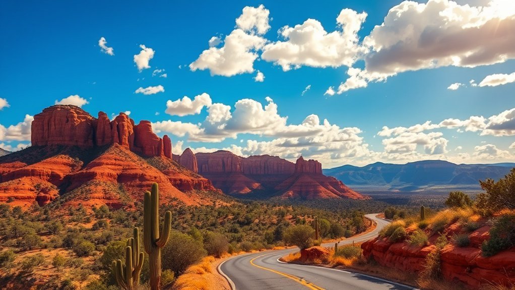
You might think Williams is just a Route 66 stopover, but this mountain town is one of northern Arizona’s easiest bases for day trips. From here, you can ride a historic train to the Grand Canyon South Rim, follow forest roads into ponderosa country, chase neon along Route 66, or make a bigger loop toward Sedona, Flagstaff, Walnut Canyon, Meteor Crater, and Fossil Creek. The best choice depends on how much driving you want, whether you need permits, and whether roads, fire restrictions, or seasonal closures are in effect.
Quick Answer
The best day trips from Williams, Arizona are the Grand Canyon South Rim, the Grand Canyon Railway, Kaibab National Forest, Route 66 towns, Sedona, Bearizona, Flagstaff-area national monuments, Meteor Crater, Sycamore Canyon, and Fossil Creek. For the easiest day, choose the South Rim or railway; for fewer crowds, choose Kaibab Forest or Route 66.
Key Takeaways
- The Grand Canyon South Rim is the classic Williams day trip, about 60 miles north via AZ-64, with year-round access and free South Rim shuttle buses once inside the park.
- The Grand Canyon Railway is best when you want the canyon experience without parking stress; the train ride is part of the attraction.
- For flexible, lower-crowd outdoor time, choose Kaibab National Forest, Sycamore Rim Trail, Kaibab Lake, or Bill Williams Mountain instead of overreaching to remote North Rim roads.
- Sedona, Fossil Creek, and some forest roads require extra planning because wildfire alerts, road work, permits, weather, and limited cell service can change a day quickly.
Best Day Trips from Williams at a Glance
| Day Trip | Best For | Planning Note |
| Grand Canyon South Rim | First-time visitors, sunrise, rim walks | Check Grand Canyon conditions and use the free South Rim shuttles. |
| Grand Canyon Railway | Families, relaxed travelers, no-parking canyon visit | Book ahead and confirm the current railway schedule and route. |
| Kaibab National Forest | Short hikes, picnics, forest drives, wildlife watching | Stay near the Williams Ranger District and check Kaibab National Forest alerts. |
| Route 66 towns | Neon signs, diners, museums, easy photo stops | 2026 is Route 66’s centennial year, so expect extra interest and events. |
| Sedona and Oak Creek Canyon | Red rocks, galleries, scenic drives, short hikes | Check ADOT road alerts before using SR 89A or Oak Creek Canyon. |
| Fossil Creek | Water, canyon scenery, longer adventure days | Treat it as a permit-first, remote day and reserve through Recreation.gov when required. |
Note: Drive times in northern Arizona change with snow, summer storms, wildfire activity, road work, holiday traffic, and forest-road conditions. Download offline maps, carry water, and check official alerts before leaving Williams.
Grand Canyon South Rim Day Trip
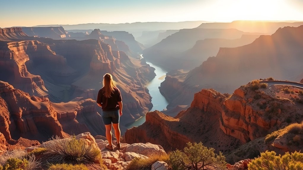
The Grand Canyon South Rim is the most essential day trip from Williams. According to the National Park Service, the South Rim is about 60 miles north of Williams via Route 64, which makes it realistic for sunrise, a half-day rim walk, or a full day of overlooks and museums.
Start at the Grand Canyon Visitor Center, then walk to Mather Point for the first big view. From there, use the paved Rim Trail for easy walking between viewpoints, or park once and rely on the park’s free South Rim shuttle buses to reach Grand Canyon Village, Yavapai Geology Museum, the South Kaibab Trailhead area, and Hermit Road viewpoints when seasonal shuttle routes are operating.
If you only have a few hours, keep the plan simple: Mather Point, Yavapai Point, the Trail of Time, Grand Canyon Village, and one or two Hermit Road stops. If you have a full day, add Desert View Drive or a ranger program. Bring layers because the rim sits high, and pack more water than you think you need. Even short rim walks can feel dry, windy, and exposed.
Warning: Do not treat a below-the-rim hike as a casual add-on. A short walk down Bright Angel or South Kaibab means a steep climb back up, hotter temperatures, and limited water. Check current trail, weather, shuttle, and water updates on the Grand Canyon conditions page.
Kaibab National Forest Hikes and Scenic Drives
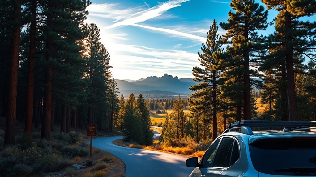
For a quieter day close to town, head into the Williams Ranger District of Kaibab National Forest. This district surrounds Williams, sits on the Coconino Plateau, and is crossed by I-40 and AZ-64, the highway that leads north toward the Grand Canyon. It is a better fit for a Williams-based day than far-flung North Rim roads.
Good choices include Kaibab Lake for an easy picnic or shoreline walk, Bill Williams Mountain for a steeper forest outing, and the Sycamore Rim Trail for views along the upper edge of Sycamore Canyon. The Forest Service notes that the Sycamore Rim Trail forms a loop with several access points and travels through both ponderosa forest and canyon-rim scenery.
- Kaibab Lake: best for a relaxed picnic, fishing, sunset, or a low-effort nature stop close to town.
- Bill Williams Mountain: best for a higher-elevation hike or scenic drive when roads are open and dry.
- Sycamore Rim Trail: best for canyon views, forest walking, and seasonal waterfall scenery near Sycamore Falls.
- Forest roads near Williams: best for slow scenic drives, elk watching, and photography, but only when conditions are suitable for your vehicle.
Bring a paper map or downloaded Forest Service map because service can vanish quickly. In summer, check fire restrictions before planning campfires or dispersed picnics. In winter and early spring, expect snow, mud, locked gates, or roads that are too rough for low-clearance vehicles.
Pro Tip: For an easy forest day, pair Kaibab Lake with a short Williams Route 66 walk. For a more adventurous day, choose Sycamore Rim Trail and carry offline navigation.
Grand Canyon Railway Excursion
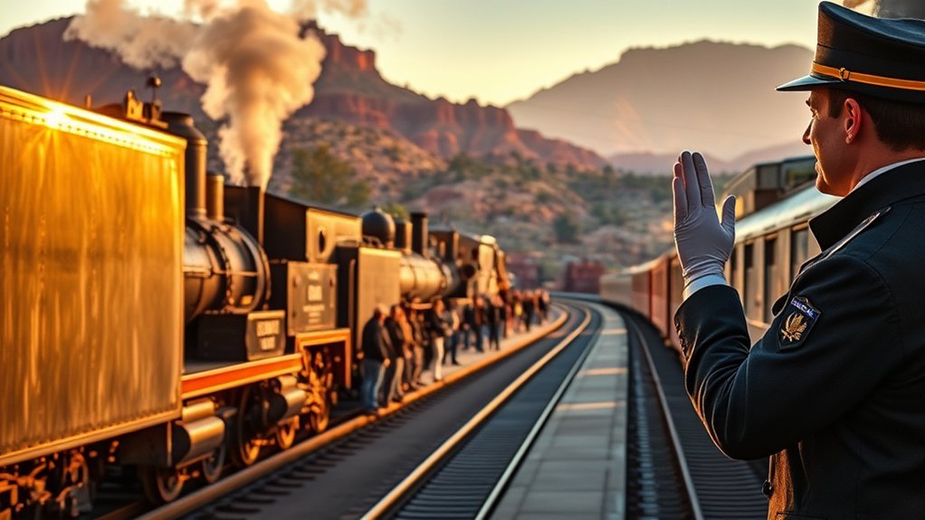
The Grand Canyon Railway turns the trip to the South Rim into part of the experience. The railway departs from Williams, travels north to the South Rim, and covers 65 miles in about 2 hours and 15 minutes each way. You trade parking stress for vintage rail cars, scenery, conductors, entertainment, and an easy arrival near Grand Canyon Village.
This is one of the best day trips from Williams for families, multi-generation groups, and anyone who wants a relaxed canyon visit without driving in and out of the park. Once you arrive, use your time for rim views, the historic El Tovar area, Hopi House, Verkamp’s Visitor Center, the Rim Trail, or a short shuttle-assisted loop.
Book tickets early in busy seasons, and check the day’s schedule before building dinner plans in Williams. The train gives you a fixed window at the canyon, which is convenient for many travelers but less flexible than driving yourself.
Historic Route 66 Towns and Roadside Gems
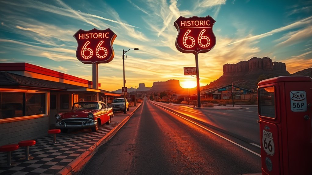
You do not have to leave the Mother Road behind when you base in Williams. Downtown Williams has one of Arizona’s most photogenic Route 66 stretches, with neon signs, diners, souvenir shops, murals, motels, and rail history packed into an easy walk. The official Williams visitor site highlights the town’s Route 66 history, Grand Canyon Railway connection, and six blocks of historic buildings and shops.
For 2026, Route 66 has an extra hook: the National Park Service is commemorating the 100th anniversary of historic Route 66. That makes Williams, Seligman, Ash Fork, and Kingman especially timely stops for travelers who like roadside history.
Historic Downtown Strolls
Start with Williams itself before driving farther. Walk the main drag slowly, then look for preserved signs, old storefronts, rail details, murals, and cafés that still feel tied to the road-trip era. You will get better photos in early morning or blue hour, when signs and storefront lights stand out without harsh midday glare.
- Williams: best for an easy no-drive Route 66 evening after a Grand Canyon day.
- Ash Fork: best for railroad history, old road alignments, and a quieter roadside stop.
- Seligman: best for classic Route 66 color, gift shops, vintage signs, and kitschy photos.
- Kingman: best for a longer Route 66 day with museums and a larger historic district.
Classic Neon Signage
Neon is part of the fun, but the best Route 66 photos happen when you slow down and read the details. Look for motel signs, diner signs, gas-station shapes, restored storefronts, and plaques that explain what a building used to be. Photograph signs from public sidewalks, respect private property, and avoid blocking business entrances just to get a shot.
Route 66 Roadside Stops
A Route 66 day from Williams works best when you keep it loose. Pick one direction, plan two or three stops, and leave time for a diner lunch, antiques, or a museum. If you head west, Seligman and Kingman make the most sense. If you stay close, Williams and Ash Fork give you a shorter, easier loop.
Bearizona, Kaibab Lake, and Easy Williams Half-Day Stops
Not every day trip needs to be a full-day haul. If you want a lighter day, stay close to Williams and pair Bearizona with Kaibab Lake, downtown Route 66, or a short forest drive. Bearizona sits in Williams near I-40 and Historic Route 66 and includes both a drive-through wildlife area and walk-through exhibits.
This is a good option for families, travelers with limited mobility, or anyone who wants a break between bigger driving days. Go early in summer, bring snacks and water, and confirm current hours and ticket rules before you arrive. Afterward, Kaibab Lake gives you a calmer outdoor stop without committing to a rugged hike.
Flagstaff, Walnut Canyon, Sunset Crater, and Meteor Crater Loop
For geology and history without going all the way to Sedona, make a Flagstaff-area loop. Walnut Canyon National Monument, about 7.5 miles east of Flagstaff, preserves cliff dwellings and canyon landscapes connected to Indigenous communities. The National Park Service describes Walnut Canyon as a place where vibrant communities built homes in the cliffs and farmed along the rim.
If you want volcanic scenery, continue toward Sunset Crater Volcano National Monument. The NPS notes that the area preserves lava-flow landscapes from Arizona’s most recent volcanic eruption, and many visitors combine it with the scenic loop toward Wupatki. For a bigger science-focused day, add Meteor Crater east of Flagstaff; the official visitor site describes it as a well-preserved meteorite impact site with museum exhibits and rim views.
This loop is best for travelers who enjoy museums, short interpretive trails, geology, and archaeology. Stay on paved and signed trails, especially at national monuments where fragile cultural and volcanic resources are protected.
Williams to Sedona: Red Rock Day Escape
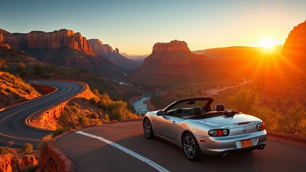
Sedona feels completely different from Williams: red sandstone spires, cottonwood-lined creeks, art galleries, trailheads, and scenic pullouts replace pine forest and Route 66 neon. It can be a rewarding day trip, but it is also one of the busier choices, so leave early, expect parking pressure, and check road conditions before committing to Oak Creek Canyon or SR 89A.
For a simple Sedona day, choose one scenic drive, one short walk, one viewpoint, and one meal stop. Do not try to hike every famous trail in a single day. If trailhead parking is full, use the Sedona Shuttle when available, or shift to galleries, viewpoints, and less crowded stops.
Warning: Before driving to Sedona, check ADOT alerts and Coconino National Forest updates. SR 89A, Oak Creek Canyon, and nearby trailheads can be affected by wildfire activity, rockfall, construction, winter weather, or temporary closures.
| Scenic drive | Oak Creek Canyon, if roads and alerts are clear |
| Short hike | Cathedral Rock base area, Bell Rock Pathway, or an easier shuttle-served trail |
| Gallery stroll | Tlaquepaque Arts & Shopping Village |
| Photo ops | Airport Mesa, scenic pullouts, and red rock viewpoints |
| Best pace | One hike, one meal, one scenic drive, and sunset if you are comfortable driving back after dark |
Waterfalls and Canyons: Sycamore Canyon and Fossil Creek
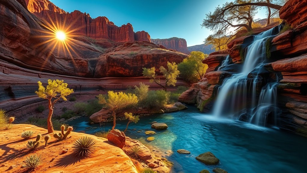
If you want canyon scenery beyond the Grand Canyon, look at Sycamore Canyon first and Fossil Creek only if you are ready for a longer, permit-driven adventure. These are not interchangeable stops. Sycamore Canyon’s upper reaches are much more logical from Williams, while Fossil Creek requires more driving, more planning, and seasonal access rules.
Sycamore Canyon Highlights
Sycamore Canyon is one of the best rugged landscapes near Williams. The Forest Service describes the upper reaches of Sycamore Canyon as lying at the southeastern edge of Kaibab National Forest, with limited forest roads and trails providing access. The Sycamore Rim Trail is the most useful planning anchor because it offers several access points, ponderosa forest, canyon-edge views, and seasonal waterfall scenery.
- Sycamore Rim Trail: choose a segment instead of committing to the full loop unless you are prepared.
- Sycamore Falls: most dramatic after snowmelt or rain, but flow is seasonal and not guaranteed.
- Canyon overlooks: best for photographers who want red-rock scale without Grand Canyon crowds.
- Forest-road access: check road conditions and avoid muddy roads after storms.
This is a better fit for hikers who already carry water, layers, offline maps, and basic backcountry judgment. Do not count on cell service, and tell someone where you are going if you plan to hike away from busy trailheads.
Fossil Creek Springs
Fossil Creek is a gorgeous but more demanding day trip. The Forest Service describes Fossil Creek as one of Arizona’s two Wild and Scenic Rivers, with spring water, travertine formations, and a deep canyon setting. Recreation.gov notes that advance vehicle permits are required during the April 1–October 1 permit season, and access rules can change by season, weather, and road condition.
Plan Fossil Creek only after confirming permits, roads, weather, fire restrictions, and the exact parking area you reserved. Bring more water than you expect to need, pack out all trash, avoid glass containers, and do not assume you can camp or build a fire in the permit area. This is a long day from Williams, so leave early and keep the plan simple once you arrive.
Note: If you mainly want waterfalls close to Williams, start with Sycamore Falls after wet weather. If you specifically want Fossil Creek’s turquoise water, treat it as a special permit trip rather than a casual add-on.
Frequently Asked Questions
Are pets allowed on the Grand Canyon Railway trains?
Pets are not allowed on Grand Canyon Railway passenger cars, except qualified service animals. The railway offers a pet resort in Williams, and service animals are permitted on the train and in railway facilities. Always confirm current rules before booking.
Can I bring my dog to the Grand Canyon South Rim?
Dogs are allowed in some developed South Rim areas and on some paved rim-side routes, but they must be leashed and are not allowed below the rim or on park shuttle buses, except service animals. Check the NPS pet rules before planning a pet-friendly canyon day.
What cellphone service is available at remote trailheads?
Expect weak or no service at remote forest trailheads, canyon roads, and parts of Fossil Creek. Download offline maps, carry a paper map when possible, and do not rely on phone service for navigation or emergencies.
Are bike rentals available in Williams for day trips?
Bike-rental availability in Williams can be limited and seasonal, so verify with local shops or your lodging before relying on it. If biking is a priority, also check Grand Canyon South Rim bicycle options and shuttle rules before your trip.
Do I need a permit for Fossil Creek?
Yes, during the main permit season, advance vehicle permits are required for the Fossil Creek permit area. Recreation.gov lists the current permit rules, dates, parking areas, and availability, so check it before driving from Williams.
Do I need a permit for drone photography at Fossil Creek?
Do not assume you can fly. Recreational drone users must follow FAA rules and Forest Service guidance, and drones may be limited by wilderness boundaries, wildfire operations, crowding, wildlife protection, temporary closures, or commercial-use rules. Check the FAA, Coconino/Tonto National Forest updates, and posted site rules before flying anywhere near Fossil Creek.
Are there fuel stations open late between Williams and Sedona?
You will usually find more reliable fuel options in Williams, Flagstaff, and Sedona than on smaller side roads. Fill up before leaving Williams, especially if you plan to drive forest roads, detour for closures, or return late.
What is the easiest day trip from Williams?
The easiest major day trip is the Grand Canyon South Rim because the route is direct and the park has visitor services, parking areas, and shuttle buses. For a very light day, choose Bearizona, Kaibab Lake, and downtown Williams instead.
Conclusion
Williams works because it gives you options. You can go big with the Grand Canyon South Rim, slow down on the Grand Canyon Railway, wander Route 66 neon, escape into Kaibab National Forest, or build a longer red-rock, canyon, or geology loop toward Sedona, Flagstaff, Meteor Crater, Sycamore Canyon, or Fossil Creek. The smartest plan is not the longest one; it is the one that fits your daylight, road conditions, permits, energy, and season. Check the official updates, pick one main destination, and leave room for the small stops that make northern Arizona memorable.
Sources
- National Park Service — Grand Canyon South Rim directions — supports the Williams-to-South Rim distance and access route.
- National Park Service — South Rim shuttle buses — supports shuttle guidance and South Rim transportation planning.
- Grand Canyon Railway — schedule and route — supports the 65-mile railway route and travel-time details.
- U.S. Forest Service — Sycamore Rim Trail — supports Kaibab National Forest hiking and canyon-rim guidance.
- Recreation.gov — Fossil Creek Wild and Scenic River permits — supports Fossil Creek permit and access planning.
- Arizona Department of Transportation — road alerts — supports road-closure and condition-check recommendations.