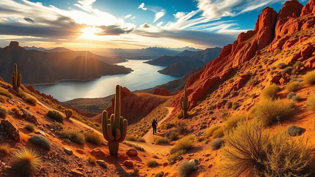
Lake Havasu hiking trails range from paved waterfront walks to rugged desert routes with steep climbs, slot canyons, and broad views over the lake. The easiest outings stay close to London Bridge or Lake Havasu State Park, while SARA Park and nearby mountain routes offer more challenge. For most desert hikes, cooler months are far more comfortable than summer.
Quick Answer
For an easy Lake Havasu walk, choose the 1.75-mile Mohave Sunset Trail, the paved Shoreline Trail, or the 3.6-mile Island Trail. For a bigger desert hike, SARA Park’s 5-mile Crack in the Wall route reaches the lake through a slot canyon. Experienced hikers can consider Lizard Peak, Crossman Peak, or Cupcake Mountain.
Key Takeaways
- Mohave Sunset, Shoreline, and Island Trail are the best verified choices for easy walking and lake views.
- SARA Park’s Crack in the Wall trail is a 5-mile round trip through desert washes and a narrow slot canyon to the lake.
- Lizard Peak, Crossman Peak, and Cupcake Mountain add steeper terrain, longer outings, or scrambling.
- Late fall through spring is generally the better season for exposed desert hiking; summer heat can make even short routes dangerous.
- Check weather before entering washes or slot canyons, carry your full water supply, and download a map before leaving reliable service.
Warning: Do not enter SARA Park’s narrow canyon or other desert washes when thunderstorms or flash flooding are possible. Summer temperatures around Lake Havasu can also become dangerously high. During extreme heat, choose a short waterfront walk, postpone the hike, or go another day rather than relying on an early start alone.
Lake Havasu Hiking Trails Compared
| Trail | Distance / Time | Difficulty | Best For |
|---|---|---|---|
| Mohave Sunset Trail | 1.75 miles | Easy | Easy shoreline scenery and wildlife |
| Shoreline Trail | Flexible paved out-and-back | Easy | London Bridge, families, casual walks |
| Island Trail | 3.6-mile loop | Easy | Walking, jogging, cycling |
| Crack in the Wall | 5 miles round trip; allow roughly 3–4 hours | Moderate with climbing | Slot canyon and lake access |
| Lizard Peak | 5.8 km / about 3.6 miles; 256 m gain | Strenuous | 360-degree summit views |
| Crossman Peak | About 5–6 hours | Strenuous | Remote summit hiking |
Distances and conditions can vary when hikers combine routes within SARA Park. Use the latest official map rather than relying only on a mileage figure or an unverified social-media track.
Top Trails for Quick Lake Views
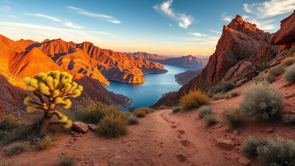
You do not need a summit climb for a good Lake Havasu view. Two of the simplest verified choices are Mohave Sunset Trail at Lake Havasu State Park and the Shoreline Trail between the London Bridge area and Rotary Community Park.
Arizona State Parks lists Mohave Sunset Trail as a 1.75-mile easy pedestrian trail through low desert and along the shoreline. It is a good choice when you want desert vegetation, lake views, and a clearly defined route without committing to a long backcountry hike.
The Shoreline Trail follows a paved walkway along Bridgewater Channel through Rotary Park. It works well for sunrise or sunset, families, runners, and visitors who want to stay near town amenities.
Pro Tip: If the weather feels too hot for an exposed desert route, switch to a short paved waterfront walk rather than trying to force a summit hike into the day.
Best Sunrise and Sunset Hikes
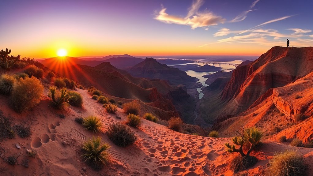
For sunrise or sunset, match the route to your experience. Lizard Peak gives you a genuine elevated viewpoint, while the Island and Shoreline trails provide easier options where you do not have to descend steep desert terrain in darkness.
Sunrise at Lizard Peak
Lizard Peak, also called Picnic Table Mountain Trail, is one of the better documented summit hikes in SARA Park. The official Lake Havasu tourism directory lists the loop at 5.8 kilometers, or about 3.6 miles, with 256 meters of elevation gain. The summit reaches roughly 1,370 feet and provides a 360-degree view across the Lake Havasu area.
This is not a casual predawn stroll. The official directory rates it strenuous and describes steep slopes. If you hike before sunrise, carry a headlamp, download the route in advance, and allow enough time to navigate slowly rather than rushing to reach the top before first light.
Sunset on the Island Trail
For a lower-risk sunset outing, use the Island Trail. Lake Havasu City documents this as a 3.6-mile paved asphalt loop around the interior of the Island. The terrain is mostly level and provides open views of the surrounding mountains.
The path is shared. Posted guidance has pedestrians and runners moving counter-clockwise while cyclists travel clockwise, so stay alert where faster users approach.
| Distance | Difficulty | Best Use |
|---|---|---|
| 3.6 mi loop | Easy | Sunset walking, jogging, or cycling |
| Paved | Mostly level | Flexible turnaround points nearby |
Shoreline Trail at Golden Hour
The Shoreline Trail is a better verified replacement for the previously described Edgewater overlook. Its paved route follows Bridgewater Channel and passes Rotary Park, a swimming beach, and views toward London Bridge.
- Sunrise tip: arrive before direct sun reaches the water if you want softer reflections and cooler walking conditions.
- Sunset tip: leave enough daylight to return comfortably even though the route stays close to developed areas.
- Safety: bring water and sun protection even on a paved waterfront walk.
Family-Friendly Walks and Easy Loops
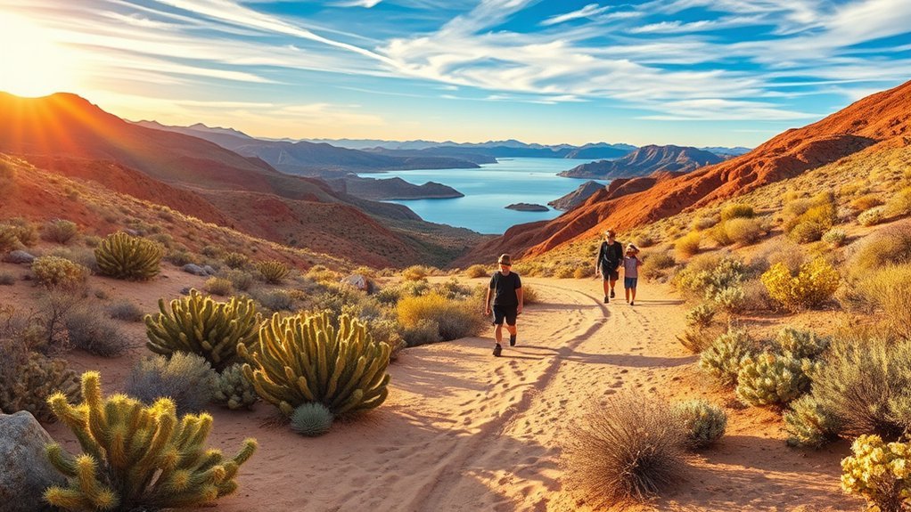
Families who want predictable surfaces and nearby facilities have better options than the rocky desert trails. London Bridge Beach, Rotary Community Park, Shoreline Trail, and the Island Trail keep you close to parking, restrooms, developed recreation areas, and quick exit points.
London Bridge Beach Stroll
London Bridge Beach sits along Bridgewater Channel just across London Bridge. According to Lake Havasu City, the park includes walking paths, two covered playgrounds, large grass areas, restrooms, ramadas, a buoyed swim area, and an enclosed dog park.
That makes it useful for families who want to walk without committing to a fixed backcountry trail. Choose your own turnaround point based on the weather and children’s energy levels.
- Terrain: developed walking paths and park surfaces.
- Amenities: restrooms, playgrounds, ramadas, grass, and nearby parking.
- Best times: morning and late afternoon during warmer months.
Rotary Community Park Paths
Rotary Community Park covers about 40 acres on Thompson Bay. The city lists multiple walking paths, restrooms, picnic ramadas, playgrounds, beach and grass areas, kayaking access, and a buoyed swim area.
This is an easy place to combine a short walk with playground time or a picnic. It also connects naturally with the Shoreline Trail for visitors who want to extend the outing toward London Bridge.
Moderate Day Hikes With Panoramic Vistas
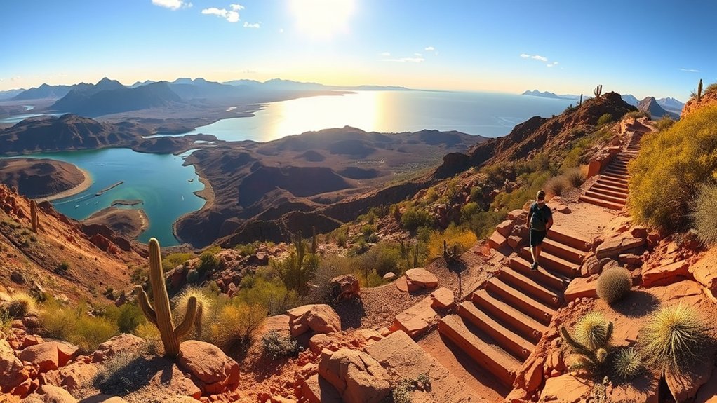
The most distinctive moderate hike near town is Crack in the Wall, often called Crack in the Mountain or SARA’s Crack. Lake Havasu City describes it as a 5-mile round-trip trail through a narrow ravine, wash bottoms, rugged hillsides, and other desert terrain before reaching a cove on Lake Havasu near Balance Rock.
The route is more adventurous than its mileage suggests because parts of the canyon are narrow and require careful movement over uneven rock. Go Lake Havasu generally classifies the route as moderate with climbing and suggests roughly three to four hours.
- Crack in the Wall: best for hikers who want SARA Park’s signature slot-canyon experience and lake access.
- Arch Rock Loop: adds a natural arch, open desert, washes, and the option of using the Crack section or its bypass.
- Lizard Peak: step up to this route when you are ready for steeper grades and a summit rather than a moderate canyon outing.
Because SARA Park contains intersecting trails and washes, carry an offline map and pay attention to route markers instead of assuming every visible path returns to the same parking area.
Warning: The official Arch Rock route information notes that water can block passage through the Crack for several days after rain. Never enter the narrow canyon when storms or flash flooding are possible.
Challenging Scrambles and Summit Routes
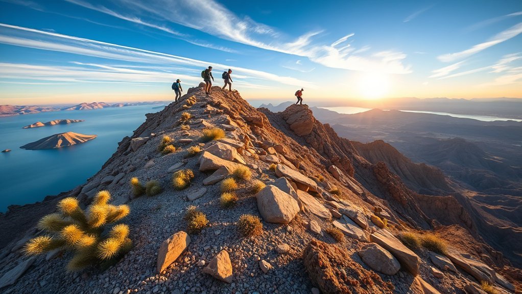
For experienced hikers, the Lake Havasu region also has routes where steep grades, loose rock, navigation, remote access, and scrambling become part of the challenge.
Crossman Peak reaches 5,103 feet, the highest point in the immediate Lake Havasu area described by the local tourism bureau. Its official route information calls the hike strenuous, estimates about 2,000 feet of elevation change, and recommends allowing five to six hours. Reaching the trailhead involves several miles of rough road where a 4WD, high-clearance vehicle is recommended. Abandoned mines occur along the route; never enter them.
Cupcake Mountain, near Parker Dam, is another serious option. The local trail description says it is for experienced hikers and warns that the final half-mile climbs very steep, loose rock. The trail can be faint, cairns are used for navigation, and access also favors a high-clearance 4WD vehicle.
Gibraltar Mountain Wilderness should be treated differently from a signed short summit trail. The Bureau of Land Management describes the 18,790-acre wilderness northeast of Parker as rugged volcanic terrain cut by sandy washes and rocky canyons. High-clearance or four-wheel-drive access is recommended near the wilderness boundary.
Wear shoes with dependable traction, keep your pack light enough for secure movement, test loose rock before weighting it, and turn around if navigation or exposure exceeds your ability. Carry all the water you expect to need rather than planning to find a usable natural source.
Desert Wildflower and Wildlife Viewing Trails
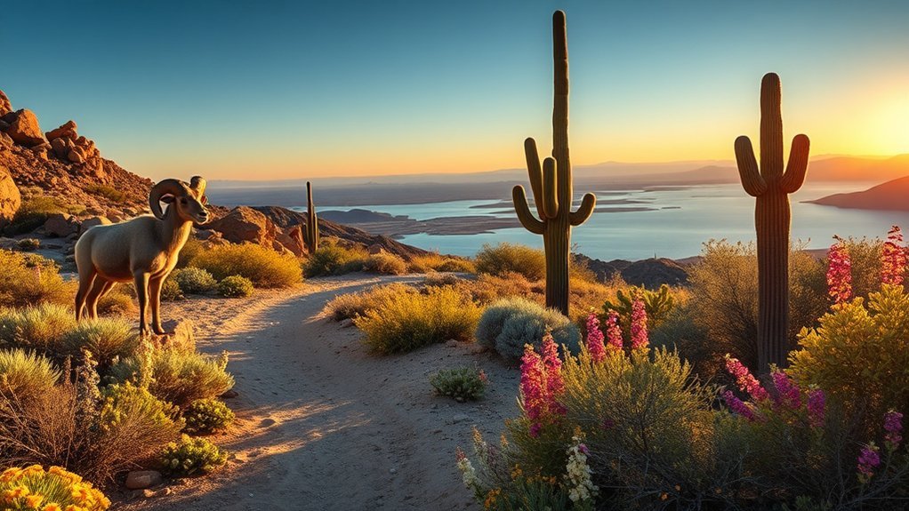
Wildflower displays around Lake Havasu vary greatly with rainfall, so no trail can guarantee a bloom. When winter and spring conditions cooperate, washes and open desert can produce brittlebush, lupine, desert marigold, and other seasonal color.
For wildlife, Mohave Sunset Trail and the Arroyo-Camino Interpretive Garden at Lake Havasu State Park are especially practical. Arizona State Parks identifies Gambel’s quail, roadrunners, great blue herons, hawks, hummingbirds, coyotes, bobcats, desert cottontails, and other desert wildlife in the park.
- Walk early when temperatures are cooler and wildlife may be more active.
- Bring binoculars and photograph flowers instead of picking them.
- Stay on established routes and give wildlife plenty of space.
Do not approach or feed animals. Desert wildlife needs access to limited food and water without becoming accustomed to people.
Water Access and Riverside Walks
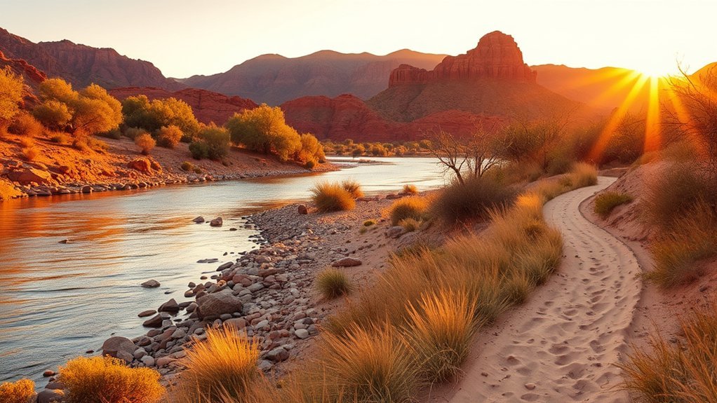
Lake Havasu’s easiest water-adjacent walks are concentrated around the developed shoreline rather than remote desert trailheads. The Shoreline Trail follows Bridgewater Channel through Rotary Park, while Mohave Sunset Trail mixes low desert with shoreline scenery inside Lake Havasu State Park.
London Bridge Beach and Rotary Community Park also let you create short walks with restrooms and recreation facilities nearby. These areas are better suited to casual strolling than remote lake coves reached through SARA Park.
At Lake Havasu State Park, pets must remain leashed and pets are not allowed on beaches. Check posted rules at each park because city parks, state parks, and BLM land do not all use identical regulations.
If you leave a formal trail for a shoreline access point, watch for slick rocks, changing water depth, boat traffic, and fragile vegetation. A walk near water may feel cooler, but it does not remove the need for drinking water and sun protection.
Trails Best for Winter and Shoulder Seasons
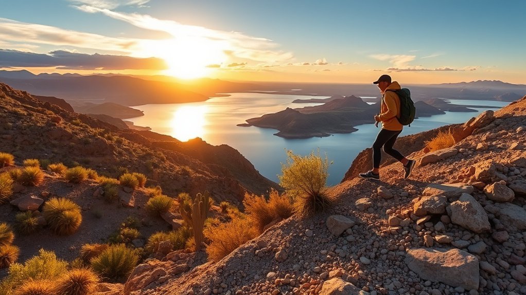
Late fall through spring is generally the most comfortable period for Lake Havasu’s exposed desert hikes. Summer commonly brings extreme heat, while winter and the shoulder seasons make longer distances and sustained climbs more manageable.
- Crack in the Wall: cooler weather makes the 5-mile desert outing far more comfortable, but avoid the slot canyon when rain or flooding is possible.
- Lizard Peak: a better cool-season choice when you want a sustained climb and broad summit views.
- Mohave Sunset Trail: useful in almost any season when conditions are comfortable because the distance is only 1.75 miles.
- Island Trail: a flexible paved option when you want easy mileage without rough desert footing.
Even in winter, bring water and sun protection. Clear desert days can still feel warm, while early mornings and evenings may be much cooler.
Best Time to Hike Lake Havasu
For strenuous desert hiking, plan primarily around temperature rather than the calendar alone. Check the forecast the evening before and again before leaving the trailhead.
During very hot weather, the safest decision may be to skip an exposed hike entirely. The National Weather Service recommends shifting strenuous outdoor activity toward cooler periods and emphasizes hydration and heat awareness. The same office warns that monsoon thunderstorms can create flash flooding and lightning hazards for hikers and mountain bikers.
In desert country, choosing the right day can matter more than choosing the right trail.
Safety, Gear, and Trail Etiquette
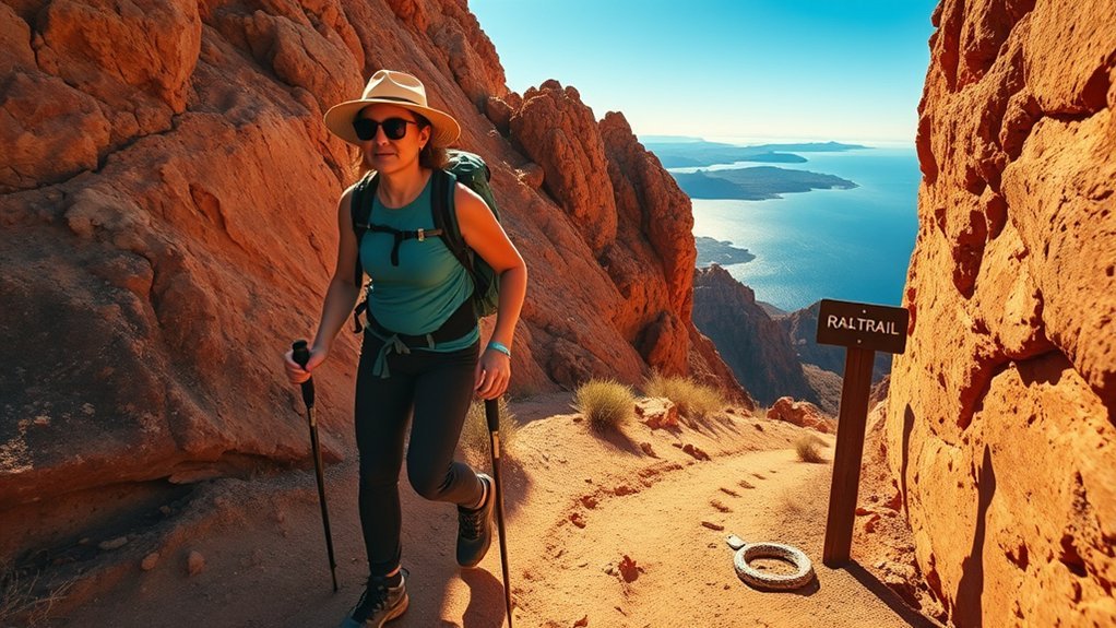
Lake Havasu hiking requires more preparation than the short mileage of some routes suggests. Most desert trails have little dependable shade, and backcountry routes may have limited signs or cell service.
- Water: carry enough for the full outing plus a reserve. Do not plan around finding drinkable water in a wash.
- Sun protection: use sunscreen, sunglasses, a hat, and lightweight protective clothing.
- Footwear: choose shoes with good tread for gravel, loose rock, and polished canyon surfaces.
- Navigation: download the route and map before leaving town or the trailhead.
- Lighting: carry a headlamp whenever you might be out near sunrise or sunset.
- Emergency basics: bring a compact first-aid kit and tell someone where you are going and when you expect to return.
Monitor yourself and your group for heat illness. Heavy sweating, weakness, headache, dizziness, nausea, confusion, or worsening coordination are reasons to stop and seek cooling or medical help. Heat stroke is an emergency.
Stay on established routes where practical, pack out all trash, leave desert plants and cultural features untouched, and avoid shortcutting switchbacks. Yield courteously to other users and keep control of dogs wherever they are permitted.
Note: SARA Park contains hiking and mountain-bike routes that intersect. A trail may look obvious at first and become less clear farther into a wash, so offline navigation is useful even close to town.
Fees, Parking, and Camping
SARA Park’s hiking areas are city recreation land, while Lake Havasu State Park, BLM lands, and other nearby recreation areas use different fee and camping systems.
As of 2026, Lake Havasu State Park lists day-use entrance fees of $20 per vehicle Monday through Thursday, $25 per vehicle Friday through Sunday and holidays, and $5 for an individual or bicycle. Fees can change, so confirm them before your trip.
BLM rules depend on the exact location. Ordinary dispersed camping does not use one universal Lake Havasu permit. Some areas are free with stay limits, while the Lake Havasu Shoreline Sites use their own day-use and overnight fees.
For developed camping, Lake Havasu State Park offers campsites with restrooms, showers, water, and electrical hookups. Cattail Cove State Park south of town is another developed lakeside camping option.
Nearby Multi-Use and Mountain Biking Routes
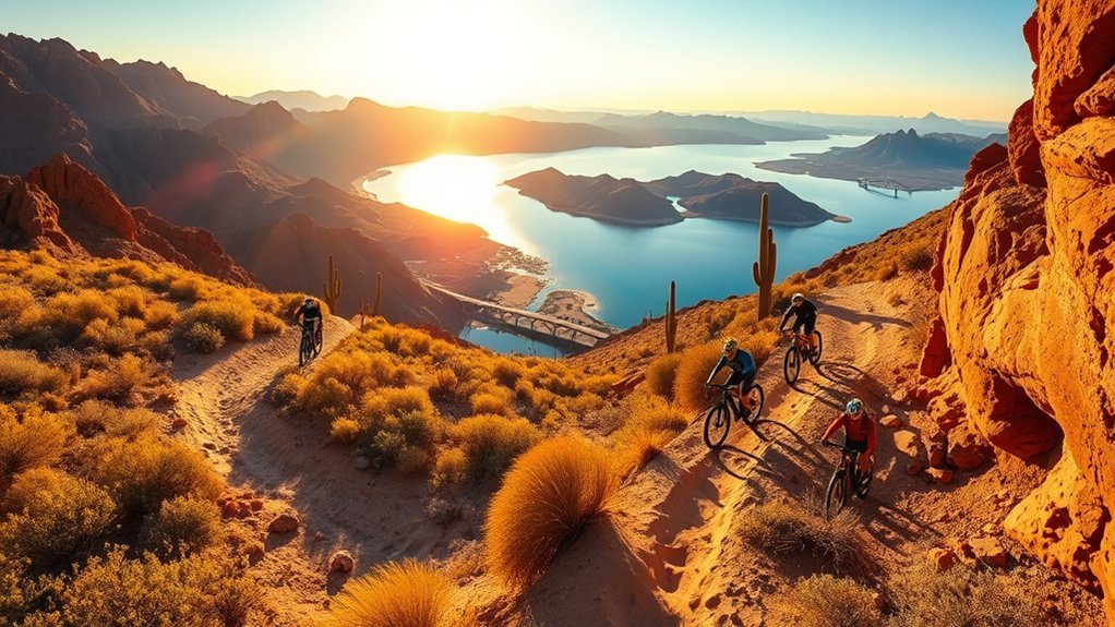
Lake Havasu City has both paved multi-use routes and rougher desert riding. The best choice depends on whether you want an easy recreational ride or technical SARA Park terrain.
- Island Trail: a 3.6-mile paved loop used by walkers, runners, and cyclists. Cyclists follow the posted clockwise direction.
- Lake Havasu City Multi-Use Trail: an approximately 8.5-mile paved route running north to south through town, with some climbs and descents.
- SARA Park: a network of hiking and mountain-bike trails with terrain ranging from easier riding to steep, rocky sections for experienced riders.
Carry repair tools and more water than you expect to need, yield according to posted trail rules, and avoid technical desert riding during dangerous heat. Current maps are available through Go Lake Havasu’s map-download page.
Frequently Asked Questions
Are there guided hikes or local tour companies available?
Yes. Go Lake Havasu currently promotes guided hikes and recommends checking with the Visitor Center for schedules and local options. Guided hiking availability can change by season, so confirm the day and route before planning around a tour.
What permits or fees are required for overnight camping?
It depends on the land manager. Lake Havasu State Park uses paid campsites and reservations. BLM dispersed-camping rules vary by area, while BLM Lake Havasu Shoreline Sites have specific day-use and overnight fees. Check the exact campsite or BLM unit before leaving rather than assuming a permit is required everywhere.
Are dogs allowed on these trails and are there leash rules?
Dogs are allowed in many local outdoor areas, but rules depend on the park or land manager. At Lake Havasu State Park, pets must be leashed and are not allowed on beaches. Check signs at city parks, SARA Park, state parks, and BLM trailheads before starting.
Where can I find potable water or restroom facilities?
Developed locations such as Lake Havasu State Park, London Bridge Beach, Rotary Community Park, and parts of SARA Park have visitor facilities. Do not expect drinking water or restrooms on remote desert routes. Start backcountry hikes carrying the water you need for the entire outing.
What are the best nearby lodging or RV parks for hikers?
Lake Havasu State Park is convenient for campers who want shoreline access and an easy drive to city trails. Cattail Cove State Park is a quieter developed camping option south of town. Havasu Springs Resort at the south end of the lake also offers motel accommodations and more than 100 full-hookup RV spaces. For SARA Park hikes, staying in Lake Havasu City usually gives the shortest drive to the trailheads.
What is the best time of year to hike in Lake Havasu?
Late fall through spring is generally best for longer exposed hikes because temperatures are more comfortable. Summer can become dangerously hot. Check the actual forecast before every hike and postpone strenuous routes during extreme heat.
Is SARA’s Crack safe after rain?
Do not enter the narrow canyon when flash flooding is possible. Official route guidance notes that water can block passage for several days after rain. Check the weather, avoid the canyon when storms threaten, and use the bypass only when current conditions make it safe to do so.
Which Lake Havasu trail is easiest for beginners?
Mohave Sunset Trail is a good beginner desert walk at 1.75 miles, while Shoreline Trail and Island Trail offer paved alternatives. Families who need playgrounds, restrooms, and short turnaround options can also use the walking paths at London Bridge Beach or Rotary Community Park.
Conclusion
The best Lake Havasu hike depends less on chasing the highest summit and more on matching the trail to the weather, daylight, and your experience. Choose Mohave Sunset or Shoreline Trail for an easy outing, Crack in the Wall for a signature SARA Park adventure, and Lizard Peak or the more remote summit routes when you are prepared for steeper terrain. Carry water, check the forecast, download your map, and be willing to change plans when heat or storms make the desert unsafe.
Sources
- Lake Havasu City — SARA Park — verifies the 5-mile Crack in the Wall route, park location, and facilities.
- Arizona State Parks — Lake Havasu Trails — verifies the 1.75-mile Mohave Sunset Trail and trail difficulty.
- Lake Havasu City — Grand Island Park — verifies the 3.6-mile paved Island Trail.
- Bureau of Land Management — Gibraltar Mountain Wilderness — verifies wilderness location, terrain, access considerations, and fee information.
- National Weather Service Phoenix — Heat Safety — supports desert heat and hydration precautions.
- National Weather Service Phoenix — Monsoon Safety — supports flash-flood, lightning, and early-start guidance for hikers.