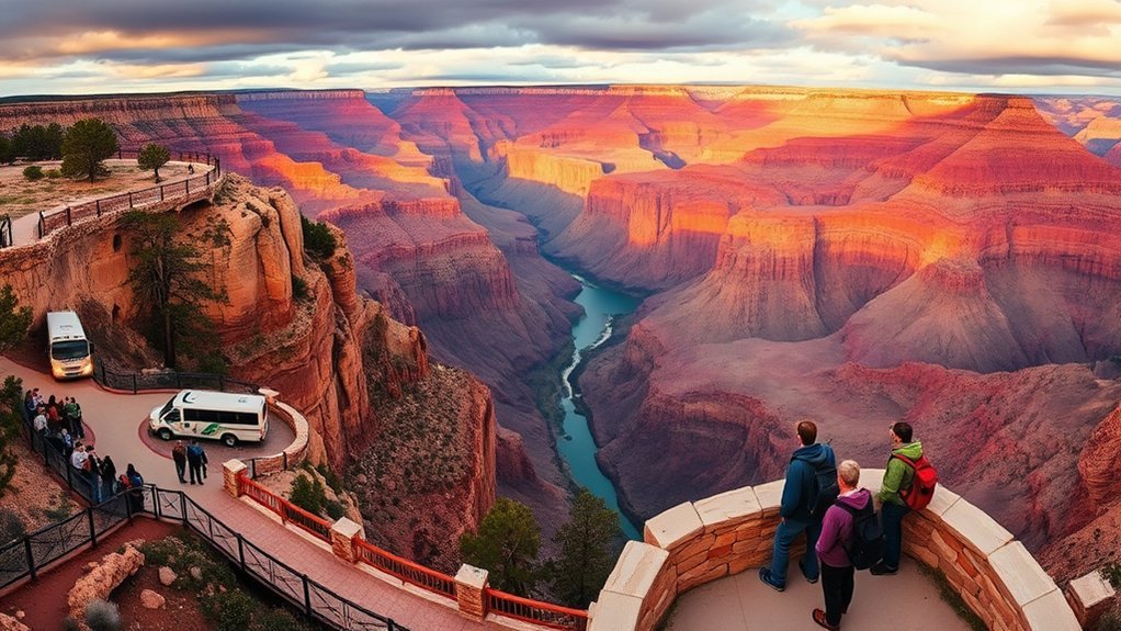
Planning a Grand Canyon South Rim visit is easier when you understand the distances, seasonal shuttle routes, weather changes, entrance fees, and differences between rim walks and below-rim hikes. The South Rim is open year-round, but transportation, trail water, parking, and road conditions can change. Use this guide to build a realistic trip and avoid common planning mistakes.
Quick Answer
For a first South Rim visit, allow one full day and arrive before 9 a.m. Start near Mather Point, walk part of the Rim Trail, use the free park shuttles, and choose either Hermit Road or Desert View Drive. Spring and fall usually offer the best balance of weather and crowds.
Key Takeaways
- The South Rim is open all year, but snow, ice, heat, thunderstorms, and seasonal shuttle schedules affect what you can safely do.
- A full day is enough for major viewpoints and a short walk. Staying one night gives you time for both sunset and sunrise.
- The Tusayan and Hermit Road shuttle routes are seasonal. Check the current National Park Service schedule before relying on them.
- Bright Angel and South Kaibab are steep inner-canyon trails. Do not treat them like ordinary park walks.
- Day hikes do not require a backcountry permit, but camping below the rim does.
At a Glance
| Time Required | Four to six hours for highlights, one full day for viewpoints and a short walk, or one to two nights for a relaxed visit. |
| Difficulty | Easy to moderate along developed overlooks and much of the Rim Trail; strenuous on every trail that descends below the rim. |
| What to Bring | Water, food, sun protection, sturdy footwear, layered clothing, a downloaded park map, and winter traction when conditions require it. |
| Entrance Cost | Standard seven-day admission is $35 per private vehicle, $30 per motorcycle, or $20 per person entering on foot or bicycle. Additional 2026 nonresident fees may apply. |
Getting to the South Rim: Routes, Airports and Transportation
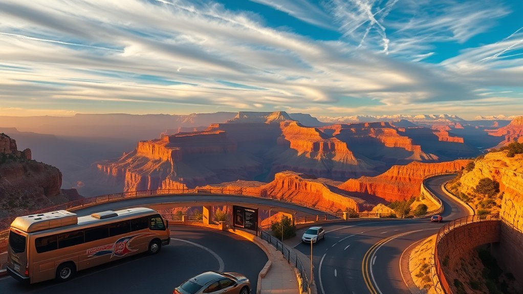
The South Rim is about 60 miles north of Williams and 81 miles from Flagstaff. Most visitors arrive through the South Entrance near Tusayan, although travelers coming from Cameron or northern Arizona can use the East Entrance at Desert View. Check the park’s official South Rim directions before leaving because winter storms, construction, and traffic can affect travel times.
Approximate Driving Distances
- Williams, Arizona: 63 miles, usually about one hour.
- Flagstaff, Arizona: 81 miles, usually about 90 minutes.
- Sedona, Arizona: 119 miles, often two to two and a half hours.
- Phoenix, Arizona: 231 miles, generally three and a half to four hours.
- Las Vegas, Nevada: 278 miles, generally four and a half hours or longer.
Travel times are estimates. Allow extra time for construction, snow, fuel stops, entrance lines, and slow traffic near Tusayan.
Flying, Rail and Regional Transportation
Flagstaff Pulliam Airport is the closest airport with scheduled commercial service, but it has fewer flights than Phoenix Sky Harbor or Harry Reid International Airport in Las Vegas. Grand Canyon Airport in Tusayan has limited service and is used mainly for scenic and charter operations.
Amtrak serves Flagstaff, and the Grand Canyon Railway operates between Williams and Grand Canyon Village. Private bus, van, taxi, and tour operators also serve the region. The National Park Service maintains a directory of authorized transportation operators, although inclusion is not an NPS endorsement.
Parking and South Rim Shuttles
The four parking lots around Grand Canyon Visitor Center are a practical first stop. During spring break, summer, holidays, and busy fall weekends, these lots often fill by late morning. Arriving before 9 or 10 a.m. usually gives you more parking and shuttle options.
Park shuttles are free, but individual routes have different operating seasons:
- Village Route: Connects the Visitor Center, lodges, campgrounds, Market Plaza, and the Backcountry Information Center.
- Kaibab Rim Route: Serves Mather Point, Yavapai Geology Museum, South Kaibab Trailhead, Yaki Point, and Pipe Creek Vista.
- Hermit Road Route: Serves the seven-mile Hermit Road corridor and nine overlooks, generally from March through November.
- Tusayan Route: Connects Tusayan with the Visitor Center during its published summer season. In 2026, service runs from May 23 through September 11, and riders must have a valid park entrance pass.
- Hikers’ Express: Provides early one-way service from Grand Canyon Village to South Kaibab Trailhead.
Always confirm the current South Rim shuttle schedule. Weather, road work, and operating changes can interrupt service.
Pro Tip: During the summer Tusayan shuttle season, park in Tusayan and ride into the park to avoid long entrance lines and crowded Visitor Center parking lots.
2026 Rim-to-Rim Note: The North Rim reopened on May 15, 2026, but no overnight lodge accommodations are available inside the North Rim this season. Traditional rim-to-rim hiking will not be possible beginning October 16, 2026, because of scheduled North Kaibab Trail work. Check the current North Rim status before reserving private transportation.
Note: The Grand Canyon Skywalk is at Grand Canyon West on Hualapai tribal land, not at the National Park Service South Rim. It is approximately 250 road miles, or about a five-hour drive, from Grand Canyon Village.
Best Times to Visit: Weather, Crowds and Seasonal Tips
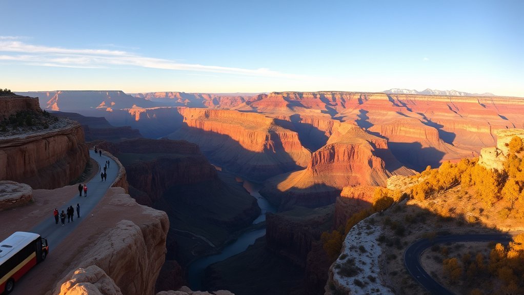
The best season depends on what you plan to do. The South Rim sits at roughly 7,000 feet, so its weather is much cooler than conditions near the Colorado River. Temperatures also change quickly after sunset and as you descend into the canyon.
Spring: March Through May
Spring can bring comfortable daytime hiking weather, blooming plants, snow, strong wind, or icy trails. Early spring is quieter than summer, but spring-break periods can be busy. Pack layers and check the road and trail forecast before leaving.
Summer: June Through Early September
Summer is the busiest period. South Rim daytime highs are often in the 80s, while temperatures near the river can exceed 100°F. Thunderstorms become more common during July, August, and early September, usually building from late morning into the afternoon.
Fall: September Through November
Fall often combines cooler hiking weather with clear views and fewer visitors than midsummer. Nights can fall below freezing, and snow is possible later in the season. Shuttle schedules and campground services begin changing as winter approaches.
Winter: December Through February
Winter offers quiet overlooks and snow-covered scenery, but roads and trails can become icy. Daytime rim temperatures may remain in the 40s, with much colder nights. Carry warm layers and use traction devices when trail conditions require them.
Warning: Do not hike from the rim to the Colorado River and back in one day. The National Park Service especially warns against this trip from May through September, when heat can become life-threatening. Lightning, flash floods, dehydration, altitude, snow, and ice can also create serious hazards.
Best Times for Sunrise and Sunset
Arrive at your chosen overlook 30 to 45 minutes before sunrise or sunset. Arizona remains on Mountain Standard Time throughout the year, so confirm the local time instead of relying on a device that may switch time zones automatically.
- Yaki Point: A strong sunrise choice with views toward O’Neill Butte and the South Kaibab Trail. Access is by shuttle, bicycle, or foot, not private vehicle.
- Mather Point: Convenient for sunrise or sunset, but often crowded because it is close to the Visitor Center.
- Hopi and Mohave Points: Popular sunset locations along Hermit Road. Check the last return shuttle before staying for sunset.
- Yavapai Point: Convenient, broad views with nearby restrooms and geology exhibits.
- Desert View: A good choice when you have a vehicle and want views of the Colorado River and Desert View Watchtower.
The NPS publishes current sunrise and sunset times together with viewpoint access information.
What to See and Do: Viewpoints, Scenic Drives, Hikes and Tours
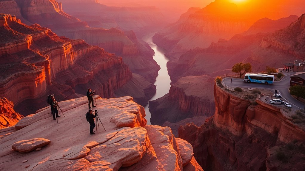
Must-See Viewpoints
- Mather Point: The classic first view, reached by a short walk from the Visitor Center parking area.
- Yavapai Point and Geology Museum: A wide canyon view with exhibits that help you understand the rock layers and geologic history.
- Yaki Point: A quieter viewpoint east of the Visitor Center that is accessible by shuttle, bicycle, or foot.
- Hopi and Mohave Points: Broad west-facing views along Hermit Road, especially useful for late-afternoon light and sunsets.
- Desert View: A developed area 23 miles east of Grand Canyon Village with river views, visitor services, and Desert View Watchtower.
Hermit Road and Desert View Drive Are Different Routes
Hermit Road runs seven miles west from Grand Canyon Village to Hermits Rest and includes nine developed overlooks. From March through November, private vehicle access is generally restricted and visitors use the Red Route shuttle, commercial tours, bicycles, or the Rim Trail. During winter, private vehicles under the posted size limit may use the road when conditions allow.
Desert View Drive runs 23 miles east from Grand Canyon Village to Desert View and the East Entrance. It is open to private vehicles throughout the year unless snow or another emergency closes it. The route includes six developed viewpoints, picnic areas, unmarked pullouts, and access to Desert View Watchtower. The standard park shuttle does not travel the full Desert View Drive.
Best Walks and Day Hikes
Rim Trail: The easiest hiking option for most visitors. The route extends for about 13 miles and is mostly paved, although surfaces and edge exposure vary by section. Use shuttle stops to create a short one-way walk instead of covering the entire trail.
Bright Angel Trail to Mile-and-a-Half Resthouse: This is a three-mile round trip that commonly takes two to four hours. It descends about 1,120 feet and is still a strenuous canyon hike. Water at the resthouse is seasonal and can be unavailable.
South Kaibab Trail to Ooh Aah Point: This 1.8-mile round trip usually takes one to two hours and includes approximately 790 feet of elevation change. The trail has little shade and no drinking water, so carry everything you need.
Longer hikes: The Three-Mile Resthouse, Cedar Ridge, Skeleton Point, Havasupai Gardens, and other deeper destinations require more time, water, food, and fitness. Ask a ranger whether your plan matches current heat, water, and trail conditions.
The National Park Service reports more than 300 canyon rescues in a typical year. Your turnaround decision is part of your safety plan, not a sign that you failed to complete a hike.
Noncommercial day hikes do not require a permit. A backcountry permit is required when you camp overnight below the rim. Before every below-rim hike, check the park’s critical hiking updates for closures, heat risk, and drinking-water availability.
A Practical One-Day South Rim Itinerary
- Before 9 a.m.: Arrive at the Visitor Center and walk to Mather Point, or reach Yaki Point in time for sunrise using the appropriate shuttle.
- Morning: Visit Yavapai Geology Museum and walk a section of the Rim Trail.
- Late morning: Explore Grand Canyon Village, including the historic district, Kolb Studio, Hopi House, and the rim near Bright Angel Lodge.
- Afternoon: Choose either the Hermit Road shuttle and overlooks or a drive along Desert View Drive. Trying to do both can make the day rushed.
- Sunset: Finish at Hopi Point, Mohave Point, Yavapai Point, Mather Point, or Desert View, depending on your transportation plan.
Guided Activities and Air Tours
Ranger programs, commercial bus tours, guided hikes, bicycle tours, mule trips, and air tours are available at different times of year. Schedules, age limits, weather policies, and physical requirements vary. Use the park’s Commercial Use Authorization directory to confirm that an operator is authorized to work in the park.
Where to Stay Near the South Rim
Staying inside the park makes sunrise, sunset, and early trail access easier. South Rim lodging operates throughout the year but often books well ahead for spring break, summer, and fall weekends.
Inside Grand Canyon National Park
- El Tovar Hotel
- Bright Angel Lodge
- Kachina Lodge
- Thunderbird Lodge
- Maswik Lodge
- Yavapai Lodge
Most Grand Canyon Village lodges are within walking distance of the rim or a shuttle stop. Check the official NPS lodging page for authorized reservation providers and current service notices.
Tusayan and Williams
Tusayan is the closest gateway community. The South Entrance Station is about 1.6 miles north of town, while Grand Canyon Village is approximately seven miles away. Tusayan has hotels, restaurants, shops, and seasonal shuttle service.
Williams is about 63 miles from the South Rim. It has more lodging choices, access to Interstate 40, and Grand Canyon Railway service, but it adds about two hours of total driving to a South Rim day trip.
Camping
Mather Campground is open throughout the year, while Desert View Campground operates seasonally. Trailer Village provides RV sites with hookups. Campground opening dates, reservation windows, water restrictions, and fire rules can change, so verify them before arrival.
Entrance Fees, Reservations and Practical Rules
The standard Grand Canyon entrance pass is valid for seven days and includes the South Rim and North Rim when the North Rim is open:
- Private vehicle: $35
- Motorcycle: $30
- Individual entering on foot or bicycle: $20
- Grand Canyon Annual Pass: $70
- America the Beautiful Resident Annual Pass: $80 for eligible U.S. citizens and residents
Beginning January 1, 2026, non-U.S. residents age 16 and older generally pay an additional $100 per person at Grand Canyon National Park unless they are covered by an eligible annual pass. The America the Beautiful Non-Resident Annual Pass costs $250 and may be more economical for some groups or multi-park trips.
The park does not currently require a timed-entry reservation, but you still need an entrance pass. Entrance stations do not accept cash. Review the latest Grand Canyon fees and pass rules before your trip.
What to Pack and How to Stay Safe
- Carry more water than you expect to need, especially for any below-rim hike.
- Bring salty snacks or meals instead of relying only on water.
- Wear sturdy footwear with dependable traction.
- Use sunscreen, sunglasses, a hat, and protective clothing.
- Pack warm layers even when the daytime forecast looks mild.
- Carry rain protection during the summer thunderstorm season.
- Bring traction devices when winter paths are icy.
- Download the NPS app and offline park maps before arriving.
- Tell someone your trail, destination, and expected return time.
The South Rim’s elevation can make walking and climbing feel harder than expected. Slow down, take breaks, and watch for headache, nausea, dizziness, or unusual shortness of breath.
During thunderstorms, leave exposed overlooks and avoid isolated trees, cliff edges, metal railings, and open ground. A clear morning does not guarantee a storm-free afternoon.
Accessibility
All park shuttle buses are wheelchair accessible, subject to published wheelchair-size limits. Many overlooks, visitor facilities, and paved Rim Trail sections are accessible. Visitors with mobility limitations may request a Scenic Drive Accessibility Permit for certain roads that are normally closed to public traffic. Review the park’s accessibility information before arriving.
Pets
Leashed pets are allowed on many developed South Rim paths above the rim, but pets are not allowed on inner-canyon trails or park shuttle buses. Never leave a pet unattended in a vehicle. Hot pavement, altitude, wildlife, and limited shade can create additional risks.
Frequently Asked Questions
How much time is needed for the Grand Canyon South Rim?
Allow at least four to six hours for major viewpoints and a short Rim Trail walk. One full day gives you time for Grand Canyon Village and either Hermit Road or Desert View Drive. Stay one night when possible so you can experience both sunset and sunrise without rushing.
What is the best time to visit the South Rim?
Late spring and early fall often offer a useful balance of cooler hiking weather and fewer visitors than midsummer. Conditions vary widely, however. Snow is possible in spring and fall, summer creates dangerous inner-canyon heat, and winter can bring icy roads and trails.
How much does it cost to visit the South Rim?
A standard seven-day pass costs $35 per private vehicle, $30 per motorcycle, or $20 per person entering on foot or bicycle. Beginning in 2026, non-U.S. residents age 16 and older generally pay an additional $100 per person unless covered by an eligible annual pass.
What town is closest to the Grand Canyon South Rim?
Tusayan is the closest gateway community. The South Entrance Station is about 1.6 miles north of town, and Grand Canyon Village is approximately seven miles from Tusayan. Williams is about 63 miles from the South Rim.
Do I need a reservation to enter the South Rim?
The park does not currently require a timed-entry reservation. You do need a valid entrance pass. Lodging, campgrounds, guided activities, and overnight backcountry trips may require separate reservations or permits.
Do I need a permit to hike below the rim?
You do not need a permit for a noncommercial day hike. You need a backcountry permit if you plan to camp overnight below the rim. Commercial guiding and some organized activities have separate authorization requirements.
Can I see the South Rim in one day?
Yes. Start early, visit Mather Point and Yavapai Point, walk part of the Rim Trail, explore Grand Canyon Village, and choose either Hermit Road or Desert View Drive. Do not try to combine a long inner-canyon hike with every major viewpoint in one day.
Is the Grand Canyon Skywalk at the South Rim?
No. The Skywalk is at Grand Canyon West on Hualapai tribal land, outside Grand Canyon National Park. It is roughly 250 road miles and about five hours by car from Grand Canyon Village on the South Rim.
Can I take my dog to the South Rim?
Leashed pets are allowed on many developed paths above the rim, but they are not allowed on inner-canyon trails or park shuttle buses. Pet-friendly lodging is limited, and pets should never be left unattended in a vehicle.
Conclusion
A successful Grand Canyon South Rim visit starts with a realistic schedule. Arrive early, park once when possible, use the correct seasonal shuttle, and choose a manageable combination of viewpoints, walks, and scenic roads. Spring and fall often provide comfortable conditions, but every season requires preparation. Check live road, trail, water, shuttle, and weather information before leaving, especially when you plan to hike below the rim.
Sources
- National Park Service: Travel to the South Rim — official driving distances, airports, rail, and transportation options.
- National Park Service: South Rim Shuttle Buses — current shuttle routes, schedules, stops, and access rules.
- National Park Service: Grand Canyon Fees and Passes — standard admission, annual passes, cashless entry, and 2026 nonresident fees.
- National Park Service: Grand Canyon Weather and Climate — seasonal temperatures, monsoon storms, snow, and elevation-related changes.
- National Park Service: Grand Canyon Day Hiking — trail difficulty, permit rules, rescue information, and hiking safety.
- National Park Service: Critical Hiking Updates — live trail closures, water availability, heat risk, and rim-to-rim restrictions.