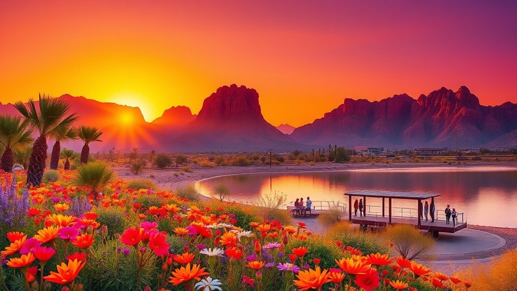
Like stepping into a frozen sunburst, Wupatki opens into layers of history and open desert. You’ll see stone pueblos, lava-cut views, and short trails that reward a slow pace. Use this guide for practical routes, site highlights, and visitor essentials so you can plan a respectful, efficient visit.
Wupatki’s 100 Years of Protection
Wupatki National Monument was established by President Calvin Coolidge on December 9, 1924. It turned 100 on December 9, 2024. Since 1924, the monument has grown to protect many more sites across the Wupatki Basin.
These pueblos are ancestral places. Some descendant communities still visit and care for them. Treat the ruins and the land with the same respect you would give a place of worship: stay on trails, don’t touch walls, and leave every stone where you found it.
The Eruption of Sunset Crater and Its Legacy
Sunset Crater Volcano erupted around 1085 CE. The eruption forced people to move and covered parts of the region in ash and cinders. In some places, a thin cinder layer acted like mulch. It helped soil hold moisture for dry farming. Over time, communities built stone pueblos across what is now Wupatki National Monument, and trade grew across the Colorado Plateau.
Exploring the Villages of Stone: Key Pueblos and Trails
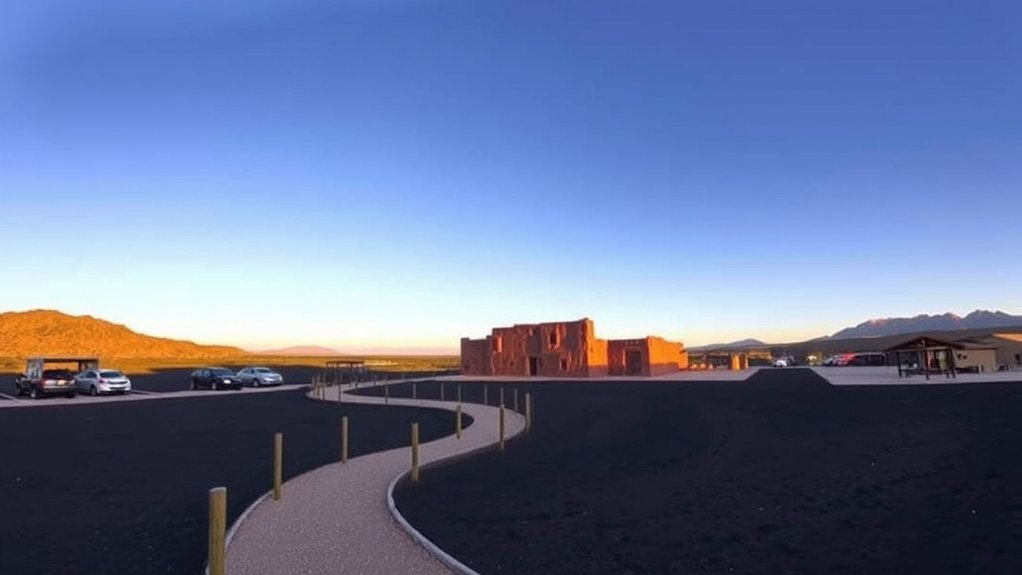
Start behind the visitor center at Wupatki Pueblo, then drive to other stops on the loop road. You can do the highlights in a half day. A full day is better if you want time for photos and trail signs.
Products Worth Considering

High-Quality Material:Hiking backpack is made of high quality rip-stop 210d nylon fabric,which is water resistant,tear resistant,anti-scratch and wear resistant. Furthermore,we also give away a rain cover with a clear silver reflective logo. It is putted in the little pocket under the backpack. So it is no doubt that all your things will keep dry during rain. Just take this outdoor backpack,no matter the weather.
Cpmprehensive Upgraded Version - The Loowoko hiking travel backpack has been completely upgraded with better materials, stronger straps and more durable zippers, making it one of the most popular hiking daypack options for consumers.
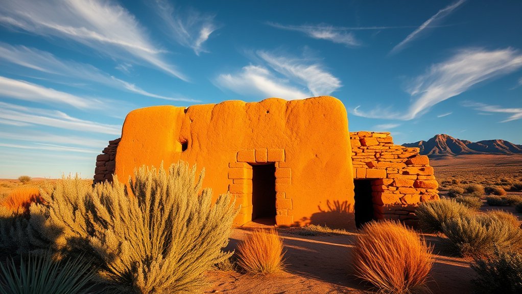
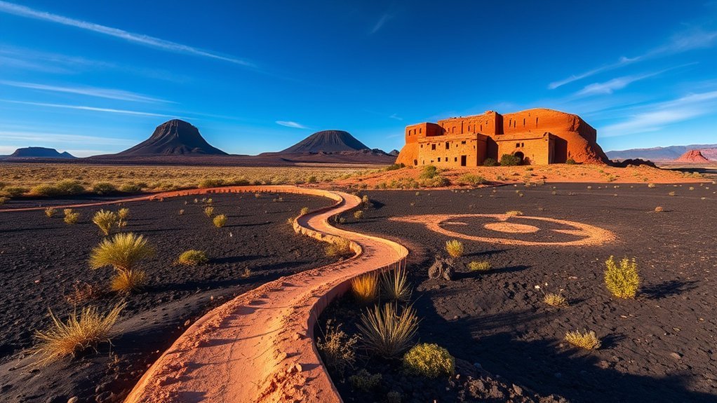
Wupatki Pueblo Highlights
Wupatki Pueblo is the largest free-standing pueblo in Northern Arizona. It has 104 rooms, a ball court, and a natural blowhole.
- Walk the 0.5-mile (0.8 km) self-guided trail behind the visitor center.
- Stop at the ball court and the blowhole to see how geology shaped daily life.
- Use overlooks and signs. Do not step into fragile rooms or on low walls.
- Zoom out: the monument protects more than 2,700 archeological sites.
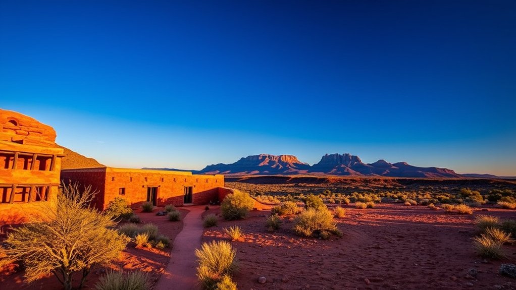
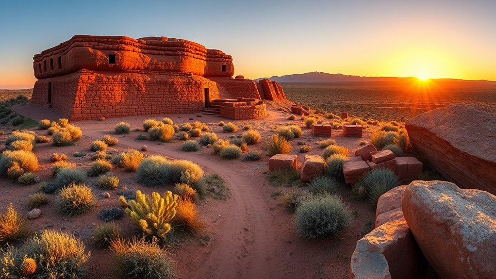
Wukoki Tower Trail
Wukoki Pueblo is an eight-room structure built on a sandstone ledge. Its tower was once three stories tall. The 0.2-mile (0.3 km) round-trip trail is short and gives big views. Pets are not allowed on the trail; service animals are allowed.
Lomaki & Box Canyon
Lomaki and Box Canyon are small but well-preserved. The trail is 0.5-mile (0.8 km) round trip on rough gravel and is not currently accessible. Pets are not allowed; service animals are allowed.
- Easy distance, but watch your step on loose gravel.
- Look for how builders used local sandstone and limestone.
- Notice the dark cinders mixed into the soil on nearby mesas.
The Blowhole and Unique Geological Features
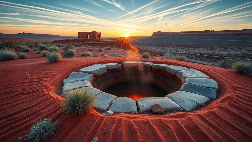
At Wupatki Pueblo, you can often feel a cool breeze rising from the blowhole. Stay on the path so you can enjoy the feature without damaging fragile ground or walls.
Natural Ventilation Phenomenon
- Feel air moving up from underground spaces.
- Notice how rock, wind, and temperature work together.
- Think about comfort, storage, and daily routines in a dry climate.
Sensory & Historical Connection
Move quietly here. Let the place stay calm. Take photos, but don’t climb or touch masonry.
| Feature | Meaning | Action |
|---|---|---|
| Blowhole | Geology in motion | Observe |
| Trail | Protection | Stay on path |
| Airflow | Comfort choices | Reflect |
| Rock | Deep time | Photograph |
| Context | Living heritage | Learn |
Practical Information: Hours, Fees, and Directions
Products Worth Considering

![Durango, Cortez [Mesa Verde National Park] Map (National Geographic Trails Illustrated Map, 144)](https://m.media-amazon.com/images/I/51nhBrOVbYL._SL500_.jpg)
National Geographic Durango/Cortez #144 by Colorado - 144
NATIONAL PARKS + NATIONAL MONUMENTS IN ONE MAP – Includes all 63 U.S. National Parks plus 138 National Monuments in a single clean, easy-to-read map of iconic protected places across the United States.
Hours and best times
- Road: open 24 hours.
- Trails: open daily from sunrise to sunset.
- Visitor center: typically 9:00 a.m.–4:30 p.m. (MST). Hours can change in winter or with weather, so check NPS operating hours before you go.
Spring and fall are often the most comfortable. Summer can top 100°F (38°C), and monsoon storms are common July–September. Winter and early spring can be windy, and snow is possible.
Admission and passes
One entrance fee covers both Wupatki and Sunset Crater Volcano National Monuments for seven days.
- $25 per private vehicle (7 days)
- $20 per motorcycle (7 days)
- $15 per person (walking or biking, 7 days)
- $45 annual pass for both monuments
Plan to pay by card. These monuments have been moving toward cashless fee collection. See current details on NPS fees and passes.
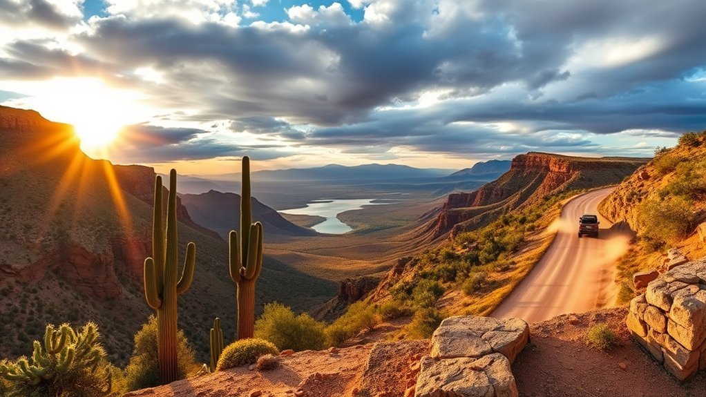
Directions and the scenic loop
From Flagstaff, take US-89 North for about 12 miles (19 km), then turn right onto Sunset Crater–Wupatki Loop Road (FS 545). The Wupatki Visitor Center is about 21 miles (34 km) from that junction. The full loop drive is about 35 miles and takes around an hour (not counting stops).
Visitor Guidelines and Safety Tips
- Do not climb on ruins or touch masonry.
- Stay on marked trails; the backcountry is closed to protect fragile sites.
- Pets are not allowed on trails (service animals are allowed where noted).
- Carry water year-round and use sun protection—shade is limited.
- Drive slowly and follow posted speed limits; wildlife can be near the road.
Where to Stay and Suggested Visit Itineraries
Flagstaff has the most hotels, food, and services. Sedona and Williams can also work as bases if you’re planning a bigger northern Arizona trip. Cell service can be spotty on parts of the loop, so download maps ahead of time.
- Half day (3–5 hours): Visitor center + Wupatki Pueblo, then Wukoki and Lomaki/Box Canyon.
- Full day: Add Sunset Crater Volcano stops and longer breaks for photos and learning.
Key takeaways
- Wupatki was established December 9, 1924, and protects more than 2,700 archeological sites.
- The loop road is about 35 miles. Most key trails are short.
- Pets are not allowed on trails, and you must stay on marked paths to protect the ruins.
Frequently Asked Questions
How do you visit Wupatki National Monument?
Drive the Sunset Crater–Wupatki Loop Road, stop at the visitor center for updates, then walk short, self-guided trails to Wupatki Pueblo, Wukoki, and Lomaki/Box Canyon.
Is Wupatki worth visiting?
Yes, if you enjoy archaeology, geology, and quiet desert views. The pueblos are close to the road, and the trails are short but memorable.
How much is the entrance fee?
As of 2026-01-26, the standard fee is $25 per private vehicle (7 days) and covers both Wupatki and Sunset Crater Volcano National Monuments. Other options include $20 per motorcycle, $15 per person (walking/biking), and a $45 annual pass.
Are dogs allowed at Wupatki?
Pets are not allowed on park trails. Service animals are allowed where noted. Plan to keep pets in approved areas like parking lots and paved roads.
What should you see first at Wupatki?
Start with Wupatki Pueblo behind the visitor center, then drive to Wukoki. If you have time, add Lomaki and Box Canyon.
Conclusion
You’ve walked ancient stone rooms, traced volcanic history from Sunset Crater, and stood where Ancestral Puebloan communities built with skill and care. Wupatki protects more than 2,700 sites. Around 2,000 people lived within roughly 50 miles of the monument in the early 1100s. Pack water, respect the ruins, and stay on trails so these places remain for future visitors and descendant communities.