South Mountain Park and Preserve gives you more than 16,000 acres of Sonoran Desert scenery and over 100 miles of hiking, biking, and equestrian trails. The best visit starts with the right trailhead, a route that matches your ability, and a careful check of park hours, Silent Sunday road closures, weather alerts, and heat restrictions.
Quick Answer
South Mountain Park and Preserve is open for trail use from 5 a.m. to 11 p.m., but parking and entrance areas close at 7 p.m. Choose Judith Tunell for an accessible walk, Kiwanis for a moderate climb, or Holbert and Alta for harder terrain. Always check current heat and road restrictions before leaving.
Key Takeaways
- Know both closing times: trails are open from 5 a.m. to 11 p.m., but parking and entrance areas operate from 5 a.m. to 7 p.m.
- Choose the correct trailhead: Mormon, Pima Canyon, Beverly Canyon, Kiwanis, Holbert, and Telegraph Pass begin in different parts of the preserve.
- Check heat restrictions: selected South Mountain trails are restricted from 8 a.m. to 5 p.m. during National Weather Service Extreme Heat Warnings.
- Plan around Silent Sunday: Summit Road closes to public motor vehicles for all or part of every Sunday.
- Follow pet and drone rules: dogs need a leash no longer than six feet and cannot use City hiking trails at 100°F or above; drones generally cannot take off or land in the preserve.
At a Glance
| Time Required | About 30 minutes for a short accessible loop to most of a day for a long ridge route |
| Difficulty | Accessible and easy paths through difficult, steep, rocky trails |
| Tools Needed | Water, sturdy footwear, sun protection, trail map or offline map, charged phone, and headlamp when hiking near dawn or dusk |
| Cost | No general admission fee for ordinary day use; reservations, organized events, and special permits may have separate fees |
Getting There, Hours, and Parking
South Mountain is too large to treat as a single trailhead. Decide which trail you want before entering an address in your navigation app. Driving to the main Central Avenue entrance will not place you near Mormon, Pima Canyon, Beverly Canyon, or Telegraph Pass.
According to the City of Phoenix South Mountain Park and Preserve page, parking and entrance areas are open from 5 a.m. to 7 p.m. Trail hours run from 5 a.m. to 11 p.m.
Note: The 11 p.m. trail closing time does not extend access to gated parking areas. If you park inside an entrance that closes at 7 p.m., finish your route and remove your vehicle before the gate closes.
Major Trailheads
| Trailhead or entrance | Official address | Useful for |
|---|---|---|
| Main entrance | 10919 S. Central Ave. | Holbert, Kiwanis, park roadways, and upper viewpoints |
| South Mountain Visitor Center | 10409 S. Central Ave. | Maps, orientation, and Judith Tunell Accessible Trail |
| Mormon Trailhead | 8610 S. 24th St. | Mormon Trail, National Trail, and Hidden Valley connections |
| Pima Canyon Trailhead | 4500 E. Pima Canyon Rd. | Desert Classic, Pima loops, and eastern National Trail access |
| Beverly Canyon Trailhead | 8800 S. 46th St. | Beverly Canyon, Javelina Canyon, and Ridgeline trails |
| Telegraph Pass Trailhead | 14251 S. Desert Foothills Pkwy. | Telegraph Pass and western National Trail connections |
Arrive early on weekends, especially during cooler months. Use designated lots, follow posted neighborhood parking restrictions, and never block a gate, driveway, emergency route, or roadway.
Pro Tip: Download the official trail map before leaving home. Trail names repeat across connected routes, and a map makes it easier to confirm where you will turn around before heat, darkness, or low water becomes a problem.
Silent Sunday Road Closures
Silent Sunday closes Summit Road to public motor vehicles so walkers, runners, cyclists, and hikers can use the road with less traffic.
- Fourth Sunday of each month: all-day closure from 5 a.m. to 7 p.m. Vehicles must turn into the Activity Complex and park there.
- First, second, third, and fifth Sundays: shortened closure from 5 a.m. to 10 a.m., with Summit Road closed at the one-mile marker.
City staff, tower workers, and emergency vehicles may still use the roadway. Check the official park page before relying on road access to Dobbins Lookout, Buena Vista Lookout, or upper picnic areas.
Best South Mountain Trails by Difficulty
Official difficulty ratings consider elevation change, footing, rocks, ruts, exposure, and other obstacles. Heat, wind, distance, and your route choices can make any trail harder than its printed rating.
| Trail | Official listed length | Elevation change | Difficulty and best use |
|---|---|---|---|
| Judith Tunell Accessible Trail | Two 0.5-mile loops; up to 1 mile total | Minimal | Barrier-free hard-surface route with benches, ramadas, and accessible parking |
| Kiwanis Trail | 1 mile | 480 feet | Moderate canyon climb suitable for hikers ready to move beyond flat desert paths |
| Beverly Canyon Trail | 1.7 miles | 250 feet | Moderate route with short rocky and steep sections |
| Desert Classic Trail | 9 miles | 270 feet | Long, lower-elevation multiuse trail; newer hikers should choose a short out-and-back section |
| Mormon Trail | About 1.1 to 1.35 miles, depending on the City segment measured | About 720 feet | Moderate to difficult climb often combined with National Trail and Hidden Valley |
| Holbert Trail | About 2.5 miles | 1,100 feet | Moderate to difficult climb with an extension toward Dobbins Lookout |
| Alta Trail | 4.8 miles | 1,100 feet | Difficult ridge route with steep approaches at both ends |
| National Trail | About 15.5 miles for the full cross-park trek | Varies by access point | Advanced long-distance ridge travel; many visitors hike only a connected section |
Use the official South Mountain trail descriptions to confirm distance, elevation change, access instructions, and current project notices.
Easy and Accessible Options
The Judith Tunell Accessible Trail is the most dependable choice for a smoother walk. It consists of two hard-surface half-mile loops near the Visitor Center, with accessible parking, benches, drinking fountains, and covered rest areas.
Short sections of the Desert Classic Trail can also work for visitors who prefer lower elevation gain. However, the complete trail is nine miles, so set a turnaround point rather than treating it as a short loop.
Moderate Options
Kiwanis Trail climbs through a rock-studded canyon and connects with the National Trail and Telegraph Pass Trail near the roadway. Beverly Canyon Trail has less total elevation gain but includes short rocky and steep sections.
The Mormon Trail and Hidden Valley area creates a popular connected route with steep climbing, rocky washes, Fat Man’s Pass, a natural tunnel, and several possible loop variations. Check the map carefully because the final distance depends on which National Trail connections you use.
Difficult Options
Holbert Trail provides a steady climb toward upper South Mountain and an extension to Dobbins Lookout. Alta Trail is steep at both ends and crosses the crest of the Ma Ha Tauk Range. Long or rocky sections of the National Trail require confident navigation, stable footing, enough water, and a realistic turnaround time.
Scenic Viewpoints and Sunrise Spots
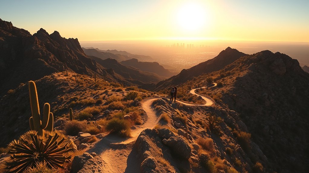
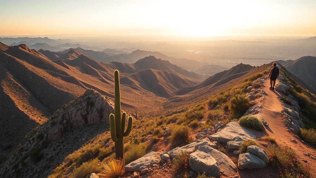
South Mountain’s ridges face broad sections of the Phoenix metro area, making the preserve popular for sunrise and landscape photography. Trails open at 5 a.m., so do not enter before then. Arrive after opening and before sunrise only when seasonal dawn time allows it.
Dobbins Lookout sits at 2,330 feet and is the highest point in South Mountain Park and Preserve that is open to the public.
- Dobbins Lookout: Reach it by Summit Road when the road is open or by hiking the Holbert Trail connection.
- Buena Vista Lookout: A roadside viewpoint near the upper park road system with broad valley views.
- Telegraph Pass: A useful sunrise route from the Desert Foothills side of the preserve.
- National Trail saddles: Rocky ridgelines with wide horizons and exposed terrain.
- Kiwanis and upper-road areas: Canyon and roadway viewpoints that take on a different character during Silent Sunday.
Bring a headlamp for low-light travel, expose photographs for bright sky highlights, and use cactus or textured rock as foreground interest. Keep tripods and bags out of the path of hikers, cyclists, and horses.
Summit Road is shared by drivers, cyclists, walkers, and hikers when open to motor vehicles. Watch for blind corners, narrow road sections, and steep drop-offs.
Heat Safety and Current Trail Restrictions
Warning: During a National Weather Service Extreme Heat Warning, Phoenix restricts Holbert Trail, Mormon Trail, Hau’pal Loop Trail, and access to the National Trail from Pima Canyon from 8 a.m. to 5 p.m. Check the City’s live restriction page before every warm-weather hike.
The Phoenix Trail Heat Safety Program explains which trails are affected during an Extreme Heat Warning. The National Trail may remain open from other trailheads, and other Pima Canyon routes may remain available, but an open trail is not automatically a safe choice in extreme temperatures.
Start early, reduce your route length in warm weather, and turn around before you have used half of your available water. Do not rely on trailhead fountains. Shade is limited on many routes, and the return trip can feel much harder as temperatures rise.
- Drink water before starting and carry more than your planned route normally requires.
- Bring electrolytes for longer or hotter outings unless a healthcare professional has advised you to limit sodium.
- Stop if you develop unusual weakness, dizziness, nausea, headache, heavy cramping, or difficulty walking normally.
- Confusion, slurred speech, seizure, collapse, or loss of consciousness can indicate heat stroke. Call 911 and begin cooling the person while emergency help is on the way.
- Tell someone your route, trailhead, expected return time, and vehicle description.
Dogs and Heat
Phoenix prohibits dogs on all City hiking trails when the temperature is 100°F or higher. At lower temperatures, keep your dog on a leash no longer than six feet, carry separate water, protect paws from hot ground, and pack out waste. The City’s current pet heat rule is published on its Heat Safety page.
Monsoon, Lightning, and Runoff
Summer thunderstorms can bring lightning, strong wind, and rapid runoff. Leave exposed ridges when thunder develops. Do not shelter beneath an isolated tree, and do not enter flowing washes. Rain can create runoff even when the heaviest storm is several miles away.
Check the forecast before starting, identify a quick route back to your trailhead, and move to a substantial building or hard-topped vehicle when lightning threatens.
Flora and Wildlife to Watch For
Common Sonoran Desert plants include saguaro, brittlebush, palo verde, ocotillo, hedgehog cactus, desert marigold, and penstemon. Seasonal moisture can produce flowers along washes and rocky slopes, but bloom timing changes with rainfall and temperature.
Desert Plants to Spot
- Saguaro: The preserve’s signature tall cactus, with flowers commonly appearing in late spring.
- Hedgehog cactus: A compact cactus that can produce bright flowers on rocky ground.
- Brittlebush: A silver-leaved shrub with yellow flowers during favorable spring conditions.
- Ocotillo: Tall, narrow stems that may leaf out after rain and flower in spring.
- Desert marigold and penstemon: Colorful wildflowers that may appear after useful seasonal moisture.
Stay on designated trails and leave flowers, rocks, cactus remains, and cultural objects where you find them.
Common Wildlife Sightings
Wildlife may include javelina, coyotes, desert cottontails, mule deer, lizards, and ravens. Observe animals from a distance, never offer food, and give wildlife a clear way to leave.
| Species | Behavior you may notice | How to respond |
|---|---|---|
| Lizards | Basking on warm rocks or making quick dashes across the trail | Give them room and avoid trying to catch or handle them |
| Mule deer | Grazing or moving near washes around dawn and dusk | Watch quietly from a distance |
| Coyotes | Trotting through open areas, scenting, or calling | Do not approach or feed them; keep pets close |
| Javelina | Traveling through washes or feeding in small groups | Back away calmly and never place yourself between adults and young |
Birdwatching Highlights
- Gambel’s quail: Listen for groups moving near thicker desert vegetation.
- Cactus wren: Watch and listen around cactus stands and brush.
- Red-tailed hawk: Scan warm-air currents above ridgelines.
- Gila woodpecker: Look around mature trees and large saguaros.
- Seasonal migrants: Spring and fall may bring additional variety.
Use binoculars or a telephoto lens rather than approaching wildlife for a closer photograph.
Trail Etiquette and Preserve Rules
South Mountain trails are shared by hikers, mountain bikers, and equestrians. Move predictably and keep enough space to stop safely.
- Hikers and cyclists yield to horses.
- Cyclists yield to hikers and announce passes with a voice or bell.
- Downhill users yield to uphill users when practical.
- Stay on designated routes and avoid cutting switchbacks.
- Keep music in headphones rather than using speakers.
- Leave plants, wildlife, rocks, and cultural resources undisturbed.
- Carry out food wrappers, pet waste, tissues, and every other item you bring.
Review the City’s Parks and Recreation Code of Conduct and posted trail signs before starting.
Seasonal Conditions and What to Pack
Choose clothing and equipment for the season, route length, elevation gain, and expected finish time. Even a short trail can become difficult when heat, wind, poor footing, or darkness is added.
Weather-by-Season Essentials
- Summer: Hike only during safer hours, shorten your route, and carry extra water and sun protection.
- Winter: Bring a warm layer for pre-dawn starts and windy ridgelines.
- Spring and fall: Expect changing temperatures and bring a light layer.
- Monsoon season: Check radar and warnings, avoid exposed ridges during thunderstorms, and stay out of flowing washes.
- Night hikes: Carry a reliable headlamp, spare power, and a warmer layer, and plan around the 7 p.m. parking-area closure.
Layering and Sun Protection
Wear a breathable base layer and add a light insulating layer when mornings are cool. A lightweight wind shell can help on exposed ridges. Use a wide-brim hat, UV-blocking sunglasses, a long-sleeve sun shirt, and broad-spectrum sunscreen. Reapply sunscreen during longer trips.
Emergency and Hydration Kit
- Enough water for your full route plus an emergency reserve
- Electrolyte tablets or powdered drink mix when appropriate
- High-energy snacks
- Basic first-aid supplies
- Headlamp with spare batteries or backup power
- Whistle and lightweight emergency blanket
- Official trail map, compass, or downloaded offline map
- Charged phone, while remembering that a phone does not replace navigation skills
Visitor Center and Nearby Amenities
The South Mountain Visitor Center is at 10409 S. Central Ave., Phoenix, AZ 85042. Current listed hours are Thursday through Sunday from 9 a.m. to 3 p.m. The center provides orientation and educational information, but the nearby Judith Tunell trail remains accessible during normal trail hours even when the building is closed.
| Resource | What to expect |
|---|---|
| Maps and information | Visitor Center, Thursday–Sunday, 9 a.m.–3 p.m.; confirm current hours before visiting |
| Water | Limited to selected facilities; bring the full amount you need |
| Restrooms | Available at selected visitor and picnic areas, not at every trailhead |
| Parking | Designated lots at major trailheads; nearby street rules vary by neighborhood |
| Post-hike food | Restaurants and shops are available in surrounding South Phoenix and Ahwatukee areas |
Frequently Asked Questions
Can I drive to Dobbins Lookout?
Yes. Dobbins Lookout can be reached by Summit Road when the road is open to public vehicles. Road closures, Silent Sunday, special events, weather, or maintenance can remove vehicle access, so check the official park page before driving. You can also reach the lookout through a Holbert Trail connection.
Can I hike at night?
Trails are normally open until 11 p.m., but parking and entrance areas close at 7 p.m. Do not leave a vehicle inside a gated area after its closing time. Carry a headlamp, know your route, and confirm posted hours before starting.
Are drones allowed in South Mountain Park and Preserve?
Phoenix City Code generally prohibits taking off or landing a drone in a City-owned park or preserve unless the location has been specifically designated or the operation qualifies for an authorized exception. The City controls use of its land, while FAA requirements still apply to the airspace and the flight itself. Review Phoenix City Code 24-49 before bringing a drone.
Can my dog hike off leash?
No. Dogs must remain under control on a leash no longer than six feet outside designated dog parks. Phoenix also prohibits dogs on all City hiking trails when the temperature is 100°F or higher. Bring water for your dog and remove all pet waste.
Are mountain bikes permitted on every trail?
South Mountain has an extensive multiuse trail system, but access and suitability vary. Follow signs at each route, avoid trails or sections closed to bicycles, yield to hikers and horses, and slow down before blind turns or crowded areas.
Can I camp overnight in the preserve?
Ordinary recreational camping and overnight backpacking are not allowed. City code permits only limited authorized exceptions, such as qualifying permitted youth activities or City-sponsored uses. Plan your visit as a day trip and remove your vehicle before its parking area closes.
Do group events or commercial photo shoots require a permit?
They may. Phoenix requires a Special Activity Request for park events with more than 50 attendees, and reservations or activity-specific permits may apply to smaller organized uses. Commercial filming and still photography on City property may require a Film and Digital Media Permit. Review the City’s park rental and film/photo information before organizing a crew, setting up equipment, reserving space, or affecting normal visitor access.
How do I check current trail closures?
Check the official South Mountain Park page and the Phoenix Trail Heat Safety Program on the morning of your visit. Also review signs at the trailhead because construction, fire danger, storms, special events, and emergency conditions can create short-notice closures.
Sources
- City of Phoenix: South Mountain Park and Preserve — park size, trail mileage, operating hours, Dobbins Lookout, and Silent Sunday.
- City of Phoenix: South Mountain Trails — official trailhead addresses, trail lengths, elevation changes, difficulty ratings, and access descriptions.
- Phoenix Trail Heat Safety Program — current Extreme Heat Warning trail restrictions.
- City of Phoenix Heat Safety — outdoor heat guidance and the 100°F dog restriction.
- Phoenix Parks and Recreation Code of Conduct — trail hierarchy, preserve behavior, pets, and visitor safety.
- Phoenix City Code 24-49 — drone and remotely controlled aircraft takeoff and landing rules in City parks and preserves.
Conclusion
South Mountain Park and Preserve can support anything from a short accessible walk to a demanding full-day ridge hike. Choose your trailhead before driving, compare the route’s distance and elevation with your ability, and remember that parking areas close earlier than the trails.
Before leaving home, check the live park page, Silent Sunday schedule, weather, and Trail Heat Safety Program. Carry enough water, stay on designated routes, respect wildlife and other trail users, and turn around early when heat, storms, low water, or fading daylight make the original plan unsafe.