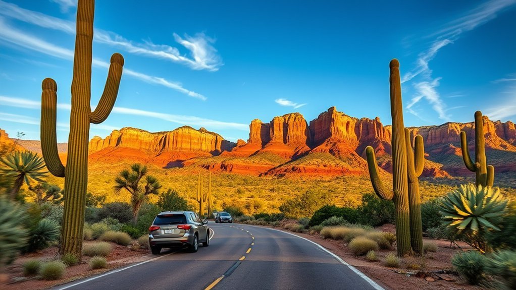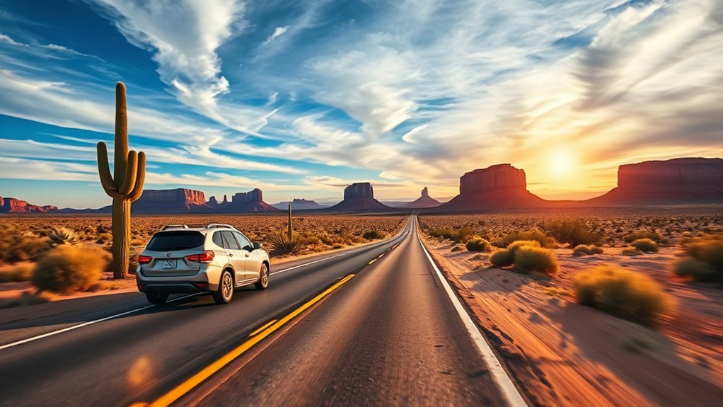
An Arizona road trip through the American Southwest delivers an unforgettable sequence of towering red-rock spires, mile-deep gorges, sculpted sandstone slot canyons, and iconic desert buttes. Starting and ending in Phoenix, this 7-day circular loop connects Sedona, the Grand Canyon South Rim, Page, and Monument Valley into one seamless, high-efficiency route across northern Arizona.
Quick Answer
The best 7-day Arizona road trip runs a 850-mile loop from Phoenix through Sedona (Days 1–2), the Grand Canyon South Rim (Days 3–4), Page for Antelope Canyon and Horseshoe Bend (Day 5), and Monument Valley (Days 6–7). Spring (March–May) and autumn (September–November) offer the best weather for hiking and driving.
At a Glance
| Total Distance | Approx. 850–920 miles (round-trip from Phoenix Sky Harbor Airport) |
| Recommended Duration | 7 Days / 6 Nights |
| Best Travel Windows | Spring (March to May) and Autumn (late September to November) |
| Required Passes | America the Beautiful Interagency Pass ($80), Red Rock Pass (or park pass), Navajo Tribal Park entry ($8/person) |
Key Takeaways
- Reserve Antelope Canyon Early: Guided tours for Upper and Lower Antelope Canyon sell out months in advance; book as soon as your travel dates are fixed.
- Use Free Shuttles: Sedona and the Grand Canyon South Rim operate shuttle systems to relieve severe trailhead and viewpoint parking congestion during peak hours.
- Mind the Time Zones: Northern Arizona operates on Mountain Standard Time (MST) without Daylight Saving Time, while the Navajo Nation observes Daylight Saving Time (MDT) from spring to autumn.
- Pack for Extreme Temperature Shifts: Desert elevation ranges from 1,100 feet in Phoenix to 7,000+ feet at the Grand Canyon South Rim, causing 30°F to 40°F daily temperature swings.
Preparing Your Arizona Road Trip: Timing, Packing, and Logistics
Planning an Arizona road trip requires balancing seasonal weather patterns, vast driving distances, and elevation changes. The transition from the low Sonoran Desert to the high Colorado Plateau means you will experience distinct microclimates in a single day.
The optimal times to execute this route are spring (March through May) and autumn (mid-September through November). Summer brings extreme heat above 100°F (38°C) in lower elevations, afternoon monsoon storms from July through August that create flash flood risks in slot canyons, and heavy tourist crowds. Winter brings snow and freezing temperatures to the Grand Canyon and Flagstaff, occasionally requiring tire chains on higher mountain passes.
Warning: Never enter slot canyons, dry washes, or low-lying desert roads if rain is forecasted anywhere in the surrounding watershed. Flash floods travel miles downstream under clear local skies.
Before leaving Phoenix, ensure your vehicle is road-ready. Inspect coolant levels, tire pressure, and your spare tire. Always carry at least one gallon of drinking water per person per day, a dedicated first-aid kit, paper maps or downloaded offline GPS maps (cellular service drops frequently on tribal lands and between towns), and high-SPF sun protection.
Day 1–2: Sedona’s Red Rocks and Scenic Drives
Route: Phoenix Sky Harbor Airport to Sedona via I-17 North and AZ-179 (Red Rock Scenic Byway)
Drive Time / Distance: 2 hours / 116 miles
Begin by driving north from Phoenix, ascending from saguaro-studded desert hills into the striking red sandstone formations of Sedona. Take the Red Rock Scenic Byway (AZ-179), stopping at viewpoints around Bell Rock and Courthouse Butte. If parking at trailheads on Coconino National Forest land, display a Red Rock Pass or an America the Beautiful Interagency Pass on your dashboard.
Pro Tip: On Thursdays through Sundays, parking lots at Cathedral Rock and Soldier Pass trailheads are closed to private vehicles. Use the free Sedona Shuttle departing from park-and-ride lots in town.
For hiking, prioritize two distinct experiences:
- Cathedral Rock Trail: A strenuous 1.2-mile round-trip scramble climbing 600 feet of vertical elevation into the saddle of the formation, renowned for panoramic golden-hour views.
- West Fork of Oak Creek: An easy-to-moderate 6.5-mile round-trip walk crossing shallow creek beds beneath towering canyon walls draped in greenery, located along scenic Highway 89A in Oak Creek Canyon.
Spend your evening exploring Uptown Sedona or West Sedona, dining at local spots, and resting up for the climb toward the Colorado Plateau.
Day 3–4: Grand Canyon South Rim Exploration
Route: Sedona to Grand Canyon South Rim via AZ-89A North to Flagstaff, then US-180 West to AZ-64 North
Drive Time / Distance: 2.5 hours / 114 miles
Depart Sedona early along AZ-89A through the hairpin switchbacks of Oak Creek Canyon, climbing to Flagstaff before heading northwest to the South Rim entrance of Grand Canyon National Park. The South Rim sits at an elevation of roughly 7,000 feet and remains open year-round.
“The Grand Canyon is carven by water; yet it is the very embodiment of silence, vastness, and geologic patience.”
Park at the Grand Canyon Visitor Center at Mather Point and utilize the free South Rim Shuttle Bus system (Village Route, Kaibab Rim Route, and Hermit Road Route) to navigate the overlooks without traffic congestion.
- Rim Trail Walking: An easy, paved trail extending along the rim edge with continuous canyon views between Mather Point, Yavapai Geology Museum, and Grand Canyon Village.
- South Kaibab Trail to Ooh Aah Point: A steep, unshaded 1.8-mile round-trip hike descending 760 vertical feet along an open ridgeline. Ideal for morning light, but requires sturdy footwear and plenty of water.
- Bright Angel Trail: Descends from Grand Canyon Village into the canyon along natural fault lines. Casual day hikers should turn around at the 1.5-Mile Resthouse (3 miles round-trip).
- Desert View Drive (AZ-64 East): Drive this 25-mile scenic route on your way out toward Page, stopping at Moran Point, Lipan Point, and the historic Desert View Watchtower designed by Mary Colter.
Warning: Never attempt to hike from the rim to the Colorado River and back in a single day. Heat inside the inner canyon can exceed rim temperatures by over 20°F (11°C), leading to severe heat exhaustion.
Day 5: Antelope Canyon, Horseshoe Bend, and Page Highlights
Route: Grand Canyon East Entrance (Desert View) to Page via AZ-64 East and US-89 North
Drive Time / Distance: 2.5 hours / 110 miles
Head northeast across the western edge of the Navajo Nation into Page, Arizona, positioned near the Utah border along Lake Powell. This region is home to two of the most photographed geologic features in the Southwest.
Visiting Antelope Canyon requires joining a licensed Navajo guide, as the slot canyons reside on sacred tribal park lands. Choose between Upper Antelope Canyon (famed for A-shaped walls and midday summer light beams) or Lower Antelope Canyon (entered via metal staircases into narrow, V-shaped corridors). Because standard walking tours strictly ban tripods, monopods, selfie sticks, and backpacks, set your camera or phone to wide-angle mode with HDR enabled to capture high-contrast sandstone textures.
Note: Horseshoe Bend requires a $10 city parking fee per standard vehicle (National Park passes are not accepted here). The walk from the parking lot to the viewing rim is an exposed, sandy 1.5-mile round trip.
Plan your Horseshoe Bend stop for late afternoon or sunset, when the sandstone cliff towers 1,000 feet above the 270-degree U-turn carved by the emerald-green Colorado River.
Day 6–7: Monument Valley, Historic Trading Posts, and Return to Phoenix
Route: Page to Monument Valley via AZ-98 East and US-160 East to US-163 North; return to Phoenix via US-89 South and I-17 South
Drive Time / Distance: 2.5 hours (125 miles) to Monument Valley; 5.5 hours (320 miles) return to Phoenix
Travel east into Monument Valley Navajo Tribal Park along US-163. As you approach the Utah–Arizona state line, you will see the world-famous highway vista popularized by classic films and Forrest Gump Point.
Pay the Navajo Tribal Park entry fee ($8 per person) at the visitor center to access the self-guided 17-mile unpaved Valley Drive, which loops around the East and West Mitten Buttes, Merrick Butte, and John Ford’s Point. High-clearance vehicles are recommended for rough gravel sections. To explore restricted backcountry areas like Mystery Valley or Hunts Mesa, book a guided Navajo 4×4 tour.
On Day 7, begin your return journey to Phoenix. Break up the 5.5-hour drive with stops at:
- Navajo National Monument: Located off US-160, featuring free, paved overlook trails viewing exceptionally preserved ancestral Puebloan cliff dwellings (Betatakin).
- Cameron Trading Post: Located at the junction of US-89 and AZ-64, offering authentic Navajo fry bread, local silver jewelry, and handcrafted Navajo rugs.
- Flagstaff Historic Downtown: A mountain town located along historic Route 66, offering coffee shops and lunch spots before descending back to Phoenix.
Frequently Asked Questions
Are pets allowed on trails and in national park lodges?
At the Grand Canyon South Rim, leashed pets are allowed only on paved trails above the rim (the Rim Trail) and in designated pet-friendly rooms at Yavapai Lodge. Pets are strictly prohibited below the canyon rim on all inner trails. Pets are also prohibited inside Antelope Canyon, on Monument Valley tour trails, and on Sedona shuttle buses.
What cellular service and internet speed can I expect?
Expect reliable 4G/5G mobile data in major towns like Phoenix, Flagstaff, Sedona, and Page. Coverage drops significantly along rural stretches of US-89, US-160, through Oak Creek Canyon, and inside the Grand Canyon below the rim. Download all trail maps, driving routes, and digital entrance tickets offline before leaving your hotel.
Are there altitude sickness risks and prevention tips?
Yes. The Grand Canyon South Rim sits at 7,000 feet (2,134 m) and Flagstaff sits at 6,900 feet, which can trigger mild altitude sickness (headaches, dehydration, shortness of breath) for travelers arriving from sea level. Prevent symptoms by drinking 3 to 4 liters of water daily, reducing alcohol intake, pacing your hikes, and giving your body 24 hours to acclimatize.
Can I charge an electric vehicle along this route?
Yes, this route is accessible for EVs. Level 3 DC Fast Chargers (Tesla Superchargers and CCS networks) are located in Phoenix, Flagstaff, Sedona, Tusayan (Grand Canyon entrance), Page, and Kayenta (near Monument Valley). Always plan your charging stops ahead of time using apps like PlugShare or A Better Routeplanner (ABRP).
What cultural etiquette should I follow on Navajo land?
When traveling through the Navajo Nation, respect tribal sovereignty by staying on designated public roads unless accompanied by a licensed Navajo guide. Do not photograph individual Navajo residents, homes, or ceremonial sites without asking explicit permission. Note that alcohol possession and sales are prohibited across the Navajo Nation, and recreational drone use is strictly forbidden on tribal park lands.
Sources
- National Park Service: Grand Canyon National Park — Official park trail guides, shuttle bus schedules, and South Rim pet and safety regulations.
- Navajo Nation Parks & Recreation — Official permit requirements, entry fees, and visitor etiquette for Antelope Canyon and Monument Valley.
- U.S. Forest Service: Coconino National Forest — Red Rock Pass guidelines, trailhead access, and recreation regulations for Sedona and Oak Creek Canyon.
Conclusion
From the crimson sandstone buttes of Sedona to the mile-deep chasms of the Grand Canyon and the iconic monuments of the Navajo Nation, this 7-day road trip showcases the premier geologic and cultural landmarks of northern Arizona. By locking in tour permits early, respecting regional heat and elevation shifts, and balancing scenic backroads with structured park shuttle systems, you can experience the American Southwest safely and efficiently.