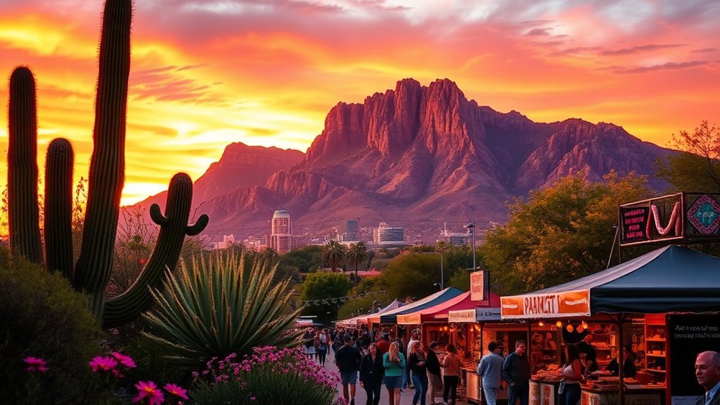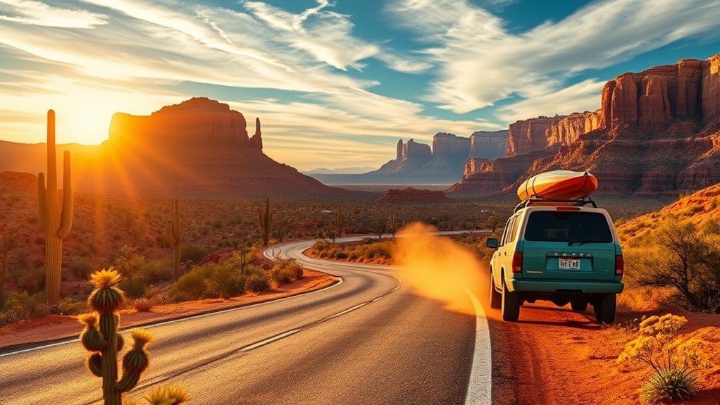
Embarking on a 7-day Arizona road trip takes you through sunbaked Sonoran desert mesas, towering red-rock spires, the sheer depths of the Grand Canyon, and the timeless sandstone monuments of the Navajo Nation. Spanning approximately 950 to 1,050 miles starting and ending in Phoenix, this loop connects Arizona’s most iconic landscapes with historic Route 66 towns and hidden high-desert hikes.
Quick Answer
The ultimate 7-day Arizona road trip follows an efficient northern loop starting in Phoenix: Day 1 drives north to Sedona; Day 2 explores Oak Creek Canyon and sleeps in Flagstaff; Day 3 covers the Grand Canyon South Rim; Day 4 visits Horseshoe Bend and Antelope Canyon in Page; Day 5 tours Monument Valley; Day 6 explores Petrified Forest National Park; and Day 7 returns to Phoenix via historic Route 66 and Winslow.
Key Takeaways
- Total Distance & Pacing: Expect ~1,000 miles of driving across 7 days, averaging 2 to 3.5 hours behind the wheel each day.
- Advance Bookings Required: Antelope Canyon requires guided tour reservations months in advance; South Rim lodging and popular campsites book out 6 months ahead.
- Passes & Fees: Buy an America the Beautiful Interagency Pass ($80) to cover Grand Canyon and Petrified Forest; bring cash/card for separate Navajo Tribal Park and City of Page fees.
- Time Zone Awareness: The Navajo Nation observes Mountain Daylight Time (MDT) from March to November, while the rest of Arizona stays on Mountain Standard Time (MST).
- Best Seasons: Spring (March–May) and Autumn (September–November) offer the best combination of mild hiking temperatures and clear road conditions.
At a Glance
| Time Required | 7 Days / 6 Nights |
| Total Driving Distance | Approx. 950–1,050 miles (round-trip from Phoenix) |
| Recommended Vehicle | Standard Sedan, Crossover, or SUV (Paved roads throughout; high clearance optional for unpaved scenic loops) |
| Estimated Park & Entry Costs | $180–$250 per person (includes National Parks Pass, Antelope Canyon guided tour, and Tribal entry fees) |
Planning Your Route and Timing
Executing an unforgettable Arizona road trip depends on smart pacing. Distances across the American Southwest are deceivingly vast, and summer temperatures regularly climb past 100°F (38°C) in lower desert elevations. By traveling this loop in a counter-clockwise direction—heading north from Phoenix through Sedona to the Colorado Plateau and looping back south via the eastern high plains—you steadily gain elevation and escape early heat while preserving your energy for strenuous canyon rim hikes.
To avoid spending your entire vacation behind the windshield, schedule your driving segments during midday hours when the overhead sun washes out landscape photography. Prioritize early morning trailheads and late afternoon golden hours at major scenic overlooks.
Pro Tip: If your road trip falls between March and October, download offline maps via Google Maps or maps.me before departing Phoenix. Cellular coverage drops significantly between Cameron, Page, Monument Valley, and Holbrook.
Day 1: Phoenix to Sedona — Red Rocks and Vortex Views
Depart Phoenix early in the morning along Interstate 17 North before connecting to State Route 179 along the Red Rock Scenic Byway. The 115-mile drive takes approximately two hours, climbing from the saguaro-studded Sonoran desert into the dramatic sandstone formations of the Verde Valley.
Upon arriving in Sedona, park access is managed strictly to preserve delicate trailheads. Make your first stop at the Visitor Center to secure a Red Rock Pass ($5 daily / $15 weekly) or display an Interagency National Park pass on your rearview mirror. Begin your outdoor exploration with one of Sedona’s premier hikes:
- Cathedral Rock Trail: A steep 1.2-mile round-trip scramble climbing 600 vertical feet to a dramatic rock saddle and well-known vortex location. (Note: On peak Thursday–Sunday periods, use the free Sedona Shuttle from city park-and-ride lots, as trailhead parking is closed to private vehicles).
- Bell Rock Pathway: A gentle, family-friendly 3.5-mile loop providing expansive views of Courthouse Butte and Bell Rock.
- Airport Mesa Vortex: A short scenic overlook offering a 360-degree panoramic vista across the entire red rock basin, ideal for sunset photography.
Conclude your evening exploring Uptown Sedona or the artisan corridors of Tlaquepaque Arts & Shopping Village, followed by early dinner in town to rest for an early morning canyon drive.
Day 2: Sedona to Flagstaff — Oak Creek Canyon and Historic Downtown
Following State Route 89A north from Sedona, you will climb through Oak Creek Canyon along one of the most scenic drives in the American Southwest. The road twists through a narrow, 16-mile gorge lined with towering basalt cliffs, emerald ponderosa pines, and cascading streams, climbing over 4,500 feet from Sedona to Flagstaff’s high mountain plateau.
Drive Oak Creek Canyon north from Sedona along Route 89A: stop for a morning hike along West Fork, take in the switchback overlook, and spend your evening in historic Flagstaff at 7,000 feet elevation.
Recommended stops along Route 89A include:
- West Fork of Oak Creek Trail: An easy, shaded 6.5-mile round-trip hike requiring multiple shallow creek crossings between sheer 200-foot canyon walls.
- Slide Rock State Park: A natural 80-foot water slide carved into the red creek bed, surrounded by historic apple orchards (nominal state park day-use fee applies).
- Oak Creek Vista: Located at the canyon’s northern rim, this pullout offers viewing platforms overlooking the switchbacks below alongside authentic Navajo artisan craft stands.
Arrive in Flagstaff (elevation 6,910 feet) by mid-afternoon. Spend the evening walking the brick-lined sidewalks of Historic Downtown and Railroad Square along historic Route 66. If you have time before nightfall, book a stargazing visit to Lowell Observatory, where the planet Pluto was discovered in 1930.
Day 3: Flagstaff to Grand Canyon South Rim — Sunrise and Rim Hikes
Depart Flagstaff 90 minutes before first light, driving north along US-180 to Highway 64 toward the Grand Canyon South Rim (80 miles / ~1.5 hours). Entering the national park before dawn ensures you avoid entrance station vehicle queues and reach prime sunrise vantage points.
Sunrise at Mather Point
Position yourself on the railed overlook of Mather Point or walk five minutes west along the paved Rim Trail toward Yavapai Point to escape the main crowds. As first light strikes the South Rim, shadows peel away to reveal the textured temples, buttes, and the Colorado River thousands of feet below.
- Arrival: Arrive 30 minutes before official sunrise to secure an unobstructed tripod spot.
- Layers: Morning temperatures at 7,000 feet remain brisk year-round; pack an insulated outer shell and gloves, even during summer months.
- Wildlife Safety: Watch for elk and California condors along the rim, maintaining a minimum distance of 100 feet from all wildlife.
Bright Angel Trail Hike
After sunrise, head to Grand Canyon Village to begin your descent below the rim along the legendary Bright Angel Trail. This well-maintained dirt path follows natural fault lines, providing framed rock portals and shaded resthouses along sheer vertical cliffs.
Warning: Never attempt to hike from the South Rim to the Colorado River and back in a single day. Summer inner-canyon heat regularly exceeds 110°F (43°C). Turn around at 1.5-Mile Resthouse (3 miles round-trip) or 3-Mile Resthouse (6 miles round-trip), and carry at least 2 to 3 liters of water per person.
Desert View Drive Stops
In the afternoon, proceed east along the 25-mile Desert View Drive (Highway 64). This scenic highway exits the national park toward Cameron, presenting several distinct canyon overlooks:
- Grandview Point: A high, rugged promontory displaying dense historic mining trails and sprawling panoramas.
- Lipan Point: One of the best locations for viewing the sweeping curve of the Colorado River cutting through the Grand Canyon Supergroup strata.
- Desert View Watchtower: A 70-foot stone tower designed by architect Mary Colter in 1932, showcasing intricate ancestral Puebloan murals and sweeping views toward the Painted Desert.
Day 4: Grand Canyon to Page — Horseshoe Bend and Antelope Canyon
From the East Entrance of the Grand Canyon, follow US-89 North across the Echo Cliffs to the town of Page (115 miles / ~2.5 hours). Page serves as the hub for two of northern Arizona’s most photographed landmarks: Horseshoe Bend and the slot labyrinths of Antelope Canyon.
Your first stop is Horseshoe Bend, located just off US-89 south of Page. A 1.5-mile round-trip accessible path leads to the 1,000-foot rim where the emerald Colorado River carves a 270-degree incised meander through Navajo sandstone. Note that the City of Page charges a $10 passenger vehicle parking fee (National Park passes do not apply here).
Next, head to Antelope Canyon on Navajo tribal land. Because slot canyons present severe flash flood hazards and fragile sandstone formations, visitors are legally required to enter with an authorized Navajo guide.
Note: Choose between Upper Antelope Canyon (famous for direct midday sunbeams from May through September, level walking surface) and Lower Antelope Canyon (narrower, entered via metal staircases, visually dynamic ladders and sculpted waves). Advance reservations via official tour operators at Navajo Nation Parks are mandatory 2 to 4 months ahead.
Day 5: Page to Monument Valley — Scenic Drives and Navajo Culture
Leave Page and travel east along US-98 and US-160 across the heart of the Navajo Nation to Highway 163 (125 miles / ~2 hours). As you approach the Utah–Arizona border, sandstone monoliths rise 1,000 feet above the desert floor at Monument Valley Navajo Tribal Park.
Before turning into the tribal park entrance, pause at Mile Marker 13 on US-163 (the famous “Forrest Gump Point”) for an iconic view looking southwest along the straight desert highway toward the valley’s sandstone towers.
Pro Tip (Time Zone Shift): During Daylight Saving Time (mid-March to early November), the Navajo Nation sets clocks forward 1 hour to MDT, while Page and the rest of Arizona remain on MST. Verify your tour departure time carefully so you do not arrive an hour late.
Inside the park (entry fee: $8 per person / $20 per vehicle), explore your options:
- 17-Mile Valley Drive: A self-guided, unpaved scenic dirt loop wrapping around the East and West Mitten Buttes, Merrick Butte, and John Ford’s Point. (A high-clearance vehicle is recommended).
- Navajo-Guided Backcountry Tours: Local operators take visitors beyond public boundaries into restricted areas like Mystery Valley, Ear of the Wind, and Hunts Mesa to explore ancestral petroglyphs and traditional Hogan architecture.
- Wildcat Trail: The only self-guided hiking trail in the park (a 3.2-mile loop encircling the West Mitten Butte).
Day 6: Monument Valley to Petrified Forest National Park — Painted Desert and Fossil Forests
Turn south from Monument Valley along US-191 and Interstate 40 to Petrified Forest National Park (180 miles / ~3 hours). Petrified Forest is the only national park unit containing a preserved section of historic Route 66, bridging 225-million-year-old Late Triassic fossils with vibrant 20th-century road-tripping history.
Painted Desert Vistas
Enter the park from the north entrance along I-40. The road immediately skirts the rim of the Painted Desert, where layers of iron, manganese, and bentonite clay form striking bands of lavender, rose, and rust badlands. Stop at Tiponi Point, Kachina Point (home to the historic Painted Desert Inn), and Chinde Point for unobstructed vistas stretching to the San Francisco Peaks.
Petrified Wood Trails
Crossing the park’s central bridge over the Puerco River and I-40 takes you into the southern segment, where massive concentrations of fallen, crystallized araucarioxylon trees lie scattered across badland hills. Explore these key trails:
| Trail Name | Distance | Difficulty | Key Features |
|---|---|---|---|
| Blue Mesa Trail | 1.0 mile loop | Moderate (paved descent/ascent) | Winds between blue, gray, and purple-banded clay badlands with perched fossil logs. |
| Crystal Forest | 0.75 mile loop | Easy (paved flat loop) | Highest concentration of intact, colorful amethyst and quartz petrified log segments. |
| Giant Logs Trail | 0.4 mile loop | Easy | Located behind Rainbow Forest Museum; features “Old Faithful,” a massive 10-foot-wide base log. |
| Agate House Trail | 2.0 miles round-trip | Easy to Moderate | Leads to an eight-room ancestral Puebloan home built entirely from petrified wood blocks. |
Route & Timing Tips
Unlike open national parks, Petrified Forest National Park maintains daytime operational gate hours (typically closing between 5:00 PM and 6:00 PM depending on the season). Plan to enter no later than 2:00 PM to complete the 28-mile end-to-end scenic drive, hike Blue Mesa, and exit before the southern gates close at Highway 180.
Day 7: Route 66 Return: Holbrook, Winslow, and Historic Stops
On your final day, take Interstate 40 West along the classic corridor of Historic Route 66, exploring storied railroad and roadside towns before driving south along Highway 87 back to Phoenix (215 miles / ~3.5 hours total driving time).
Key historical stops along this route include:
- Holbrook: Drive past the iconic 1950s Wigwam Village Motel #6, where concrete teepees and vintage cruisers preserve the golden era of mid-century road travel.
- Winslow: Stand on the corner at Standin’ on the Corner Park, inspired by the Eagles’ 1972 hit song “Take It Easy,” and explore the restored 1930s Santa Fe Railway architectural gem, the La Posada Hotel.
- Meteor Crater Natural Landmark: Located just west of Winslow ($27 entry), this 3,900-foot-wide impact crater is the world’s best-preserved meteorite strike site.
- Payson & Mogollon Rim (Highway 87): Divert south onto AZ-87 (the Beeline Highway) to descend through the cool pine forests of Payson and the Tonto Basin back down into the Phoenix metro area.
Practical Tips: Permits, Packing, and Safety
A successful desert road trip requires strict adherence to seasonal safety rules and permit guidelines:
- Hydration Standards: Carry a minimum of one gallon (3.8 liters) of drinking water per person per day. Desert humidity rapidly accelerates dehydration without heavy sweating.
- Monsoon Safety (July–August): Summer afternoons bring sudden thunderstorms that cause severe flash floods in slot canyons, washes, and low-lying roadways. Never enter slot canyons or dry washes if rain is falling anywhere in the regional drainage basin.
- Park Regulations: Removing petrified wood or cultural artifacts from national parks or tribal lands is a federal crime punishable by heavy fines and confiscation. Purchase authentic certified specimens from private gift shops outside park boundaries.
Frequently Asked Questions
Are Any Parts of This Route Wheelchair Accessible?
Yes. The majority of major overlooks along Grand Canyon South Rim (including Mather Point and Yavapai Point via the paved Rim Trail) are fully ADA accessible. The Horseshoe Bend overlook trail is paved and graded for wheelchairs, and Petrified Forest National Park features accessible paved loops at Crystal Forest, Giant Logs, and the Painted Desert Inn overlook.
Can I Include Nearby Utah Parks Like Zion or Bryce?
While Zion and Bryce Canyon are within 2.5 to 3 hours driving distance from Page, adding them comfortably requires a 10-day itinerary. Attempting to fit them into a 7-day loop creates rushed 6-hour daily driving legs and significantly reduces time at the Grand Canyon and Sedona.
Are Dogs Allowed on Trails and in National Park Facilities?
Rules vary by agency. Pets are permitted on all paved above-rim trails at the Grand Canyon South Rim and are welcome on all paved trails throughout Petrified Forest National Park (on a 6-foot leash). However, dogs are strictly prohibited below the Grand Canyon rim, inside Antelope Canyon, and on guided Monument Valley tribal tour routes.
What’s the Best Time of Year for Fewer Crowds?
Late autumn (late October through November) and early spring (late February through March) offer the lowest crowd levels and crisp daytime temperatures. Summer (June through August) sees peak international crowds and extreme desert heat, while winter brings periodic snow closures across Flagstaff and the South Rim.
Are There Gas Stations and Cell Service Along Remote Stretches?
Gas stations are readily available in primary hub towns (Phoenix, Sedona, Flagstaff, Cameron, Page, Kayenta, and Holbrook). However, stretches between Cameron and Page on US-89 and between Kayenta and I-40 on US-191 have long gaps without services. Refuel whenever your tank drops below one-quarter full, and download offline navigation maps in advance.
Conclusion
Completing this 7-day Arizona road trip gives you a comprehensive experience of the American Southwest’s diverse topography—transitioning from Sonoran desert saguaros to the red-rock monoliths of Sedona, the vast chasms of the Grand Canyon, the sculpted chambers of Antelope Canyon, and the silent badlands of the Petrified Forest. By managing your daily drive times, respecting desert weather and tribal land guidelines, and securing reservations ahead of time, this classic road trip route delivers an efficient and unforgettable adventure across the Grand Canyon State.
Sources
- National Park Service: Grand Canyon National Park — Official trail safety, shuttle route schedules, and South Rim regulations.
- National Park Service: Petrified Forest National Park — Trail guides, gate operating hours, and fossil protection laws.
- Navajo Nation Parks & Recreation — Entry permits, tour guidelines, and tribal park access rules for Antelope Canyon and Monument Valley.
- U.S. Forest Service: Coconino National Forest — Red Rock Pass guidelines and Sedona trail access protocols.