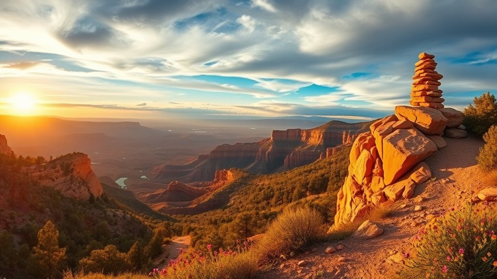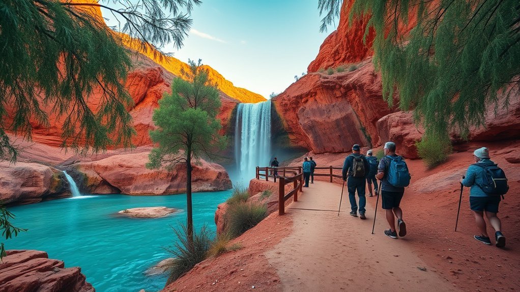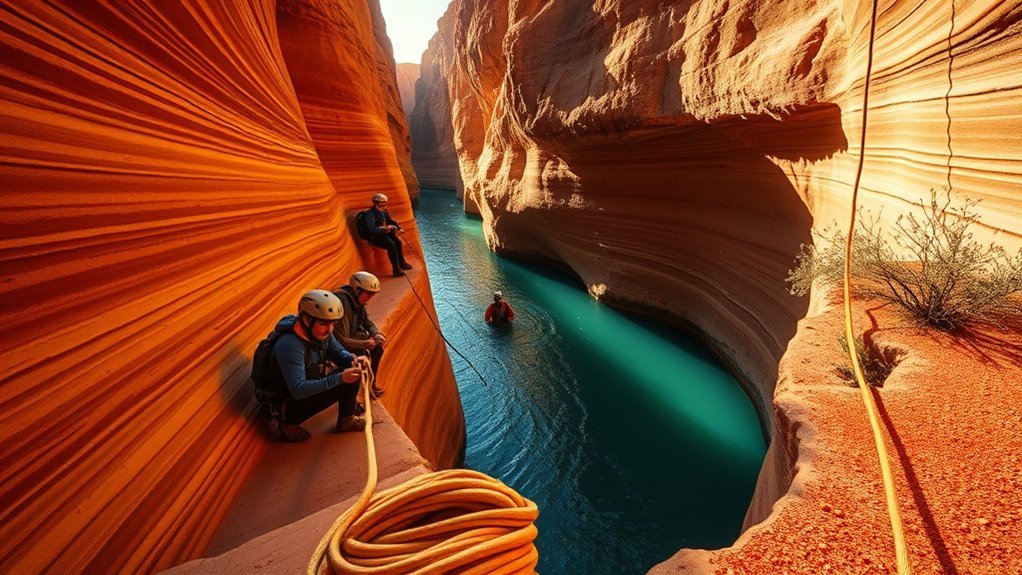
Technical canyoneering in Arizona is a world-class outdoor pursuit that combines wilderness route-finding, multi-pitch rappelling, cold-water swimming, and desert survival skills. From the polished basalt chutes of the Mogollon Rim to the towering red sandstone narrows of Sedona and the Arizona Strip, descending these desert slot canyons demands meticulous planning, specialized static rope systems, and an acute awareness of flash flood hazards.
Quick Answer
Arizona canyoneering requires specialized technical skills, static ropes, and rigorous flash flood assessment. Premier regions include the Mogollon Rim (Salome Jug, Christopher Creek), Sedona sandstone slots, and the Vermilion Cliffs. Safe descents require understanding American Canyoneering Association (ACA) ratings, securing land permits, wearing thermal protection for cold water pools, and employing leave-no-trace anchor techniques.
Key Takeaways
- Understand ACA Ratings: Always assess technical difficulty (1–4), water volume (A–C), and time commitment (I–VI) before committing to a descent.
- Check Weather First: Flash floods are fatal; never enter a slot canyon if storms are forecast anywhere in the upstream drainage basin.
- Use Static Gear: Dynamic climbing ropes stretch dangerously over sharp sandstone edges; use low-stretch static canyoneering ropes (8.0 mm–9.5 mm) and dedicated canyon descenders.
- Prepare for Cold Water: Desert slot canyons trap cold water year-round; 3 mm to 5 mm neoprene wetsuits are essential to prevent hypothermia, even in 100°F (38°C) summer heat.
- Secure Proper Permits: Verify jurisdiction across the U.S. Forest Service, Bureau of Land Management, and Navajo Nation Parks and Recreation prior to entry.
Best Canyoneering Areas and Signature Routes in Arizona
Arizona offers a diverse geological spectrum for canyoneers, ranging from aquatic granite gorges in the central mountains to deep Navajo sandstone slots on the Colorado Plateau. Routes are standardized using the American Canyoneering Association (ACA) rating system, which indicates terrain technicality, water levels, trip duration, and hazard levels.
| Region | Signature Canyon | ACA Rating | Key Technical Highlights |
|---|---|---|---|
| Mogollon Rim / Sierra Ancha | The Jug (Salome Creek) | 3C I / II | Aquatic gorge, mandatory swims, natural water slides, optional 25-foot rappel/jump. |
| Mogollon Rim | Christopher Creek Canyon | 3C II | Cold water swims, multiple short rappels up to 30 feet, boulder scrambling. |
| Sedona Red Rock Country | Mormon Canyon | 3A III | Dry sandstone descent, up to 7 rappels (max 200+ feet), exposed slickrock approaches. |
| Sedona Red Rock Country | Bear Canyon Slots | 3A II / III | Multi-stage rappels, tight squeezes, precise anchor building on natural features. |
| Vermilion Cliffs / Strip | Buckskin Gulch / Wire Pass | 2A III / IV | World’s longest continuous slot canyon, non-technical to semi-technical obstacle downclimbing, deep mud/water wading. |
Seasonal Considerations and Weather Hazards
The desert climate presents extreme micro-environmental hazards. A sunny day at a canyon trailhead does not guarantee safe conditions inside a drainage system that collects water from hundreds of square miles upstream.
Warning: The North American Monsoon season (late June through September) produces severe, localized convective thunderstorms. Slot canyons act as natural funnels; flash floods can crest in minutes with zero warning at your immediate location. Never enter a slot canyon if precipitation is forecast anywhere within the watershed.
Plan your outings by matching seasonal conditions to canyon characteristics:
- Spring (March to May): Optimal for dry Sedona and desert plateau routes. Air temperatures are moderate, but snowmelt can make aquatic canyons dangerously cold and high-flowing.
- Summer (June to August): Ideal exclusively for wet, aquatic routes like Salome Jug or West Clear Creek to escape surface heat. Avoid dry, exposed sandstone approaches in Southern and Northern Arizona, where surface temperatures regularly exceed 105°F (40°C).
- Autumn (September to November): Generally the prime season across Arizona. Stable weather patterns, dissipated monsoon cycles, and moderate ambient temperatures make long technical descents safer.
- Winter (December to February): Expect freezing water temperatures, ice buildup on anchor points, and limited daylight hours. Wet canyons become severe hypothermia hazards requiring 5 mm to 7 mm wetsuits or drysuits.
Permits, Access Rules, and Land Management Agencies
Arizona canyons cross multiple jurisdictions, each with specific conservation mandates, permitting portals, and closure rules. Navigating these requirements in advance is essential to protect wilderness areas and avoid federal or tribal trespass citations.
Permit Requirements Overview
Permit regulations depend heavily on the managing entity. While many U.S. Forest Service routes allow open day-use access, designated wilderness zones and tribal properties require advance registration:
- Bureau of Land Management (BLM): Day-use and overnight permits for high-traffic corridors like the Paria Canyon-Vermilion Cliffs Wilderness (including Buckskin Gulch) are managed via Recreation.gov.
- Navajo Nation Parks and Recreation: Entering slots located on tribal land (such as Waterholes Canyon, Antelope Canyon drainage, or Mystery Valley) requires a Navajo Nation backcountry permit or an authorized Navajo guide.
- Arizona State Land Department: Crossing state trust land to reach specific canyon access points requires an annual recreational recreation permit purchased online.
Pro Tip: In Sedona’s Red Rock Ranger District, parking at trailheads for routes such as Bear Mountain, Fay Canyon, or West Fork requires a Red Rock Pass or an Interagency America the Beautiful Pass displayed on your vehicle dashboard.
Access Restrictions & Closures
Land agencies enforce targeted seasonal closures to protect sensitive wildlife and cultural sites:
- Raptor Nesting Closures: Key cliff faces and sandstone canyon walls in Coconino and Tonto National Forests often close to climbing and canyoneering between February and July to protect nesting Peregrine falcons and Mexican spotted owls.
- Wildfire Closures: During extreme dry spells in May and June, Forest Service managers may institute Stage 2 or Stage 3 fire restrictions, fully closing entire forest zones to recreational access.
- Archaeological Sites: Ancient cliff dwellings, petroglyphs, and rock art found in Arizona slots are strictly protected under the Archaeological Resources Protection Act (ARPA). Never touch rock art, disturb masonry, or install climbing bolts near cultural artifacts.
Land Agency Contacts
Always verify active canyon conditions, fire restrictions, and road washouts directly with local agency offices:
- National Park Service (NPS): Oversees Glen Canyon National Recreation Area, Grand Canyon National Park, and Lake Mead National Recreation Area.
- U.S. Forest Service (USFS): Coconino National Forest (Sedona/Flagstaff), Tonto National Forest (Mogollon Rim/Roosevelt), and Prescott National Forest.
- Bureau of Land Management (BLM) Arizona: Arizona Strip District, Vermilion Cliffs National Monument, and Havasu Field Office.
- Navajo Nation Parks & Recreation Department: Handles tribal permits and authorized guide operations across tribal park lands.
Essential Gear and Technical Skills for Desert Canyons
Desert canyoneering presents abrasive sandstone, sharp volcanic basalt, grit-filled water, and zero-margin anchor placements. Standard rock climbing gear is insufficient; technical canyoneering requires gear tailored specifically for durability and aquatic management.
| Equipment | Specific Spec / Requirement | Functional Purpose in Desert Slots |
|---|---|---|
| Canyoneering Rope | 8.0 mm–9.5 mm low-stretch static polyester/nylon sheath | Minimizes rope bounce over sharp sandstone edges and prevents sheath abrasion. |
| Canyon Descender | Petzl Pirana, Sterling ATS, or Critr | Allows rapid friction adjustments mid-rappel to compensate for wet, sandy, or differing rope diameters. |
| Canyon Harness | Harness with replaceable protective PVC seat (scute) | Protects tie-in loops and structural webbing during tight chimney slides and scuffs. |
| Footwear | High-friction sticky rubber with drainage ports | Maintains traction on wet, algae-covered rock and ejects gravel during canyon exits. |
| Thermal Protection | 3 mm to 5 mm neoprene wetsuit + neoprene socks | Prevents hypothermia in deep, sun-deprived keeper potholes and long swimming slots. |
| Rigging / Bail Kit | 50 ft 1-inch tubular webbing, rapid links (quick links), safety knife | Replaces worn anchor webbing and allows emergency bail rigging from natural anchors. |
Essential technical skills every team member must master include:
- Single Rope Technique (SRT) & Contingency Rigging: Rigging releasable figure-8 or contingency blocks (e.g., MMO: Munter-Mule-Overhand) allows top-rope belayers to lower a stuck or incapacitated rappeller instantly.
- Retrievable Anchor Systems: Using toggles (such as the Fiddlestick or Smooth Operator) to retrieve ropes without leaving fixed webbing on wilderness boulders.
- Pothole Escape Techniques: Ascending techniques, partner assists, counter-balance moves, and throwing weighted pot-shots to escape scoured sand traps and keeper potholes.
Safety Practices, Emergency Planning, and Leave No Trace
Self-rescue is the fundamental operational standard in canyon country. Slot canyons present steep vertical terrain with zero cellular reception, making rapid external rescue impossible.
Note: Satellite messengers (Garmin inReach, ZOLEO) require an unobstructed line-of-sight to orbiting satellites. Inside deep, narrow slot canyons with sheer 200-foot walls, satellite tracking and SOS transmissions will fail until you exit to open washes or wide canyon sections.
Implement comprehensive safety protocols for every descent:
- File a Mandatory Trip Plan: Leave precise route coordinates, primary canyon names, vehicle license plates, and a hard turnaround time with a designated home contact.
- Anchor Redundancy: Inspect all existing webbing and quick links for UV degradation, stiffening, and rodent chew marks before loading. Always replace dubious anchor material.
- Biological Soil Crust Protection: Desert approaches cross fragile biocrusts (cryptobiotic soil) that take decades to form. Walk strictly in established washes, on bare rock, or along single-track trails.
- Waste Management: In narrow canyons, natural breakdown cannot occur. Pack out all human solid waste using commercially available sealed sanitary waste bags (WAG bags).
Guided Trip Options, Local Outfitters, and Training Resources
For individuals stepping up from scrambling to technical rope descents, certified instruction provides the safest pathway to independence. Guided trips and instructional clinics accelerate technical competency in anchor evaluation, rappelling mechanics, and rope management.
- Sedona and Central Arizona Guide Services: Permitted outfitters operating out of Sedona, Phoenix, and Flagstaff offer customized single-day technical intro courses and guided runs through classic Mogollon Rim and Red Rock routes.
- Accredited Training Programs: Look for courses led by instructors certified by the American Canyoneering Association (ACA) or the American Mountain Guides Association (AMGA). Standard curriculums cover Canyon Leader I/II, self-rescue, and advanced rigging.
- Community Practice: Regional canyoneering rendezvous, meetups, and local canyon clubs offer low-consequence environments to practice anchor rigging, ascending rope, and hauling systems before tackling remote wilderness descents.
Frequently Asked Questions
Can I canyon alone without a partner or guide?
Solo canyoneering is strongly discouraged. A minor mistake—such as a jammed rope, foot entrapment in a narrow constriction, or a keeper pothole—can become fatal without partner assists. If descending solo, you must carry ascending gear, secondary pull cords, duplicate satellite devices, and master advanced self-rescue rigging.
Are pets allowed in desert canyons?
Pets are prohibited in almost all technical slot canyons. Steep rappels, vertical drops, cold water swims, and jagged slickrock present severe hazards to domestic animals. Non-technical hiking slots in national parks or tribal lands also strictly prohibit pets, though select BLM corridors (like Wire Pass/Buckskin Gulch) allow leashed dogs.
What clothing is best for flash-flood prone slot canyons?
Wear quick-drying synthetic apparel, high-abrasion nylon pants, and a 3 mm to 5 mm neoprene wetsuit for wet routes. Avoid cotton entirely, as it retains water, chills the body, and accelerates hypothermia. Pair your clothing with sticky rubber footwear and neoprene socks for insulation and friction on wet sandstone.
Can I combine canyoneering with rock climbing or bouldering?
Yes. Many Arizona canyons feature mixed terrain requiring chimneying, stemming, and boulder problem solving alongside rope work. However, remember that canyoneering travels downward using static ropes; dynamic climbing ropes should never be used as primary canyon rappel lines due to excessive abrasion and stretch.
Are drones permitted for filming in canyons?
Drone use is heavily restricted. Uncrewed Aircraft Systems (UAS) are strictly banned in all National Parks and Congressionally designated Wilderness Areas (such as Red Rock-Secret Mountain or Paria Canyon-Vermilion Cliffs). On standard BLM or Forest Service multi-use land, recreational drone flights must follow FAA Part 107 guidelines and avoid disturbing wildlife.
Conclusion
Arizona’s slot canyons and desert gorges present some of the most spectacular, technically challenging terrain in North America. Navigating these sandstone corridors safely requires respecting seasonal weather cycles, building robust technical rope skills, packing canyon-specific gear, and leaving zero physical trace. By combining disciplined route study with sound risk management, you ensure that these fragile desert canyon systems remain pristine, wild, and accessible for future generations of technical explorers.
Sources
- American Canyoneering Association (ACA) — Technical canyon rating standards, safety protocols, and certified instructional guidelines.
- National Park Service — Backcountry permit rules, canyon safety alerts, and environmental regulations across Arizona desert corridors.
- U.S. Forest Service — Wilderness area regulations, seasonal raptor nesting closures, and fire management alerts for Coconino and Tonto National Forests.
- Bureau of Land Management (BLM) Arizona — Paria Canyon-Vermilion Cliffs Wilderness permitting, road conditions, and recreation access.