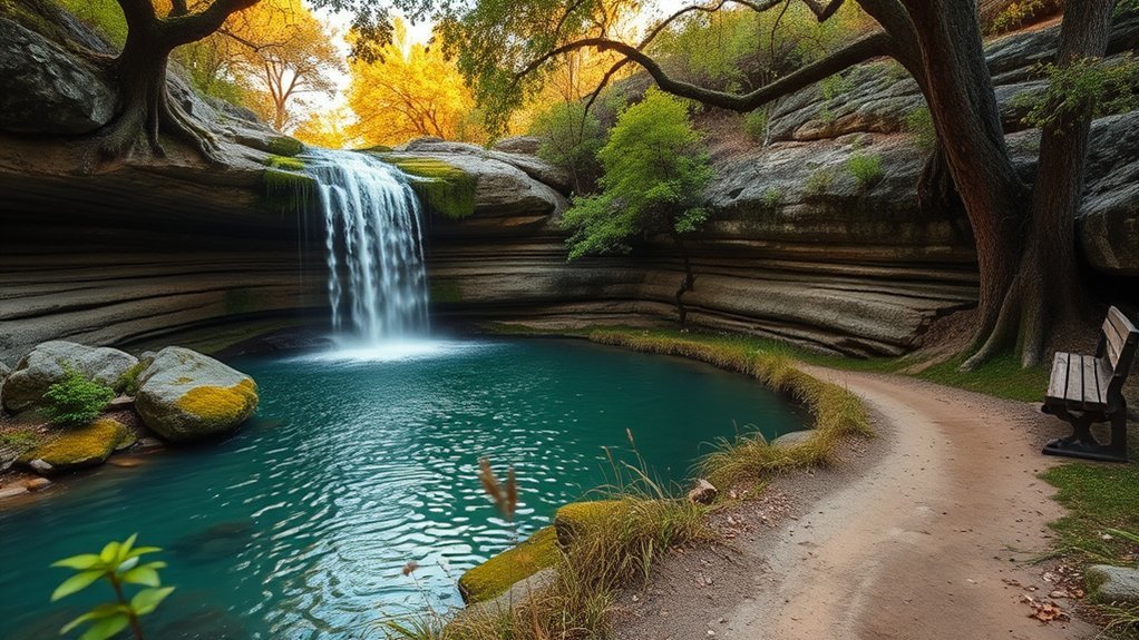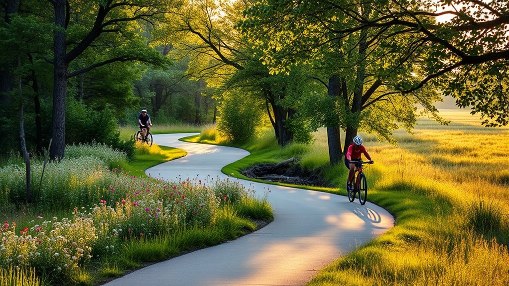
Broken Arrow has a smaller but useful network of paved and natural-surface cycling options, anchored by Liberty Trail and connections into the wider Tulsa regional trail system. Riders can also find shorter nature-focused rides and nearby Tulsa riverfront connections. In 2026, however, part of Liberty Trail is closed for major retaining-wall work, so checking current conditions is an important part of planning a ride.
Quick Answer
Broken Arrow’s main verified multi-use bike route is Liberty Trail, which INCOG lists at 9.4 miles. It connects toward other Tulsa-area trails, but a one-mile section between Aspen Avenue and Elm Place is closed in 2026 for retaining-wall replacement. Ray Harral Nature Park also permits bicycles on marked trails.
Key Takeaways
- Liberty Trail is 9.4 miles according to INCOG, not 66 km.
- A one-mile section of Liberty Trail is closed between Aspen Avenue and Elm Place while the City replaces a failing retaining wall.
- Ray Harral Nature Park has about 3 miles of trails with varying grades, and bicycles are allowed on marked trails.
- Creek Turnpike Trail is a 5.74-mile regional trail that connects with Liberty Trail and other Tulsa-area routes.
- Gathering Place is in Tulsa, not Broken Arrow, and bicycle riding within the park is limited to the Midland Valley and Riverside Trails.
- Spring and fall often provide more comfortable riding temperatures than midsummer, but always check current weather before leaving.
Discover Scenic Cycling Routes Around Broken Arrow
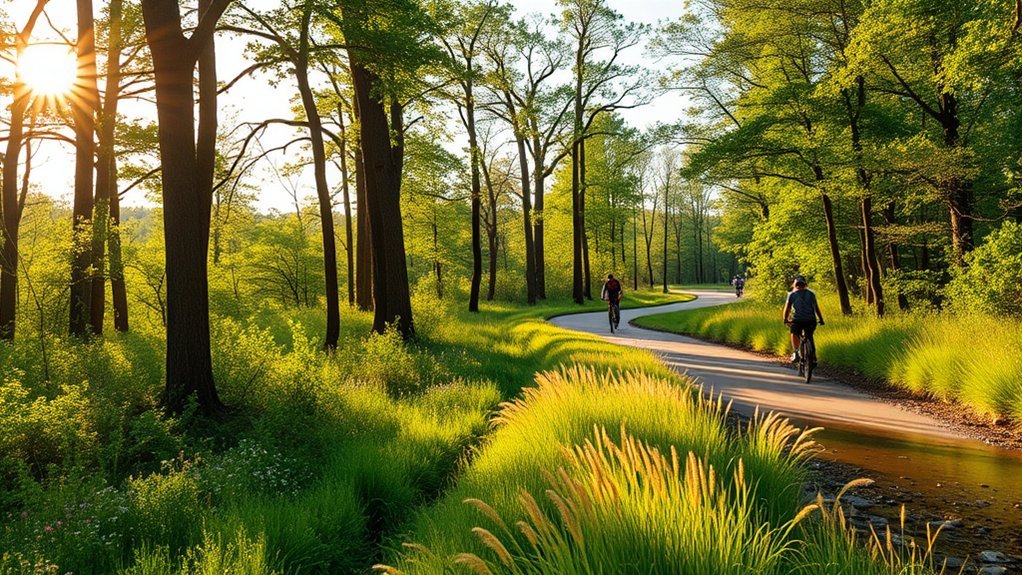
The best place to start when exploring bike trails in Broken Arrow is Liberty Trail. The Indian Nations Council of Governments (INCOG) lists the trail at 9.4 miles, with access from the Broken Arrow area and connections to the Mingo and Creek Turnpike trails. That makes it useful both for shorter local rides and longer regional outings.
Warning: A one-mile section of Liberty Trail between Aspen Avenue and Elm Place has been closed since June 2025 because of a failing retaining wall. In a July 29, 2026 update, the City of Broken Arrow said replacement construction was scheduled to begin in mid-August 2026 and take about four months. Do not move barricades or enter the closed section.
For riders who want to extend their trip beyond Broken Arrow, Liberty Trail connects into the larger Tulsa regional bicycle and pedestrian network. Instead of relying on app-generated loop names or unverified ride distances, use the official INCOG trail pages to build a route from verified trail segments.
INCOG lists Liberty Trail at 9.4 miles, making accurate trail maps far more useful than the unsupported 66 km figure previously associated with the route.
Must-Explore Touring Cycling Routes Around Broken Arrow
Broken Arrow works well as a starting point for regional rides because Liberty Trail connects with trails extending toward Tulsa. Riders seeking longer mileage can combine verified trail segments instead of assuming every named route forms a complete loop.
Scenic Regional Trail Connections
These are the most useful verified routes and connections to know when planning a longer ride from the Broken Arrow area:
| Route | Verified Distance | What to Know |
|---|---|---|
| Liberty Trail | 9.4 miles | Broken Arrow regional trail; one-mile section currently closed |
| Creek Turnpike Trail | 5.74 miles | Connects with Liberty, Mingo, and River Parks East trails |
| Gathering Place / Riverside connection | Varies by route | Tulsa-area extension; cycling inside Gathering Place is limited to Riverside and Midland Valley Trails |
The Creek Turnpike Trail is listed by INCOG at 5.74 miles and connects with River Parks East, Mingo Trail, and Liberty Trail. These connections can create much longer regional rides, but the final mileage depends on the exact segments and turnaround points you choose.
Note: Gathering Place is a Tulsa riverfront park, not a Broken Arrow trail. According to the park’s official visitor guidance, bicycles may be ridden only on the Midland Valley and Riverside Trails within the park. Bike racks are available for visitors who want to park a bicycle and explore other areas on foot.
Family-Friendly Cycling Experiences
Families do not need to commit to a long regional ride. Broken Arrow offers a few ways to keep mileage manageable while still getting outdoors.
- Ray Harral Nature Park: The 40-acre park has about 3 miles of trails with varying grades. The City of Broken Arrow states that bicycles are allowed on marked trails. Families should choose a segment appropriate for each rider’s ability.
- Open portions of Liberty Trail: A paved multi-use trail can work well for an out-and-back ride when you choose an open trailhead and turn around before anyone becomes tired.
- Events Park access: INCOG identifies Events Park in Broken Arrow as a Liberty Trail access area, making it a useful point for planning a shorter ride on an open section.
- Nearby Tulsa riverfront: More experienced families can travel into Tulsa and use regional trail connections, while remembering Gathering Place’s restrictions on where bicycles can be ridden.
Choose distance based on the least-experienced rider, carry enough water, and avoid planning a route that requires crossing the closed Liberty Trail segment.
Beginner Trails for New Cyclists
New cyclists usually benefit more from a short, predictable ride than from chasing a long mileage target. Broken Arrow’s verified options are not a huge collection of named beginner loops, so it is better to choose an appropriate portion of a documented trail than to rely on unrelated off-road route names.
Easy Access Trail Options
- Ray Harral Nature Park: About 3 miles of trails are available in the park, with bicycles permitted on marked trails. Because grades vary, beginners should stay on a comfortable marked section rather than assuming every trail is flat.
- Liberty Trail: Open portions of this paved multi-use route can work for beginners who want a straightforward out-and-back ride. Check the current closure before choosing your starting point.
- Events Park area: Events Park is an official Liberty Trail access point and can be useful for planning mileage without committing to the trail’s full length.
- Tulsa regional trails: Riders willing to travel beyond Broken Arrow can find additional paved multi-use options through INCOG’s regional network, including Creek Turnpike and riverfront connections.
The previously listed Gomer Pyle Loop, Interceptor, Bang Bang Alley, and Bunker Hill Loop should not be treated as Broken Arrow beginner bicycle trails. Those names are associated with the Gruber ORV Park area elsewhere in Oklahoma.
Scenic Routes For Beginners
For a new rider, scenery matters less than having a route that is easy to understand and easy to shorten. An open portion of Liberty Trail provides a paved option, while Ray Harral Nature Park provides a more natural setting on marked trails. Begin with a short out-and-back ride so you can turn around whenever needed rather than committing to an uncertain loop.
If you want Arkansas River scenery, consider a separate Tulsa outing using the Riverside Trail. Gathering Place can be part of that visit, but bicycles must remain on the Riverside or Midland Valley Trails when inside the park.
Pro Tip: Build your route from official trail segments and choose a turnaround point before you start. This makes distance easier to control and reduces the chance of discovering a closure or unsuitable connection halfway through the ride.
Safety Tips For Cyclists
Trail conditions can change after rain, construction, storms, or maintenance work. Before heading out:
- Respect all barriers and closure signs, especially on Liberty Trail.
- Slow down around pedestrians, children, blind corners, and narrow sections.
- Announce yourself before passing other trail users and leave enough space.
- Watch for wet leaves, mud, debris, uneven pavement, and other surface hazards.
- Do not confuse a trail beside a turnpike with permission to ride on the turnpike itself.
The Oklahoma Department of Transportation advises cyclists not to travel on controlled-access highways such as interstates and turnpikes. Creek Turnpike Trail is a separate trail facility; the turnpike roadway itself is not a bicycle route.
Essential Amenities and Access Points for Cyclists
Knowing where you can begin a ride is more useful than assuming every trail has the same amenities. INCOG identifies several Liberty Trail trailheads and parking areas, while Broken Arrow’s parks provide additional recreation access.
| Access Point | Useful Information |
|---|---|
| NSU Broken Arrow Campus | Listed by INCOG as a Liberty Trail trailhead/parking area |
| Valley Ridge Trailhead | Liberty Trail access near W. Miami Street and S. Delta Avenue |
| Tulsa Tech Center | Listed Liberty Trail trailhead/parking area |
| 101st Street east of Garnett | Listed Liberty Trail access/parking area |
| Events Park | Broken Arrow park and Liberty Trail access area |
| Ray Harral Nature Park | Nature Center and about 3 miles of trails; bicycles allowed on marked trails |
| Gathering Place, Tulsa | Bike racks available; riding limited to Midland Valley and Riverside Trails inside the park |
INCOG’s Tulsa Regional Trails and Information Guide is particularly useful when combining trails maintained by different cities and agencies.
Broken Arrow also has a micro-transit service operated through MetroLink, but do not assume a particular vehicle can carry your bicycle. If you plan a one-way cycling trip that depends on transit, check the current bicycle and vehicle policy before departure.
Best Times to Cycle in Broken Arrow
Spring and fall often provide more comfortable conditions for cycling around Broken Arrow than the hottest part of summer. Tulsa’s nearby climate station is a useful reference for the metro area. According to the National Weather Service Tulsa climatology, normal high temperatures reach about 93.6°F in July and 93.0°F in August.
- Spring: Generally comfortable temperatures, but thunderstorms and wet trails can interrupt ride plans.
- Summer: Early morning rides can reduce exposure to peak afternoon heat. Carry water and take heat seriously.
- Fall: Often a comfortable season for longer rides, with cooler conditions than midsummer.
- Winter: Riding is still possible on many days, but cold snaps, ice, wind, and occasional snow can change conditions quickly.
Check the day’s forecast rather than relying only on seasonal averages, especially before a long regional ride.
How Broken Arrow’s Cycling Network Has Grown
Broken Arrow’s cycling network has developed over time rather than appearing as one historical trail system. In its July 2026 Liberty Trail update, the City said the full Liberty route has been in place for more than 20 years.
The network is also continuing to expand. In 2023, the City of Broken Arrow announced plans for a 1.5-mile on-street bicycle route on Oak Avenue as part of a broader effort to improve north-south connectivity.
Broken Arrow Creek Trail Phase 2 is another part of that effort. The City approved project funding in late 2024, and in February 2026 it reported additional funding and a construction contract for the project. These improvements are intended to strengthen walking and bicycling connections as the local network develops.
This documented history is more useful for cyclists than unsupported claims about a 1983 trail system, a 1911 water source, or a specific suspension bridge that could not be verified as part of Broken Arrow’s cycling network.
Community Engagement Opportunities in Cycling
Broken Arrow’s trail system is part of a wider regional transportation effort. INCOG’s GO Plan and regional trail program are designed to connect communities, schools, business districts, employment centers, and existing trails across the Tulsa metropolitan area.
Local residents have also identified bicycle connectivity as an area needing attention. In January 2025, the City reported results from a connectivity survey that received 2,232 responses. Bicycle infrastructure and ease of bicycling received more “poor” or “don’t know” responses than several other mobility categories.
Cyclists who want to stay involved can follow City of Broken Arrow project updates, use INCOG’s regional maps, report trail maintenance problems to the responsible agency, and participate when the City requests public feedback on transportation and connectivity projects.
Broken Arrow has also previously partnered with This Machine for pedal-assist bike-share hubs in areas including the Rose District. Because bike-share stations and service areas can change, riders who need a rental should check the operator’s current app or service information rather than relying on an older station list.
Safety Tips for New Cyclists
A good route is only part of a safe ride. The National Highway Traffic Safety Administration recommends using a bicycle that fits properly and is in working condition, wearing a helmet, and improving visibility with bright or reflective equipment and appropriate lights.
- Wear a properly fitted helmet.
- Check your bicycle before riding. Test the brakes and inspect tires, wheels, chain, and gears.
- Use lights when visibility is poor. A white front light and red rear light or reflector make you easier to see.
- Ride predictably. On roadways, travel with traffic and obey signs and signals.
- Stay alert. Watch for vehicles, pedestrians, other cyclists, wildlife, potholes, gravel, and debris.
- Communicate when passing. Slow down, give space, and use a bell or clear verbal warning.
- Carry water. Longer rides and hot Oklahoma weather can increase fluid needs quickly.
- Have a turnaround plan. New riders should finish with energy in reserve instead of pushing to exhaustion.
ODOT notes that bicyclists have legal rights to use Oklahoma roads except where specifically prohibited and encourages riders to travel with the direction of traffic. Trails and marked bicycle facilities are often more comfortable choices for riders who are still gaining experience.
Frequently Asked Questions
What Is the Longest Paved Bike Trail in Broken Arrow?
Liberty Trail is Broken Arrow’s main documented regional multi-use trail, and INCOG lists it at 9.4 miles. The earlier claim that Liberty Trail is 66 km long is incorrect. Longer rides are possible by connecting Liberty with other trails in the Tulsa regional network.
How Hard Is the Broken Arrow Trail?
There is not one official trail simply called the “Broken Arrow Trail.” Liberty Trail is a paved multi-use route suitable for a range of riders, while Ray Harral Nature Park has marked trails with varying grades. Choose a distance and surface that match your fitness and bike.
What’s the Etiquette for Using Paved Bike Trails?
Stay to the right when practical, ride at a controlled speed, slow down around pedestrians, announce yourself before passing, obey posted signs, and do not block the trail when stopping. Respect closures and give extra room to children, pets, and less-experienced trail users.
How Long Is Liberty Trail in Broken Arrow?
INCOG lists Liberty Trail at 9.4 miles, or about 15.1 kilometers. The City of Broken Arrow has described the full trail as roughly 9.5 miles.
Is Liberty Trail Fully Open in 2026?
No. A one-mile section between Aspen Avenue and Elm Place has been closed since June 2025 because of a failing retaining wall. The City reported in July 2026 that replacement construction was scheduled to begin in mid-August and take about four months. Follow posted barriers and check the City’s current trail notice before riding.
Can You Ride a Bike Through Gathering Place?
Only on designated routes. Gathering Place states that bicycle riding is permitted on the Midland Valley and Riverside Trails. Riders should park at a bike rack before entering parts of the park where bicycle riding is not permitted.
Are Bicycles Allowed at Ray Harral Nature Park?
Yes. The City of Broken Arrow states that bicycles are allowed on marked trails at Ray Harral Nature Park. The park has about 3 miles of trails with varying grades, so riders should follow signs and choose terrain suitable for their ability.
Conclusion
Broken Arrow offers useful cycling opportunities without the exaggerated mileage and invented loops previously associated with the area. Start with verified options such as Liberty Trail and marked trails at Ray Harral Nature Park, then use the Tulsa regional network if you want a longer ride. Most importantly, account for the current Liberty Trail closure, follow posted signs, check weather and trail conditions, and choose a route that matches your experience level.
Sources
- City of Broken Arrow — Safety concerns on Liberty Trail — current closure, trail history, retaining-wall project, and construction schedule.
- INCOG — Liberty Trail — official trail length, trailheads, parking areas, and regional connections.
- INCOG — Creek Turnpike Trail — official length, amenities, and connecting trails.
- City of Broken Arrow — Ray Harral Nature Center & Park — trail mileage and bicycle rules.
- Gathering Place — Plan Your Visit — bicycle access rules and bike-rack information.
- National Highway Traffic Safety Administration — Bicycle Safety — helmet, visibility, bicycle-condition, and safe-riding guidance.