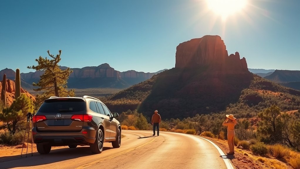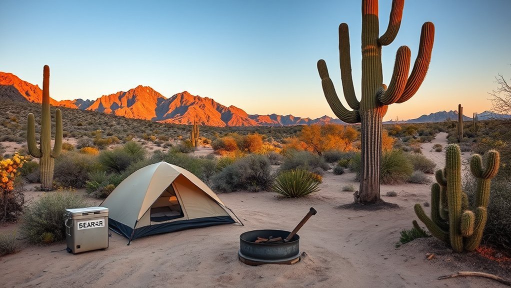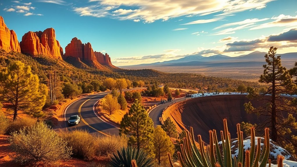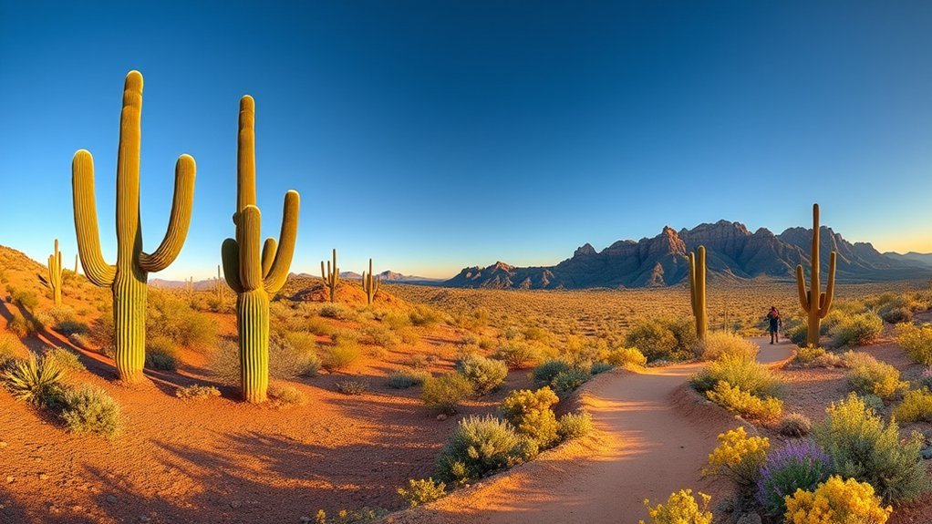
Planning hikes in Organ Pipe Cactus National Monument requires understanding the unique challenges of the Sonoran Desert, from rocky mountain ascents to sun-exposed valley washes. Whether you are looking for short family nature walks, historic mining paths, or strenuous climbs up Mount Ajo, this guide details distances, difficulty levels, seasonal timing, and desert safety essentials to help you choose the best routes confidently.
Quick Answer
The best hikes in Organ Pipe Cactus National Monument range from easy nature strolls like the Desert View Trail (1.2 miles) and Alamo Canyon Trail (1.8 miles) to scenic moderate treks like Bull Pasture (3.5–4.1 miles) and Victoria Mine (4.4 miles). Fit hikers seeking a strenuous challenge can summit Mount Ajo (8.5 miles, 2,634 feet of gain). The best hiking window is November through March.
Key Takeaways
- Prime Season: Visit between December and March when daytime temperatures average 65°F–75°F. Summer hiking is hazardous with temperatures frequently exceeding 105°F.
- Hydration Rule: Carry at least 1 gallon (4 liters) of water per person per day; carry 1.5 to 2 gallons for strenuous routes.
- Trail Varieties: The monument offers over 19 distinct routes, from flat historic wash walks to rugged ridge climbs with panoramic vistas.
- Pet Restrictions: Pets are only allowed on the paved Visitor Center trail and the Palo Verde Trail between the campground and visitor center; they are prohibited on all backcountry trails.
- Park Fees: Standard vehicle entry is $25 (valid for 7 days) or covered by the America the Beautiful Interagency Pass.
Top Trails to Hike in Organ Pipe Cactus National Monument
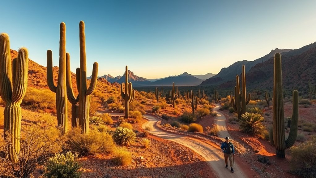
Organ Pipe Cactus National Monument protects a vibrant expanse of the Sonoran Desert along the southern Arizona border. The park features an extensive network of well-maintained trails catering to all fitness levels. Walkers can explore historic mining relics on the Victoria Mine Trail, while photographers and peak-baggers can climb into the Ajo Range via the Bull Pasture Trail and Mount Ajo Trail for sweeping views across the Valley of the Ajo.
For birdwatching and cultural history, short excursions through Alamo Canyon and the Desert View Trail showcase natural spring vegetation, Tohono O’odham cultural sites, and historic cattle ranching structures. The distinctive natural rock span on the Arch Canyon Trail offers a rewarding vantage point into the monument’s volcanic geology.
Trail Details and Difficulty Ratings
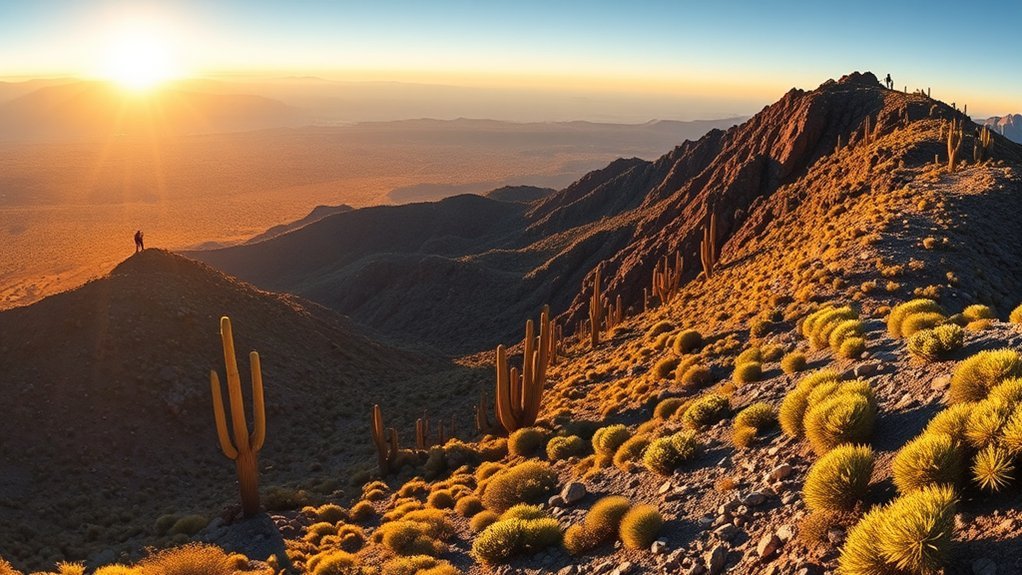
Matching trail difficulty and elevation profile to your fitness level is essential in an arid environment. Desert trails often involve loose gravel washes, sharp volcanic rock switchbacks, and total sun exposure. The table below summarizes the monument’s premier hiking routes.
| Trail Name | Distance (Round-Trip) | Elevation Gain | Difficulty | Key Feature |
|---|---|---|---|---|
| Desert View Trail | 1.2 miles (loop) | ~100 ft | Easy | Sunset views, interpretive signs |
| Alamo Canyon Trail | 1.8 miles | ~130 ft | Easy | Historic ranch homestead, birding |
| Arch Canyon Trail | 1.4 miles (to view) / 2.9 miles (ridge) | 200–1,000 ft | Moderate / Hard | Natural rock arch formation |
| Victoria Mine Trail | 4.4 miles | ~200 ft | Moderate | 1880s silver mine ruins |
| Bull Pasture / Estes Canyon | 4.1 miles (loop) | ~1,000 ft | Strenuous | Cliffside vistas, historic cattle hideout |
| Mount Ajo Peak | 8.5 miles | 2,634 ft | Very Strenuous | Park high point (4,808 ft summit) |
| Kino Pass / Bates Mtns | 10.6 miles | ~1,800 ft | Very Strenuous (Wilderness) | Remote backcountry isolation |
Trail Lengths & Times
Short interpretive walks like the 1.2-mile Desert View Loop require only 30 to 45 minutes and are ideal for early morning birding or catching the evening sunset. The Victoria Mine Trail (4.4 miles round-trip) takes approximately 2 to 2.5 hours at a steady pace across rolling desert terrain.
For mountain trails, allow extra time for footing on loose talus. The combined Estes Canyon to Bull Pasture Loop (4.1 miles) typically takes 3 to 4 hours due to steep switchbacks, while summiting Mount Ajo (8.5 miles) demands 6 to 8 hours of sustained physical effort.
Elevation & Difficulty
Organ Pipe trails fall into three distinct difficulty profiles:
- Easy: Minimal elevation gain (under 150 feet) along flat washes and dirt trails, suitable for most fitness levels (Desert View, Alamo Canyon).
- Moderate: Rolling desert terrain with moderate elevation changes of 200–500 feet over rougher footing (Victoria Mine, Arch Canyon main path).
- Strenuous to Difficult: Sustained elevation gains exceeding 1,000 to 2,600 feet on narrow, exposed cliffs with rock scrambles (Bull Pasture, Mount Ajo, Kino Pass).
Terrain & Accessibility
The monument maintains accessible infrastructure around the Kris Eggle Visitor Center and Twin Peaks Campground, including the paved Visitor Center Nature Trail. As you transition onto backcountry singletrack, paths become rocky, narrow, and unshaded. Check with rangers at the visitor center for current trail condition reports, flash flood wash crossings, and any seasonal wildlife closures.
Longest and Most Challenging Routes
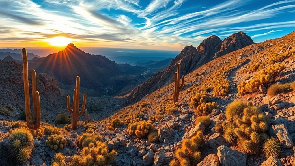
For experienced hikers equipped with GPS navigation, ample water, and strong endurance, the high peaks and remote mountain passes of Organ Pipe provide premier desert wilderness trekking.
Mount Ajo Ascent
Rising to 4,808 feet, Mount Ajo is the highest point in Organ Pipe Cactus National Monument. The standard route ascends via the Bull Pasture and Estes Canyon trail systems before continuing along the rugged crest of the Ajo Range.
- Distance: 8.5 miles round-trip
- Elevation Gain: 2,634 feet
- Trailhead: Estes Canyon Picnic Area along Ajo Mountain Drive
- Trail Conditions: Steep switchbacks, cliffside drop-offs, loose scree, and exposed scrambling near the ridge.
Hikers are rewarded with 360-degree views stretching east toward the Tohono O’odham Nation, south into Sonora, Mexico, and west across the monument’s expansive cactus forests. Start before sunrise to avoid ascending during peak heat hours.
Kino Pass & Bates Mountains Wilderness
Located in the western section of the park along North Puerto Blanco Drive, the Kino Pass route (10.6 miles) traverses the rugged Bates Mountains. Unlike the maintained paths in the Ajo Range, this is a primitive wilderness route requiring off-trail navigation skills.
- Distance: 10.6 miles out-and-back
- Elevation Gain: Approximately 1,800 feet
- Trailhead: Bates Well Road / North Puerto Blanco Drive junction
- Prerequisites: Topographic map, physical compass, offline GPS tracks, and high-clearance vehicle for trailhead access.
Ajo Mountain Exploration
The Ajo Mountain area can also be explored as an extended day outing by linking the 21-mile Ajo Mountain Drive with connector trails including Arch Canyon, Estes Canyon, and Bull Pasture. Hiking long road sections is best done during cooler winter months when breezes keep temperatures moderate.
Scenic Drives and Biking Options

Driving and cycling allow visitors to reach remote trailheads while experiencing sweeping Sonoran Desert panoramas:
- Ajo Mountain Drive (21 miles): A one-way, graded gravel loop winding through the base of the Ajo Mountains. Suitable for most standard passenger vehicles and popular for gravel cycling. It provides direct access to Arch Canyon and Estes Canyon trailheads.
- Puerto Blanco Drive (37–41 miles): A longer backcountry route exploring the monument’s western desert and historic watering holes like Quitobaquito Springs. The northern portion is accessible to standard cars, but high-clearance vehicles are strongly recommended for the full loop.
Pro Tip: Bicycles and e-bikes are allowed on all designated park roads (paved and unpaved) but are strictly prohibited on all wilderness hiking trails. Always carry spare tubes, sealant, and a tire pump to counter sharp cactus thorns on dirt roads.
Dripping Springs, Lost Cabin Mine, and Other Day Hikes
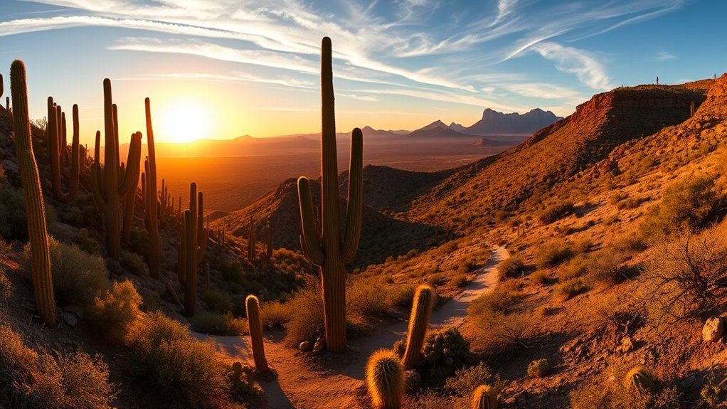
Beyond the mountain summits, the monument preserves a rich tapestry of early 20th-century prospecting and ranching history:
- Dripping Springs Trail: A gentle 1.0-mile walk from Puerto Blanco Drive to a semi-permanent desert spring nestled against the Puerto Blanco Mountains, offering prime wildlife observation.
- Lost Cabin Mine Trail: A remote 11.5-mile backcountry outing leading to historic prospector stone cabins and abandoned mine shafts beneath the backdrop of Twin Peaks.
- Victoria Mine Trail: A 4.4-mile round-trip hike starting from Twin Peaks Campground that leads to the oldest patented silver and gold mine in the region, complete with stone foundations and sealed mine shafts.
Warning: Historic mine shafts and adits are structurally unstable and contain deep vertical drops, toxic air, and venomous wildlife. Never enter abandoned mine openings or step on old wooden timbers.
Alamo Canyon: History and Hiking Highlights
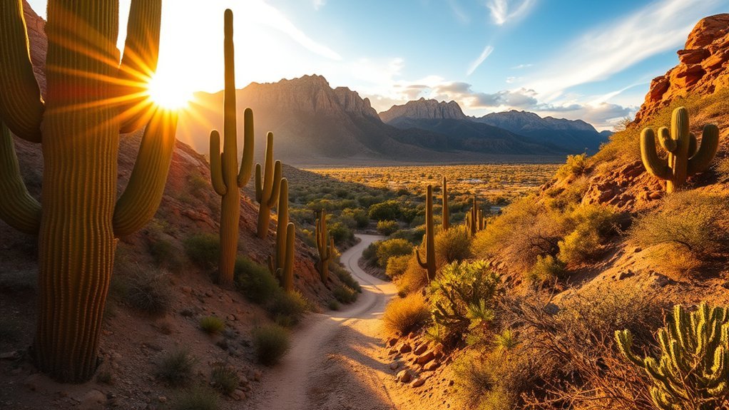
Alamo Canyon Trail is an easy 1.8-mile round-trip route that enters a lush riparian canyon fed by seasonal runoff from the Ajo Range. The canyon served as an essential watering station for native Tohono O’odham travelers and later supported cattle ranching operations managed by Birdie Miller in the early 1900s.
Hikers will encounter historic stone corrals, homestead foundations, and shaded oak, hackberry, and mesquite groves. The sheltered canyon microclimate makes Alamo Canyon one of the best locations in the monument for spotting Costa’s hummingbirds, Phainopeplas, and canyon wrens.
Safety Tips and Essential Packing List
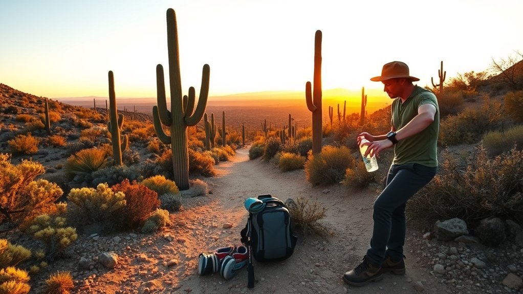
The Sonoran Desert is an unforgiving environment where preparation directly determines safety. Cell phone service is unreliable or nonexistent across most of the monument.
Pro Tip — Cactus Extraction Kit: Always carry a fine-toothed hair comb and a pair of pliers or tweezers in your daypack. If a jumping cholla segment lodges into your skin or footwear, slide the comb underneath the cactus ball to flick it away without touching the barbed spines with your fingers.
Essential Desert Packing Checklist
- Water: Minimum 1 gallon (4 liters) per person per day; add electrolyte replacement powder.
- Sun Protection: Wide-brim hat, UV-blocking sunglasses, UPF sun hoody, and broad-spectrum SPF 50+ sunscreen.
- Navigation: Downloaded offline maps (such as Gaia GPS or AllTrails) and a physical topographic park map with compass.
- Sturdy Footwear: Durable trail shoes or boots with thick soles to resist sharp rocks and cactus thorns.
- First Aid & Signaling: Tweezers, sterile bandages, emergency whistle, and a satellite messenger (Garmin inReach or similar device).
When to Visit and Seasonal Considerations
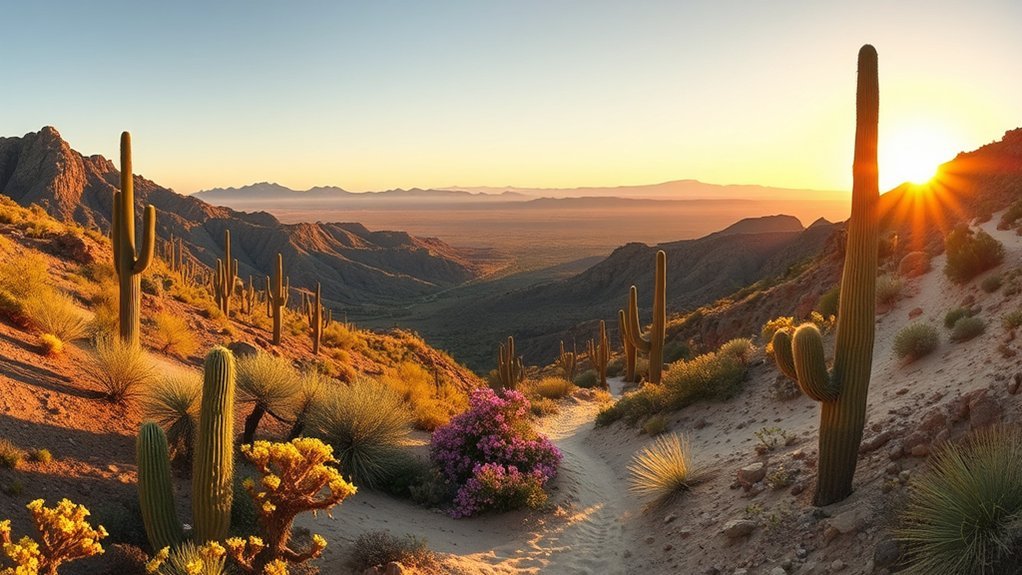
Understanding seasonal weather patterns is critical when planning a visit to Organ Pipe Cactus National Monument:
- Winter (December to March) — Peak Season: Daytime temperatures average 65°F to 75°F with cool nights dropping into the 40s. Ideal for long backcountry routes, mountain ascents, and camping.
- Spring (Late March to April): Wildflower blooms cover desert flats following wet winters. Temperatures rise to 80°F–90°F; early morning starts are recommended.
- Summer (May to September) — Extreme Hazard: Daily high temperatures consistently exceed 100°F to 110°F. Hiking is not recommended after 9:00 AM due to severe risk of heat stroke and dehydration.
- Late Summer Monsoon (July to September): Afternoon thunderstorms bring violent localized downpours and flash floods. Avoid hiking in narrow canyons or parking in dry washes during storm alerts.
Visitor Facilities, Permits, and Camping Information
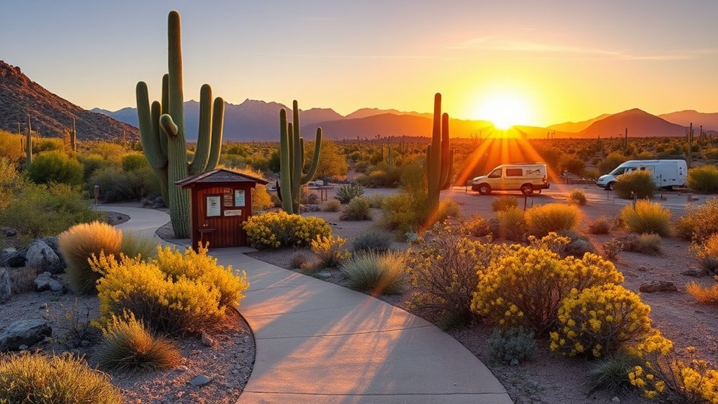
Start your trip at the Kris Eggle Visitor Center, situated along Arizona State Route 85. The center provides park maps, up-to-date road condition updates, drinking water refill stations, and natural history exhibits.
“Check in with park rangers at the Kris Eggle Visitor Center before embarking on long backcountry routes to confirm water availability, road passability, and border safety conditions.”
Park Fees & Camping Options
- Entrance Fee: $25 per private vehicle (valid 7 consecutive days). America the Beautiful passes are accepted.
- Twin Peaks Campground: Features 208 sites accommodating tents and RVs up to 40 feet. Amenities include potable water, solar showers, flush toilets, and dump stations. Reservations are recommended during peak winter months via Recreation.gov.
- Alamo Campground: A primitive 4-site tent campground located in Alamo Canyon. Sites are first-come, first-served with vault toilets and no potable water or open fires permitted.
- Backcountry Camping: Wilderness camping permits ($5 fee) must be secured in person at the visitor center before setting up overnight camps in designated wilderness zones.
Frequently Asked Questions
What is the best hike in Organ Pipe Cactus National Monument?
The Bull Pasture / Estes Canyon Loop (4.1 miles) is widely considered the best overall hike. It combines dramatic volcanic rock formations, expansive views across the Sonoran Desert, and moderate-to-strenuous climbing without requiring the full all-day commitment of summiting Mount Ajo.
Are dogs allowed on hiking trails in Organ Pipe Cactus National Monument?
No. To protect native wildlife and prevent heat-related pet emergencies, dogs are not permitted on any wilderness hiking trails. Pets on a 6-foot leash are only permitted on paved roads, in campgrounds, and on two designated short trails: the Visitor Center Nature Trail and the Palo Verde Trail connecting the campground to the visitor center.
How much water should I carry when hiking in Organ Pipe?
National Park Service rangers recommend carrying at least 1 gallon (4 liters) of water per person per day for short to moderate hikes, and 1.5 to 2 gallons (6 to 8 liters) for strenuous climbs like Mount Ajo. Do not rely on natural springs or canyon pools for drinking water.
Is hiking in Organ Pipe Cactus National Monument safe?
Yes, hiking in Organ Pipe is safe when visitors practice proper desert survival protocols. Because the monument borders Mexico, stay on established trails, never tamper with emergency water rescue beacons, carry reliable navigation tools, and report any suspicious activity to park rangers or Border Patrol agents.
What is the difference between a Saguaro and an Organ Pipe cactus?
While both are columnar cacti, the Saguaro (Carnegiea gigantea) grows a thick main central trunk that branches into upward-curving arms several feet above the ground. The Organ Pipe cactus (Stenocereus thurberi) branches directly from the ground at its base, creating a dense cluster of multiple ribbed stems that resemble pipe organ pipes.
Conclusion
Organ Pipe Cactus National Monument offers an extraordinary wilderness experience where rugged volcanic peaks rise above ancient Sonoran plant communities. Whether tackling the rocky ascent to Mount Ajo or taking a quiet evening stroll along the Desert View Trail, successful hiking relies on carrying generous water supplies, respecting desert temperatures, and protecting fragile biological soil crusts. Stop by the Kris Eggle Visitor Center, map your route according to seasonal conditions, and immerse yourself in one of the American Southwest’s most pristine desert ecosystems.
Sources
- National Park Service: Organ Pipe Cactus Hiking Trails — Official trail descriptions, distances, and elevation profiles.
- National Park Service: Desert Safety Guidelines — Heat illness prevention, hydration standards, and wildlife precautions.
- National Park Service: Fees & Passes — Official park entrance, camping, and backcountry permit fee schedules.
- Recreation.gov: Twin Peaks Campground Reservations — Official camping reservation platform.