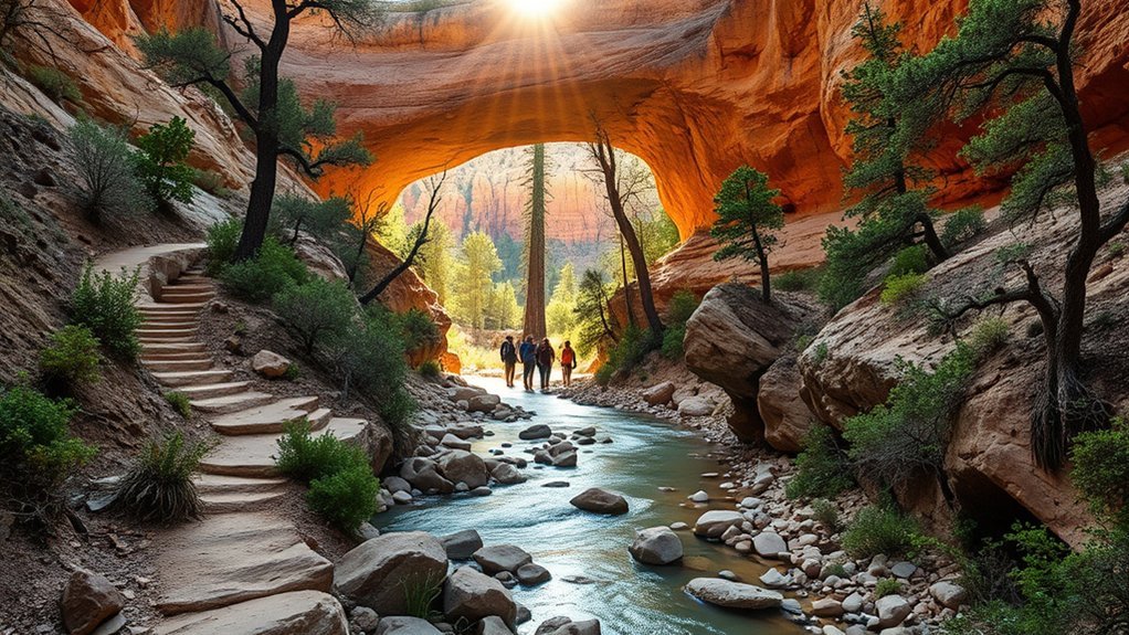
Tonto Natural Bridge State Park offers several short hikes, but distance alone does not show how demanding they can be. The paved Walking Path gives you the easiest views from above, while the Waterfall, Anna Mae, Pine Creek, and Gowan trails descend on steep steps or rough canyon terrain.
This guide compares the official routes, current visitor information, seasonal risks, photography options, wildlife, and park rules so you can choose a hike that fits your time and ability.
Quick Answer
For an easy visit, follow the paved Walking Path for about 0.5 mile one way and stop at the four viewpoints. For a short canyon experience, try Waterfall Trail. Choose Gowan, Anna Mae, or Pine Creek only if you are ready for steep steps, rough ground, and a strenuous climb back.
Key Takeaways
- Easiest option: The paved Walking Path is about 0.5 mile one way and connects the park’s top-side viewpoints.
- Short does not mean easy: The park describes all canyon trails as steep and strenuous.
- Current hours: As of July 23, 2026, the park lists hours of 9 a.m. to 5 p.m., with last entry and canyon-trail closure at 4 p.m.
- Important rules: Pets and glass containers are not allowed on hiking trails, and swimming or wading under the bridge is prohibited.
- Check conditions: Trails can close because of weather, ice, flooding, rockfall, maintenance, or other hazards.
At a Glance
| Time Required | About 30–60 minutes for viewpoints; allow 1–3 hours when adding canyon trails |
| Difficulty | Easy on the paved path; steep and strenuous on all canyon trails |
| Tools Needed | Two liters of water per hiker, closed-toe hiking shoes, sun protection, and an offline park map |
| Cost | Adult age 14+: $10; youth age 7–13: $5; children age 0–6: free, as listed July 23, 2026 |
Getting to Tonto Natural Bridge State Park and Visitor Information
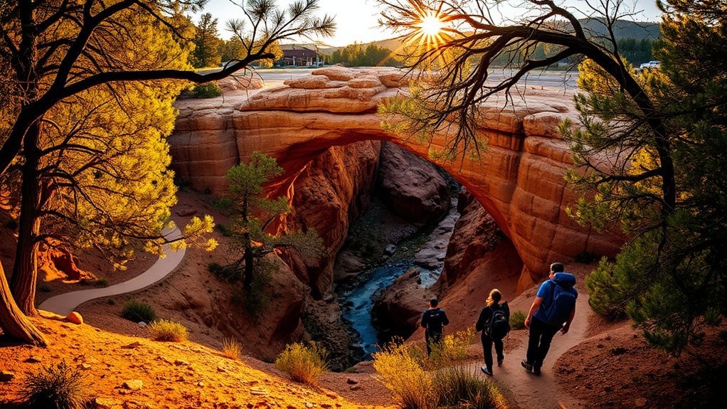
Tonto Natural Bridge State Park is in central Arizona near Pine, about 10 miles north of Payson on State Route 87. The official address is Highway 87, Pine, AZ 85544, with the park entrance reached by the signed park road, FR 583A.
The park sits at approximately 4,530 feet above sea level. Cell service and internet access can become limited inside the canyon, so download the official park and trail map before your visit.
Current Hours and Entrance Fees
As of July 23, 2026, Arizona State Parks lists the following hours and fees:
- Park hours: 9 a.m. to 5 p.m.
- Last entry: 4 p.m.
- Canyon trails: Close one hour before the park closes, currently at 4 p.m.
- Adult age 14 and older: $10
- Youth age 7–13: $5
- Child age 0–6: Free
- Thanksgiving and Christmas Eve: 9 a.m. to 2 p.m.
- Christmas Day: Closed
Hours, fees, fire restrictions, and trail access can change. Check the official park page or call the park at (928) 476-4202 before making a long drive.
Parking and Access
Arriving near opening time can make the visit easier, especially on weekends and holidays. Drive and park only on designated paved surfaces. Do not park along the entrance road.
The paved Walking Path and top-side viewpoints provide the easiest way to see the bridge without entering the canyon. The canyon trails include steep grades, uneven steps, rough rock, and undeveloped sections. Visitors with mobility concerns should ask park staff about current surface conditions and accessible viewing options.
The natural bridge rises about 183 feet above a tunnel roughly 400 feet long and 150 feet wide at its broadest point.
Tonto Natural Bridge Trail Comparison
The park has one paved walking route and four named canyon trails. Official distances are listed one way. Actual walking distance will be longer when you return to your starting point or connect trails.
| Route | Official One-Way Length | Surface and Difficulty | Main Destination |
|---|---|---|---|
| Walking Path | 0.5 mile | Paved and easiest | Four bridge viewpoints and picnic areas |
| Waterfall Trail | About 300 feet, or 0.1 mile | Uneven steps; short but strenuous | Waterfall cave |
| Anna Mae Trail | About 500 feet, or 0.1 mile | Steep canyon trail | Connection to Pine Creek Trail and the natural bridge |
| Gowan Trail | About 2,200 feet, or 0.3 mile | Steep and rough | Creek-bottom observation deck |
| Pine Creek Trail | About 0.4–0.5 mile | First 400 feet developed, then undeveloped creek-bottom terrain | Pine Creek Natural Area and the natural bridge |
The park suggests allowing about one hour for Pine Creek, Anna Mae, or Gowan Trail and 15–20 minutes for Waterfall Trail. Those estimates can vary with crowds, trail conditions, photo stops, and your comfort on steep ground.
Easy Option: Walking Path and Bridge Viewpoints
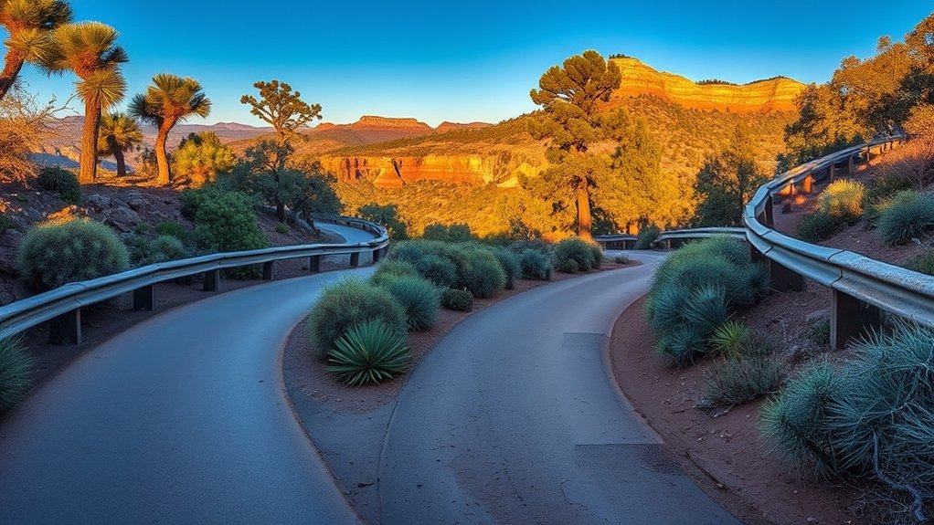
Choose the paved Walking Path when you want the lowest-effort route. The path is approximately 0.5 mile one way and connects four viewpoints above the bridge.
- Best for: Quick visits, scenic overlooks, and visitors who do not want to descend into the canyon
- What you will see: Wide views of the bridge, interpretive areas, forested slopes, and picnic facilities
- Time: About 30–60 minutes, depending on how many viewpoints you visit
- Pet access: Leashed pets are allowed on the paved path and viewpoints but not on hiking trails
Pro Tip: Walk to more than one viewpoint. The bridge’s shape and scale change noticeably as you move between the overlooks.
Short Canyon Hike: Waterfall Trail
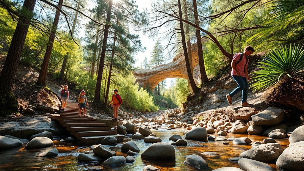
The Waterfall Trail is only about 300 feet long and ends at a waterfall cave. The park recommends allowing 15–20 minutes, but the uneven steps can make the route harder than its short distance suggests.
This trail may suit families whose children are comfortable with steep steps and can follow directions near slippery rock. It is not a stroller route. Anyone who is uncertain on stairs should remain on the paved viewpoints.
Warning: All canyon trails are steep and strenuous. Turn around if the steps are wet, icy, crowded, or beyond the ability of anyone in your group.
Bridge Overlooks and Waterfall-Cave Photography
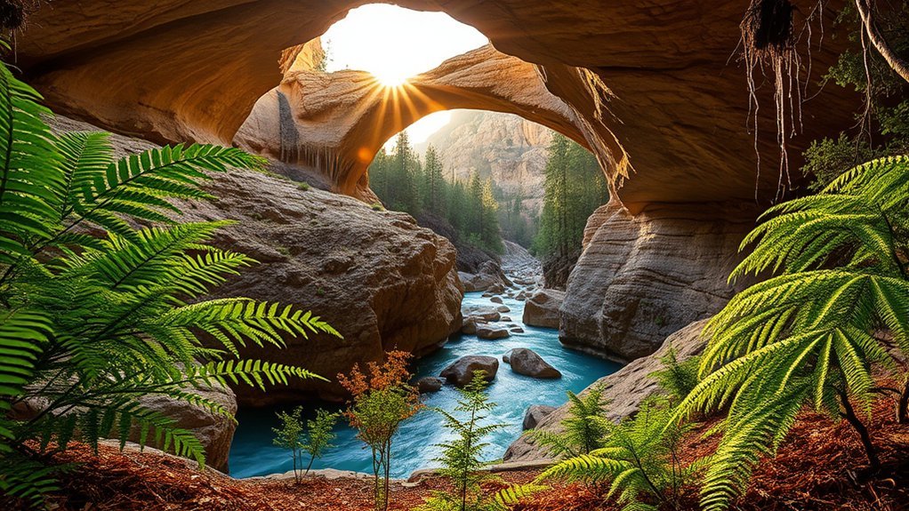
The top-side viewpoints provide the easiest wide views of the natural bridge. The waterfall cave, observation deck, and creek-bottom routes provide darker scenes with rock texture, water, and vegetation.
Best Times to Take Photos
Arrive near opening time for lighter crowds and cooler conditions. Later afternoon can soften the light at some viewpoints, but the park closes at 5 p.m. and canyon trails currently close at 4 p.m. Sunrise and sunset access will not be available during much of the year.
Camera Gear and Settings
A phone or wide-angle lens is enough for most viewpoints. Shaded canyon areas may require a slower shutter speed or higher ISO. Use a tripod only where it will not block a path, stairway, railing, or viewpoint.
Composition Tips
Use railings, canyon edges, or the creek as leading lines. Include trees or people at a safe distance to show the bridge’s scale. Below the rim, look for layers of travertine, darker volcanic rock, ferns, and flowing water.
Watch your footing instead of looking through the camera while walking. Rock polished by water beneath the bridge can be extremely slippery.
Longer Route: Linking Several Short Trails
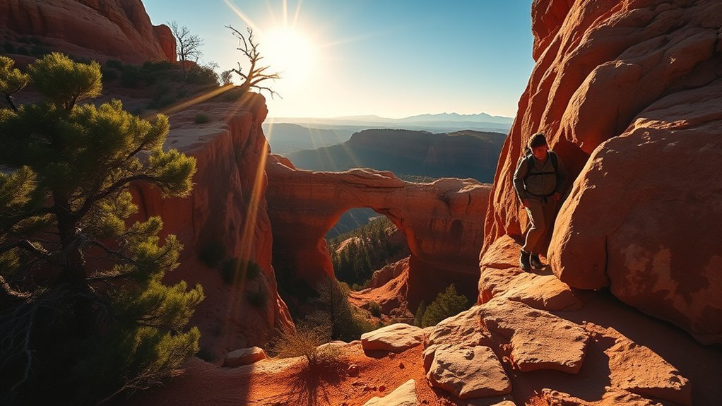
You can create a longer outing by combining parts of the Walking Path, Anna Mae Trail, Pine Creek Trail, Gowan Trail, and Waterfall Trail. However, the park does not publish one fixed 1.5-mile loop as its official route.
Your total distance depends on your trailheads, turnarounds, open connections, and whether you return on the paved path. Review the official map, ask staff which connections are open, and follow yellow arrows and wooden signs under the bridge.
How to Plan a Linked Route
- Start by checking the trail board or visitor center for closures.
- Choose the canyon trail that best matches your group’s ability.
- Identify your return route before descending.
- Allow more time than the mileage suggests because of steep steps and photo stops.
- Return to the rim well before the posted trail-closing time.
Even a short linked route involves repeated climbing and descending. Carry the park-recommended two liters of water per person and wear closed-toe hiking shoes with good traction and ankle support.
| Trail Moment | What You May Notice | Planning Takeaway |
|---|---|---|
| Quiet morning | Cool air and pine scent | Arrive near opening for cooler conditions |
| Steep steps | Careful foot placement | Keep both hands available where possible |
| First view below | Canyon echo and bridge scale | Pause only where you are clear of other hikers |
| Creek-bottom pause | Cooler shade and wet rock | Expect slippery surfaces near water |
Points of Interest
Possible stops include the waterfall cave, the creek-bottom observation deck, Pine Creek Natural Area, and viewpoints looking across the bridge’s tunnel. Do not follow unofficial social trails. They damage vegetation, increase erosion, and may lead toward unsafe cliffs or closed areas.
Pine Creek Trail and Natural Area
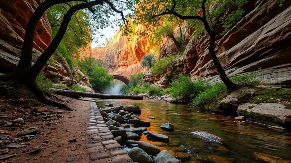
Pine Creek Trail is approximately 0.4–0.5 mile one way. The first 400 feet are developed, but the route becomes undeveloped in the creek bottom as it approaches Pine Creek Natural Area and the bridge.
Move slowly, follow the marked arrows, and expect wet or polished rock. The undeveloped section may require careful route finding and confident footing. The park recommends allowing about one hour.
Note: “Undeveloped” means you should not expect a smooth, maintained walking surface throughout the creek bottom.
Anna Mae Trail
Anna Mae Trail is approximately 500 feet, or 0.1 mile, one way. It connects with Pine Creek Trail and provides access toward the natural bridge.
Although the distance is short, the park still recommends allowing about one hour because of the steep canyon terrain and connecting route. Check the map carefully so you understand where the trail enters Pine Creek and how you will return to the rim.
Gowan Trail: Steep Route to the Observation Deck
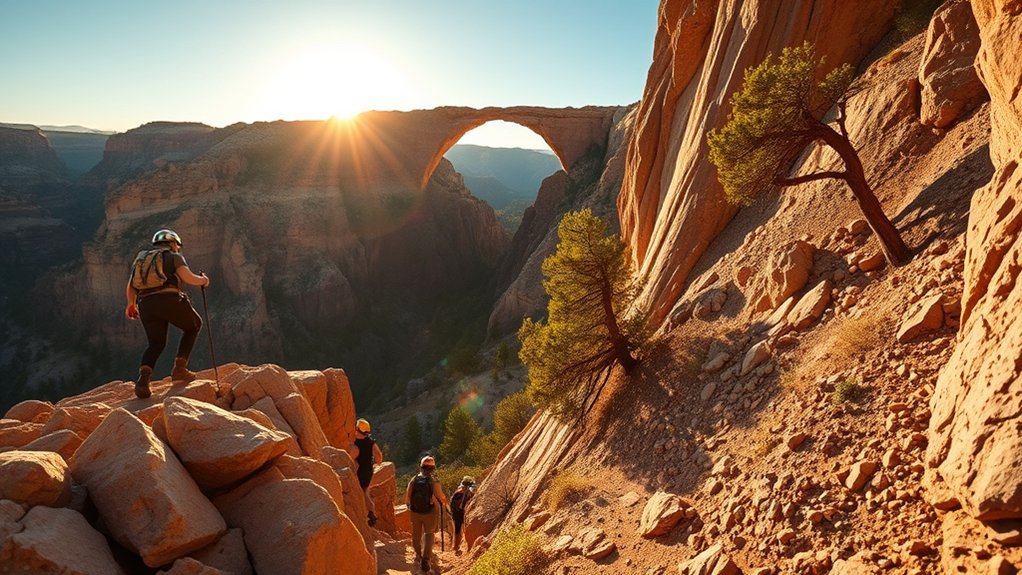
Gowan Trail is approximately 2,200 feet, or 0.3 mile, one way. It descends to an observation deck in the creek bottom before climbing back toward the rim.
The official trail description calls Gowan steep and rough. Allow about one hour, take breaks during the return climb, and remain alert for naturally falling rock.
Safety and Gear Essentials
- Water: Carry two liters per person, as recommended by the park.
- Footwear: Wear closed-toe shoes with traction and ankle support.
- Route: Follow marked trails, yellow arrows, and wooden signs.
- Cliffs and caves: Do not climb cliffs or enter unauthorized caves.
- Pets and glass: Neither is allowed on hiking trails.
- Timing: Begin the climb back early enough to clear the trail before closure.
Birding, Wildlife, and Plants Along Pine Creek
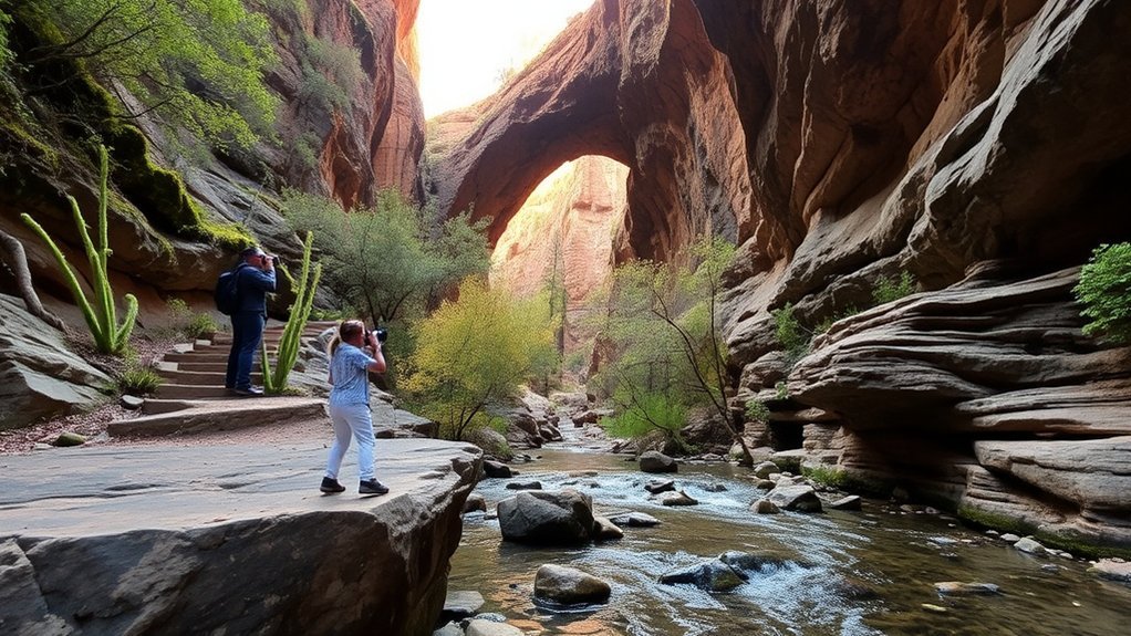
The park’s oak woodland, pine-covered slopes, spring-fed water, and creek-bottom vegetation support varied wildlife. According to the park’s science and ecology information, animals in the area may include javelina, elk, coyotes, gray foxes, bobcats, bats, black bears, and mountain lions.
Birds may include turkey vultures, hawks, eagles, osprey, owls, woodpeckers, wrens, vireos, and roadrunners. Wildlife sightings are never guaranteed.
- Move quietly and observe animals from a distance.
- Never feed wildlife.
- Keep food secured and pack out all waste.
- Watch for rattlesnakes during warmer months.
- Do not pick flowers, remove rocks, or collect natural samples without authorization.
Park Safety, Leave No Trace, and Rules
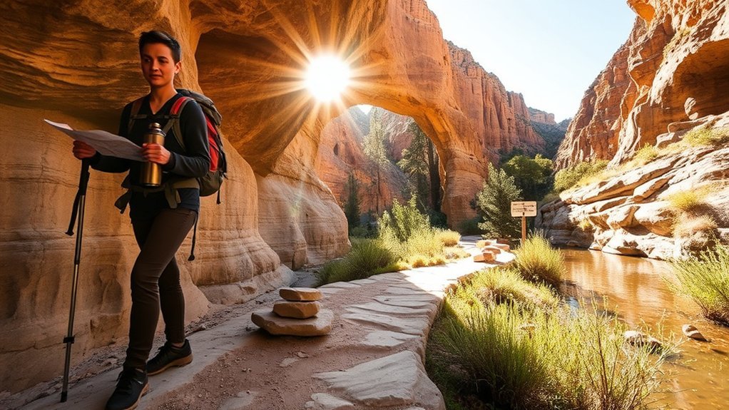
Tonto Natural Bridge is a developed day-use park, but the canyon still presents natural hazards. Conditions may change quickly after rain, during freezing weather, or when rocks fall from the canyon walls.
Warning: Do not enter the canyon when thunderstorms, flash flooding, ice, or trail closures are possible. Rain falling elsewhere can send water into a canyon even when the sky directly above you appears clearer.
- Check current conditions: Review the park alert page and weather forecast before leaving.
- Carry water: Bring two liters per person for canyon hiking.
- Pack out waste: There are no trash cans on the hiking trails.
- Stay on marked routes: Follow signs and yellow arrows, especially beneath the bridge.
- Avoid wet travertine: Rock polished by spring water can be extremely slippery.
- Watch for rockfall: Do not stop below unstable cliffs or climb closed formations.
- Protect the park: Do not remove rocks, plants, wildlife, or other natural material.
- Follow water rules: Swimming and wading under the natural bridge are prohibited.
- Keep pets off trails: Leashed pets may use the paved path and viewpoints but cannot enter the hiking trails.
Best Times to Visit and Seasonal Conditions
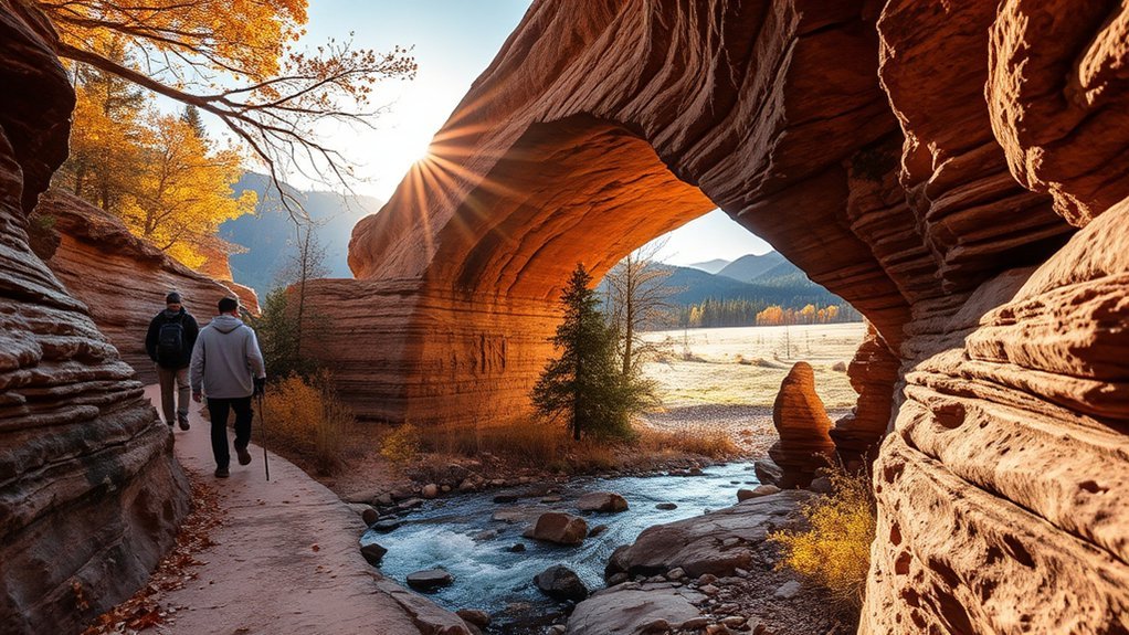
Spring and fall often provide comfortable hiking temperatures, but weekends may be busy. Summer brings heat, lightning, and monsoon flooding risks. Winter can bring ice to shaded steps, trails, and the underside of the bridge.
| Season | What to Expect | Planning Advice |
|---|---|---|
| Spring | Milder temperatures and active vegetation | Arrive early on weekends and check for rain-related closures |
| Summer | Heat, thunderstorms, lightning, and flash-flood risk | Check the forecast, hike early, and avoid the canyon when storms are possible |
| Fall | Generally comfortable hiking weather | Expect weekend traffic and shorter daylight later in the season |
| Winter | Cold shade, ice, and possible trail restrictions | Call before visiting and do not enter an icy canyon trail |
During monsoon season, review the National Weather Service’s northern Arizona monsoon safety guidance. If you hear thunder, move to a substantial building or enclosed hard-topped vehicle rather than remaining at a viewpoint or in the canyon.
Frequently Asked Questions
Which Tonto Natural Bridge trail is the easiest?
The paved Walking Path is the easiest route. It is about 0.5 mile one way and connects four top-side viewpoints without requiring a descent into the canyon. All four named canyon trails are described by the park as steep and strenuous.
Are dogs allowed at Tonto Natural Bridge State Park?
Leashed pets are allowed on the paved Walking Path and viewpoints. Pets are not allowed on the Waterfall, Anna Mae, Gowan, or Pine Creek hiking trails. Keep pets on a leash no longer than six feet and clean up after them.
Is there cell-phone reception inside the canyon?
Reception may be weak or unavailable. The park warns that the canyon limits internet and cell service. Download the trail map and any information you need before descending below the rim.
Does the park offer guided tours or ranger programs?
The park offers changing programs that may include nature walks, Goodfellow Lodge tours, and guided bird walks. Dates, days, and reservation requirements change, so check the official events calendar before visiting.
Is fishing permitted in Pine Creek?
The public park pages do not clearly state whether recreational fishing is permitted within the park. Contact the park before bringing fishing equipment. When fishing is allowed on Arizona public waters, anglers age 10 or older generally need an appropriate license and must follow current Arizona Game and Fish regulations.
Can you camp or stay overnight inside the park?
The park operates as a day-use destination and does not currently offer overnight stays in Goodfellow Lodge. Look for lodging in Payson or Pine and verify camping availability at established campgrounds in the surrounding region.
How much does Tonto Natural Bridge State Park cost?
As of July 23, 2026, admission is $10 for adults age 14 and older, $5 for youth age 7–13, and free for children age 0–6. Check the official park page before visiting because fees can change.
Sources
- Arizona State Parks: Tonto Natural Bridge State Park — current operating hours, fees, location, bridge dimensions, and contact information
- Arizona State Parks: Tonto Hiking Trails — official trail descriptions, estimated times, pet rules, and trail closures
- Tonto Natural Bridge Official Park Map — one-way trail lengths, water recommendation, safety rules, elevation, and canyon guidance
- Arizona State Parks: Tonto Science and Ecology — geology, slippery travertine, plants, birds, and wildlife
- Arizona State Parks: Tonto Programs and Events — current tours, walks, alerts, and Goodfellow Lodge status
- National Weather Service: Northern Arizona Monsoon Safety — lightning, heat, thunderstorms, and flash-flood safety
Conclusion
Tonto Natural Bridge can fit several kinds of visits. Use the paved Walking Path for the easiest viewpoints, add Waterfall Trail for a short canyon descent, or choose Anna Mae, Pine Creek, or Gowan when you are prepared for steep and strenuous terrain.
Check current trail conditions before descending, carry enough water, wear proper shoes, and return to the rim before the trail-closing time. Following marked routes and park rules will help protect both you and the fragile canyon environment.