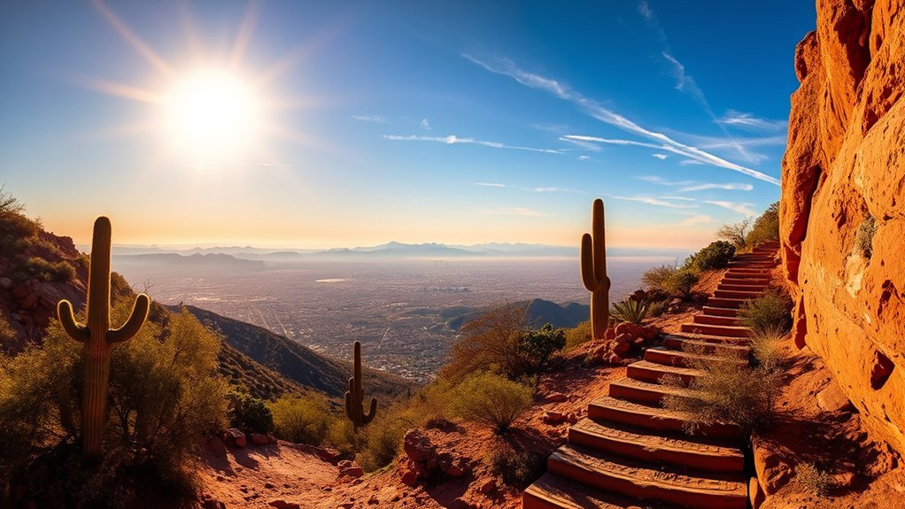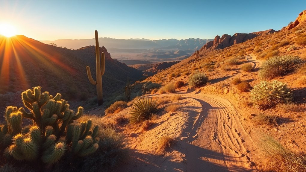
Bisbee combines steep historic streets with high-desert hills and rugged Mule Mountains terrain. At roughly 5,538 feet above sea level, even a short climb can feel demanding. The best route depends on whether you want an urban stair walk, a quick viewpoint, a longer loop, or an official trail on nearby public land.
Quick Answer
Bisbee’s best easy-to-plan hike is the 4.5-mile Bisbee 1000 stair route through Old Bisbee. For a shorter climb, try Youngblood Hill or Chihuahua Hill. North Tombstone Canyon and Juniper Flats add more mileage. Treat Mural Peak and Fissure Peak cautiously because informal routes may cross private land or have access restrictions.
Key Takeaways
- Best town hike: The official Bisbee 1000 course covers 4.5 miles, nine staircases, and more than 1,000 steps.
- Best short viewpoints: Youngblood Hill and Chihuahua Hill are steep, rocky community routes close to Old Bisbee.
- Access matters: Several summit routes are informal and may cross private or mining-company land. Never pass a gate, fence, or no-trespassing sign.
- Heat and storms matter: Carry water, use an offline map, start early, and leave exposed terrain when thunder or dark storm clouds develop.
Top Trails to Try Around Bisbee

Bisbee’s in-town routes mix paved streets, historic stairs, unsigned dirt paths, and old mining roads. Distances and elevation totals can vary between map apps because hikers start in different parking areas or follow different connectors. Use the figures below as planning estimates, not official survey measurements.
| Route | Approx. distance | Typical time | Best for | Access note |
|---|---|---|---|---|
| Bisbee 1000 route | 4.5 mi loop | 2 to 2.5 hr | Town views and stairs | Public streets and stairways; use the official course map |
| Youngblood Hill | About 1.7 mi out and back | About 1 hr | Fast workout and town views | Informal route with loose rock and unsigned junctions |
| Chihuahua Hill (B Mountain) | About 1.6 mi out and back | 1 to 1.5 hr | Short, steep climb | Informal route; expect gravel and route-finding |
| North Tombstone Canyon | About 3.5 mi loop | 1.5 to 2 hr | A longer walk from town | Mixed street and dirt route; download a map |
| Old Bisbee & Juniper Flats Loop | About 5 mi loop | 2.5 to 3 hr | More mileage and higher overlooks | Community-mapped route; confirm the track before leaving town |
Start with the Bisbee 1000 if this is your first visit. The official event course links nine staircases and more than 1,000 steps across Old Bisbee. The organizers list about 1,175 feet of total elevation gain and loss, so do not read that number as 1,175 feet of climbing alone.
For a quicker outing, Youngblood Hill and Chihuahua Hill deliver views with fewer miles. Both are steeper and rougher than their distances suggest. North Tombstone Canyon and the Old Bisbee & Juniper Flats Loop work better when you want a longer route without committing to a remote summit.
Pro Tip: Save the route offline before you leave your vehicle. Bisbee’s stairs, alleys, old roads, and social paths create several tempting wrong turns, and cell service can weaken behind the ridges.
Challenging Peaks and Summit Routes

Bisbee’s summit routes demand more care than the town walks. They may use loose social trails, brushy ridges, old mining roads, and land with unclear or changing access. A map line on a trail app does not create a public right of way.
Warning: Never cross a fence, locked gate, or posted no-trespassing boundary. Current trail notices identify Fissure Peak as private property. Do not continue from Mount Ballard toward Fissure Peak unless the landowner has given you explicit permission and the route is legally open.
Fissure Peak and Mount Ballard via Mule Pass
Older online tracks describe a steep route of roughly 4 to 5 miles with about 1,700 to 1,900 feet of gain. Those numbers are now secondary to the access problem. The approach is an unsigned social route, and current notices warn hikers not to continue to Fissure Peak because it is on private property.
Do not treat this as a normal public trail. If you reach a posted boundary, turn around. For a legal, signed summit-style challenge, use the official trails at Coronado National Memorial listed later in this guide.
Mural Peak
Community route descriptions place the Mural Peak outing at roughly 5.8 to 7.5 miles, depending on the start point and turnaround, with about 1,500 feet of climbing. The route follows old roads and may include a short, steep scramble near the crest.
Access is the main concern. Local descriptions identify private or mining-company land along the route, and there is no formal, signed trailhead. Check with the Bisbee Visitor Center or a local permitted guide before attempting it. Turn back at any closure, active mining area, gate, fence, or posted sign.
Elevation Gain Comparisons
Short mileage does not always mean an easy hike in Bisbee. Compare grade, footing, and access along with the distance:
- Mural Peak: Roughly 1,500 feet of climbing on an informal route, but only when legal access is confirmed.
- Youngblood Hill: About 575 feet of gain in roughly 1.7 miles, with loose rock near the upper section.
- Chihuahua Hill: Roughly 580 feet of gain in about 1.6 miles, with a steep grade and gravel.
- North Tombstone Canyon: About 450 feet of gain over a longer, more gradual loop.
- Bisbee 1000 route: The event lists about 1,175 feet of total gain and loss across the full stair course.
The official Bisbee 1000 course packs nine staircases and more than 1,000 steps into 4.5 miles through Old Bisbee.
Short Scenic Walks and Town Hikes

For a half-day or shorter outing, choose a route that starts close to Old Bisbee and matches your comfort on steep, uneven ground.
| Route | Distance | Typical time | What to expect |
|---|---|---|---|
| Bisbee 1000 route | 4.5 mi | 2 to 2.5 hr | Paved streets, stairs, road crossings, and town views |
| Chihuahua Hill (B Mountain) | About 1.6 mi | 1 to 1.5 hr | Steep dirt, loose gravel, and a quick workout |
| Youngblood Hill | About 1.7 mi | About 1 hr | Road approach, rocky upper path, and broad town views |
| North Tombstone Canyon | About 3.5 mi | 1.5 to 2 hr | Mixed street and dirt route with a quieter back-of-town feel |
| Old Bisbee & Juniper Flats Loop | About 5 mi | 2.5 to 3 hr | Longer climb, higher overlooks, and more route-finding |
Trail Features: Views, Flora, and Wildlife
Bisbee’s routes shift quickly from murals and hillside homes to rocky slopes with yucca, agave, cacti, grasses, and thorny brush. Chihuahua Hill and Youngblood Hill give fast views over town. North Tombstone Canyon and Juniper Flats feel more removed, while higher routes open wider views across the Mule Mountains and into the valleys beyond.
- Mural Peak: Old roads, exposed slopes, broad views, and uncertain access that must be checked before hiking.
- Chihuahua Hill: A short, steep community route toward the large “B” above town.
- Bisbee 1000 route: Historic stairs, colorful neighborhoods, and frequent viewpoints.
Wildlife sightings vary. Give snakes, birds, mammals, and all other animals plenty of space. Do not feed wildlife, reach into rock gaps, or let children and pets approach an animal.
Longer Loop Routes and Half-Day Outings
Most hikes listed in this guide take less than half a day. Add time for parking, navigation, photos, and rest breaks, especially if you are not used to Bisbee’s elevation.
- Moderate loop: Old Bisbee & Juniper Flats Loop, about 5 miles and 2.5 to 3 hours.
- Town-focused challenge: Bisbee 1000 route, 4.5 miles and roughly 2 to 2.5 hours at a walking pace.
- Longer informal climb: Mural Peak, only after confirming legal access and current conditions.
- Signed public-land option: Joe’s Canyon Trail at Coronado National Memorial, 6.2 miles round trip with 1,300 feet of elevation change.
Best Runs and Stair Challenges
Bisbee’s steep streets and stair connections work well for hill training, but the surfaces are not uniform. Slow down on descents, watch for vehicles and residents, and yield on narrow stairs.
- Bisbee 1000 route: Nine staircases and more than 1,000 steps over 4.5 miles.
- Youngblood Hill: A short climb for experienced trail runners who are comfortable on loose rock.
- Chihuahua Hill: A steep grade for uphill intervals, followed by a cautious descent.
The official Bisbee 1000 event has its own race-day rules, including no strollers and no pets. Check the current event instructions before participating.
Trail Conditions and Safety Tips
Expect loose gravel, uneven stairs, exposed slopes, sharp plants, and unsigned junctions. Turn around when the route becomes unsafe, unclear, or legally questionable.
Trail Surface and Hazards
- Wear grippy footwear: Hiking shoes or trail runners help on gravel, steep dirt, and worn steps.
- Protect your legs: Long pants or gaiters can reduce scratches from yucca, agave, cacti, and thorny brush.
- Use poles when helpful: Trekking poles can improve balance on loose descents, but keep one hand free on stairs or easy scrambles.
- Be careful after rain: Rock, dirt, painted steps, and metal surfaces can become slick.
- Stay away from mine openings: Do not enter shafts, tunnels, unstable ruins, or fenced mining areas.
Water and Heat Planning
Shade is limited on many routes. The National Park Service’s desert hiking guidance recommends about one quart or one liter of water per hour on hot, dry summer hikes. Your needs vary with heat, pace, body size, and fitness. Drink regularly, eat salty food on longer outings, and avoid forcing excessive plain water.
Stop hiking if you develop dizziness, confusion, unusual weakness, vomiting, a severe headache, or trouble coordinating your steps. Move to shade, cool down, and seek emergency help for confusion, collapse, or signs of heat stroke.
The official Arizona monsoon season runs from June 15 through September 30. The National Weather Service in Tucson advises hikers to start earlier in the day because afternoon storms can bring lightning and flash flooding. If you hear thunder, leave exposed ridges and seek a substantial building or hard-topped vehicle. Wait at least 30 minutes after the last thunder before returning outside.
Navigation and Gear Choices
- Carry two navigation options: Use an offline map plus a paper map or a second charged device.
- Pack the basics: Water, food, sun protection, a small first-aid kit, and a headlamp belong in your pack.
- Share your plan: Tell someone your route, trailhead, vehicle, and expected return time.
- Check access again: Confirm closures, construction, weather alerts, and land status on the day of your hike.
Elevation and Effort
Bisbee sits more than a mile above sea level, and the surrounding hills rise higher. Visitors from low elevations may notice faster breathing, a higher heart rate, or early fatigue. Start slower than usual, take breaks, and choose a short route on your first day if you are not acclimated.
Parking, Access, and Trailhead Notes
Old Bisbee is compact, steep, and busy on weekends. Some community routes start near residential streets rather than signed trailheads. Park only in marked public spaces, keep driveways and fire access clear, and do not use private lots without permission.
The Bisbee Visitor Center provides local maps and current visitor information. For the Bisbee 1000 route, use the official course information rather than building a route from random stair connections. For Mural Peak, Mount Ballard, or any mining-road route, verify land access before leaving town.
Note: Trail apps can show a track even when the ground route is unsigned, closed, rerouted, or private. Posted signs and landowner instructions always take priority over an app.
Summer Hiking: Timing Matters More Than Route
No exposed Bisbee route is reliably comfortable at midday in hot weather. Start near dawn, choose a shorter route, and set a firm turnaround time. Youngblood Hill, Chihuahua Hill, and a shortened section of the Bisbee 1000 can work early in the day, but they still have little shade.
During monsoon season, check the weather before leaving and watch the sky while hiking. Avoid summit ridges, washes, and drainage channels when storms are nearby. Save long or remote climbs for a stable forecast and cooler conditions.
Gear Recommendations and Leave No Trace Practices
- Essentials: Grippy shoes, water, food, a sun hat, sunglasses, sunscreen, navigation, and a charged phone.
- Useful extras: Trekking poles, long pants, gaiters, a small first-aid kit, and a headlamp.
- Respect neighborhoods: Keep voices low, stay off private steps and yards, and do not block narrow streets.
- Protect the landscape: Stay on existing tread, pack out trash, leave plants and rocks in place, and do not disturb mining remains.
Official Public-Land Alternatives Near Bisbee
If you prefer signed trails, established parking, and clear public access, consider these nearby options:
- Coronado Peak Trail: An easy 0.8-mile round trip with 300 feet of elevation change and broad borderland views.
- Windmill Trail: An easy-to-moderate 2-mile round trip through grassland and oak foothills.
- Joe’s Canyon Trail: A moderate-to-difficult 6.2-mile round trip with 1,300 feet of elevation change.
- San Pedro House trails: Hard-packed paths and loops leading toward the San Pedro River and nearby ponds, with parking, toilets, picnic tables, and visitor information.
Review the current Coronado National Memorial hiking guide or the Bureau of Land Management’s San Pedro House page before traveling.
Frequently Asked Questions
Is there hiking in Bisbee, Arizona?
Yes. You can walk the Bisbee 1000 stair route, climb short community paths such as Youngblood Hill and Chihuahua Hill, or follow longer routes toward North Tombstone Canyon and Juniper Flats. Many in-town dirt routes are informal, so carry a map and respect private property.
What is the best hike for first-time visitors?
The Bisbee 1000 route is the best introduction because it combines historic stairs, neighborhoods, murals, and town views. It is 4.5 miles and includes more than 1,000 steps, so allow about two to two and a half hours and wear shoes with good traction.
When is the best time to hike in Bisbee?
Cooler months, generally late fall through spring, provide the most comfortable conditions. Summer hikes require very early starts, extra water, sun protection, and close attention to monsoon storms from June 15 through September 30.
Can you hike Fissure Peak from Mule Pass?
Do not continue to Fissure Peak when the route enters posted private property. Current trail notices warn that Fissure Peak is private. A map track is not permission to cross land, fences, or gates. Choose a signed public trail unless you have explicit landowner permission.
Is Mural Peak an official maintained trail?
No formal, signed trailhead is documented for the common community route. It follows old roads and may involve private or mining-company land. Verify current legal access with the Bisbee Visitor Center or a local permitted guide before starting.
Is Bisbee, Arizona worth visiting for hikers?
Yes. Bisbee offers an unusual mix of historic stairways, hillside neighborhoods, high-desert scenery, and nearby public-land trails. It works especially well for travelers who want to combine a town walk with a short, steep outdoor challenge.
Sources
- Bisbee 1000: The Great Stair Climb: official course distance, staircase count, step count, elevation information, and event rules.
- Discover Bisbee: city elevation, visitor center details, and local planning information.
- National Weather Service Tucson: Monsoon Safety: lightning, flash-flood, heat, and early-start guidance.
- Saguaro National Park: Hiking Safety: desert hydration and heat-safety guidance.
- Coronado National Memorial: Hiking: official nearby trail distances, difficulty, and elevation change.
- Bureau of Land Management: San Pedro House: public trail, parking, toilet, picnic, and visitor-service information.
Conclusion
Bisbee offers memorable hikes, but the safest choices are the routes with clear public access. Start with the Bisbee 1000 for a town-and-stairs experience, choose Youngblood Hill or Chihuahua Hill for a short climb, and use official public-land trails when you want signed trailheads and confirmed access. Carry water, download your map, watch the weather, and turn around at every posted private boundary.