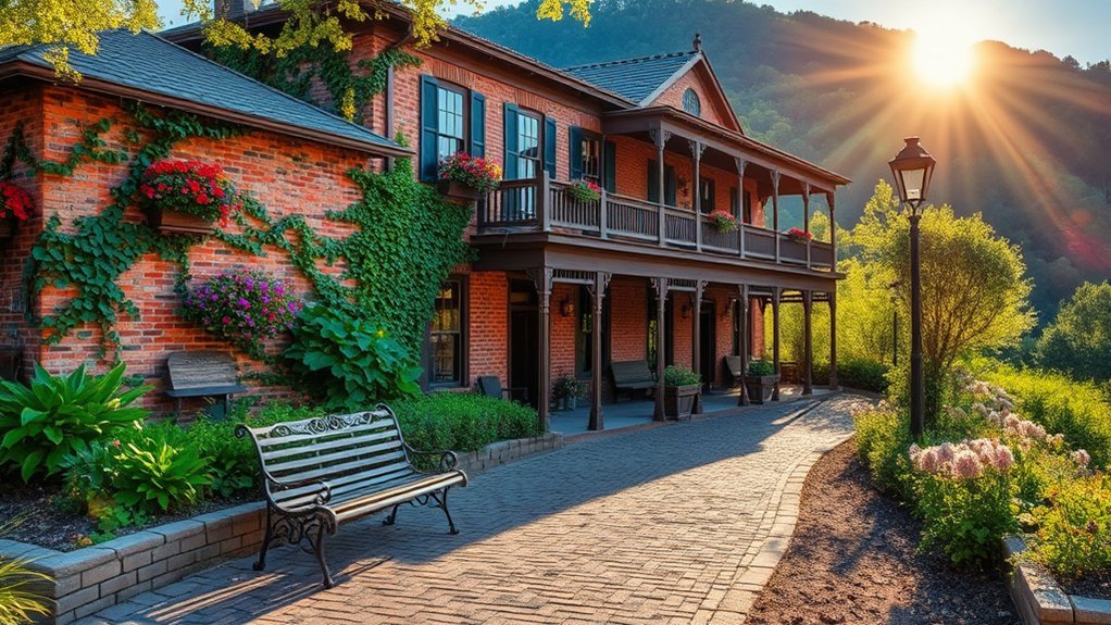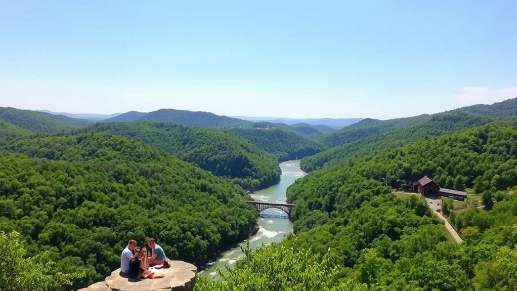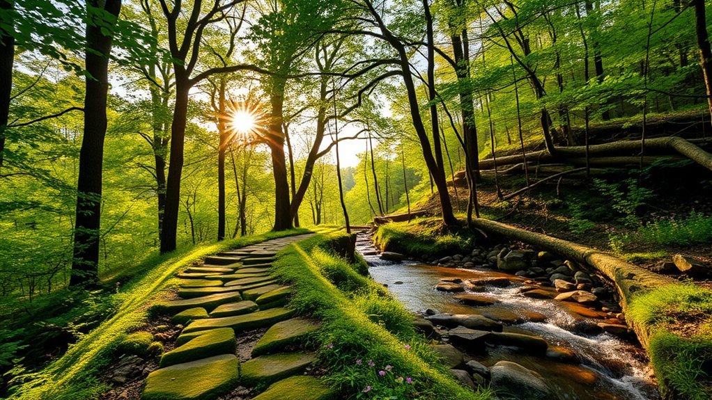
If you’re looking for the best hikes near Eureka Springs, Arkansas, you can choose from easy lakeside walks, short bluff overlooks, waterfall routes, and demanding wilderness hikes. Some options sit within Eureka Springs itself, while Whitaker Point, Lost Valley, Tea Kettle Falls, Kings River Overlook, and Hemmed-in Hollow make better half-day or full-day trips. The right choice depends on your fitness, available time, weather, and comfort around cliffs or rough terrain.
Quick Answer
The best hikes near Eureka Springs range from easy local walks at Black Bass Lake and Blue Spring Heritage Center to longer trips at Whitaker Point, Lost Valley, and Hemmed-in Hollow. Choose by distance and difficulty, then check current trail, weather, hunting-season, fee, and pet rules before leaving.
Key Takeaways
- Best easy local option: Black Bass Lake gives you a scenic trail system close to downtown Eureka Springs.
- Best local trail variety: Lake Leatherwood City Park has more than 25 miles of hiking and biking trails.
- Best waterfall-and-cave hike: Lost Valley combines a natural bridge, Eden Falls, a bluff shelter, and an optional wild-cave spur.
- Best iconic overlook: Whitaker Point, also called Hawksbill Crag, rewards a roughly 3-mile round trip with a famous Ozark bluff view.
- Most strenuous option: Hemmed-in Hollow is a steep wilderness hike that typically takes 4 to 6 hours and requires a demanding climb back to the trailhead.
- Check rules before leaving: Pet restrictions, WMA permits, seasonal hunting activity, waterfall flow, and temporary trail closures vary by destination.
Best Hikes Near Eureka Springs at a Glance
| Trail | Approx. Distance | Difficulty | Best For |
|---|---|---|---|
| Whitaker Point | About 3 miles round trip | Easy to moderate hiking, but exposed cliffs | Iconic Ozark views |
| Lost Valley | About 2.3 miles round trip | Easy to moderate, harder near cave | Families, waterfalls, natural features |
| Hemmed-in Hollow | About 5 miles round trip from Compton | Strenuous | Experienced hikers |
| Tea Kettle Falls | About 2.2 miles round trip | Moderate, less-developed route | Seasonal waterfall adventure |
| Black Bass Lake | About 3 miles of trails | Easy to moderate | Easy local outing |
| Lake Leatherwood | 25+ miles of trails | Varies by route | Local trail variety |
| Pigeon Roost | About 4-mile short loop or 8.5-mile full route | Moderate to strenuous | Longer woodland hikes |
| Blue Spring Heritage Center | Managed garden walking paths | Easy | Accessible scenery and history |
| Kings River Overlook | 1 mile round trip | Moderate | Short bluff views |
Whitaker Point Trail
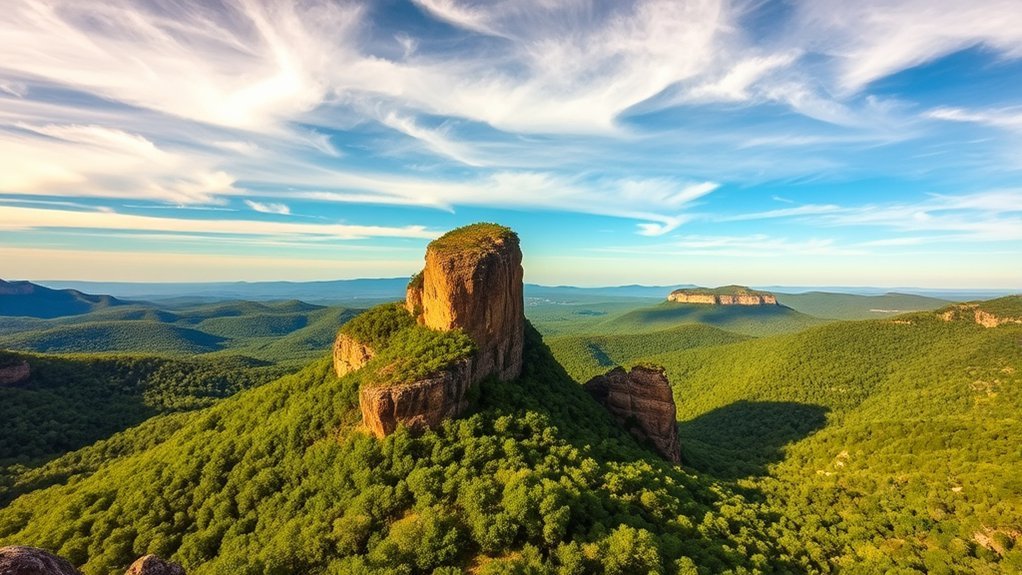
Whitaker Point Trail, also known as Hawksbill Crag Trail, leads into the Upper Buffalo Wilderness and ends at one of Arkansas’ best-known bluff overlooks. The U.S. Forest Service lists the trailhead as open year-round with no site fee. The route is about 1.5 miles each way, making the hike roughly 3 miles round trip.
The walk passes through hardwood forest where wildflowers, birds, and other wildlife may add interest along the way. The main attraction is Hawksbill Crag itself, which projects above the Upper Buffalo Wilderness and gives you a broad Ozark view. The hike is manageable for many casual hikers, but describing it as universally easy would be misleading because the destination includes steep, exposed cliffs.
Warning: Whitaker Point has exposed bluff edges. Keep children closely supervised, stay well back from drop-offs, and use extra caution when rock is wet or icy. The Forest Service also lists no restroom and no potable water at the trailhead, so arrive prepared.
Pro Tip: Allow extra driving time. The final approach to this remote trailhead uses rural roads, and road conditions can change after heavy rain or winter weather.
Lost Valley Trail
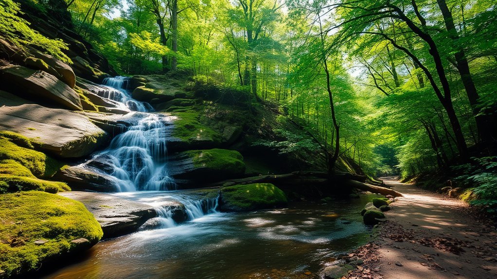
Lost Valley Trail in Buffalo National River is one of the best choices if you want several natural features on one relatively short hike. The approximately 2.3-mile round trip follows a box canyon and passes a natural bridge, Cob Cave bluff shelter, and the 53-foot Eden Falls. NPS rates the experience as easy to moderate and says an average visit takes about two hours.
The first half-mile is comparatively wide and smooth except for an initial creek crossing, making that part more approachable for families and casual walkers. Higher on the route, however, stone steps and rocky terrain make the hike more demanding. The optional spur toward Eden Falls Cave is steeper and rougher.
Inside the undeveloped cave, a roughly 25-foot waterfall can be reached only by entering a dark, wet environment that may require crawling. If you are not equipped for a wild cave, simply enjoy Eden Falls and the surrounding bluff scenery before turning back.
Warning: NPS identifies Lost Valley as a frequent search-and-rescue location because of slippery rocks and hazardous cliff areas. Stay on designated routes, supervise children, and do not treat the upper trail or cave spur as an accessible walkway. Pets are not allowed on Lost Valley Trail, although documented service animals are permitted.
Hemmed-in Hollow Trail
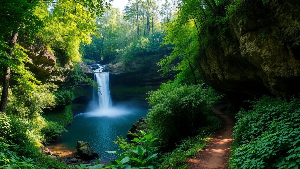
The Hemmed-in Hollow Trail is the most demanding hike in this guide. It descends from the Compton Trailhead into the remote Ponca Wilderness to Hemmed-in Hollow Falls, which drops nearly 210 feet over an Ozark bluff. The National Park Service describes it as the highest waterfall between the Rockies and the Appalachians.
The waterfall is seasonal rather than guaranteed. NPS says it flows after substantial rainfall, so checking recent precipitation before committing to the hike can save you from making a strenuous trip to a dry bluff.
Trail Overview and Features
From the Compton Trailhead, the trail drops nearly 1,400 feet into the wilderness. That descent can make the beginning feel deceptively easy, because the return requires gaining roughly 1,400 feet over about 2.5 miles. NPS gives an average completion time of 4 to 6 hours and recommends planning enough time for a full-day wilderness outing.
Rocky surfaces, steep grades, remote trail intersections, and the long climb back make this a poor choice for anyone looking for a casual walk. NPS does not recommend the hike for children under 12, and ordinary pets are not allowed on trails in the Ponca Wilderness.
Scenic Highlights and Views
The effort comes with impressive scenery. Along the route, you can encounter:
- The nearly 210-foot Hemmed-in Hollow Falls
- Wide views across the Buffalo River and surrounding Ozark ridges
- Rugged wilderness terrain with hardwood forest and seasonal wildflowers
- Good opportunities for wildlife observation and photography
- Particularly colorful scenery during fall foliage season
Because the trail intersects other wilderness routes, a detailed map matters more here than on the shorter hikes close to Eureka Springs.
NPS reports that more search-and-rescue operations occur on the Hemmed-in Hollow Trail than at any other location in Buffalo National River.
Tips for Successful Hiking
Preparation is essential rather than optional on this trail. NPS advises day hikers to carry at least 2 liters of water, salty snacks, suitable footwear and clothing, and a detailed trail map.
| Essential Gear | Safety Tips | Additional Supplies |
|---|---|---|
| Sturdy hiking shoes or boots | Carry a detailed trail map | At least 2 liters of water per hiker |
| Weather-appropriate clothing | Tell someone your route and return time | Salty snacks and substantial food |
| First-aid kit | Start early and conserve energy for the climb out | Sunscreen, insect repellent, and a light source |
Warning: Do not underestimate the return climb. Heat, dehydration, exhaustion, route confusion, and steep terrain are recurring problems on Hemmed-in Hollow. If you are unsure whether your fitness or preparation is adequate, choose one of the shorter hikes in this guide.
Tea Kettle Falls Hike
Tea Kettle Falls is a less-developed waterfall hike in the McIlroy-Madison County Wildlife Management Area south of Eureka Springs. Local Eureka Springs trail information describes the outing as roughly a 2.2-mile out-and-back route. Unlike maintained park trails, portions can be difficult to follow, so this is better for hikers who are comfortable with rougher navigation.
Trail Overview and Features
Tea Kettle Falls is known for water pouring through a spout-like opening in the bluff when conditions are wet enough. The route follows rugged Ozark terrain and may involve creek crossings. Waterfall flow is strongly dependent on recent rainfall, so a dry spell can dramatically change what you see.
Hike House in Eureka Springs can be a useful source of local trail information and detailed directions, but it is not the Tea Kettle Falls trailhead. The drive to the hiking area takes you south of Eureka Springs into Madison County.
Scenic Highlights Along Route
The appeal is the combination of a seasonal waterfall, creek scenery, limestone and sandstone formations, bluff shelters, and a quieter setting than the area’s most heavily visited trails. Photographers often get the best conditions after recent rain, but higher water can also make creek crossings more difficult.
Warning: Tea Kettle Falls lies within McIlroy-Madison County WMA. Check the current Arkansas Game and Fish Commission WMA rules before visiting. AGFC currently requires WMA users to have a qualifying hunting or fishing license or a WMA/Lake Conservation Permit. Hunting occurs in the area during legal seasons, so check current dates and wear hunter orange when appropriate.
Pro Tip: Do not rely on a single mileage or elevation figure for Tea Kettle Falls. It is less formally developed than trails managed as signed park routes, and published route descriptions vary. Carry offline navigation or detailed local directions.
Black Bass Lake Trail
If you want a quieter hike without making a long drive from Eureka Springs, Black Bass Lake City Park is one of the easiest choices to work into your day. The park has roughly 3 miles of trails with a mix of shoreline walking, rocky sections, bluff scenery, small streams, and forest.
Rather than one perfectly uniform loop, think of Black Bass as a compact trail system. You can choose a shorter lakeside walk or include steeper spur sections depending on your time and energy. Hiking, biking, fishing, birdwatching, and photography are all popular reasons to visit.
The Eureka Springs Parks and Recreation Commission notes that there are no facilities at Black Bass Lake. General parking is near the kiosk and across the bridge.
Warning: The Black Bass Lake dam, the area below the dam, and the spillway are designated no-access areas. Enjoy the views from legal trail and parking areas rather than climbing onto restricted structures.
Lake Leatherwood City Park
Lake Leatherwood City Park deserves a place on any list of the best hikes in Eureka Springs because it gives you the largest concentration of local trail choices. The 1,610-acre city park surrounds an 85-acre spring-fed lake, and Eureka Springs Parks and Recreation maintains more than 25 miles of hiking and biking trails.
That trail network makes Lake Leatherwood useful for both short outings and longer half-day hikes. Depending on the route you choose, you can explore wooded ridges, lake views, historic park structures, rocky Ozark terrain, and the area around the park’s large hand-cut limestone dam.
Because mountain bikes also use parts of the park, pay attention at intersections and stay aware of trail designations. If you want to hike close to town without committing to a remote Buffalo River trailhead, Lake Leatherwood is one of the most flexible options in this guide.
Pigeon Roost Trail
Pigeon Roost Trail at Hobbs State Park-Conservation Area is a better choice for hikers who want a longer woodland outing. The Arkansas State Parks route is a double-stacked loop rather than a single 4.3-mile circuit.
The shorter loop is approximately 4 miles and works well for a substantial day hike. The complete route extends to about 8.5 miles and includes several hills, narrow hollows, rugged ridges, native pine and hardwood forest, and seasonal views toward Beaver Lake. Arkansas State Parks recommends allowing roughly 8 to 9 hours for the full route.
| Feature | Details |
|---|---|
| Trail Type | Double-stacked loop |
| Short Route | Approximately 4 miles |
| Full Route | Approximately 8.5 miles |
| Difficulty | Moderate to strenuous depending on route |
Note: Pigeon Roost and other Hobbs State Park trails can close during permitted hunting periods. Check the park’s current notices before making a fall or winter trip.
Blue Spring Heritage Center Walking Paths
Blue Spring Heritage Center offers a different experience from the wilderness hikes in this guide. It is a managed heritage attraction with landscaped walking paths rather than a backcountry trail, making it a good option for visitors who want an easier combination of scenery, history, gardens, and wildlife observation.
The centerpiece is Blue Spring, which pours millions of gallons of clear water into a trout-filled lagoon. The grounds also include native gardens and a historic bluff shelter associated with thousands of years of human history and the Trail of Tears. The official Blue Spring Heritage Center says the tour is accessible.
This is also one of the destinations in this guide where admission matters. The current 2026 posted rates are $17.75 for adults, $9.75 for children ages 6 to 15, free for children 5 and under, and discounted rates for qualifying seniors and military veterans. Posted prices and seasonal hours can change, so check the official site before visiting.
Note: Ordinary pets are not allowed at Blue Spring Heritage Center. Service animals are permitted.
Kings River Overlook Trail
For a short hike with a large scenic payoff, Kings River Overlook Nature Trail is a strong choice. The Arkansas Game and Fish Commission lists it as a moderate, 1-mile out-and-back foot trail in McIlroy-Madison County Wildlife Management Area.
The route follows a bluff above the Kings River, giving you wide views of the river’s bends, surrounding forest, and Ozark terrain. Bald eagles, red-shouldered hawks, turkey vultures, deer, and turkey are among the wildlife you may encounter in the WMA.
The short distance makes Kings River Overlook easier to fit into a half-day outing than Hemmed-in Hollow or Pigeon Roost, but the high bluff means it should not be treated as risk-free.
Warning: AGFC specifically advises visitors to stay away from the bluff edge. The trail is for foot traffic only, and camping, campfires, and rappelling are not allowed along the trail or overlook. Because it is within a wildlife management area, check current permit and hunting-season requirements before visiting.
How to Choose the Right Eureka Springs Hike
The best trail depends less on which one has the most dramatic photograph and more on what kind of day you want.
- For an easy local outing: Start with Black Bass Lake or the managed paths at Blue Spring Heritage Center.
- For lots of choices without leaving Eureka Springs: Head to Lake Leatherwood City Park.
- For families wanting waterfalls and natural features: Lost Valley is one of the strongest options, but skip the cave spur if your group is not prepared for rough, dark conditions.
- For an iconic overlook: Choose Whitaker Point while respecting the exposed bluff edge.
- For a seasonal waterfall adventure: Tea Kettle Falls works best after recent rain and for hikers comfortable with a less-developed route.
- For a short river overlook: Kings River Overlook gives you a scenic payoff in about one mile.
- For a longer woodland hike: Choose the short or full Pigeon Roost loop.
- For a serious wilderness challenge: Hemmed-in Hollow is the standout, but only with adequate water, fitness, navigation, and time.
Pro Tip: Waterfalls throughout the Ozarks can change dramatically with rainfall. Spring and wet periods often provide stronger flow, while fall offers excellent foliage. In summer, heat and humidity make water and an early start especially important.
Frequently Asked Questions
Are there any fees to access the hiking trails?
It depends on the destination. Buffalo National River currently charges no entrance or day-use fee, and the Forest Service lists Whitaker Point as free. Blue Spring Heritage Center is a paid attraction. Tea Kettle Falls and Kings River Overlook are within McIlroy-Madison County WMA, where AGFC currently requires users to hold a qualifying hunting or fishing license or WMA/Lake Conservation Permit. Always verify current rules before your trip.
What is the best season for hiking in Eureka Springs?
Spring and fall are usually the most comfortable seasons. Spring can bring better waterfall flow and wildflowers, while fall offers colorful foliage and cooler temperatures. Summer hikes can be hot and humid, especially on strenuous routes such as Hemmed-in Hollow. Winter provides clearer long-distance views through leafless forest but can bring icy rock and trail conditions.
Are pets allowed on the hiking trails?
Pet rules vary by destination, so do not assume every trail is dog-friendly. Lost Valley Trail does not allow pets, and pets are prohibited on trails in the Ponca Wilderness, including Hemmed-in Hollow. Blue Spring Heritage Center also prohibits ordinary pets. Check the managing agency’s current rules for the specific trail you plan to hike.
Is there parking available near the trailheads?
Yes, the trails in this guide have designated or commonly used parking areas, but facilities vary greatly. Whitaker Point has no restroom or potable water at the trailhead. Hemmed-in Hollow’s Compton Trailhead also has no restroom. Black Bass Lake has general parking near its kiosk and across the bridge but no visitor facilities. Remote roads can also become more difficult after heavy rain or winter weather.
Can I find guided hiking help in the Eureka Springs area?
Yes. Hike House in Eureka Springs provides locally focused trail guidance and handcrafted trail guides for nearby routes. Guided offerings and availability can change, so contact the provider before relying on a specific service or departure time.
Which hike is best for families?
Black Bass Lake and the easier portions of Lost Valley are strong choices for many families. Blue Spring Heritage Center is even more controlled and accessible, although it charges admission. Whitaker Point requires close supervision around cliffs, while Hemmed-in Hollow is not recommended by NPS for children under 12.
Will the waterfalls always be flowing?
No. Ozark waterfalls can be highly dependent on recent rainfall. Hemmed-in Hollow Falls and Tea Kettle Falls are especially worth checking after wet weather. A dry period can reduce the flow substantially or leave seasonal falls nearly dry.
Conclusion
Eureka Springs gives you far more hiking variety than one trail can represent. You can stay close to town for a quiet walk at Black Bass Lake, explore the extensive network at Lake Leatherwood, seek river views at Kings River Overlook, or make a longer day trip toward Whitaker Point and Buffalo National River. If waterfalls are your priority, Lost Valley, Tea Kettle Falls, and Hemmed-in Hollow each offer a different level of challenge.
The most important step is matching the trail to your experience and current conditions. Check the managing agency’s latest alerts, carry enough water, respect restricted areas and bluff edges, and verify pet, permit, hunting-season, and access rules before leaving. A little planning will make the Ozark scenery much easier to enjoy safely.
Sources
- U.S. Forest Service: Whitaker Point (Hawksbill Crag) Trailhead — official trailhead status, fees, water, and restroom information.
- National Park Service: Lost Valley Trail — Eden Falls, cave waterfall, difficulty, safety, pet, and accessibility information.
- National Park Service: Hemmed-in Hollow — waterfall height, hike duration, elevation, water guidance, and search-and-rescue warnings.
- Eureka Springs Parks and Recreation — Black Bass Lake and Lake Leatherwood trail, facility, parking, and access information.
- Arkansas State Parks: Pigeon Roost Trail — official distance, route configuration, difficulty, time, and seasonal closure information.
- Arkansas Game and Fish Commission: Kings River Overlook Nature Trail — official trail distance, difficulty, bluff safety, wildlife, and WMA information.