Prescott gives you an unusually wide range of hiking choices within a relatively small area, from short climbs through ponderosa pine to granite-lined lake trails and longer wilderness routes. The key is choosing a trail that matches your time, fitness, weather, and comfort on uneven rock. Bring water, sun protection, sturdy footwear, and a current map, then use the guide below to narrow your options.
Quick Answer
For a short Prescott hike, start with Thumb Butte or the Granite Dells. Choose Watson Lake, Willow Lake, or Peavine for easier scenic mileage, and Granite Mountain Trail #261 for a much harder wilderness outing. Mingus Mountain adds cooler high-country options, while Sycamore Canyon is better treated as a remote side trip.
Key Takeaways
- Thumb Butte is one of the best short climbs close to downtown, but follow the official loop rather than trying to climb the rock summit.
- Granite Mountain Trail #261 is a difficult 4.1-mile one-way wilderness trail, making the full out-and-back a serious outing.
- Watson Lake, Willow Lake, Constellation, and Peavine give you flexible routes through and around Prescott’s Granite Dells.
- Trail conditions vary sharply. Smooth rail-trail sections can turn into exposed granite, loose rock, mud, snow, or ice depending on the route and season.
- Check current rules and conditions with the City of Prescott or Prescott National Forest before leaving, especially for fees, closures, fire restrictions, and remote forest-road access.
Choose a Prescott Hike by Time and Effort
Prescott’s trail system includes more than 100 miles of city-managed trails, while Prescott National Forest adds wilderness and mountain routes beyond the city system. That means two hikes only a short drive apart can differ greatly in difficulty, facilities, trail surface, and rules. The City of Prescott trail system is the best starting point for current city maps.
| Trail or Area | Best For | General Effort |
|---|---|---|
| Thumb Butte | Short climb and big views | Moderate to strenuous in places |
| Granite Mountain #261 | Long wilderness hike | Difficult |
| Watson Lake / Granite Dells | Photography and granite scenery | Easy to challenging, route-dependent |
| Constellation Trails | Short loops and rock scenery | Easy to moderate |
| Mingus Mountain | Higher-elevation forest hiking | Moderate, route-dependent |
| Willow Lake | Flexible lake and Dells hiking | Easy to challenging |
| Peavine Trail | Walking, running, and easy-grade mileage | Easy to moderate |
Warning: Prescott’s elevation does not eliminate desert and mountain hazards. Exposed granite can become hot or slippery, winter routes may hold snow and ice, and higher trails can be windy or much cooler than downtown. Carry your own water, turn around before exhaustion, and check the managing agency’s current conditions before a longer or remote hike.
Thumb Butte Trail
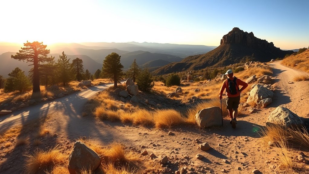
Tucked just west of downtown Prescott, Thumb Butte Trail #33 is one of the area’s classic short hikes. Instead of treating it as a simple trail to the rock summit, follow the established Forest Service loop through the Thumb Butte Recreation Area. The route includes steep sections, and Forest Service material notes that much of the trail is paved.
The climb is short enough to fit into a morning or afternoon but steep enough to make you work. Ponderosa pine, rocky slopes, and open viewpoints give the route much more variety than its compact footprint suggests. Hiking shoes with dependable grip help, especially during the descent or when winter moisture leaves shaded areas slick.
Use the USDA Forest Service Thumb Butte Trail information before your visit for the official route. Thumb Butte Trail #33 is intended for hikers, and staying on the marked trail also protects the steep terrain around the formation.
Pro Tip: If you want views without afternoon heat or a crowded trailhead, an early start is usually the better choice. In cold weather, however, shaded pavement and rock can hold ice longer than sunny slopes.
Granite Mountain Trail
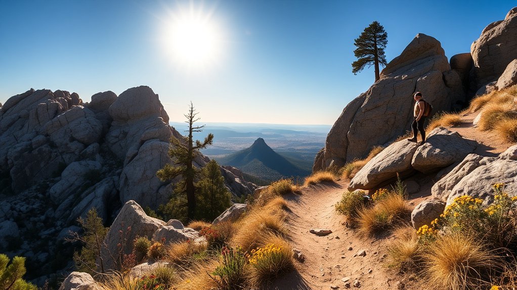
Granite Mountain Trail #261 is a major step up from Prescott’s short city hikes. The U.S. Forest Service trail description lists the trail at 4.1 miles one way and rates it difficult. A full out-and-back therefore approaches 8.2 miles before any additional wandering or side trips.
Trail Overview
The trail begins in the Granite Basin area and leads into Granite Mountain Wilderness, where large boulders, rugged slopes, chaparral, pinyon-juniper vegetation, and expansive views create a distinctly wilder experience than the lakeside trails near town.
Do not plan this hike like a two-hour fitness loop. Give yourself enough daylight for the distance, elevation changes, breaks, and a careful return. Carry a downloaded or paper map, because wilderness trail junctions and surrounding terrain deserve more attention than a paved city route.
The Forest Service states that potable water is not available in Granite Mountain Wilderness. It also requires dogs to remain on leash and prohibits campfires. Review the current Granite Mountain Wilderness rules before leaving.
Difficulty & Elevation
The official difficult rating matters more than an isolated elevation-gain number. You are dealing with more than eight miles if you hike Trail #261 out and back, plus rocky footing, sustained climbing, sun exposure, and a wilderness setting.
- Distance: 4.1 miles one way on Trail #261.
- Difficulty: difficult according to the Forest Service.
- Water: carry your own; potable water is not available in the wilderness.
- Navigation: carry a current map and stay on maintained routes.
- Time: plan it as a substantial half-day or longer hike rather than a quick summit outing.
Scenic Highlights
Granite Mountain’s appeal is the scale of the landscape. Massive granite formations rise above chaparral and woodland, with broad views opening as you gain elevation. The changing vegetation and rock formations make this a rewarding choice for hikers who want a more rugged Prescott experience.
- Large granite formations: the wilderness is known for enormous stacked and weathered boulders.
- Open views: higher sections reveal broad surrounding valleys and mountain country.
- Wilderness character: fewer developed amenities make the hike feel much farther from town than it actually is.
- Quiet breaks: use durable surfaces and established stopping points instead of creating new paths around rock formations.
Watson Lake Loop
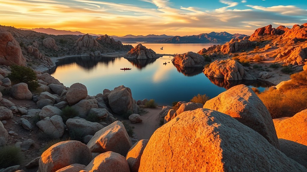
Watson Lake is one of Prescott’s most photogenic hiking areas, but think of the “Watson Lake Loop” as a route through an interconnected trail network rather than a uniformly easy two-mile shoreline path. The Granite Dells create sections of exposed rock, short climbs, narrow passages, and route choices around the lake.
The City of Prescott Watson Lake page identifies nearby Peavine and Iron King Trails as relatively flat hiking options. If you want more technical granite terrain, connect into the Dells trails shown on the city’s current trail map.
Scenic Granite Formations
The rounded boulders surrounding Watson Lake are the main attraction. Depending on the route you choose, you may cross smooth slabs, thread between rock formations, or stop at natural overlooks above the water.
Move carefully on exposed granite. A surface that feels secure when dry can become slick after rain, frost, or snow. Do not assume every apparent gap between rocks is an official trail. Follow markers and the city’s mapped routes.
- Use shoes with dependable grip.
- Follow established trail markers instead of creating shortcuts.
- Carry sun protection because much of the Dells is exposed.
- Give wildlife and nesting birds plenty of space.
Lake Shore Trailways
You can tailor a Watson Lake outing to your available time. Stay near the park for short views, connect to easier Peavine sections, or build a longer hike through the Dells network. Because the terrain changes quickly, mileage alone does not predict difficulty.
Watson Lake Park currently lists $5 parking, restrooms, picnic facilities, and hiking trails. The city also states that swimming is not allowed in Watson Lake. Park hours and fees can change, so check the official page linked above before your visit.
Granite Dells Viewpoints
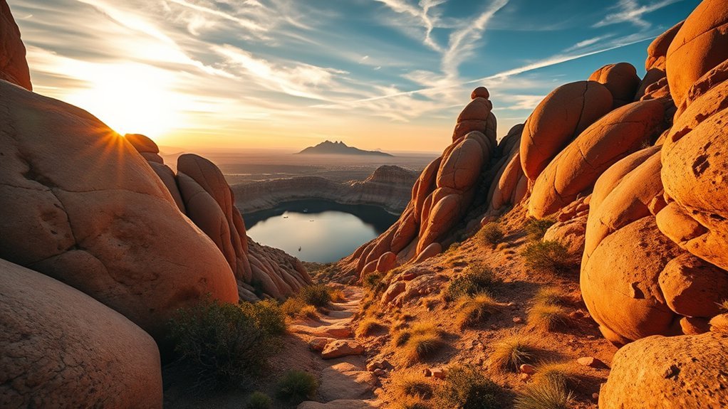
The Granite Dells do not require one specific “overlook” trail to deliver big views. Watson Lake, Willow Lake, Constellation Trails, and connecting city routes all provide access to the area’s sculpted granite landscape.
If you only have an hour, choose a signed trailhead and build a short out-and-back rather than searching for an unofficial overlook. That keeps navigation simple and reduces the chance of wandering onto private property or an unmarked rock route.
- Best photography: lower-angle morning and late-afternoon light emphasizes cracks, curves, and shadows in the granite.
- Footing: expect a mix of dirt trail and exposed rock depending on your chosen route.
- Navigation: use the City of Prescott trail map because the Dells contain many intersecting trails.
- Safety: avoid exposed slabs during thunderstorms and move cautiously when rock is wet or icy.
The City of Prescott describes a trail system of more than 100 miles, including the Dells trails around Watson and Willow Lakes.
Constellation Trails
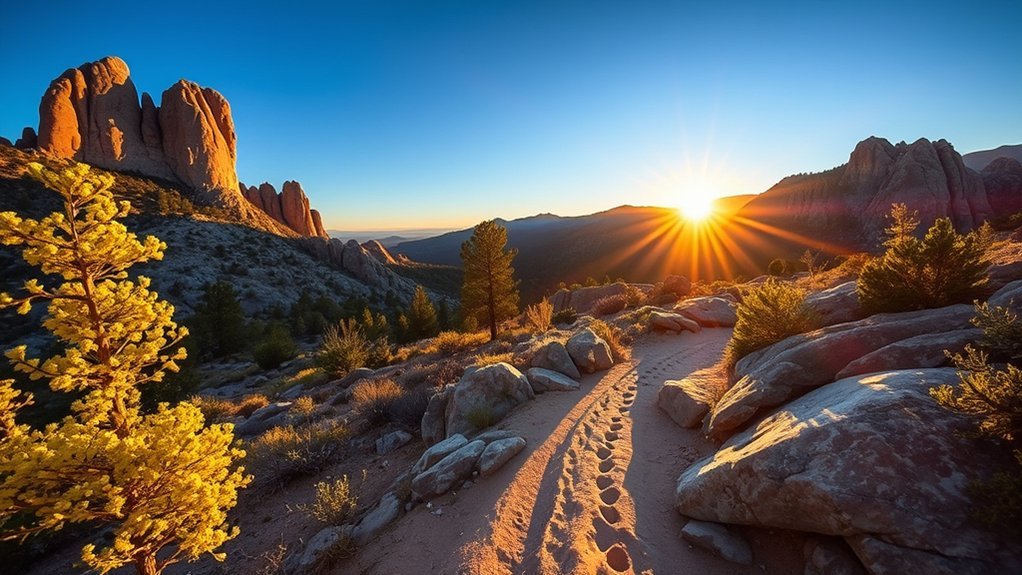
If you were looking for the “Castle Rock Loop” described in older or informal route lists, a better verified Prescott option is the Constellation Trails system. The City of Prescott recognizes Constellation Trailhead as one of its managed recreation locations, and the trail network gives you short, flexible routes through classic Granite Dells terrain.
Trail Length & Difficulty
Constellation is a network rather than a single fixed loop, so your total distance depends on the connectors you choose. That flexibility is useful when you want a scenic walk without committing to the much longer Granite Mountain hike.
- Effort: generally easy to moderate, depending on the exact route.
- Surface: dirt, rock, and granite sections.
- Route choice: use the current city map because several short trails intersect.
- Best use: photography, shorter hikes, and exploring the Dells without a full lake circuit.
Scenic Views & Granite Terrain
Expect rounded granite, narrow passages, scattered vegetation, and frequent changes in perspective as the trail winds through the Dells. Instead of looking for the basalt columns or fossil beds claimed in some informal descriptions, focus on the well-known granite landscape that defines this part of Prescott.
The rock can be rough enough to require careful foot placement even when the overall hike is short. Children and less-confident hikers may prefer the smoother trail alternatives when the marked route offers a choice.
Parking & Trailheads
Use the designated Constellation Trailhead rather than an informal roadside pullout. The City of Prescott currently includes Constellation among locations where a $5 daily parking fee applies, while Wednesdays are listed as free.
Current fee information is available on the City of Prescott Recreation Area Parking Passes page.
Mingus Mountain and North Mingus Trail #105
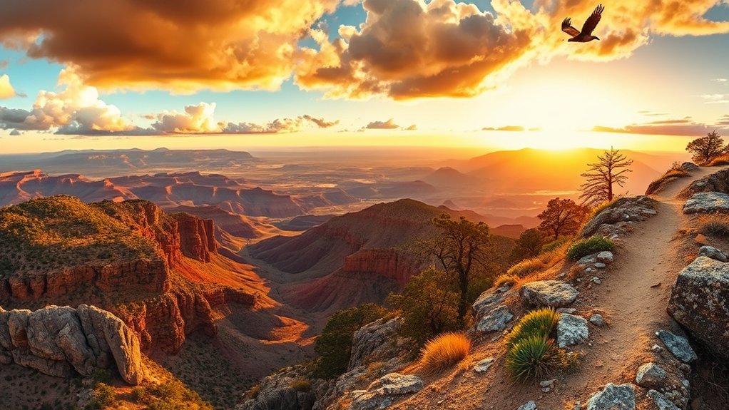
For a higher-elevation outing outside central Prescott, Mingus Mountain offers forest trails, picnic areas, campgrounds, and viewpoints over the Verde Valley. Instead of following an undefined “Mingus Mountain Ridgeline,” use a named Forest Service route such as North Mingus Trail #105 and its mapped connections.
The Forest Service describes North Mingus #105 as one of the popular trails serving the Mingus Mountain Recreation Area. Connected trails can be combined into an approximately four-mile loop, giving you a practical half-day option without relying on an unofficial ridge route.
Expect variable footing, forest shade mixed with open sections, and cooler or windier weather than downtown Prescott. Carry water and an offline map. Forest roads and trail access can also be affected by seasonal conditions or management work.
Check the Prescott National Forest Mingus Mountain page before driving up.
Sycamore Canyon Trail
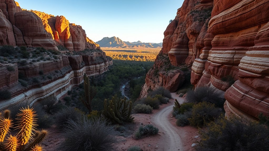
Sycamore Canyon Trail belongs in a different category from Prescott’s city lake walks. According to the Forest Service, the official trail is 2.0 miles long, beginning at Forest Road 9000P and ending at Forest Road 9004W near Perkins Ranch.
That forest-road access makes it a better choice for hikers comfortable with remote navigation and backcountry driving than for visitors seeking a quick trail minutes from downtown. Do not plan the outing around an assumed continuously flowing creek or developed trailhead amenities.
- Official trail length: 2.0 miles.
- Setting: remote Prescott National Forest country.
- Access: forest roads rather than a developed city trailhead.
- Preparation: carry water, navigation, and enough supplies to handle delays.
Review the Forest Service Sycamore Canyon Trail page before attempting the route.
Willow Lake Trails
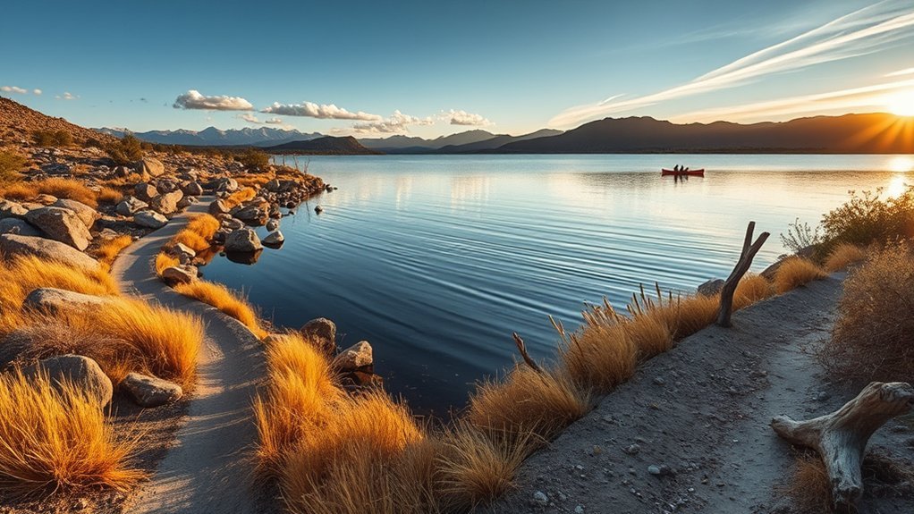
Willow Lake is useful when your group wants choices. The interconnected trails include relatively easy sections as well as more challenging routes through the Granite Dells, so it is more accurate to think of this as a trail network than one uniformly smooth gravel loop.
Start with the easier lakeside terrain if you want a relaxed walk. If you continue toward the granite formations, expect rougher rock, more careful footing, and short technical sections. This makes Willow Lake easy to customize without pretending the entire route has the same difficulty.
The City of Prescott Willow Lake page provides current hours, recreation information, and access details. Willow Lake is also one of the city locations covered by the current recreation parking-fee system.
Note: A route that begins as an easy lake walk can become substantially rougher once it enters the granite. Turn around before the terrain exceeds your group’s mobility, balance, or footwear.
Watson Woods Riparian Preserve Trail
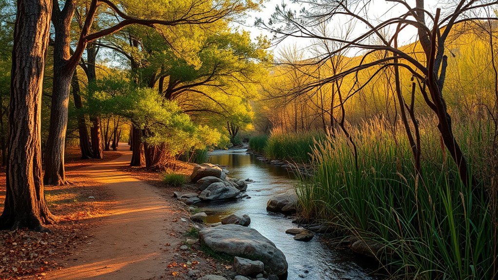
Watson Woods Riparian Preserve gives you a different side of Prescott from the exposed Granite Dells. The preserve protects a riparian corridor near Watson Lake and is especially appealing when your priority is birding, vegetation, and a quieter nature walk rather than elevation gain.
The City of Prescott specifically highlights Watson Woods as a nearby birdwatching destination and notes the area’s rich birdlife. Bring binoculars if wildlife is the reason for your visit, and move quietly around creekside vegetation.
Do not assume that every preserve trail is fully wheelchair or stroller accessible simply because the terrain appears flatter than Granite Mountain or Thumb Butte. Surface conditions can change with weather, runoff, maintenance, and vegetation. Use posted routes and protect restoration areas by remaining on established paths.
Peavine Trail
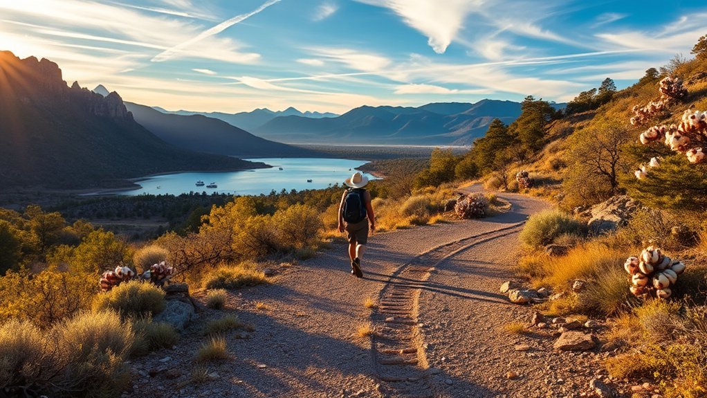
Peavine Trail follows a former railroad corridor and is one of Prescott’s best choices when you want a relatively gentle grade for walking, running, or biking. Near Watson Lake, the trail also gives you striking views of the Granite Dells without requiring constant scrambling over rock.
Unlike the original description, Peavine should not be treated as a mostly shaded trail. Much of the corridor is open, so sun protection and water matter even though the grade is easier than Granite Mountain or Thumb Butte.
Peavine is a shared-use route. Stay aware of cyclists and other users, keep to a predictable side of the trail, and avoid stopping across the full width of the path.
The City of Prescott identifies Peavine and Iron King as relatively flat trails near Watson Lake. For paid access, the city’s current parking system includes the Sundog Ranch Peavine Trailhead. Check the city’s current parking information before driving out.
Plan for Weather, Water, and Trail Conditions
Prescott’s mild reputation can hide how different conditions become between a lakeside trail, a shaded pine slope, and a higher mountain route. Prepare for the specific hike rather than packing one standard kit for every trail.
- Warm weather: begin early, carry adequate water, and protect exposed skin from the sun.
- Winter: expect shaded snow, ice, mud, and colder temperatures on higher trails.
- Rain: granite becomes slippery, while dirt trails may become muddy or vulnerable to damage.
- Remote routes: download maps before leaving cellular coverage and tell someone where you are going.
- Long hikes: turn around based on daylight, weather, water, and fatigue rather than forcing a planned destination.
Frequently Asked Questions
Are dogs allowed on all Prescott trails mentioned?
No. Rules depend on the managing agency and location. Prescott National Forest requires leashes in areas such as Granite Mountain Wilderness, and other recreation areas may have their own posted rules. Check the current trail page or trailhead signs and always remove pet waste.
What are typical winter conditions for these hikes?
Winter conditions can include snow, ice, mud, frozen shaded pavement, and strong wind, especially at higher elevations. Carry layers and traction when conditions warrant it, and avoid assuming a dry downtown street means a shaded mountain trail is also dry.
Are any of these trails wheelchair or stroller accessible?
Some developed areas and hard-surface trail segments are easier for strollers or mobility devices, but many routes in this guide include steep grades, loose surfaces, exposed granite, steps, or uneven rock. Do not assume an entire loop is accessible based on its first section; check the current City of Prescott accessibility and trail information for your chosen route.
Where are the nearest public restrooms or water refill stations?
Developed recreation areas such as Watson Lake have restrooms, while wilderness and remote trail facilities are much more limited. Granite Mountain Wilderness specifically has no potable water. Carry enough water for your full hike instead of planning around a refill point.
Do any trails require permits or fees to hike?
Most ordinary day hikes do not require a hiking permit, but parking or day-use fees apply at some developed recreation sites. The City of Prescott currently lists a $5 daily parking fee at Watson Lake, Willow Lake, Goldwater Lake, Constellation Trailhead, and Sundog Ranch Peavine Trailhead, with Wednesdays currently free.
What is the easiest scenic hike in Prescott?
Peavine is one of the easiest choices for steady mileage because it follows a relatively gentle railroad grade. Short routes at Watson Woods or selected sections near Watson and Willow Lakes can also work well when you want scenery without a sustained climb.
Which Prescott trail is best for a challenging hike?
Granite Mountain Trail #261 is the clearest choice in this guide for a demanding hike. The Forest Service rates the 4.1-mile one-way trail difficult, so completing it as an out-and-back is a substantially bigger commitment than Thumb Butte or the city lake trails.
Conclusion
Prescott works best when you choose the trail for the day you actually have. Pick Thumb Butte for a short climb, Granite Mountain for a serious wilderness hike, Watson or Willow Lake for flexible Granite Dells scenery, and Peavine when you want easier-grade mileage. Constellation Trails add short granite loops, while Mingus Mountain and Sycamore Canyon reward hikers willing to travel farther from downtown. Check current conditions, carry your own water, stay on mapped routes, and leave enough daylight for an unhurried return.
Sources
- USDA Forest Service — Prescott National Forest Trails — official trail listings, uses, and current route information.
- USDA Forest Service — Granite Mountain Trail #261 — official 4.1-mile one-way distance and difficult rating.
- USDA Forest Service — Granite Mountain Wilderness — wilderness rules, dog requirements, water availability, and operating information.
- USDA Forest Service — Sycamore Canyon Trail — official trail length and forest-road endpoints.
- City of Prescott — Watson Lake — facilities, parking, hiking, park hours, and no-swimming rule.
- City of Prescott — Recreation Area Parking Passes — current city parking fees and participating recreation sites.