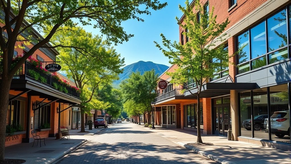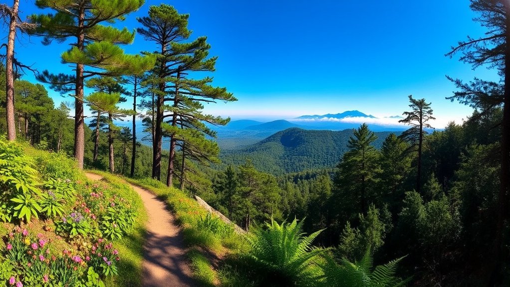
Russellville, Arkansas puts you within reach of everything from flat wetland paths to steep mountain climbs. For an easy local walk, Bona Dea Trails and Lake Dardanelle State Park are strong choices. If you want longer woodland routes, river-valley overlooks, or a serious climb, Mount Nebo, Petit Jean, and Mount Magazine offer several rewarding day hikes nearby.
Quick Answer
The best hikes near Russellville range from easy Bona Dea loops and Lake Dardanelle’s short Meadowbrook Trail to Mount Nebo’s scenic Rim Trail, Petit Jean’s 4.5-mile Seven Hollows loop, and Signal Hill at Arkansas’s highest point. Experienced hikers looking for a steep workout can tackle Mount Nebo’s strenuous Ox Pull Trail.
Key Takeaways
- Best easy local option: Bona Dea Trails offers hard-surfaced interconnected routes through a 186-acre wetland and woodland area in Russellville.
- Best short state-park hike: Lake Dardanelle’s Meadowbrook Self-Guided Trail is an easy 3/4-mile route that takes about 30 minutes.
- Best views near Russellville: Mount Nebo’s 3.5-mile Rim Trail is a moderate hike with overlooks across the Arkansas River Valley.
- Best geological scenery: Seven Hollows at Petit Jean features small canyons, a natural stone arch, rock shelters, and a box canyon.
- Hardest option here: Ox Pull at Mount Nebo is a strenuous 1.7-mile climb that rises from roughly 650 to 1,450 feet.
Best Hikes Near Russellville at a Glance
| Trail | Distance | Difficulty | Best For |
|---|---|---|---|
| Bona Dea Trails | Interconnected routes from about 1/2 mile to 6 miles | Easy options | Walking, jogging, wildlife watching |
| Meadowbrook Trail | 3/4 mile | Easy | Short family-friendly nature walk |
| Rim Trail | 3.5 miles | Moderate | Arkansas River Valley overlooks |
| Seven Hollows Trail | 4.5 miles | Moderate | Rock formations and forest scenery |
| Signal Hill Trail | 1.5 miles | Moderate | Reaching Arkansas’s highest point |
| Ox Pull Trail | 1.7 miles | Strenuous | Steep climbing and fitness |
Bona Dea Trails
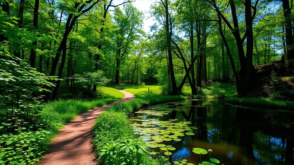
For an easy hike without leaving Russellville, Bona Dea Trails and Sanctuary is one of the most convenient choices. The trail system passes through 186 acres of wetland, water, and lowland forest in the Prairie Creek bottomlands.
The interconnected routes make it easy to adjust your walk to your schedule. Rabbit Run is 1 mile, Prairie Creek is 1.5 miles, Walden Way is 2.6 miles, and Serendipity Trail winds for 3.5 miles through the floodplain. Russellville’s official trail information also notes that the interconnected system allows outings ranging from roughly 1/2 mile to 6 miles.
Much of the system is hard-surfaced, making Bona Dea a practical option for walking and jogging. Benches and wildlife-viewing opportunities give you reasons to slow down, while cypress, water oak, sweet gum, and seasonal wildflowers add variety to the lowland scenery.
The eastern entrance is ADA accessible and has public restrooms and parking. Bona Dea also includes an 18-station exercise course for visitors who want to combine a walk with a fitness session.
Pro Tip: Choose Bona Dea when you want flexible mileage. The interconnected loops make it easier to shorten your walk than at a single long loop trail.
Lake Dardanelle State Park
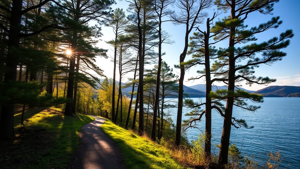
Lake Dardanelle State Park occupies two recreation areas on Lake Dardanelle, a 34,300-acre reservoir on the Arkansas River. The main Russellville site combines a short nature hike with a visitor center, fishing pier, swimming beach, boardwalk, camping, picnic facilities, and boating access.
For hiking, the main option is the Meadowbrook Self-Guided Trail. Arkansas State Parks rates this 3/4-mile route easy and estimates about 30 minutes of hiking time. It begins and ends near the amphitheater and focuses on plant succession, human influence on the environment, and trees and flowers of the Arkansas River Valley.
| Amenity | What to Expect |
|---|---|
| Meadowbrook Trail | Easy 3/4-mile self-guided nature trail |
| Camping Facilities | Campsites and year-round campground bathhouses |
| Water Access | Boat ramp, fishing access, boardwalk, and swimming beach |
| Visitor Center | Exhibits, aquariums, interpretive programs, and park information |
This is a better choice for a relaxed half-day outing than for a long wilderness hike. You can take a short walk, explore the visitor center, picnic by the lake, or combine hiking with fishing and other recreation.
Mount Nebo State Park
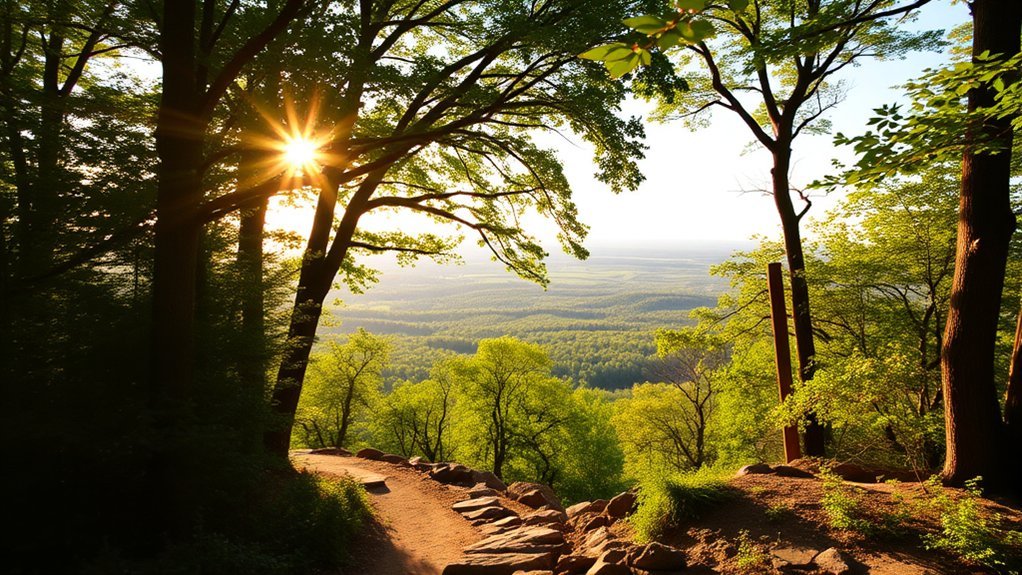
Mount Nebo State Park is the standout nearby choice when you want more elevation, longer trails, and Arkansas River Valley overlooks. Its trail network includes historic paths developed or improved by the Civilian Conservation Corps as well as modern Monument Trail routes for hikers and mountain bikers.
Warning: As of August 15, 2026, Arkansas State Parks reports that portions of Bench Road Trail and Miller’s Goat Trail are closed for repairs through September 30, 2026 because weather conditions made the area unstable. Check the official Mount Nebo park page before your trip because trail conditions and closures can change.
Scenic Rim Trail
The Rim Trail is a 3.5-mile moderate route that circles the mountaintop. Arkansas State Parks recommends allowing roughly two to three hours. The trail was originally blazed in the 1890s and was later developed by the Civilian Conservation Corps, which added stone steps and retaining walls during the 1930s.
Three reasons to choose the Rim Trail are:
- Arkansas River Valley views: Several overlooks open toward Lake Dardanelle and the surrounding valley.
- Historic trail construction: Native-stone work from the CCC era remains part of the route.
- Central location: The Rim Trail connects with several other Mount Nebo trails, making it useful for building a longer hike.
Although the mileage is moderate, do not treat it as a flat beginner stroll. Stone steps, natural surfaces, elevation changes, and weather can make the hike more demanding.
Strenuous Ox Pull
If you want a harder workout, the Ox Pull Trail is a strenuous 1.7-mile climb rising from roughly 650 feet to 1,450 feet. Hikers and runners can travel in either direction, while bicycles are allowed uphill only.
The steep grade demands more stamina than the mileage suggests. Wear shoes with reliable traction, carry water, and allow extra time if steep climbing is not part of your normal routine. Arkansas State Parks estimates about 45 minutes to 1.5 hours for hikers going uphill.
Diverse Trail Options
Mount Nebo has choices beyond Rim and Ox Pull, so you can match the route to your experience level and available time:
- Bench Trail: Officially listed as an easy 4-mile trail with about three hours of hiking time. It follows the wooded bench that wraps around the mountain and passes historic springs and Fern Lake. Check the current partial-closure notice before using it.
- Summit Park Trail: A historic route once used by guests of the Summit Park Hotel. It descends toward Fern Lake and intersects with Bench Trail.
- Nebo Springs/Nebo Steps Trail: A more strenuous historic route connecting the Rim Trail, Bench area, Nebo Steps, and moss-covered Nebo Springs.
These routes combine natural scenery with the history of Mount Nebo’s early resort era and the stonework left by the Civilian Conservation Corps.
Seven Hollows Trail
Seven Hollows Trail at Petit Jean State Park is a moderate 4.5-mile loop with an official estimated hiking time of about four hours. Instead of focusing mainly on broad overlooks, this route takes you through a dense hardwood forest and a series of small canyons.
Along the way, you can see a natural stone arch, rock shelters, a box canyon, and signs associated with prehistoric bluff-dwelling Native Americans. Light-blue blazes mark the route.
| Hiking Tips | Trail Features |
|---|---|
| Wear shoes with good traction | Small forested canyons |
| Carry enough water for several hours | Natural stone arch |
| Check weather before leaving | Rock shelters |
| Allow roughly four hours | Box canyon |
| Stay on the marked route | Signs of prehistoric inhabitants |
Seven Hollows is a good choice when you want a longer forest hike with unusual rock formations rather than a short overlook walk.
Signal Hill Trail
The Signal Hill Trail at Mount Magazine State Park is a 1.5-mile moderate hike leading to Arkansas’s highest point, 2,753 feet above mean sea level. Arkansas State Parks lists about two hours of hiking time.
The route is a well-groomed forest walk connecting the Cameron Bluff Campground area with Mossback Ridge Trail and the Lodge at Mount Magazine. The destination is important for its elevation rather than for an exposed summit panorama.
Trail Features
Signal Hill combines a relatively short distance with a meaningful destination. Highlights include:
- Arkansas’s highest point: Signal Hill reaches 2,753 feet above mean sea level.
- Stone map: A roughly 400-square-foot stone map of Arkansas marks the high point.
- Forest environment: A variety of plants and shaded woodland make the route an enjoyable nature walk.
- Connections: The trail links with other Mount Magazine routes, making it possible to extend your hike.
Scenic Views and Summit Experience
Signal Hill is better understood as a forest hike to a geographic landmark than as a wide-open summit viewpoint. Trees surround much of the high point itself, while other areas of Mount Magazine provide the park’s broader mountain and valley vistas.
That makes Signal Hill a good choice if reaching Arkansas’s highest natural point is part of your goal. The stone state map provides a memorable finish and makes the destination easy to recognize.
Rim Trail: Route Details and History
The Rim Trail at Mount Nebo deserves extra consideration because it combines a moderate hike with several of the park’s defining features. The 3.5-mile route circles the mountaintop and connects with much of Mount Nebo’s wider trail system.
The trail’s history stretches back to the 1890s. Civilian Conservation Corps crews later improved it with native-stone steps and retaining walls during the 1930s. Those features remain visible as you move between wooded sections and Arkansas River Valley overlooks.
Expect approximately two to three hours of hiking under normal conditions. The trail is open subject to park conditions, weather, maintenance, and temporary closures, so checking the current park page before driving to Mount Nebo is worthwhile.
Note: The Rim Trail is officially rated moderate. Its stone steps, natural surfaces, and elevation changes make the official difficulty rating more useful than judging the trail by mileage alone.
Ox Pull Trail: Direction Rules and Safety
The Ox Pull Trail is short on mileage but high in effort. The strenuous 1.7-mile route climbs from around 650 feet to approximately 1,450 feet, giving hikers a sustained uphill workout.
For hikers and runners, traffic is allowed in both directions. Mountain bikers must ride the route uphill only. That direction rule is important because Ox Pull is part of Mount Nebo’s Monument Trail system and is used by more than one type of visitor.
The route offers a way to climb the mountain away from automobile traffic, but steep grades still demand attention. Control your pace, stay aware of other trail users, and do not underestimate the climb simply because it is less than two miles long.
Which Russellville-Area Hike Is Best for You?
- Choose Bona Dea if you want an easy, flexible walk in Russellville with hard-surfaced routes, wetlands, wildlife, restrooms, and accessible entry.
- Choose Lake Dardanelle if you want a short nature trail that can be combined with a visitor center, picnic, fishing, or time beside the lake.
- Choose Mount Nebo’s Rim Trail if overlooks and historic stonework matter more than an easy walking surface.
- Choose Seven Hollows if you want several hours in the forest with canyons, rock shelters, and unusual geological features.
- Choose Signal Hill if your goal is to stand at Arkansas’s highest natural point.
- Choose Ox Pull if you specifically want a strenuous climb rather than a relaxed sightseeing hike.
Planning, Weather, and Trail Safety
Conditions can change quickly enough that trail preparation matters even on a day hike. Check the official park or trail page before leaving Russellville, especially after heavy rain, storms, or maintenance announcements.
The National Park Service’s outdoor weather guidance recommends checking seasonal conditions and adjusting your timing when excessive heat or thunderstorms are possible. In warm weather, an early start can reduce exposure to the hottest part of the day.
Warning: Do not continue onto exposed terrain when thunderstorms threaten. If you hear thunder, move toward a substantial building or hard-topped vehicle rather than sheltering beneath an isolated tree or rock overhang.
For a typical day hike, carry drinking water, snacks, a charged phone, sun protection, and clothing appropriate for changing conditions. Wear footwear suited to the trail surface. A paved Bona Dea loop demands less traction than the rocky and steep sections you may encounter at Mount Nebo or Petit Jean.
Pro Tip: Save an official trail map or screenshot before leaving reliable cell service. Trail intersections at parks with larger networks can make a downloaded map more useful than relying on reception.
Accessibility, Restrooms, Pets, and Fees
Accessibility: Bona Dea’s eastern entrance is ADA accessible, and its hard-surfaced routes make it the strongest option in this list for visitors seeking a smoother walking surface. Individual state-park trails vary, so check the official accessibility information before your trip.
Restrooms: Bona Dea’s eastern entrance has public restrooms. Lake Dardanelle and Mount Nebo also have established visitor or campground facilities, but you should not expect restrooms along the middle of backcountry-style hiking routes such as Seven Hollows.
Pets: Pet rules vary by park and area. Arkansas State Parks specifically identifies Lake Dardanelle’s Meadowbrook Trail as pet-friendly and requires dogs to remain leashed and under direct physical control. Check the current rules for your selected park before bringing a pet.
Fees: Entry to Arkansas State Parks is free. Optional services such as camping, lodging, swimming pools, equipment rentals, or reserved facilities may have separate charges. Bona Dea is managed separately from the state-park system, so review current local information if you need details about a specific facility or event.
Frequently Asked Questions
Are there fees to access these hiking trails?
Arkansas State Parks have free general entry, so you do not need a park admission ticket simply to hike Rim Trail, Seven Hollows, Signal Hill, or Meadowbrook. Camping, lodging, pools, rentals, and some other services can cost extra. Check current local information for Bona Dea facilities.
What is the best time of year to hike near Russellville?
Spring and fall are popular choices because you can enjoy seasonal vegetation and often avoid the strongest summer heat. Hiking is possible in other seasons, but always check the current forecast, trail conditions, daylight, and park alerts before leaving.
Are pets allowed on the trails?
Pet policies depend on the park and trail. Lake Dardanelle’s Meadowbrook Trail is pet-friendly, and dogs in Arkansas State Parks must be leashed and under direct physical control. Verify the rules for the exact trail you plan to use, especially where trails have specialized uses.
Can I find restrooms along the hiking routes?
Restrooms are more commonly located near entrances, visitor centers, campgrounds, or day-use areas than along the trails themselves. Bona Dea’s eastern entrance has public restrooms, and Lake Dardanelle and Mount Nebo have established park facilities. Plan restroom stops before beginning longer routes.
What should I bring for a day hike?
Bring drinking water, snacks, sun protection, weather-appropriate clothing, a charged phone, and a trail map. Wear shoes suited to the terrain. Longer or steeper routes such as Seven Hollows, Rim Trail, and Ox Pull require more preparation than a short paved or hard-surfaced walk.
What is the easiest hike near Russellville?
Bona Dea is the most flexible easy option because its interconnected hard-surfaced routes let you choose a short walk. Lake Dardanelle’s easy 3/4-mile Meadowbrook Trail is another good choice for a short outing.
Which hike is the most challenging?
Ox Pull at Mount Nebo is the most strenuous route covered here. It climbs from roughly 650 to 1,450 feet over 1.7 miles. Hikers can travel in either direction, but mountain bikes are permitted uphill only.
Which trail is best for scenic overlooks?
Mount Nebo’s Rim Trail is the strongest choice in this group for Arkansas River Valley overlooks. Signal Hill is important because it reaches Arkansas’s highest point, but the high point itself is a wooded destination rather than an exposed panoramic summit.
Conclusion
The best hikes near Russellville cover a surprisingly wide range of experiences. Stay close to town for an easy walk through Bona Dea or a short nature hike at Lake Dardanelle. Head to Mount Nebo for the moderate Rim Trail or the strenuous Ox Pull climb, explore the canyons and rock formations of Seven Hollows at Petit Jean, or hike Signal Hill to reach Arkansas’s highest point.
Whichever trail you choose, match the route to your fitness level, check current park alerts and weather, carry enough water, and give yourself enough daylight to finish comfortably. With a little planning, you can choose a Russellville-area hike based on the experience you actually want rather than simply picking the longest trail.
Sources
- Discover Russellville: Bona Dea Trail — trail-system acreage, route lengths, ADA access, restrooms, and fitness stations.
- Arkansas State Parks: Lake Dardanelle State Park — reservoir size, park facilities, camping, swimming, visitor center, and trail information.
- Arkansas State Parks: Mount Nebo State Park — current park information, trail network, facilities, and 2026 closure notice.
- Arkansas State Parks: Seven Hollows Trail — official distance, difficulty, hiking time, trail features, and blaze color.
- Arkansas State Parks: Signal Hill Trail — official distance, difficulty, hiking time, elevation, and stone map.
- National Park Service: Severe Weather Safety — outdoor weather, heat, timing, and thunderstorm planning guidance.