Page, Arizona packs an unusual amount of scenery into a small area. You can walk through Navajo-guided slot canyons, look 1,000 feet down on the Colorado River at Horseshoe Bend, boat or kayak beneath Lake Powell’s sandstone walls, hike quiet desert trails, and use the town as a base for Lees Ferry and Vermilion Cliffs. The best trip combines a few headline sights with enough time for changing weather, lake conditions, and the slower desert stops between them.
Quick Answer
The best things to do in Page, Arizona are touring Antelope Canyon with an authorized Navajo guide, walking to Horseshoe Bend, getting onto Lake Powell, visiting Glen Canyon Dam, hiking Hanging Garden or part of the Rim View Trail, and taking a day trip to Lees Ferry, Navajo Bridge, or Vermilion Cliffs.
Key Takeaways
- Reserve Antelope Canyon before your trip. Guided access is mandatory, and popular tour times can fill early.
- Horseshoe Bend is a 1.5-mile round-trip walk with little shade and a separate City of Page parking fee.
- Check current Lake Powell water levels, launch ramps, marina services, and boat access before planning a water day.
- Page and the Navajo Nation can use different clock times during daylight saving time, so confirm the time zone on every tour reservation.
- Spring and fall are generally the easiest seasons for hiking; summer requires serious heat and flash-flood awareness.
Warning: Desert heat, exposed cliffs, sudden thunderstorms, flash floods, cold water, and limited cell coverage are real hazards around Page. The National Park Service recommends avoiding the hottest part of the day, carrying ample drinking water, and never entering washes or canyons when flash flooding is possible. Check weather and land-manager alerts before every hike or boating day.
Plan Your Page, Arizona Trip Before You Book
A little planning prevents most Page travel problems. Antelope Canyon is on Navajo Nation land, and access to the famous Upper and Lower sections requires an authorized guide. Use the Navajo Nation Parks & Recreation tour-operator list rather than assuming you can arrive and hike independently. The tribal park currently lists an entry fee in addition to guided-tour costs, although some operators may bundle fees into the price.
Horseshoe Bend is self-guided, but its parking area is operated by the City of Page. Passenger-vehicle parking is currently $10, and federal recreation passes do not cover that city parking fee. The trail itself lies in Glen Canyon National Recreation Area.
If Lake Powell is part of your trip, check the NPS Changing Lake Levels page shortly before you go. Reservoir elevation can change which ramps, docks, beaches, and marina services are practical to use.
Note: Page follows Arizona Mountain Standard Time year-round, while the Navajo Nation observes daylight saving time. During the daylight-saving season, a Navajo Nation tour may use a clock one hour ahead of Page. Follow the exact time zone and check-in instructions on your operator’s confirmation rather than relying only on your phone’s automatic clock.
Best Time to Visit Page, Arizona
Spring and fall are usually the easiest seasons for combining hikes, overlooks, and Lake Powell because daytime conditions are less punishing than midsummer. These seasons still require sun protection and plenty of water, and windy days are common.
Summer gives you long days and strong demand for boating and canyon tours, but exposed trails can become dangerously hot. Afternoon thunderstorms can also create flash-flood risk in slot canyons and washes even when the immediate trailhead looks dry.
Winter brings cooler hiking conditions, lower-angle light, and often fewer visitors. Some water-based services and seasonal facilities can be reduced, and cold mornings require layers.
How Many Days Do You Need in Page?
| Time | Good Plan |
|---|---|
| 1 day | Antelope Canyon, Horseshoe Bend, and one Lake Powell or Glen Canyon viewpoint. |
| 2 days | Add a Lake Powell boat/kayak outing, Hanging Garden, Carl Hayden Visitor Center, or Rim View Trail. |
| 3 days | Add Lees Ferry and Navajo Bridge, Vermilion Cliffs, a longer water day, or another authorized slot-canyon tour. |
Pro Tip: Build your day around the attraction with a fixed reservation first, usually Antelope Canyon. Horseshoe Bend, viewpoints, visitor centers, and many short hikes are easier to fit around a scheduled canyon tour.
Antelope Canyon (Upper and Lower)
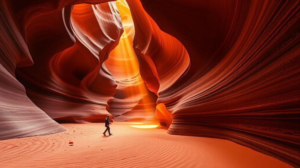
Antelope Canyon is Page’s signature guided experience. Its Navajo sandstone walls twist into smooth curves where reflected light can shift from orange and gold to deep red and violet. The famous Upper and Lower sections are on Navajo Nation land, and authorized guides are mandatory.
Upper Antelope Canyon is generally the easier walking experience, with a wider floor and fewer tight stair sections. Direct light shafts can appear when the sun angle and weather align, but they are seasonal and never guaranteed.
Lower Antelope Canyon is narrower and uses stairways and ladders as the route moves through tighter passages. Travelers with mobility limitations, significant claustrophobia, or difficulty with stairs should check the operator’s accessibility requirements before booking.
Camera rules vary by operator. Standard sightseeing tours may restrict tripods, bags, selfie sticks, or other equipment, so read your specific tour policy rather than packing for a traditional photo workshop. Closed-toe shoes, water for before and after the tour, and enough arrival time for check-in are more useful than extra gear.
Because these are flood-carved slot canyons, tours can close when weather creates unsafe conditions. Follow your guide immediately if a tour is delayed, shortened, or canceled.
Horseshoe Bend Overlook
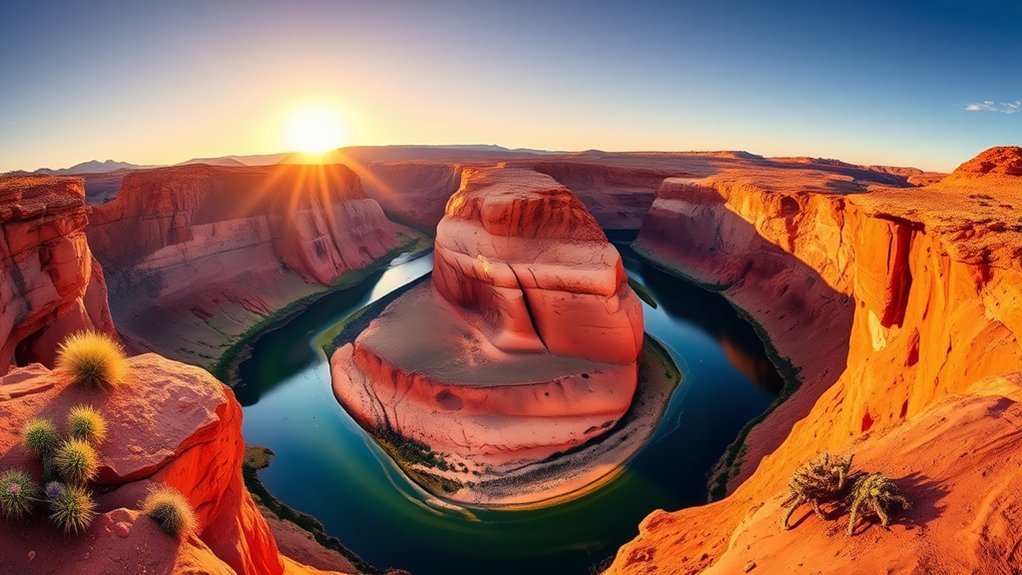
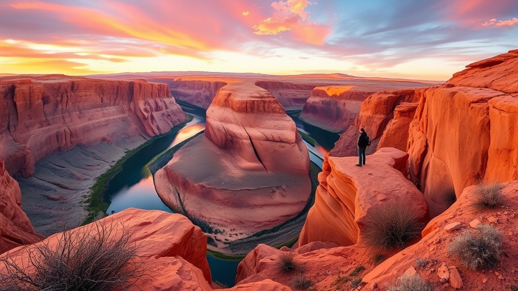
Horseshoe Bend is one of the easiest major landscapes to reach from Page. The Colorado River makes a dramatic 270-degree bend below sandstone cliffs, and the overlook is only about five miles south of town.
The NPS lists the walk at 1.5 miles round trip on a hardened, accessible route. There are shade structures along the trail, but very little shade overall and no water on the route. The official viewing platform has railing, while large portions of the surrounding rim remain exposed.
Best Time to Visit
Early morning is usually the most comfortable choice in warm weather. Late afternoon can produce richer cliff color, but sunset attracts visitors and requires careful timing because the City of Page parking area operates on limited daily hours.
Midday gives a more overhead view into the canyon but can be brutally hot during warmer months. If heat is severe, choose another time rather than treating the short distance as an easy summer walk.
How to Get There
The parking area is off US Highway 89 about five miles south of Page. The National Park Service Horseshoe Bend page provides current trail and safety information, while the City of Page operates the parking area and sets parking fees.
As of 2026, standard passenger-vehicle parking is $10. America the Beautiful and other NPS passes do not cover this fee because the parking lot is city-operated.
Safety and Viewpoints
Do not confuse the railing at the main viewing platform with a fully protected rim. Much of Horseshoe Bend still has an open cliff edge and a drop of roughly 1,000 feet. Keep children and pets under direct control and stay well back from unprotected edges.
Wear shoes with grip, use the established trail, carry water, and secure hats or loose items in strong wind. Avoid scrambling onto isolated ledges for a slightly different camera angle.
Lake Powell Boat Tour
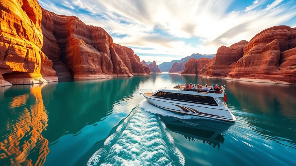
A boat trip reveals a side of the Page landscape that road overlooks cannot. Lake Powell threads between sandstone walls, side canyons, coves, and broad open water, creating constantly changing views as you move away from the marinas.
You can choose an authorized guided cruise when available, rent a suitable boat, or join a smaller water excursion. Availability, launch locations, and routes change with reservoir elevation, so confirm current operations rather than relying on an older itinerary.
Bring sun protection, water, layers for wind, and a secure dry place for electronics. Even on a warm day, weather and wind can change quickly on exposed water.
Before leaving the dock, review the NPS Lake Powell boating guidance and current ramp status. The shoreline can look very different from older maps and photographs when lake elevation changes.
Glen Canyon National Recreation Area
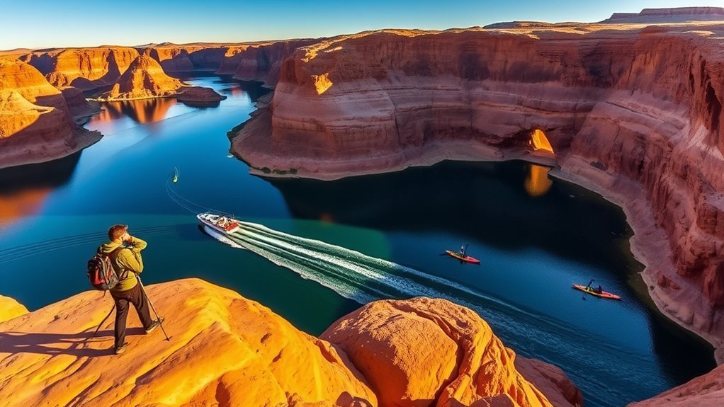
Glen Canyon National Recreation Area surrounds much of the Page experience, including Lake Powell, Horseshoe Bend, Glen Canyon Dam viewpoints, shoreline recreation, and many nearby hikes. It covers a huge desert-and-water landscape, so think of Page as one convenient base rather than the recreation area as a single attraction.
Lake Powell Boating
Powerboats, paddlecraft, and houseboats can reach coves and side canyons that are invisible from the highway. Your exact options depend on water level, ramp condition, rental availability, wind, and your experience.
Do not launch without checking the latest conditions. NPS specifically warns that changing lake levels can affect ramp usability, docks, parking, and congestion. Life jackets, a navigation plan, enough fuel or battery capacity, and more drinking water than you expect to need are basic essentials.
Antelope Canyon Access
Lake Powell has a water-access arm commonly called Antelope Canyon, and kayakers may explore portions that are reachable from the reservoir when conditions permit. This is not the same access as walking through Upper or Lower Antelope Canyon on Navajo Nation land.
Paddling into a side canyon does not give you permission to cross into restricted tribal areas. Upper and Lower Antelope Canyon remain guided-tour destinations, and Navajo Nation rules apply once you are on tribal land.
Rainbow Bridge National Monument
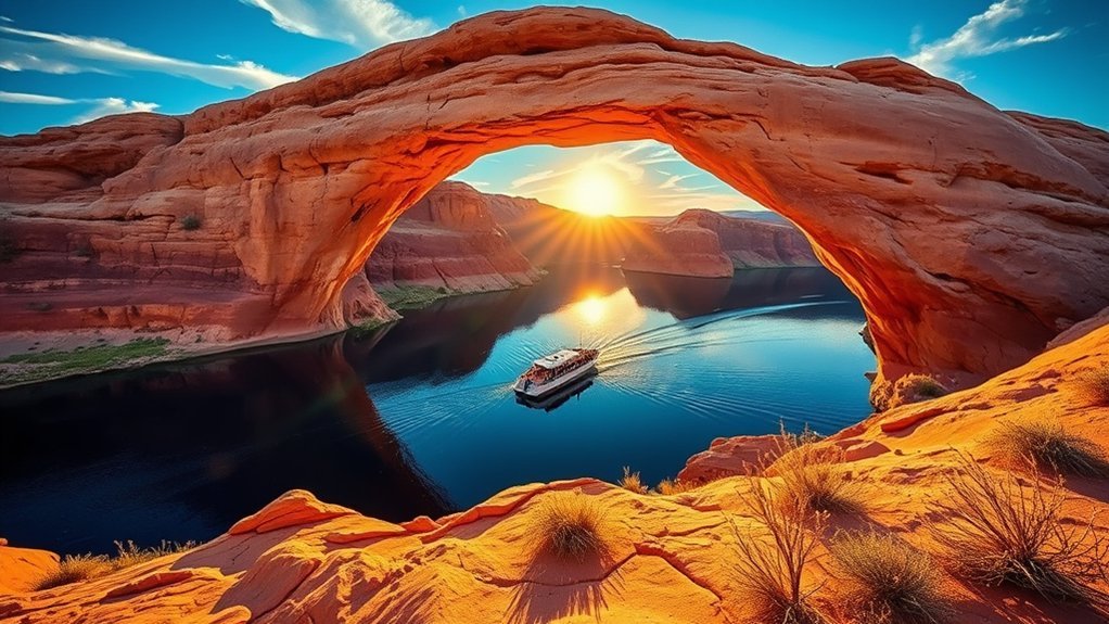
Rainbow Bridge National Monument protects one of the world’s largest known natural bridges. NPS measures it at about 290 feet from base to top, with a span of about 275 feet. It stands over Bridge Creek rather than directly over the Colorado River.
Rainbow Bridge rises about 290 feet from its base to the top of its arch and spans roughly 275 feet across Bridge Creek.
The monument is remote. Visitors reach it by boat plus a walk whose length varies with lake level, or by a long backcountry route across Navajo Nation lands that requires tribal permission. There is no road to Rainbow Bridge.
Low reservoir levels can significantly change boat access. The NPS Rainbow Bridge page currently warns that the courtesy dock may not connect directly to land, so check conditions immediately before planning the trip.
Rainbow Bridge is sacred to several neighboring Native American tribes. NPS asks visitors to respect that significance and use designated viewing areas and trails rather than treating the bridge as a climbing or scrambling destination.
Navajo Cultural Experiences and Respectful Visiting
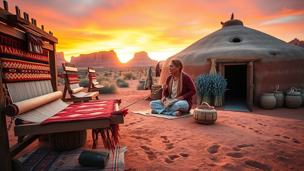
Older Page guides may mention the Navajo Village Heritage Center, but its current operating status is not reliably confirmed, so do not build your itinerary around that specific attraction without verifying it first.
You can still make Navajo culture a meaningful part of your Page visit. Antelope Canyon tours are led by authorized Navajo guides who can explain the landscape, local terminology, safety practices, and cultural context. Cultural programs, performances, demonstrations, and artist events may also be offered seasonally by local businesses and community organizations.
Listen to what your guide chooses to share, ask before photographing people, and never assume that archaeological sites, ceremonial knowledge, or private land are open for exploration simply because they are visible from a road.
If you buy Navajo jewelry, weaving, pottery, or other Native art, ask who made it and the artist’s tribal affiliation. The U.S. Department of the Interior’s Indian Arts and Crafts Board recommends requesting clear authenticity information and a detailed receipt.
Slot Canyon Photography Tour
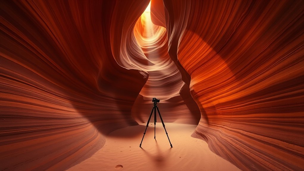
Page’s slot canyons reward careful photography, but the best light depends on the specific canyon, season, weather, and tour time. High-angle sunlight can create dramatic beams in some chambers, while softer reflected light often reveals more texture and color than direct sun.
Best Light Times
Do not assume that “golden hour” is automatically best inside a slot canyon. The narrow openings overhead mean a canyon may receive its strongest direct light much closer to midday. Your tour operator knows the typical seasonal light pattern for that specific canyon and is the best source for booking advice.
Early or late tours can still produce beautiful reflected color and may feel less visually harsh. Clouds remove dramatic beams but often create even light that is easier to expose.
Camera Gear Tips
A wide-angle lens is useful in narrow passages, while a normal zoom helps isolate curves and sandstone details. Shoot RAW if you edit your images later because the difference between bright openings and dark walls can be large.
Check your operator’s gear rules before bringing a tripod. Many standard tours restrict tripods and bulky equipment. A lens cloth is genuinely useful because fine sand can settle on camera glass quickly.
Keep your equipment compact, protect it from blowing sand, and never delay the group or step into restricted areas for a composition.
Rim View Trail (Page Loop)
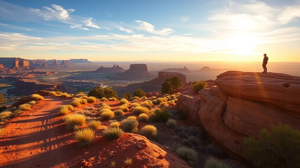
The Rim View Trail, also called the Page Loop, circles Manson Mesa around Page. The complete loop is roughly 10 miles, so it is more substantial than a quick overlook walk.
You do not need to hike the whole route. Multiple access points make short out-and-back walks practical, and these partial hikes still give you broad views toward Lake Powell, Navajo Mountain, nearby buttes, and the desert around town.
The route is exposed, with little reliable shade. Start early in warm weather, carry enough water, and remember that a ten-mile desert loop requires much more preparation than the modest elevation changes might suggest.
- Choose a short section for sunrise or evening light if you only have an hour.
- Allow several hours and carry more water for the complete loop.
- Expect hikers, runners, and mountain bikers.
- Stay on established tread to reduce damage to fragile desert soils.
Hanging Garden Trail
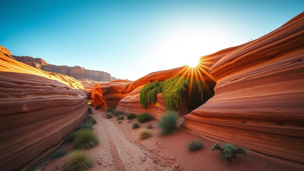
The Hanging Garden Trail leads across exposed Navajo sandstone to a spring-fed plant community tucked against the rock. The contrast between green vegetation and surrounding desert is the attraction, not a large waterfall.
Trail Overview and Access
NPS currently lists the route at about 1.5 miles round trip. The trailhead is near Highway 89 east of Glen Canyon Bridge, with parking reached by a short access road.
The hike crosses slickrock, sand, and uneven desert terrain with little shade before reaching the cooler garden. Bring water even though the hike is short. The spring and vegetation are environmentally sensitive, so stay on the established route and do not step into the garden itself.
Best Viewing Spots
The best viewing is from the established approach where you can see the vegetation clustered beneath the sandstone alcove. Look for maidenhair ferns and other plants sustained by seep water escaping from the rock.
Move slowly and photograph from durable surfaces. A hanging garden can look resilient, but trampling soil and roots can damage the small wet habitat that supports it.
Wahweap Overlook
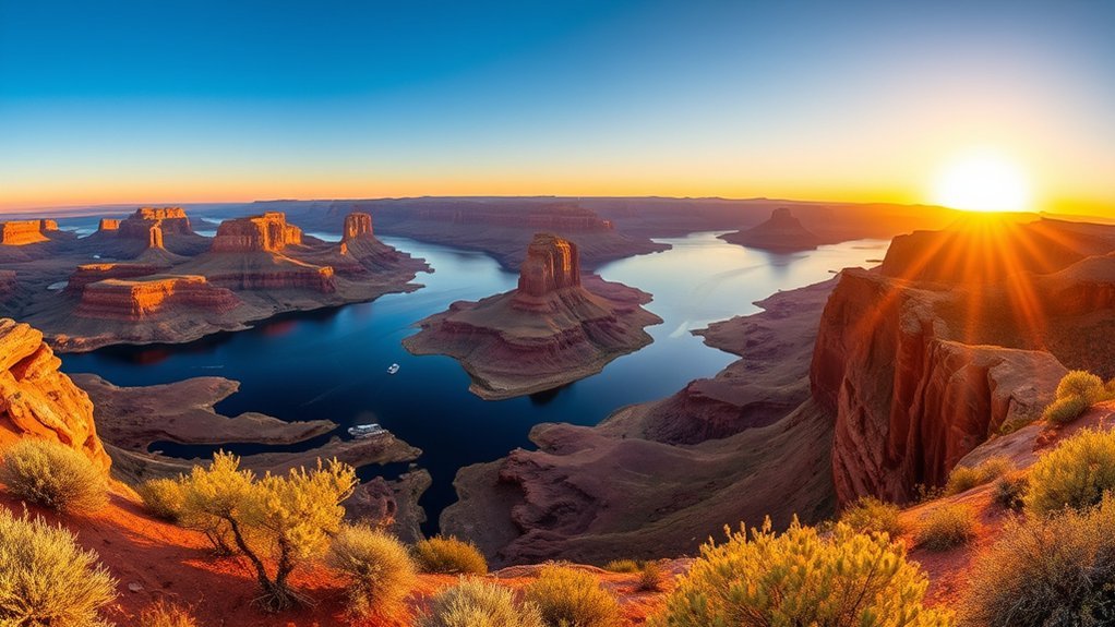
Wahweap Overlook is one of the easiest places near Page to understand the scale of Lake Powell without committing to a hike or boat trip. From the high roadside viewpoint you can scan the reservoir, Wahweap area, distant mesas, and changing shoreline.
There is no need to invent a long trail here. The main value is the broad panorama and easy access. Sunrise and late-afternoon light add depth to the rock, while clear mornings are often best for distant views.
- Best for: quick views, families, photographers, and first-time visitors.
- Time needed: roughly 15 to 30 minutes for most people.
- Bring: water, sun protection, and binoculars if you enjoy scanning distant cliffs.
Lone Rock Beach and Recreation Area
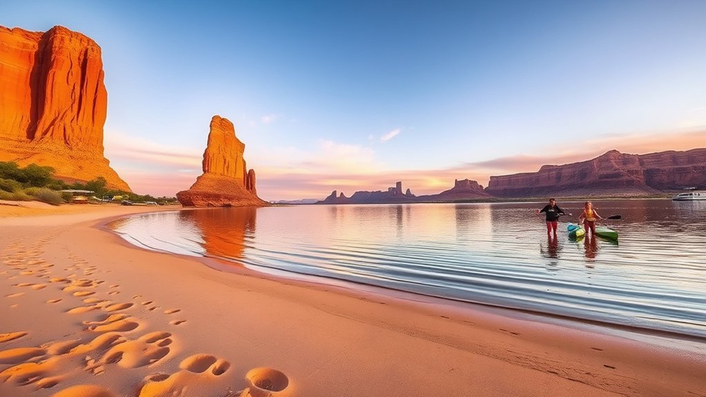
Lone Rock Beach is a broad, primitive recreation area near the Arizona-Utah state line. The isolated sandstone monolith gives the beach its name, while changing reservoir levels continually reshape how much sand, shoreline, and water access you find.
You can camp, launch paddlecraft from suitable shoreline areas, swim when conditions are safe, or simply spend a few hours by the water. Entrance and camping fees apply.
The area remains primitive even when seasonal facilities are operating. NPS notes that restrooms, showers, water-related services, and other facilities can vary by season and operational status. Sandy access roads can also trap unsuitable vehicles, especially close to the water.
There are no lifeguards. Check water-quality advisories, wear appropriate life jackets, protect bare feet from hot sand and sharp objects, and never drive farther onto soft sand than your vehicle can safely handle.
Scenic Drive to Navajo Bridge and Lees Ferry
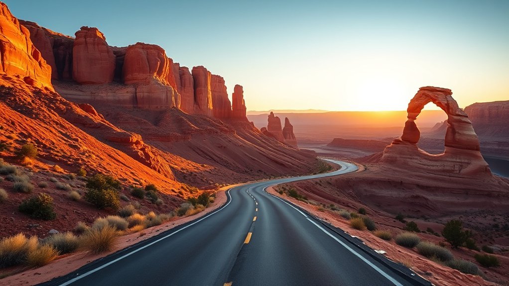
Rather than searching for a vaguely defined “Navajo Nation Scenic Drive,” use a real, easy-to-follow route: drive south from Page on US 89, continue onto US 89A, and stop at Navajo Bridge before descending toward Lees Ferry.
The drive moves through broad desert basins, colorful cliffs, and open views toward the Vermilion Cliffs. Navajo Bridge gives you a dramatic look into Marble Canyon and is a natural stop before Lees Ferry.
Use legal pullouts only. Much of the wider region includes tribal, federal, state, and private lands with different access rules. A visible dirt road, grazing area, rock-art panel, or overlook is not automatically public access.
- Stop at Navajo Bridge for canyon views.
- Continue to Lees Ferry for Colorado River access and historic sites.
- Allow extra time for photography and short walks.
- Do not enter signed tribal or private areas without permission.
Vermilion Cliffs National Monument, Including Paria Canyon
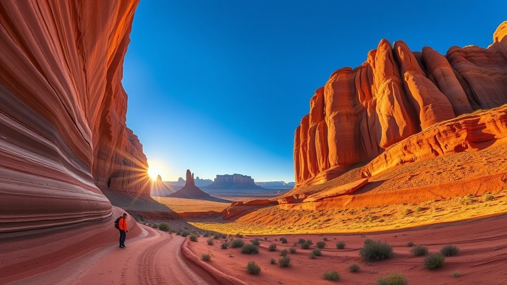
Vermilion Cliffs National Monument is a remote BLM landscape west of Page containing the Paria Plateau, Paria Canyon, Coyote Buttes, rugged desert roads, and enormous cliff faces.
This is not a casual roadside attraction once you leave the main highways. Roads can cross deep sand and rough terrain, cell service can disappear, and summer heat is severe. Some destinations require high-clearance four-wheel-drive vehicles and strong navigation skills.
Permits matter. Paria Canyon day use requires a permit, overnight use requires an advance permit, and Coyote Buttes North and South use separate limited permit systems. Review the BLM Paria Canyon permit information before choosing a route.
Stay off biological soil crusts, carry navigation tools, and do not depend on cell service. If your goal is simply to see the cliffs, the paved US 89A corridor provides dramatic views without committing to remote backcountry travel.
Horseshoe Bend at Sunset
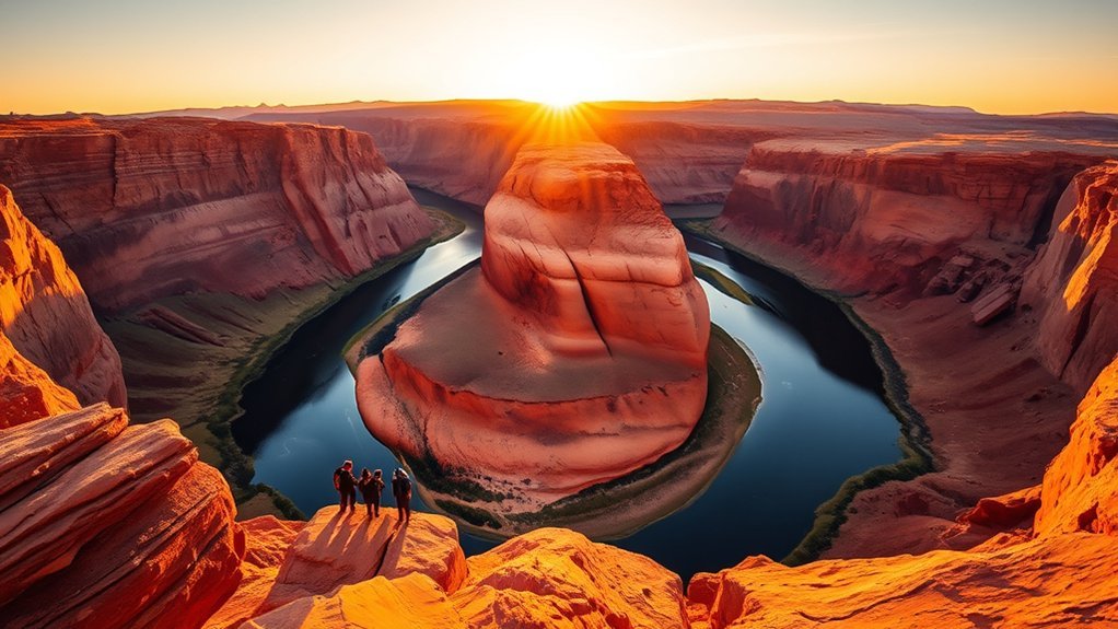
Horseshoe Bend deserves a separate sunset note because evening changes both the view and the logistics. Warm light can intensify the sandstone while the Colorado River drops into shadow, but sunset is also a popular time to visit.
Arrive early enough to park, walk the 0.75 mile to the rim, find a safe position, and return before the parking area closes. Do not assume that you can remain indefinitely after sunset or arrive through the lot before official opening hours.
- Bring water even for an evening visit.
- Carry a small light in case the return walk becomes dim.
- Stay away from unguarded edges while watching the sky.
- Check current City of Page parking hours before your visit.
Lees Ferry Historic District River Trail
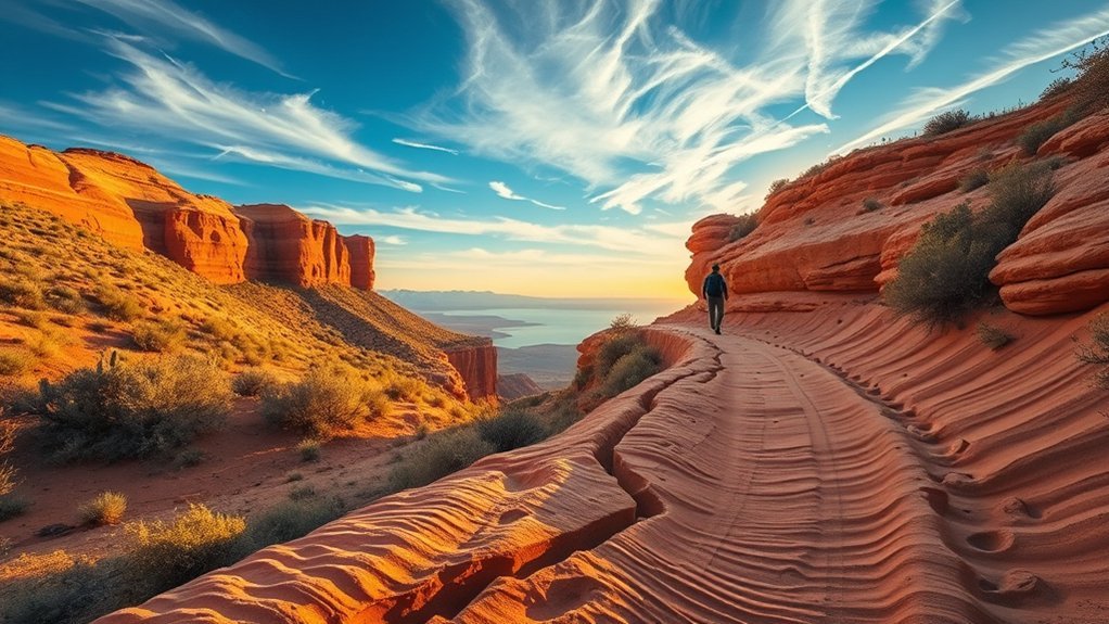
The original “Goulding’s Ferry Trail” description does not match the current NPS trail inventory. A better verified option is the River Trail through the Lees Ferry Historic District.
The trail follows the Colorado River near the old ferry crossing and passes historic stone buildings and interpretive sites. NPS currently lists the River Trail at about 3 miles round trip, with a mix of gravel, rock, and sand and little shade.
This is a good choice if you want history and river views without the steep climb of Spencer Trail. Carry water, avoid the hottest part of summer days, and leave archaeological and historic materials exactly where you find them.
| Feature | What to Expect | Tip |
|---|---|---|
| Terrain | Gravel, rock, sand | Wear sturdy shoes |
| Views | Colorado River and canyon walls | Go early in warm weather |
| History | Old crossing and historic structures | Use interpretive signs |
Carl Hayden Visitor Center and Glen Canyon Dam View
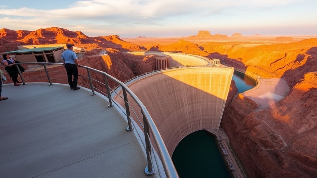
The Carl Hayden Visitor Center is the best place near Page to understand Glen Canyon Dam, regional water use, Lake Powell, and the surrounding recreation area. Large windows overlook the dam and canyon, while exhibits add context to what you see outside.
Visitor Center Exhibits
Inside, interpretive displays cover regional recreation, water management, and the history of Glen Canyon. The rotunda windows provide views toward Glen Canyon Dam, Lake Powell, Glen Canyon Bridge, and the Colorado River below.
Because hours and ranger programming can change seasonally, check the NPS visitor-center page before arranging your day around a specific program.
Current Dam Tour Status
Interior tours of Glen Canyon Dam are currently closed. Do not arrive expecting a ranger-led walk through the dam, turbine areas, or catwalks.
You can still learn about the dam through visitor-center exhibits, ranger talks when scheduled, exterior viewpoints, and the nearby Dam Overlook. These options give you useful context without promising an unavailable tour.
Scenic Overlooks
The visitor-center windows give an elevated architectural view, while Dam Overlook south of the bridge provides a more direct look into Glen Canyon and toward the dam from below rim level.
The Dam Overlook route is short but uses steep and uneven rock steps with intermittent handrails. It is a different experience from the accessible Horseshoe Bend trail and may not work for every visitor.
Jet Ski and Kayak Rentals on Lake Powell
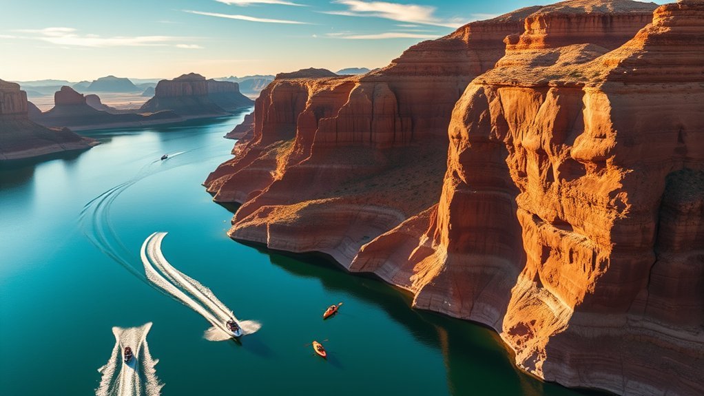
A kayak gives you quiet access to protected water and narrow side canyons, while a personal watercraft or motorboat covers much more distance. Which is better depends on wind, experience, water level, and what you want to explore.
Rental and tour services operate from the Lake Powell area, including around Wahweap and Antelope Point, but inventory and launch options can change. Confirm your rental location, ramp status, fuel policy, safety equipment, and return time before paying.
Kayakers should be especially conservative about afternoon wind. Paddling away from a marina can feel easy with a tailwind and become exhausting on the return.
Carry drinking water, sunscreen, a properly fitted life jacket, and a dry bag. File a simple route plan with someone on shore if you are heading away from busy marina areas.
Lees Ferry Historic Site
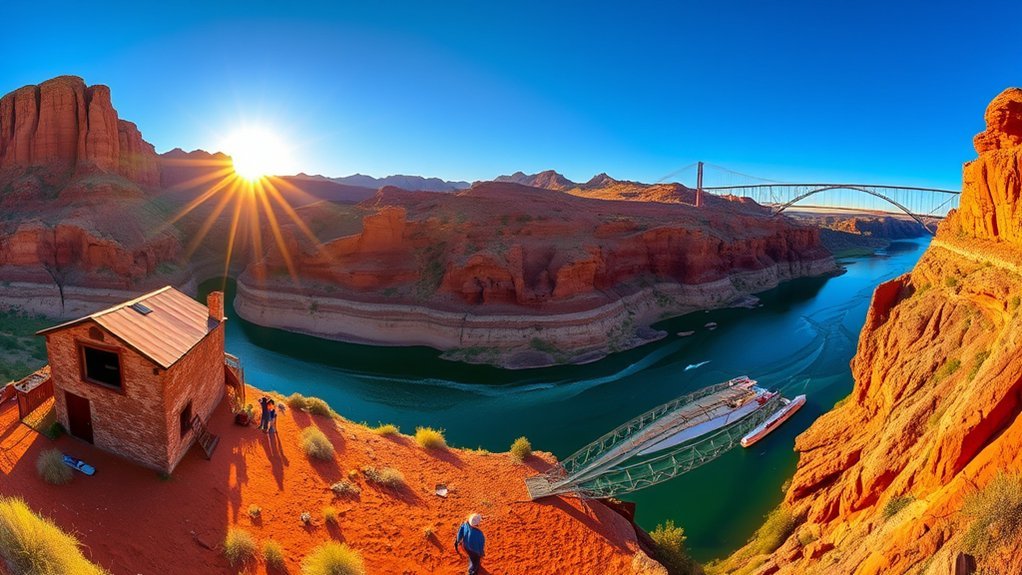
Lees Ferry is where you can drive directly to the Colorado River below Glen Canyon Dam and see an important transportation corridor in northern Arizona history. Today it is also a launch point for Grand Canyon river trips, a trout-fishing area, a hiking base, and the end point for some Paria Canyon backpacking routes.
Explore the historic district, follow the River Trail, or continue to Lonely Dell Ranch for another easy historic walk. Anglers and boaters should read current river-specific regulations because the Colorado River below the dam is very different from Lake Powell.
Pair Lees Ferry with Navajo Bridge, which sits near the turnoff from US 89A. Walking the bridge adds little driving time and gives you a striking view into Marble Canyon.
Night Sky and Stargazing Spots
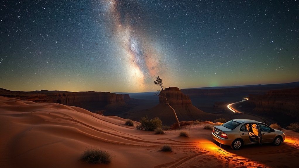
The desert around Page can deliver excellent stars once you get away from direct city lighting. A moonless night, clear weather, and an open horizon matter more than finding one supposedly secret pullout.
Dark-Sky Viewing Areas
Choose a location where nighttime access and parking are clearly legal. Recreation areas around Lake Powell may offer broad horizons, but individual gates, roads, campgrounds, and developed sites have their own rules.
Do not park on highway shoulders or wander onto tribal or private land in darkness. Scout your site in daylight, check the surface underfoot, and know exactly how you will leave.
Astrophotography Hotspots
Lone Rock and other legal Lake Powell shoreline areas can provide water or sandstone foregrounds when access conditions are suitable. Vermilion Cliffs offers darker remote terrain, but it requires far more navigation and vehicle preparation.
Do not rely on ordinary pre-dawn access at Horseshoe Bend because the City of Page parking area has set operating hours. Special stargazing programs occasionally provide authorized nighttime access, so check city event listings rather than assuming the gate will be open.
For stars, use a wide-aperture lens, stable support where permitted, manual focus, and a headlamp with a low-output mode. Keep lights pointed away from other visitors.
Antelope Point Marina
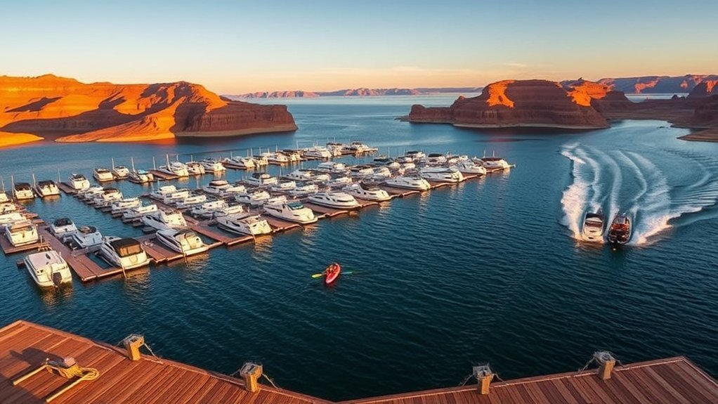
Antelope Point Marina is a major Lake Powell access point east of Page. Depending on current operations, visitors may find boat rentals, slips, dining, tours, and other marina services here.
The real advantage is location: it puts you directly into the lower Lake Powell landscape near prominent sandstone side canyons. However, water elevation can change ramp, dock, and shoreline logistics.
Check current marina information and NPS launch-ramp conditions before driving out with a fixed boating plan. Arrive with enough time for paperwork, safety briefings, loading, and navigation questions.
Guided Canyoneering and Climbing Tours
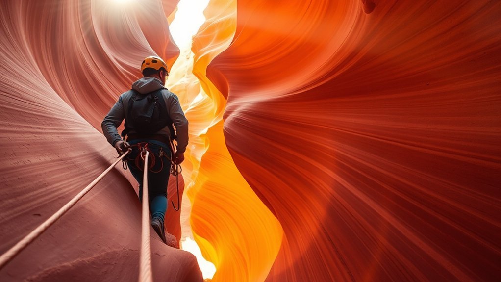
Technical desert trips can add a very different experience to Page, from rappelling and scrambling to route-finding through rugged sandstone terrain. These activities should be booked through a qualified operator that is authorized to work on the land being used.
A good guide matches the route to your fitness and experience, checks weather and flood risk, provides appropriate technical equipment, and explains how to move on sandstone without damaging fragile surfaces.
Do not assume that every canyon visible near Page is open to commercial guiding, climbing, rappelling, or independent exploration. Navajo Nation, NPS, BLM, state, and private lands have different rules.
If you are a beginner, ask whether the trip involves rappelling, exposed scrambling, confined spaces, swimming, long approaches, or difficult exits before booking.
Horseback Riding Tours With Navajo Guides
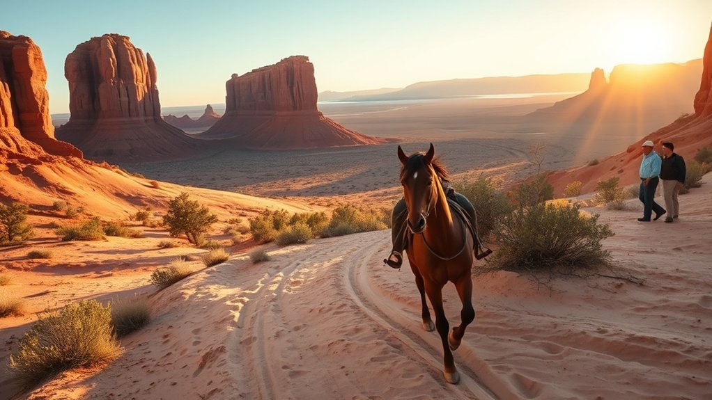
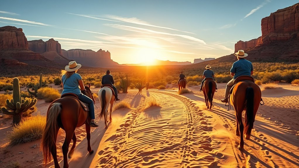
Horseback outings are offered in the broader Page and Navajo Nation region by private guides and operators, although exact routes and availability change. A guided ride can slow the landscape down and give you a different perspective on mesas, washes, plants, and traditional place knowledge.
Before booking, verify that the operator is authorized for the land being used and ask about rider age, weight limits, riding experience, footwear, weather cancellation, and the actual saddle time.
Also confirm the meeting time carefully. During daylight saving time, a meeting point on Navajo Nation land may use a different clock time from Page.
- Wear closed-toe shoes or boots.
- Use sun protection even on a short ride.
- Follow the guide’s photography and cultural-site rules.
- Do not leave the group to approach rock art, livestock, homes, or archaeological locations.
Photography Workshops and Guided Photo Tours
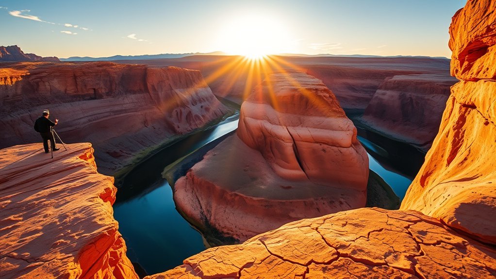
A photography workshop can be worthwhile if you want more than a quick sightseeing stop. Useful instruction should cover light, composition, exposure, weather planning, camera protection in blowing sand, and respectful photography around cultural resources.
Look for small groups and guides who know the access rules for each location. Commercial photography workshops on NPS-managed land can require authorization, and tribal areas have separate policies.
A good workshop should never encourage stepping beyond barriers, delaying a guided canyon group, touching rock art, entering closed land, or disturbing biological soil crusts for a cleaner composition.
For independent shooting, sunrise and late afternoon work well for open landscapes, while slot-canyon light depends much more on the canyon’s orientation and sun angle than on conventional golden-hour rules.
Scenic Helicopter and Air Tours Over Lake Powell
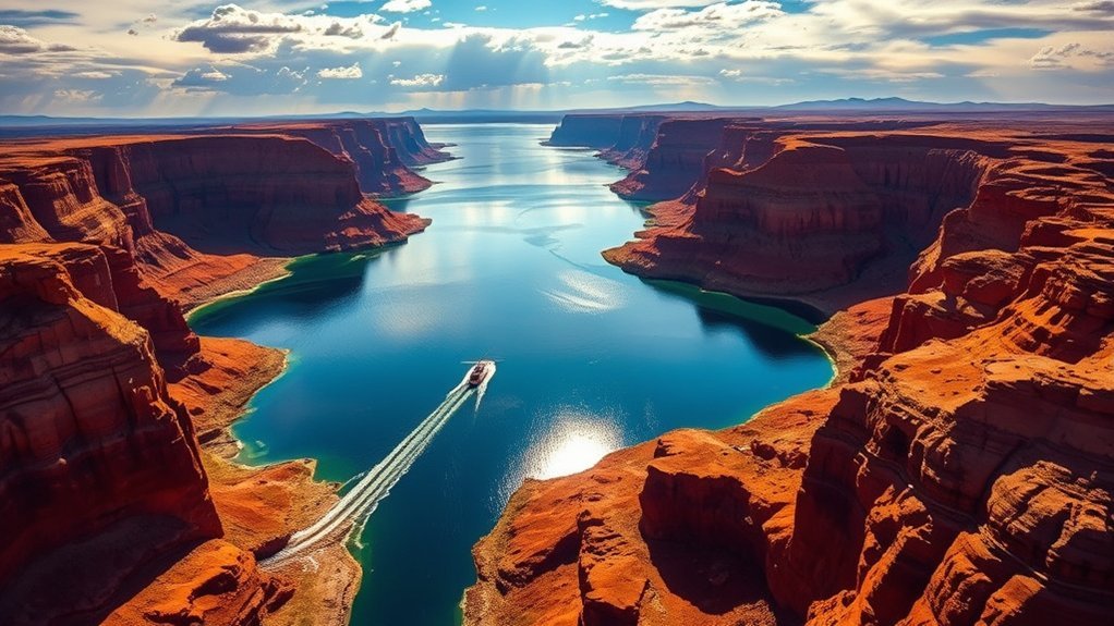
Seeing Lake Powell and Glen Canyon from the air makes the reservoir’s branching shape and the scale of the surrounding plateau much easier to understand. Commercial sightseeing flights may operate from Page, with routes and aircraft varying by provider.
Before booking, compare flight duration rather than relying only on the advertised tour length, and ask what landmarks the flight actually passes. Seating, passenger-weight procedures, weather cancellations, and photography policies also matter.
Do not assume that a tour includes a remote landing simply because an older itinerary or photograph shows one. Landing rights on federal, tribal, state, or private land depend on specific authorization.
- Ask whether every passenger gets a window view.
- Wear dark clothing to reduce window reflections.
- Avoid pressing camera lenses against vibrating windows.
- Choose the clearest forecast you can rather than chasing only golden-hour color.
Local Art Galleries and Shops in Page
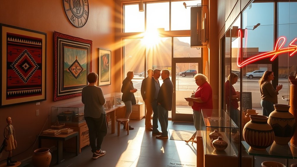
Page’s shops and galleries give you a quieter way to connect with the region after a day outside. You will find landscape photography, paintings, pottery, jewelry, and other work influenced by the Colorado Plateau.
When an item is represented as Navajo, Native American, or tribal-made, ask for the artist’s name and tribal affiliation. Authentic work supports artists directly and protects you from mass-produced products that are misleadingly marketed as Native-made.
The Department of the Interior recommends requesting written verification or a detailed receipt when buying American Indian art and craftwork. That is particularly useful for higher-priced turquoise, silverwork, weaving, and pottery.
Buying a piece because you know who made it and where it came from creates a much stronger connection to the region than choosing a generic souvenir labeled only with a Southwest theme.
Frequently Asked Questions
Are permits required for backcountry hiking near Page?
It depends on the land and route. Paria Canyon requires permits for day use and overnight travel, while Coyote Buttes North and South use separate limited permit systems. Antelope Canyon requires an authorized Navajo guide rather than an ordinary self-guided hiking permit. Always check the exact land manager for your route.
What are the best months for avoiding crowds in Page?
Late fall, winter, and early spring often feel quieter than peak summer travel periods, although popular Antelope Canyon tour times can still sell out. Spring and fall usually provide the easiest balance of manageable hiking weather and broad attraction availability.
Where can I find emergency medical care in Page?
Page Hospital Emergency Room is at 501 N Navajo Rd, Page, Arizona, and operates 24 hours. Call 911 for a life-threatening emergency. Remote hikers and boaters should not assume they will have reliable cell service.
Are there accessible trails and facilities for visitors with disabilities?
Yes. The hardened Horseshoe Bend trail is designed to meet federal accessibility requirements, and the main viewing platform is railed. Carl Hayden Visitor Center also offers accessible visitor facilities. Other trails, including Dam Overlook and Lower Antelope Canyon, involve stairs, rock, or uneven terrain, so check each site separately.
Can I fly a drone at Horseshoe Bend or Lake Powell?
Launching, landing, or operating a drone from lands or waters administered by the National Park Service within Glen Canyon National Recreation Area is prohibited except when specifically authorized. Navajo Nation Parks also prohibits drones at its park locations. FAA airspace rules still apply separately, so check both the land manager and FAA requirements before any flight.
Do I need reservations for Antelope Canyon?
Advance booking is strongly recommended because Upper and Lower Antelope Canyon require authorized guides and popular tour times can fill. Use a Navajo Nation-approved operator and follow the check-in location, time zone, arrival time, and gear rules on your reservation.
Is Page on the same time as the Navajo Nation?
Not always. Page follows Arizona Mountain Standard Time year-round, while the Navajo Nation observes daylight saving time. During the daylight-saving season, tribal locations can be one hour ahead of Page. Confirm the time stated by your tour operator.
How many days should I spend in Page?
One full day is enough for Antelope Canyon, Horseshoe Bend, and a quick Lake Powell viewpoint. Two days lets you add boating, kayaking, Hanging Garden, or Glen Canyon Dam. Three days gives you room for Lees Ferry, Navajo Bridge, Vermilion Cliffs, or a longer water excursion without rushing.
Conclusion
Page works best when you resist trying to collect every viewpoint in one day. Reserve your Navajo-guided canyon tour first, give Horseshoe Bend enough time for a safe walk, and choose at least one experience that slows the trip down, whether that is a morning on Lake Powell, a short desert hike, or an afternoon at Lees Ferry.
Conditions matter here more than they do in many city destinations. Check weather, reservoir access, permits, tour instructions, and land rules shortly before you go. With that preparation, Page gives you an unusually varied mix of sandstone canyons, open water, desert trails, cultural context, and Colorado River scenery from one compact base.
Sources
- National Park Service: Glen Canyon Day Hikes — trail distances, Antelope Canyon access, hiking safety, Hanging Garden, and Lees Ferry trails.
- Navajo Nation Parks & Recreation: Antelope Canyon Tour Operators — mandatory guides, approved access, and tribal park information.
- National Park Service: Changing Lake Levels — current Lake Powell elevation, ramps, shoreline, and access impacts.
- National Park Service: Rainbow Bridge — dimensions, cultural significance, trail access, and current low-water considerations.
- Bureau of Land Management: Paria Canyon Permits — day-use and overnight permit requirements near Vermilion Cliffs.
- National Park Service: Glen Canyon Visitor Centers — Carl Hayden Visitor Center information and current Glen Canyon Dam tour status.