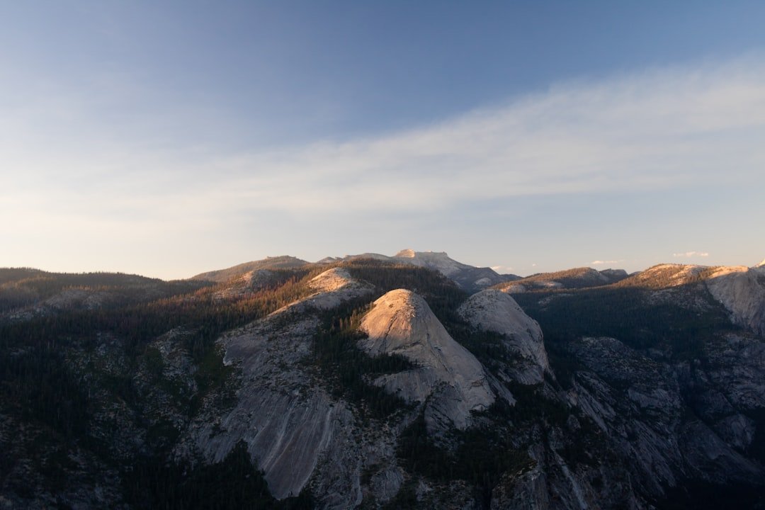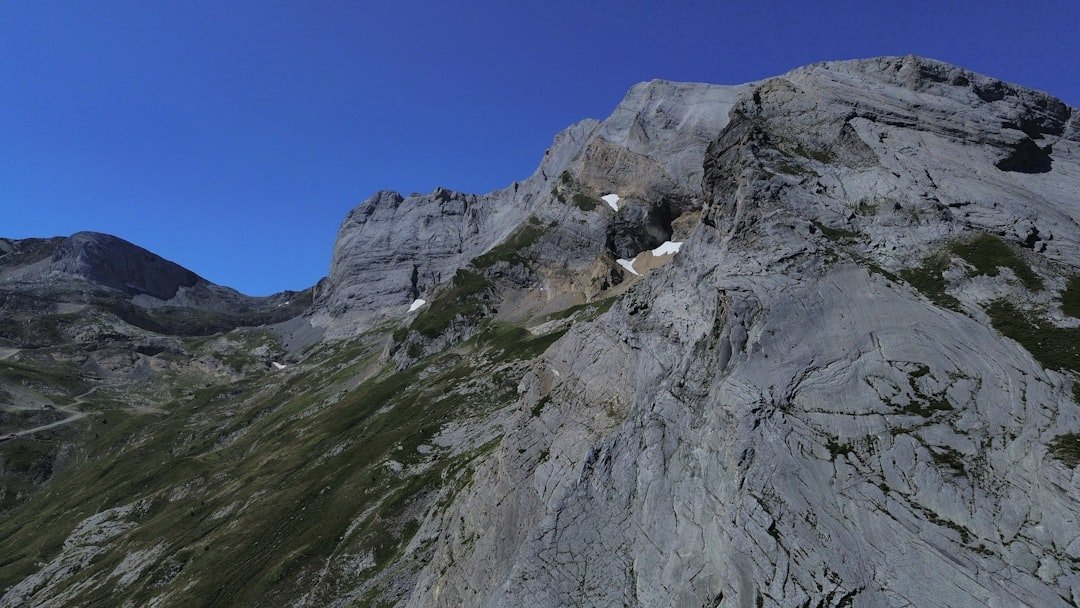
The Oeschinensee Panorama Hike above Kandersteg combines high views over the turquoise lake with the steep cliffs and glaciers of the Blüemlisalp and Doldenhorn groups. The classic Heuberg-Oberbärgli loop is far more than an easy lakeside stroll: it is a mountain hike with narrow sections, steep slopes, roughly 453 meters of climbing, and some of the best elevated photo viewpoints around Oeschinensee.
Quick Answer
The classic Oeschinensee Panorama Hike via Heuberg and Oberbärgli is about 9 km long, takes roughly 3 hours of walking, and involves around 453 m of ascent and descent. Its standout photo spots are Heuberg, the high traverse toward Oberbärgli, the descent through Underbärgli, and the Oeschinensee lakeshore.
Key Takeaways
- The verified Heuberg-Oberbärgli circular hike is approximately 9.0 km with 453 m of ascent and descent.
- Allow about 3 hours of walking, then add extra time for photography, food, and a stop at the lake.
- The high panorama route is a mountain trail, not an easy family walk. Sure-footedness, good fitness, appropriate footwear, and comfort with heights are important.
- Heuberg provides the classic elevated lake view, while the traverse toward Oberbärgli gives changing angles over Oeschinensee and the surrounding peaks.
- Always check the official live trail status before starting because snow, rockfall, construction, and weather can close mountain paths.
- Do not enter the restricted southeastern shore area, and do not fly a drone. Both restrictions are covered by local visitor rules.
At a Glance
| Time Required | About 3 hours walking; allow 4-5 hours with photo, meal, and lake stops |
| Difficulty | Moderate mountain hike; about 9.0 km and 453 m ascent/descent, with narrow and exposed sections |
| Tools Needed | Hiking boots, weather layers, water, sun protection, charged phone, and preferably hiking poles |
| Cost | Trail access is free. In the main 2026 summer period, the regular adult gondola return fare is CHF 40; discounts apply to eligible travel passes. |
The regional tourism authority lists the Heuberg-Oeschinensee loop at approximately 9.0 km, 3 hours, and 453 m of ascent and descent.
Oeschinensee Panorama Hike Route
The classic circular route begins at the Oeschinen gondola mountain station above Kandersteg. According to the regional tourism route description, hikers travel from the mountain station toward Läger, climb toward Heuberg, continue across the high mountain trail to Oberbärgli, descend through Underbärgli to Oeschinensee, and then return from the lake toward the gondola mountain station.
You can verify the route and current trail information through the official Oeschinensee hiking page and the Adelboden-Lenk-Kandersteg Heuberg route page.
- Mountain station to Läger: Start on the marked paths toward Oeschinensee and Läger.
- Läger to Heuberg: Leave the easier lake-access route and climb onto the mountain trail. The scenery opens quickly as you gain height.
- Heuberg viewpoint: Stop at the elevated viewpoint for one of the classic photographs looking across Oeschinensee toward the high peaks.
- Heuberg to Oberbärgli: Follow the narrow mountain trail across steep slopes. This is the section where sure-footedness and comfort with heights matter most.
- Oberbärgli to Underbärgli: Begin descending through the alpine landscape toward the lake.
- Underbärgli to Oeschinensee: Continue downhill past rocky terrain and seasonal streams until you reach the lakeside area.
- Lake to mountain station: Return to the gondola station on one of the marked walking paths.
Warning: Do not confuse the Heuberg mountain route with the easy paths between the gondola mountain station and Oeschinensee. The official operator describes the Heuberg-Oberbärgli section as a narrow mountain trail for experienced hikers with good stamina and a head for heights.
The Iconic Blue Lake
Oeschinensee is a glacial lake within the Swiss Alps Jungfrau-Aletsch UNESCO World Heritage property. UNESCO documentation specifically identifies Oeschinensee as one of the important glacial landscape features included when the World Heritage area was extended.
The water can shift from deep blue to bright turquoise depending on the weather, sunlight, viewing angle, and suspended alpine sediment. From the higher Heuberg trail, the lake sits far below the path and is framed by steep mountain walls, giving photographers a very different perspective from the familiar lakeshore view.
At lake level, visitors can slow down after the hike, eat, take photographs, or enjoy the water from permitted areas. Official rowing boats are available seasonally and can be rented directly at the lakeshore when operating. Swimming is also possible in appropriate areas, but the water is cold and all shoreline barriers and restricted-zone signs must be respected.
Note: Rowing boats are the established rental activity at Oeschinensee. Do not plan on bringing a stand-up paddleboard on the gondola because the operator states that SUPs, bicycles, scooters, and similar sports equipment are not transported from the valley station.
The Blüemlisalp Massif
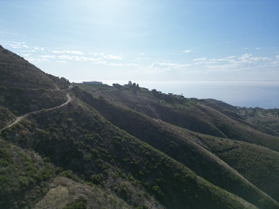
The glacier-covered Blüemlisalp massif dominates much of the view above Oeschinensee. Rather than being one mountain, Blüemlisalp is a group of high peaks. The Swiss Alpine Club route portal currently lists Blüemlisalphorn, the principal summit, at 3,661 meters.
This high mountain backdrop is one reason the Heuberg section photographs so well. The combination of blue water, green slopes, pale rock, snowfields, and glaciers creates strong layers in a wide-angle landscape photograph.
Wildlife may also be visible in the wider area. The regional tourism authority specifically notes the possibility of seeing ibex and chamois with luck and patience. Treat any sighting as a bonus rather than an expectation, keep your distance, and never leave the trail to approach an animal.
Waterfalls and Stream Crossings
| Trail Feature | Where You May See It | Photo Value | Caution |
|---|---|---|---|
| Seasonal mountain streams | High traverse between Heuberg and Oberbärgli | Water against steep alpine slopes and lake views | Wet rocks can be slippery |
| Cascades after snowmelt or rain | Cliffs and gullies around the mountain trail | Longer-lens details and layered mountain scenes | Flow varies greatly with conditions |
| Streams near the descent | Oberbärgli and Underbärgli side of the route | Foreground detail with cliffs and alpine vegetation | Never leave the official trail for a closer angle |
The mountain walls around Oeschinensee carry many seasonal streams and cascades. Their appearance changes with snowmelt, recent rain, and summer weather, so you should not expect one named waterfall to look identical on every visit.
These streams are especially attractive when they add foreground interest to photographs of the lake or cliffs. They also make parts of the mountain path wet and slippery. Slow down where water crosses the trail and use footwear with good grip.
Heavy rain and strong day-to-night temperature changes can also increase the danger of falling rocks, debris, and unstable slopes. Treat waterfalls as part of the landscape, not an invitation to leave the marked route.
The Lush Alpine Meadows
Alpine meadows add color and texture to the route during the snow-free season. The lower paths and areas around Läger, Oberbärgli, and Underbärgli can include grasses, flowering plants, grazing livestock, and wide mountain views.
The wider Oeschinensee area contains protected plant and wildlife zones. The official outdoor guidelines ask visitors to stay on marked trails and avoid picking, digging up, cutting, or trampling plants. That is particularly important when photographers are tempted to step into flowers for a better foreground.
Grazing cows, sheep, and other animals may also be present. Walk past calmly, keep a safe distance, and give animals enough room. Dogs should be kept under control and must be leashed where local rules require it.
Pro Tip: Use meadow flowers, grass, or a trail edge as foreground elements without stepping off the marked path. A lower camera position can create depth while keeping both you and the vegetation where you belong.
The Charming Wooden Chalets
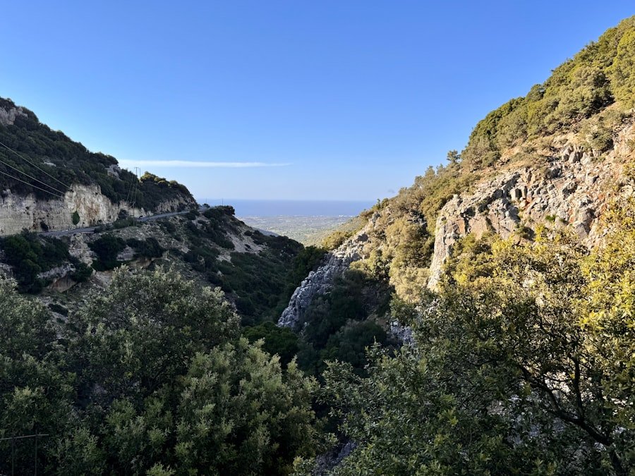
Traditional alpine buildings and mountain restaurants add a human element to the Oeschinensee landscape. Current facilities in the area include the Oeschinensee Mountain Restaurant near the lake, Bergstübli near the mountain station, Chalet Arva, and seasonal mountain-hut services.
Do not assume every small mountain hut or kiosk will be open. Weather, season, staffing, and local conditions can affect service. Check the official live operating status before relying on a specific refreshment stop.
The mountain station and lakeside area are the most dependable places to plan around for food and facilities. Carry enough water and a snack for the full mountain section even when you expect restaurants to be open.
The Narrow Mountain Trail: No Suspension Bridge Required
The official descriptions of the Heuberg-Oberbärgli loop do not list a suspension bridge as one of its route features. The excitement comes from the natural terrain itself: a narrow mountain path traverses steep slopes high above Oeschinensee, with open views across the lake and toward the surrounding peaks.
Some sections can feel exposed, especially if you dislike heights. The regional tourism authority advises sure-footedness and notes steep slopes with deep views. The official Oeschinensee operator similarly recommends mountain-hiking experience, proper equipment, and hiking boots.
This terrain is also why the route should not be described as a simple walk for everybody. If you want an easier visit, use the broad marked paths between the gondola mountain station and Oeschinensee instead of Trail G via Heuberg.
Best Photo Spots on the Oeschinensee Panorama Hike
The strongest photographs come from a series of viewpoints rather than one single landmark. Conditions change quickly in the mountains, so the best spot can depend on clouds, light, visibility, and trail conditions.
| Photo Spot | Best For | Practical Tip |
|---|---|---|
| Heuberg | Classic elevated view over the blue lake | Use a wide lens to include both lake and mountain walls. |
| Heuberg-Oberbärgli traverse | Changing lake angles, cliffs, streams, and mountain layers | Stop only where the trail is safely wide enough for others to pass. |
| Oberbärgli | High alpine scenery and the transition into the descent | Look back as well as forward because the light can favor either direction. |
| Underbärgli descent | Rocky cliffs, waterfalls, vegetation, and lake approaches | Keep your camera packed when you need both hands for secure footing. |
| Oeschinensee lakeshore | Reflections, boats, water-level compositions, and mountain walls | Respect all barriers and the southeastern-shore exclusion zone. |
| Läger viewpoint/path | Accessible panorama without completing the full high loop | A useful alternative when you do not want the full mountain hike. |
Early starts often provide a quieter trail and give you more time before the last gondola. Later afternoon can produce warmer light, but do not remain on exposed mountain paths into darkness. Official visitor guidance recommends avoiding hiking at twilight and at night.
Warning: A large part of Oeschinensee’s southeastern shoreline is a legally restricted area because of serious rockfall danger. Entry is prohibited. Do not cross barriers or attempt to create your own full circuit of the lake.
Note for photographers: Drone and model-aircraft flights are prohibited in the Oeschinensee area under local rules. Plan your photography from the marked hiking trails and permitted public areas instead.
Getting to the Oeschinensee Panorama Hike
The usual starting point is Kandersteg. Travelers arriving by train can walk from Kandersteg railway station to the Oeschinen gondola valley station in roughly 10-15 minutes. A local bus also operates seasonally between the railway station and valley station.
The gondola takes visitors from Kandersteg to the Oeschinen mountain station. From there, the easy direct path to the lakeshore takes roughly 25 minutes, while the Läger panorama path takes longer. For the full Heuberg-Oberbärgli loop, leave the easier path at the marked mountain-trail junction and follow the official signs.
Cars, e-bikes, and other private vehicles cannot simply drive to the Oeschinensee lakeshore. Drivers should park in designated areas around the valley station or Kandersteg and continue on foot or by gondola.
2026 Gondola Times and Prices
According to the official 2026 timetable and fare page, the gondola operates daily from May 9 through September 20, 2026, from 8:30 a.m. to 6:00 p.m. Fall service from September 21 through November 8 is scheduled from 8:30 a.m. to 5:00 p.m., followed by limited weekend operation later in November.
During the main 2026 summer pricing period, the regular adult return fare is CHF 40. Half-Fare, GA, Swiss Travel Pass, child, and other eligible fares differ, so check the official ticket page before purchasing.
2026 Booking Note: From June 20 through September 20, 2026, a separate ascent time-slot reservation is required. A valid transport ticket bought through another provider does not necessarily include that time slot. Check the official ticket system before traveling.
Best Time to Hike
The best period for the high Heuberg-Oberbärgli route is when the mountain trail is officially open, snow-free enough for safe hiking, and the weather is stable. That commonly means summer into early autumn, but fixed calendar dates cannot guarantee safe conditions.
Snow can remain in gullies early in the season, while rain, thunderstorms, rockfall, or early snow can affect the route later. Check both the Oeschinensee live trail status and an official weather forecast such as MeteoSwiss shortly before starting.
For photography, clear mornings provide crisp mountain detail, while broken clouds can create more dramatic light. Safety should decide your schedule, however. If thunderstorms, heavy rain, or unstable conditions are forecast, choose an easier low route or postpone the high trail.
Safety on the Panorama Trail
The Heuberg portion deserves normal mountain-hiking precautions. Although the route does not require technical climbing, it includes narrow terrain, steep slopes, elevation gain, loose or wet surfaces, and places where a fall could have serious consequences.
- Wear proper hiking shoes or boots with good grip.
- Check the official trail status before leaving the mountain station.
- Check the mountain weather and severe-weather warnings.
- Carry enough water, food, sun protection, and an extra clothing layer.
- Use hiking poles if they help your balance on climbs and descents.
- Keep a charged phone with you, but do not rely on perfect mobile reception everywhere.
- Stay on marked trails and obey every closure, fence, and warning sign.
- Do not enter protected plant or wildlife areas.
- Give grazing livestock and wildlife plenty of space.
- Turn around if the terrain exceeds your ability or conditions deteriorate.
The official Oeschinensee outdoor guidelines and FAQ provide current local safety rules, including information about rockfall, restricted areas, hiking equipment, wildlife, fires, dogs, and emergency procedures.
What to Pack
- Hiking boots: More appropriate than smooth-soled casual shoes on Trail G.
- Water: Carry enough for several hours even if restaurants are operating.
- Food or snacks: Useful if a seasonal mountain hut is closed.
- Weather layer: Mountain temperatures and wind can change quickly.
- Sun protection: Hat, sunglasses, and sunscreen are useful on exposed slopes.
- Charged phone: Download your map before starting if possible.
- Small first-aid kit: Sensible for any mountain hike.
- Camera protection: Keep equipment secure and protected from sudden rain.
- Hiking poles: Optional, but helpful for some hikers on the descent.
Facilities, Food, and Lakeside Activities
Visitors will find toilets and food options around the gondola stations and lakeside area. Current operating information should be checked before your visit because mountain services may change with the season and weather.
After completing the hike, you can spend additional time beside Oeschinensee. Seasonal rowing-boat rental provides a different view of the surrounding cliffs, and swimming is possible from appropriate permitted areas for visitors comfortable with cold alpine water.
Never treat the existence of restaurants or huts as a reason to hike without your own water and basic supplies. The full mountain route can take considerably longer than three hours once photography and breaks are included.
The Breathtaking Panoramic Views
The strongest feature of the Oeschinensee Panorama Hike is the changing perspective. From Heuberg, the lake appears far below the trail. As you continue toward Oberbärgli, the angle shifts and the surrounding peaks become increasingly prominent. The descent then brings you gradually back into the lakeside landscape.
This variation is more rewarding photographically than relying on one famous viewpoint. Wide-angle images can emphasize the lake and mountains together, while a moderate telephoto lens can isolate glaciers, cliffs, waterfalls, grazing animals, or small buildings against the larger landscape.
When photographing from narrow parts of the trail, safety comes before composition. Do not stop where you block other hikers, back toward an edge while looking through a viewfinder, or leave the marked path to improve an angle.
The Oeschinensee Panorama Hike succeeds because it combines a genuinely demanding mountain section with several very different views of the same landscape. Heuberg gives the signature elevated perspective, the Oberbärgli traverse adds scale and changing mountain angles, and the lakeshore provides a quiet water-level finish. With accurate route planning and respect for local restrictions, the hike delivers far more than a single social-media photo.
If your main goal is photography, plan around the official trail status rather than a fixed list of shots. Check the live Oeschinensee operating page shortly before departure, start early enough to give yourself time for safe stops, and choose viewpoints that do not require leaving the marked trail.
Frequently Asked Questions
What is the Oeschinensee Panorama Hike?
The classic panorama hike is a circular mountain route from the Oeschinen gondola mountain station via Läger, Heuberg, Oberbärgli, Underbärgli, and Oeschinensee before returning toward the mountain station. It combines elevated lake views with a narrow mountain trail and a lakeside finish.
How long is the Oeschinensee Panorama Hike?
The regional tourism authority lists the Heuberg-Oeschinensee circular route at about 9.0 km, with roughly 453 m of ascent and descent. Walking time is approximately 3 hours, but most visitors should allow longer for photographs, food, and lake stops.
What are the best photo spots along the Oeschinensee Panorama Hike?
Heuberg is the signature elevated viewpoint. Other strong locations include the high traverse between Heuberg and Oberbärgli, the Oberbärgli and Underbärgli areas, the Läger panorama path, and the Oeschinensee lakeshore.
Is the Oeschinensee Panorama Hike suitable for beginners?
The full Heuberg-Oberbärgli route is not an easy beginner walk. It includes narrow mountain terrain and steep slopes, and the official operator recommends mountain-hiking experience, appropriate equipment, hiking boots, good stamina, and comfort with heights. Easier marked paths connect the gondola mountain station with the lake.
What is the best time of year to hike the Oeschinensee Panorama Trail?
The high route is best attempted when Trail G is officially open and free of unsafe snow or weather conditions, typically during the snow-free summer and early-autumn hiking season. Check the official live status immediately before your trip rather than relying only on the calendar.
Do I need to reserve the Oeschinensee gondola in 2026?
For ascents from June 20 through September 20, 2026, visitors need an ascent time-slot reservation in addition to a valid gondola ticket. Tickets purchased from third parties may not automatically include the required time slot.
Is there a suspension bridge on the Oeschinensee Panorama Hike?
A suspension bridge is not listed as a feature of the official Heuberg-Oberbärgli circular route. The dramatic part of the hike is the narrow mountain path across steep slopes above Oeschinensee.
Are there restaurants and restrooms around Oeschinensee?
Yes. Facilities are available around the gondola stations and lakeside area, and several restaurants or seasonal mountain services operate in the wider Oeschinensee area. Opening status can change, so check the official live page and carry your own water and snacks.
Can I fly a drone at Oeschinensee?
No. The official Oeschinensee outdoor guidelines state that drone and model-aircraft flights are prohibited in the area under local rules. Photographers should work from marked hiking trails and permitted public areas.
Sources
- Oeschinensee Official Hiking Information – trail classifications, route descriptions, difficulty, and current hiking guidance.
- Adelboden-Lenk-Kandersteg Tourism: Heuberg Oeschinensee – official regional route distance, duration, elevation, route sequence, and safety information.
- Oeschinensee Gondola Timetable & Fares – 2026 operating dates, hours, ticket prices, and transport information.
- Oeschinensee Outdoor Guidelines and FAQ – rockfall restrictions, hiking preparation, protected areas, drone rules, equipment, and visitor safety.
- UNESCO World Heritage Centre: Swiss Alps Jungfrau-Aletsch – World Heritage status, glacial landscape, ecology, and geological significance.
- Swiss Alpine Club: Blüemlisalphorn – summit identification and current route-portal elevation data.