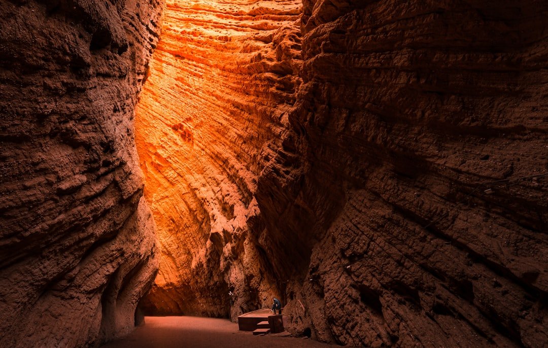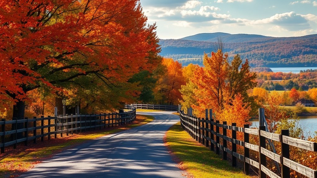
Alabama’s fall foliage does not peak everywhere at once. Color usually begins in the higher parts of northeast Alabama, moves across the northern mountains and central foothills, and reaches southern areas later. Weather can push that schedule earlier or later, so plan around historical windows and use current park reports to pick your day.
Quick Answer
Alabama fall foliage usually starts in the higher parts of northeast Alabama in mid-October and peaks across the north and mountains from late October into early November. Central and southern areas follow into mid-November. For dependable views, start with Talladega Scenic Drive, Little River Canyon, Cheaha, DeSoto, Monte Sano, or Lake Guntersville.
Last checked: October 7, 2026. Dates and figures were verified against official sources.
Key Takeaways
- Late October through early November is the most useful general planning window for northern and higher-elevation Alabama.
- In 2026, color was only 10–30% changed at DeSoto State Park on October 6, and drought in north Alabama may cause some early leaf drop.
- Talladega Scenic Drive, Little River Canyon Rim Parkway, Natchez Trace Parkway, and Lake Guntersville offer clearly mapped routes and viewpoints.
- DeSoto’s main area and the Little River Canyon rim parkway are free, while Cheaha and Monte Sano charge $5 for most adults.
- Drive only to designated pullouts, watch for cyclists and wildlife, and avoid narrow mountain routes with a trailer or large RV where restrictions apply.
When Does Alabama Fall Foliage Peak?
There is no single statewide peak date. Color shows up first on the highest ground in the northeast and reaches the Gulf Coast last. Elevation, latitude, tree species, rainfall, drought, wind, and cold snaps all affect when leaves change and how long they stay on the trees.
| Area | Typical Planning Window | Good Starting Points |
|---|---|---|
| Northeast mountains and Lookout Mountain | Mid-October through early November | DeSoto State Park, Mentone, Little River Canyon, and Monte Sano |
| Cheaha and the Talladega Mountains | Late October through early November | Talladega Scenic Drive, Bald Rock, and Pulpit Rock |
| Central Alabama | Late October through mid-November | Oak Mountain State Park and wooded areas around Birmingham |
| Southern Alabama and the Gulf Coast | Early through mid-November, sometimes later | Wooded river corridors, historic towns, and state parks with mixed hardwoods |
Note: These are historical planning ranges, not guaranteed peak dates. A dry summer, strong wind, tropical weather, or early frost can shorten the display or cause leaves to fall before they reach full color.
What Fall 2026 Looks Like So Far
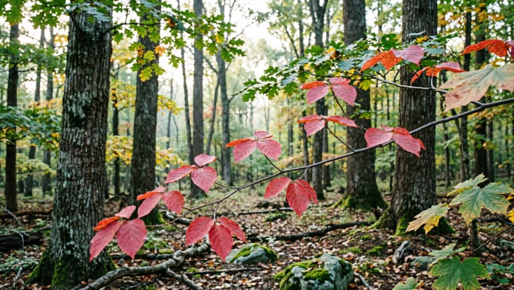
As of early October 2026, color is just getting started in northeast Alabama. DeSoto State Park’s October 6 report rated the change as low (10–30%), with about three-quarters of the foliage still green. Black gum, sourwood, and dogwood are among the first trees turning.
Dry weather is the wild card this year. The National Weather Service in Huntsville reported in its September 29 drought information statement that drought had worsened across north Alabama. Many northern spots got less than 25% of their normal rain over 30 days, while temperatures ran 3–6°F above normal.
DeSoto reports that some leaves are dropping early from drought, although most held on after recent rain. The same NWS statement says October is favored for above-normal rain and drought is expected to end by the end of the year. That leaves room for color to build through late October.
Why Peak Color Changes Each Year
As daylight shortens and temperatures cool, deciduous trees stop replacing chlorophyll, the pigment that makes leaves look green. Yellow and orange pigments then become easier to see, and some trees produce stronger red or purple tones.
Weather controls the quality and length of the display. Mild sunny days and cool nights usually support stronger color. Drought stresses trees, frost can damage leaves, and high wind can strip branches quickly. The NOAA explanation of fall leaf color covers pigments and weather effects in more detail.
Peak color is a moving target. Plan around a regional window, then use current reports to choose the best day.
Top Scenic Drives for Alabama Fall Foliage
Products Worth Considering

United States Southwest Map National Geographic Adventure Map, 3121, Volume 3121


Talladega Scenic Drive
Talladega Scenic Drive is one of Alabama’s strongest fall road trips. It follows State Route 281 for about 26 miles through Talladega National Forest. The road runs along the backbone of Horseblock and Cheaha Mountains, the southern end of the Appalachians.
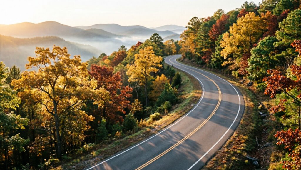
The drive starts where SR 281 meets US 78 just west of Heflin and ends where the pavement stops at Adams Gap. It is a 26.4-mile National Scenic Byway, and the federal byway listing suggests allowing about an hour for the road alone. Plan several hours if you stop at Cheaha State Park for overlooks, photos, or a picnic.
The route passes the Cheaha area, where Alabama’s highest point rises to 2,407 feet. Cheaha State Park has restrooms and charges a day-use entrance fee of $5 for visitors 12 and older and $2 for ages 4–11 and 62+. Veterans and active military enter free with ID.
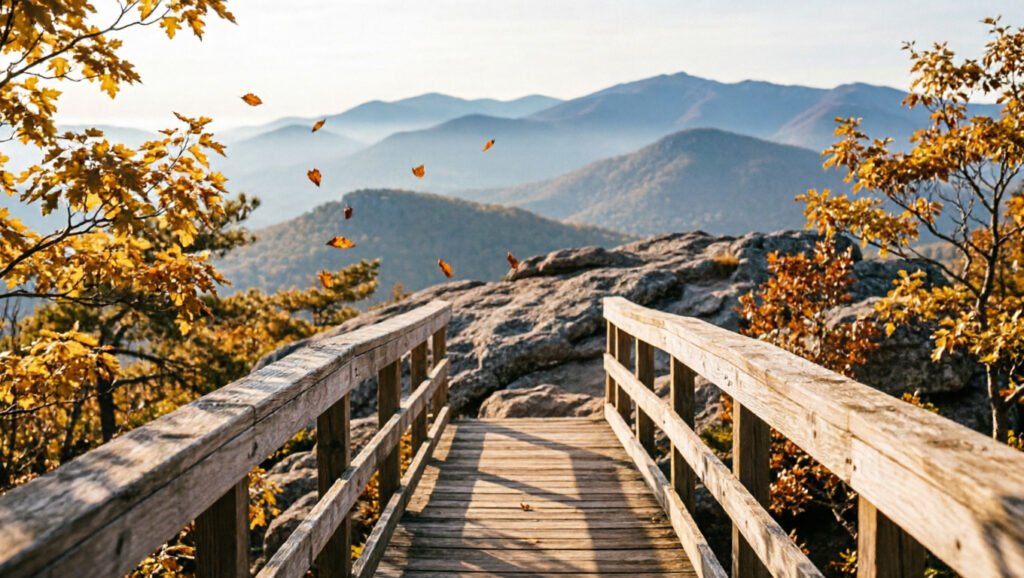
Good stops include Bald Rock, Pulpit Rock, and other overlooks around Cheaha. The Bald Rock trail and boardwalk is a 0.3-mile route to a broad mountain view. Pulpit Rock is also 0.3 miles, but its steeper, rocky terrain needs more care. Park trails close at sunset.
Little River Canyon Rim Parkway
The signed scenic section of Little River Canyon Rim Parkway follows Alabama Highway 176 along the canyon’s west rim. The core drive covers about 11 miles and includes eight overlooks with views of cliffs, forested slopes, and the river below.
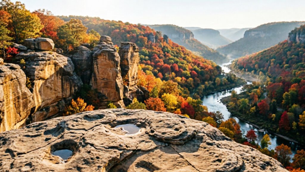
You can begin near Little River Falls and continue to Eberhart Point, where the parkway leaves the preserve. The rim parkway is free. A $15-per-vehicle pass is needed only at Canyon Mouth Park, and that fee is waived on the National Park Service fee-free days of October 27 and November 11, 2026.
The NPS does not recommend RVs or vehicles with trailers on the parkway because of blind turns, steep hills, and no shoulders. RVs and trailers are not allowed at all on the county road down to Canyon Mouth Park, and motorcycles need extra caution there because of loose gravel on sharp turns.
Warning: Little River Canyon roads include blind curves, steep grades, limited shoulders, cyclists, and wildlife. Use designated overlooks, obey posted restrictions, and never stop in a traffic lane for a photograph.
The canyon is still a strong photography spot in fall, but waterfall flow is not guaranteed. The river and seasonal falls can run shallow after a dry summer and autumn, which is likely in 2026.
Natchez Trace Parkway
The Natchez Trace Parkway crosses the northwest corner of Alabama and offers a quiet drive through hardwood forest. The NPS says maple, hickory, and oak begin changing in middle to late September, and it posts weekly color reports during the season. Color normally develops along the northern Parkway before moving south toward Mississippi.
The best Alabama stops are Freedom Hills Overlook at milepost 317.0 and Rock Spring Nature Trail at milepost 330.2. Freedom Hills is a steep, paved path of about 2,200 feet round trip to a view over hardwood forest. Rock Spring is a 2,200-foot loop that crosses Colbert Creek on stepping stones, giving you a closer view beneath the canopy.
The Parkway has narrow lanes, limited shoulders, cyclists, and frequent wildlife. Drive in daylight when possible, slow down near dawn and dusk, and use official pullouts rather than the roadside.
Lake Guntersville State Park
Lake Guntersville combines mountain slopes, hardwood forest, and water reflections. Drive through the park along Aubrey Carr Scenic Drive and stop at Mabrey Overlook for a broad lake view from Taylor Mountain. The park is open sunrise to sunset, and some day-use areas use honor boxes or accept donations.
The paved, 0.3-mile Benny Bobo Accessible Trail starts at Mabrey Overlook and suits visitors who don’t want a long hike. For more time under the trees, try the park’s Seale’s Trail and Lickskillet Trail. Seale’s is an easy 1.6 miles along Town Creek through maple, hickory, and beech. Lickskillet is a moderate 2.7 miles past large beech trees.
DeSoto, Mentone, and Lookout Mountain
You can build a flexible foliage route around Fort Payne, DeSoto State Park, Mentone, and Little River Canyon. This is not one signed scenic byway, so map each stop before leaving and download directions in case cell service weakens.
DeSoto State Park reports that a hint of color usually begins in late September or early October. Its historical peak falls between the second half of October and the first part of November, and the park posts color updates through the season.
DeSoto’s main area has no gate or entrance fee, and its trails are open dawn to dusk. Parking at DeSoto Falls, about seven miles from the main park, costs $5 per vehicle. The park warns that GPS directions can be unreliable and says trailers and RVs should avoid County Road 613 to DeSoto Falls.
Pro Tip: Visit a high-elevation overlook first, then drive toward lower valleys. Elevation differences may let you see stronger color at one stop even when another area is still green or already past peak.
Best Locations for Autumn Photography
Pick locations with several kinds of scenery instead of chasing one exact peak date. Overlooks, lakes, boardwalks, canyon walls, and mixed hardwood forests give you more options when color is uneven.
| Location | Best Features | Low-Walking Option | Planning Advice |
|---|---|---|---|
| Cheaha State Park | Long mountain views, layered ridges, and broad skies | Bald Rock boardwalk and overlook (0.3 mile) | Aim for late October through early November. |
| Little River Canyon | Canyon walls, overlooks, river bends, and seasonal waterfalls | Roadside overlooks along Highway 176 | Do not depend on strong waterfall flow during a dry fall. |
| DeSoto State Park | Mixed forest, small cascades, boardwalks, and Lookout Mountain scenery | Talmadge Butler Boardwalk Trail (360 yards, accessible) | Historical peak is often late October into early November. |
| Monte Sano State Park | Tennessee Valley views and wooded plateau trails | Drive to park viewpoints and picnic areas | Color can arrive earlier than in lower central and southern areas. |
| Lake Guntersville | Lake reflections, hardwood slopes, birds, and open overlooks | Mabrey Overlook and Benny Bobo Accessible Trail | Visit in calm morning or late-afternoon light for reflections. |
| Bankhead National Forest | Deep forest, sandstone formations, streams, and the Sipsey Wilderness | Choose a mapped recreation area rather than an unmarked backroad | Download maps and check forest alerts before entering remote areas. |
Products Worth Considering

Camera mount tripod stand with zippered storage bag
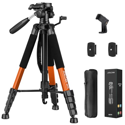
Lightweight & Easy to Adjust: Upgraded trapezoidal flap lock tripod adjusted from 19.5" and 74" to meet different height needs for variety shooting environments and photography. 18" compact size and 3.15 lbs weight make tripod easy to carry with travel bag

【Adjustable Height Range】 Extend from 23.5 inches to 80 inches (short column heighten), the legs are designed with flip locks for quickly height adjusted. Center column is reversible, facilitating lower-angle photography where an attached camera is positioned among the legs
Autumn Photography Tips
- Use early or late light: Lower sunlight adds depth to ridges and makes leaf textures easier to see.
- Include a foreground: Frame distant hills with a nearby branch, rock wall, fence, or trail.
- Look for reflections: Calm water at Lake Guntersville or a forest pond can double the color in your photograph.
- Protect bright skies: Lower your exposure slightly if clouds or open sky look washed out.
- Keep the road clear: Take photographs only from designated parking areas, overlooks, or trails.
Family-Friendly Fall Activities
Fall foliage works best as part of a full family day. Choose one main destination, then add a picnic, short trail, farm visit, or community event.
- Short nature walks: Try a boardwalk, accessible trail, or overlook route where children can stop often, such as the 360-yard Talmadge Butler Boardwalk at DeSoto or the 0.3-mile paved Benny Bobo trail at Lake Guntersville.
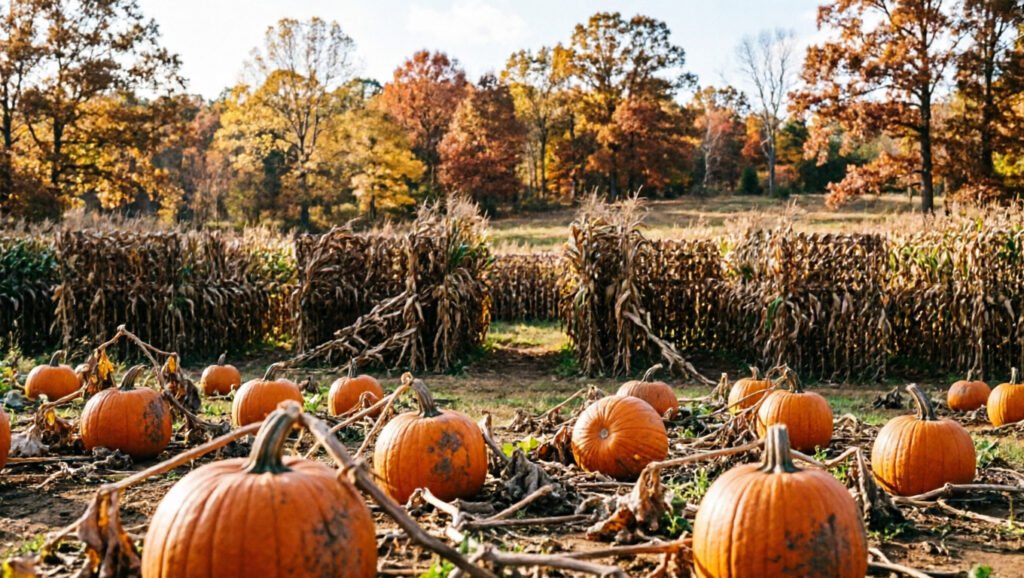
- Pumpkin farms and corn mazes: Operating dates, ticket requirements, pet rules, and weather closures vary from farm to farm, so confirm details with the farm directly.
- Harvest festivals: Alabama communities and state parks host seasonal food, craft, music, and nature programs. Browse the official Alabama events calendar and Alabama State Parks events for this year’s dates.
- Scenic picnics: Pack food and use a designated picnic area instead of stopping along a narrow road.
- Leaf and tree activities: Ask children to find different leaf shapes and colors without pulling live leaves or disturbing plants.
Products Worth Considering

Premium quality all-in-one picnic backpack with comfortable padded straps for extra comfort and multiple storage compartments for your convenience.Great for trips to the park - outdoor concerts - beach -and hiking, Be proud to present for any occasion!

Large Insulated Cooler Compartment: The picnic backpack with size 18"×13"×8.7". It owns 2 cooler compartments with top insulation materials, so that the food can continue to maintain temperature for long time, whether there is warm food or cool wine, the bag can always keep them tasty.

Stylish and Practical All in one Picnic Backpacks - Impressed with the quality! Crafted with sturdy fabric, Sunflora outdoors picnic baskets for 4 are thoughtfully designed for rugged use. You can't go wrong with eye catches classical picnic set that keeps up with the times. Comfortable & portable to carry outdoor, with multiple colors to express your style.
Optional Fall Paddling
The Alabama Scenic River Trail is a network of water routes, not a scenic road. A mapped lake or river segment offers a different view of autumn color. Before launching, check weather, water levels, access points, and local rules.
Warning: Every paddler should wear a properly fitted U.S. Coast Guard-approved life jacket. Do not enter unfamiliar water during high flow, storms, cold conditions, or when official warnings are active.
Hidden Gems for Leaf Peeping
Sipsey Wilderness and Bankhead National Forest
The Sipsey area is best explored from a mapped trail or recreation site rather than as an undefined riverside drive. It offers hardwood forest, rock shelters, streams, and a quieter setting than the major overlooks. Groups in the Sipsey Wilderness are limited to 10 people, and pets must be leashed or restrained.
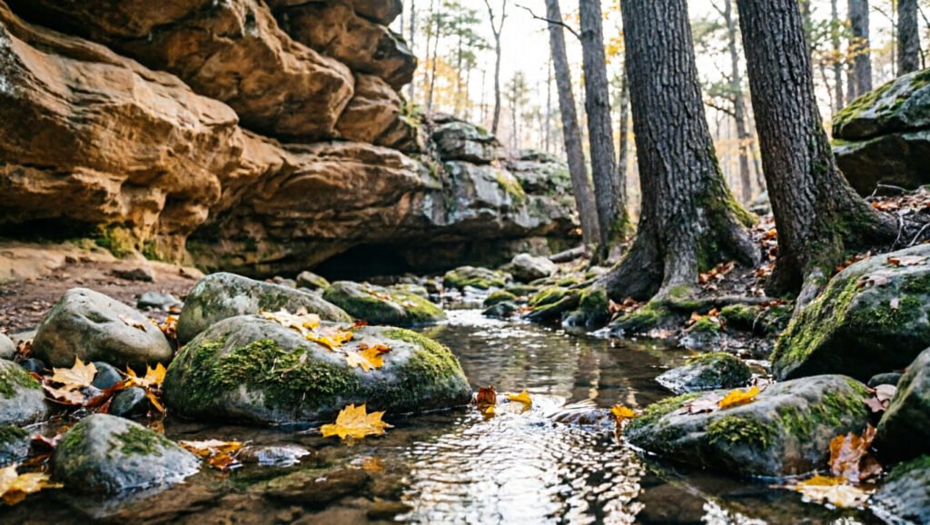
Conditions can be rugged, signs may be limited, and cell coverage may be weak. Carry water, download a map, tell someone your route, and leave enough daylight to get back before dark.
Monte Sano and North Alabama Trails
Monte Sano State Park rises above Huntsville on 2,140 acres with about 20 miles of hiking trails. The Warpath Ridge Trail and its overlook look out over the Tennessee Valley. The North Plateau Loop is a useful family option if you’re comfortable on natural, uneven trail surfaces.
The park is open 8 a.m. to sunset, and trails close 30 minutes before sunset. Entry costs $5 for ages 12–61 and $2 for ages 4–11 and 62+, with a $20 maximum per standard vehicle. For a quieter trip, arrive near opening time on a weekday, because weekend traffic builds fast when color is strong.
Small-Town Stops
- Mentone: A practical base for DeSoto State Park, Lookout Mountain, and Little River Canyon. The free Mentone Fall Festival runs Saturday, October 17, 2026, from 9 a.m. to 4 p.m. at Moon Lake Campus (5866 East River Road), so expect busy roads that weekend.
- Fort Payne: Useful for food, supplies, lodging, and access to DeSoto and Little River Canyon.
- Guntersville: Combines lake views, a walkable town stop, and easy access to Lake Guntersville State Park.
- Eufaula: Better known for historic streets and lake scenery than mountain foliage, but suitable for a slower southern fall weekend.
- Fairhope: Offers waterfront walks, shops, and seasonal atmosphere, although its foliage is usually subtler than northeast Alabama’s.
- Troy: Works as a relaxed town stop or festival base, but it should not replace the mountain and hardwood destinations if strong leaf color is your priority.
Tips for Enjoying the Fall Season
- Stay flexible: Check official color reports five to seven days before your trip and again the morning you leave.
- Compare elevations: Higher viewpoints may peak earlier than nearby valleys.
- Travel on a weekday: Popular overlooks and small parking lots fill quickly on clear October weekends, especially the Mentone Fall Festival weekend of October 17–18, 2026.
- Dress in layers: Mountain mornings can feel much cooler than afternoons in lower towns.
- Carry water and food: Services may be limited inside forests and along remote roads.
- Download maps: Cell service can be unreliable around DeSoto, Cheaha, Bankhead, and Little River Canyon.
- Bring cash and a card: Entrance fees, gate hours, trail closures, construction, and seasonal services can change, and some fee machines take limited payment types.
- Leave no trace: Stay on marked trails, pack out trash, and leave plants, rocks, and historic features in place.
Entrance Fees at Popular Fall Stops
Several of the best foliage stops are free, and the paid ones are inexpensive. These are the day-use fees posted by each park for 2026.
| Destination | Day-Use Cost | Good to Know |
|---|---|---|
| Talladega Scenic Drive (SR 281) | Free to drive | Some nearby Forest Service sites charge parking, such as $3 at Lake Chinnabee for Devil’s Den |
| Cheaha State Park | $5 ages 12+; $2 ages 4–11 and 62+; free ages 3 and under | Veterans and active military free with ID; overnight guests don’t pay the day-use fee |
| Monte Sano State Park | $5 ages 12–61; $2 ages 4–11 and 62+; free ages 3 and under | $20 maximum per standard vehicle; veterans and active-duty military free with ID |
| DeSoto State Park | Free in the main area | $5 per vehicle to park at DeSoto Falls |
| Little River Canyon | Rim parkway and overlooks free | $15 per vehicle at Canyon Mouth Park, waived on October 27 and November 11, 2026 |
| Lake Guntersville State Park | Honor boxes or donations at some day-use areas | Open sunrise to sunset |
Note: For statewide traffic, construction, and road-condition information, use the Alabama Department of Transportation travel page. Local park and forest closures may not appear on a general traffic map.
Fall Foliage Safety
- Use designated pullouts: Never stop on a curve, bridge, traffic lane, or narrow shoulder for a photograph.
- Watch for wildlife: Deer and other animals are more active around dawn and dusk.
- Share the road: Scenic routes may have cyclists, hikers near crossings, motorcycles, and slow-moving vehicles.
- Slow down on wet leaves: Leaves can hide potholes, gravel, and slick pavement.
- Avoid severe weather: Heavy rain and wind can bring down limbs, reduce visibility, and make mountain roads dangerous.
- Respect vehicle restrictions: Do not take an RV or trailer onto a road where park signs or official guidance advise against it, such as the Little River Canyon Rim Parkway or County Road 613 to DeSoto Falls.
- Prepare for hiking: Wear sturdy shoes, bring water, stay on the trail, and check for ticks after walking through wooded areas.
Frequently Asked Questions
What is the best time to see fall foliage in Alabama?
Late October through early November is the best general window for northern and higher-elevation Alabama. Northeast mountain areas may start changing earlier, while central and southern areas often color up later. Drought, frost, storms, and warm weather can shift the schedule by a week or more.
Where does fall color appear first in Alabama?
Color usually appears first in the higher parts of northeast Alabama and around Lookout Mountain. DeSoto State Park, Mentone, Monte Sano, and Little River Canyon are useful early-season areas to check, and DeSoto posts color updates during the season.
What is the best scenic drive for Alabama fall foliage?
Talladega Scenic Drive is the strongest all-around choice. It follows State Route 281 for about 26 miles through Talladega National Forest and reaches the Cheaha area, Alabama’s highest point. Little River Canyon Rim Parkway is another excellent choice if you prefer canyon overlooks and a shorter, 11-mile core route.
Are there fall festivals in Alabama?
Yes. Communities, farms, and state parks hold harvest festivals, nature programs, pumpkin events, craft fairs, and music events throughout autumn. In foliage country, the free Mentone Fall Festival takes place on Saturday, October 17, 2026, from 9 a.m. to 4 p.m. at Moon Lake Campus.
Do Alabama fall foliage parks charge entrance fees?
Some do. Cheaha and Monte Sano charge $5 for most adults and $2 for children 4 to 11 and seniors 62 and older. DeSoto’s main area is free, though DeSoto Falls parking is $5 per vehicle. Little River Canyon’s rim parkway is free, and only Canyon Mouth Park charges $15 per vehicle.
What should I wear for autumn activities in Alabama?
Wear light layers that you can remove as the day warms. Add sturdy closed-toe shoes for trails, a light rain layer, sun protection, and brighter clothing if you will be hiking in or near land where hunting is permitted.
Can I find pet-friendly fall activities in Alabama?
Yes. Many outdoor parks and trails allow leashed pets, and Cheaha and Lake Guntersville state parks both have dog parks. Farms, festivals, visitor centers, cabins, and indoor areas may have different policies. Keep your pet leashed, hydrated, and away from wildlife.
What safety precautions should I take while leaf-peeping?
Check weather and road conditions, drive in daylight, use marked pullouts, obey speed limits, and watch for wildlife and cyclists. On trails, carry water, wear suitable shoes, stay on the marked route, and tell someone where you are going when entering a remote area.
Conclusion
For the best chance at strong Alabama fall foliage, start in northeast Alabama or the higher Cheaha area between late October and early November. Talladega Scenic Drive, Little River Canyon, DeSoto, Monte Sano, and Lake Guntersville give you scenic roads, short walks, accessible overlooks, and longer trails in one season.
With a dry start to fall 2026, pick a weekday in the last two weeks of October, start at a high overlook, and work down into the valleys. A flexible route like that beats chasing one predicted peak date across the state.
Sources
- Outdoor Alabama Fall Color Trail — official Alabama fall-color destinations, Cheaha elevation, and Monte Sano’s Warpath Ridge views.
- NOAA: Why Do Leaves Change Color? — leaf pigments and the effects of drought and frost.
- USDA Forest Service: National Forests in Alabama — Talladega Scenic Drive and Sipsey Wilderness rules.
- National Park Service: Little River Canyon Rim Parkway — route length, overlooks, curves, grades, and vehicle restrictions.
- National Park Service: Natchez Trace Fall Colors — seasonal timing, Alabama-area stops, and weekly color reports.
- Alabama State Parks Fall Colors — official parks recommended for autumn viewing.
- FHWA America’s Byways: Talladega Scenic Drive: byway length and suggested driving time.
- Cheaha State Park Entrance Fees: day-use admission rates.
- National Park Service: Little River Canyon Fees: Canyon Mouth Park pass and 2026 fee-free days.
- DeSoto State Park: Plan Your Trip: fees, trail hours, boardwalk length, and large-vehicle road warnings.
- Alabama Tourism: Mentone Fall Festival: 2026 date, hours, location, and admission.
- National Weather Service Huntsville Drought Statement: north Alabama drought conditions and outlook as of September 29, 2026.