

Istanbul’s metro system is a vital component of the city’s public transportation network, designed to alleviate the congestion that often plagues its streets. The system began operations in 1989 with the opening of the Taksim–4. Levent line, and since then, it has expanded significantly, now comprising multiple lines that connect various districts across the sprawling metropolis.
The metro is not only a practical means of transportation but also an essential part of the urban landscape, reflecting Istanbul’s rapid modernization and growth. The metro system is characterized by its efficiency and affordability, making it an attractive option for both locals and tourists. With a total of over 80 kilometers of track and numerous stations, it serves millions of passengers each day.
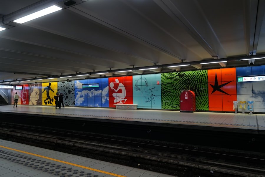
The trains are modern and well-maintained, featuring air conditioning and electronic displays that provide real-time information about arrivals and departures. The integration of the metro with other forms of public transport, such as buses and ferries, enhances its utility, allowing passengers to navigate the city seamlessly.
Key Takeaways
- Istanbul’s metro system is a convenient and efficient way to navigate the city, with modern trains and easy-to-use ticketing systems.
- Tourist destinations such as the Hagia Sophia, Grand Bazaar, and Taksim Square are easily accessible by the metro, making it a great option for sightseeing.
- Understanding the metro lines and transfers is essential for a smooth journey, as some stations require transfers to reach popular tourist spots.
- Tourists should consider purchasing an Istanbulkart for discounted fares and easy access to public transportation, including the metro, buses, and ferries.
- Beyond the metro, tourists can explore Istanbul’s hidden gems by connecting to buses and ferries, providing access to lesser-known attractions and neighborhoods.
Must-See Tourist Destinations Accessible by Metro
One of the most appealing aspects of Istanbul’s metro system is its accessibility to numerous tourist attractions. For instance, the iconic Taksim Square, a bustling hub known for its vibrant atmosphere and cultural significance, can be easily reached via the Taksim station on the M2 line. From Taksim, visitors can stroll down Istiklal Avenue, lined with shops, cafes, and historical buildings, leading them to Galata Tower, a medieval stone tower offering panoramic views of the city.
Another must-see destination is the historic Sultanahmet district, home to landmarks such as the Hagia Sophia and the Blue Mosque. Tourists can take the M2 line to Yenikapı station and transfer to the M1A line, which leads directly to Aksaray station. From there, a short tram ride on the T1 line will take them to Sultanahmet.
This efficient route allows visitors to explore some of Istanbul’s most significant historical sites without the hassle of navigating through traffic.
Navigating the Metro Lines and Transfers
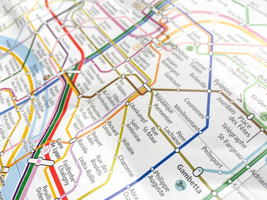
Navigating Istanbul’s metro lines can initially seem daunting due to the extensive network and multiple transfer points. However, with a little preparation, tourists can easily familiarize themselves with the system. The metro map is available in both Turkish and English, clearly indicating each line’s color-coded routes and station names.
The M1A, M1B, M2, M3, M4, M5, and M6 lines cover a wide range of areas, ensuring that most major attractions are within reach. Transfers between lines are generally straightforward, with well-marked signs guiding passengers through the process. For example, at Yenikapı station, travelers can switch from the M2 line to the M1A line with minimal walking distance between platforms.
Additionally, many stations are equipped with escalators and elevators, making it easier for those carrying luggage or traveling with children. Understanding how to read the metro map and plan routes in advance can significantly enhance the travel experience.
Tips for Using the Metro as a Tourist
| Tip | Description |
|---|---|
| Plan your route | Use a metro map to plan your route in advance and avoid confusion. |
| Buy a metro card | Purchase a metro card for easy and convenient access to the metro system. |
| Avoid rush hours | Avoid using the metro during peak hours to minimize crowds and long wait times. |
| Be mindful of pickpockets | Keep an eye on your belongings and be cautious of pickpockets in crowded metro stations. |
| Use metro apps | Download metro apps for real-time updates on schedules, delays, and station information. |
To make the most of Istanbul’s metro system, tourists should consider several practical tips. First and foremost, purchasing an Istanbulkart is highly recommended. This rechargeable smart card allows for seamless travel across all forms of public transportation in Istanbul, including buses, trams, ferries, and of course, the metro.
The card can be purchased at kiosks located in metro stations or at vending machines, making it convenient for first-time visitors. Another useful tip is to travel during off-peak hours whenever possible. The metro can become quite crowded during rush hours—typically from 7:30 AM to 9:30 AM and 5:00 PM to 7:00 PM—when locals are commuting to and from work.
By planning trips outside these times, tourists can enjoy a more comfortable ride and have a better chance of securing a seat. Additionally, keeping an eye on personal belongings is crucial in crowded spaces; using a crossbody bag or money belt can help ensure valuables remain secure.
Exploring Beyond the Metro: Bus and Ferry Connections
While the metro provides excellent coverage of Istanbul’s key areas, exploring beyond its confines can lead to even more enriching experiences. The city’s bus network complements the metro system by reaching neighborhoods that may not be directly accessible by train. Buses are frequent and cover a wide range of routes throughout Istanbul, making them an excellent option for reaching less touristy areas or hidden gems.
Ferries also play a significant role in Istanbul’s public transportation landscape. The Bosphorus Strait divides Europe from Asia, and taking a ferry ride offers not only a practical means of crossing but also stunning views of the city’s skyline. For instance, tourists can take a ferry from Eminönü to Üsküdar on the Asian side of Istanbul.
This journey provides an opportunity to experience local life on both sides of the strait while enjoying breathtaking vistas of landmarks like Dolmabahçe Palace and Maiden’s Tower.
Safety and Security on the Metro
Safety is a paramount concern for travelers using public transportation in any major city, and Istanbul is no exception. Fortunately, Istanbul’s metro system is generally considered safe for tourists. Security measures are in place at stations, including surveillance cameras and security personnel who monitor activities throughout the network.
Passengers are encouraged to remain vigilant and report any suspicious behavior to staff members. While incidents of petty crime can occur in crowded areas or during peak travel times, being aware of one’s surroundings can significantly reduce risks. It is advisable to avoid displaying valuable items such as expensive electronics or jewelry while traveling on the metro.
Additionally, keeping bags zipped and close to one’s body can help deter pickpockets who may target unsuspecting tourists.
Accessibility for Tourists with Disabilities
Istanbul has made strides in improving accessibility within its public transportation system, including the metro. Many stations are equipped with elevators and ramps to accommodate passengers with mobility challenges. Additionally, tactile guidance paths are installed in some stations to assist visually impaired travelers in navigating their way through platforms and exits.
However, it is important for tourists with disabilities to plan their journeys carefully. While many newer stations are accessible, older stations may lack adequate facilities or features that support those with mobility impairments. Checking accessibility information on official websites or consulting local resources can help ensure a smoother travel experience for individuals requiring special assistance.
Exploring Istanbul’s Hidden Gems via the Metro
Beyond the well-trodden tourist paths lie numerous hidden gems that can be easily accessed via Istanbul’s metro system. For example, taking the M2 line to Şişli-Mecidiyeköy station opens up opportunities to explore Nişantaşı—a chic neighborhood known for its boutique shopping and trendy cafes. This area offers a glimpse into contemporary Istanbul life away from the more tourist-centric locations.
Another hidden gem is Fenerbahçe Park on the Asian side of Istanbul. Visitors can take the M4 line to Kadıköy station and then hop on a bus or tram to reach this beautiful green space overlooking the Sea of Marmara. The park features walking paths, picnic areas, and stunning views of the water—perfect for those looking to escape the hustle and bustle of city life while still enjoying easy access via public transport.
In conclusion, Istanbul’s metro system serves as an invaluable resource for tourists seeking to explore this vibrant city efficiently and affordably. With its extensive network connecting key attractions and neighborhoods alike, navigating Istanbul becomes an enriching experience that reveals both its historical significance and modern charm.
If you’re planning a trip to Istanbul and want to explore the city using public transportation, be sure to check out the Istanbul Metro Map: Tourist Guide for an easy way to navigate the metro system. This helpful guide will provide you with all the information you need to get around the city efficiently and see all the top tourist attractions.
FAQs
What is the Istanbul Metro Map?
The Istanbul Metro Map is a visual representation of the metro system in Istanbul, Turkey. It shows the different metro lines, stations, and their connections.
How many metro lines are there in Istanbul?
As of 2021, Istanbul has 14 metro lines, including the M1A, M1B, M2, M3, M4, M5, M6, M7, M8, M9, M11, M12, M13, and Marmaray lines.
Is the Istanbul Metro Map useful for tourists?
Yes, the Istanbul Metro Map is very useful for tourists as it helps them navigate the city and reach popular tourist destinations such as Sultanahmet, Taksim Square, and the Grand Bazaar.
Where can tourists find the Istanbul Metro Map?
Tourists can find the Istanbul Metro Map at metro stations, tourist information centers, and online on the official website of Istanbul’s public transportation authority.
Are there any mobile apps for the Istanbul Metro Map?
Yes, there are several mobile apps available for both iOS and Android that provide the Istanbul Metro Map, along with real-time updates on train schedules and station information.
