The First to Bachalpsee trail is one of the easiest ways to reach a high-alpine lake above Grindelwald while still getting wide mountain views and strong photography opportunities. The standard walk starts at the Grindelwald-First mountain station, crosses open alpine terrain, and reaches Bachalpsee before returning the same way. For the best experience, plan around trail conditions, mountain weather, and the light you want for photos.
Quick Answer
The First to Bachalpsee hike is about 5.8 km round trip and is generally rated easy. Expect roughly 1 hour 40 minutes to 1 hour 50 minutes of walking, plus photo stops. The standout shots are the open alpine views and calm-water reflections at Bachalpsee, especially when Wetterhorn and Schreckhorn appear in the lake.
Key Takeaways
- The standard First-Bachalpsee-First route is about 5.8 km with roughly 202 m of ascent and descent.
- The route is easy by mountain-hiking standards, but weather can change quickly at elevations above 2,000 m.
- The direct trail is mainly open alpine terrain rather than a forest walk, so expect limited shade.
- Bachalpsee sits at 2,265 m and is best known photographically for mountain reflections in calm conditions.
- Check the live trail, cable-car, and weather status before you leave Grindelwald.
At a Glance
| Round-trip distance | About 5.8 km (3.6 miles) |
| Walking time | About 1 hr 40 min to 1 hr 50 min, not including long photo stops |
| Ascent / descent | About 202 m up and 202 m down |
| Difficulty | Easy, with an uphill start and rolling alpine terrain |
| Highest point | About 2,280 m; Bachalpsee is at 2,265 m |
| What to bring | Sturdy footwear, layers, sun protection, rain protection, water, snacks, and a charged phone |
| Cost | No separate trail fee; cable-car access to First is ticketed. Official 2026 listings show Grindelwald-First options from CHF 38, subject to ticket type and eligibility. |
First to Bachalpsee Trail Route Overview
The standard route begins at the First cable-car mountain station above Grindelwald. According to the route published by Grindelwald Tourism, the out-and-back hike is 5.8 km, takes about 1 hour 40 minutes of walking, gains and loses about 202 m, and is rated easy. Jungfrau Railways lists a similar overall time of about 1 hour 50 minutes.
The path starts with a noticeable climb, then continues across broad alpine meadows with gentler rises and dips. The return follows the same route, which makes the hike simple to navigate and lets you revisit the strongest photo locations in different light.
Note: Jungfrau Railways states that walking on mountain trails is at your own responsibility and that published trail conditions are recommendations. Check the live operating information before setting out.
The Iconic Grindelwald Valley Viewpoint
One of the first photography opportunities comes near First, where the high position opens broad views across the Bernese Alps and down toward Grindelwald. The wider First panorama can include famous peaks in the Jungfrau Region, but the exact mountains visible in a single frame depend on your position, direction, cloud cover, and lens choice.
For a stronger composition, use the valley as foreground depth rather than trying to fit every summit into one image. A wide lens or a phone’s main camera works well for the sweeping scene, while a short telephoto lens can isolate ridges, cliffs, or changing light on individual peaks.
The Enchanting Alpine Meadow
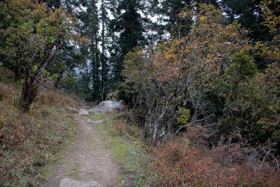
Beyond the opening climb, the route crosses open alpine meadows. Switzerland Tourism notes that hikers can see alpine plants along the walk, but the exact flowers you encounter depend on the month, elevation, and local growing conditions.
These meadow sections are useful for layered photos. Place grasses, flowers, rocks, or a curve in the trail in the foreground, then use the mountain skyline as the background. Stay on the marked route rather than stepping into vegetation for a photograph.
The Majestic Bachalpsee Lake
| Location | Above Grindelwald in the Bernese Oberland, Switzerland |
| Altitude | 2,265 m (7,431 ft) |
| Classic reflections | Wetterhorn, Schreckhorn, and other surrounding high peaks in calm conditions |
| Best photo condition | Low wind and clear or partly clear mountain visibility |
| Common activities | Hiking, photography, and picnicking |
Bachalpsee is the main destination and the strongest single photo stop on the hike. The Switzerland Tourism page places the lake at 2,265 m and highlights its mirror-like reflections, including Wetterhorn and Schreckhorn, when the water is calm.
Walk a short distance along the shore and compare angles before setting up a shot. A lower viewpoint can increase the amount of reflection in the frame, while a slightly higher position can show more of the shoreline and surrounding terrain. If the water is rippled, switch from reflection-focused images to wider landscape compositions.
Calm water matters more than expensive camera gear at Bachalpsee. A still morning can turn the lake into a much stronger natural mirror.
Facilities at First and Along the Route
The direct First-Bachalpsee route is not a village-to-village walk lined with chalets and restaurants. The verified route information lists Berggasthaus First as the main rest stop associated with the hike. Carry your own drinking water and snacks so you are not dependent on finding food at the lake.
If you want a longer hike with more varied lower-elevation scenery, routes continuing toward places such as Waldspitz or Bort are separate itineraries and should not be confused with the standard out-and-back walk to Bachalpsee.
The Spectacular Mountain Peaks
The mountains provide the visual structure for nearly every photograph on this hike. Around Bachalpsee, the most dependable named photo subjects in official tourism material are Wetterhorn and Schreckhorn, with other Bernese Alpine peaks appearing across the wider skyline.
Instead of assuming every famous summit will fit one viewpoint, identify the peaks that are actually visible when you arrive. Clouds can hide or reveal a summit within minutes, so keep your composition flexible and revisit the same scene if the light changes.
Trail Surface and Alpine Terrain
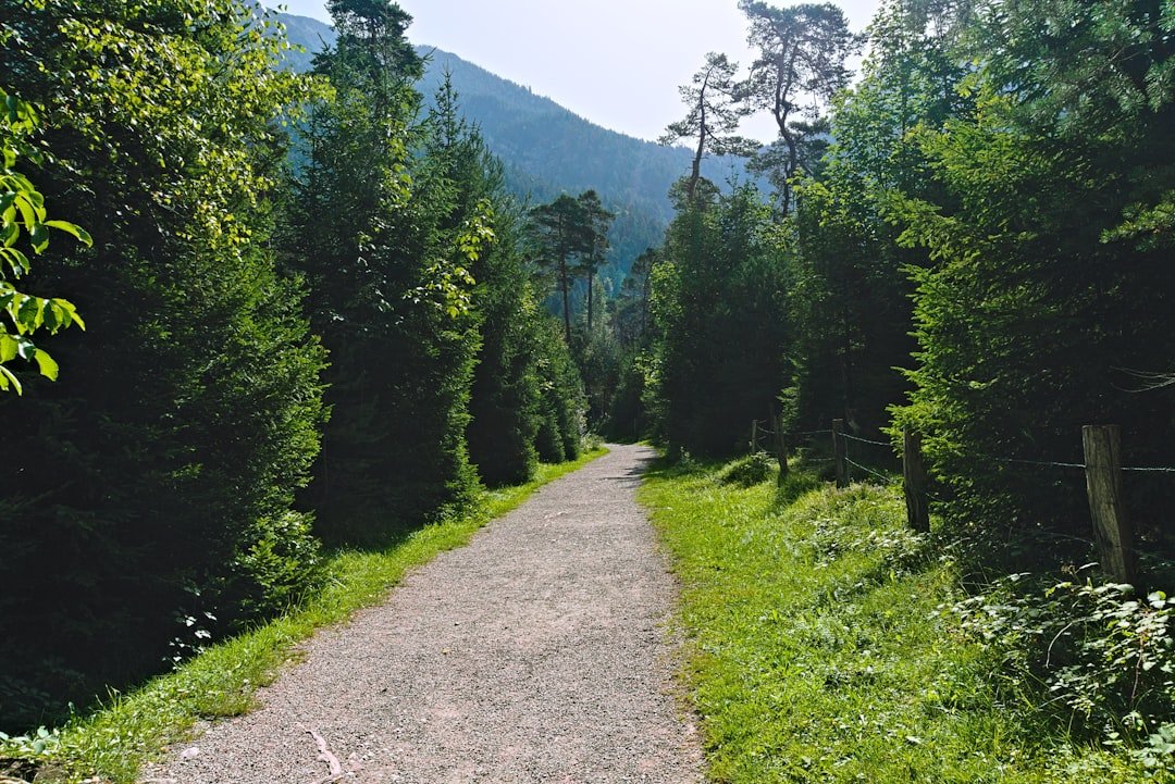
The direct route is primarily an open alpine hike, not a forest walk. The Grindelwald Tourism route description emphasizes a broad, well-developed path followed by alpine meadows and gentle ups and downs. That means you should expect limited shade and more exposure to sun, wind, and sudden weather changes than you would on a wooded trail.
Open terrain is excellent for photography because there are fewer visual obstructions, but it also makes weather more important. Sun protection, a light insulating layer, and rain protection can all be useful even on a warm day in Grindelwald.
Tips for Capturing the Perfect Shot
Start with the light. Switzerland Tourism specifically notes that early morning and calm conditions can be especially good for mountain reflections at Bachalpsee. Late-afternoon light can also add warmth and texture, but your return timing and cable-car plans come first.
- Use foreground: Include trail curves, grasses, rocks, or shoreline details to add depth.
- Change focal lengths: Use a wider view for the landscape, then zoom in for ridges, light patterns, and compressed mountain layers.
- Protect highlights: Snow, bright clouds, and reflective water can overexpose quickly, so check your exposure before taking a full series.
- Wait for the scene: Wind and cloud movement can change a lake reflection within minutes.
- Keep people small: A hiker in the frame can show the scale of the landscape without dominating it.
Pro Tip: If reflections are your priority, reach the lake as early as practical and photograph before walking farther around the shoreline. Wind often matters more than the exact camera you use.
When to Hike and What to Bring
For the classic snow-free version of the hike, Switzerland Tourism describes the walking season as early summer to autumn once the snow has melted. Conditions vary by year, and winter hiking is a different experience. Always confirm the current trail status before relying on a calendar month alone.
For a normal summer outing, bring sturdy and comfortable footwear, weather-appropriate layers, sun and rain protection, drinking water, snacks, and a charged phone. Those items match the equipment guidance on the route published by Grindelwald Tourism.
Warning: Mountain weather can change quickly. Check MeteoSwiss weather hazards, the official hiking-trail status, and your planned last descent from First before starting. Turn back if weather, visibility, trail conditions, or anyone in your group makes continuing unsafe.
Getting to First
Most hikers reach the start by taking the First cable car from Grindelwald to the First mountain station. The hike itself has no separate trail fee, but the cable car is ticketed. The Jungfrau Railways 2026 price page lists Grindelwald-First options from CHF 38, with the final price depending on the ticket, date, and eligibility for reductions.
Because operating times and conditions can change, use the official timetable and live operating page for your actual travel date rather than planning around an old schedule copied from a blog.
Frequently Asked Questions
How long is the First to Bachalpsee hike?
The standard out-and-back route from the First mountain station to Bachalpsee and back is about 5.8 km. Grindelwald Tourism’s verified route listing gives about 1 hour 40 minutes of walking time, while Jungfrau Railways lists about 1 hour 50 minutes. Allow extra time for photos, breaks, and changing conditions.
How difficult is the First to Bachalpsee trail?
The standard route is rated easy, but it is still a high-alpine walk with about 202 m of total ascent and descent. Wear sturdy footwear and be ready for sun, wind, rain, or rapid weather changes.
Where does the First to Bachalpsee trail start?
The walk starts at the Grindelwald-First mountain station above Grindelwald. Most visitors reach First by the First cable car and then follow the signed hiking route toward Bachalpsee.
What are the best photo spots on the First to Bachalpsee trail?
Strong photo locations include the opening panorama near First, the open alpine-meadow sections, and the Bachalpsee shoreline. At the lake, calm water can reflect peaks such as Wetterhorn and Schreckhorn.
What is the best time of day for Bachalpsee photos?
Early morning is especially good when winds are light because the lake is more likely to produce clean reflections. Late-afternoon light can also be attractive, but always leave enough time to return before your planned descent from First.
What is the best time of year to hike to Bachalpsee?
For a classic snow-free hike, go from early summer into autumn after the snow has melted. Exact conditions vary from year to year, so check the official trail status and mountain weather before setting out. Winter hiking is a separate experience and requires winter conditions to be taken seriously.
Is the First to Bachalpsee trail family-friendly?
The route is commonly described as easy and family-friendly for people who are comfortable walking on mountain paths. Families should still consider weather, footwear, sun exposure, and each child’s stamina before starting.
Do I need to pay to hike to Bachalpsee?
There is no separate hiking fee for the trail itself, but most visitors pay for cable-car access to First. Ticket prices and discounts vary, so check the current Jungfrau Railways fare page before your visit.
Sources
- Jungfrau Railways: Hike to Bachalpsee – official Bachalpsee hike overview, altitude, and operator safety note.
- Grindelwald Tourism: First – Bachalpsee – First No. 1 – verified route distance, time, elevation change, difficulty, route description, and equipment guidance.
- Switzerland Tourism: Lake Bachalp – lake elevation, hiking season guidance, alpine plants, and reflection photography.
- Jungfrau Railways: Live operating information – current cable-car and regional operating status.
- MeteoSwiss: Weather hazards – current official Swiss weather warnings.
- Jungfrau Railways: Prices and tickets – current Grindelwald-First ticket information.