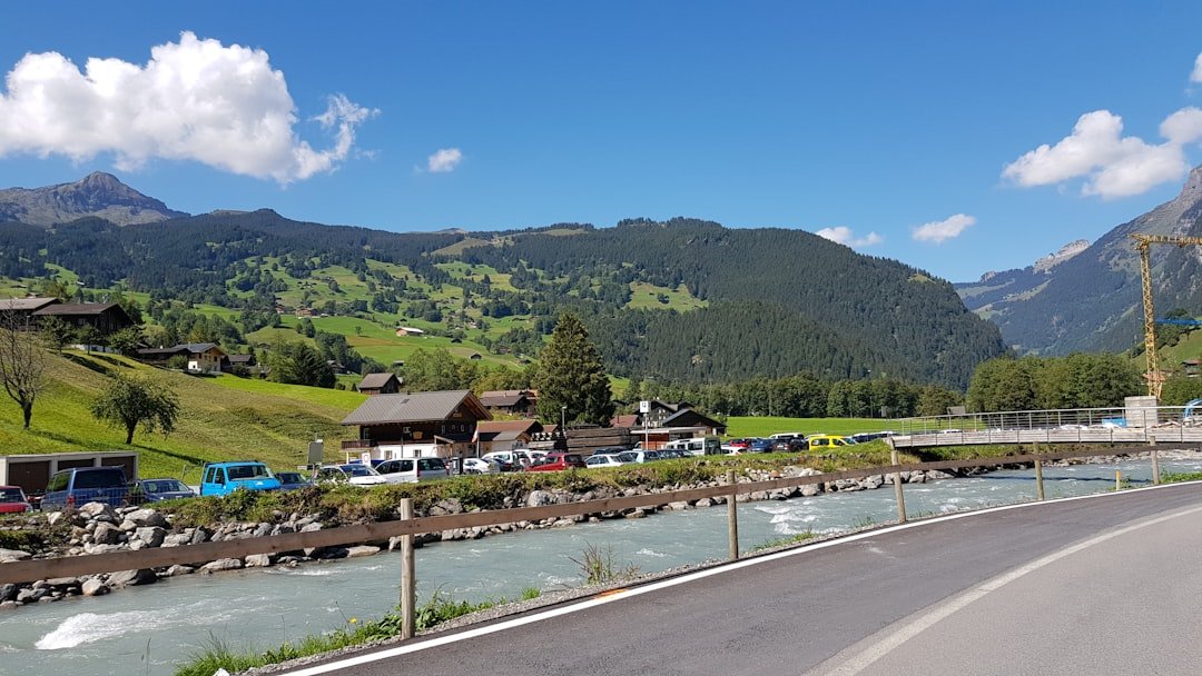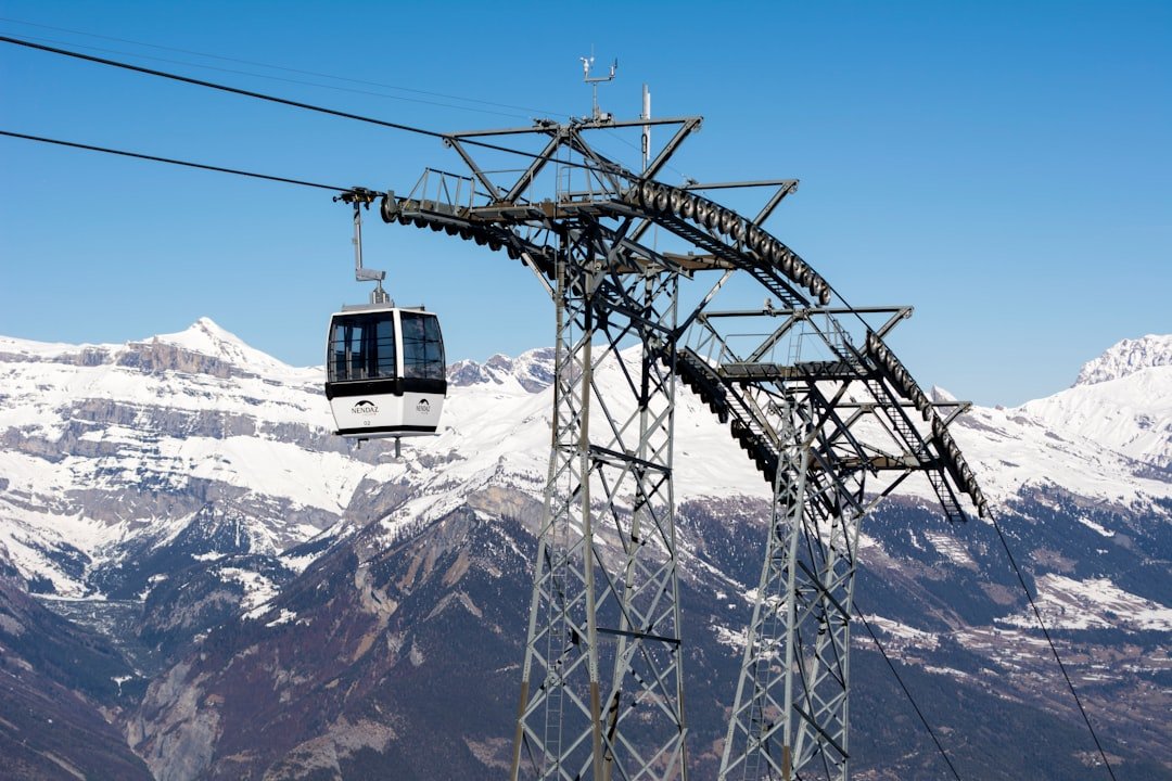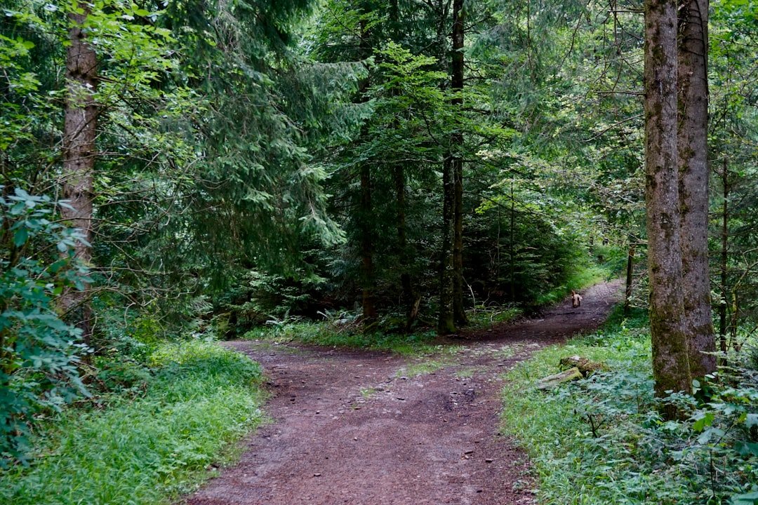
The hike from Gornergrat to Riffelalp is one of the most scenic downhill walks above Zermatt, with high-alpine terrain, mountain lakes, meadows, Swiss stone pine forest, and wide views across the surrounding peaks. The important part is choosing the correct route, because several trails connect the Gornergrat area with Riffelalp and their distance, difficulty, and hiking time are not the same.
Quick Answer
The Gornergrat to Riffelalp hike is best treated as a moderate high-mountain descent, not a simple stroll. Gornergrat Bahn lists its full Path of Silence option at 7.9 km and about 3 hours 15 minutes. Zermatt rates the core Route No. 24 as T3, so sturdy footwear, stable weather, and sure-footed hiking are important.
Key Takeaways
- Gornergrat Bahn lists the full Path of Silence itinerary to Riffelalp as 7.9 km, medium difficulty, and about 3 hours 15 minutes.
- Zermatt Tourism lists Path of Silence Route No. 24 itself as a 5 km, T3 mountain-hiking trail from Gornergrat to Grünsee, followed by roughly 40 minutes to Riffelalp.
- Gornergrat station is at 3,089 m and Riffelalp station at 2,211 m, creating a net elevation difference of roughly 878 m.
- Riffelsee is not a small detour on the Path of Silence. Choose the separate route via Riffelsee and Riffelberg if the Matterhorn reflection is a priority.
- Check current trail status, mountain weather, and the Gornergrat Railway timetable before starting.
At a Glance
| Full Path of Silence | 7.9 km according to Gornergrat Bahn |
| Time Required | About 3 hours 15 minutes for the full Gornergrat Bahn itinerary, before long meal or photo stops |
| Difficulty | Moderate; the core Path of Silence Route No. 24 is classified T3 by Zermatt Tourism |
| Elevation | Gornergrat 3,089 m; Riffelalp station 2,211 m; roughly 878 m net difference |
| Tools Needed | Grippy hiking footwear, rain protection, warm layer, water, food, route map or GPX; hiking poles are optional but useful on the long descent |
| Cost | No separate hiking fee is listed; Gornergrat Railway transport requires the appropriate ticket and fares vary by journey and date |
For the full Path of Silence itinerary from Gornergrat to Riffelalp, the most useful planning benchmark is 7.9 km and about 3 hours 15 minutes.
Trail Difficulty: What to Expect
The Gornergrat to Riffelalp hike is generally described as moderate, but that label needs context. Zermatt Tourism classifies Path of Silence Route No. 24 as a T3 mountain-hiking trail. It is therefore better viewed as a proper mountain hike than an easy sightseeing walk.
The route begins in rocky high-alpine terrain at more than 3,000 m. As you descend, the landscape changes to alpine meadows and eventually Swiss stone pine forest near Riffelalp. Parts of the trail can be rocky and uneven, so you should be comfortable placing your feet carefully on mountain paths.
The direction from Gornergrat toward Riffelalp removes almost all of the major climbing, but a long descent creates its own challenge. Your knees and leg muscles work continuously while descending, and loose stones or wet ground can make downhill sections more tiring than their distance suggests.
Warning: Do not treat the T3 classification as an easy beginner trail simply because most of the route goes downhill. Wear footwear with reliable grip, stay on the marked route, and turn back or use the railway if weather or trail conditions become unsafe.
Time Needed to Complete the Trail
There are two official figures worth understanding because they describe the route differently.
Gornergrat Bahn describes the full Path of Silence journey from Gornergrat to Riffelalp as 7.9 km with a hiking time of about 3 hours 15 minutes. This is the best single estimate if your goal is to complete the entire itinerary to Riffelalp.
Zermatt Tourism lists Route No. 24 itself as 5 km and about 1 hour 45 minutes from Gornergrat to Grünsee. From Grünsee, it estimates roughly another 40 minutes along the nature trail to Riffelalp. That produces a shorter theoretical walking estimate, but route recording, exact continuation, pace, and stops can create differences between published times.
For practical planning, allow at least the official 3-hour-15-minute benchmark for the full route and add extra time if you expect frequent photo stops, a meal break, slower movement over rocky ground, or changing weather.
Pro Tip: Plan your day around the railway connection you actually intend to use, not just the hiking time. Check the current Gornergrat Railway timetable before leaving Zermatt.
Factors Affecting Trail Difficulty and Time
| Factor | Effect |
|---|---|
| Route choice | Path of Silence and the route via Riffelsee follow different lines and have different distance and time figures. |
| Trail length | The full Path of Silence itinerary is longer than Route No. 24 measured only to Grünsee. |
| Long descent | Descending for hundreds of vertical metres can tire the knees and legs even without major climbing. |
| Trail surface | Rocky or uneven sections require slower, more deliberate footing. |
| Weather conditions | Rain, fog, lingering snow, cold, or thunderstorms can make mountain hiking slower and less safe. |
| Stops | Photography, wildlife watching, meals, and rest breaks can add substantial time. |
Altitude is another factor. The Gornergrat Railway carries visitors rapidly from Zermatt at roughly 1,600 m to Gornergrat at 3,089 m. Gornergrat Bahn notes that this ascent is generally well tolerated, but individuals respond differently to altitude.
If you develop a headache, dizziness, unusual fatigue, or nausea after reaching high altitude, do not continue upward. If symptoms worsen while resting, descending to a lower elevation is the safer response. Anyone with significant medical concerns about high-altitude travel should seek individualized medical advice before the trip.
Mountain weather also deserves attention. Conditions can change quickly, particularly around high, exposed terrain. Check the local forecast and MeteoSwiss hazard information before setting out.
Tips for Hiking the Gornergrat to Riffelalp Trail
Good preparation makes the descent more comfortable and reduces the chance that a manageable route becomes stressful.
- Wear grippy hiking footwear: Rocky and uneven sections call for much more traction than casual street shoes provide.
- Carry a rain shell and warm layer: Temperatures and weather can change quickly above 3,000 m.
- Bring enough water and food: Do not depend on finding refreshments exactly when you need them.
- Consider hiking poles: They can improve balance and reduce some of the strain during a long descent.
- Keep the route available offline: Save a map or GPX file before leaving if you use your phone for navigation.
- Protect yourself from the sun: High-altitude UV exposure can be strong even when temperatures feel cool.
- Allow a time buffer: Mountain scenery, photos, wildlife sightings, and uneven ground often make real-world hiking slower than a simple distance calculation suggests.
Starting earlier in the day often gives you more flexibility. It provides time for breaks, route decisions, changing conditions, and your planned railway connection from Riffelalp.
Note: Trail status matters more than the calendar. Gornergrat hiking routes are assessed locally, and Gornergrat Bahn advises against using a trail when its current status is shown as closed. Check the current hiking-trail information before departure.
Safety Precautions to Consider
Tell someone which route you intend to walk and when you expect to finish. Carry a charged phone, but do not assume that a phone replaces route planning, suitable clothing, or basic mountain awareness.
A compact first-aid kit is useful for problems such as small cuts and blisters. More importantly, pay attention to changing conditions and to your own energy level. A long mountain descent becomes riskier when fatigue begins to affect balance or concentration.
Stay on marked trails and respect closure notices. Do not enter glaciers without appropriate skills and professional guidance. If rain, fog, thunderstorms, snow, or another hazard makes the route questionable, changing the plan is better than forcing the hike.
Wildlife may be present in the Gornergrat area. Observe animals from a respectful distance and avoid following or approaching them for photographs.
Alternative Routes and Side Trips
The most important alternative is the route via Riffelsee and Riffelberg. Riffelsee is famous for views and reflections of the Matterhorn, but it should not be described as a tiny detour from the Path of Silence.
Path of Silence via Grünsee
This is the quieter option. Route No. 24 descends from Gornergrat toward Kelle and Grünsee before continuing toward Riffelalp. Gornergrat Bahn describes its complete Gornergrat-to-Riffelalp itinerary as 7.9 km and about 3 hours 15 minutes.
Route via Riffelsee and Riffelberg
If seeing Riffelsee is a priority, choose the separate route running between Gornergrat, Riffelsee, Riffelberg, and Riffelalp. Zermatt Tourism lists this line as 6.1 km from Riffelalp to Gornergrat and estimates about 2 hours in the opposite downhill direction.
This alternative keeps the Matterhorn and Riffelsee central to the experience, while the Path of Silence gives you a quieter route through a different part of the Gornergrat landscape.
Rotenboden to Riffelalp
If you prefer a shorter outing, another official option begins at Rotenboden rather than Gornergrat. Gornergrat Bahn lists the panoramic Rotenboden-to-Riffelalp walk via Riffelsee at 5.9 km and about 1 hour 30 minutes.
The best choice therefore depends on what matters most: a longer and quieter Path of Silence descent, a route centered on Riffelsee, or a shorter hike starting at Rotenboden.
Making the Most of Your Hike
The Gornergrat to Riffelalp hike works best when you decide on the exact route before leaving Zermatt. For the full Path of Silence itinerary, plan around the official 7.9 km and 3-hour-15-minute benchmark. Expect a substantial downhill walk from high-alpine terrain into meadows and forest, and treat the T3 classification seriously.
If the classic Matterhorn reflection at Riffelsee is your priority, choose the route via Riffelsee and Riffelberg instead of assuming the lake lies directly beside the Path of Silence.
Whichever route you choose, check trail status, weather, and railway times on the day of your hike. With suitable footwear, enough time, and a route matched to your ability, the descent gives you a varied look at the landscape between Gornergrat and Riffelalp without requiring you to climb the roughly 900 vertical metres in the opposite direction.
Frequently Asked Questions
What is the difficulty level of the Gornergrat to Riffelalp trail?
The Path of Silence is considered a moderate mountain hike. Zermatt Tourism classifies Route No. 24 as T3. Expect rocky and uneven ground plus a long descent, so good footwear and confident footing are important.
How long does it take to hike from Gornergrat to Riffelalp?
Gornergrat Bahn gives about 3 hours 15 minutes for its full 7.9 km Path of Silence itinerary. Your actual time can be longer if you stop frequently for photos, meals, wildlife, or rest.
Why does Zermatt list the Path of Silence as only 5 km?
Zermatt Tourism’s Route No. 24 measurement covers Gornergrat to Grünsee: 5 km and about 1 hour 45 minutes. It then lists Riffelalp as an additional continuation of roughly 40 minutes. Gornergrat Bahn publishes a 7.9 km, 3-hour-15-minute figure for its complete Gornergrat-to-Riffelalp itinerary.
Is Riffelsee on the Path of Silence?
No. The Path of Silence runs toward Kelle and Grünsee. For Riffelsee, choose the separate route between Gornergrat, Riffelsee, Riffelberg, and Riffelalp.
Is the Gornergrat to Riffelalp hike suitable for beginners?
A fit beginner who already feels comfortable on rocky mountain paths may manage it in good conditions, but the T3 classification means it should not be treated as an easy introductory walk. Less experienced hikers may prefer a shorter route from Rotenboden or another lower-grade trail.
Can I take the train back from Riffelalp?
Yes. Riffelalp is an intermediate station on the Gornergrat Railway. Check the current timetable and make sure your ticket covers the journeys you plan to take.
What can make the hike take longer?
Rocky terrain, wet conditions, lingering snow, fatigue, photography, meal stops, wildlife watching, and a slower downhill pace can all add time. Build a buffer into your schedule rather than planning around the published hiking time alone.
Should I check whether the trail is open before hiking?
Yes. Trail conditions can change because of snow, storms, maintenance, or other hazards. Check the official Gornergrat hiking information and local weather shortly before departure, and do not use a route listed as closed.
Sources
- Gornergrat Bahn: Path of Silence from Gornergrat to Riffelalp — full-route distance, difficulty, duration, route and landscape.
- Zermatt Tourism: Path of Silence No. 24 — T3 classification, 5 km route to Grünsee, descent, equipment and Riffelalp continuation.
- Zermatt Tourism: Swiss Topwalk No. 23 — alternative route via Riffelberg and Riffelsee.
- Gornergrat Bahn: Hikes on Gornergrat — current hiking-trail status guidance.
- Gornergrat Bahn: Railway Timetable — current seasonal railway schedules.
- MeteoSwiss: Weather Hazards — official Swiss weather-hazard information.