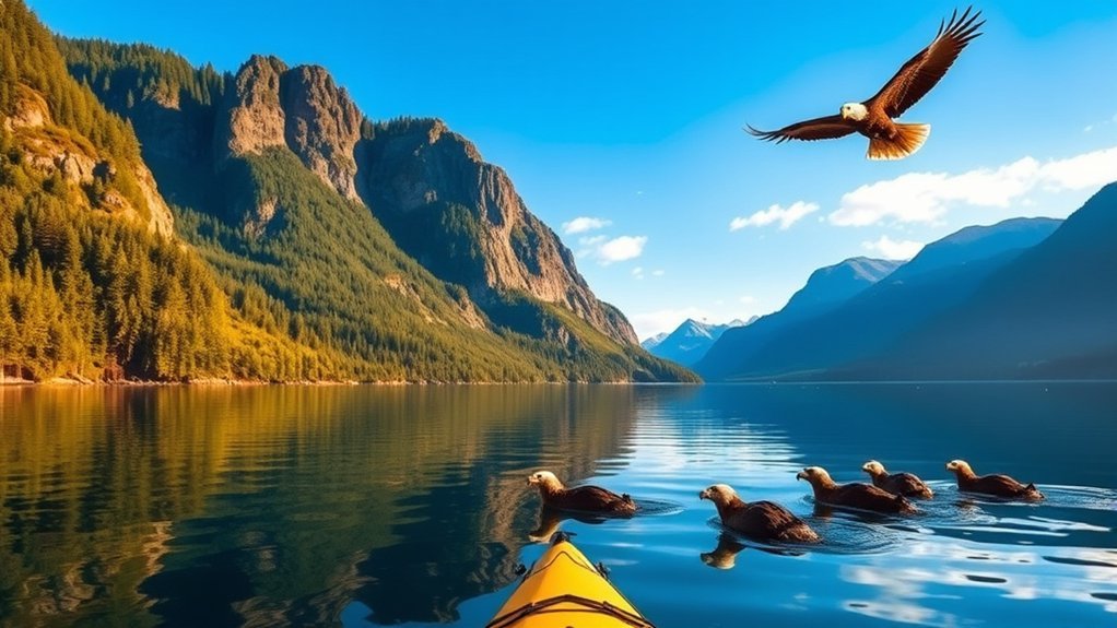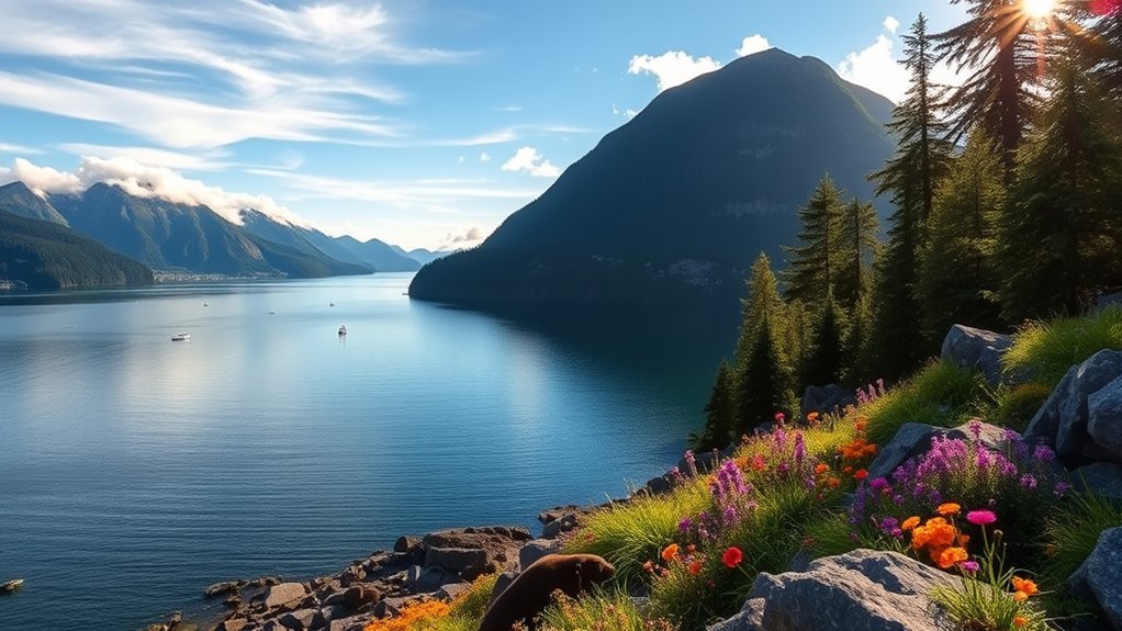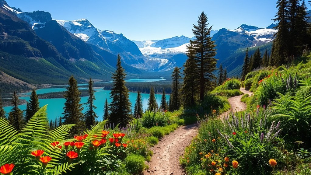
Some of the best hikes near Haines, Alaska range from gentle rainforest walks to steep alpine routes with sweeping views over the Chilkat Valley and Lynn Canal. Battery Point is a good choice for an easier outing, while Mount Riley and Mount Ripinsky offer bigger climbs. Coastal hikers can also explore Ayiklutu or walk beside the Chilkat River in the Bald Eagle Preserve.
Quick Answer
For an easy hike near Haines, start with Battery Point or the Chilkat Bald Eagle Preserve Riverside Trail. Choose Mount Riley for a moderate summit hike, Mount Ripinsky for a demanding alpine climb, or Ayiklutu for a longer coastal route through rainforest, beaches, and glacier views.
Mount Ripinsky Trail
Mount Ripinsky is one of the most challenging hikes close to Haines. It climbs from forest into alpine terrain and rewards experienced hikers with broad views toward Lynn Canal and the surrounding mountains.
There are several ways onto the Mount Ripinsky trail system. According to the Visit Haines Mount Ripinsky guide, trailheads include Skyline Road, Piedad Road, and the 7-mile Haines Highway approach.
The Piedad Road route is particularly direct, with fewer switchbacks and a steep climb. The 7-mile route crosses muskeg and forest before climbing toward the saddle and higher alpine terrain.
Experienced hikers may spend roughly 2 to 5 hours reaching the higher terrain or summit area, depending on route and conditions. A longer traverse from the 7-mile trailhead toward Main Street is about 10 miles and can require roughly 8 to 10 hours.
Expect roots, mud, steep grades, and potentially difficult route-finding higher on the mountain. Snowmelt can remain along the ridge in early summer, so carry reliable navigation and enough layers for rapidly changing conditions.
Chilkat Bald Eagle Preserve Riverside Trail
The Chilkat Bald Eagle Preserve Riverside Trail is one of the easier walking options north of Haines. It follows the Chilkat River through one of Alaska’s best-known bald eagle habitats and works well for hikers who prefer wildlife viewing to a steep climb.
The Alaska Chilkat Bald Eagle Preserve covers 48,000 acres along the Chilkat, Klehini, and Tsirku river systems. Alaska State Parks lists a roughly 2-mile riverside trail, along with viewing areas and facilities around the Council Grounds.
The main viewing pullouts are between Miles 18 and 21 of the Haines Highway. The preserve itself extends through a much larger area along the highway.
Bald eagles are present throughout the year, but Alaska State Parks says the largest congregation occurs in late fall and early winter. Moose, mountain goats, swans, and bears may also be seen.
Stay within designated viewing areas around feeding and roosting eagles. Giving wildlife space protects both the animals and visitors.
Battery Point Trail
Battery Point Trail is a gentle rainforest-and-coast hike close to downtown Haines. Its relatively mild terrain makes it a practical choice for families, casual hikers, and visitors with only a few hours available.
Trail Overview and Features
The trailhead is at the end of Beach Road. The official Haines visitor guide to Battery Point describes a gentle trail of about 1.2 miles through rainforest before it reaches the grassy and rocky shoreline.
From the beach, you can look toward Kelgaya Point, Kelgaya Bay, and Battery Point. You can extend the outing by continuing along the shoreline, so your total distance depends on where you turn around.
Allow at least about 45 minutes each way for the basic trail outing, and more if you spend time along the coast.
Wildlife and Scenic Views
The coastal setting makes Battery Point particularly good for marine wildlife and bird watching. Humpback whales, harbor seals, Steller sea lions, loons, scoters, cormorants, and murrelets are among the animals visitors may encounter.
Bears and moose also occur around Haines. Never approach wildlife for a photograph, and make your presence known when hiking through brush or areas with limited visibility.
Warning: Haines is bear country. Stay alert, avoid surprising bears, keep food under control, and carry bear spray where you can reach it quickly. Never run from a bear.
The National Park Service wildlife-safety guidance for Alaska recommends learning proper bear behavior before entering the backcountry and keeping deterrents such as bear spray readily accessible.
Ayiklutu Trail
Ayiklutu Trail is the main long coastal hike in Chilkat State Park. It combines rainforest, coves, rocky beaches, wildlife habitat, and distant views of Rainbow and Davidson glaciers.
The full route is roughly 6.8 to 7 miles one way. Alaska State Parks describes Ayiklutu as one of three main trails in Chilkat State Park, seven miles south of Haines on Mud Bay Road.
You do not need to hike the entire route. The first section to Moose Meadow takes about 45 minutes for many hikers and makes a manageable shorter outing.
Beyond Moose Meadow, the route moves between forest, coves, and rocky shoreline. The Visit Haines Ayiklutu guide warns that tides can trap hikers on sections of the coast.
Warning: Check the tide schedule before continuing beyond the easy first section of Ayiklutu. Rising water can cut off sections of the coastal route.
Use NOAA Tide Predictions when planning the coastal portion. If you intend to camp, carry enough drinking water or a suitable treatment system, and remember that David’s Cove includes private property where camping is not allowed.
Mount Riley Trail
Mount Riley is a moderate summit hike with several possible approaches. It is a good middle ground between the easy coastal trails and the more strenuous Mount Ripinsky routes.
The most direct access starts around Mile 3 of Mud Bay Road. Another approach begins from the access road toward Lily Lake, while a third branches from Battery Point Trail.
From Mud Bay Road or Lily Lake, the Haines Borough trail information describes the hike as about 2.8 miles to the summit. Many hikers allow roughly 2.5 hours each way.
The Battery Point approach is longer and includes steeper sections through forest before reaching muskeg near the summit route. That option can take about five hours round trip.
At the summit area, the reward is a broad view over Lynn Canal, Taiya Inlet, the Chilkat River, mountains, and glaciated terrain. Expect wet ground, roots, and changing footing even though the route is less severe than Mount Ripinsky.
7-Mile Saddle and Peak 3920 Route
The 7-Mile Saddle route is for experienced hikers who want a longer alpine day near Haines. It connects into the Mount Ripinsky trail system and involves steep climbing, exposed higher terrain, and more demanding navigation than the area’s coastal trails.
Route and Difficulty
The route begins around Mile 7 of the Haines Highway. It first crosses muskeg on boardwalk and then climbs through forest and brush toward the saddle.
From the saddle, the route steepens toward Peak 3920. The official Haines trail information advises allowing roughly 4 to 5 hours to reach this high point.
You can return the way you came or continue along the ridge as part of the longer Mount Ripinsky traverse. The complete traverse toward town is a major day hike rather than a casual afternoon walk.
Views and Navigation
The main reward is extended time above tree line with views across the Chilkat Valley, surrounding ranges, and Lynn Canal. Alpine wildflowers and berries can also appear during the warmer season.
Higher sections demand more care than the marked coastal trails. Early-summer snow, fog, rain, and low cloud can make the route harder to follow.
Carry an offline map plus a compass or another dependable navigation method. Do not assume a phone connection will be available when you need it.
Which Haines Hike Should You Choose?
The best trail depends mainly on your available time, fitness, and whether you want coast, wildlife, or alpine scenery. Haines has worthwhile options ranging from short rainforest walks to full-day mountain traverses.
| Trail | Typical Commitment | Difficulty | Best For |
|---|---|---|---|
| Battery Point | About 1.2 miles to the beach; allow at least 45 minutes each way | Easy | Families, rainforest, coast, wildlife |
| Chilkat Bald Eagle Preserve Riverside Trail | Up to about 2 miles of riverside trail | Easy | Birding and relaxed wildlife viewing |
| Ayiklutu | About 45 minutes to Moose Meadow; roughly 6.8–7 miles one way for the full route | Easy at first; more rugged farther out | Coastal hiking and glacier views |
| Mount Riley | About 2.8 miles to the summit from Mud Bay Road; roughly 2.5 hours each way | Moderate | A manageable summit hike |
| Mount Ripinsky | About 2–5 hours to higher terrain or summit depending on route; longer traverses take a full day | Difficult | Experienced hikers and alpine views |
The Visit Haines hiking guide is a useful starting point for the area’s primary maintained routes. Conditions can vary sharply with rain, snow, tides, and recent trail maintenance.
What to Pack for Hiking Near Haines
Even on a short hike, carry water, food, rain protection, extra warm clothing, a first-aid kit, and reliable navigation. Bear spray should be accessible rather than buried inside your pack.
For longer hikes, tell someone where you are going and when you expect to return. A two-way satellite communication device can add an important backup because cell service may be unreliable away from town.
Hiking With Dogs
Dogs can accompany hikers on many Haines-area trails, but keep them under close control. Alaska State Parks requires pets to be leashed in developed facilities such as campgrounds, parking areas, picnic areas, and trailheads.
Even where voice control is permitted in the backcountry, a leash is often the safer choice around bears, moose, other hikers, and wildlife.
Frequently Asked Questions
What is the best time of year to hike in Haines?
Late spring through early fall is generally the easiest period for conventional hiking near Haines. Lower coastal trails may be usable over a longer season, while snow can remain on alpine routes such as Mount Ripinsky into early summer.
Are guided hiking tours available in Haines?
Yes. Local Haines tour operators offer guided outdoor and wildlife experiences, including guided hikes during parts of the year. Availability and exact routes vary by operator and season, so confirm the trip details before booking.
What should I pack for hiking in Haines?
Pack water, food, rain gear, warm layers, sturdy footwear, navigation, a first-aid kit, and bear spray. For longer or remote hikes, leave a trip plan and consider carrying a two-way satellite communication device.
Are pets allowed on hiking trails near Haines?
Dogs are allowed on many Haines-area trails, but rules depend on the land manager. Alaska State Parks requires pets to be leashed in developed facilities and under control in the backcountry, and keeping a dog leashed is safer around wildlife.
Is there cell phone reception on Haines hiking trails?
Cell reception can be unreliable on trails around Haines, especially in mountainous or remote areas. Download maps before leaving town and do not depend on a phone connection as your only emergency or navigation plan.
Do I need to check the tide before hiking Ayiklutu Trail?
Yes. The longer sections of Ayiklutu Trail include coastal travel where rising tides can block passage. Check tide predictions before starting and leave enough time to clear exposed shoreline sections safely.
Conclusion
Haines gives you an unusually broad choice of hikes within a small area. Choose Battery Point or the Eagle Preserve for an easier walk, Ayiklutu for coastal exploration, Mount Riley for a moderate summit, or Mount Ripinsky and the 7-Mile route when you are prepared for a demanding alpine day.
Match the route to your experience, carry rain and wildlife-safety gear, and account for tides, snow, and changing mountain weather before leaving the trailhead.
Sources
- Visit Haines — Hiking & Trails: Primary Haines hiking routes, wildlife guidance, and general trail information.
- Visit Haines — Battery Point Trail: Trail length, access, hiking time, coastal views, and wildlife.
- Visit Haines — Mount Ripinsky & Tukgahgo Trails: Trailheads, difficulty, hiking times, traverse length, snow, and navigation.
- Visit Haines — Ayiklutu Trail: Distance, Moose Meadow access, tides, terrain, glacier views, and camping restrictions.
- Alaska State Parks — Chilkat State Park: Ayiklutu, Battery Point, Mount Riley, park access, and facilities.
- Alaska State Parks — Chilkat Bald Eagle Preserve: Preserve size, riverside trail, access, wildlife, and eagle viewing.
- NOAA Tide Predictions: Tide-planning resource for coastal hiking.
- National Park Service — Wildlife Safety in Alaska: Bear awareness and bear-spray safety guidance.