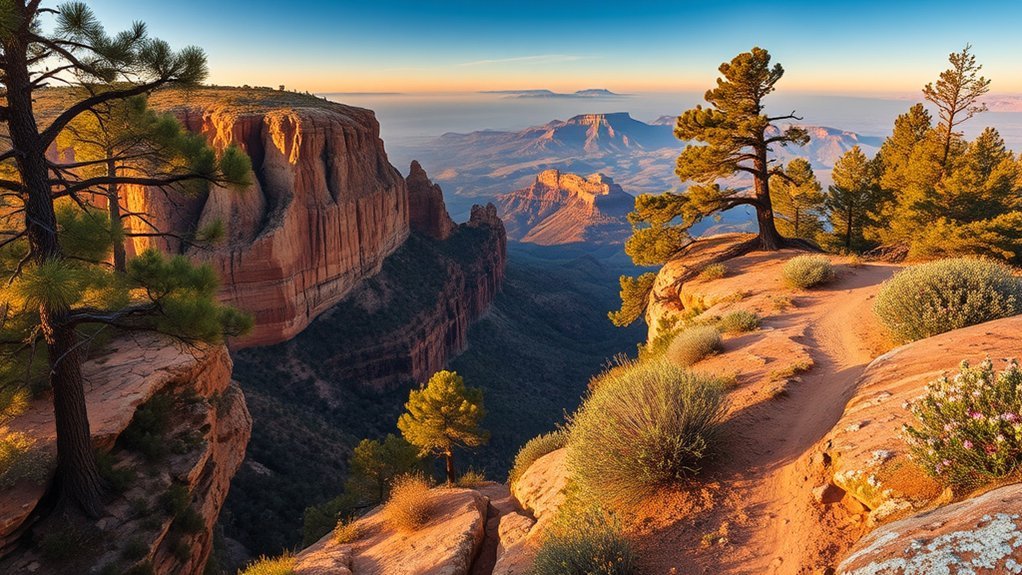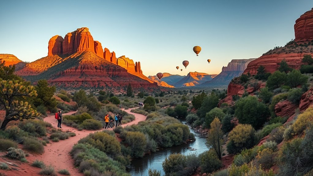
Sedona’s red rocks invite you to get outside, but the best trip mixes famous hikes with scenic drives, cultural sites, art, food, and time to slow down. You can scramble up Cathedral Rock, cruise State Route 179, explore centuries-old heritage sites, watch sunset from Airport Mesa, or spend a clear evening under Sedona’s protected night sky. Current trail and fire closures matter in 2026, so check access before setting out.
Quick Answer
The best things to do in Sedona include hiking Cathedral Rock and Devil’s Bridge, exploring Bell Rock, driving the Red Rock Scenic Byway and Oak Creek Canyon, visiting the Chapel of the Holy Cross, discovering heritage sites, browsing local art, watching sunset from Airport Mesa, and stargazing after dark.
Key Takeaways
- Start popular hikes early and use the free Sedona Shuttle when it serves your trailhead; parking at major trails can be limited.
- As of August 16, 2026, West Fork Trail remains closed, and Slide Rock’s swimming area is closed until October 1 unless officials change the order sooner.
- Cathedral Rock and Devil’s Bridge involve steep, exposed terrain, while Bell Rock Pathway and Red Rock State Park offer gentler alternatives.
- Sedona’s vortex tradition is a spiritual belief and personal experience, not a scientifically established form of Earth energy.
- Carry plenty of water, download offline maps, watch monsoon weather, and confirm current Forest Service and state-park alerts before entering remote areas.
Current closure alert: As of August 16, 2026, West Fork Trail No. 108 remains closed following the Pocket Fire, portions of the Oak Creek area remain under temporary closure, and Slide Rock State Park’s swimming area is closed until October 1, 2026 unless officials reopen it earlier. Conditions can change quickly, so check the Coconino National Forest alerts and Slide Rock State Park before traveling.
Before You Go: Closures, Passes, Shuttle, and Safety
Sedona’s most popular attractions sit across city, national-forest, and state-park land, so access rules vary. Before leaving your hotel or campground, check the land manager for the exact place you plan to visit. A road can be open while a nearby trail, swimming area, or day-use site remains closed.
- Use the Sedona Shuttle when practical: the free trailhead system serves several busy hiking areas, including Cathedral Rock, Dry Creek Vista, Mescal, Soldier Pass, and Little Horse during scheduled service. Check the current Sedona Shuttle schedule because operating days and frequency vary by season.
- Know the recreation-fee rules: parking at some Coconino National Forest recreation sites requires a Red Rock Pass or another accepted federal recreation pass. Check posted signs and the Coconino National Forest pass information for your destination.
- Plan for heat and exposure: many red-rock trails have little shade. Carry ample water, sun protection, food, and electrolytes for longer outings.
- Watch monsoon weather: summer thunderstorms can produce lightning, sudden runoff, and flash-flood danger in washes and narrow canyons. Do not enter a drainage when storms threaten upstream.
- Download maps: cell and GPS reception can weaken in canyons and remote forest areas. Save an offline map before leaving town and tell someone your route when hiking farther from busy trails.
- Respect fire restrictions and closures: temporary orders can change access with little notice, especially during active fire season.
Pro Tip: Build each day around one high-demand trail or attraction, then add nearby stops. Sedona traffic and trailhead access can make a geographically scattered checklist take much longer than it looks on a map.
Hike Cathedral Rock
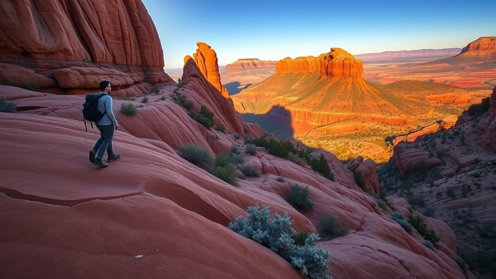
Cathedral Rock is short on mileage but serious about elevation and exposure. From the main Cathedral Rock trail access, the hike is roughly 1.2 miles round trip, with steep sandstone sections that can feel almost vertical. You will use your hands for balance on parts of the slickrock, but there are no iron rungs to climb.
Follow official trail markers and cairns instead of cutting across vegetation. Sturdy shoes with good traction help on the ascent and especially on the descent, when smooth sandstone and loose gravel demand attention. The saddle rewards the effort with broad views over the surrounding red-rock country.
Cathedral Rock is heavily visited, and vehicle access can be restricted when the Sedona Shuttle is serving the trailhead. Check Sedona Shuttle hiking guidance before you leave. Dogs may be allowed on applicable national-forest trails, but keep them leashed where required, carry extra water, and consider whether steep scrambling is appropriate for your dog.
Warning: Cathedral Rock has steep, exposed terrain. Turn around if rock is wet, lightning is nearby, heat is becoming a problem, or anyone in your group is uncomfortable with hands-on scrambling.
Explore Bell Rock Trail
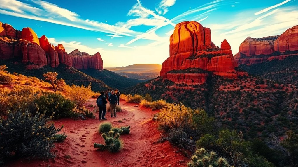
If Cathedral Rock sounds too steep, Bell Rock gives you more control over how hard you want to work. The Bell Rock Pathway is a popular multi-use trail running through open red-rock scenery near Bell Rock and Courthouse Butte. The official pathway is about 3.6 miles, but you can turn around early or combine it with connecting trails.
Stay on signed routes as you approach Bell Rock. Informal slickrock lines become steeper and less obvious higher on the formation, so you do not need to climb toward the top to enjoy the view. The lower pathway works well for walkers who want scenery without committing to a technical scramble.
Morning and late afternoon bring cooler temperatures and softer light. The pathway is shared by hikers and mountain bikers, so listen for approaching riders, yield appropriately, and avoid stopping in the middle of narrow sections. The Coconino National Forest Bell Rock Pathway page is the best place to check official trail information.
Visit Chapel of the Holy Cross
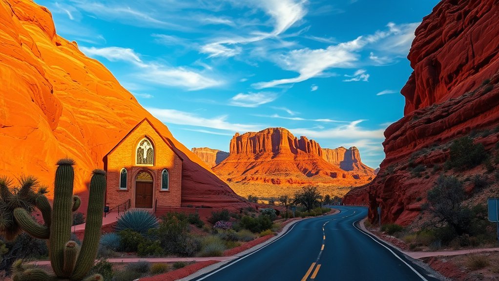
The Chapel of the Holy Cross combines modern architecture, religious significance, and one of Sedona’s most recognizable settings. Built high among red-rock formations, the chapel is both an active Catholic sacred space and a popular visitor attraction. Current public hours are generally 9 AM to 5 PM daily, with last entry at 4:45 PM, but check the official chapel hours before you go because worship, holidays, weather, or special events can affect access.
Architectural Highlights and History
The chapel was inspired and commissioned by Marguerite Brunswig Staude and was completed in 1956. Its history is sometimes simplified into a Frank Lloyd Wright connection, but that can be misleading. Staude’s earlier plans for a European church involved architect Lloyd Wright, Frank Lloyd Wright’s son; the later Sedona project became the chapel visitors see today. The chapel’s own history page explains the project’s development.
Inside, the restrained sanctuary directs attention toward the cross, windows, and surrounding landscape rather than ornate decoration. Outside, terraces and approach areas provide broad views across Sedona. Keep voices low and remember that this is a functioning place of worship rather than only a sightseeing stop.
- Modern architecture integrated into steep red-rock terrain
- A monumental cross that dominates the main facade
- A compact interior designed for worship and contemplation
- Panoramic views from the approach and exterior areas
- A history tied to Staude’s long-running vision for a landmark church
Visiting Hours and Access
Plan around the current 9 AM–5 PM visiting window and arrive well before closing. Admission is free, although donations are accepted. Parking near the top is limited, and busy periods can require patience on Chapel Road. Follow staff and traffic directions rather than stopping along the road.
Accessible parking and assistance are available, but the site sits on a steep slope, so visitors with limited mobility should review the chapel’s current accessibility information before arrival. Photography should remain respectful, particularly during prayer or worship.
Nearby Viewpoints and Trails
You do not need an unofficial scramble around the chapel to get a strong view. The approach, exterior plaza, and designated overlooks provide excellent perspectives of the building and surrounding formations. For a separate hike, use established trailheads along the SR 179 corridor, such as Little Horse or Bell Rock/Courthouse Vista, rather than following unmarked paths around the chapel property.
- Chapel exterior viewpoints: easiest way to photograph the structure against the red rocks
- Little Horse area: established national-forest trail access along the SR 179 corridor
- Bell Rock and Courthouse Vista: broad red-rock scenery south of central Sedona
- Yavapai Vista area: convenient scenic stop along the same corridor
- Chapel Road: stay within designated pedestrian and parking areas rather than stopping in traffic
Drive the Red Rock Scenic Byway
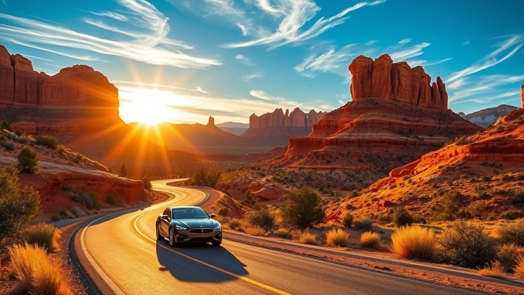
The Red Rock Scenic Byway follows State Route 179 south of Sedona through some of the area’s most recognizable formations. The federally designated route is only about 7.5 miles, so you could drive it quickly, but trailheads, overlooks, and side stops can easily turn it into a half-day outing. See the Federal Highway Administration byway listing for the official route.
Scenic Overlooks and Pullouts
Keep your stops to designated parking areas and trailheads. The scenery changes from wide-open views near the Village of Oak Creek to taller formations as you approach central Sedona.
- Bell Rock and Courthouse Vista: easy access to views and connecting trails
- Yavapai Vista: a useful scenic stop with red-rock panoramas
- Little Horse trailhead: access to established hiking routes
- Chapel Road turnoff: access toward the Chapel of the Holy Cross
- SR 179 viewpoints: use designated pullouts rather than road shoulders
Oak Creek Vista is not on this byway. It lies north of Sedona along SR 89A and belongs with an Oak Creek Canyon drive.
Best Times to Drive
Early morning and late afternoon usually offer softer light and less heat. Weekends and holiday periods can bring heavy traffic, particularly around trailheads and roundabouts. Midday can work well if you are using the drive to connect indoor attractions, lunch, or shorter walks rather than chasing ideal photography light.
| Time of Day | Why Go |
|---|---|
| Sunrise | Cool temperatures, softer light, lighter early traffic |
| Midday | Convenient for short stops and indoor attractions |
| Golden Hour | Warm color and stronger rock texture |
| Night | Use caution; scenery is harder to see and wildlife may be active near roads |
Watch a Sedona Sunset From Airport Mesa
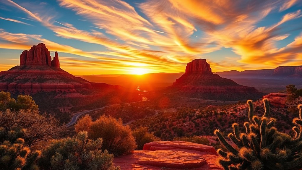
Airport Mesa is one of Sedona’s best-known sunset areas because it gives you a wide view over town and the surrounding formations without requiring a long backcountry hike. The tradeoff is popularity. Parking near the overlook is limited, and the area can become busy well before sunset.
- Best timing: arrive 45–60 minutes before sunset if you want time to park and choose a safe viewing spot.
- Access: expect uneven rock and short walking sections around viewpoints.
- Photography: a wide lens works well, but keep tripods out of busy walking routes.
- Safety: carry a light for the walk back after sunset and stay away from exposed edges.
- Etiquette: leave room for other visitors and avoid playing amplified music at viewpoints.
Stay through early twilight if conditions are safe. The rocks often retain warm color after the sun itself disappears, while the first bright stars and planets begin to appear overhead.
Take a Pink Jeep Tour

An organized Jeep tour is useful when you want red-rock scenery without planning every road, trailhead, and viewpoint yourself. Routes range from relatively gentle sightseeing to much rougher four-wheel-drive terrain, so read the operator’s description carefully before booking.
Guides commonly discuss geology, plants, wildlife, local history, and the surrounding landscape while making designated photo stops. The rougher tours can involve sharp bumps, steep grades, and substantial vehicle movement. Travelers with back, neck, pregnancy, mobility, or motion-sickness concerns should check the operator’s restrictions before choosing a route.
Wear closed-toe shoes, sun protection, and layers. Secure phones and cameras rather than holding loose gear over the side of a moving vehicle. If interpretive discussion includes Indigenous history, treat a guide’s overview as an introduction rather than a substitute for information from Tribal communities and archaeological authorities.
Walk the Devil’s Bridge Trail
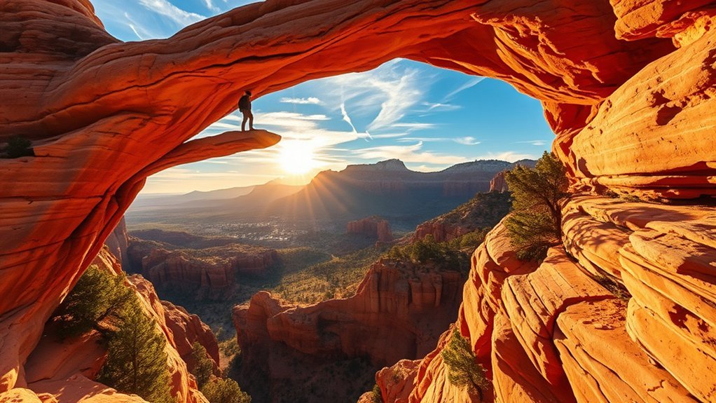
Devil’s Bridge is one of Sedona’s most photographed natural features, but there is no single universal trail distance because hikers reach it from several access points. Current Sedona Shuttle guidance lists common options at roughly 4.0 miles round trip from Mescal, 3.9 miles via Forest Road 152, or about 5.7 miles via Chuckwagon from Dry Creek Vista.
The final approach becomes steeper and includes rock steps. The sandstone bridge itself is wider than some photographs make it appear, but it still has exposed drop-offs and can become congested while visitors wait for photos. You never need to walk onto the arch to enjoy the formation.
- Difficulty: moderate overall, with steeper rock steps near the end
- Best time: early morning for cooler temperatures and lighter crowds
- Access: choose your route before starting and use the shuttle when it serves your chosen trailhead
- Safety: stay well back from edges if heights make you uncomfortable
- Photography: take turns efficiently rather than blocking the viewpoint for long sessions
Note: Search results and hiking apps often quote different Devil’s Bridge mileage because they start the measurement from different parking areas or connecting trails. Match the mileage to your actual starting point.
Stroll Tlaquepaque Arts & Shopping Village
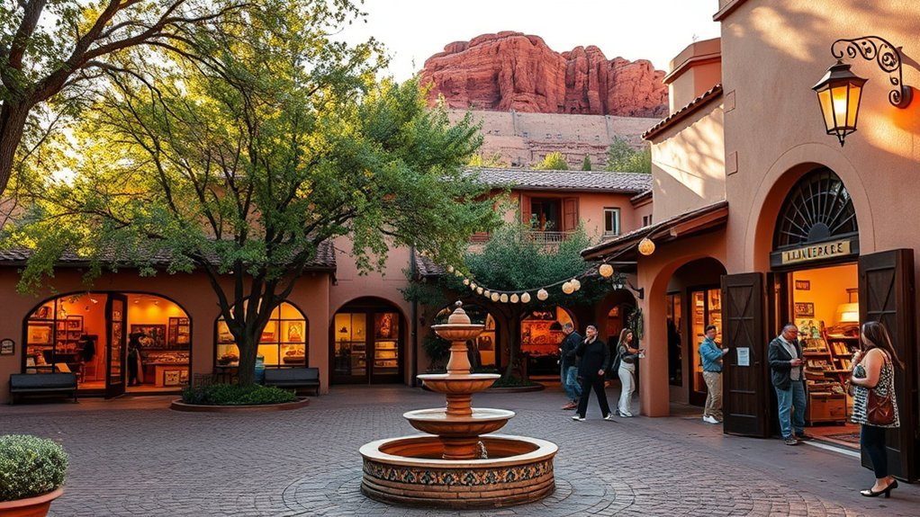
Tlaquepaque Arts & Shopping Village gives you an easy break from hiking. Its courtyards, archways, fountains, galleries, boutiques, restaurants, and studios create a compact place to browse for an hour or spend much of an afternoon.
Look for painting, sculpture, glass, jewelry, ceramics, photography, and Southwestern work. When a shop represents Indigenous-made jewelry or art, ask who the artist is, which community they belong to, and whether the seller can provide clear provenance rather than assuming every Southwestern-looking piece is Indigenous-made.
Seasonal events, demonstrations, music, and gallery openings can change the atmosphere from day to day. Parking around central Sedona can fill quickly, so combine Tlaquepaque with nearby dining or other walkable stops instead of repeatedly moving your car.
Experience a Vortex Site
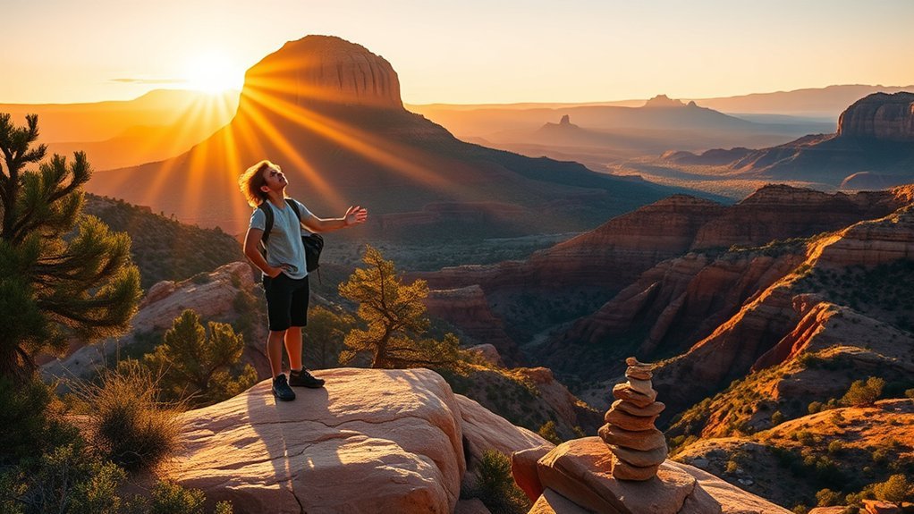
Sedona’s “vortexes” are places that many visitors and spiritual practitioners believe have distinctive or concentrated energy. The tradition has become an important part of Sedona’s wellness culture, particularly around Airport Mesa, Bell Rock, Cathedral Rock, and Boynton Canyon. You can engage with that tradition through meditation or quiet reflection without treating the claimed energy as scientifically proven.
What Is a Vortex?
In Sedona tourism and spiritual practice, a vortex is generally described as a location where people report an unusual sense of energy, calm, focus, inspiration, or emotional intensity. Those experiences are personal and may be meaningful to visitors, but there is no established scientific evidence that these sites emit a special healing energy. The landscape, expectations, solitude, weather, exertion, sound, and dramatic scenery can all shape how a place feels.
If the idea interests you, approach it as a spiritual or contemplative tradition rather than a measurable physical phenomenon. The official Sedona tourism overview explains the local vortex tradition.
- Some visitors report calm, focus, or emotional reflection.
- Others notice nothing unusual beyond the scenery.
- Meditation and quiet sitting can still be worthwhile regardless of belief.
- Physical sensations during a hike can also come from heat, altitude, exertion, dehydration, or anxiety.
- No particular experience is required for a visit to be meaningful.
Best Vortex Locations
The four locations most commonly associated with Sedona’s vortex tradition are Airport Mesa, Cathedral Rock, Bell Rock, and Boynton Canyon. Choose based on hiking ability and the experience you want rather than trying to visit every location.
- Airport Mesa: relatively convenient for broad views and sunset
- Bell Rock: flexible lower routes with optional steeper slickrock
- Cathedral Rock: dramatic but physically demanding
- Boynton Canyon: a longer hiking setting with substantial red-rock scenery
Go early for a quieter atmosphere, stay on established trails, and avoid blocking narrow viewpoints while meditating or taking photographs.
How to Feel Energy
If you want to explore the spiritual tradition, keep the practice simple and safe. Sit or stand in a stable location, slow your breathing, listen to the surroundings, and notice your thoughts without trying to manufacture a sensation.
- Spend five quiet minutes observing your breathing.
- Notice wind, temperature, sound, and the texture of the landscape.
- Walk slowly on established trails rather than wandering onto fragile vegetation.
- Journal or photograph the setting if that helps you reflect.
- Treat tingling, dizziness, or light-headedness as possible physical symptoms first; rest, hydrate, cool down, and seek help if needed.
Whether you interpret the experience spiritually or simply enjoy a quiet moment outdoors, respect the land and other visitors.
Hike West Fork Trail When It Reopens
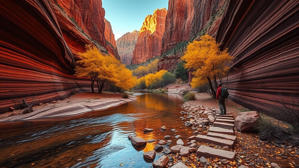
West Fork Trail No. 108 is closed as of August 16, 2026 under the current Pocket Fire-related closure. Do not bypass gates, barriers, closure signs, or temporary orders. Check the Coconino National Forest alerts page for reopening information before planning this hike.
When open, West Fork is one of the most distinctive hikes in Oak Creek Canyon. The first several miles follow a relatively gentle canyon route beneath cliffs and trees, with repeated creek crossings and cooler conditions than many exposed Sedona trails. The official trail can continue much farther into the canyon than casual day hikers usually travel.
| Feature | What to Expect |
|---|---|
| Current status | Closed as of August 16, 2026; verify before travel |
| Typical first section when open | Gentle canyon hiking with repeated creek crossings |
| Best conditions | Cooler mornings; fall is popular when the trail is legally open |
After reopening, expect wet or slippery crossings depending on water level. Quick-drying footwear can be useful, and autumn weekends can be especially crowded.
Enjoy Red Rock State Park
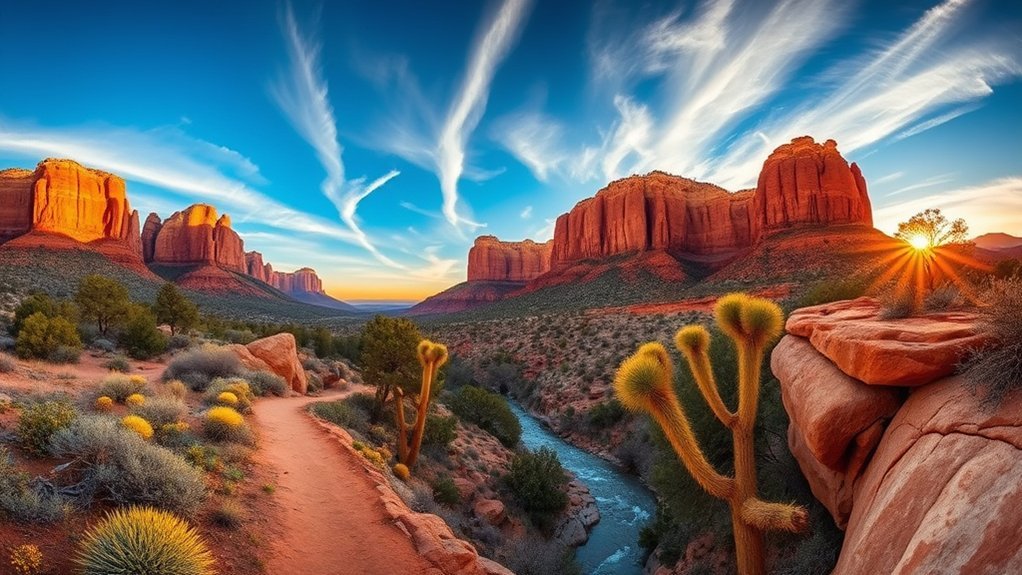
Red Rock State Park is a 286-acre nature preserve and environmental education center along Oak Creek. It is a good choice when you want shorter, well-defined hiking loops and interpretive programming instead of a major summit.
Two restrictions matter: pets are not allowed in the park, and swimming is prohibited. As of August 2026, regular park hours are generally 8 AM–5 PM, with last entry at 4:30 PM. Current admission is $10 for visitors age 14 and older, $5 for ages 7–13, and free for children 6 and younger; verify prices before arrival because fees can change.
Best Hiking Trails
The park has roughly five miles of interconnected trails. Unlike the original list, Wilson Mountain, Mescal, West Fork, and Crescent Moon are not Red Rock State Park’s internal hiking network. Use the official park trail map and descriptions.
- Eagle’s Nest Loop: climbs to the park’s highest viewpoint, gaining roughly 300 feet
- Apache Fire Loop: connects scenic portions of the park’s trail system
- Coyote Ridge Trail: useful for linking loops and viewpoints
- Kisva Trail: part of the interconnected trail network near Oak Creek
- Yavapai Ridge and Javelina trails: additional options for creating a longer park walk
Bring water, sun protection, and shoes suited to dirt and rocky surfaces. Even short trails can feel hotter than expected in exposed afternoon sun.
Wildlife & Birdwatching
Oak Creek, cottonwoods, open grassland, and pinyon-juniper habitat make the park useful for birding and wildlife observation. Mule deer, small mammals, raptors, and numerous bird species may be seen, but sightings are never guaranteed.
Move quietly, keep a respectful distance, and never feed wildlife. Early morning is often a pleasant time to walk because temperatures are cooler and human activity is lower. Binoculars let you observe animals without approaching nests, resting areas, or creek habitat.
Picnic Spots & Views
Use the park’s designated picnic and visitor areas rather than treating nearby national-forest recreation sites as part of Red Rock State Park. A simple picnic paired with a short trail loop can make the park a comfortable half-day stop for families and visitors who do not want a strenuous hike.
- Visitor-center area: convenient for orientation and facilities
- Designated picnic areas: appropriate places to stop for lunch
- Eagle’s Nest viewpoints: broad views after a moderate climb
- Creekside habitat: best appreciated from legal trails; swimming is not allowed
- Ranger and educational programs: check the current schedule for guided activities
Visit Slide Rock State Park
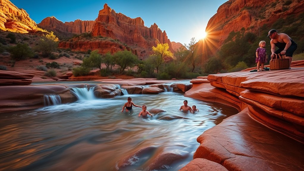
Slide Rock State Park is famous for a naturally water-smoothed sandstone chute in Oak Creek, but the swimming area is temporarily closed until October 1, 2026 under the current Pocket Fire-related restrictions unless the closure is lifted earlier. Check the official Slide Rock State Park page immediately before visiting.
When swimming is open, the creek is not a managed waterpark. There is no lifeguard on duty, the sandstone can be extremely slippery, water can be very cold, and changing creek conditions create real risk. Follow all posted rules and treat swimming or sliding as an outdoor natural-water activity undertaken at your own risk.
The park also has historic orchard scenery, short walking areas, picnic facilities, and views of Oak Creek Canyon, so a visit can still have value when particular water areas are unavailable if the rest of the park is legally open. Current access rules can also restrict walk-in, bicycle, or drop-off entry during busy periods or closures.
| Feature | Current / Practical Note |
|---|---|
| Natural slide | Swimming area closed until October 1, 2026 unless reopened sooner |
| Lifeguard | No lifeguard on duty |
| Sandstone | Can be algae-covered and extremely slippery |
| Access | Check current park entry and closure rules before driving up the canyon |
Explore Oak Creek Canyon
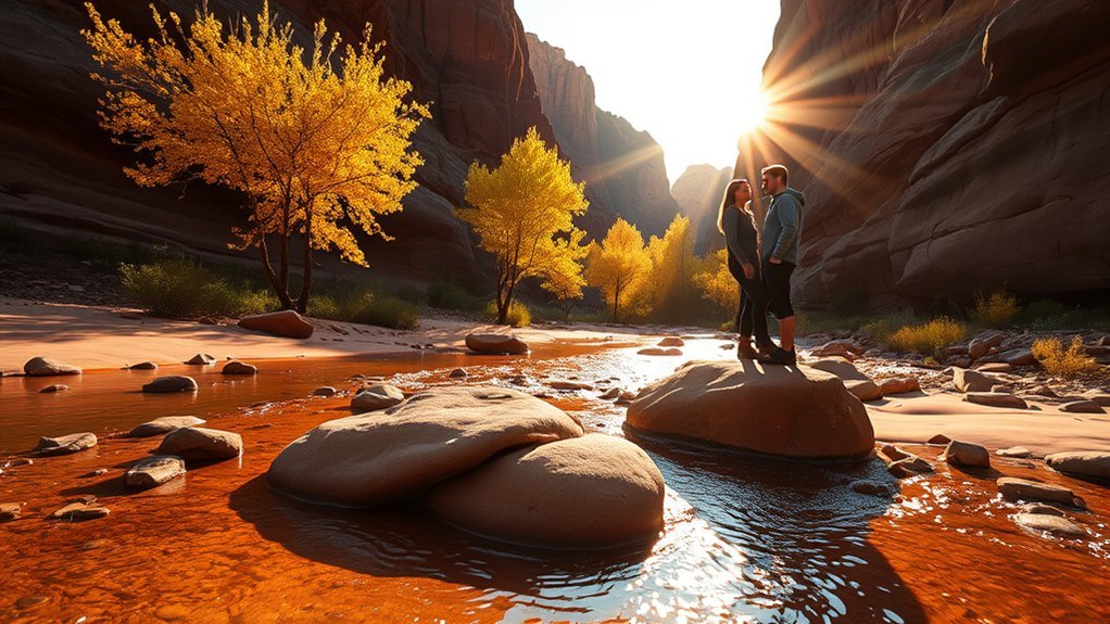
Oak Creek Canyon stretches north from Sedona along State Route 89A, where red walls, forest, creek habitat, and changing elevation create a different landscape from the open formations south of town. The federally recognized Oak Creek Canyon scenic route covers about 14.5 miles.
As of August 16, 2026, some recreation areas and trails in the broader Oak Creek area remain affected by Pocket Fire-related closures. A road being passable does not mean every trailhead, picnic site, or swimming area is open. Check current Forest Service alerts before building a day around creek access.
Scenic Drive Views
SR 89A twists through the canyon before climbing a series of switchbacks toward the Mogollon Rim. Designated pullouts provide safer photo opportunities than roadside shoulders. Oak Creek Vista belongs on this route, not on the SR 179 Red Rock Scenic Byway.
- Stop only at legal pullouts and recreation sites.
- Expect cooler temperatures as elevation increases.
- Allow extra following distance on tight curves.
- Watch for cyclists, pedestrians, wildlife, and sudden traffic backups.
- Check weather and closure notices before leaving Sedona.
Creekside Hiking Trails
When open, Oak Creek Canyon offers shaded walks and trails that cross or follow water. West Fork is the best-known example, but it remains closed as of August 16, 2026. Do not substitute an unofficial creek route or closed side canyon simply because a preferred trail is unavailable.
For any open creekside trail, bring shoes that handle wet rock, protect electronics, and expect slower travel around crossings. A downloaded map is useful because cell reception can weaken beneath canyon walls.
Swimming & Picnic Spots
Oak Creek has several established recreation sites, but legal swimming and picnic access changes with closures, water quality, fire conditions, and seasonal management. Slide Rock’s swimming area is currently closed through September 30, with reopening scheduled for October 1 unless officials revise the order.
- Slide Rock: famous natural slide; swimming currently closed under the 2026 order
- Established day-use areas: use only those shown as open by the Forest Service or Arizona State Parks
- Oak Creek Vista: scenic overlook rather than a swimming stop
- Creek access: never assume an informal roadside path is legal or safe
- After storms: avoid entering fast, muddy, or rising water
Take a Hot Air Balloon Ride
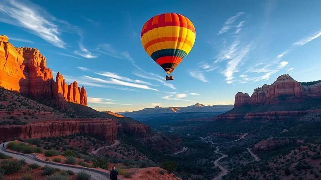
A sunrise balloon flight shows Sedona’s broader landscape without a strenuous hike. Flights are strongly weather-dependent, and the launch location, route, altitude, duration, and landing point can change with wind.
Choose an established operator using appropriately qualified commercial balloon pilots, review its safety briefing and cancellation policy, and tell the company about mobility or health concerns before booking. Passengers generally need to stand for the flight and follow a specific landing posture when instructed by the pilot.
Wear closed shoes and layers suitable for the early-morning temperature. Do not count on a specific red-rock formation passing directly beneath you because balloons drift with available winds. The unpredictability is part of the experience.
Tour Local Art Galleries
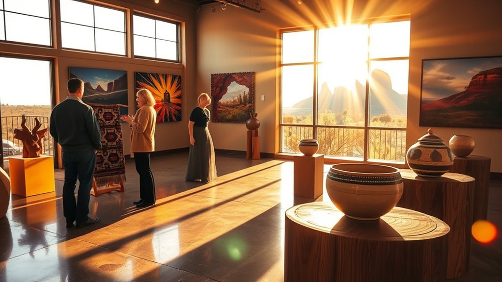
Sedona’s gallery scene makes a useful indoor or low-exertion counterpoint to hiking. You will find painting, sculpture, photography, jewelry, glass, ceramics, and mixed-media work ranging from contemporary interpretations of the landscape to traditional forms.
- Browse Tlaquepaque and nearby gallery districts for a concentrated selection.
- Ask whether the artist is local and whether a piece is original, editioned, or reproduced.
- For Indigenous-made work, ask for the artist’s name and cultural affiliation rather than relying on vague “Native-inspired” labeling.
- Check gallery policies before photographing artwork.
- Consider smaller works, prints, or jewelry if you need something easier to transport.
Gallery conversations are often more useful than rushing from shop to shop. Ask about materials, process, and the artist’s relationship to the region before deciding what resonates with you.
Sample Wines at Verde Valley Wineries
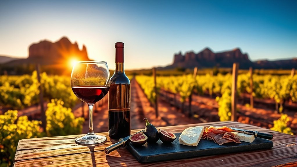
Sedona sits near the Verde Valley American Viticultural Area, a federally recognized wine region established in 2021. Tasting rooms around the valley pour Arizona-grown and Arizona-made wines in a range of styles, including whites, rosés, reds, and blends. The official AVA rule is documented in the Federal Register.
Rather than looking for a supposed signature “Verde Blanc” grape, ask each tasting room which varieties are currently grown or sourced locally and which wines best represent its site. Flights make it easier to compare acidity, fruit, tannin, oak influence, and aging style without ordering full glasses.
Food offerings vary, so check whether a tasting room serves cheese, snacks, or full meals before arriving hungry. Reservations can help on busy weekends.
Note: If you plan to taste at several locations, use a designated driver, organized wine tour, or appropriate ride service rather than driving after drinking.
Enjoy a Spa or Wellness Treatment
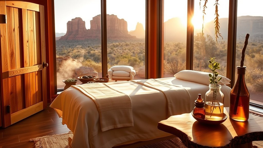
A spa day can give tired legs a break between hikes. Sedona has resort spas, independent practitioners, retreat centers, and wellness businesses offering treatments that range from conventional massage and facials to spiritually oriented sessions connected with the city’s vortex culture.
Luxury Spa Resorts
Full-service resort spas may include massage, body treatments, steam or hydrotherapy facilities, pools, relaxation lounges, and outdoor spaces. Amenities and day-pass rules vary, so check exactly what is included with a treatment before booking.
- Swedish or deep-tissue massage
- Body wraps and skincare treatments
- Hydrotherapy or soaking facilities at selected resorts
- Couples or private treatment rooms
- Relaxation areas with red-rock or garden views
If you have an injury, medical condition, allergy, or recent surgery, tell the licensed provider before treatment and follow your clinician’s advice where relevant.
Vortex Healing Sessions
Some practitioners offer sessions combining meditation, breathwork, sound, visualization, Reiki-style practices, chakra traditions, or outdoor reflection. These may feel relaxing or personally meaningful, but they should be treated as wellness or spiritual experiences rather than proven medical treatment.
Ask what the practitioner actually does, how long the session lasts, whether physical touch is involved, what credentials apply to any hands-on therapy, and what happens if weather prevents an outdoor component. Be cautious with anyone who promises to diagnose disease, cure medical conditions, or replace evidence-based care.
Outdoor Massage Options
An outdoor massage can combine professional bodywork with fresh air and scenery, but availability depends on property rules, temperature, wind, privacy, and licensing. Do not assume every resort or therapist is permitted to work on public land.
- Ask whether the treatment takes place on private property or at a licensed facility.
- Choose morning or evening when temperatures are comfortable.
- Tell the therapist about sun sensitivity or heat concerns.
- Confirm what type of massage is offered and who is providing it.
- Bring layers because desert temperatures can shift quickly.
Attend a Sound Bath or Meditation Session
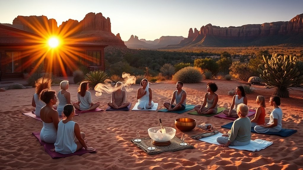
Sound baths and guided meditation are common parts of Sedona’s wellness scene. A typical session may use singing bowls, gongs, chimes, spoken meditation, or breathing exercises while participants sit or lie comfortably.
People may find the experience relaxing, meditative, emotional, or simply interesting, but avoid treating claims about “brainwave shifts,” detoxification, energy clearing, or disease treatment as established medical outcomes. The value can be as simple as having structured quiet time during a busy trip.
Ask about session length, sound intensity, accessibility, and whether mats or blankets are supplied. If loud or resonant sound triggers migraines, tinnitus, sensory distress, or another medical concern, discuss suitability with the provider and your clinician where appropriate. Arrive early so you can settle without disturbing the group.
Explore Amitabha Stupa & Peace Park
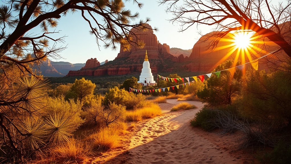
Amitabha Stupa & Peace Park offers a quieter experience than Sedona’s major trailheads. The Buddhist sacred site includes the large white Amitabha Stupa, prayer wheels, walking paths, benches, and views toward the surrounding red rocks.
According to the official site, the park is generally open daily during daylight hours and is free to visit, with donations supporting the property. It is private sacred land, so follow posted rules and behave as you would at any active religious site.
- Walk slowly and keep conversation quiet around people who are meditating.
- Follow posted guidance for prayer wheels and circumambulation.
- Read interpretive information rather than assuming the meaning of Buddhist symbols.
- Stay on established paths and protect the surrounding desert vegetation.
- Visit in cooler morning or late-afternoon conditions for a comfortable walk.
Go Mountain Biking on Bell Rock Pathway
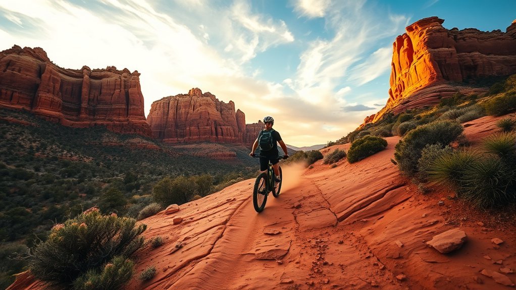
Bell Rock Pathway is a convenient place to experience Sedona mountain biking because its main corridor is shared-use and connects with a much larger network. The terrain includes packed dirt, embedded rock, sandy patches, and optional connections that become more technical.
Match your route to your actual skill rather than assuming every trail near Bell Rock is beginner-friendly. Mountain bikes are not allowed in designated Wilderness, and nearby trail networks can include segments with different rules. Check the official Bell Rock Pathway information and current maps before riding.
- Wear a helmet and carry water.
- Bring a tube, plugs, pump, or other repair kit appropriate for your tires.
- Control speed around blind corners and crowded trail junctions.
- Yield according to posted trail etiquette and communicate before passing hikers.
- Stay off muddy trails when riding would cause avoidable damage.
Visit Palatki Heritage Site
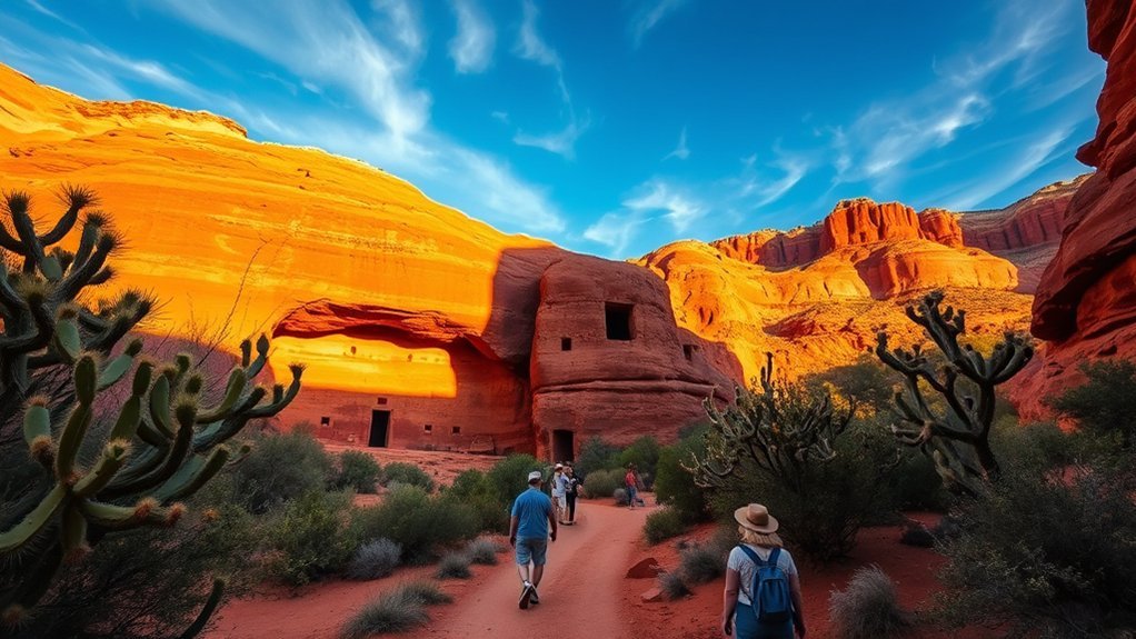
Palatki Heritage Site protects cliff dwellings and rock-art panels associated with centuries of human presence in the Sedona region. Archaeologists have historically used the term Sinagua for ancestral communities that lived in the area, while modern Indigenous peoples maintain cultural connections to this broader landscape.
Palatki is not a casual walk-up stop. Current visitation uses a reservation/ticket system through Recreation.gov, and visitors should review pass requirements and access instructions before driving out. Guided portions include uneven terrain and numerous steps, while weather can temporarily affect access. Cell reception may also be limited.
Palatki is most rewarding when you treat its cliff dwellings and rock art as protected cultural resources, not simply as a photo stop.
- Reserve your visit before making the drive.
- Bring water, sun protection, and sturdy shoes.
- Allow extra time for the approach road and check current conditions.
- Do not touch rock art, walls, artifacts, or archaeological surfaces.
- Follow docent instructions and remain inside designated viewing areas.
The site’s value comes from seeing architecture, rock art, landscape, and cultural interpretation together rather than trying to assign a simple story to every individual symbol.
Explore Honanki Heritage Site
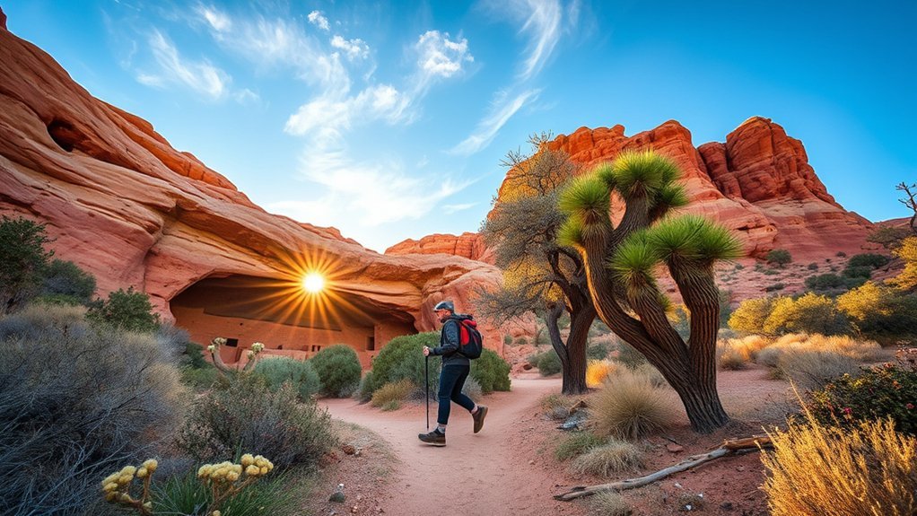
Honanki Heritage Site preserves substantial masonry remains and rock art beneath a large sandstone alcove. Like Palatki, it reflects a long human history that should not be reduced to a single group, date, or literal interpretation of every painted symbol.
The Forest Service identifies Palatki and Honanki as important heritage sites associated with ancestral communities in the Verde Valley. Rock art can include layers created at different times, so avoid confidently labeling individual figures as hunting scenes, celestial symbols, or ceremonial stories unless an authoritative interpretation supports it.
Check current Coconino National Forest information for Honanki before departure because road, weather, fire, and site conditions can affect access.
- Stay on the established visitor route.
- Never touch pictographs, petroglyphs, masonry, or artifacts.
- Do not climb or sit on archaeological walls.
- Leave pottery fragments and other material exactly where found.
- Photograph respectfully and follow any site-specific restrictions.
Take a Photography Tour
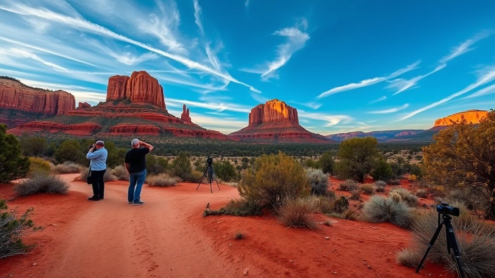
A photography tour can help you understand how Sedona’s changing light affects exposure, contrast, and composition. A good guide should adapt the outing to your camera, experience, mobility, and goals instead of taking every group to the same overlook.
You can work on broad landscapes, compressed telephoto scenes, rock textures, night photography, or basic smartphone composition. Sunrise and sunset usually create more directional light, while midday can work for details, shaded canyon scenes, or scouting locations.
- Ask what walking distance and terrain the tour requires.
- Carry only the equipment you can manage safely on uneven ground.
- Keep tripods out of crowded paths and fragile vegetation.
- Avoid revealing or entering restricted cultural-resource locations for a photograph.
- Follow drone, wilderness, park, and land-manager rules separately from still-photography rules.
Current federal rules for filming and photography on National Forest System land are more nuanced than “commercial equals permit.” Under current Forest Service guidance, low-impact activity by small groups in areas already open to the public may not require a special-use permit, while larger or more disruptive productions can. Review the Forest Service filming and photography guidance and check other land managers separately.
Dine at Sedona’s Farm-to-Table Restaurants
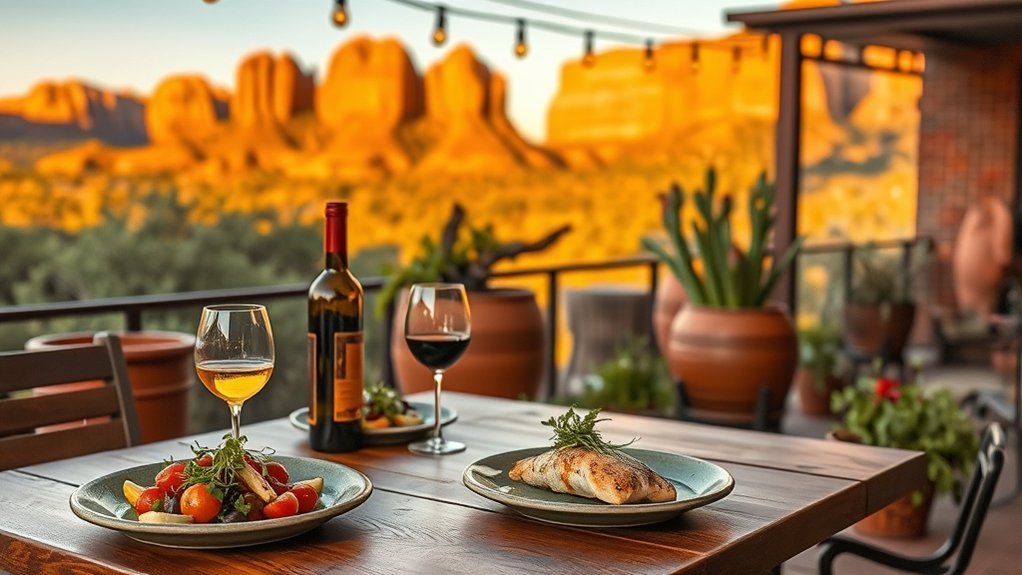
After a long hike, Sedona’s restaurant scene gives you more than standard tourist fare. Some kitchens emphasize seasonal produce, Arizona ingredients, regional meat, local wine, and Southwestern flavors, although sourcing varies by restaurant and by season.
Instead of assuming every “farm-to-table” menu is entirely local, ask what is actually coming from Arizona farms or producers that week. Seasonal specials often provide a better picture of current sourcing than permanent menu language.
Expect everything from wood-fired dishes and vegetable-forward plates to Southwestern-influenced meat, chile, corn, citrus, and prickly pear preparations. Patios with red-rock views are popular around sunset, so make reservations for restaurants you care about rather than assuming a prime table will be available after your hike.
Stargaze in Sedona’s Dark Sky Area
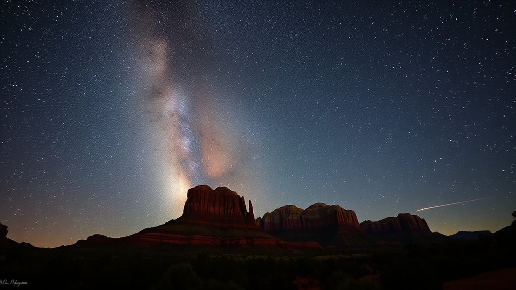
Sedona has been recognized as an International Dark Sky Community since 2014, making stargazing one of the city’s signature after-dark experiences. The designation reflects community lighting efforts, but sky quality still varies with moon phase, clouds, smoke, nearby lights, and your exact location. See DarkSky International’s Sedona listing.
Give your eyes roughly 20–30 minutes away from bright white light to adapt. A red flashlight helps preserve night vision, and a star map or astronomy app can identify planets, constellations, and seasonal objects.
- Choose a legal, open location: do not assume a park or day-use site remains open after its posted closing time.
- Check closures: avoid closed Oak Creek or fire-affected recreation areas even if they look appealing on a stargazing map.
- Watch the moon: darker lunar phases make faint stars and the Milky Way easier to see.
- Use red light: keep screens dim and avoid flash photography around other observers.
- Dress for the temperature: desert evenings can cool rapidly after sunset.
Airport Mesa is a convenient option when legal parking and access are available. A guided astronomy tour can be worthwhile if you want telescope views and interpretation rather than identifying objects yourself.
Sedona rewards a slower itinerary: one major hike, one cultural or scenic stop, and enough open time to adapt to weather, traffic, closures, and changing light.
Sources
- Coconino National Forest Alerts — current fire, trail, and recreation-area closures.
- Sedona Shuttle Hiking Ideas — current trailhead access and route-distance guidance for major Sedona hikes.
- Red Rock State Park — park hours, fees, pet restrictions, swimming rules, and visitor information.
- Slide Rock State Park — current swimming closure, access conditions, and park safety information.
- Chapel of the Holy Cross — official visiting hours, access details, and chapel history.
- USDA Forest Service Filming and Photography Guidance — current permit rules for National Forest System lands.
Frequently Asked Questions
Are pets allowed on Sedona hiking trails and in parks?
Pets are allowed on many Coconino National Forest trails when applicable leash and waste rules are followed, but rules vary by property. Red Rock State Park does not allow pets, and Slide Rock State Park has additional seasonal and creek-area restrictions. Always check the specific land manager before bringing a pet.
What are the best times of year to avoid crowds in Sedona?
Late fall and winter outside major holiday periods are generally quieter than peak spring and fall weekends. Summer can also have lighter hiking traffic during the hottest part of the day, but high temperatures and monsoon storms make midday hiking a poor tradeoff. Weekday mornings are usually the best strategy in any season.
Is Sedona wheelchair- or stroller-accessible at major sites?
Some major attractions, visitor centers, scenic viewpoints, shopping areas, and paved facilities offer accessible routes, parking, or restrooms, but many famous hikes are steep, rocky, or unpaved. Check the individual attraction’s accessibility information rather than assuming an entire site is accessible because its parking area is paved.
Are permits required for photography or commercial shoots in Sedona?
It depends on who manages the land and how the shoot operates. Current Forest Service rules do not make commercial intent alone an automatic permit trigger for every small, low-impact shoot. Group size, equipment, exclusive use, resource impact, administrative needs, and location can matter. State, city, Tribal, and private lands can have different requirements, so verify with the specific land manager.
How reliable is cell phone and internet coverage around Sedona?
Coverage is generally stronger in developed parts of Sedona than in remote forest areas, side canyons, and sections of Oak Creek Canyon. Do not rely on continuous service for navigation or emergencies. Download maps, save reservation details, carry a charged battery, and tell someone your plans before remote hikes.
Do I need a Red Rock Pass or the Sedona Shuttle?
A Red Rock Pass or another accepted federal recreation pass may be required at certain Coconino National Forest fee sites. Requirements vary by parking area. The Sedona Shuttle is free and serves several high-demand trailheads on scheduled service days; at some trailheads, vehicle access changes while shuttle service is operating. Check both the Forest Service and Sedona Shuttle before leaving.
Which Sedona attractions are closed as of August 16, 2026?
West Fork Trail No. 108 remains closed under the Pocket Fire-related closure, portions of the Oak Creek area remain restricted, and Slide Rock State Park’s swimming area is scheduled to remain closed until October 1, 2026 unless officials change the order. Because emergency closures can change quickly, verify the Forest Service and Arizona State Parks alerts on the day of your visit.
Are Sedona vortexes scientifically proven?
No scientific evidence has established Sedona vortex sites as sources of a special healing or concentrated Earth energy. Vortexes are part of Sedona’s spiritual and wellness tradition, and visitors may still find the locations personally meaningful for meditation, reflection, scenery, or quiet time outdoors.
Conclusion
Sedona is at its best when you do less rushing and more choosing. Pick a demanding hike such as Cathedral Rock or Devil’s Bridge if it matches your ability, balance it with an easier stop such as the Chapel of the Holy Cross, Tlaquepaque, or Red Rock State Park, and leave room for sunset or stargazing. In 2026, checking closures is part of planning rather than an afterthought. Respect trail limits, cultural sites, heat, water, and changing fire conditions, and Sedona’s red-rock landscape will give you plenty to explore without turning the trip into a checklist.