Scottsdale and the surrounding Phoenix metro have desert hikes for nearly every ability, from gentle wash walks to steep summit climbs. The key is choosing a real route that matches your fitness, checking current access before you leave, and treating desert heat seriously. This guide compares 10 verified hikes in Scottsdale and nearby parks, with practical details on distance, elevation, fees, dogs, facilities, and difficulty.
Quick Answer
For the best mix of scenery and difficulty near Scottsdale, choose Gateway Loop for a moderate half-day hike, Pinnacle Peak for a steady workout, Lost Dog Wash to Taliesin Overlook for gentler desert views, and Echo Canyon or Sunrise Trail East for experienced hikers. Always check heat warnings and trail closures before leaving.
Key Takeaways
- Best moderate all-around hike: Gateway Loop, 4.5 miles with about 650 feet of gain.
- Best easier scenic hike: Lost Dog Wash to Taliesin Overlook, about 4 miles with 450 feet of gain.
- Hardest short climb: Echo Canyon, officially rated Extremely Difficult by the City of Phoenix.
- Important dog rule: Dogs are prohibited at Pinnacle Peak and Camelback Mountain. Scottsdale Preserve trails have different leash rules.
- Current access: Brown’s Ranch Trailhead is temporarily closed for improvements as of August 16, 2026, with completion expected in fall 2026.
Warning: Desert heat can become life-threatening quickly. On National Weather Service Extreme Heat Warning days, Phoenix restricts Echo Canyon and Cholla trails from 8 a.m. to 5 p.m. Scottsdale also advises leaving dogs home when temperatures during a Preserve outing will exceed 90°F. Check the forecast and official trail status before every hike.
Scottsdale Hiking Trails at a Glance
| Trail | Distance | Elevation | Difficulty | Best For |
|---|---|---|---|---|
| Pinnacle Peak | About 4 mi RT | ~1,300 ft cumulative | Moderate | Steady workout |
| Echo Canyon | ~2.3 mi RT | ~1,400 ft | Extremely Difficult | Experienced hikers |
| Taliesin Overlook | 4 mi RT | ~450 ft | Easy to moderate | Views and families |
| Marcus Landslide | 3.7 mi RT | ~300 ft | Easy to moderate | Geology |
| Brown’s Ranch Trail | 3.1 mi RT | ~100 ft | Easy | History; closed Aug. 2026 |
| Gateway Loop | 4.5 mi | ~650 ft | Moderate | All-around hiking |
| Sunrise Trail East | 4 mi RT | ~1,150 ft | Difficult | Summit views |
| Wind Cave | 3 mi RT | ~812 ft | Difficult | East Valley scenery |
| Metate & Towhee Loop | ~1 mi | Low | Easy | Short nature walk |
| Tom’s Thumb Lookout | 5.1 mi RT | ~1,000 ft | Challenging | Rock formations |
Pinnacle Peak Trail
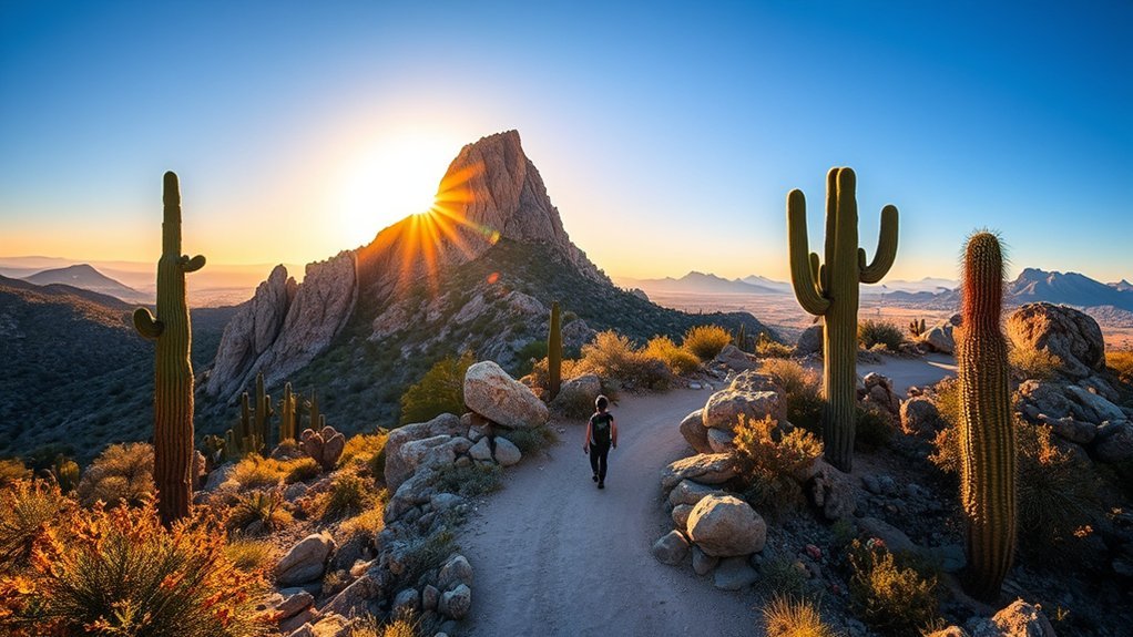
Pinnacle Peak Trail is one of the most approachable choices when you want a substantial Scottsdale hike without the scrambling required on Camelback Mountain. Scottsdale describes the route as roughly 1.9 to 2 miles one way, so plan on about 4 miles for the full out-and-back. The city lists approximately 1,300 feet of cumulative elevation gain.
The trail climbs and descends through decomposed granite terrain with broad Sonoran Desert views. It is considered moderate, and Scottsdale recommends allowing roughly 1.5 to 2 hours for the complete hike. This is not a route to the actual summit of Pinnacle Peak, so think of it as a scenic traverse with elevated viewpoints rather than a summit scramble.
Bring water, sunscreen, a hat, and shoes with good tread. Restrooms and drinking fountains are available at the trailhead. Parking is limited to the designated trailhead area.
Note: Dogs, bicycles, and motorized vehicles are not allowed on Pinnacle Peak Trail. Check the City of Scottsdale’s current Pinnacle Peak rules before visiting.
Camelback Mountain – Echo Canyon Trail
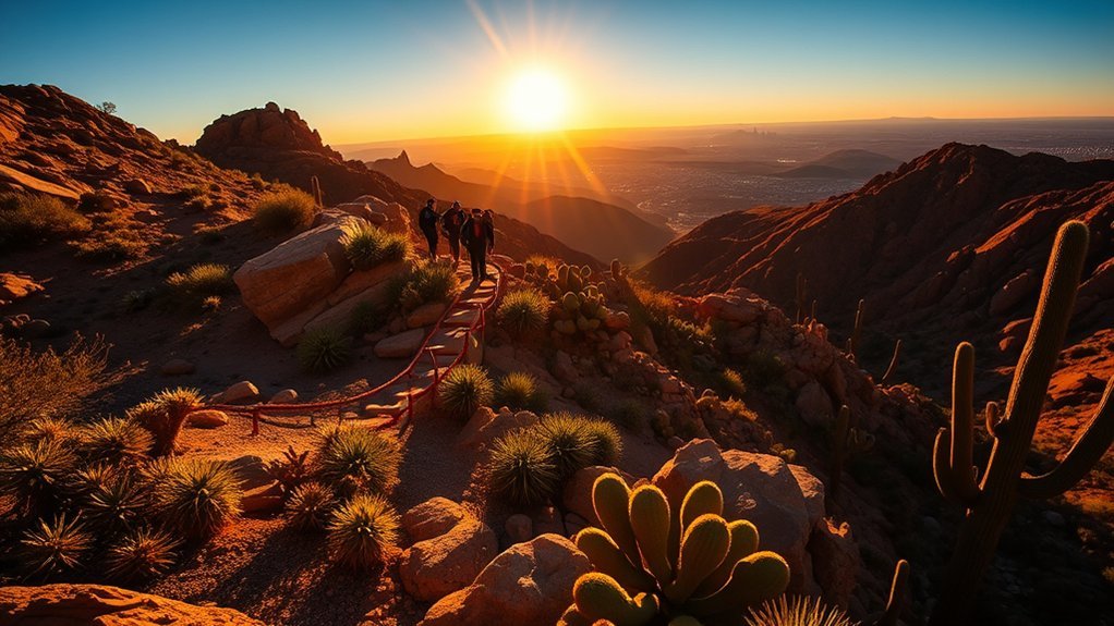
Echo Canyon Trail is short on mileage but exceptionally demanding. The City of Phoenix rates it Extremely Difficult, with an official one-way distance of about 1.14 miles and approximately 1,400 feet of elevation change. The trail becomes increasingly steep and rocky, and upper sections require hikers to use handrails and climb through rugged terrain.
The payoff is a broad summit view across the Valley, but this is not a beginner trail. Wear footwear with strong traction, carry enough water for the conditions, and turn around if the terrain exceeds your ability. The Echo Canyon Trailhead has restrooms, benches, potable water, and a small shade canopy, but parking frequently fills during the busy cooler season.
Dogs are prohibited on all Camelback Mountain trails year-round. Trail hours are sunrise to sunset.
Warning: On days when the National Weather Service issues an Extreme Heat Warning, Phoenix restricts Echo Canyon Trail from 8 a.m. to 5 p.m. Verify the Phoenix Trail Heat Safety Program before heading out.
Lost Dog Wash Trail to Taliesin Overlook
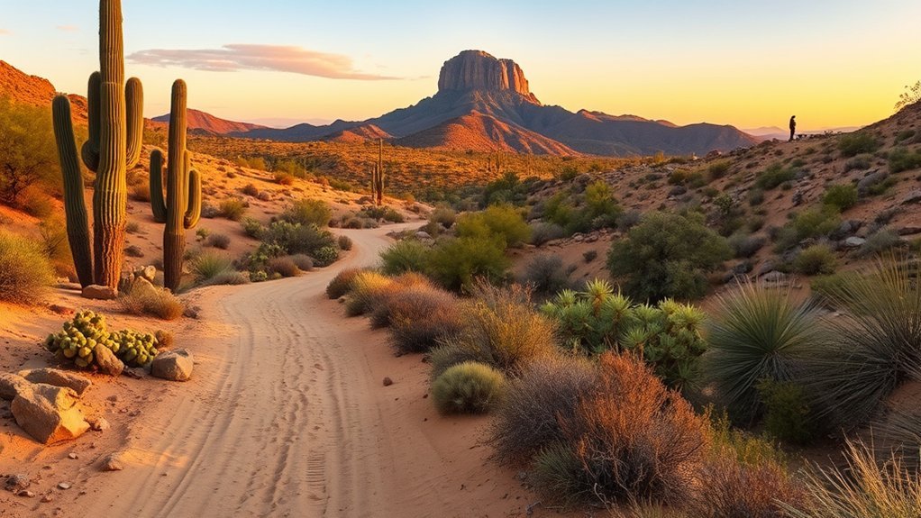
For a gentler alternative to Scottsdale’s steep summit routes, hike from Lost Dog Wash Trailhead to Taliesin Overlook. The verified out-and-back covers about 4 miles with roughly 450 feet of elevation gain. It crosses several small washes before reaching an overlook above Frank Lloyd Wright’s Taliesin West.
Trail Overview
Start on Lost Dog Wash Trail and follow it north until you reach the signed spur for Taliesin Overlook. Turn left for the short walk to the viewpoint, then return the same way. The route is gentler than many mountain hikes in the Preserve and works well when you want scenery without a long, steep climb.
Lost Dog Wash Trailhead has parking, restrooms, shade ramadas, drinking water, directional signs, and an accessible nature trail. The broader Preserve trail network is multi-use, so watch for cyclists and equestrians and follow posted right-of-way rules.
Difficulty & Timing
Most of the hike is moderate rolling desert terrain rather than sustained climbing. Allow roughly 1.5 to 2.5 hours depending on pace, photography stops, and conditions. Carry your own water even though drinking water is normally available at the trailhead.
Scenic Highlights
The overlook gives you a different Scottsdale perspective: open washes, saguaros, McDowell Mountain foothills, and views toward Taliesin West. Seasonal wildflowers can add color after favorable winter rainfall, but flowering conditions vary from year to year.
Pro Tip: If four miles is more than you want, Lost Dog Trailhead also provides access to the 2.4-mile Ringtail loop and the short accessible Kovach Family Nature Trail.
McDowell Sonoran Preserve – Marcus Landslide Trail
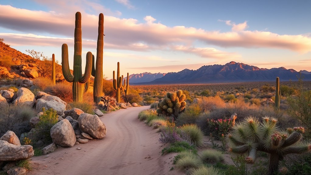
Marcus Landslide Trail is the choice for geology rather than a summit. Starting from Tom’s Thumb Trailhead, the full outing with the optional loop across the landslide is approximately 3.7 miles round trip with about 300 feet of elevation gain.
The route passes striking boulders and exposed rock formations before reaching the landslide area. Interpretive information helps explain the landscape, making this one of the better Scottsdale hikes when you want an educational element alongside desert scenery.
Tom’s Thumb Trailhead provides parking, restrooms, shade, and interpretive signs, but there is no drinking water at the trailhead. Bring your full water supply from home.
Brown’s Ranch Trail to the Historic Ranch Site
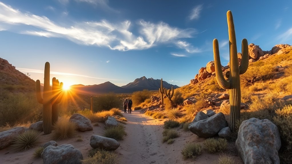
Current closure: As of August 16, 2026, Brown’s Ranch Trailhead and its parking lot are temporarily closed for improvements. The City of Scottsdale expects work to continue into fall 2026. Do not park on nearby streets or in neighborhoods. Check the official project page before planning this hike.
Once the trailhead reopens, the Brown’s Ranch Trail is one of the easiest longer walks in the Preserve. The verified route to the historic ranch area is approximately 3.1 miles round trip with only about 100 feet of elevation gain.
The broad trail crosses gently rolling crushed-granite terrain and leads toward remnants of the area’s ranching history. It is a good choice for hikers who prefer distance without sustained climbing. The Brown’s Ranch area also connects to a large network of hiking, biking, and equestrian trails.
Before the temporary construction closure, the trailhead provided parking, restrooms, shade, interpretive information, and water. For current alternatives, Scottsdale recommends using nearby access points such as Pima Dynamite, Fraesfield, Granite Mountain, or Tom’s Thumb.
Check the City of Scottsdale Brown’s Ranch improvement page for reopening information.
Gateway Loop Trail in McDowell Sonoran Preserve
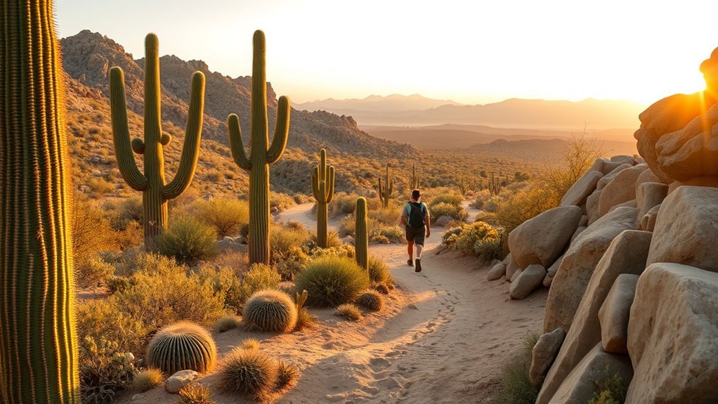
Gateway Loop is one of the best all-around Scottsdale hikes. It is located in the McDowell Sonoran Preserve, not McDowell Mountain Regional Park. The loop covers approximately 4.5 miles with about 650 feet of elevation gain.
The route gradually climbs toward Gateway Saddle before looping back through rocky Sonoran Desert terrain. The combination of mileage and changing grades makes it moderately difficult without requiring the climbing moves found on Camelback Mountain.
Gateway Trailhead is especially convenient because it offers parking, restrooms, shade ramadas, drinking water, interpretive signs, and access to the accessible Bajada Nature Trail.
Follow the signed Gateway Loop route carefully because several Preserve trails intersect it. Carry a map or download the official map before starting.
Pro Tip: If the full loop is too long, the accessible Bajada Nature Trail offers a much shorter desert experience from the same trailhead.
Sunrise Trail East to Sunrise Peak
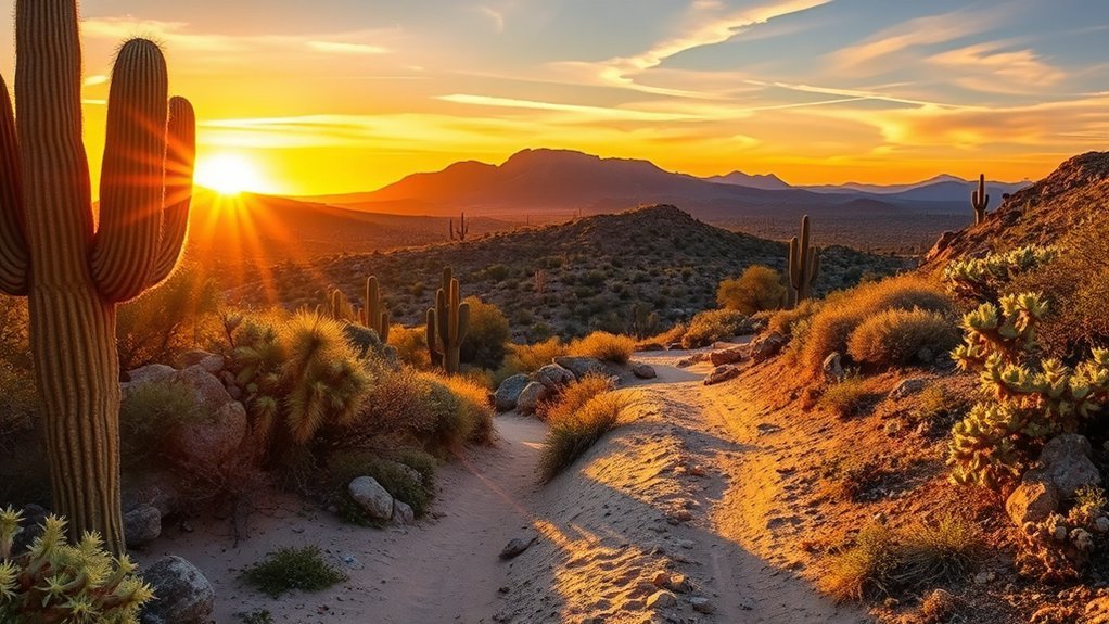
If you want a legitimate Scottsdale summit hike without Camelback’s crowds, consider Sunrise Trail East. From Sunrise Trailhead, the route is approximately 4 miles out and back with about 1,150 feet of elevation gain.
This is one of the more difficult hikes in the McDowell Sonoran Preserve. Expect sustained climbing, rocky footing, and exposed desert terrain. The summit rewards the effort with broad views across the McDowell Mountains and surrounding Valley.
Sunrise Trailhead has parking, water, directional signs, limited horse-trailer parking, and a shade ramada in the overflow area. Because the climb is exposed, choose conditions conservatively and carry more water than you expect to need.
A short mileage number can be misleading in the desert: elevation gain, exposure, rocky footing, and temperature often matter more than distance alone.
Wind Cave Trail at Usery Mountain Regional Park
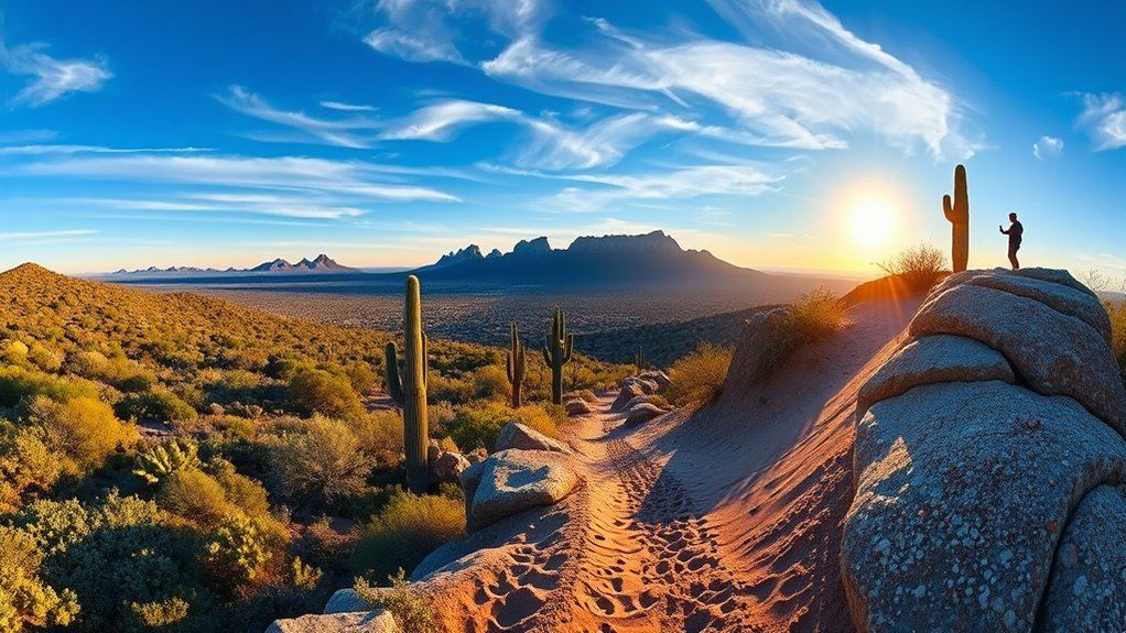
For an East Valley hike beyond Scottsdale, Wind Cave Trail is the signature choice at Usery Mountain Regional Park. Maricopa County lists the trail at 1.5 miles one way, giving you a 3-mile round trip, with approximately 812 feet of elevation gain. It is rated difficult.
Trail Details and Terrain
The trail climbs Pass Mountain toward a shallow alcove known as Wind Cave. Expect rocky footing and a sustained uphill grade. The elevated endpoint gives you broad views over the surrounding Sonoran Desert, while the alcove supports plant life where moisture can seep from the rock.
Wind Cave is hike-only, unlike many of Usery’s multi-use trails. It is also one of the park’s most popular routes, so cooler-season weekends can be busy.
Best Times to Hike
Choose a cool-weather day and start early enough to complete the exposed climb before temperatures become uncomfortable. Usery Mountain Regional Park operates seasonal hours, so verify the current schedule before driving out.
Maricopa County’s current 2026 fee schedule lists vehicle entry at $10 for regional parks such as Usery. Check the official Usery trail list before your visit.
Metate and Towhee Trail Loop at Spur Cross Ranch Conservation Area
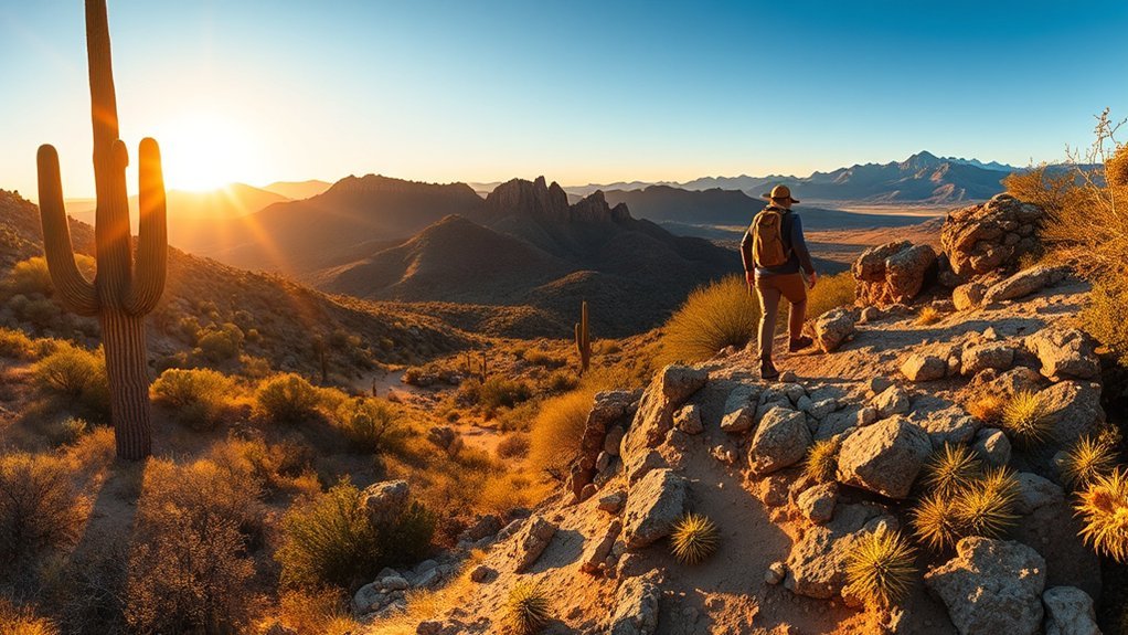
At Spur Cross Ranch Conservation Area near Cave Creek, the Metate and Towhee Trail Loop is a better verified choice than the incorrectly attributed Hieroglyphic Trail. Maricopa County recommends this easy, approximately 1-mile hike for visitors who want a short introduction to the conservation area.
The route crosses Cave Creek and travels through a greener desert environment than many Scottsdale trails. Seasonal water conditions can vary, particularly around creek crossings. The broader Spur Cross trail system also includes Dragonfly, Tortuga, Spur Cross, and the much harder Elephant Mountain routes.
- Difficulty: Easy overall, but expect natural desert surfaces and creek conditions that can change.
- Time: Allow roughly an hour for a relaxed visit.
- Facilities: Restrooms are available near the main trailhead, but potable water is not available, so bring your own.
- Fee: The current 2026 entry fee is $5 per person, with children under 15 free under the county fee schedule.
Use the official Spur Cross itinerary to choose longer routes if you have more time.
Tom’s Thumb Lookout Viewpoint
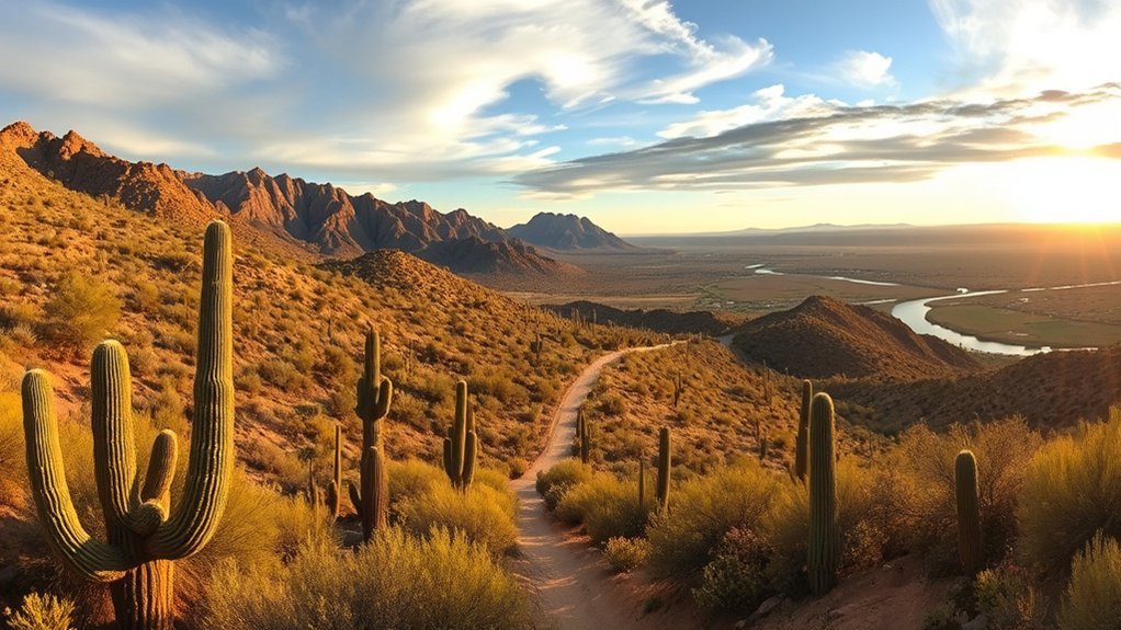
For dramatic granite formations and a serious workout, hike from Tom’s Thumb Trailhead to the Lookout Viewpoint. The McDowell Sonoran Conservancy describes this as a challenging 5.1-mile out-and-back with approximately 1,000 feet of elevation gain.
The Tom’s Thumb Trail climbs steeply over loose and rocky terrain before reaching the junction with Lookout Trail. The final spur is narrow and rocky, but the viewpoint opens to extensive views across both sides of the McDowell Mountains.
Tom’s Thumb Trailhead has parking, restrooms, a shade ramada, and interpretive information, but no drinking water. Carry all the water you need from the start. The surrounding trail network includes substantially harder routes, including the 11-mile East End Loop, so confirm every junction rather than following another trail by accident.
Check current routes and distances on the McDowell Sonoran Conservancy hike guide.
Frequently Asked Questions
Are dogs allowed on these trails?
Rules depend on the park. Dogs are prohibited on Pinnacle Peak Trail and all Camelback Mountain trails. Dogs are generally permitted on Scottsdale McDowell Sonoran Preserve trails when kept on a handheld leash no longer than six feet, but Scottsdale advises leaving them home if temperatures during the outing will exceed 90°F. Always check the rules for the exact park before leaving.
What is the best time of year to hike near Scottsdale?
The cooler months are normally the most comfortable for longer desert hikes, but weather varies. Check the hourly forecast rather than relying only on the season. Summer hiking can become dangerous very early in the day, and Phoenix closes selected trails during Extreme Heat Warnings.
Are permits or fees required?
Normal recreational access to Scottsdale’s McDowell Sonoran Preserve is free. Special uses and organized activities may require permits. Maricopa County parks have separate fees: the 2026 schedule lists $10 vehicle entry for regional parks such as Usery and $5 per person at Spur Cross Ranch Conservation Area, with children under 15 free at Spur Cross.
What wildlife should hikers be cautious around?
Rattlesnakes and other desert wildlife live throughout these parks. Stay on designated trails, watch where you step, avoid putting your hands into rock gaps or vegetation you cannot see into, and give every animal plenty of room. Never feed or approach wildlife.
Is cell phone service available along the routes?
Coverage varies by carrier, terrain, and location, so do not depend on your phone having service throughout a hike. Download the official map before leaving, carry enough supplies to handle delays, tell someone where you are going, and keep your phone charged.
Which Scottsdale hike is best for beginners?
Lost Dog Wash to Taliesin Overlook is a good choice for hikers comfortable with a four-mile outing and modest climbing. For something much shorter, the accessible Bajada Nature Trail at Gateway and Kovach Family Nature Trail at Lost Dog provide easier ways to experience the Sonoran Desert.
Which hike is the hardest on this list?
Echo Canyon is the most intense short route and is officially rated Extremely Difficult by Phoenix. Sunrise Trail East and the Tom’s Thumb Lookout route are also strenuous because of steep climbing, rocky surfaces, and desert exposure.
Conclusion
You have excellent hiking choices in and around Scottsdale, but the right route depends on more than mileage. Gateway Loop gives you a balanced moderate hike, Lost Dog Wash to Taliesin Overlook offers gentler scenery, Pinnacle Peak provides a steady workout, and Echo Canyon, Sunrise Trail East, and Tom’s Thumb deliver substantially harder climbs. Check official conditions before leaving, carry enough water, wear sturdy footwear, respect closures and dog rules, and turn around when weather or terrain exceeds your plan.
Sources
- City of Scottsdale – Pinnacle Peak Rules and Safety – trail length, safety guidance, and dog restrictions.
- City of Scottsdale – McDowell Sonoran Preserve – trailheads, facilities, access, dog rules, heat guidance, and current Preserve information.
- McDowell Sonoran Conservancy – Hikes and Trails – verified route distances and elevation figures for Gateway, Lost Dog, Marcus Landslide, Sunrise, Brown’s Ranch, and Tom’s Thumb.
- City of Phoenix – Camelback Mountain Trails – Echo Canyon distance, elevation, difficulty, facilities, and route description.
- City of Phoenix – Trail Heat Safety Program – Extreme Heat Warning trail restrictions.
- Maricopa County Parks – Usery Mountain Trails – official Wind Cave distance, elevation, use, and difficulty.