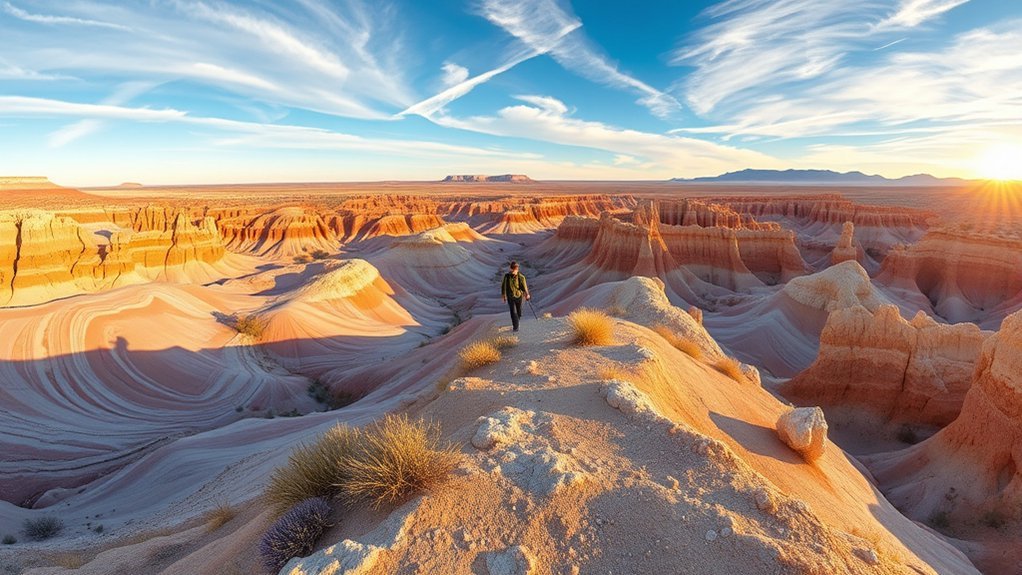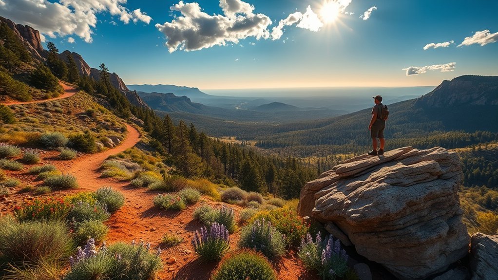
Williams, Arizona, puts you within reach of ponderosa forest, mountain summits, Grand Canyon overlooks, shaded creek corridors, and Sedona’s red-rock terrain. The right hike depends on more than mileage, however. Elevation, heat, road access, parking, water, permits, and the climb back to your vehicle can completely change the difficulty of your day.
Last updated: July 23, 2026. Trail conditions, wildfire restrictions, water systems, roads, permits, and shuttle schedules can change without notice. Check the official land manager’s alerts on the day of your hike.
Quick Answer
The best hikes near Williams include Bill Williams Mountain for a local summit, Sycamore Rim for forest and canyon views, South Kaibab to Ooh Aah Point for a short Grand Canyon challenge, West Fork Oak Creek for shade, and Humphreys Peak for experienced hikers seeking an alpine summit.
Key Takeaways
- Stay local: Bill Williams Mountain and nearby Kaibab National Forest trails begin only minutes from town.
- Choose Grand Canyon routes conservatively: you descend first and must complete the hardest climb at the end.
- Plateau Point is currently open: its construction closure ended June 26, 2026, but you should still check current NPS alerts.
- Reserve Fossil Creek access: permits are required from April 1 through October 1, and the access road is long and rough.
- Plan for rapid weather changes: summer heat, monsoon lightning, winter ice, mud, and wildfire restrictions can affect different trails on the same day.
Before You Choose a Trail
Williams sits at about 6,770 feet, so mornings can feel cold even when lower-elevation destinations such as Sedona or Fossil Creek become hot. Match the trail to the conditions at the trailhead, not only the forecast in Williams.
- Consider the drive: a “near Williams” hike may be five minutes away or more than two hours away.
- Check current closures: use the National Park Service or Forest Service page for the exact recreation area.
- Confirm water: seasonal fountains and pipeline-fed stations can be shut off without much warning.
- Save an offline map: service is weak or absent on forest roads, in canyons, and near remote trailheads.
- Check road conditions: snow, monsoon rain, mud, and fire closures can make access harder than the hike.
- Turn around early: distance, altitude, heat, and water crossings can slow you more than expected.
Warning: A short trail is not always an easy trail. South Kaibab, Cathedral Rock, and other steep routes combine exposure, heat, or scrambling with a demanding return. Thunder on a summit or canyon rim is a reason to descend immediately.
Best Hikes Near Williams, Arizona at a Glance
Drive times below are rough planning estimates from central Williams in normal conditions. Traffic, weather, road work, trailhead choice, and seasonal closures can add substantial time.
| Trail or Area | Best For | Typical Hike | Difficulty | Approximate Drive | Key Planning Note |
|---|---|---|---|---|---|
| Bill Williams Mountain Trail | Local summit | About 7.3 miles round trip | Moderate to strenuous | Under 10 minutes | No drinking water on the trail |
| Davenport Hill Trail | Quieter local forest hike | 5.6 miles round trip | Easy to moderate | About 20 minutes | Gradual climb near Dogtown Lake |
| Sycamore Rim Trail | Forest and canyon-rim views | Short segment or approximately 11-mile loop | Moderate | About 30 minutes | Carry an offline map; no dependable water |
| South Kaibab to Ooh Aah Point | Fast Grand Canyon views | 1.8 miles round trip | Moderate to strenuous | About 1 hour | No trail water; shuttle access required |
| Bright Angel to Plateau Point | Long inner-canyon challenge | About 12 miles round trip | Very strenuous | About 1 hour | Currently open; consult a ranger before attempting |
| Humphreys Peak Trail | Highest summit in Arizona | About 10 to 11 miles round trip | Strenuous | About 75 minutes | Altitude, wind, snow, and lightning hazards |
| West Fork Oak Creek | Shaded creek canyon | About 6 miles round trip on the maintained section | Easy to moderate | 75 to 90 minutes | Fee area, creek crossings, limited parking |
| Red Rock Crossing | Easy creek views and photography | Flexible short walks | Easy | About 90 minutes | Crescent Moon entrance fee; not the Cathedral Rock summit trail |
| Cathedral Rock Trail | Short, steep Sedona scramble | 1.1 miles round trip | Strenuous | About 90 minutes | 669 feet of gain; shuttle useful Thursday–Sunday |
| Fossil Creek | Spring-fed water and travertine | Varies by reserved parking area | Moderate to strenuous | More than 2 hours | Advance permit and rough-road planning required |
South Kaibab Trail to Ooh Aah Point
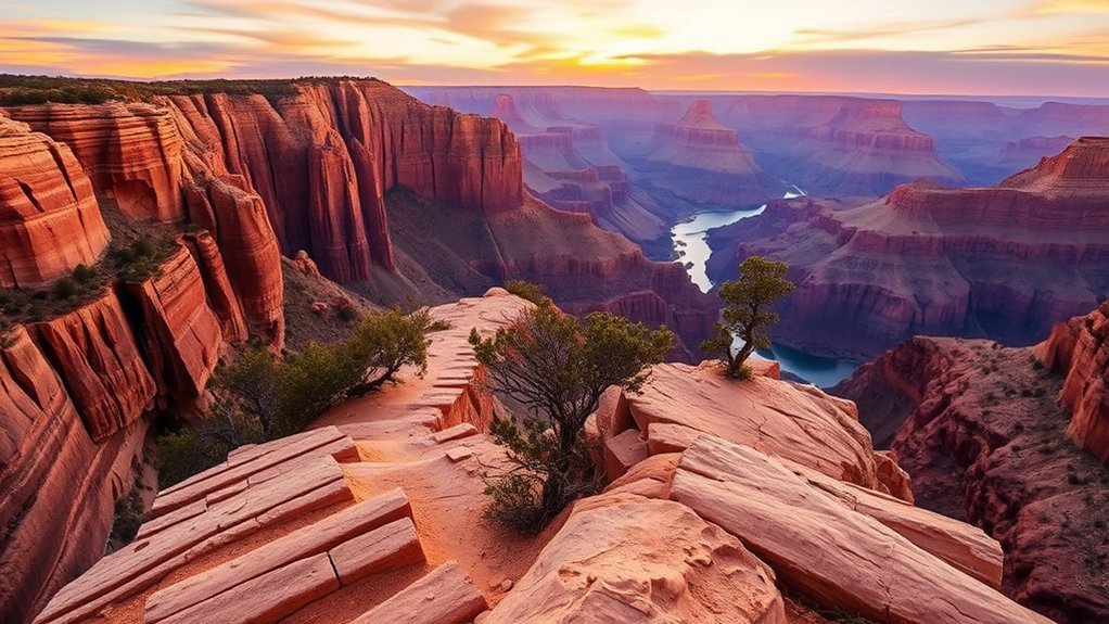
South Kaibab Trail to Ooh Aah Point is one of the best short Grand Canyon hikes for a day trip from Williams. According to the National Park Service, the hike is 1.8 miles round trip, usually takes one to two hours, and involves about 790 feet of elevation change.
The trail drops quickly from the South Rim along an exposed ridge. Wide canyon views begin almost immediately, but the open terrain also means limited shade and little protection from wind, heat, or storms. The climb back to the rim is much harder than the descent.
Warning: There is no water on South Kaibab Trail, and private vehicles cannot park at the trailhead. Park near the Grand Canyon Visitor Center and use the free Kaibab Rim Orange Route shuttle or another approved transport option.
Start early, carry sun protection, and save energy for the return climb. The NPS advises taking at least four liters of water during hot-weather hiking on this trail. Trailhead water can also be interrupted, so arrive with your supply already filled.
Ooh Aah Point has abrupt exposed edges. Keep children close, remain on the trail, and do not step beyond established areas for photographs. Pets are not allowed below the Grand Canyon rim.
Bright Angel Trail to Plateau Point
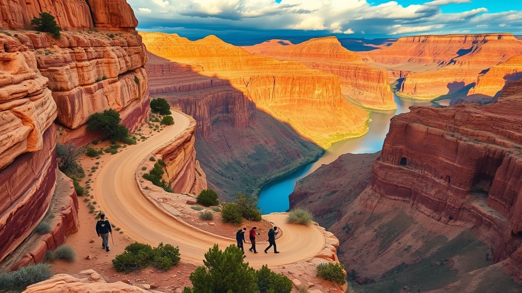
Bright Angel Trail to Plateau Point is a demanding inner-canyon hike rather than a casual viewpoint walk. The route is currently open. Grand Canyon National Park lifted its construction-related Plateau Point closure on June 26, 2026, five days earlier than previously scheduled.
Note: “Currently open” does not guarantee that the route will remain open on your hiking date. Check the park’s Key Hiking Messages for construction, weather, water, and emergency closures.
Distance and Difficulty
The National Park Service lists Plateau Point at about 12 miles round trip, 9 to 12 hours, and approximately 3,080 feet of elevation change. You descend first, cross exposed inner-canyon terrain, and then climb back to the South Rim after hours of hiking.
The NPS advises hikers to consult a ranger before attempting destinations beyond Havasupai Gardens as a day hike. Plateau Point is best reserved for well-prepared hikers with strong endurance, an early start, suitable weather, and enough time to finish before dark.
Water and Shade
Bright Angel has more shade and more potential water access than South Kaibab, but that does not make it easy. Water is normally available year-round at Havasupai Gardens and seasonally at Mile-and-a-Half and Three-Mile Resthouses. Pipeline breaks and freezing conditions can shut stations down.
- Check the current water report before leaving the rim.
- Carry enough water to manage an unexpected station outage.
- Bring food with salt and carbohydrates for the long climb.
- Avoid scheduling the ascent during the hottest part of a warm day.
- Turn around early if your pace is slower than planned.
Plateau Point View
Plateau Point provides a broad inner-canyon view above the Colorado River. The final approach is exposed, with little shade and no reason to approach the cliff edge. Wind can be strong, so secure hats and loose equipment.
Twelve miles at the Grand Canyon cannot be judged like twelve miles on a level forest path. The return climb, heat, altitude, and exposed terrain make Plateau Point a serious full-day objective.
Humphreys Peak Trail
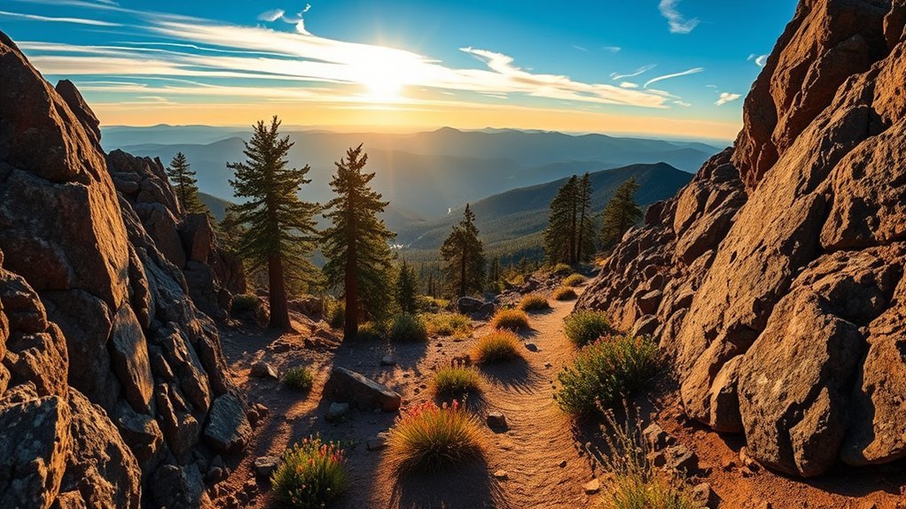
Humphreys Peak Trail No. 151 climbs to Arizona’s highest point near Flagstaff. The Forest Service lists the route at about 5 to 5.5 miles one way. The summit reaches 12,633 feet, where altitude, wind, cold, lightning, snow, and ice may affect even experienced hikers.
The trail begins in forest and becomes increasingly exposed as it approaches the high ridgeline. The combination of distance, sustained climbing, thin air, and rough terrain makes this a strenuous full-day hike.
- Start near sunrise: summer thunderstorms commonly build later in the day.
- Carry warm and waterproof layers: summit conditions may be much colder than Williams or Flagstaff.
- Watch for altitude symptoms: headache, nausea, unusual weakness, confusion, and poor coordination are reasons to descend.
- Check winter hazards: snow and avalanche conditions can continue into spring.
- Leave the ridge when thunder develops: do not wait for rain or visible lightning.
Choose Humphreys Peak when you have mountain fitness, a stable forecast, suitable equipment, and enough daylight. Bill Williams Mountain offers a closer and lower-elevation summit when you want a shorter day.
Bill Williams Mountain Trail
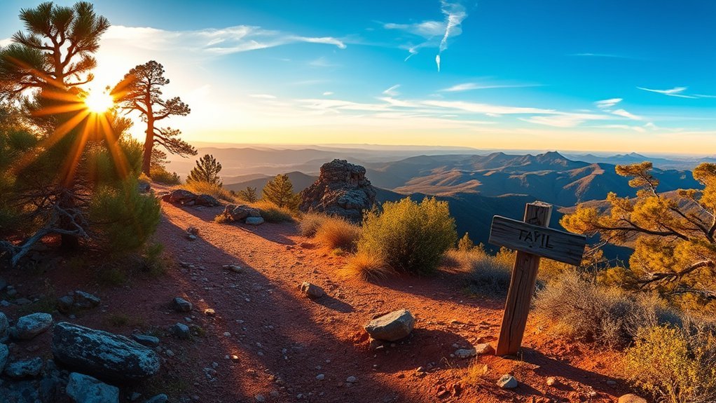
Bill Williams Mountain Trail #21 is the most convenient major summit hike near town. The trailhead is about two miles from downtown Williams, and the route climbs through ponderosa pine, oak, aspen, and fir before ending near 9,256 feet.
The trail is commonly mapped at about 7.3 miles round trip with more than 2,000 feet of climbing. Expect a sustained ascent, shaded forest, rocky areas, and a much faster descent. The Kaibab National Forest lists no water along the trail.
Pro Tip: Start early enough to avoid afternoon storms, but carry a wind layer even on a warm day. Conditions near the summit can feel colder than downtown Williams.
The trail also connects with other official routes, including Bixler Saddle Trail #72, Clover Spring Loop #46, Buckskinner Trail #130, and City of Williams Link Trail #124. Use an official map before combining routes because a loop may be substantially longer than the standard out-and-back.
Sycamore Rim Trail
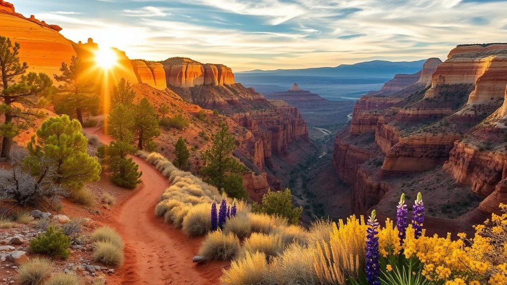
Sycamore Rim Trail #45 is a better-defined day-hiking choice than an unplanned descent into remote Sycamore Canyon Wilderness. The full route forms a loop of approximately 11 miles, but several access points let you complete shorter sections.
The southern and eastern portions follow the rim of Sycamore Canyon, while the northern and western portions cross ponderosa forest. Depending on the segment and season, you may encounter canyon overlooks, rock formations, seasonal pools, meadows, and the Sycamore Falls area.
- Navigation: follow rock cairns, small signs, and an offline map.
- Water: the Forest Service lists no available drinking water; seasonal pools are not dependable or automatically safe to drink.
- Road access: the primary Forest Road 56 access is generally suitable for sedans in favorable conditions.
- Distance: choose a short out-and-back unless you have enough time and navigation confidence for the full loop.
- Cliff safety: Sycamore Falls is also a climbing area, and unprotected cliffs require caution.
Do not treat a rim viewpoint as permission to descend into the wilderness without a separate route plan. Canyon access involves rougher terrain, fewer signs, limited water, and more difficult emergency response.
West Fork Oak Creek Trail
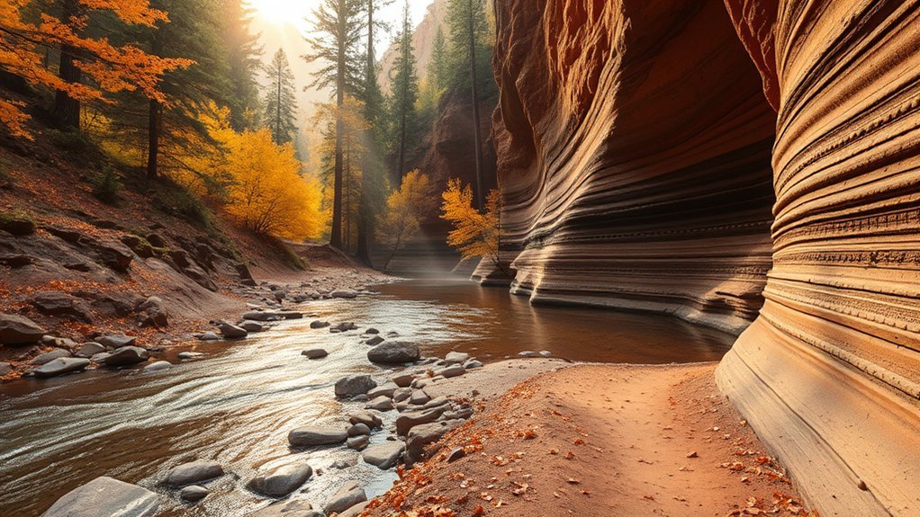
West Fork Oak Creek Trail No. 108 is one of the most popular shaded canyon hikes within day-trip distance of Williams. The Forest Service marks and maintains the first three miles, creating a common hike of roughly six miles round trip.
The trail follows Oak Creek beneath high canyon walls and crosses the water repeatedly. Most crossings involve stones or shallow water in normal conditions, but rain, snowmelt, or flooding can increase the depth and current.
Pro Tip: Casual day hikers should turn around near the end of the maintained three-mile section. Beyond it, the route becomes a demanding canyon journey that may require travel in the streambed.
The Call of the Canyon trailhead is a fee site with limited parking. Arrive early, especially on weekends and during fall color season. Wear shoes with wet-rock grip, protect electronics, and do not enter the canyon when flash flooding is possible.
Davenport Hill and Local Kaibab Forest Trails
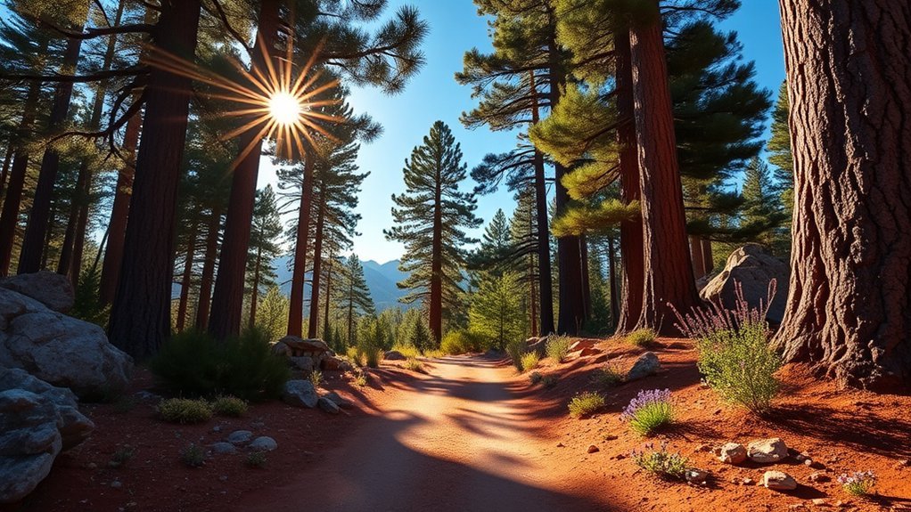
Kaibab National Forest surrounds Williams with quieter alternatives to the Grand Canyon and Sedona. One useful option is Davenport Hill Trail #63, a 5.6-mile round trip from Dogtown Lake with about 755 feet of elevation gain.
The Forest Service describes a gradual climb through woodland, fir, oak, and shaded canyon terrain, followed by views of Dogtown Lake and Bill Williams Mountain. The trail works well for hikers who want a meaningful local walk without the sustained climb of Bill Williams Mountain.
Other official routes around the lower slopes of Bill Williams Mountain include Buckskinner Trail, Clover Spring Loop, Benham Trail, Bixler Saddle Trail, and the City of Williams Link Trail. Distances change depending on the connection you choose, so use the Forest Service map rather than relying on an informal loop name.
- Best use: quieter day hikes, trail running, wildlife watching, and flexible half-day plans.
- Typical terrain: dirt, pine needles, loose rock, forest-road crossings, and occasional mud.
- Road warning: forest access can become muddy or snow-covered even when streets in Williams are clear.
- Wildlife: give elk and deer space and never approach calves or animals blocking the trail.
Fossil Creek
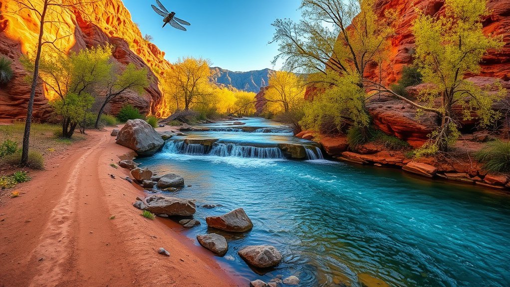
Fossil Creek has clear spring-fed water, riparian vegetation, and travertine formations, but it requires more advance planning than any other destination in this guide.
Permits are required for the Fossil Creek permit area from April 1 through October 1. Friday-through-Sunday access applied during April 2026. Beginning May 15, 2026, permit access expanded to seven days per week. The latest availability and rules appear on the official Fossil Creek permit page.
Permit and Arrival Rules
- Reserve the parking area you actually plan to use; your permit is valid only for that lot.
- Forty percent of permits are released one month ahead on a rolling basis, and 60% are released two days ahead.
- Print the complete permit and display the parking pass as directed.
- Reach the Highway 260 and Forest Road 708 junction by 2 p.m. to use a canyon parking permit.
- Permits are not required from October 2 through March 31, although closures and other restrictions may still apply.
Access and Water
For the eight creek-canyon parking areas, approach Forest Road 708 from State Route 260 near Camp Verde. Do not attempt to reach those lots from Strawberry. The canyon approach includes about 14 miles of rough dirt road, and a high-clearance vehicle is strongly recommended.
Bob Bear Trailhead is reached from the Strawberry side, but it involves a strenuous four-mile descent with about 1,500 feet of elevation loss. It does not provide direct access to the main waterfall parking area.
Warning: Fossil Creek has no lifeguards, no potable water, poor phone reception, extreme heat exposure, and slow rescue response. Official guidance says to bring no less than one gallon of drinking water per person during permit season.
Campfires, charcoal fires, and glass containers are prohibited in the permit area. There is no trash service, and camping is prohibited from April 1 through October 1. Pack out all food, waste, and equipment.
Red Rock Crossing and Cathedral Rock Near Sedona
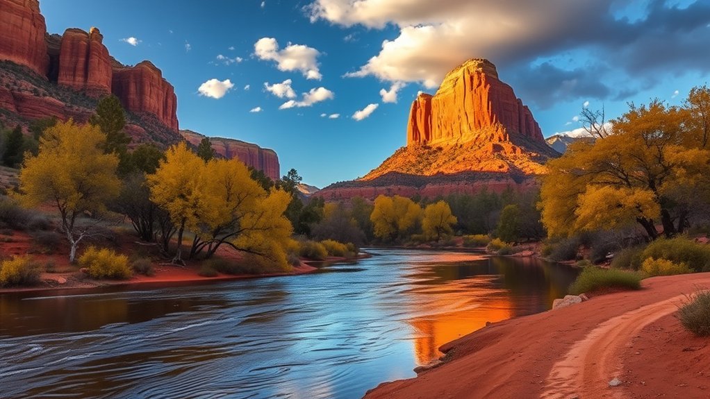
Red Rock Crossing and Cathedral Rock provide two different Sedona experiences. They share views of the same landmark, but they do not form one easy-to-moderate trail.
Red Rock Crossing at Crescent Moon
Crescent Moon Picnic Site provides easy creekside access to the classic view of Cathedral Rock reflected in Oak Creek. You can take a short walk, picnic, photograph the reflection, or wade when conditions are safe.
As of July 2026, the day-use fee is $15 per vehicle for up to five people. The Red Rock Pass and America the Beautiful Pass are not accepted at this concession-operated site. The area has paved road access, vault toilets, and potable water, but parking can fill on busy days.
Cathedral Rock Trail
Cathedral Rock Trail No. 170 is a separate, strenuous scramble. The Forest Service lists it at 1.1 miles round trip with 669 feet of elevation gain. Steep slickrock, notched footholds, exposure, and little shade make it much harder than its mileage suggests.
The free Sedona Shuttle Route 15 serves Cathedral Rock Thursday through Sunday under its regular schedule, with additional service on selected holidays and peak dates. Trailhead parking may be closed while shuttle service is operating.
- Choose Red Rock Crossing for an easy creek visit, family picnic, or photographs.
- Choose Cathedral Rock Trail for a steep scramble when the rock is dry and you are comfortable using your hands.
- Skip the scramble during rain, ice, extreme heat, lightning, or heavy congestion.
Williams-Area Forest Trail Connections
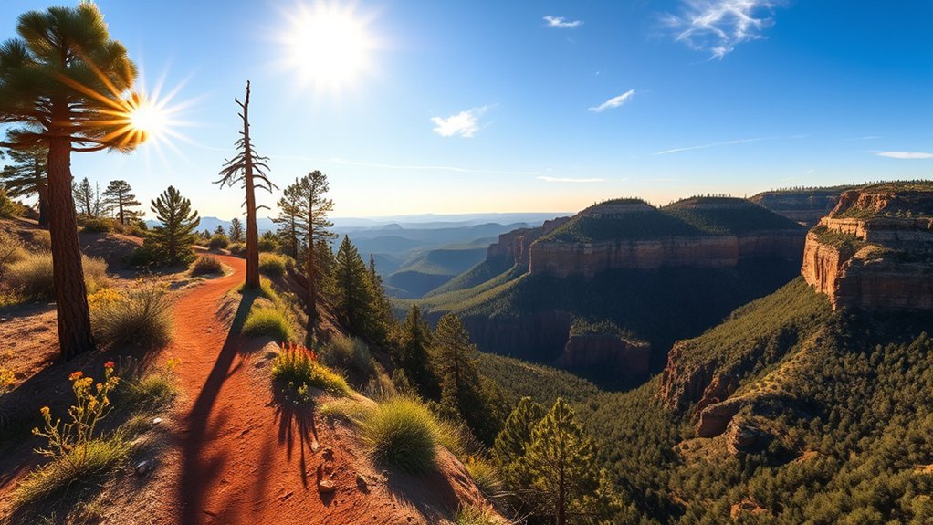
Local maps and hiking apps sometimes use informal names for forest routes around Williams. No single official Forest Service route is listed as “Williams Rim Trail.” Use the official trail number and trailhead name when planning or sharing your location.
Trail Overview and Terrain
The local network includes City of Williams Link Trail #124, Buckskinner Trail #130, Clover Spring Loop #46, Benham Trail #38, Bixler Saddle Trail #72, and Bill Williams Mountain Trail #21. Depending on your connection, you may encounter packed dirt, pine needles, gravel, short rocky climbs, meadows, and forest-road crossings.
Choose a simple out-and-back unless you have an official map showing the full connection. Informal app routes may combine trails and roads into distances that are not posted at the trailhead.
Wildlife and Vegetation
Williams-area forest trails pass through ponderosa pine, Gambel oak, fir, aspen, meadow grasses, and seasonal wildflowers. You may see elk, mule deer, coyotes, ravens, hawks, songbirds, squirrels, and snakes.
Watch wildlife from a distance, keep food secured, and never feed animals. Dawn and dusk may improve wildlife viewing, but they also reduce visibility and increase the chance of encountering animals near roads.
Access and Parking Tips
- Use the Forest Service trail page or visitor map to identify the exact trailhead.
- Check road status, fire restrictions, smoke, and weather before leaving Williams.
- Park without blocking gates, roads, livestock access, or emergency vehicles.
- Download the route before entering the forest.
- Tell someone which named trail you are using and when you expect to return.
How to Pick the Right Hike Near Williams
Choose by combining distance, climbing, exposure, altitude, road access, and your available daylight. A longer shaded forest route may feel easier than a short exposed scramble. A downhill Grand Canyon start may hide how difficult the return will be.
| If You Want | Choose | Avoid It When |
|---|---|---|
| A local summit | Bill Williams Mountain | You need a flat or beginner-level walk |
| A quieter local forest hike | Davenport Hill | Dogtown Lake access roads are snowy or muddy |
| Quick Grand Canyon views | South Kaibab to Ooh Aah Point | You dislike steep exposure or cannot manage the return climb |
| A full inner-canyon day | Bright Angel to Plateau Point | You lack endurance, an early start, or a stable forecast |
| An alpine summit | Humphreys Peak | Storms, snow, high wind, or altitude symptoms are likely |
| Shaded creek scenery | West Fork Oak Creek | Flooding is possible or you need guaranteed dry footing |
| Easy Sedona photographs | Red Rock Crossing | The fee area is full or Oak Creek conditions are unsafe |
| A short rock scramble | Cathedral Rock Trail | The rock is wet, icy, very hot, or overcrowded |
| Permit-managed water scenery | Fossil Creek | You lack a required permit, enough water, or a suitable vehicle |
Best Season for Hiking Near Williams
Spring
Spring can bring comfortable lower-elevation weather, lingering mountain snow, muddy forest roads, and high creek flows. Fossil Creek permit season begins April 1. Confirm whether Bill Williams Mountain and Humphreys Peak still require winter traction or snow equipment.
Summer
Summer favors shaded Williams forest routes, but Grand Canyon, Sedona, and Fossil Creek can become dangerously hot. Northern Arizona’s monsoon also brings lightning, strong wind, hail, heavy rain, and flash flooding. Begin exposed routes early and avoid narrow canyons when storms are forecast.
Fall
Fall often provides the best overall hiking balance. West Fork can have strong leaf color, while Williams-area trails offer cool forest conditions. Popular trailheads may fill early during peak color weekends.
Winter
Snow and ice can affect Williams, Bill Williams Mountain, Sycamore Rim, Humphreys Peak, and Grand Canyon rim trails. Carry traction when appropriate and check whether unpaved forest roads are open. Sedona may be milder, but shaded slickrock and creek crossings can still ice over.
How Much Water Should You Carry?
No single amount is safe for every person or trail. Temperature, duration, body size, altitude, pace, shade, and medical needs all affect water use.
- Short, cool forest hike: many hikers begin with 2 to 3 liters, plus extra in the vehicle.
- Hot South Kaibab hike: the NPS advises at least 4 liters during hot weather.
- Fossil Creek permit area: official guidance says no less than 1 gallon per person.
- Long summit or inner-canyon hike: calculate the full day’s needs and carry a backup plan for failed water stations.
Drink regularly, eat enough food, and avoid forcing excessive plain water without replacing salt during long, sweaty hikes. Natural creeks, pools, tanks, and springs may contain pathogens or contaminants and should not be treated as guaranteed drinking sources.
Safety Checklist for Hiking Around Williams
- Check the official land manager’s closure, weather, fire, road, permit, and water notices.
- Confirm your exact trailhead rather than relying on a general area name.
- Download an offline map and save the return route to Williams.
- Carry water, food, sun protection, insulating layers, rain protection, a first-aid kit, and a headlamp.
- Begin exposed and high-elevation hikes early.
- Leave summits, ridges, and open slickrock when thunder develops.
- Stay out of narrow canyons and creek crossings when flash flooding is possible.
- Tell someone your route, vehicle location, and expected return time.
- Keep pets leashed where required and check whether pets are allowed at all.
- Pack out trash and waste, remain on durable trails, and give wildlife room to move away.
Note: Pets are not allowed below the rim at Grand Canyon National Park. This includes Bright Angel, South Kaibab, and North Kaibab trails. Service animals assisting people with disabilities are treated under separate rules.
Sources
- Grand Canyon National Park Key Hiking Messages — current corridor-trail openings, closures, water, and safety notices.
- NPS South Kaibab Trail and NPS Bright Angel Trail — distances, elevation changes, water, access, and difficulty.
- Bill Williams Mountain Trail #21 and Sycamore Rim Trail #45 — official Williams Ranger District trail information.
- Humphreys Trail #151 and West Fork Trail #108 — alpine and creek-canyon route information.
- Fossil Creek Wild and Scenic River Permits — 2026 permits, release timing, access roads, arrival rules, water, and restrictions.
- Cathedral Rock Trail, Crescent Moon Picnic Site, and Sedona Shuttle Route 15 — separate Sedona hiking, fee, and transport information.
Frequently Asked Questions
What are the best hikes near Williams, Arizona?
Top choices include Bill Williams Mountain, Davenport Hill, Sycamore Rim, South Kaibab to Ooh Aah Point, West Fork Oak Creek, Humphreys Peak, Red Rock Crossing, Cathedral Rock, and permit-managed Fossil Creek.
What is the easiest scenic hike near Williams?
A short segment of Sycamore Rim or an out-and-back on a named local forest trail is usually easier than a canyon or summit route. Davenport Hill offers a comparatively gradual climb, although its full route is still 5.6 miles.
Is Plateau Point open in 2026?
Yes. Grand Canyon National Park reopened Plateau Point Trail on June 26, 2026. Check the current Key Hiking Messages page before your trip because construction, weather, water failures, or emergencies may create new restrictions.
Do I need permits or passes?
Grand Canyon National Park charges an entrance fee. Some Sedona and Oak Creek trailheads require paid parking or a pass. Fossil Creek requires a reserved parking permit from April 1 through October 1. Bill Williams Mountain and Sycamore Rim do not charge a trail fee, although other recreation sites may.
When is the best season to hike near Williams?
Fall and late spring often provide the best balance of comfortable temperatures and trail access. Summer works well for shaded forest hikes but brings canyon heat and monsoon storms. Winter can bring snow, ice, mud, and closed forest roads.
Are dogs allowed on these hikes?
Dogs are allowed on many national forest trails when controlled and when local rules are followed. Pets are not allowed below the Grand Canyon rim, including on Bright Angel and South Kaibab trails. Crescent Moon requires pets to remain leashed.
How much water should I carry?
Match your supply to the route, weather, altitude, duration, and your needs. Two to three liters may suit some cool, moderate forest hikes. NPS guidance calls for at least four liters during hot South Kaibab hiking, while Fossil Creek advises no less than one gallon per person.
Is Ooh Aah Point worth the hike?
Yes, especially when you want dramatic Grand Canyon views without committing to a full inner-canyon day. The trail is still steep, exposed, and waterless, so treat it as a real hike rather than a roadside overlook.
Can beginners hike Bill Williams Mountain?
Fit beginners may enjoy part of the trail, but the full summit has sustained climbing and no drinking water. An out-and-back lets you turn around when you reach your planned time, distance, or energy limit.
Which hike has the best summit view?
Bill Williams Mountain is the best convenient summit near town. Humphreys Peak provides the biggest alpine summit experience and reaches Arizona’s highest point, but it is farther away and substantially more strenuous.
Do I need a shuttle for Cathedral Rock?
The Sedona Shuttle is strongly recommended when it operates. Regular trailhead service runs Thursday through Sunday, and Cathedral Rock trailhead parking may close while shuttle service is active.
What wildlife might I see?
Possible sightings include elk, mule deer, coyotes, javelina, ravens, hawks, songbirds, lizards, and snakes. Mountain lions live in northern Arizona but are rarely seen. Never feed wildlife or block an animal’s escape route.
Where can I get emergency medical help?
Call 911 for an emergency. Williams has local emergency response, while larger hospital services are available in Flagstaff. Remote roads, canyons, poor phone coverage, and weather can delay rescue, so share your plan and carry basic first-aid supplies.
Conclusion
The best hikes around Williams range from quiet ponderosa forest routes to exposed Grand Canyon trails and high alpine summits. Choose Bill Williams Mountain for a convenient local climb, Davenport Hill for a gentler forest outing, South Kaibab for fast canyon views, West Fork for shaded creek scenery, or Humphreys Peak when you are ready for a serious mountain day.
For a longer trip, separate the easy creek experience at Red Rock Crossing from the strenuous Cathedral Rock scramble, and reserve Fossil Creek only after reviewing its permit and access rules. Check official conditions before leaving, start early, carry route-appropriate water and equipment, and turn around while you still have enough energy, daylight, and supplies to return safely.