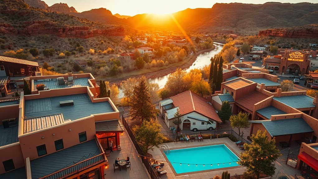
Last updated: May 23, 2026.
If you want the best hikes around Williams, you need more than a list of pretty trails. The area gives you shaded ponderosa forest, Grand Canyon rim access, red-rock canyons, creek hikes, and high alpine terrain, but each route comes with different risks, drive times, permits, and seasonal limits. This guide helps you choose the right trail for your fitness, time, and comfort level before you leave town.
Quick Answer: Best Hikes Around Williams, Arizona
The best hikes around Williams include Bill Williams Mountain Trail for a local summit, Sycamore Rim Trail for forest and canyon views, South Kaibab Trail to Ooh Aah Point for a short Grand Canyon challenge, West Fork Oak Creek Trail for creekside scenery, and Humphreys Peak Trail for a strenuous alpine summit near Flagstaff.
Before You Choose a Trail
- Choose Grand Canyon trails carefully: inner-canyon hikes feel harder on the return because you climb out last.
- Check official closures: Plateau Point Trail has a listed closure through June 30, 2026.
- Confirm water availability: Grand Canyon water stations can change because of pipeline repairs or breaks.
- Watch elevation: Williams sits high enough for fast weather changes, cold mornings, and winter snow.
- Do not trust phone service: download maps before you drive to remote forest roads or canyon trailheads.
Best Hikes Near Williams, Arizona at a Glance
| Trail | Best For | Typical Distance | Difficulty | Key Planning Note |
|---|---|---|---|---|
| South Kaibab Trail to Ooh Aah Point | Grand Canyon views | 1.8 miles round trip | Moderate to strenuous | No water on trail; no private parking at trailhead |
| Bright Angel Trail to Plateau Point | Long inner-canyon hike | 12 miles round trip from rim | Strenuous | Plateau Point Trail closed through June 30, 2026 |
| Humphreys Peak Trail | Alpine summit | About 10 to 11 miles round trip | Strenuous | Altitude, storms, snow, and wind can change fast |
| Bill Williams Mountain Trail | Local summit near town | About 7 to 8 miles round trip | Moderate to strenuous | No reliable drinking water along the trail |
| Sycamore Rim Trail | Forest and canyon rim views | Segment or full loop options | Moderate | Use a map; signs and cairns guide the route |
| West Fork Oak Creek Trail | Shaded creek canyon | First 3 miles are popular; longer trips are rugged | Easy to difficult | Fee site with creek crossings and limited parking |
| Fossil Creek | Spring-fed water and travertine | Varies by trailhead | Moderate to strenuous | Permit rules apply during the 2026 spring-summer season |
| Red Rock Crossing and Cathedral Rock | Sedona views and photos | About 1 to 2 miles depending on route | Easy to moderate | Parking fills early; shuttle options may help |
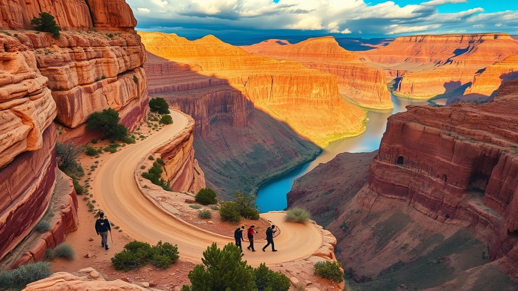
South Kaibab Trail to Ooh Aah Point

South Kaibab Trail to Ooh Aah Point is one of the best short Grand Canyon hikes you can reach from Williams as a day trip. The route is only 1.8 miles round trip, but it drops steeply into the canyon and climbs about 790 feet on the return. That makes it short, scenic, and more demanding than the mileage suggests.
The trail follows an exposed ridgeline with big views almost immediately. You get switchbacks, carved steps, open canyon walls, and a dramatic overlook at Ooh Aah Point. The National Park Service lists the South Kaibab Trail as open to Phantom Ranch, but hikers should still check the latest Grand Canyon trail updates before starting.
Safety note: South Kaibab has little shade and no water on the trail. The trailhead also does not allow private vehicle parking, so plan to use the park shuttle, walk, bike, or use approved transport.
Start early, especially from late spring through early fall. Carry water, sun protection, snacks, and layers for wind. Trekking poles can help on the descent, but save energy for the climb out. Stay on the marked trail and use designated viewpoints for photos because the edges are abrupt.
Bright Angel Trail to Plateau Point
Bright Angel Trail to Plateau Point is a classic Grand Canyon route, but it needs careful planning in 2026. The National Park Service lists Plateau Point Trail from the Tonto Trail junction to Plateau Point as closed through June 30, 2026 for Transcanyon Waterline construction. If you plan this hike after that date, confirm the route status before you go.
When open, the full hike from the South Rim to Plateau Point is about 12 miles round trip, takes about 9 to 12 hours, and includes about 3,080 feet of elevation change. This is not a casual viewpoint walk. You descend first and climb back out later, usually when your legs already feel tired.
Trail Overview
The Bright Angel Trail starts near Grand Canyon Village and descends through a series of well-built switchbacks. When Plateau Point access is open, hikers continue past Havasupai Gardens toward a broad overlook above the Colorado River. The route gives you inner-canyon views, layered rock walls, and one of the park’s most memorable river viewpoints.
Because this trail has shade, resthouses, and seasonal water in some places, many hikers underestimate it. Do not make that mistake. Heat, distance, elevation change, and construction closures can all change your plan. Read the latest National Park Service alerts before you commit to the full route.
Water & Shade
Plan your water before you descend. Grand Canyon water stations can change because of pipeline repairs, seasonal shutoffs, or breaks. Carry enough water to stay safe even if a station is unavailable. For longer day hikes into the canyon, many hikers need more than 2 to 3 liters, especially in warm weather.
- Check current water status at the trailhead or on the National Park Service website before hiking.
- Start before the hottest part of the day and avoid climbing out during peak afternoon heat.
- Use a hat, sun shirt, salty snacks, and regular breaks to manage heat stress.
- Turn around early if you feel dizzy, weak, confused, or overheated.
Scenic Lookout
Plateau Point gives hikers a wide view of the Colorado River and the inner canyon. Morning and late afternoon light add strong contrast to the cliffs, while midday light can feel harsh and hot. When the route is open, stop only in safe areas, secure loose items in wind, and keep children away from exposed edges.
Humphreys Peak Trail
Humphreys Peak Trail leads to Arizona’s highest point near Flagstaff. It sits farther from Williams than the local forest trails, but it belongs on this list for hikers who want a serious alpine challenge. The standard route runs about 5 to 5.5 miles one way, so most hikers treat it as a long, strenuous day hike.
You’ll start in forest, climb through changing vegetation, and eventually reach exposed high-elevation terrain. The summit reaches 12,633 feet, so altitude can affect your breathing, pace, and energy. Wind, lightning, snow, and ice can make the trail unsafe even when conditions look clear from town.
- Start early: summer storms often build later in the day around the San Francisco Peaks.
- Carry layers: summit weather can feel cold and windy even when Flagstaff feels mild.
- Check snow and avalanche conditions: winter and spring storms can create serious high-elevation hazards.
- Turn around if needed: reaching the summit is never worth lightning, altitude sickness, or whiteout conditions.
Choose Humphreys Peak only if you have the fitness, gear, and time for a full mountain day. For a shorter summit experience closer to Williams, choose Bill Williams Mountain instead.
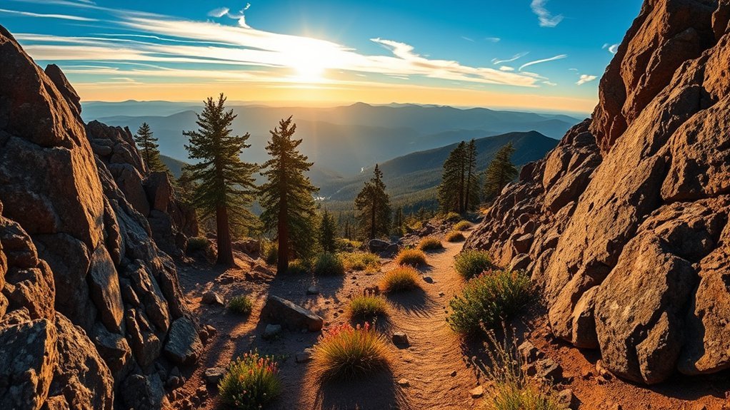
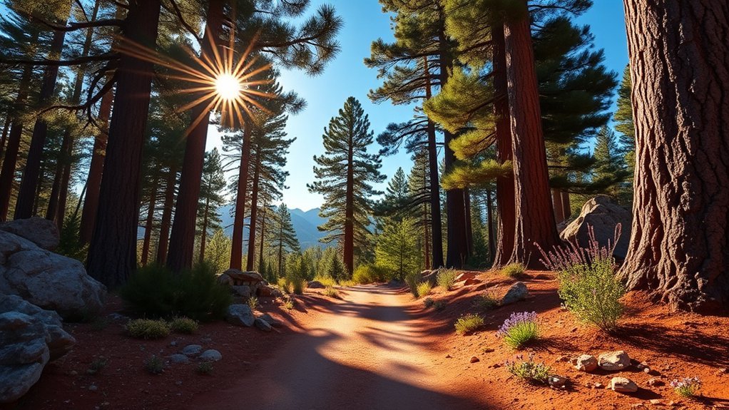
Bill Williams Mountain Trail
Bill Williams Mountain Trail #21 is the most natural summit hike near Williams. The trail climbs from ponderosa pine and oak into aspen and fir, with views back toward the valley and distant peaks. It ends near the top of Bill Williams Mountain at about 9,256 feet.
Expect a moderate to strenuous climb with steady uphill walking, shaded forest, and some rocky sections. The route works well for hikers who want a real workout without driving all the way to Flagstaff or the Grand Canyon. You still need to treat it seriously because the trail has no reliable drinking water.
Best fit: Pick Bill Williams Mountain if you want a local Williams hike with forest shade, summit views, and a clear sense of accomplishment.
Wear sturdy shoes, carry water, and bring a wind layer for the summit. Cell service can be unreliable, so download your map before leaving town. Dawn and late afternoon can bring wildlife activity, but give elk, deer, and other animals plenty of space.
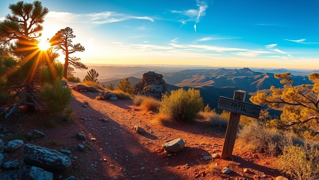
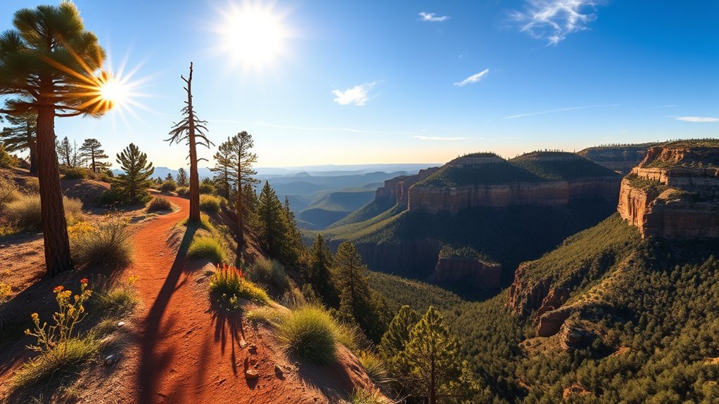
Sycamore Canyon Trail
The Williams area is closely tied to Sycamore Canyon, one of Arizona’s rugged wilderness landscapes. For many day hikers, the better planning target is the Sycamore Rim Trail #45, which forms a loop with access at several points. The southern and eastern parts follow the rim of Sycamore Canyon, while the northern and western parts move through ponderosa pine forest.
This route gives you forest walking, canyon viewpoints, rock features, seasonal water areas, and a quieter feel than the busiest Grand Canyon and Sedona trails. The full loop is a bigger commitment, but you can also hike shorter segments if you plan your access point carefully.
- Distance and difficulty: choose a short segment or the full loop based on your time and navigation comfort.
- Navigation: watch for cairns, small signs, and junctions; bring an offline map.
- Best time: spring, early summer, and fall usually offer better temperatures than exposed midsummer afternoons.
- Hazards: remote roads, limited cell service, sudden storms, and uneven tread can slow you down.
Do not confuse an easy rim segment with a remote canyon descent. Sycamore Canyon Wilderness has limited access, no potable water at many sites, and more serious navigation demands once you leave simple day-hike routes.
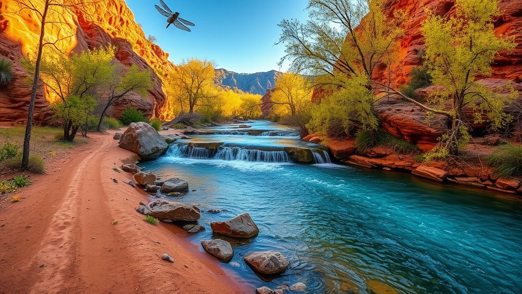
West Fork Oak Creek Trail
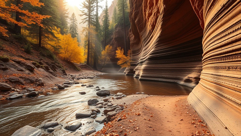
West Fork Oak Creek Trail No. 108 is one of the most popular creek hikes within reach of Williams. The first 3 miles are the usual day-hike section, with shade, red-rock walls, trees, and repeated creek crossings. The Forest Service lists the first 3 miles as easy, while the full canyon route beyond that becomes much more rugged.
Expect rock hops, wet feet, slick stones, and slow movement after rain or during high water. Shoes with grip matter more than speed here. The trailhead sits at the Call of the Canyon area, which is a fee site with limited parking. Arrive early if you want a smoother start.
Planning tip: Most casual hikers should enjoy the first 3 miles and turn around before the route becomes a demanding backcountry canyon trip.
Spring brings green canyon scenery, summer offers shade but more crowds, and fall can bring strong color. Cell service is unreliable, so save your route and parking details ahead of time.
Kaibab National Forest Pine Trails Loop
Kaibab National Forest surrounds the Williams area with high-country forest, open meadows, service roads, and shorter local trail connections. These routes work well when you want a lower-pressure hike than the Grand Canyon or Humphreys Peak. Expect ponderosa pine, soft needle-covered tread, cool mornings, and occasional wildlife.
Because local forest trails and roads can change with weather, fire restrictions, closures, and maintenance, confirm the exact route name and access point before you leave. Carry a map, water, and layers. Do not assume every forest road is passable after snow or rain.
Kaibab forest hikes near Williams are best for shaded walking, quiet trail time, and flexible half-day plans, but you still need water, maps, and road-condition awareness.
- Best use: easy to moderate forest walks, trail runs, wildlife watching, and short loops.
- Typical terrain: packed dirt, pine needles, rocky patches, and forest road crossings.
- Best seasons: late spring through fall, with winter possible only when roads and trail conditions allow.
- Dog note: leash rules and control requirements may vary by site, so check posted signs.
Fossil Creek Trail
Fossil Creek offers clear spring-fed water, riparian scenery, and travertine formations, but it is not a simple “show up and hike” destination during the busy season. For the 2026 spring-summer season, the Forest Service lists access as open to permit holders on Fridays, Saturdays, and Sundays from April 1 to October 1. Printed permits are required for creek-side parking areas and trailheads during that season.
Access rules also matter. The Forest Service says vehicle access to Fossil Creek is from the Camp Verde side using SR 260 to Fossil Creek Road, not from Strawberry for creek-side vehicle access. Roads can be rough, muddy, and slow. Do not depend only on Google Maps or phone navigation.
- Permit season: April 1 to October 1, 2026, with advance reservations required for spring-summer access.
- Non-permit season: October 2 to March 31, with different rules and restrictions.
- Always prohibited: campfires and glass containers throughout Fossil Creek.
- Pack-out rule: no trash service means you must carry out everything you bring in.
Fossil Creek rewards careful planners with water, shade, and striking scenery. It punishes casual planning with permit problems, rough access, heat, and long response times if something goes wrong.
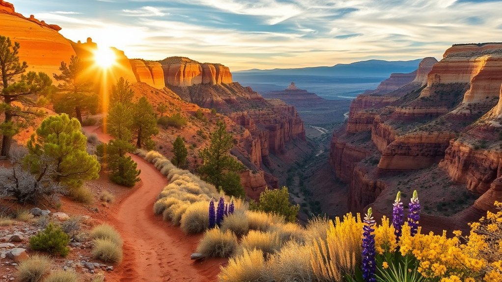
Sedona Red Rock Crossing and Cathedral Rock
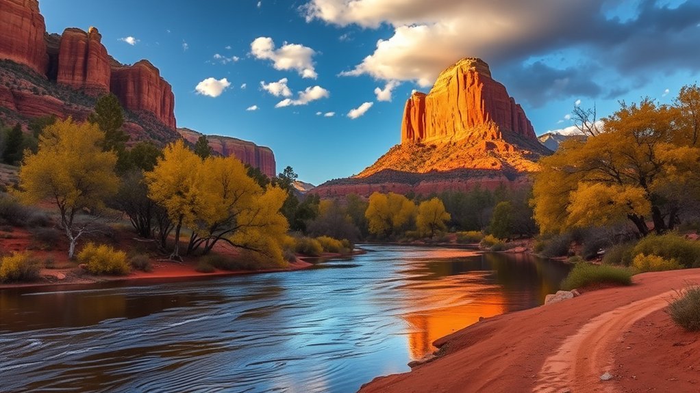
Red Rock Crossing and the Cathedral Rock area give you classic Sedona scenery within a longer day trip from Williams. This is a strong choice if you want creek reflections, red sandstone views, and a photo-friendly route rather than a long forest hike.
The easier creekside walking suits casual hikers, while the Cathedral Rock saddle route adds a short, exposed scramble. Wear shoes with grip, carry water, and turn around if the rock feels too slick or crowded. Parking can fill early, especially on weekends and holidays. Sedona shuttle options may help you avoid busy trailhead parking areas.
Start at Red Rock Crossing for creekside views and Cathedral Rock photos, then choose whether to keep the day easy or add the steeper scramble.
- Trail type: creekside walk with optional rock scramble.
- Distance: about 1 to 2 miles round trip depending on route.
- Difficulty: easy near the creek, moderate where scrambling begins.
- Best light: morning or late afternoon for softer color and stronger reflections.
Williams Rim Trail
The Williams Rim Trail area gives hikers a quieter local option with forest singletrack, rocky ridge sections, open meadows, and wildlife viewing. Because local naming, access roads, and trail conditions can vary, verify your exact trailhead and route before you drive. Forest roads can be muddy, snowy, or rough depending on season.
Trail Overview and Terrain
Expect a mix of packed dirt, gravel, rocky tread, pine forest, and open viewpoints. Some sections feel smooth and moderate, while others require more attention to footing. This route is best for hikers who want local scenery near Williams without the crowds of the Grand Canyon or Sedona.
- Distance: choose a short out-and-back or longer section based on your map and trailhead.
- Surface: dirt, gravel, pine needles, and occasional rock.
- Grade: mostly moderate, with short climbs and descents.
- Navigation: download maps before leaving town because cell service can fade.
Wildlife and Vegetation
On local Williams forest trails, you may see ponderosa pine, oak, meadow grasses, elk tracks, mule deer, songbirds, ravens, hawks, chipmunks, and ground squirrels. Dawn and dusk usually offer the best wildlife viewing, but they also bring lower light and cooler temperatures. Keep distance from animals and never feed them.
Access and Parking Tips
Check road status, fire restrictions, and weather before driving to any forest trailhead near Williams. Park only where allowed, avoid blocking gates, and leave valuables out of sight. In winter and early spring, snow, ice, and mud can make access roads more difficult than the hike itself.
- Arrive early on weekends and holidays.
- Carry traction aids in winter if trails are icy.
- Respect posted parking limits and private property boundaries.
- Tell someone your route and expected return time.
How to Pick the Right Hike Near Williams
Choose your hike by matching distance, elevation, heat, road access, and permit rules to your real comfort level. A short Grand Canyon hike can feel harder than a longer forest walk because you climb out at the end. A shaded creek hike can feel easy until water crossings slow your pace.
| If You Want | Choose This Trail | Avoid This If |
|---|---|---|
| Quick Grand Canyon views | South Kaibab to Ooh Aah Point | You dislike exposure or steep climbs |
| A local summit | Bill Williams Mountain Trail | You need an easy, flat route |
| Alpine challenge | Humphreys Peak Trail | You are not ready for altitude or storms |
| Shaded creek scenery | West Fork Oak Creek Trail | You want dry feet and empty parking |
| Permit-managed water scenery | Fossil Creek | You do not have a permit in season |
| Red-rock photos | Red Rock Crossing and Cathedral Rock | You want solitude on a peak weekend |
Safety Checklist for Hiking Around Williams
Williams-area hikes can shift from mild forest walks to exposed desert canyon routes within the same trip. Use this checklist before every hike, even if the route looks short.
- Check the official land manager website for closures, fire restrictions, road status, fees, and permits.
- Carry more water than you think you need, especially for Grand Canyon, Sedona, and Fossil Creek routes.
- Download offline maps and save trailhead directions before leaving town.
- Pack sun protection, layers, snacks, a first-aid kit, and a headlamp.
- Start early for exposed hikes and avoid climbing during peak afternoon heat.
- Turn around before you feel exhausted, not after.
- Keep dogs leashed or under control where allowed, and check pet rules before entering parks or fee sites.
- Follow Leave No Trace: stay on trail, pack out trash, and give wildlife space.
Official Planning Sources
Use official sources before you finalize your route, especially for Grand Canyon closures, Fossil Creek permits, Red Rock passes, and forest road conditions.
- Grand Canyon National Park key hiking messages and closures
- National Park Service South Kaibab Trail information
- National Park Service Bright Angel Trail information
- Coconino National Forest Humphreys Trail No. 151
- Kaibab National Forest Bill Williams Mountain Trail #21
- Kaibab National Forest Sycamore Rim Trail #45
- Coconino National Forest West Fork Trail No. 108
- Coconino National Forest Fossil Creek Wild and Scenic River
- Coconino National Forest Red Rock Ranger District
Frequently Asked Questions
Are Dogs Allowed on These Trails?
Dogs are allowed on many national forest trails near Williams, but rules vary by site. Keep your dog leashed or under control, pack out waste, and check park or recreation-area rules before you go. Grand Canyon inner-canyon pet rules are much stricter than many forest trails.
What Is the Best Season to Visit Williams for Hiking?
Spring and fall usually offer the best balance of trail access and comfortable temperatures. Summer can work well for shaded forest hikes, but canyon and red-rock routes may feel dangerously hot. Winter can bring snow, ice, mud, and closed or difficult forest roads.
Are Permits or Fees Required for Any Nearby Hikes?
Yes. Grand Canyon National Park charges entrance fees. Some Sedona and Oak Creek sites require passes or paid parking. Fossil Creek requires advance permits during its spring-summer permit season. Always confirm the current rule with the official land manager before driving to the trailhead.
What Wildlife Should Hikers Expect to Encounter?
Hikers may see elk, mule deer, coyotes, javelina, songbirds, ravens, hawks, lizards, and snakes. Mountain lions live in Arizona but sightings are uncommon. Keep distance, never feed wildlife, store food securely, and give animals an escape route.
Where Are the Nearest Medical Facilities or Emergency Services?
For emergencies, call 911. Williams has local emergency response, while larger medical services are generally in Flagstaff. Remote trailheads, canyon routes, and forest roads can slow response times, so carry a first-aid kit, share your plan, and avoid hiking beyond your limits.
What Is the Easiest Hike Near Williams?
Short local forest routes and partial Sycamore Rim Trail segments are usually easier than Grand Canyon inner-canyon trails. Pick a route with modest elevation gain, clear access, and a distance you can finish comfortably before dark.
Is Ooh Aah Point Worth the Hike?
Yes, Ooh Aah Point is worth it if you want a short hike with dramatic Grand Canyon views. The route is steep and exposed, so treat it as a real hike rather than a quick overlook stop.
Can Beginners Hike Bill Williams Mountain?
Beginners with good fitness can hike part of Bill Williams Mountain Trail, but the full summit route has steady climbing and no reliable drinking water. Start early, carry water, and turn around if the grade feels harder than expected.
Do I Need a Shuttle for Sedona Hikes?
You may not always need a shuttle, but it can help at popular Sedona trailheads when parking fills early. Check current Sedona shuttle routes and trailhead parking rules before you drive from Williams.
How Much Water Should I Bring?
For moderate hikes, bring at least 2 to 3 liters per person. For hot, exposed, or Grand Canyon inner-canyon hikes, bring more and confirm water-station status before you start. Add electrolytes or salty snacks for long warm-weather hikes.
Conclusion
The best hikes around Williams range from quiet pine forest walks to serious canyon and alpine routes. Pick Bill Williams Mountain for a local summit, South Kaibab to Ooh Aah Point for a short Grand Canyon challenge, West Fork Oak Creek for shade and water, or Humphreys Peak when you are ready for a full mountain day.
Before you go, check current closures, permits, water status, weather, and road conditions. Then match the trail to your fitness, start early, carry enough water, and leave a clear plan with someone you trust. A smart choice will make your Williams hiking day safer, easier, and far more rewarding.